Mori Atlas logo
National parkVeľká Fatra National Park

Mapping the protected area and natural terrain of this Slovakian national park.

Veľká Fatra National Park: A Protected Landscape within Slovakia's Geography

(Národný park Veľká Fatra)

Veľká Fatra National Park represents a significant protected landscape within Slovakia's diverse geography. This atlas-focused exploration details the park's boundaries, its role as a national park, and the surrounding natural terrain. Understand the mapped context and the unique geographic identity of Veľká Fatra National Park as a key protected area for discovery.

Carpathian MountainsNational ParkOld-growth ForestBeech ForestsMountain HikingWildlife Conservation

Veľká Fatra National Park

National park

Park overview

Structured park overview, official facts, and landscape profile for Veľká Fatra National Park

Veľká Fatra National Park park facts, protected area profile, and essential visitor context
Review the core facts for Veľká Fatra National Park, including designation, size, terrain, visitor scale, habitats, and operating context in one park-focused overview.

About Veľká Fatra National Park

Veľká Fatra National Park protects a substantial portion of the Greater Fatra mountain range in central Slovakia, representing one of the most ecologically significant protected areas in the country. The park's territory straddles two administrative regions, with the majority situated in the southern Žilina Region and a smaller section in the northern Banská Bystrica Region. The protected area and its buffer zone encompass nearly the entire Greater Fatra Range, creating a coherent mountain wilderness that preserves both ecological processes and traditional cultural landscapes. The park's establishment in 2002 marked an important step in Slovakia's conservation framework, upgrading the earlier Protected Landscape Area designation to national park status and strengthening protection for this distinctive Carpathian environment. The park's significance extends beyond its borders, serving as an important watershed that captures high rainfall and provides freshwater resources to the surrounding lowlands. Nearby, the UNESCO World Heritage village of Vlkolínec preserves traditional log architecture, representing the human heritage connected to this mountain landscape.

Quick facts and research context for Veľká Fatra National Park

Veľká Fatra National Park lies primarily in the southern Žilina Region of Slovakia with a smaller portion in the northern Banská Bystrica Region. The park protects the Greater Fatra Range, part of the Outer Western Carpathians, spanning roughly 40,400 hectares. The area features a unique combination of geological formations including granite, slate, limestone, and dolomite creating diverse terrain from gentle ridges to dramatic cliffs. The Harmanec valley contains Europe's most significant Irish yew population. The park was established in 2002, upgrading from protected landscape area status first granted in 1972.

Park context

Deeper park guide and search-rich context for Veľká Fatra National Park

Veľká Fatra National Park history, landscape, wildlife, and travel context
Explore Veľká Fatra National Park through its history, landscape character, ecosystems, wildlife, conservation priorities, cultural context, and seasonal travel timing in a structured park guide built for atlas discovery and search intent.

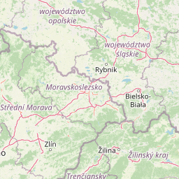
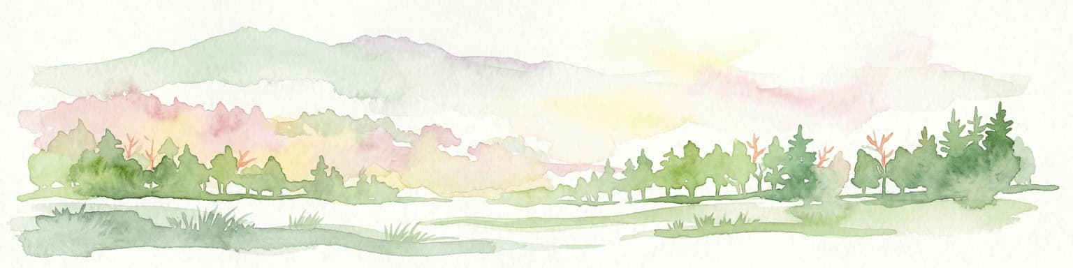
Why Veľká Fatra National Park stands out

Veľká Fatra is best known for its extensive old-growth Carpathian beech forests, which represent some of the most intact woodland in Central Europe. The park preserves a unique cultural landscape of ridge-top cattle pastures established during the Walachian colonisation of the 15th to 17th centuries, creating a mosaic of forest and grassland unique to the region. The geological diversity, with its contrast between the gentle ridgelines of Hôlna Fatra and the dramatic limestone peaks of Bralná Fatra, creates distinctive visual character. The area serves as one of the few places in Central Europe where populations of brown bear, grey wolf, and Eurasian lynx all thrive together.

Veľká Fatra National Park history and protected-area timeline

Veľká Fatra National Park has its origins in the establishment of the Protected Landscape Area Veľká Fatra in 1972, which provided initial conservation recognition to this Carpathian mountain range. On 1 April 2002, the area was upgraded to national park status, reflecting increased recognition of its ecological significance and the need for stronger protection. The protected area preserves evidence of human presence dating to the Walachian colonisation period, when pastoral communities established cattle pastures on ridge tops during the 15th to 17th centuries. These traditional grassland areas, maintained through grazing, create the distinctive forest-meadow mosaic that characterises the landscape today. The park's management is overseen by Správa NP Veľká Fatra, the national park administration responsible for conservation, visitor management, and research activities within the protected area.

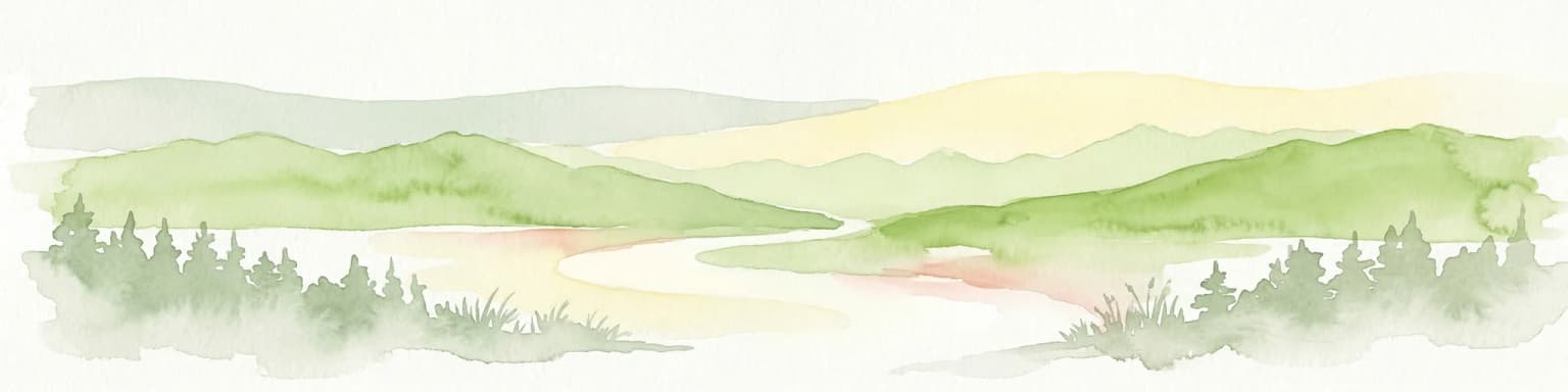
Veľká Fatra National Park landscape and geographic character

The terrain of Veľká Fatra presents remarkable geological and topographic diversity shaped by varying rock types across the range. The core of the mountains consists of granite, though this bedrock reaches the surface only in limited locations. More widespread are slate formations that create the gently modelled ridges and summits characteristic of the Hôlna Fatra section. In contrast, limestone and dolomite strata dominate the Bralná Fatra region, producing a rugged and picturesque landscape of sharp cliffs, rocky peaks, and steep valleys. The park contains numerous karst features, including caves and sinkholes, with the Harmanec Cave being the only show cave open to public visitation. The combination of rock types has produced diverse soils and terrain, from gentle upland meadows to dramatic cliff faces, creating the visual diversity that defines this mountain landscape.

Veľká Fatra National Park ecosystems, habitats, and plant life

The ecological character of Veľká Fatra is defined by its extensive Carpathian forests, with European beech dominating roughly 90% of the park's area. These forests represent some of the most intact and well-preserved beech ecosystems in Central Europe, supporting complex forest communities with significant biodiversity. Scattered throughout the forest matrix are relict Scots pine forests, representing remnants of older forest types that survived in specific microclimates. The Harmanec valley holds particular botanical significance as the location with the richest population of Irish yew in Central Europe, and possibly the entire continent. The high rainfall and low evaporation rates in the mountains contribute to the area's importance as a freshwater reservoir, with numerous streams feeding into broader watershed systems. The diversity of geological substrates, from granite through slate to limestone and dolomite, creates varied soil conditions that support different plant communities and contribute to the overall ecological richness.

Veľká Fatra National Park wildlife and species highlights

Veľká Fatra supports remarkable populations of Central Europe's large carnivores, with all three species present in healthy numbers throughout the park. Brown bears, grey wolves, and Eurasian lynx all thrive in this mountain environment, making the park one of the most significant carnivore conservation areas in Central Europe. The diverse habitat types, from dense forests to rocky outcrops and grassland areas, support this predator community and the prey species they depend upon. Beyond the large mammals, the varied ecosystems provide habitat for numerous other species, contributing to the park's overall biodiversity significance. The combination of forest, cliff, and grassland habitats creates the ecological complexity that supports this rich fauna, while the protected status ensures these species have space to maintain viable populations.

Veľká Fatra National Park conservation status and protection priorities

Veľká Fatra National Park represents a cornerstone of Slovak and Carpathian conservation, protecting one of the most significant remaining tracts of old-growth beech forest in Europe. The upgrade from protected landscape area to national park status in 2002 reflects recognition of the area's exceptional ecological values and the need for enhanced protection measures. The park contains numerous smaller protected areas, including national nature reserves such as Tlstá, Veľká Skalná, and Skalná Alpa, as well as nature reserves and national nature monuments that provide additional protection for specific features. The presence of all three Central European large carnivores demonstrates the ecological integrity of the area and its importance for biodiversity conservation at a regional scale. The watershed function of the mountains, providing freshwater resources, adds further conservation significance beyond biodiversity considerations.

Veľká Fatra National Park cultural meaning and human context

The cultural landscape of Veľká Fatra bears traces of human activity dating to the period of Walachian colonisation during the 15th to 17th centuries. Pastoral communities established cattle pastures on ridge tops throughout the mountains, creating the distinctive pattern of grasslands within the forest matrix that remains visible today. These traditional grazing areas, maintained over centuries, have developed into valuable semi-natural habitats that complement the forest ecosystems. The nearby village of Vlkolínec, recognised as a UNESCO World Heritage Site, preserves traditional wooden architecture representing the cultural heritage connected to this mountain region. While tourism infrastructure remains limited and concentrated outside the park boundaries, the area has long attracted hikers and outdoor enthusiasts who explore the mountain trails and experience this combination of natural and cultural heritage.

Top sights and standout views in Veľká Fatra National Park

The extensive Carpathian beech forests covering 90% of the area represent one of the last great forest wildernesses in Central Europe. The dramatic geological contrast between the limestone peaks of Bralná Fatra and the gentler slate ridges of Hôlna Fatra creates diverse scenic character. Harmanec Cave provides the only publicly accessible show cave within the park. The presence of all three large Central European carnivores, brown bear, grey wolf, and Eurasian lynx, marks this as a exceptional predator conservation area. The historic ridge-top pastures from the Walachian period create a cultural landscape mosaic unique to this region. The Harmanec valley hosts Europe's most significant Irish yew tree population.

Best time to visit Veľká Fatra National Park

The best time to experience Veľká Fatra depends on what visitors seek to encounter. Summer months offer excellent hiking conditions with fully accessible trails, wildflower displays in the meadow areas, and opportunities to observe wildlife in the warmer months. Autumn brings spectacular forest coloration as the beech trees change, creating particularly memorable scenery throughout the park. Winter transforms the landscape into a snowy mountain environment suitable for winter hiking and skiing in appropriate areas, though conditions can be challenging. Spring awakening brings renewed vegetation growth and bird activity, though trail conditions may still be affected by snowmelt. The park's high elevation means that weather conditions can change rapidly regardless of season, and visitors should be prepared for variable conditions.

Park location guide

Geography guide, regional context, and park location map for Veľká Fatra National Park

Veľká Fatra National Park park geography, regions, and map view in Slovakia
Understand where Veľká Fatra National Park sits in Slovakia through a broader geographic reading of the surrounding landscape, nearby location context, and its mapped position within the national park landscape.

How Veľká Fatra National Park fits into Slovakia

Slovakia is a landlocked Central European country with a population of over 5.4 million. It became independent from Czechoslovakia in 1993 and is a member of the European Union. The country features mountainous terrain, with the Carpathian Mountains running through its territory. Bratislava serves as the capital and largest city, while Košice is the second-largest city.

Wider geography shaping Veľká Fatra National Park in Slovakia

Slovakia is located in Central Europe, landlocked between Poland to the north, Ukraine to the east, Hungary to the south, Austria to the west, and the Czech Republic to the northwest. The territory is mostly mountainous, with the Carpathian Mountains, including the High Tatras, dominating the northern region. The Danube River forms part of the southern border with Hungary.

Map view of Veľká Fatra National Park

Use this park location map to pinpoint Veľká Fatra National Park in Slovakia, understand its exact geographic position, and read its mapped placement within the surrounding landscape more clearly.

Pigeon | © OpenStreetMap contributors

Location context for Veľká Fatra National Park

Banská Bystrica RegionŽilina Region
Park atlas

Explore the regional geography and connected protected landscapes surrounding Veľká Fatra National Park for comprehensive comparison.

Discover Other National Parks and Protected Areas Near Veľká Fatra National Park
Continue your exploration from Veľká Fatra National Park by browsing other national parks and protected areas across the surrounding Carpathian Mountains and Central European region. Compare their diverse landscapes, conservation focuses, and geographic spread to deepen your understanding of the region's protected wild spaces and natural heritage.
National park

Malá Fatra National Park National Park: Geographic Context and Protected Area Mapping

Explore the mapped terrain and regional geography.

Malá Fatra National Park serves as a cornerstone for understanding Slovakia's protected landscapes. This dedicated park page provides crucial geographic context, detailing its national park designation and the extent of its protected area boundaries. Users can leverage MoriAtlas to visualize the park's location within the broader regional geography, facilitating a structured approach to discovering its natural landscape and terrain through map-based exploration.

Area
226.3 km²
Established
1988
IUCN
II
Relief
Mountain
National park

Low Tatras National Park: Slovakia's Vast National Park and Carpathian Protected Landscape

Explore mapped terrain and regional geographic context.

The Low Tatras National Park represents Slovakia's largest protected area, encompassing the entirety of the Low Tatras mountain range. Its landscape is defined by dramatic altitudinal diversity, from alpine summits like Ďumbier to extensive forest zones and significant karst formations with notable cave systems. This page provides detailed geographic context and map-based discovery for the park's protected boundaries and its ecological significance within the Carpathian region.

Area
728 km²
Established
1978
IUCN
II
Relief
Mountain
Watercolor painting of mountain ranges, forests, and a winding river
National parkLesser Poland Voivodeship

Tatra National Park: Poland's Premier Alpine National Park and Protected Landscape

Explore dramatic glacial terrain, mountain lakes, and regional geography.

Tatra National Park is the definitive Alpine protected area in Poland, located in Lesser Poland Voivodeship. It showcases unique glacial landforms, including over 30 mountain lakes and dramatic peaks like Rysy. This national park serves as a crucial habitat for endemic species and offers unparalleled opportunities for atlas exploration of its rugged, mapped terrain. Understand its geographic significance as part of the Carpathian Mountains and its role as a protected landscape.

Area
211.64 km²
Established
1954
IUCN
II
Visitors
3.9M annual
National parkBanská Bystrica Region

Muránska planina National Park: Discover Slovakia's Karst Plateau and Protected Natural Landscape

Explore mapped boundaries, caves, and endemic flora in Banská Bystrica Region.

Muránska planina National Park represents a significant protected landscape in central Slovakia's Banská Bystrica Region, defined by its extensive karst topography. This national park encompasses a limestone and dolomite plateau rich with geological wonders, including over 150 caves, sinkholes, and karst springs. The unique contrast between the flat plateau surface and the sharp, rocky ravines showcases a dramatic natural terrain. Explore the park's mapped boundaries and its remarkable biodiversity, highlighted by 35 endemic species and rare Tertiary relict flora like Daphne arbuscula, making it a key destination for atlas-based geographic discovery.

Area
213.18 km²
Established
1997
IUCN
II
Relief
Mountain
Watercolor painting showing rolling green hills, forests, and distant mountains under a pale sky
National parkLesser Poland Voivodeship

Gorce National Park: Carpathian Forest Ecosystems and Mapped Terrain in Lesser Poland

Protected landscape discovery within the Western Beskids.

Delve into the protected landscape of Gorce National Park, a key national park situated in Poland's Lesser Poland Voivodeship. This atlas entry focuses on its mapped geography, highlighting the characteristic Carpathian mountain terrain, extensive old-growth forests, and unique alpine meadows. Understand the park's protected boundaries and its significance within the regional landscape context of the Western Beskids, providing a foundation for structured geographic exploration.

Area
70.3 km²
Established
1981
IUCN
II
Visitors
80K annual
Watercolor illustration of a winding river through rolling green hills with trees in the foreground
National parkKošice Region

Slovak Paradise National Park: Protected Area Mapping & Geographic Context in Košice Region

Explore the boundaries and terrain of this national park.

Investigate Slovak Paradise National Park, a designated national park situated within Slovakia's Košice Region. This detailed entry provides essential context for understanding its protected landscape features, mapped geographic distribution, and role within regional atlas exploration. Discover its unique terrain and boundaries to build a comprehensive view of Slovak conservation areas.

Area
197.63 km²
Established
1988
IUCN
II
Relief
Mountain
Watercolor illustration of a river flowing through a forested valley with rolling hills and scattered trees
National parkPrešov Region

Pieniny National Park: Slovakia's Distinctive Protected Landscape and Dunajec River Gorge

Explore mapped boundaries, regional geography, and protected karst terrain.

Pieniny National Park offers a focused exploration of dramatic limestone gorges and unique Carpathian mountain geography within Slovakia's Prešov Region. This national park is celebrated for the spectacular Dunajec River Gorge, a feature that defines its protected landscape and provides a profound example of natural terrain shaping. Understanding Pieniny National Park involves appreciating its specific mapped boundaries and its role as a significant protected area within the broader atlas of European natural wonders and conservation territories.

Area
37.5 km²
Established
1967
IUCN
II
Relief
Mountain
National parkKošice Region

Slovak Karst National Park: Premier Central European Karst Landscape and Cave Systems

Explore protected terrain and mapped underground wonders in Košice Region.

Slovak Karst National Park offers an unparalleled glimpse into a dynamic karst environment. As a designated national park and UNESCO Biosphere Reserve, it preserves a significant concentration of caves, dramatic limestone formations, and rugged canyons within its territory in southeastern Slovakia. This atlas-focused presentation highlights the park's distinctive geology, mapped landscape features, and its importance as a protected natural area within the broader geography of the Košice Region. Understand the park's surface topography and its world-renowned subterranean realms.

Area
346.11 km²
Established
2002
IUCN
II
Relief
Mountain

Common questions about visiting, size, designation, and location context for Veľká Fatra National Park

Veľká Fatra National Park FAQs for park facts, access, geography, and protected area context
Find quick answers about Veľká Fatra National Park, including protected-area facts, park geography, trail and visitor context, and how the park fits into its surrounding country and regional landscape.
MoriAtlas Explorer

Continue Your Protected Areas Search Across the Global Atlas

Deepen your exploration by continuing the structured search for national parks and protected areas worldwide. Utilize the comprehensive filtering capabilities to compare different conservation landscapes and refine your understanding of global park geography. Discover more about the distribution and characteristics of protected natural areas.

Global natural geography