Mori Atlas logo
Protected areaParc Natural Comunal de les Valls del Comapedrosa

Discover the dramatic Pyrenean terrain and mapped boundaries of Andorra's highest mountain park.

Parc Natural Comunal de les Valls del Comapedrosa: Andorra's Premier Protected Alpine Landscape and Highest Peak

Parc Natural Comunal de les Valls del Comapedrosa represents the highest altitude protected area within the Principality of Andorra, an essential entry in any Pyrenean atlas. This protected landscape, centered on Coma Pedrosa at 2,942 meters, showcases dramatic alpine terrain, steep valleys, and rugged peaks characteristic of the central Pyrenees. As a Category IV protected area, it safeguards the nation's summit and its surrounding pristine ecosystems, offering a unique geographic focus for understanding Andorra's high-mountain natural heritage.

alpine landscapesmountain parksPyreneesAndorra natural parkshigh-altitude protected areashiking destinations
Illustration of a mountain landscape featuring a waterfall, river, pine trees, and snow-capped peaks

Parc Natural Comunal de les Valls del Comapedrosa

Protected area

Park overview

Structured park overview, official facts, and landscape profile for Parc Natural Comunal de les Valls del Comapedrosa

Parc Natural Comunal de les Valls del Comapedrosa park facts, protected area profile, and essential visitor context
Review the core facts for Parc Natural Comunal de les Valls del Comapedrosa, including designation, size, terrain, visitor scale, habitats, and operating context in one park-focused overview.

About Parc Natural Comunal de les Valls del Comapedrosa

Parc Natural Comunal de les Valls del Comapedrosa serves as Andorra's premier mountain protected area, preserving a significant portion of the principality's Alpine landscape. The park is located in the western part of the country, in the parish of La Massana, and is easily accessible from nearby towns including Erts and Arinsal. Coma Pedrosa, the central geographic feature of the park, rises to 2,942 meters and forms part of the larger Pyrenean mountain system that runs along the border between Andorra and its neighboring countries. The protected area was formally established in 2003, making it a relatively recent addition to Andorra's environmental protection framework. As a Category IV protected area under the IUCN classification system, the park focuses on maintaining viable populations of native species and preserving the habitats that support them. The management of the park is handled by local authorities, with the park maintaining an official website for visitor information. The relatively small size of the protected area, at just over 15 square kilometers, reflects the limited land area of Andorra itself while still encompassing the most significant high-elevation terrain in the country.

Quick facts and research context for Parc Natural Comunal de les Valls del Comapedrosa

The park is situated in the parish of La Massana in western Andorra, with the nearest settlements being the towns of Erts and Arinsal. It was established in 2003 as Andorra's principal protected mountain area, designated under IUCN Category IV for habitat and species management. The protected area spans 15.43 square kilometers and includes Coma Pedrosa, the highest summit in Andorra, along with several adjacent peaks that form part of the Comapedrosa massif. The park features a well-maintained public hiking trail suitable for visitors with moderate fitness levels.

Park context

Deeper park guide and search-rich context for Parc Natural Comunal de les Valls del Comapedrosa

Parc Natural Comunal de les Valls del Comapedrosa history, landscape, wildlife, and travel context
Explore Parc Natural Comunal de les Valls del Comapedrosa through its history, landscape character, ecosystems, wildlife, conservation priorities, cultural context, and seasonal travel timing in a structured park guide built for atlas discovery and search intent.

Why Parc Natural Comunal de les Valls del Comapedrosa stands out

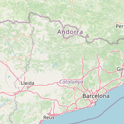
Parc Natural Comunal de les Valls del Comapedrosa is best known for protecting Coma Pedrosa, the tallest mountain in Andorra and a prominent Pyrenean peak. The park represents the highest-altitude protected landscape in the country and contains some of the most rugged and scenic alpine terrain in the Pyrenees. Its significance stems from the combination of Andorra's only significant protected high-mountain area, the presence of the nation's summit, and the relatively pristine alpine ecosystems found within its boundaries.

Wide view of mountain valleys with forested slopes under a clear blue sky, featuring distant peaks and scattered clouds
Panoramic mountain valley view in Parc Natural Comunal de les Valls del Comapedrosa, Andorra

Parc Natural Comunal de les Valls del Comapedrosa history and protected-area timeline

The Parc Natural Comunal de les Valls del Comapedrosa was established in 2003, representing Andorra's commitment to preserving its natural mountain heritage. The creation of this protected area reflected growing recognition of the ecological and scenic value of Andorra's high-altitude landscapes, particularly the Comapedrosa massif which contains the nation's highest summits. The park was designated under the IUCN Category IV protected area classification, which focuses on habitat and species management areas. At the time of establishment, Andorra was developing its environmental protection policies and the creation of this park marked an important milestone in the country's approach to conservation. The park remains under active development, with ongoing efforts to enhance visitor facilities and management programs. The decision to protect this particular area was influenced by its outstanding natural values, including the presence of Coma Pedrosa and the representative Pyrenean alpine ecosystems found within the park boundaries.

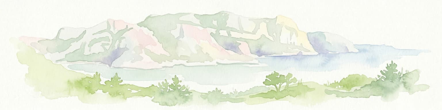
Parc Natural Comunal de les Valls del Comapedrosa landscape and geographic character

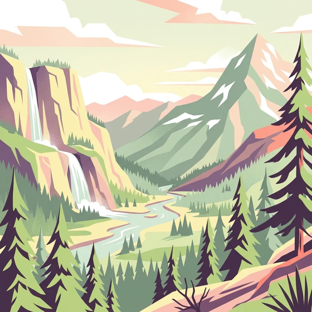
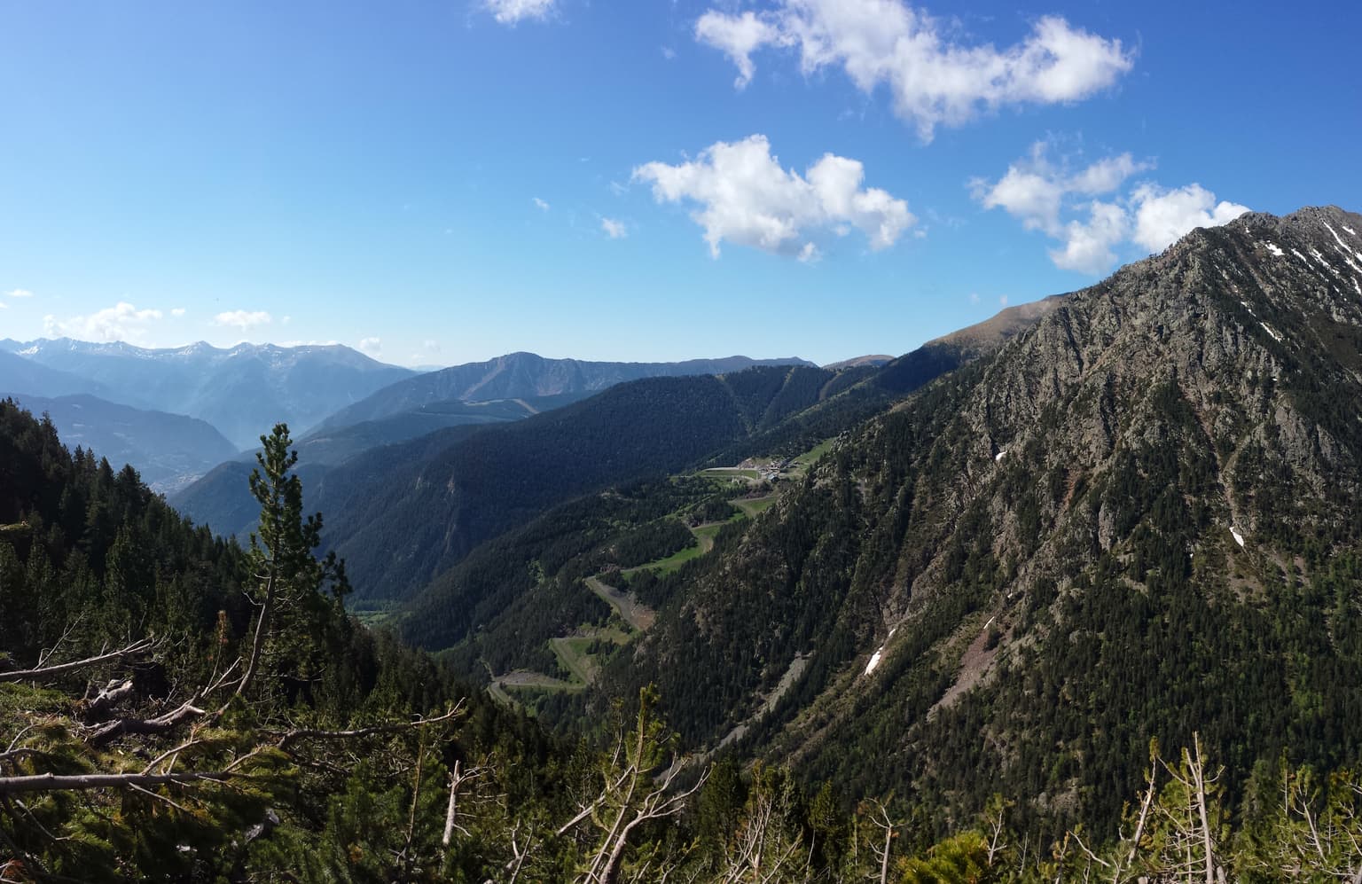
The landscape of Parc Natural Comunal de les Valls del Comapedrosa is characterized by dramatic alpine terrain typical of the central Pyrenees. The park encompasses the Comapedrosa massif, a group of peaks that includes Andorra's highest mountain and creates a landscape of steep ridges, deep valleys, and rocky summit areas. The terrain rises sharply from the valley floors to the craggy peaks, with elevation changes that reflect the park's high-mountain character. The valleys within the park channel water drainage and create the distinctive V-shaped profiles common in glaciated mountain environments. Rocky outcrops and cliff faces punctuate the terrain, while the higher elevations feature the bare rock and limited vegetation typical of subalpine and alpine zones. The overall impression is one of rugged mountain wilderness, relatively untouched by extensive human development, which distinguishes this area within the context of Andorra's predominantly mountainous terrain.

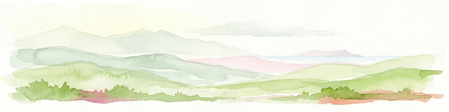
Parc Natural Comunal de les Valls del Comapedrosa ecosystems, habitats, and plant life

The park protects representative Pyrenean alpine ecosystems that include the characteristic vegetation zones found at high elevations in this mountain range. The lower slopes support forest vegetation typical of the Pyrenean montane zone, while the higher elevations transition through subalpine vegetation before reaching the alpine zone where vegetation is limited to hardy species adapted to harsh conditions. The protected area encompasses habitats that are significant for maintaining biodiversity in the Pyrenean region, particularly those associated with high-altitude environments that are naturally limited in extent. As a Category IV protected area, the park's management approach emphasizes maintaining the ecological processes and species populations that characterize these mountain habitats.

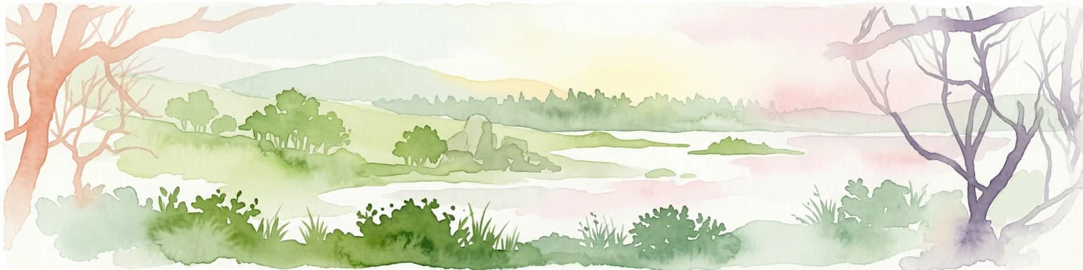
Parc Natural Comunal de les Valls del Comapedrosa wildlife and species highlights

The park provides habitat for species adapted to high-altitude Pyrenean environments. The alpine and subalpine zones within the protected area support wildlife populations typical of the Pyrenean mountain ecosystem, including species that are adapted to the harsh conditions found at elevation. The varied terrain, ranging from rocky peaks to vegetated slopes, creates diverse habitat conditions that support different species communities. While specific species information is limited in available sources, the protected area serves as an important habitat preserve within the Pyrenean corridor that connects wildlife populations across the border regions of Andorra, France, and Spain.

Parc Natural Comunal de les Valls del Comapedrosa conservation status and protection priorities

Parc Natural Comunal de les Valls del Comapedrosa represents Andorra's primary tool for protecting high-altitude mountain ecosystems within its borders. The park's IUCN Category IV designation indicates a management focus on maintaining viable populations of native species and preserving the habitat conditions that support them. The protection of Coma Pedrosa and its surrounding environment is significant given that this area contains the highest and most rugged terrain in Andorra, representing ecosystems that are not replicated elsewhere in the small principality. The park contributes to the broader Pyrenean ecological network by preserving a protected area within this important mountain range that spans multiple countries. The establishment of the park in 2003 reflected Andorra's participation in broader European conservation frameworks and recognition of the importance of preserving representative examples of the continent's mountain landscapes.

Parc Natural Comunal de les Valls del Comapedrosa cultural meaning and human context

The park exists within the context of Andorra, a small parliamentary democracy in the Pyrenees known for its mountain heritage and distinctive cultural identity shaped by its high-altitude environment. The local communities in the surrounding area, including Erts and Arinsal, have historical connections to the mountain landscape that the park now protects. The Andorran Pyrenees have been inhabited for centuries, and the relationship between local populations and the mountainous terrain has shaped regional identity. The park's Catalan-language name reflects the local linguistic heritage of Andorra, where Catalan is the official language. The protection of this mountain area represents a continuation of the relationship between Andorra's people and their mountainous homeland, now formalized through environmental protection.

Top sights and standout views in Parc Natural Comunal de les Valls del Comapedrosa

The park's defining features include the protection of Coma Pedrosa, Andorra's highest peak at 2,942 meters, along with the surrounding alpine landscape of the Comapedrosa massif. The area offers a well-established public hiking trail that provides access to the park's mountain scenery, with a moderate route that can be completed in approximately four hours. The park represents the most significant high-altitude protected area in Andorra and contains the country's most dramatic mountain terrain. As the only substantial protected mountain area in the principality, the park serves as the primary location for experiencing Andorra's alpine wilderness.

Best time to visit Parc Natural Comunal de les Valls del Comapedrosa

The optimal period for visiting the park corresponds to the warmer months when the hiking trail is fully accessible and mountain conditions are favorable. Summer and early autumn typically offer the most suitable conditions for exploring the park's trails, with temperatures in the mountains during these seasons allowing for comfortable hiking. The high-altitude setting means that weather conditions can change rapidly, and visitors should be prepared for variable mountain weather regardless of the season. The park's alpine character means that winter conditions involve significant snow and cold temperatures that would not be suitable for typical hiking activities.

Park location guide

Geography guide, regional context, and park location map for Parc Natural Comunal de les Valls del Comapedrosa

Parc Natural Comunal de les Valls del Comapedrosa park geography, regions, and map view in Andorra
Understand where Parc Natural Comunal de les Valls del Comapedrosa sits in Andorra through a broader geographic reading of the surrounding landscape, nearby location context, and its mapped position within the national park landscape.

How Parc Natural Comunal de les Valls del Comapedrosa fits into Andorra

Andorra is a small landlocked country in the eastern Pyrenees mountains between France and Spain. Founded in 1278 under a charter linking it to the Diocese of Urgell, it operates as a co-principality with two co-princes: the Bishop of Urgell in Spain and the President of France. With a population of around 89,000 and an area of roughly 468 km², it is one of Europe's smallest nations. Catalan is the official language, though Spanish, Portuguese, and French are widely spoken. The economy relies heavily on tourism and duty-free shopping.

Wider geography shaping Parc Natural Comunal de les Valls del Comapedrosa in Andorra

Andorra is situated in the eastern Pyrenees mountains, occupying a valley environment surrounded by peaks and ridges. It is entirely landlocked, bordered by France to the north and Spain to the south. The terrain is predominantly mountainous with valleys and gorges. The country sits at high elevation, with its capital Andorra la Vella at approximately 1,023 meters above sea level, making it the highest capital city in Europe. The Pyrenees form a natural barrier and define the country's mountainous character.

Map view of Parc Natural Comunal de les Valls del Comapedrosa

Use this park location map to pinpoint Parc Natural Comunal de les Valls del Comapedrosa in Andorra, understand its exact geographic position, and read its mapped placement within the surrounding landscape more clearly.

Pigeon | © OpenStreetMap contributors

Visual exploration of Andorra's highest protected area, showcasing rugged Pyrenean terrain and vital high-altitude habitats.

Parc Natural Comunal de les Valls del Comapedrosa Photos, Landscapes, and Alpine Scenery
Browse a curated collection of Parc Natural Comunal de les Valls del Comapedrosa photos to visually comprehend its dramatic alpine landscapes, steep valleys, and high-mountain ecosystems. These images provide essential context for appreciating Andorra's highest protected area, revealing its rugged Pyrenean scenery and vital conservation role.

Wide view of mountain valleys with forested slopes under a clear blue sky, featuring distant peaks and scattered clouds

Park atlas

Explore other Pyrenean protected areas and compare similar alpine landscapes.

Compare Nearby Protected Areas and Parks Beyond Parc Natural Comunal de les Valls del Comapedrosa
Browse other protected areas and mountain parks near Parc Natural Comunal de les Valls del Comapedrosa, exploring similar alpine landscapes across Andorra and the Pyrenean region. Comparing these high-altitude conservation zones offers insight into the regional spread of protected ecosystems and their distinct features within this mountainous European geography.
National parkProvince of Lleida

Aigüestortes i Estany de Sant Maurici National Park: Pyrenean High Mountain National Park Landscape

Explore glacial lakes and winding waterways in Catalonia.

Aigüestortes i Estany de Sant Maurici National Park is a premier national park in the Pyrenees, celebrated for its extensive network of almost 200 glacial lakes and the dramatic natural beauty of the Sant Maurici lake. Its landscape is defined by high mountain terrain, characterized by U-shaped valleys, sharp ridges, and unique hydrological features like the Aigüestortes plain's meandering streams. This protected area in the Province of Lleida offers a rich setting for understanding alpine environments and Pyrenean geography through detailed mapping and atlas exploration.

Area
141 km²
Established
1955
IUCN
II
Visitors
525K annual
Watercolor painting showing a mountain range with a winding river through a valley
National park

Ordesa y Monte Perdido National Park: Glacial Terrain and Pyrenean Protected Landscape

Explore its dramatic valleys, cliffs, and alpine geography.

Ordesa y Monte Perdido National Park is a critical protected area within the Pyrenean geography, defined by its spectacular glacial valleys, towering limestone massifs, and unique karst formations. As a National Park and UNESCO World Heritage Site, it offers a rich environment for exploring mapped terrain and understanding the interplay of geology and high-alpine ecosystems. Delve into the mapped boundaries and distinct landscape features that characterize this significant protected landscape.

Area
156.08 km²
Established
1918
IUCN
II
Relief
Mountain
National parkHautes-Pyrénées

Pyrénées National Park: Protected Landscape & Transboundary Protected Area Atlas

Discover Hautes-Pyrénées' dramatic glacial terrain and alpine environments.

Pyrénées National Park is a significant protected area in France's Hautes-Pyrénées department, renowned for its dramatic glacial cirques, high-altitude lakes, and extensive mountain landscapes. Established as a national park, it offers rich geographic context for atlas exploration, showcasing millions of years of geological formation shaped by tectonic uplift and glacial carving. This park is also notable for its transboundary conservation efforts with Spain, contributing to a broader protected region. Explore its unique terrain, from towering limestone formations to alpine meadows, and understand its place within the Pyrenean mountain range.

Area
458 km²
Established
1967
IUCN
II
Relief
Mountain
Watercolor illustration of green fields, a river, and mountains under a soft pink and yellow sky
National parkOccitanie

Cévennes National Park: Explore its Mapped Terrain and Protected Landscape in Occitanie

Discover the unique geographic context and park boundaries.

Cévennes National Park, situated in Occitanie, France, offers a rich exploration of mid-mountain Mediterranean geography. As a protected landscape, its mapped terrain features dramatic limestone plateaus, deep river gorges, and distinct granite massifs. This entry provides essential geographic context for Cévennes National Park, highlighting its unique natural features and its significance as a protected area within the broader regional atlas.

Area
937 km²
Established
1970
IUCN
V
Visitors
800K annual
National parkBouches-du-Rhône

Calanques National Park: Mediterranean Limestone Cliffs and Marine Protected Area

France's First Peri-Urban National Park

Calanques National Park, situated in the Bouches-du-Rhône department, represents a significant protected landscape where dramatic limestone geology meets the Mediterranean Sea. This atlas-focused entry details the park's iconic calanques, its combined terrestrial and marine protected zones, and its rich prehistoric cultural significance. Understand its unique geographic setting and its importance as a conservation area accessible for map-based discovery and regional landscape context.

Area
520 km²
Established
2012
IUCN
II
Relief
Mountain
Watercolor painting of a landscape with trees, hills, and a body of water
National park

Port-Cros National Park: French Mediterranean Island National Park & Marine Sanctuary

Discover mapped protected land and unique Mediterranean ecosystems.

Port-Cros National Park offers a glimpse into a pioneering model of integrated terrestrial and marine conservation within the Mediterranean. This park protects a distinctive island geography marked by rugged terrain, endemic species, and vital underwater habitats, including crucial posidonia meadows and rich marine life. Through MoriAtlas, explore the mapped boundaries and ecological significance of Port-Cros, understanding its role as a vital protected landscape in the European atlas.

Area
46 km²
Established
1963
IUCN
II
Visitors
1M annual
National park

Écrins National Park: Alpine Glaciated Terrain and Protected Landscape Details

Mapped boundaries and regional geography of a major French National Park.

Delve into Écrins National Park, a defining national park within the French Alps. This page provides a comprehensive overview of its protected landscape, focusing on its dramatic glaciated terrain, significant peaks such as the Barre des Écrins, and its position within the regional geographic context. Explore the mapped extent and understand the unique alpine environment of this protected area.

Area
925 km²
Established
1973
IUCN
II
Watercolor illustration of a mountainous landscape featuring a river, rolling hills, and green vegetation
National park

Mercantour National Park: Mapped Alpine Protected Landscape and Regional Geography

Explore France's dramatic Alps, park boundaries, and unique ecotones.

Mercantour National Park stands as a premier protected area within the French Alps, distinguished by its remarkable geographic diversity and ecological significance. This national park encompasses mountainous terrain featuring dramatic peaks, deep glacial valleys, and a unique ecotone where Mediterranean and Alpine ecosystems converge. MoriAtlas facilitates a detailed atlas-style exploration of Mercantour National Park, highlighting its mapped protected boundaries, varied natural landscapes, and its pivotal role in regional geography and conservation efforts.

Area
679 km²
Established
1979
IUCN
II
Visitors
800K annual

Common questions about visiting, size, designation, and location context for Parc Natural Comunal de les Valls del Comapedrosa

Parc Natural Comunal de les Valls del Comapedrosa FAQs for park facts, access, geography, and protected area context
Find quick answers about Parc Natural Comunal de les Valls del Comapedrosa, including protected-area facts, park geography, trail and visitor context, and how the park fits into its surrounding country and regional landscape.
MoriAtlas Explorer

Continue Your Protected Areas Search Across the Global Atlas

Deepen your exploration by continuing the structured search for national parks and protected areas worldwide. Utilize the comprehensive filtering capabilities to compare different conservation landscapes and refine your understanding of global park geography. Discover more about the distribution and characteristics of protected natural areas.

Global natural geography