
Why Écrins National Park stands out
Écrins National Park is best known for its dramatic high-altitude alpine scenery, with the Barre des Écrins dominating the landscape at 4,102 meters. The park protects extensive glacier systems, including the Glacier Blanc, one of the largest in the massif, and the glacial lakes such as Lac Lauvitel, the deepest and largest in the park. Its wilderness character and the challenge of its peaks attract alpinists, while over 700 kilometers of maintained trails serve hikers. The park is also distinguished by its successful ibex reintroduction program, which has established three populations totaling approximately 600 individuals. The reserve Integrale de Lauvitel, created in 1995, was France's first integral nature reserve.
Écrins National Park history and protected-area timeline
The protection history of Écrins National Park traces to December 31, 1913, when the French state purchased approximately 4,000 hectares of mountain terrain on the heights of Saint-Christophe-en-Oisans, creating the Parc de la Bérarde. Modeled after the Swiss Engadine reserve established four years earlier, this early protected area aimed to defend the mountain environment against the encroachment of pastures, which had caused erosion, deforestation, and torrent instability. However, the First World War interrupted the process of establishing official national park status, and the project was suspended.
Despite this interruption, the Administration des Eaux et Forêts continued to manage the acquired lands, maintaining them in a state of natural evolution without regulatory framework. The reserve changed names several times during the interwar period, being unofficially called "Parc national de l'Oisans" and then, in 1923, "Parc national du Pelvoux" when it was expanded to 13,000 hectares. In 1962, the area lost its "national park" qualification and became a domanial forest, a state-owned forest subject to forestry regulations.
The creation of France's national park framework in 1960 eventually enabled the park's restoration. Following the establishment of Vanoise (1963), Port-Cros (1963), Pyrénées (1967), and Cévennes (1970) national parks, a creation mission was formed in 1970 based on the former Parc de la Bérarde. Écrins National Park was finally created by decree on March 27, 1973. The first park agents were recruited through competitive examination beginning in 1974, and the park established its welcome center at Vallouise in 1976. The park's headquarters moved to the Charance estate near Gap in 1991, where it remains today.
Major milestones include the successful reintroduction of 16 Alpine ibex in 1989 from Vanoise and Vercors populations, the creation of France's first integral nature reserve at Lauvitel in 1995, and expansion of the core zone by 705 hectares in late 2019 through incorporation of two existing national nature reserves. The park achieved IUCN Green List certification in 2019, recognizing effective management and governance standards.
Écrins National Park landscape and geographic character
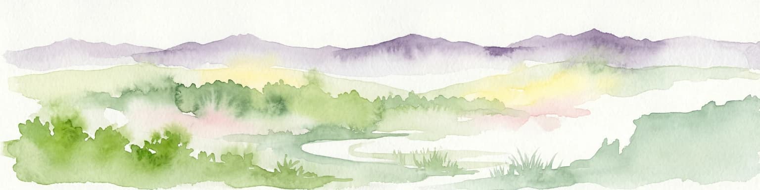
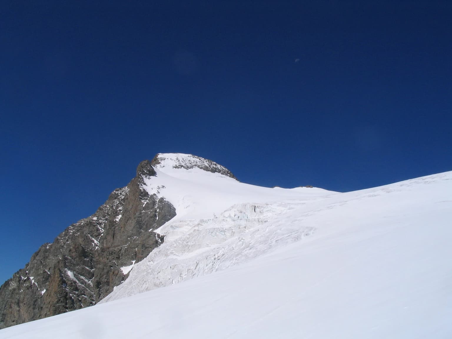
The landscape of Écrins National Park exemplifies classic Alpine glaciated terrain, with dramatic relief shaped by Pleistocene ice sheets and ongoing glacial processes. The park encompasses the entire Massif des Écrins, bounded by the major valleys of the Drac, Romanche, and Durance rivers and their tributaries. The terrain rises from approximately 800 meters in the lower valleys to 4,102 meters at the Barre des Écrins, the highest peak in the Dauphiné Alps and the park's namesake summit.
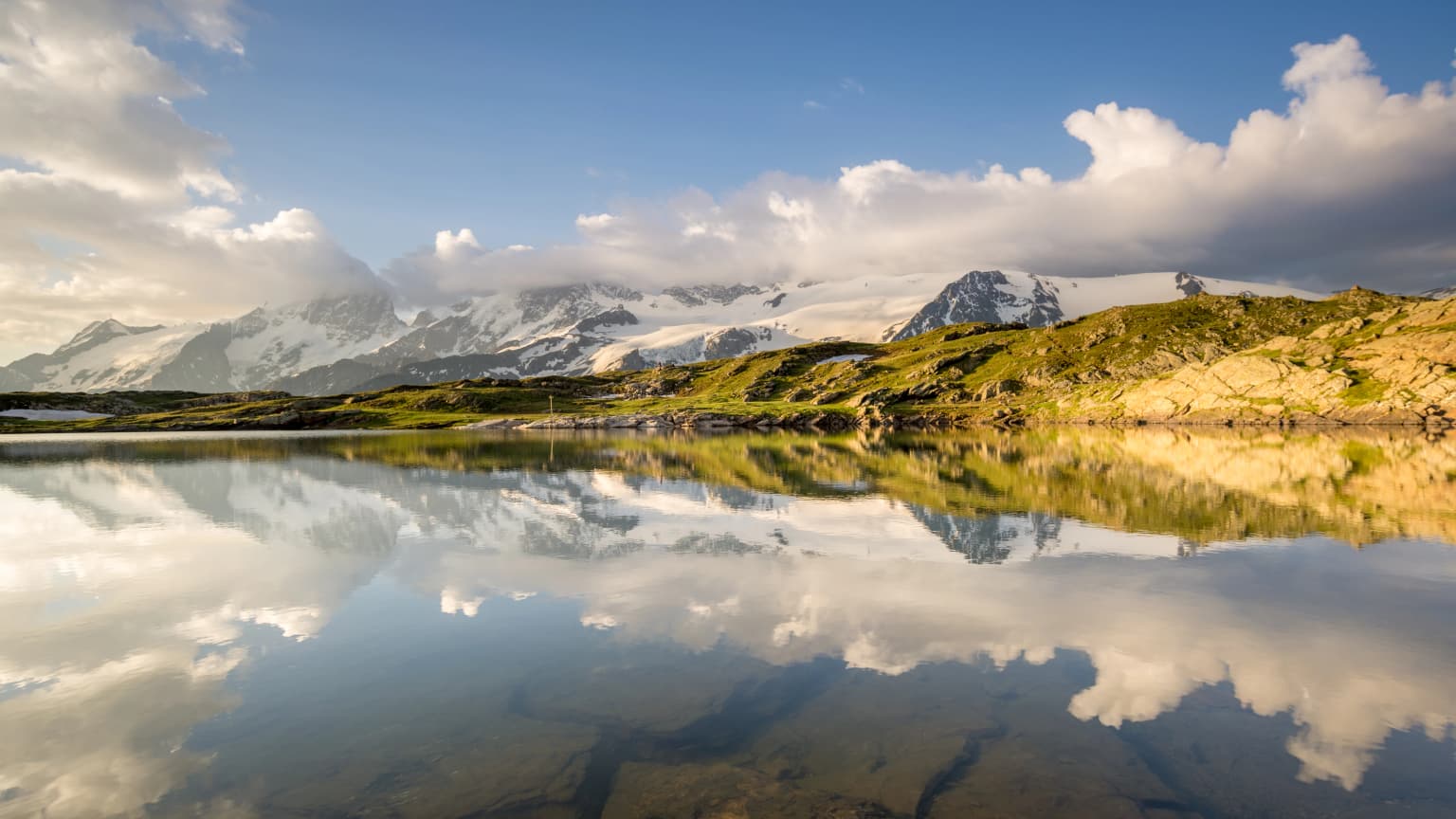
The park contains approximately 100 summits exceeding 3,000 meters, including the iconic La Meije rising to 3,983 meters above the village of La Grave, and Mont Pelvoux at 3,946 meters. Around 40 glaciers cover approximately 17,000 hectares, representing one of the most heavily glaciated areas of the French Alps. The Glacier Blanc, the largest in the massif, has been subject to detailed scientific monitoring and cartographic study, while the Glacier de la Pilatte maintains the longest observational record dating to 1920.
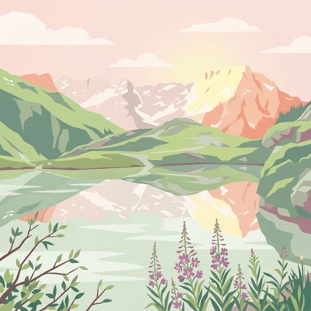
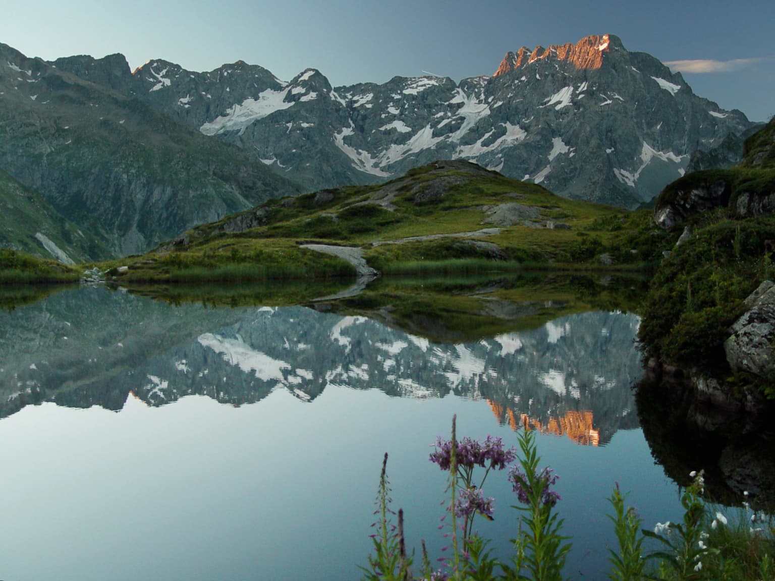
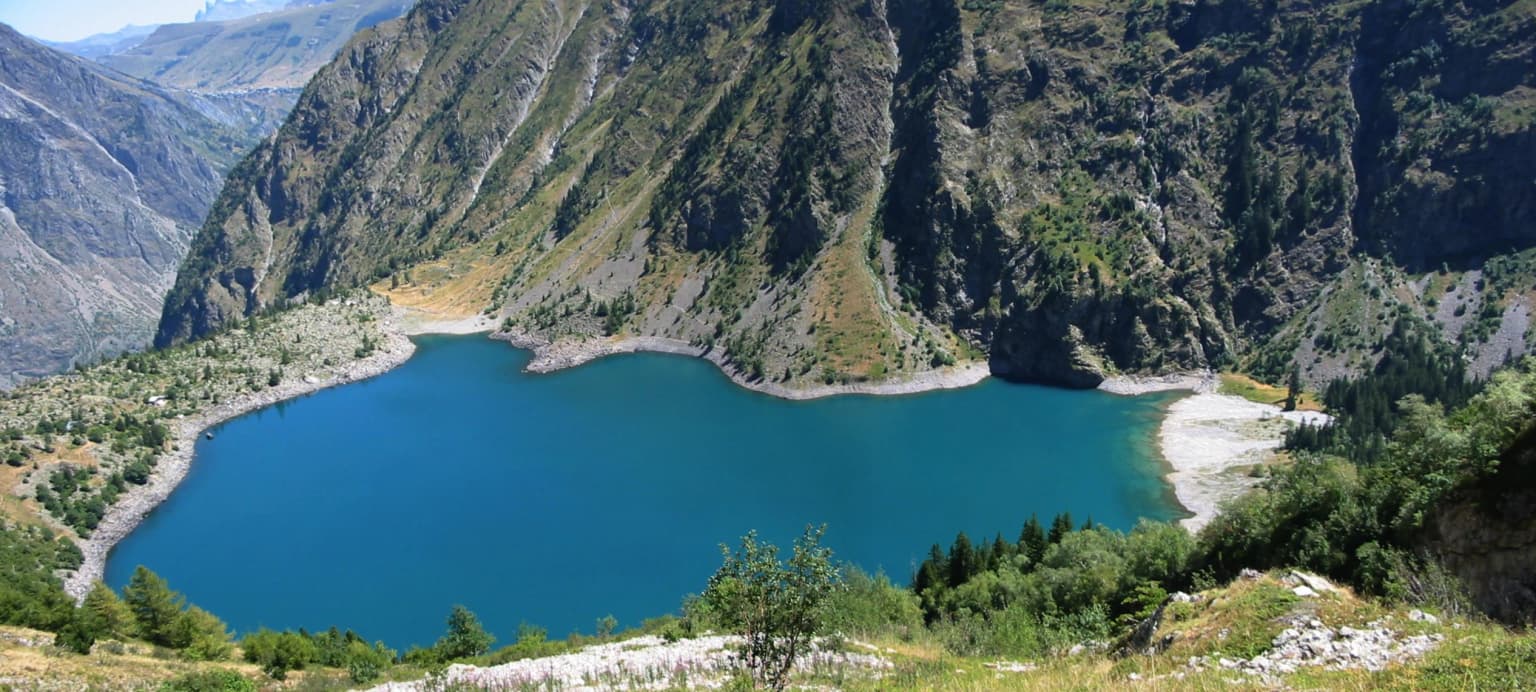
Beyond the glaciers, the park contains numerous spectacular glacial lakes, including Lac Lauvitel, the largest and deepest in the park at 25 to 35 hectares surface area and 40 to 65 meters depth. The lake sits at the foot of the Aiguille de Vénosc near the Les Deux Alpes ski resort. Other significant water bodies include Lac du Lauzon, Lac de la Muzelle, Lac du Pavé (the highest and coldest in the park at 2,820 meters elevation), and the Lac du Combeynot. Many high-altitude lakes remain frozen for most of the year, including lakes of the Eychauda, Les Rouies, and Glacier d'Arsine.
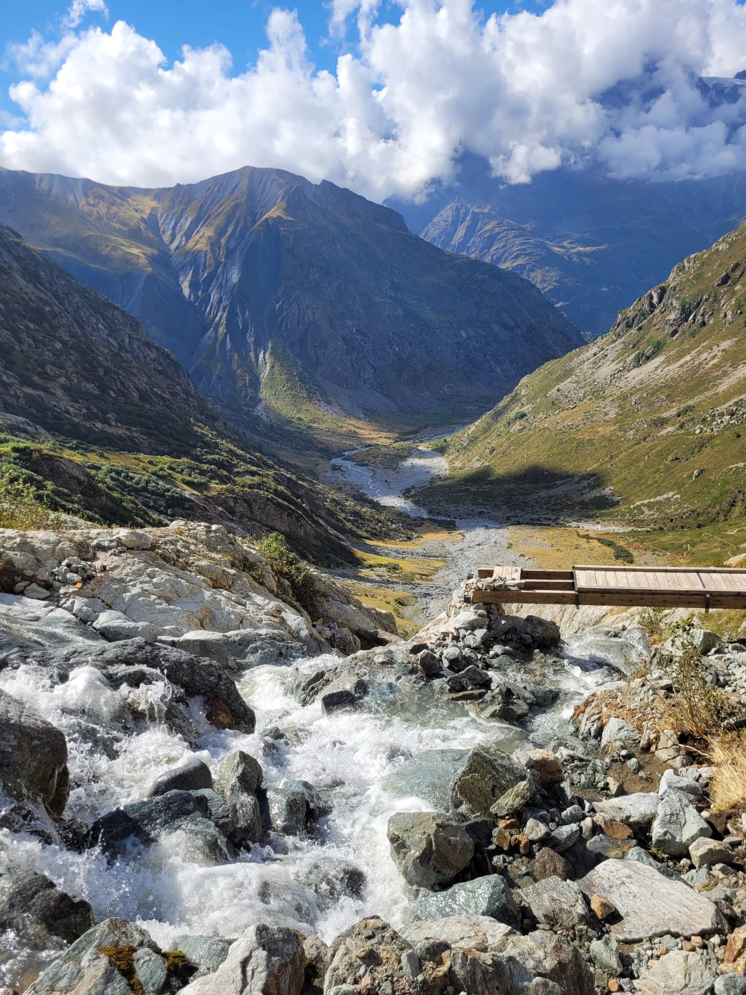
The terrain supports extensive alpine and subalpine environments, from rocky peaks and glacier fields through alpine meadows to subalpine woodland zones of pine and larch. The park's hydrographic network is complex, with waters ultimately draining to either the Atlantic via the Drac and Isère or to the Mediterranean via the Durance, depending on which side of the continental divide they fall.
Écrins National Park ecosystems, habitats, and plant life
The ecological character of Écrins National Park reflects its position along the boundary between the Northern and Southern Alps and the transition from continental to Mediterranean-influenced climates. More than 4,149 species of plants and animals have been recorded within the park, distributed across diverse habitats ranging from glacial forelands and rock habitats through alpine grasslands, subalpine forests, and valley meadows.
The park's vegetation follows clear altitudinal zonation. Subalpine woodlands feature extensive larch and pine forests on slopes, while alpine grasslands and pastures occur at higher elevations. The park supports remarkable botanical diversity, including over 2,000 plant species. Iconic species include the blue alpine thistle (Eryngium alpinum), lady's slipper orchid (Cypripedium calceolus), edelweiss (Leontopodium alpinum), and genepi (Artemisia spp.). The saxifrage Saxifraga oppositifolia has been recorded at 4,070 meters elevation, making it the highest-growing plant in France and demonstrating the remarkable adaptability of Alpine flora.
Recent botanical discoveries continue to expand knowledge of the park's flora. In 2021, three new androsace species were discovered at extreme altitudes: Androsace delphinensis at 3,758 meters, Androsace saussurei at 3,500 meters, and Androsace vesulensis at 3,841 meters. A new primrose species, Primula vallis-gaudemarica, was described in 2025 as endemic to the Écrins massif. These discoveries illustrate that even well-studied protected areas continue to yield new scientific knowledge.
The park's position at the watershed divide influences its ecological character, with different slopes supporting communities influenced by either Atlantic or Mediterranean climate regimes. This ecological complexity, combined with the variety of geological substrates, contributes to the park's high biodiversity.
Écrins National Park wildlife and species highlights
Écrins National Park supports a rich vertebrate fauna of more than 350 species, with additional invertebrate diversity still being documented. The park's large mammals include approximately 12,000 chamois and around 600 Alpine ibex distributed across three populations. The ibex, successfully reintroduced beginning in 1989 from stock originally from Venoise and Vercors, has become an emblematic species of the park's conservation success. Other mammals include Alpine marmots, variable hares, ermines, red squirrels, red foxes, and various bat species including murins.
The park also supports significant populations of large predators, including grey wolves and Eurasian lynx, both of which have recolonized parts of the Alps in recent decades. These species are monitored through specialized programs coordinated with national carnivore monitoring networks.
The avifauna is particularly notable, with the golden eagle (Aquila chrysaetos) representing a flagship predator with approximately 40 breeding pairs recorded in the park. The park protects priority bird species including the rock ptarmigan (Lagopus muta), black grouse (Tetrao tetrix), bearded vulture (Gypaetus barbatus), peregrine falcon (Falco peregrinus), and Tengmalm's and Eurasian pygmy owls. The red-breasted wallcreeper (Tichodrome echelette) and Alpine accentor (Prunella collaris) represent characteristic high-altitude species.
Invertebrates include the striking Rosalia alpina longhorn beetle, while reptiles include the asp viper (Vipera aspis). The combination of diverse habitats, from cliff and rock environments through meadows and forests to wetlands and lakes, supports this rich faunal community.
Écrins National Park conservation status and protection priorities
Écrins National Park represents one of France's most significant protected areas, designated as IUCN Category II and recognized with the European Diploma of Protected Areas. The park's conservation significance stems from its role in protecting extensive high-altitude ecosystems, glacial environments, and the species they support. The 2019 inclusion of the park on the IUCN Green List recognizes management effectiveness and governance meeting international standards.
The park employs a zonation system distinguishing core protected areas (coeur) with strict regulatory protection from the adhesion area where measures are co-developed with local stakeholders. The 2006 national park reform, which formalized this two-zone structure, was implemented in Écrins through a new charter approved by the Council of State in December 2012, with 46 communes signing by 2013 and the total reaching 53 by 2015.
The reserve integrale de Lauvitel, established in 1995 as France's first integral nature reserve, represents the strictest protection level within the park, with no human intervention allowed. This designation, which received IUCN recognition in 2012, provides reference ecosystems for scientific study and serves as a benchmark for understanding natural processes in Alpine environments.
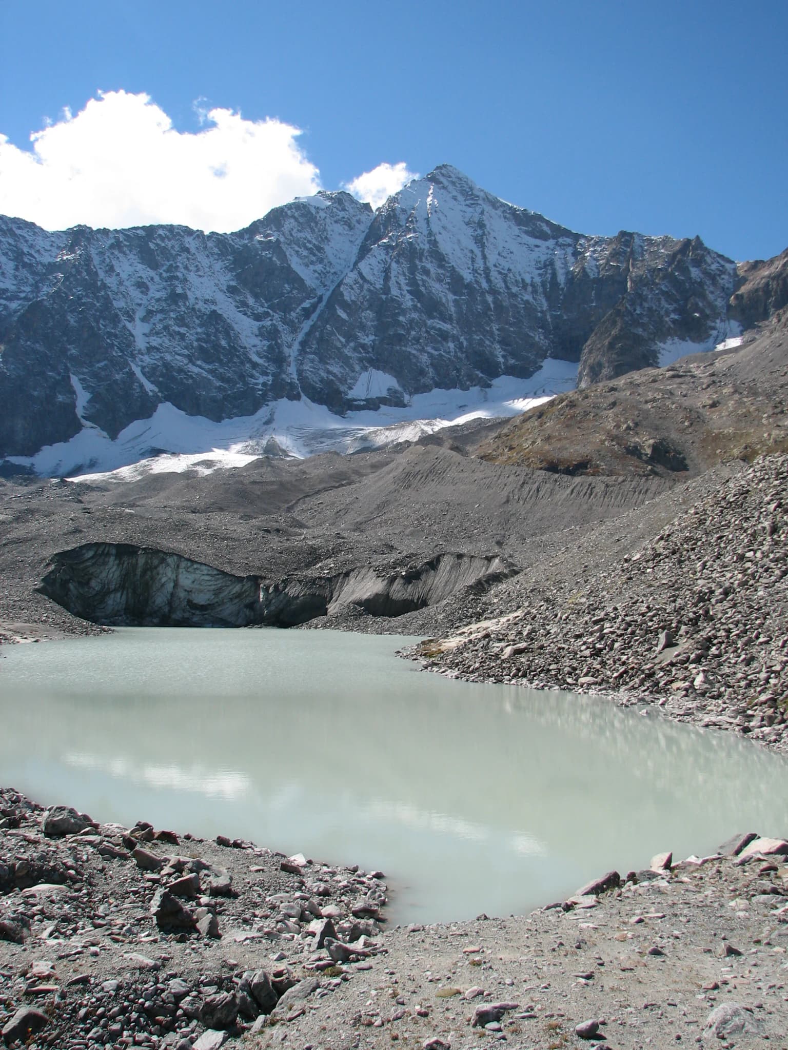
Climate change poses significant conservation challenges. The park has documented substantial glacier retreat, with the glacial surface decreasing from 100 square kilometers in 1986 to 84 square kilometers in 2009 and further declining to approximately 7,000 hectares by 2019—half the surface area at the park's creation in 1973. This retreat affects water resources, species distributions, and landscape character. The park participates in systematic monitoring of these changes through programs including glacier monitoring, the "Alpages Sentinelles" program studying climate impacts on Alpine pastures, and participation in the Alpine Zone Atelier research network.
Écrins National Park cultural meaning and human context
The cultural landscape of Écrins National Park reflects centuries of agropastoral activity by mountain communities. The park encompasses 53 communes whose residents have shaped the landscape through seasonal grazing practices, hay production, and traditional land management. These practices have maintained open grasslands and meadows that now constitute important biodiversity habitats, creating a cultural-ecological landscape where natural and cultural values are intertwined.
The park's territory includes historic alpine villages and hamlets such as La Bérarde, Vallouise, and numerous others whose architecture and cultural practices reflect the Alpine heritage of the region. The Maison du Parc in Vallouise, established in 1976, serves as both a visitor center and symbol of the park's connection to local communities.
The park's management recognizes the importance of maintaining traditional agricultural practices, with numerous alpine pasture (alpage) management contracts established with local shepherds. The "Alpages Sentinelles" program, initiated after the severe droughts of 2003 and 2005, specifically addresses the intersection of climate change and pastoral practices, bringing together scientists, pastoralists, and park managers to monitor and adapt to changing conditions.
Top sights and standout views in Écrins National Park
Écrins National Park offers exceptional alpine wilderness with dramatic glaciated peaks, including the 4,102-meter Barre des Écrins, over 40 glaciers, and spectacular glacial lakes such as Lac Lauvitel. The park maintains over 700 kilometers of marked trails, including the famous GR 54 circuit that circles the entire massif. Successful ibex conservation demonstrates effective species protection, while the 1995 creation of France's first integral nature reserve at Lauvitel established a model for strict wilderness protection. The park's scientific monitoring programs, particularly glacier observation dating to 1920 and the Biodiv'Écrins biodiversity atlas launched in 2016, provide long-term data on environmental change. The 2019 IUCN Green List certification recognizes the park's management excellence.
Best time to visit Écrins National Park
The summer months from June through September offer the most accessible conditions for exploring Écrins National Park, with the highest number of trails open and favorable weather for hiking and climbing. July and August provide the warmest conditions, though night-time temperatures remain cool at altitude and snow can occur above 2,500-3,000 meters even in summer. The park's high-altitude climate remains harsh year-round, with winter temperatures at 4,000 meters potentially dropping to -45 degrees Celsius. Spring and autumn transitions offer fewer facilities and more variable conditions. The dramatic landscape character changes substantially with seasons—autumn often brings stable weather and colorful larch forests, while winter transforms the terrain into a wilderness ski touring destination for experienced alpinists.