
Mori Atlas logo
National parkMercantour National Park

Discover mapped boundaries, unique ecotones, and prehistoric heritage within this French National Park.

Mercantour National Park: A Protected Alpine Landscape on the French Map

(Parc national du Mercantour)

Mercantour National Park represents a significant protected landscape in the heart of the French Alps, recognized for its dramatic mountainous terrain and unique ecological transition zone. Situated across Alpes-Maritimes and Alpes-de-Haute-Provence, this national park offers a compelling geographic context where Mediterranean influences meet Alpine environments. MoriAtlas provides detailed insights into its mapped park boundaries, diverse natural terrain, and the region's rich prehistoric heritage, enabling a structured discovery of its wild character.

National ParkAlpsMountain ConservationRock ArtBronze Age HeritageTransboundary Park
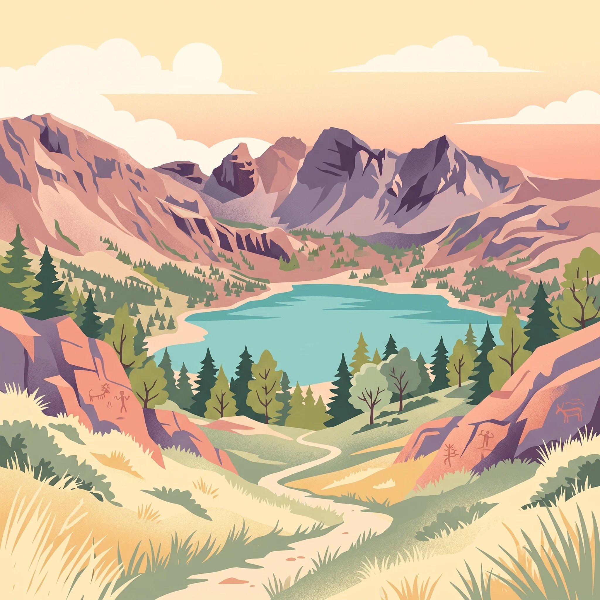
Stylized illustration of a mountain lake surrounded by forests and rocky cliffs under a sunburst sky

Mercantour National Park

National park

Park overview

Structured park overview, official facts, and landscape profile for Mercantour National Park

Mercantour National Park park facts, protected area profile, and essential visitor context

Review the core facts for Mercantour National Park, including designation, size, terrain, visitor scale, habitats, and operating context in one park-focused overview.

About Mercantour National Park

Mercantour National Park represents one of France's most ecologically diverse protected areas, where the stark contrast between Alpine grandeur and Mediterranean warmth creates a landscape of exceptional variety. The park's territory spans the Mercantour-Argentera mountain massif, a geological boundary where crystalline rocks of the central Alps meet sedimentary formations, creating diverse terrain from rugged peaks to deep valley gorges. This geographic complexity supports an extraordinary range of habitats within a relatively compact area, from holm oak and olive groves in the lower valleys through subalpine larch forests to Alpine meadows and bare rock zones above 2,500 meters. The park's establishment in 1979 followed decades of protection efforts beginning with a royal hunting reserve designated by King Victor-Emmanuel II in 1859. Today, the park serves as a critical habitat for species that have recolonized the Alps naturally, most notably the Italian wolf, which crossed from the Abruzzo region in the early 1990s. The collaboration with Italy's Parco naturale delle Alpi Marittime has enabled coordinated transboundary conservation, with both parks working together on biodiversity inventory and species management since the late 1980s.

Quick facts and research context for Mercantour National Park

Mercantour National Park occupies a strategic position in the Maritime Alps, straddling two French departments with 28 peripheral villages within its protective boundary. The central zone remains uninhabited, preserving seven major valleys: Roya, Bévéra, Vésubie, Tinée, Haut Var, Cians, Verdon, and Ubaye. The highest point is Cime du Gélas at 3,143 meters, one of the tallest peaks in the Maritime Alps. The park shares a 33-kilometer border with Italy's Parco naturale delle Alpi Marittime, with which it maintains a transboundary management agreement. A distinctive feature is the presence of about 40,000 Bronze Age petroglyphs in the Vallée des Merveilles, one of the most significant prehistoric rock art sites in Europe.

Protection and recognition

Documenting terrestrial conservation boundaries and transboundary management across alpine borders

Mercantour National Park Protection Status and Designation Details

Researchers and conservationists can verify the official terrestrial designation status and transboundary framework of Mercantour National Park. Verified data from the World Database on Protected Areas clarifies the terrestrial governance and transboundary coordination of the park.

Protection details

Protection scope
Terrestrial
Transboundary protection
Yes
WDPA ID
664
Park context

Deeper park guide and search-rich context for Mercantour National Park

Mercantour National Park history, landscape, wildlife, and travel context

Explore Mercantour National Park through its history, landscape character, ecosystems, wildlife, conservation priorities, cultural context, and seasonal travel timing in a structured park guide built for atlas discovery and search intent.

Why Mercantour National Park stands out

Mercantour is best known for the Vallée des Merveilles, or Valley of Marvels, which contains one of Europe's most important collections of Bronze Age petroglyphs with approximately 37,000 to 40,000 prehistoric engravings on rock faces near Mont Bégo. The park is also famous for its remarkable ecological transition zone, where Mediterranean vegetation reaches up into Alpine environments creating unusual biodiversity patterns. The presence of wolves, which naturally returned from Italy in 1992 after disappearing from France decades earlier, has made Mercantour a focal point for wildlife conservation discussions. Lake Allos, the largest high-altitude natural lake in Europe, offers another distinctive attraction within the park's boundaries.
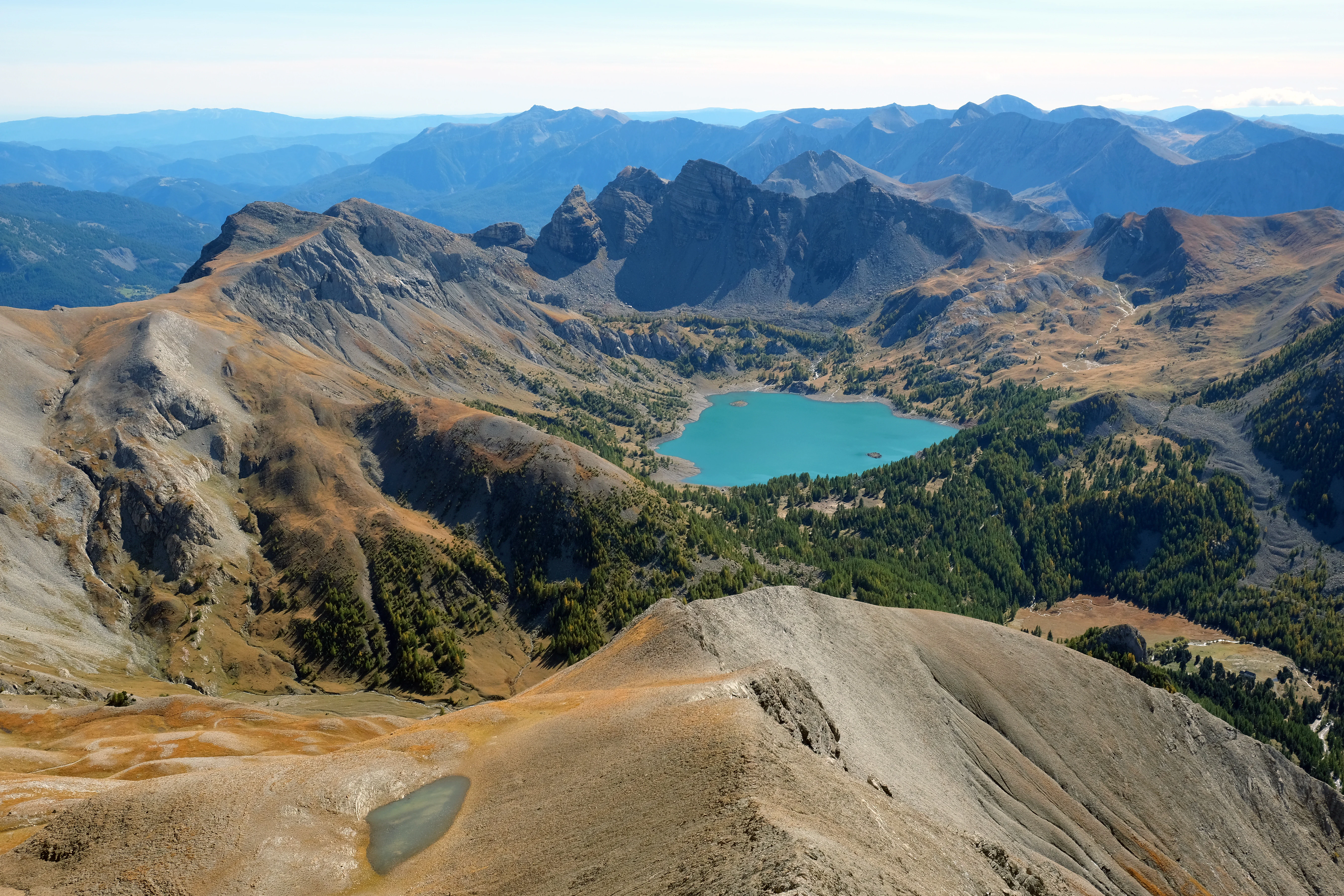
Panoramic view of Lake Allos surrounded by mountain peaks from Mont Pelat summit
Lake Allos viewed from Mont Pelat summit in Mercantour National Park

Mercantour National Park history and protected-area timeline

The Mercantour area has a long history of protection beginning in 1859 when King Victor-Emmanuel II of Sardinia designated the central territories as a royal hunting reserve, making this one of Europe's oldest protected mountain areas. Following the transfer of the territory to France after Italian unification, the area received further protective status as a hunting reserve in 1946 and was designated as a nature reserve in 1953. The Société Nationale d'Acclimatation de France also established the Lauzanier nature reserve in 1936, which was later incorporated into the national park upon its creation. Mercantour National Park was officially established on August 18, 1979, under the direction of Jacques Florent, becoming France's eighth national park. In 1987, the park established a twinning relationship with the Italian Parco naturale delle Alpi Marittime, facilitating cross-border cooperation. The wolf naturally returned to the park in 1992, marking a significant ecological milestone. A new decree modified the park's founding legislation in 2009, and the park charter was approved in 2012. In 2013, the park and its Italian partner were inscribed on UNESCO's tentative world heritage list. The same year, a joint management entity was created, forming the European Park of Alpi Marittime-Mercantour to advance transboundary conservation cooperation.

Mercantour National Park landscape and geographic character

The Mercantour landscape is defined by dramatic Alpine topography with peaks exceeding 3,000 meters, deep glacial valleys, and the unusual ecological contrast created by Mediterranean influence. The park encompasses portions of the Mercantour-Argentera massif, one of the highest mountain groups in the French Alps, where crystalline rocks form the core of the landscape. Cime du Gélas, at 3,143 meters, stands as the third-highest peak in the Maritime Alps. The valleys display classic glacial morphology with U-shaped cross sections, hanging valleys, and moraine deposits. The landscape includes several significant lakes, with Lake Allos being the most prominent—a large glacial lake at 2,200 meters elevation that ranks as Europe's largest high-altitude natural lake. The park features striking color contrasts, from the grey and pinkgranite peaks to the green of larch forests and the white calcareous cliffs. Many villages perch on sunny slopes above the valley floors, their stone buildings and churches reflecting traditional Alpine-Mediterranean architecture.
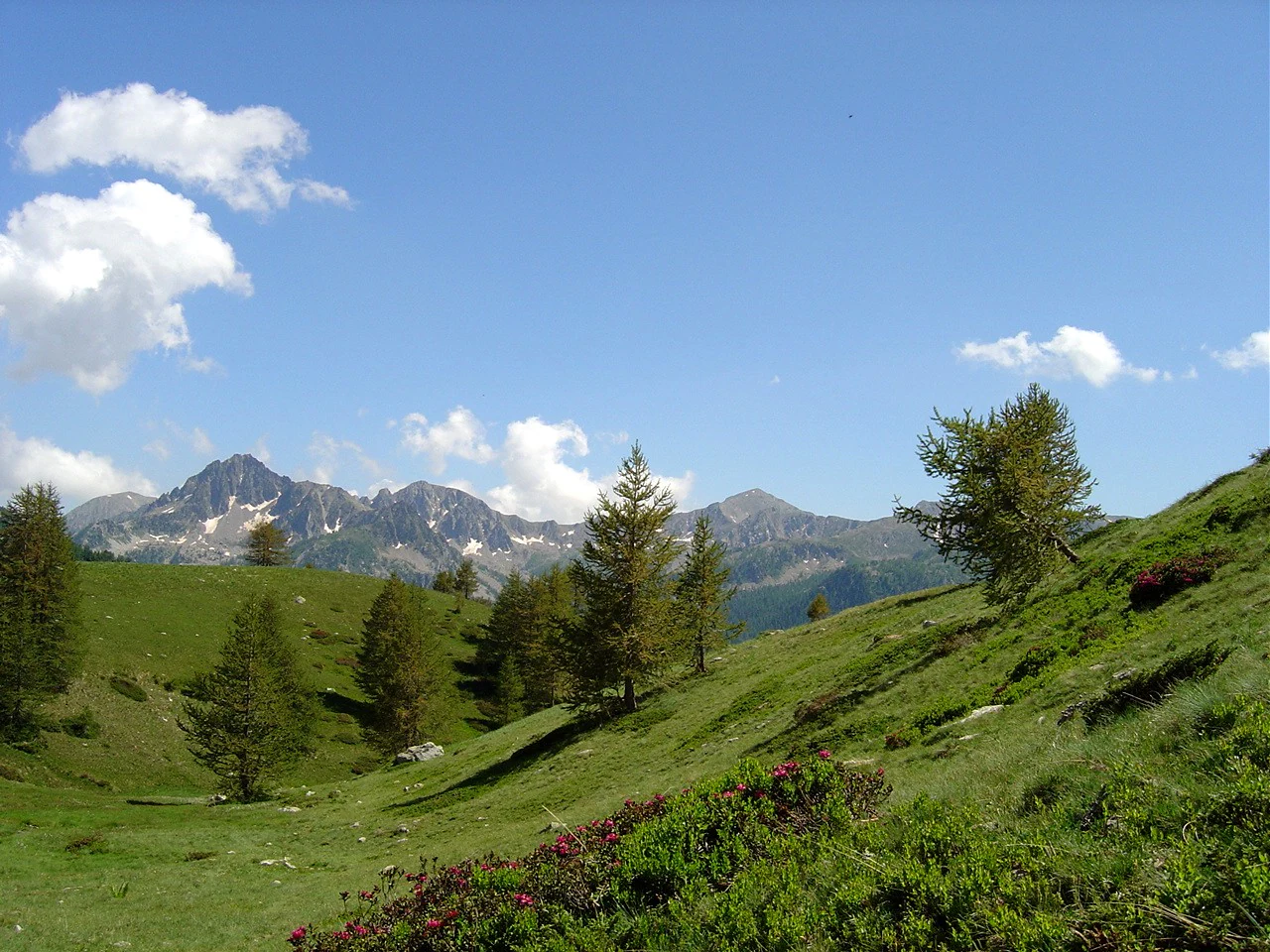
Grassy valley with scattered trees, mountain peaks in the background under a blue sky with clouds.
Vallon de Mollières valley in Mercantour National Park, France.

Mercantour National Park ecosystems, habitats, and plant life

The ecological diversity of Mercantour stems from its position at the crossroads of multiple biogeographic regions and its dramatic altitudinal range. The park hosts more than 2,300 plant species, with over 100 endemics, making it one of France's biodiversity hotspots. This exceptional diversity results from several factors: the meeting point of Spanish, Provençal, and Balkan biogeographic zones; varied geology supporting both silicole and calcicole species; strong altitudinal and climatic gradients; and the role of the massif as a glacial refugium. The vegetation follows clear altitudinal zoning, with Mediterranean species like holm oak and downy oak in lower elevations, transitioning through pine forests and subalpine larch stands to alpine meadows and bare rock at highest elevations. A notable endemic species is the Saxifraga florulenta, found only in the Mercantour. The park's All Taxa Biodiversity Inventory program, begun in 2007 in partnership with the Italian park, aims to document all species present—an unprecedented initiative in European protected areas that had documented over 8,000 species by recent counts.
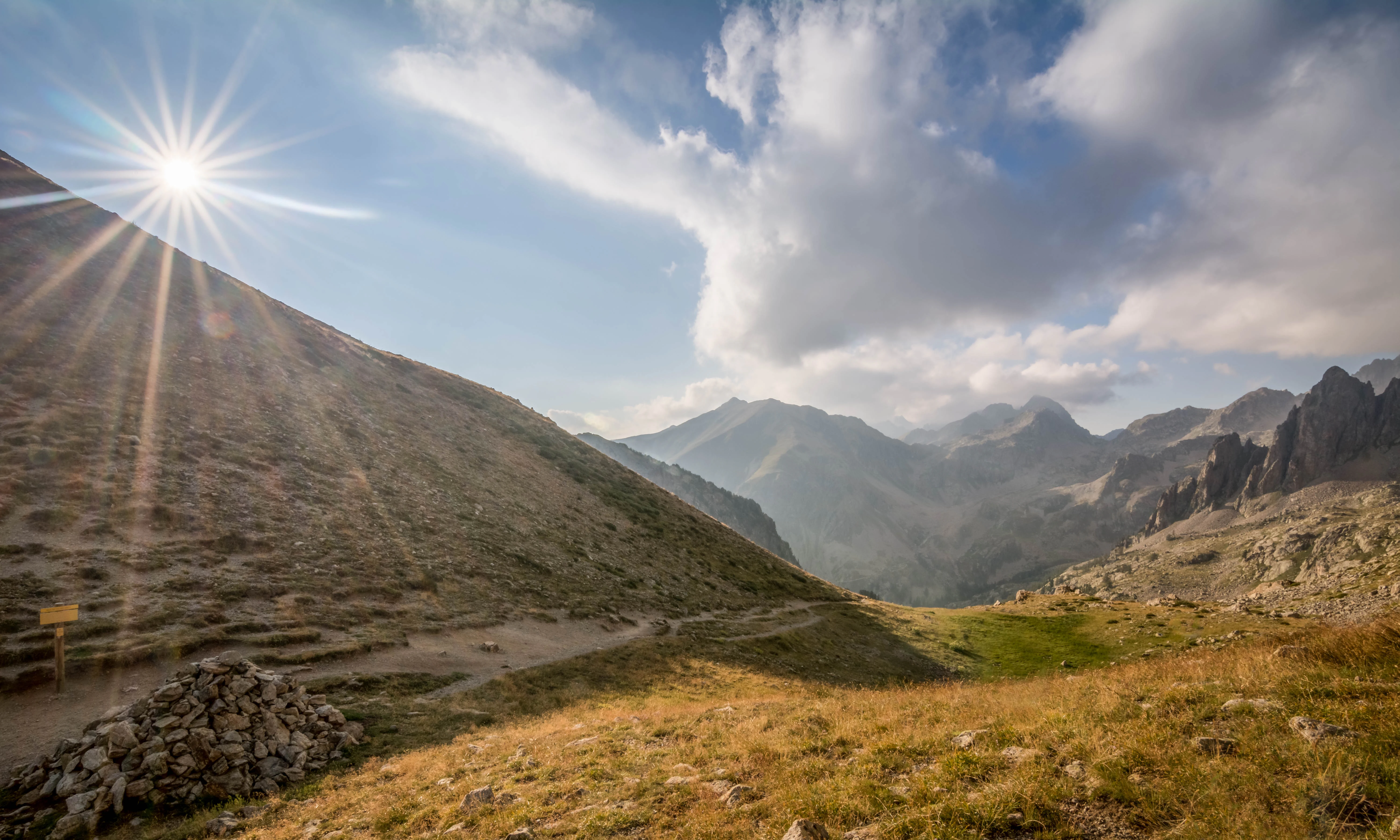
Sunrise over a mountain valley with rocky slopes and distant peaks under a partly cloudy sky
Sunrise over the Baisse des Cinq Lacs valley in Mercantour National Park

Mercantour National Park wildlife and species highlights

Mercantour supports substantial wildlife populations across its diverse habitats, with several species of particular conservation significance. The chamois population numbers several thousand individuals, making them commonly visible to hikers in the park's rocky terrain. Alpine ibex, which were reintroduced, along with mouflon inhabit the higher elevations. Red deer and roe deer populate the forested valleys while wild boar and hares are widespread. The park's birdlife is notably diverse, with 153 recorded species including golden eagles, bearded vultures reintroduced since 1993, Tengmalm's owls, and Black grouse. The return of wolves from Italy beginning in 1992 represents a landmark event, with an estimated 30-50 individuals present in the park and surrounding areas by 2010. The wolves have subsequently spread to other Alpine massifs and even the Pyrenees. A Wolves Centre at Saint-Martin-Vésubie provides educational programming about this keystone species. Marmots are common throughout the park, their whistling calls a familiar sound to hikers.
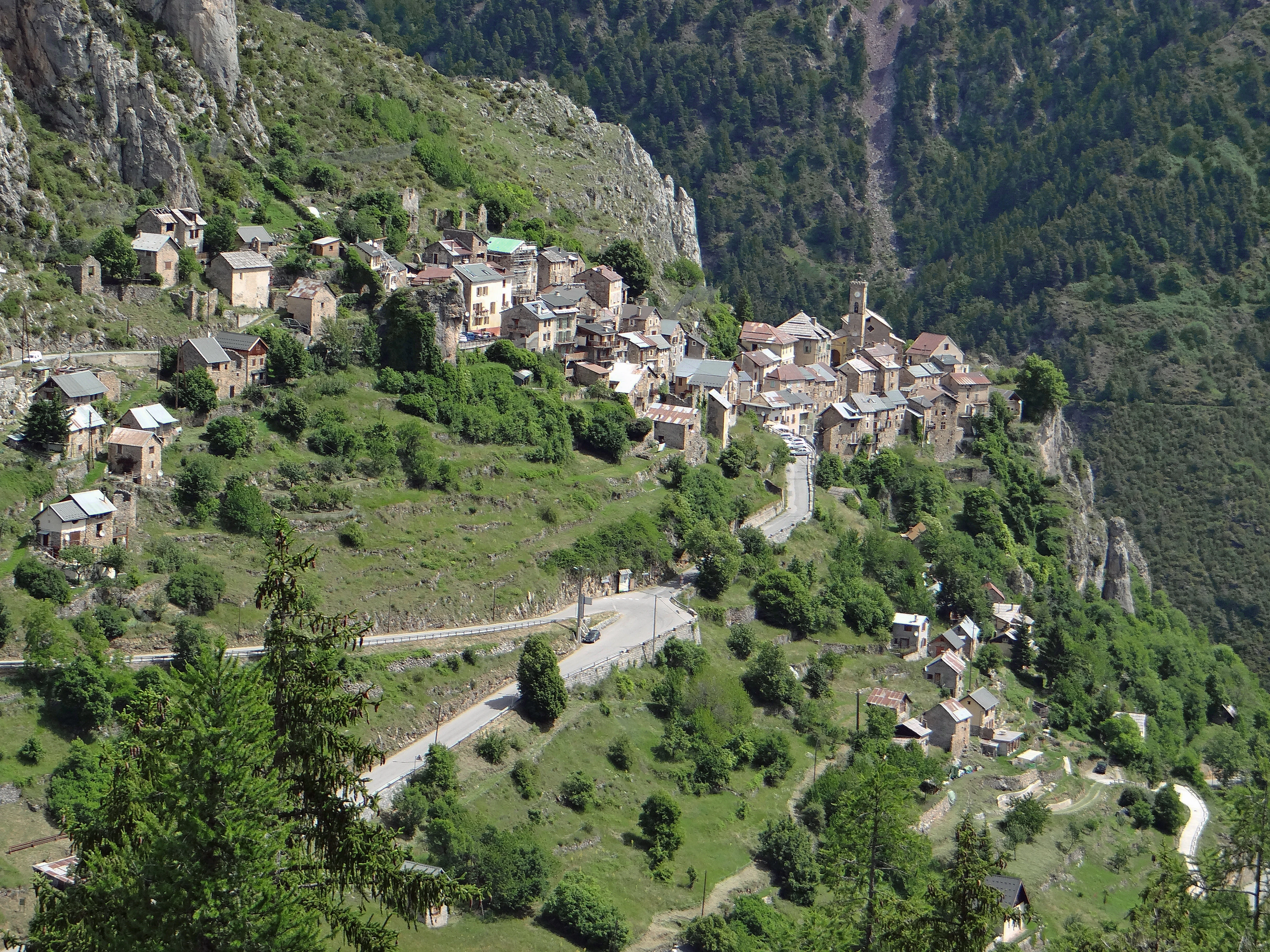
A village with stone houses on a hillside surrounded by green mountains and a winding road
View of Roubion village nestled in the Mercantour National Park mountains

Mercantour National Park conservation status and protection priorities

Mercantour National Park serves multiple conservation functions within the French and European protected area network. The core zone holds IUCN Category II status while the peripheral adhesion area is classified as Category V, reflecting the integration of human communities within the broader protected landscape. The park's biodiversity significance is underscored by its inclusion in the Natura 2000 network. The transboundary partnership with Italy's Parco naturale delle Alpi Marittime enables coordinated management of species that move freely across the border, with ibex summering in the French park after wintering in Italian territory. The wolf population has required active management to address human-wildlife conflict, with support programs for livestock protection through fencing and guardian dogs. The park has also documented lingering effects of Chernobyl radiation contamination in certain areas, particularly around the Bonette-Restefond pass. The joint biodiversity inventory initiative with the Italian park represents one of the most ambitious biological surveys in European protected areas, aiming to create a comprehensive species catalog for the transboundary region.

Mercantour National Park cultural meaning and human context

The Mercantour region has been inhabited for millennia, with human presence evidenced by the extensive Bronze Age petroglyphs in the Vallée des Merveilles. These carved images depicting weapons, cattle, and human figures represent a remarkable prehistoric cultural archive. Many villages within the park's periphery are classified as rural heritage sites, with traditional stone buildings and churches featuring murals and altar pieces by Niçois painters. The Brigasque sheep breed represents a traditional local animal genetic resource now considered threatened. Transhumant pastoralism remains practiced, with approximately 85,000 sheep and 670 cattle grazing within the park boundaries during summer months, primarily arriving from Provence and Italy. Military heritage from the 18th and 19th centuries and World War II remains visible throughout the park, particularly around the Authion massif and upper Tinée valley, with ongoing efforts to clear remaining wartime debris. The park lies within the Provence-Alpes-Côte d'Azur region, where the proximity to the French Riviera creates a distinctive cultural and economic context.
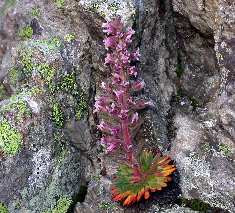
Pink flowering plant with green and orange leaves growing on rocky surface
Close-up of Saxifraga florulenta plant with pink flowers and colorful leaves growing on rocky terrain

Top sights and standout views in Mercantour National Park

Mercantour National Park offers an exceptional combination of prehistoric archaeology, Alpine wilderness, and ecological diversity within striking distance of the Mediterranean coast. The Vallée des Merveilles stands as a unique cultural landmark where thousands of Bronze Age petroglyphs create one of Europe's most significant open-air rock art sites. The presence of wolves naturally returning from Italy has established the park as a center for large carnivore conservation in Western Europe. The transboundary collaboration with Italy's Alpi Marittime park demonstrates modern approaches to managing shared ecosystems. With over 2,000 flowering plant species including numerous endemics, exceptional birdlife featuring the reintroduced bearded vulture, and the iconic chamois and ibex populations, the park represents a living museum of Alpine biodiversity. The dramatic contrast between Mediterranean and Alpine environments occurs within a remarkably compact area, offering visitors diverse landscapes from lake-strewn plateaus to craggy peaks.
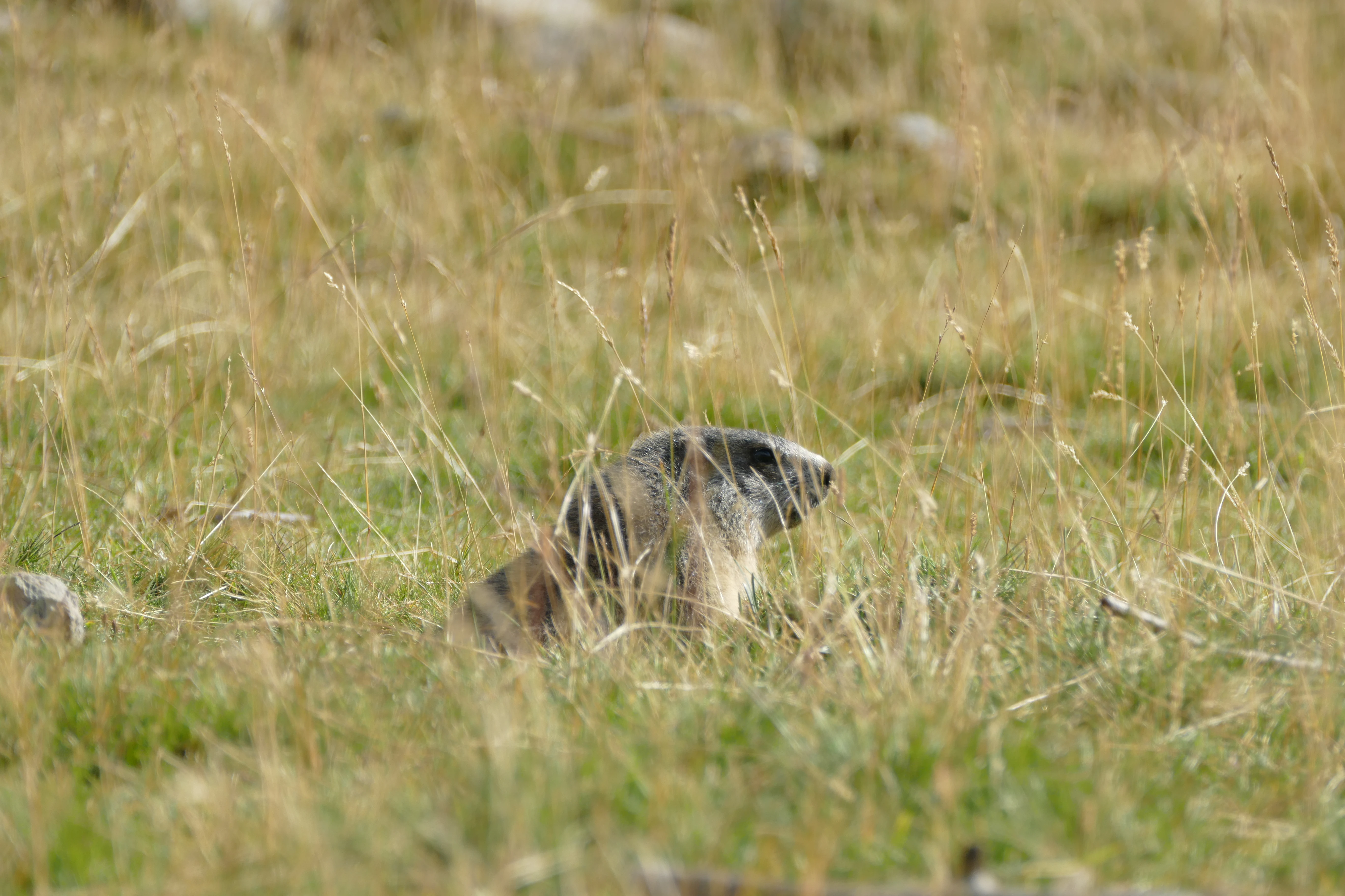
Marmot peeking from tall grass in an alpine meadow
Marmot partially visible in grassy meadow

Best time to visit Mercantour National Park

The park can be visited throughout the year, with each season offering distinct experiences. Summer and early autumn provide the most accessible conditions for hiking the extensive trail network, with wildflowers blooming in Alpine meadows from June through August and the high-altitude routes remaining snow-free. The warmer months align with the peak visitor season when accommodation and facilities are most readily available. Autumn offers fewer crowds while maintaining pleasant conditions, and the turning of larches to gold creates striking autumn color. Winter transforms the park into a backcountry skiing destination, though conditions are challenging and avalanche risk requires proper equipment and experience. The spring season sees snowmelt feeding the park's numerous streams and lakes while wildlife becomes more active as temperatures rise. The proximity to the Côte d'Azur means that coastal visitors can reach the park's lower valleys in under two hours, making it a convenient mountain escape from the Riviera.

Park guides

Essential context for timing high altitude alpine exploration

Mercantour National Park Focused Guide Preview and Visitor Planning Resources

Targeted readings provide structured answers for planning visits across shifting mountain terrain and remote alpine valleys. Consult seasonal timing insights to understand trail accessibility and weather variations before entering protected sectors.
Monthly climate preview

Charting monthly temperature averages and daily precipitation trends over three decades

Mercantour National Park Climate and Average Temperature Patterns

Long-term data at a representative elevation of 1274 meters reveals a thermal rhythm where mean temperatures range from below-freezing averages up to nineteen degrees Celsius. Accessing the complete twelve-month cycle highlights daily precipitation patterns and daily minimums to provide a detailed geographical profile of the regional climate.
Annual mean9 °C
-1 °C19 °C
Jan-1°
Feb
Mar
Apr
May11°
Jun16°
Jul19°
Aug19°
Sep14°
Oct
Nov
Dec
Warmest month
July

19.2 °C

Coolest month
January

-0.7 °C

Wettest month
November

3.6 mm/day

Driest month
July

0.9 mm/day

Park location guide

Geography guide, regional context, and park location map for Mercantour National Park

Mercantour National Park park geography, regions, and map view in France

Understand where Mercantour National Park sits in France through a broader geographic reading of the surrounding landscape, nearby location context, and its mapped position within the national park landscape.

How Mercantour National Park fits into France

France is a unitary semi-presidential republic and one of the world's largest economies. It borders Belgium, Luxembourg, Germany, Switzerland, Italy, Monaco, Andorra, and Spain, with a maritime border to the United Kingdom. The country is known for its cultural influence, art, cuisine, and political history spanning centuries.

Wider geography shaping Mercantour National Park in France

France is located in Western Europe. Metropolitan France extends from the Rhine to the Atlantic Ocean and from the Mediterranean Sea to the English Channel and North Sea. The country borders Belgium, Luxembourg, Germany, Switzerland, Italy, Monaco, Andorra, Spain, and has a maritime border with the United Kingdom.

Map view of Mercantour National Park

Use this park location map to pinpoint Mercantour National Park in France, understand its exact geographic position, and read its mapped placement within the surrounding landscape more clearly.

Pigeon | © OpenStreetMap contributors

Location context for Mercantour National Park

Alpes-de-Haute-ProvenceAlpes-Maritimes
Natural feature types

Browse the Geographic Landscapes and Named Features of Mercantour National Park

Continue exploring the physical geography of Mercantour National Park by viewing our comprehensive index of named natural features. MoriAtlas provides a clear structure to categorize the glacial valleys, mountain peaks, and unique ecological sites that define this protected Alpine landscape.
Recorded earthquake history

Explore the Historical Earthquake Catalogue for Mercantour National Park

Gain insight into the regional seismic history by viewing recorded earthquake data associated with Mercantour National Park. This MoriAtlas dataset allows you to examine past events and their geographic relationship to the park boundaries through a clear, structured format for easier spatial discovery.

Mercantour National Park Earthquake History

Catalogued events

382 events

Strongest magnitude

Magnitude 5

Most recent event

Mar 18, 2025

This history includes earthquakes recorded inside the park or within 50 km of its borders

Visually explore Mercantour's distinct Alpine peaks, glacial valleys, and Mediterranean-influenced landscapes.

Mercantour National Park Photos: Visual Exploration of Alpine Landscapes, Scenery, and Protected Habitats

Browse an extensive gallery of Mercantour National Park images to visually understand its dramatic Alpine topography, striking Mediterranean-Alpine ecotone, and varied protected habitats. These photographs provide crucial insight into the park's distinct landscape character, offering a clearer perspective on its unique geology, diverse flora, and notable conservation efforts.

Panoramic view of Lake Allos surrounded by mountain peaks from Mont Pelat summit

A mountain lake surrounded by rocky terrain, green meadows, and forested slopes under a clear blue sky with a prominent mountain peak in the background.

Grassy valley with scattered trees, mountain peaks in the background under a blue sky with clouds.

Sunrise over a mountain valley with rocky slopes and distant peaks under a partly cloudy sky

A village with stone houses on a hillside surrounded by green mountains and a winding road

A chamois stands on rocky ground with green grass and wildflowers, another chamois grazing in the background

Pink flowering plant with green and orange leaves growing on rocky surface

Marmot peeking from tall grass in an alpine meadow

Sheep grazing on a grassy alpine hillside with large rocks

Park atlas

Trace the regional park geography and connected protected landscapes across the Southern Alps, comparing diverse protected areas.

Discover National Parks and Protected Areas Near Mercantour National Park, Southern French Alps

Browse other significant national parks and protected areas surrounding Mercantour National Park, extending your geographic discovery across the Southern French Alps. Compare the unique Mediterranean-Alpine ecotone of Mercantour with adjacent mountain ranges and trace similar conservation landscapes and ecological patterns.
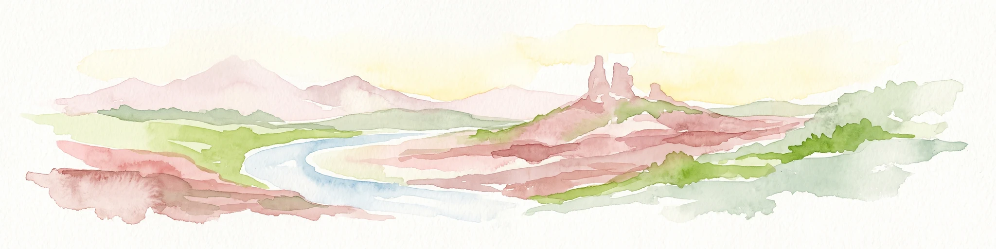
A watercolor illustration showing a landscape with red rock formations, green vegetation, and a winding blue river.
Nature reserveProvence-Alpes-Côte d'Azur
About 9.7 km away#1 closest

Southwest

Réserve naturelle régionale des gorges de Daluis: Red Rock Canyon and Geological Atlas

Protected canyon landscape in Provence-Alpes-Côte d'Azur

Defined by its vivid red pelite cliffs, Réserve naturelle régionale des gorges de Daluis functions as a significant protected canyon system. The terrain preserves rare mineralogy and diverse microhabitats, ranging from river-carved walls to upland slopes that support unique regional biodiversity in the Alpes-Maritimes.

Area
10.82 km²
Established
2012
IUCN
IV
Relief
Mountain
Marine protected areaFrance
15 km away#2 closest

Southeast

Sanctuaire Pelagos Marine Protected Area: Mediterranean Geography and Seascape

A transboundary conservation zone spanning 87,500 square kilometers.

Sanctuaire Pelagos represents a unique collaborative effort in marine conservation across the Mediterranean. Spanning the waters between France, Italy, and Monaco, this protected maritime area is defined by its deep-sea canyons and nutrient-rich currents that sustain diverse cetacean populations. Its immense scale and international governance make it a focal point for understanding Mediterranean marine biodiversity and environmental policy.

Area
87,500 km²
Established
1999
IUCN
IV
Relief
Lowland
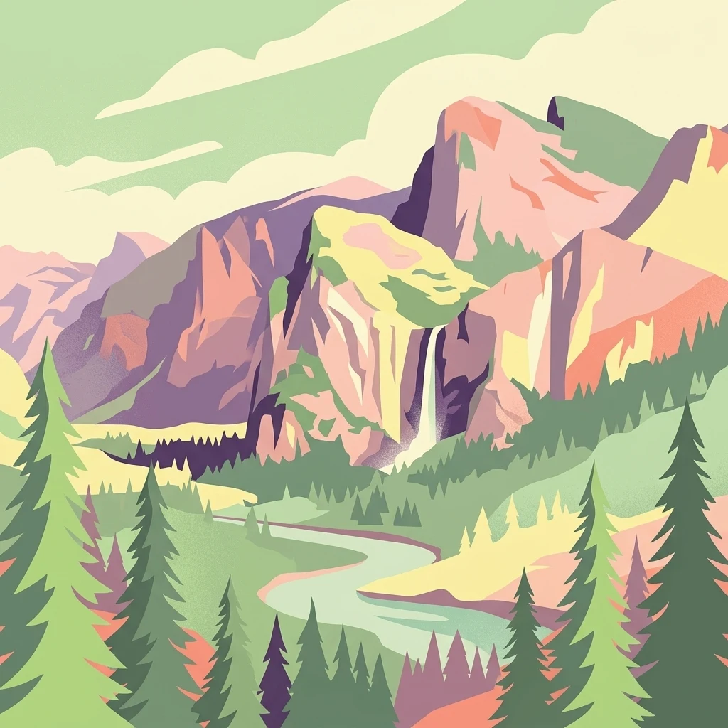
A digital illustration of a valley featuring jagged mountain peaks, a waterfall, a winding river, and pine forests in the foreground.
Marine protected areaMonaco
About 18 km away#3 closest

Southeast

Larvotto and Portier Coastal Reserve: Marine Protected Area and Coastal Habitat Atlas

Mapped marine refuge along the dense Monaco shoreline.

The Larvotto and Portier Coastal Reserve represents a distinct marine protected area in Monaco, featuring significant seagrass meadows and transplanted rocky habitats. This coastal zone acts as an essential refuge for Mediterranean biodiversity, providing a rare example of structured marine conservation embedded within a highly developed urban landscape.

Area
0.23 km²
Watercolor painting of distant purple hills and foreground pine trees in soft washes of green, yellow, and red on a white background.
State or regional parkProvence-Alpes-Côte d'Azur
About 23 km away#4 closest

South

Parc naturel départemental du Vinaigrier: Protected Limestone Landscapes near Nice

Regional state park with diverse Mediterranean woodland ecosystems

Parc naturel départemental du Vinaigrier offers a dense, 25 hectare mosaic of limestone plateaus and slopes near the Mediterranean coast. Its landscape is defined by traditional dry stone terraces and a rare flowering ash forest, creating a significant ecological bridge between the urban expansion of Nice and the hilly interior of the Alpes-Maritimes.

Area
0.25 km²
Established
1980
IUCN
IV
State or regional parkAlpes-Maritimes
28 km away#5 closest

South

Parc naturel départemental de l'Estéron: Riverside Geography in Alpes-Maritimes

A departmental park focusing on the wild Estéron River corridor

Located in the hinterland of the Côte d'Azur, Parc naturel départemental de l'Estéron provides a protected environment focused on the Estéron river valley. Its geography encompasses sun-exposed Mediterranean hillsides and riparian zones, reflecting the intersection of mountain terrain and historic cross-border heritage in the Alpes-Maritimes department.

Area
0.2 km²
Established
2011
Scope
Terrestrial
Water
Major water bodies
A soft watercolor illustration depicting a panoramic view of rolling green hills under a pale, warm sky with distant mountains.
State or regional parkProvence-Alpes-Côte d'Azur
About 31 km away#6 closest

South

Parc naturel départemental du Plan des Noves: Protected Landscapes and Regional Geography

Upland limestone plateau in the French Baous massif

Covering 904 hectares above the town of Vence, this park features a unique combination of Mediterranean woodlands, open pastoral mosaics, and historic agricultural terraces. The terrain serves as a vital ecological corridor, recognized for its birdlife and reptiles, while its elevation offers expansive vistas across the surrounding regional geography from the coast to the high mountain summits.

Area
9.04 km²
Established
1987
Relief
Upland
Scope
Terrestrial
A soft watercolor painting of a rolling hilly landscape with muted greens, yellows, and purples on a white background.
Nature reserveProvence-Alpes-Côte d'Azur
About 31 km away#7 closest

West

Réserve naturelle géologique de Haute-Provence: Geological Protected Area and Map Atlas

Tracing fossil-rich outcrops across the French Pre-Alps regional landscape

Spanning 269 hectares, the Réserve naturelle géologique de Haute-Provence preserves iconic fossil sites like the Dalle aux Ammonites and diverse tectonic terrains. This repository offers insight into the reserve's unique sedimentary layers, folded mountain strata, and deeply incised river valleys that document prehistoric marine environments in France.

Area
2.69 km²
Established
1984
IUCN
III
Relief
Mountain
A horizontal watercolor painting showing a soft alpine meadow with a stream running through it, framed by distant rolling mountains and patches of trees.
Regional parkPiemonte
About 35 km away#8 closest

North

Pian del Re Regional Park: Geography and Alpine Protected Landscapes in Piemonte

Glacial springs, peat bogs, and Monviso mountain terrain

Pian del Re is a significant regional park situated in the upper Po Valley of the Cottian Alps. Known for its high-altitude plateau, the area marks the origin of the Po River and hosts sensitive wetland habitats. The landscape is defined by the sharp relief of the Monviso group and a complex network of glacial meltwater, providing a distinct study in alpine ecology and mountain geography.

Relief
Mountain
Climate
Alpine
Access
Moderate access
Scope
Terrestrial

Common questions about visiting, size, designation, and location context for Mercantour National Park

Mercantour National Park FAQs for park facts, access, geography, and protected area context

Find quick answers about Mercantour National Park, including protected-area facts, park geography, trail and visitor context, and how the park fits into its surrounding country and regional landscape.
MoriAtlas Explorer

Continue Your Protected Areas Search Across the Global Atlas

Deepen your exploration by continuing the structured search for national parks and protected areas worldwide. Utilize the comprehensive filtering capabilities to compare different conservation landscapes and refine your understanding of global park geography. Discover more about the distribution and characteristics of protected natural areas.

Global natural geography