Mori Atlas logo
National parkPort-Cros National Park

Discover the protected island geography, mapped marine boundaries, and unique ecosystems of this historic French National Park.

Port-Cros National Park: A Pioneering Mediterranean Protected Landscape and Marine Atlas

(Parc national de Port-Cros)

Port-Cros National Park, established in 1963, represents a significant milestone in European conservation as the first park to integrate both terrestrial and maritime protection zones. Situated within the Mediterranean Sea off the coast of Provence, this protected landscape comprises the islands of Port-Cros and Porquerolles, safeguarding a diverse array of habitats. Users can explore its unique geographic features, from rugged island terrain and endemic flora to vital underwater posidonia meadows and coralligenous formations, all within a structured atlas context.

Mediterranean islandsMarine protected areaCoastal natureIsland conservationSeabird coloniesMediterranean forest
Stylized illustration of coastal cliffs, turquoise water, sailboats, and Mediterranean vegetation under a bright sun

Port-Cros National Park

National park

Park overview

Structured park overview, official facts, and landscape profile for Port-Cros National Park

Port-Cros National Park park facts, protected area profile, and essential visitor context
Review the core facts for Port-Cros National Park, including designation, size, terrain, visitor scale, habitats, and operating context in one park-focused overview.

About Port-Cros National Park

Port-Cros National Park stands as a landmark in European conservation history, established in 1963 after the island was bequeathed to the French state. As the nation's second national park following Vanoise, it pioneered an integrated approach to protecting both terrestrial and maritime environments—a concept now recognized as essential for island ecosystems. The park's territory encompasses the main islands of Port-Cros and Porquerolles, along with smaller islets including Bagaud, the Gabinière rock, and Rascas. The marine protection zone extends 600 meters from the coastline, creating a comprehensive buffer around the terrestrial core. In 2012, the park boundaries expanded to include most of Porquerolles, significantly increasing the protected area. The park operates under Parcs nationaux de France and maintains strict regulations to preserve its natural character, including limitations on beach access and prohibitions on smoking and dogs in sensitive areas. The park faces challenges from overtourism, with approximately one million visitors annually, necessitating careful management of visitor flows to protect the delicate Mediterranean ecosystem.

Quick facts and research context for Port-Cros National Park

Port-Cros National Park is situated on Mediterranean islands off the coast of Hyères in the Var department of southeastern France. Established on 14 December 1963, it was France's second national park and remains unique in Europe for its integrated terrestrial and maritime protection. The park covers roughly 1,700 hectares of land across multiple islands and 2,900 hectares of marine territory. The islands belong to the southern extension of the Maures massif, a Hercynian geological formation. With around 350 permanent residents, the park balances conservation with limited human habitation and significant seasonal visitation.

Park context

Deeper park guide and search-rich context for Port-Cros National Park

Port-Cros National Park history, landscape, wildlife, and travel context
Explore Port-Cros National Park through its history, landscape character, ecosystems, wildlife, conservation priorities, cultural context, and seasonal travel timing in a structured park guide built for atlas discovery and search intent.

Why Port-Cros National Park stands out

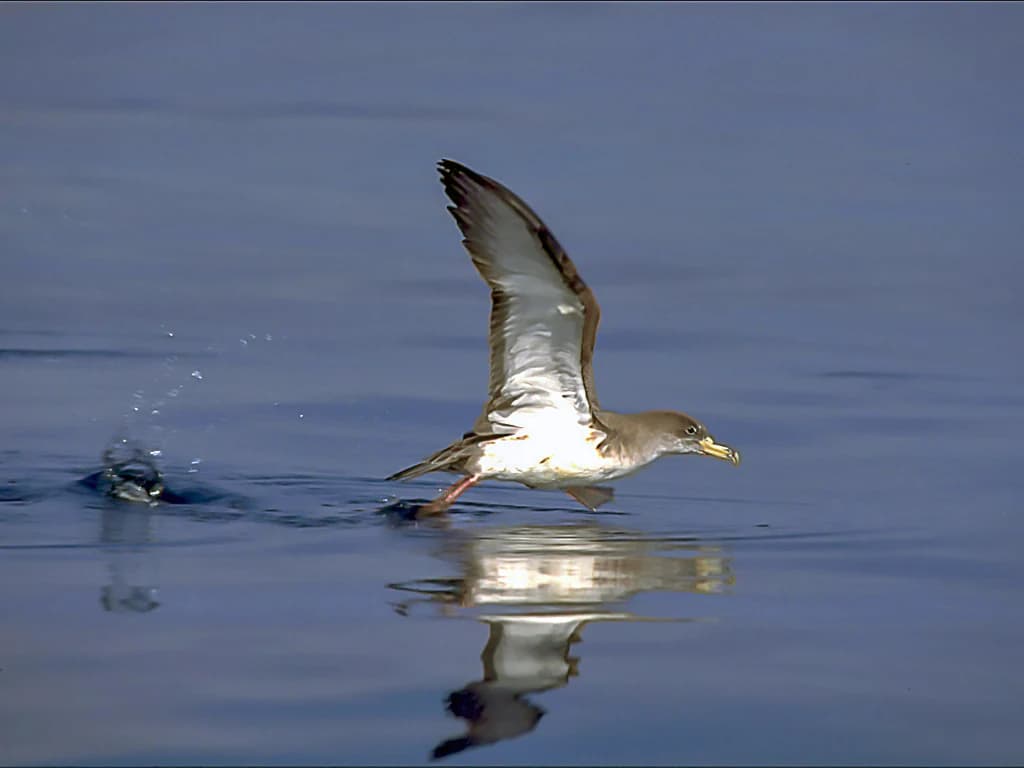
Port-Cros National Park is particularly known for its pioneering dual protection of land and sea, making it unique among European national parks. The park protects critical Mediterranean ecosystems including posidonia seabed meadows, coralligenous formations, and diverse marine life. It hosts France's most significant colony of puffin cendré (Scopoli's shearwater), representing approximately 25% of the national population, as well as nearly 90% of the puffin yelkouan (Balearic shearwater) breeding population. The underwater marine environment is renowned for its population of brown grouper, famously documented in Jacques-Yves Cousteau's film "The Silent World." The park also preserves endemic plant species including the Dauphinelle de Requien, found in France only on Port-Cros.

A Cory's Shearwater bird in flight over calm water with a splash and reflection
Cory's Shearwater flying low over water at Port-Cros National Park

Port-Cros National Park history and protected-area timeline

Port-Cros National Park was founded on 14 December 1963, becoming France's second national park after Vanoise. The establishment followed the bequest of the island of Port-Cros to the French state, which became the sole land owner on the island. This pioneering protected area was innovative in combining terrestrial and marine protection within a single national park framework—a concept unprecedented in Europe at the time. In 2012, the park's boundaries were significantly extended to encompass most of Porquerolles, adding approximately 1,000 hectares that had been under the park's administration since 1971 through the Conservatoire Botanique National Méditerranéen de Porquerolles. The 2006 reform of French national park legislation, which introduced the concepts of central zone and peripheral adhesion zone, shaped the park's expanded governance structure. The park was awarded the European Diploma by the Council of Europe in 1997, recognizing its outstanding conservation contributions.

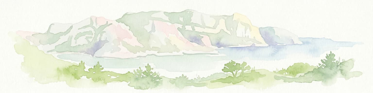
Port-Cros National Park landscape and geographic character

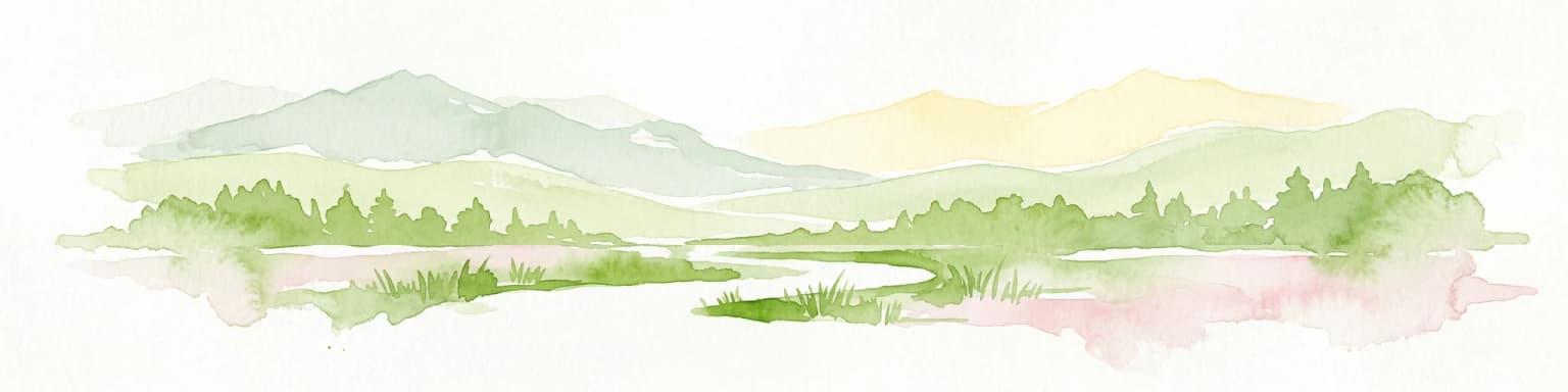
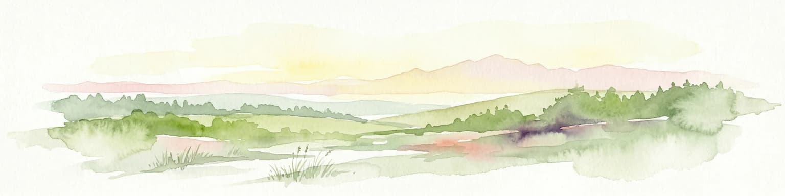
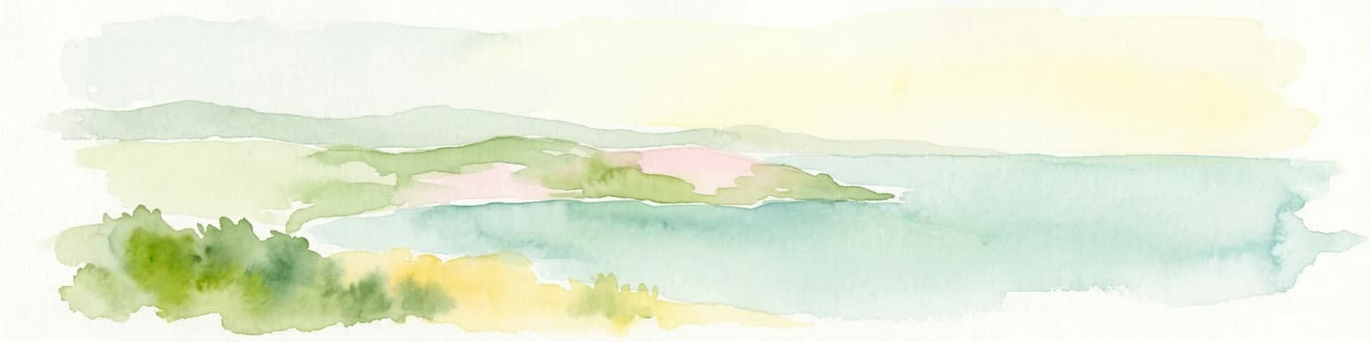
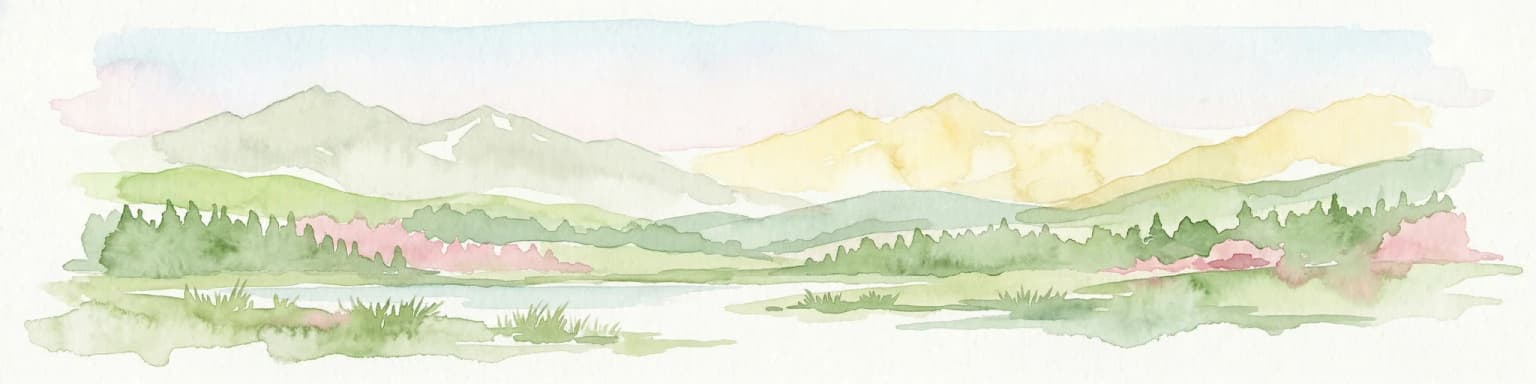
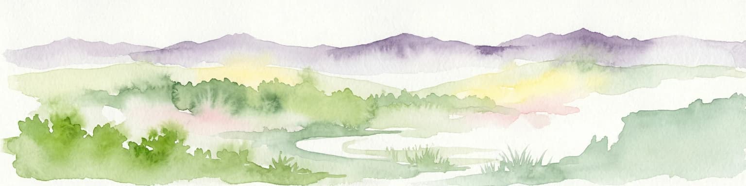
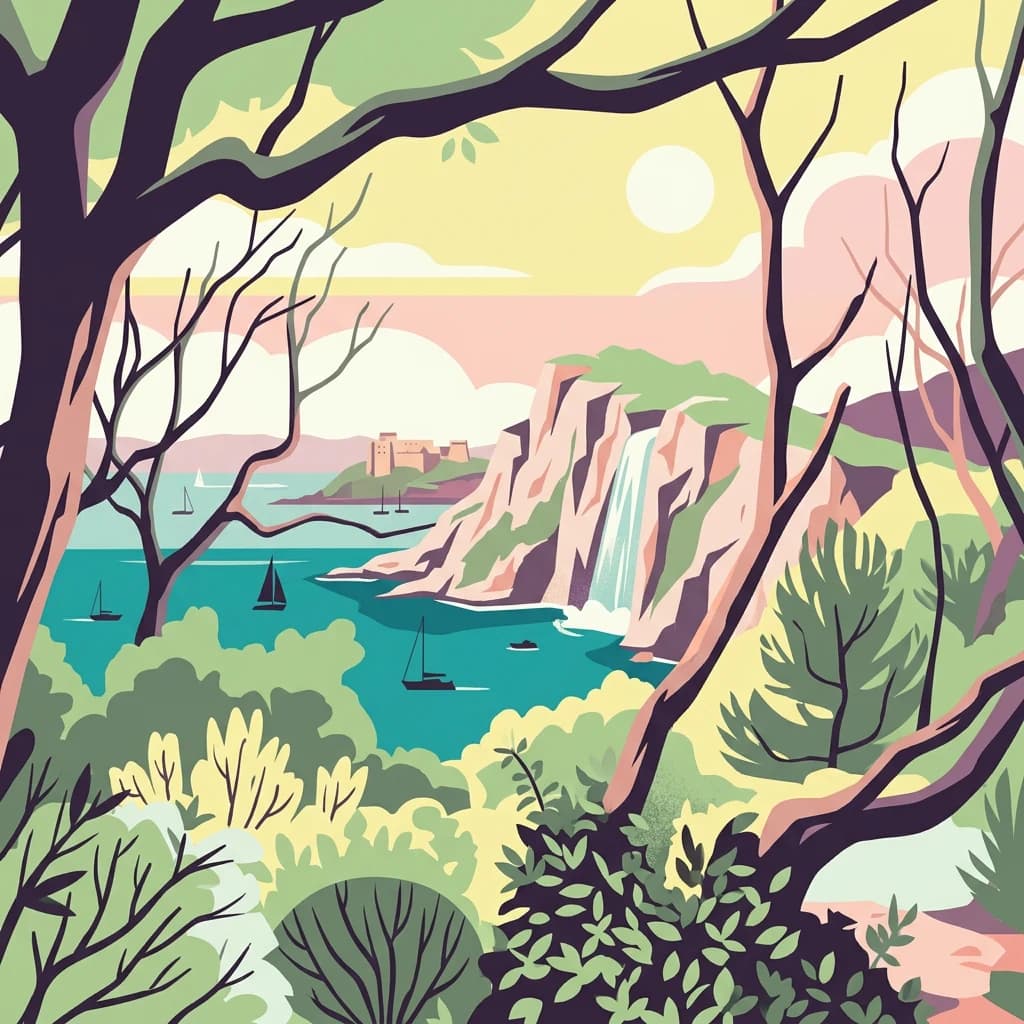
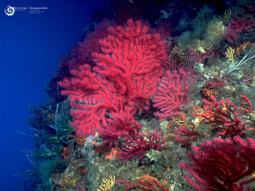
Port-Cros National Park encompasses a diverse Mediterranean island landscape dominated by the Hercynian bedrock of the Maures massif. The island of Port-Cros rises to 194 meters at Mont Vinaigre, with terrain characterized by ridges and valleys running parallel to ancient fault lines. The landscape features steep coastal cliffs along the southern rocky shore and lower sandy beaches on the northern coast. The islands showcase typical Mediterranean vegetation patterns, with holm oak forest historically covering the island's slopes, now interspersed with Aleppo pine and extensive maquis shrubland. The 1870 fire that nearly destroyed the island reshaped much of the vegetation. Coastal areas feature specialized halophyte vegetation adapted to salt spray, while rocky crevices host specialized plant communities. The underwater landscape includes posidonia meadows, rocky coralligenous formations, and sandy bottoms, with the continental shelf dropping to 2,000 meters depth less than 10 kilometers from the southern coast—a remarkable geological feature representing the rift scar of the Corsica-Sardinia block's drift.

White flower with yellow center and red markings, green leaves, and a small insect on one petal
Cistus ladanifer flower with a small insect on its petals in Port-Cros National Park

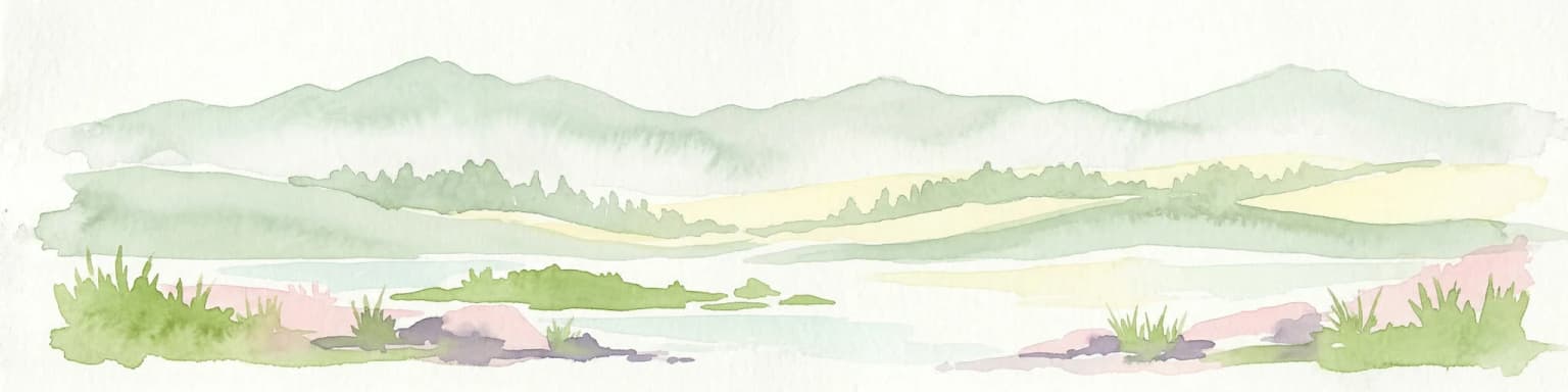
Port-Cros National Park ecosystems, habitats, and plant life

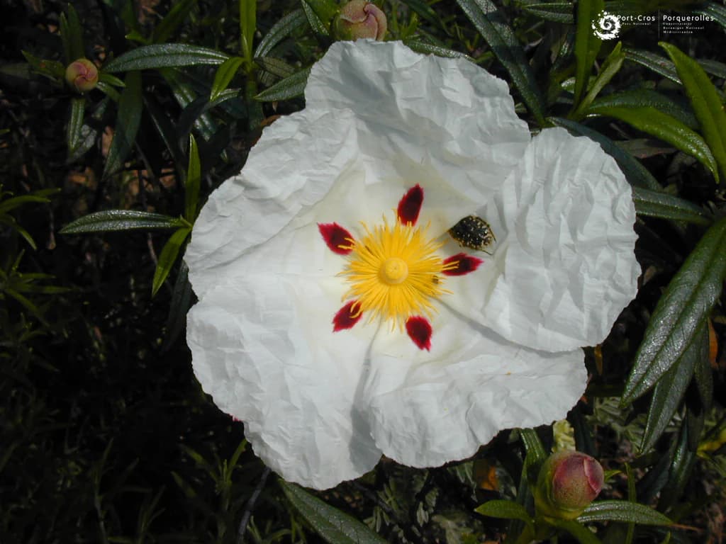
The park's insular nature and habitat diversity have produced remarkable botanical richness, with approximately 700 plant species documented including several endemic and rare varieties. The Dauphinelle de Requien and Genêt à feuille de lin represent species found only at Port-Cros in France. Vegetation follows distinct zones: holm oak forest persists in moist valleys, Aleppo pine and maquis dominate slopes following historical clearing and fire, while coastal areas support specialized communities of sea fennel, maritime ragwort, and Mediterranean sea lavender. The marine environment showcases representative Mediterranean habitats including posidonia oceanica meadows supporting diverse fish communities, coralligenous formations hosting predators such as grouper and dentex, and sandy bottoms frequented by schools of red mullet. The park administers the Conservatoire Botanique National Méditerranéen de Porquerolles, charged with conserving wild flora and threatened Mediterranean fruit varieties.

Coastal harbor scene with sailboats in calm water, buildings on a hill, and vegetation in foreground
Port-Cros National Park harbor with boats docked near historic buildings on a hillside

Port-Cros National Park wildlife and species highlights

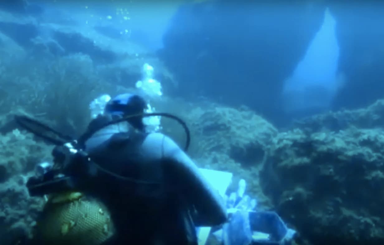
The park supports significant bird populations with 144 species documented, including 40 nesting species. The colonies of Procellariiformes are particularly notable: the puffin cendré colony at Porquerolles represents about 25% of French breeding populations, while the puffin yelkouan nests nearly exclusively in the park's territories. Falcons including the peregrine falcon and occasional Eleonora's falcon inhabit the cliffs, while the forested interior hosts the dartford warbler, nightjar, and scops owl. The marine avifauna includes gulls, cormorants, and migrant species. The marine environment hosts 180 fish species and important marine mammals including common dolphins, pilot whales, and occasional loggerhead turtles. The underwater ecosystem gained fame through the grouper population documented in Cousteau's work, with studies demonstrating population recovery following protection measures. The park also preserves terrestrial endemic species including the Sardinian discoglosse frog and the European leaf-toed gecko.

Vibrant red gorgonian coral formations on a rocky seabed with various marine organisms in deep blue water
Red gorgonian corals in Port-Cros National Park's marine environment

Port-Cros National Park conservation status and protection priorities

Port-Cros National Park represents a pioneering conservation model integrating terrestrial and marine protection within a single framework. The park forms part of the European Natura 2000 network and serves as the operator for the "Côte d'Hyères et son archipel" major site, coordinating preservation measures both on land and at sea. Since 1999, the park has managed the French component of the PELAGOS Agreement, a tripartite sanctuary protecting Mediterranean marine mammals among France, Italy, and Monaco. The park's marine protection has proven effective, with brown grouper populations showing recovery after decades of decline attributed to previous overfishing and spearfishing. The 2012 extension to include Porquerolles added significant terrestrial territory to the protected core. Fire prevention constitutes a major management focus given the Mediterranean climate's summer fire risk. The park also participates in the UNESCO World Heritage tentative list, nominated under criteria relating to natural beauty and biodiversity.

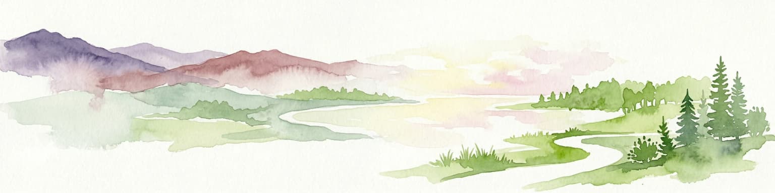
Port-Cros National Park cultural meaning and human context

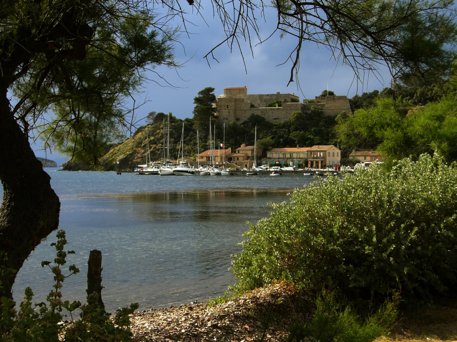
The islands of the Hyères archipelago have been inhabited since antiquity, with the landscape shaped by centuries of human presence including agriculture, viticulture, and maritime activities. The park contains historic agricultural structures including the Moulin du Happiness, a eighteenth-century mill testifying to past farming activity that the park has worked to preserve. The underwater environment achieved international fame through Jacques-Yves Cousteau's 1956 film "The Silent World," which featured the grouper populations of Port-Cros and helped establish the site's renown among divers. Artist André Laban, Cousteau's associate, created underwater paintings at the park until 2015, documenting the marine environment. The Villa Carmignac, established on Porquerolles in 2018, continues the artistic connection to the islands. The park maintains approximately 350 permanent residents on the islands, primarily in Porquerolles, and works to sustain traditional agricultural practices through emphyteutic leases to maintain landscape diversity and employment.

Scuba diver with equipment swimming underwater near rocky seabed with marine life
Scuba diver exploring the marine environment of Port-Cros National Park

Top sights and standout views in Port-Cros National Park

Port-Cros National Park uniquely combines terrestrial and maritime protection in one of Europe's oldest island parks. The underwater trail at La Palud allows snorkeling exploration of Mediterranean marine life including grouper populations. The park protects France's most significant seabird colonies and serves as a marine mammal sanctuary under the PELAGOS Agreement. Endemic plant species including the Dauphinelle de Requien exist nowhere else in France. The 2012 expansion to include Porquerolles created one of France's largest protected coastal and marine territories.

Best time to visit Port-Cros National Park

The park can be enjoyed year-round, though summer brings the highest visitor numbers and potential crowding. Spring and autumn offer milder temperatures, fewer visitors, and excellent conditions for hiking the island trails such as the Sentier des Crêtes. The underwater marine environment is accessible for diving and snorkeling throughout the year, though water temperatures favor the summer months. The Sentier des Crêtes trail traverses the island from the Fausse-Monnaie cove through the Solitude valley to Mont Vinaigre at 194 meters, providing panoramic views. The underwater trail at La Palud operates with mask and snorkel, allowing independent exploration of the marine ecosystem.

Park location guide

Geography guide, regional context, and park location map for Port-Cros National Park

Port-Cros National Park park geography, regions, and map view in France
Understand where Port-Cros National Park sits in France through a broader geographic reading of the surrounding landscape, nearby location context, and its mapped position within the national park landscape.

How Port-Cros National Park fits into France

France is a unitary semi-presidential republic and one of the world's largest economies. It borders Belgium, Luxembourg, Germany, Switzerland, Italy, Monaco, Andorra, and Spain, with a maritime border to the United Kingdom. The country is known for its cultural influence, art, cuisine, and political history spanning centuries.

Wider geography shaping Port-Cros National Park in France

France is located in Western Europe. Metropolitan France extends from the Rhine to the Atlantic Ocean and from the Mediterranean Sea to the English Channel and North Sea. The country borders Belgium, Luxembourg, Germany, Switzerland, Italy, Monaco, Andorra, Spain, and has a maritime border with the United Kingdom.

Map view of Port-Cros National Park

Use this park location map to pinpoint Port-Cros National Park in France, understand its exact geographic position, and read its mapped placement within the surrounding landscape more clearly.

Pigeon | © OpenStreetMap contributors

Location context for Port-Cros National Park

Var

A Visual Atlas of Port-Cros Scenery, Coastal Terrain, and Unique Protected Habitats

Port-Cros National Park Photos: Explore Mediterranean Island Landscapes and Marine Environments
Browse compelling imagery of Port-Cros National Park to visually understand its distinctive Mediterranean island and marine environments. Examine the coastal cliffs, holm oak forests, maquis shrubland, and critical underwater ecosystems, gaining a clearer perspective on the park's protected landscapes and unique conservation value.

A Cory's Shearwater bird in flight over calm water with a splash and reflection

Aerial view of rocky coastline with clear blue water, sailboats, and green vegetation on Porquerolles Island.

White flower with yellow center and red markings, green leaves, and a small insect on one petal

Coastal harbor scene with sailboats in calm water, buildings on a hill, and vegetation in foreground

Vibrant red gorgonian coral formations on a rocky seabed with various marine organisms in deep blue water

Trees with bare branches frame a view of the Mediterranean Sea and distant landmass under a partly cloudy sky

Scuba diver with equipment swimming underwater near rocky seabed with marine life

Park atlas

Compare diverse coastal and island protected landscapes, tracing their geographic spread around Port-Cros National Park

Explore Other National Parks and Marine Protected Areas Near Port-Cros National Park in the Mediterranean
Explore other significant protected areas and national parks adjacent to Port-Cros National Park, spanning diverse Mediterranean island and coastal ecosystems. Access comprehensive geographic context to compare park features, conservation landscapes, and regional park distribution for deeper atlas-style discovery.
National parkBouches-du-Rhône

Calanques National Park: Mediterranean Limestone Cliffs and Marine Protected Area

France's First Peri-Urban National Park

Calanques National Park, situated in the Bouches-du-Rhône department, represents a significant protected landscape where dramatic limestone geology meets the Mediterranean Sea. This atlas-focused entry details the park's iconic calanques, its combined terrestrial and marine protected zones, and its rich prehistoric cultural significance. Understand its unique geographic setting and its importance as a conservation area accessible for map-based discovery and regional landscape context.

Area
520 km²
Established
2012
IUCN
II
Relief
Mountain
Watercolor illustration of a mountainous landscape featuring a river, rolling hills, and green vegetation
National park

Mercantour National Park: Mapped Alpine Protected Landscape and Regional Geography

Explore France's dramatic Alps, park boundaries, and unique ecotones.

Mercantour National Park stands as a premier protected area within the French Alps, distinguished by its remarkable geographic diversity and ecological significance. This national park encompasses mountainous terrain featuring dramatic peaks, deep glacial valleys, and a unique ecotone where Mediterranean and Alpine ecosystems converge. MoriAtlas facilitates a detailed atlas-style exploration of Mercantour National Park, highlighting its mapped protected boundaries, varied natural landscapes, and its pivotal role in regional geography and conservation efforts.

Area
679 km²
Established
1979
IUCN
II
Visitors
800K annual
National park

Écrins National Park: Alpine Glaciated Terrain and Protected Landscape Details

Mapped boundaries and regional geography of a major French National Park.

Delve into Écrins National Park, a defining national park within the French Alps. This page provides a comprehensive overview of its protected landscape, focusing on its dramatic glaciated terrain, significant peaks such as the Barre des Écrins, and its position within the regional geographic context. Explore the mapped extent and understand the unique alpine environment of this protected area.

Area
925 km²
Established
1973
IUCN
II
National parkSavoie

Vanoise National Park: Explore France's Original National Park in the Savoie Alps

Mapped Alpine geography, glacial terrain, and protected landscape.

Vanoise National Park is France's pioneering national park, a protected landscape of immense alpine beauty situated in the Savoie department. Renowned for its dramatic glacial terrain, over 100 peaks above 3,000 meters, and the iconic Alpine ibex, this park offers a profound geographic context. Explore its mapped boundaries and discover the unique atlas-level insights into France's mountainous protected areas and their ecological significance.

Area
534 km²
Established
1963
IUCN
II
Relief
Mountain
Watercolor illustration of green fields, a river, and mountains under a soft pink and yellow sky
National parkOccitanie

Cévennes National Park: Explore its Mapped Terrain and Protected Landscape in Occitanie

Discover the unique geographic context and park boundaries.

Cévennes National Park, situated in Occitanie, France, offers a rich exploration of mid-mountain Mediterranean geography. As a protected landscape, its mapped terrain features dramatic limestone plateaus, deep river gorges, and distinct granite massifs. This entry provides essential geographic context for Cévennes National Park, highlighting its unique natural features and its significance as a protected area within the broader regional atlas.

Area
937 km²
Established
1970
IUCN
V
Visitors
800K annual
Watercolor illustration of a coastal landscape with green hills, shoreline, and blue sea under a pale yellow sky
National parkSardinia

Asinara National Park: National Park Protected Landscape and Geographic Setting

Explore mapped terrain and protected area context within Sardinia.

Asinara National Park stands as a key protected landscape within the Italian national park system, located off the coast of Sardinia. This entry provides detailed geographic context, focusing on its mapped boundaries and the unique natural terrain that defines this island sanctuary. MoriAtlas facilitates a structured discovery of Asinara National Park, enabling users to understand its protected area status and its significant position within the broader regional geography of Sardinia for atlas exploration.

Area
51.7 km²
Established
1997
IUCN
II
Relief
Mixed relief
Watercolor illustration depicting green valleys, forests, and distant mountain peaks
National park

Gran Paradiso National Park: Italy's National Park Protected Landscape Atlas

Mapped boundaries and regional geography for a key Italian protected area.

Gran Paradiso National Park is a distinct national park entity within Italy, offering rich potential for atlas-driven geographic discovery. This MoriAtlas profile focuses on its protected landscape identity, providing essential context for understanding its mapped boundaries and its role within the regional geography of Italy. Explore the structured geographic details that make Gran Paradiso National Park a valuable component of any mapped landscape analysis.

Area
703 km²
Established
1922
IUCN
II
Relief
Mountain
National parkLiguria

Cinque Terre National Park: Protected Area Geography and Mapped Landscape

Explore its regional context in Liguria, Italy.

Examine Cinque Terre National Park as a key protected area within the rugged geography of Italy's Liguria region. This dedicated atlas entry provides essential geographic context, detailing the park's mapped boundaries and its significance as a national park. Understand how this protected landscape fits within the broader regional terrain, offering a structured view for geographic discovery and map-based exploration of Italy's protected areas.

Area
22 km²
Established
1999
IUCN
V
Relief
Mountain

Common questions about visiting, size, designation, and location context for Port-Cros National Park

Port-Cros National Park FAQs for park facts, access, geography, and protected area context
Find quick answers about Port-Cros National Park, including protected-area facts, park geography, trail and visitor context, and how the park fits into its surrounding country and regional landscape.
MoriAtlas Explorer

Continue Your Protected Areas Search Across the Global Atlas

Deepen your exploration by continuing the structured search for national parks and protected areas worldwide. Utilize the comprehensive filtering capabilities to compare different conservation landscapes and refine your understanding of global park geography. Discover more about the distribution and characteristics of protected natural areas.

Global natural geography