Mori Atlas logo
National parkAsinara National Park

Discover the mapped terrain and geographic context of this unique island national park.

Asinara National Park: A Protected National Park Landscape in Sardinia

(Parco Nazionale dell'Asinara)

Asinara National Park represents a significant protected landscape situated off the coast of Sardinia, Italy. This national park offers a unique opportunity for atlas-based exploration, revealing its distinct mapped boundaries and the surrounding natural terrain. Understanding Asinara National Park through MoriAtlas allows for a deeper appreciation of its geographic identity and its place within the regional context of Sardinia, providing a factual foundation for comprehending protected lands.

Island parksMediterranean ecosystemsProtected marine areasBirdwatchingHistorical sitesSardinia parks
Illustration of a coastal bay with rocky cliffs, turquoise water, green vegetation, and a sun in the sky

Asinara National Park

National park

Park overview

Structured park overview, official facts, and landscape profile for Asinara National Park

Asinara National Park park facts, protected area profile, and essential visitor context
Review the core facts for Asinara National Park, including designation, size, terrain, visitor scale, habitats, and operating context in one park-focused overview.

About Asinara National Park

Asinara National Park represents a remarkable transformation from one of Italy's most notorious penal institutions to a protected natural reserve. The park encompasses the entire Asinara Island, the second-largest island in the Sardinian archipelago, situated in the Tyrrhenian Sea just off the northwestern coast of Sardinia. The park's establishment marked the end of the island's century-long association with incarceration and quarantine, allowing natural ecosystems to recover and visitors to experience the island's Mediterranean beauty. The park protects a diverse range of Mediterranean habitats including coastal cliffs, sandy beaches, seasonal wetlands, gariga shrubland, and remnants of holm oak forest. The marine component, established as a separate marine protected area, extends conservation to the surrounding waters and their underwater ecosystems. The park's visitor experience combines natural exploration with historical discovery, as the former prison structures have been preserved and integrated into the educational narrative of the reserve.

Quick facts and research context for Asinara National Park

Asinara National Park occupies the entire island of Asinara in the province of Sassari, Sardinia, with the nearest mainland point being the port city of Porto Torres. The island is predominantly mountainous with five main peaks exceeding 195 meters in elevation. The park includes both land and surrounding marine areas, creating a comprehensive protection zone for Mediterranean coastal ecosystems. The park is governed by the Ministry of the Environment and managed by the Ente Parco Nazionale dell'Asinara. The island was historically demanialized in 1885 for the construction of an agricultural penal colony and lazaretto, with native inhabitants relocated to the newly established town of Stintino.

Park context

Deeper park guide and search-rich context for Asinara National Park

Asinara National Park history, landscape, wildlife, and travel context
Explore Asinara National Park through its history, landscape character, ecosystems, wildlife, conservation priorities, cultural context, and seasonal travel timing in a structured park guide built for atlas discovery and search intent.

Why Asinara National Park stands out

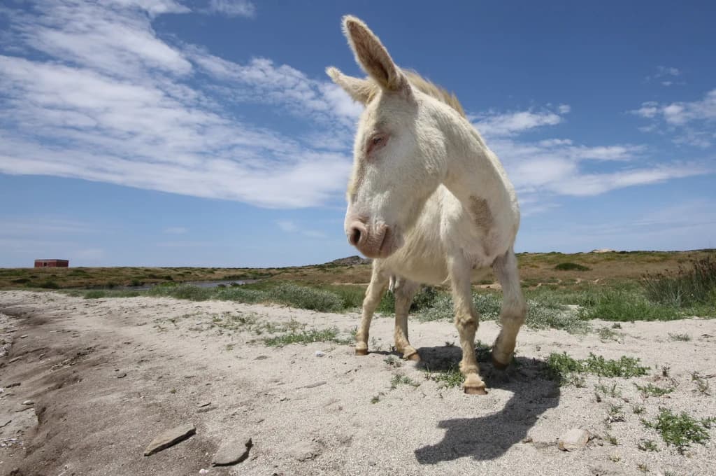
Asinara National Park is best known for its dramatic combination of Mediterranean island landscapes, rich biodiversity, and extraordinary historical legacy as a former high-security prison. The park is famous for its populations of rare wildlife including the albino Sardinian donkey, the asinello bianco, which has become an emblematic species of the island. The marine environment surrounding the island supports important seabird colonies, particularly the shag, while the island's ponds provide critical habitat for migratory waterfowl. The contrast between the island's natural beauty and its dark historical reputation as "Devil's Island" creates a distinctive character that sets this park apart from other Italian protected areas.

White donkey standing on sandy ground with sparse grass under a clear blue sky.
White donkey in Asinara National Park, Sardinia.

Asinara National Park history and protected-area timeline

The history of Asinara National Park is inseparable from the island's long association with confinement and control. The island's use as a place of isolation began in the late 19th century when, in 1885, the Italian state demanialized the island to establish an agricultural penal colony and a lazaretto for quarantine purposes. The native population was relocated to the newly created settlement of Stintino on the mainland. During World War I, the island served as a prison camp for Austrian-Hungarian soldiers. In the latter decades of the 20th century, Asinara became one of Italy's most important high-security prisons, particularly during the Years of Lead when it held terrorists and later mafia figures. The campaign for establishing a national park began in 1967 with a conference in Porto Torres discussing the possibility of returning the island to the commune. Subsequent developments included a 1984 international conference on parks and a 1988 legislative proposal to transfer the island to the Sardinia Region. The formal creation process began with a State-Region agreement in 1992, followed by the provisional perimeter decree in November 1997, coinciding with the prison's official closure on December 31, 1997. The park was officially established by presidential decree in October 2002, with the surrounding marine protected area established the same year.

Asinara National Park landscape and geographic character

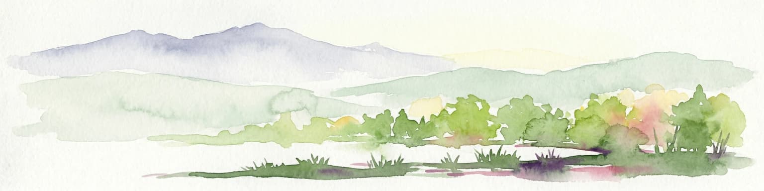
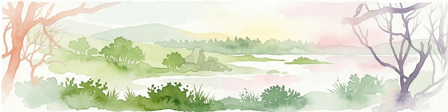
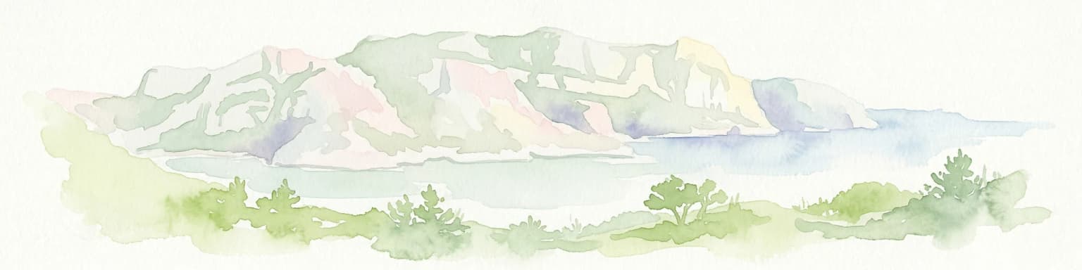
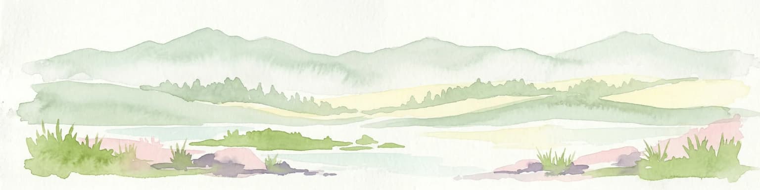
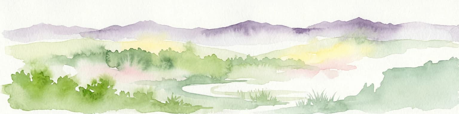
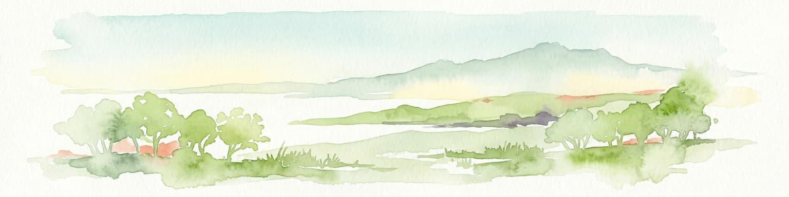
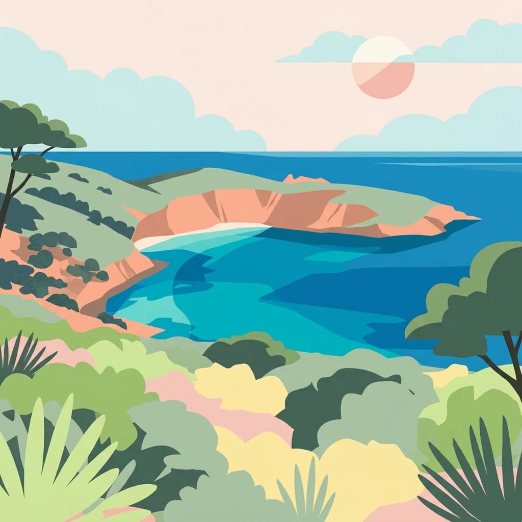
Asinara Island presents a predominantly mountainous Mediterranean landscape characterized by rugged terrain and dramatic coastal features. The island's highest point reaches 408 meters at Punta della Scomunica, with other significant peaks including Punta Maestra at 265 meters, Punta Tumbarino at 241 meters, Monte Ruda at 215 meters, and Punta Marcutza at 195 meters. The terrain is interspersed with small flat areas near Cala Reale and Fornelli, which were historically cultivated before the island's conversion to a penal colony. The island's 110-kilometer coastline alternates between rocky cliffs and small sandy beaches along its eastern shore. Seasonal water courses drain the terrain during rainy periods, feeding small ponds in locations including Fornelli, Cala Sant'Andrea, Cala Stagno Lungo, and Cala Barche Napoletane. These wetlands support specialized vegetation and provide critical habitat for waterfowl. The landscape also includes the remnants of the island's penal infrastructure, including the village at Cala d'Oliva and the artificial reservoirs that once served the prison population.

Asinara National Park ecosystems, habitats, and plant life

The ecological character of Asinara National Park reflects typical Mediterranean island environments, though the island's history of heavy grazing by introduced species has significantly shaped vegetation patterns. The flora displays the characteristic zonation of Mediterranean coastal zones, with halophytic vegetation dominating rocky shores, beach grasses and sandwort communities on sandy areas, and maquis shrubland covering much of the interior. The island supports a small but significant remnant of holm oak forest at Elighe Mannu, representing what the original vegetation would have resembled before centuries of human impact. The vegetation is characterized by the dominance of toxic species like Euphorbia dendroides, which has survived preferential grazing pressure. The park management, in collaboration with the Sardinia Forest Authority, has undertaken programs to remove introduced herbivores including goats, mouflon, and wild boar to allow natural vegetation recovery. The coastal and wetland areas support specialized plant communities adapted to saline conditions and seasonal water availability.

Asinara National Park wildlife and species highlights

Asinara National Park supports a diverse Mediterranean fauna despite the island's small size and historical degradation. The island is particularly notable for its bird populations, with important colonies of shags nesting on the rocky shores at Cala Scombro di Dentro. The seasonal wetlands attract a wide variety of migratory and resident waterfowl, making the island significant for birdwatching. The reptile fauna includes several species typical of Mediterranean islands, including the European pond turtle and Hermann's tortoise. The mammalian fauna includes the iconic albino Sardinian donkey, the asinello bianco, which has become a symbol of the park. Other mammals include hedgehogs, shrews, hares, and wild boar. The island also supports populations of Mouflon that were introduced for hunting. The marine environment supports additional species including dolphins and various fish species, though the sources provide limited detail on marine fauna.

Asinara National Park conservation status and protection priorities

Asinara National Park represents an important conservation initiative in the Mediterranean region, protecting both terrestrial and marine ecosystems that would otherwise face development pressure. The park's establishment in 1997 and 2002 transformed former prison lands into protected natural areas, allowing ecological recovery on a landscape that had been heavily modified by decades of human activity and introduced species. The marine protected area surrounding the island extends conservation to the coastal waters, protecting underwater habitats and species. The park faces ongoing conservation challenges related to the recovery of vegetation from historical overgrazing and the management of introduced species. The turtle hospital at Fornelli, established in 2004, demonstrates the park's commitment to species conservation and rehabilitation. The presence of the Austrian-Hungarian war cemetery from World War I adds a historical dimension to the site's conservation value, preserving material evidence of the island's complex past.

Asinara National Park cultural meaning and human context

The cultural context of Asinara National Park is profoundly shaped by its extraordinary history as a place of isolation and confinement. The island's designation as "Isola del Diavolo" or Devil's Island reflects its historical use as a quarantine station, a World War I prison camp, and later one of Italy's most secure high-security prisons. This layered history has left physical traces across the island, from the prison structures at Cala d'Oliva to the Austrian-Hungarian war cemetery built in the 1930s. The demanialization of the island in 1885 led to the displacement of the native population, many of whom resettled in Stintino, creating a historical link between that community and the island that continues to this day. Stintino's 2009 request to join the park administration reflects this enduring connection. The park balances its natural protection mission with the preservation of this significant historical and cultural heritage, integrating the penal structures into the visitor experience as educational elements.

Top sights and standout views in Asinara National Park

Asinara National Park offers a distinctive Mediterranean island experience combining natural beauty, wildlife viewing, and historical exploration. The albino Sardinian donkeys roaming the island represent a unique and endearing wildlife attraction that cannot be found elsewhere. The coastal landscapes, with their alternation of rocky cliffs and small beaches, provide scenic variety while supporting important seabird colonies. The seasonal wetlands attract migratory waterfowl and offer excellent birdwatching opportunities. The former prison complex at Cala d'Oliva offers awindow into one of Italy's most significant penal institutions, while the Austrian-Hungarian cemetery preserves memory of the island's World War I role. The marine protected area surrounding the island extends the park's appeal to underwater exploration and diving. The park's ferry access from Porto Torres and Stintino makes it accessible while maintaining its isolated character.

Best time to visit Asinara National Park

Asinara National Park can be visited throughout the year, though the shoulder seasons of spring and autumn offer the most comfortable conditions for exploring the island's landscapes and wildlife. The Mediterranean climate brings hot, dry summers that can make extended outdoor activities challenging, while winters are mild but may include periods of rain. Spring brings blooming vegetation and comfortable temperatures, making it ideal for observing the island's flora and the bird migrations that pass through the area. Autumn offers similar advantages with the added interest of migration periods. Summer remains popular for beach activities and boat trips to the island, though the park can become busier during this peak season. The ferry services operate from multiple ports including Porto Torres, Stintino, and seasonal connections from Castelsardo and Santa Teresa di Gallura.

Park location guide

Geography guide, regional context, and park location map for Asinara National Park

Asinara National Park park geography, regions, and map view in Italy
Understand where Asinara National Park sits in Italy through a broader geographic reading of the surrounding landscape, nearby location context, and its mapped position within the national park landscape.

How Asinara National Park fits into Italy

Italy is a unitary parliamentary republic in Southern and Western Europe, located on the Italian Peninsula with the Alps to the north. It borders France, Switzerland, Austria, Slovenia, Vatican City, and San Marino, and shares maritime boundaries with several Mediterranean countries. The country has approximately 59 million residents and uses the Euro as its currency.

Wider geography shaping Asinara National Park in Italy

Italy occupies a boot-shaped peninsula in southern Europe, bordered by the Alps to the north. It shares land borders with France, Switzerland, Austria, Slovenia, Vatican City, and San Marino. The country includes the Mediterranean islands of Sicily and Sardinia, along with approximately 800 smaller islands.

Map view of Asinara National Park

Use this park location map to pinpoint Asinara National Park in Italy, understand its exact geographic position, and read its mapped placement within the surrounding landscape more clearly.

Pigeon | © OpenStreetMap contributors

Location context for Asinara National Park

Sardinia

Explore the rugged terrain, unique habitats, and coastal character of this Italian island protected area through detailed imagery.

Asinara National Park Photos: Visualizing Mediterranean Island Landscapes and Protected Area Scenery
Browse a comprehensive visual collection showcasing Asinara National Park's diverse Mediterranean landscapes, from dramatic rocky coastlines to its unique island habitats and historical sites. Understanding the park's distinct environment, including its albino donkeys and marine protected areas, is greatly enhanced by examining its compelling photography and terrain views.

White donkey standing on sandy ground with sparse grass under a clear blue sky.

Panoramic view of Cala Sabina beach featuring turquoise water, sandy shore, coastal cliffs, and lush green vegetation under a clear blue sky.

Park atlas

Trace the Protected Areas of Sardinia and the Mediterranean Sea, Comparing Coastal Ecosystems and Unique Island Heritage

Explore More Parks Near Asinara National Park, Sardinia: Discover Related Protected Landscapes and Island Geography
Continue your protected area discovery beyond Asinara National Park by browsing other significant parks and conservation landscapes across Sardinia and its surrounding Mediterranean waters. Gain deeper geographic context and compare diverse coastal, island, and historical protected areas within Italy and the broader regional atlas.
National park

Arcipelago di La Maddalena National Park: An Italian National Park Defined by Archipelago Geography

Discover mapped protected boundaries and regional landscape context.

Arcipelago di La Maddalena National Park stands as a vital protected area within Italy, characterized by its distinctive archipelago geography. This national park offers a unique lens through which to explore mapped natural landscapes, understand protected land distribution, and contextualize its regional geographic significance. Dive into the detailed mapping of its protected territories to appreciate the full scope of this significant natural asset for structured atlas discovery.

Area
201.46 km²
Established
1994
IUCN
II
Relief
Lowland
National parkItaly

National Park of the Gulf of Orosei and Gennargentu: Italy's Coastal and Mountain Protected Terrain

Mapped geography of a unique Sardinian protected landscape.

Delve into the atlas-level details of the National Park of the Gulf of Orosei and Gennargentu, a protected area in Italy renowned for its stark contrast between dramatic coastal cliffs bordering the Gulf of Orosei and the wild, mountainous interior of the Gennargentu massif. This page provides structured geographic context, mapping the park's boundaries and showcasing its distinctive karst landscape, hidden beaches, and rugged peaks for comprehensive protected-area exploration.

National parkTuscany

Arcipelago Toscano National Park: Protected Islands and Mediterranean Landscape Atlas

Explore Tuscany's unique archipelago geography and protected natural terrain.

Arcipelago Toscano National Park offers a unique perspective on Mediterranean island ecosystems through its comprehensive atlas and mapped landscape context. Covering seven main islands and surrounding marine areas off the coast of Tuscany, this park protects dramatic granite cliffs, endemic flora, and vital habitats for marine and avian life. Understand its geographic scope, protected boundaries, and the distinctive natural terrain that defines this significant Italian conservation landscape.

Area
746.63 km²
Established
1996
IUCN
II
Relief
Mixed relief
Watercolor painting of a landscape with trees, hills, and a body of water
National park

Port-Cros National Park: French Mediterranean Island National Park & Marine Sanctuary

Discover mapped protected land and unique Mediterranean ecosystems.

Port-Cros National Park offers a glimpse into a pioneering model of integrated terrestrial and marine conservation within the Mediterranean. This park protects a distinctive island geography marked by rugged terrain, endemic species, and vital underwater habitats, including crucial posidonia meadows and rich marine life. Through MoriAtlas, explore the mapped boundaries and ecological significance of Port-Cros, understanding its role as a vital protected landscape in the European atlas.

Area
46 km²
Established
1963
IUCN
II
Visitors
1M annual
National parkBouches-du-Rhône

Calanques National Park: Mediterranean Limestone Cliffs and Marine Protected Area

France's First Peri-Urban National Park

Calanques National Park, situated in the Bouches-du-Rhône department, represents a significant protected landscape where dramatic limestone geology meets the Mediterranean Sea. This atlas-focused entry details the park's iconic calanques, its combined terrestrial and marine protected zones, and its rich prehistoric cultural significance. Understand its unique geographic setting and its importance as a conservation area accessible for map-based discovery and regional landscape context.

Area
520 km²
Established
2012
IUCN
II
Relief
Mountain
Watercolor illustration of a mountainous landscape featuring a river, rolling hills, and green vegetation
National park

Mercantour National Park: Mapped Alpine Protected Landscape and Regional Geography

Explore France's dramatic Alps, park boundaries, and unique ecotones.

Mercantour National Park stands as a premier protected area within the French Alps, distinguished by its remarkable geographic diversity and ecological significance. This national park encompasses mountainous terrain featuring dramatic peaks, deep glacial valleys, and a unique ecotone where Mediterranean and Alpine ecosystems converge. MoriAtlas facilitates a detailed atlas-style exploration of Mercantour National Park, highlighting its mapped protected boundaries, varied natural landscapes, and its pivotal role in regional geography and conservation efforts.

Area
679 km²
Established
1979
IUCN
II
Visitors
800K annual
National parkLiguria

Cinque Terre National Park: Protected Area Geography and Mapped Landscape

Explore its regional context in Liguria, Italy.

Examine Cinque Terre National Park as a key protected area within the rugged geography of Italy's Liguria region. This dedicated atlas entry provides essential geographic context, detailing the park's mapped boundaries and its significance as a national park. Understand how this protected landscape fits within the broader regional terrain, offering a structured view for geographic discovery and map-based exploration of Italy's protected areas.

Area
22 km²
Established
1999
IUCN
V
Relief
Mountain
Watercolor painting of rolling green hills under a sunset sky with soft color transitions
National parkEmilia-Romagna

Appennino Tosco-Emiliano National Park: Explore Its National Park Boundaries and Geography

Discover the mapped landscape and regional context of this protected area.

Appennino Tosco-Emiliano National Park is a designated national park offering a rich area for geographic exploration. This MoriAtlas entry details the park's protected landscape, providing insights into its mapped boundaries and its contribution to the natural terrain of the Emilia-Romagna region. Understand its significance within the broader atlas of Italian protected areas, focusing on its unique geographic identity and landscape context.

Area
227.92 km²
Established
2001
IUCN
II
Relief
Mountain

Common questions about visiting, size, designation, and location context for Asinara National Park

Asinara National Park FAQs for park facts, access, geography, and protected area context
Find quick answers about Asinara National Park, including protected-area facts, park geography, trail and visitor context, and how the park fits into its surrounding country and regional landscape.
MoriAtlas Explorer

Continue Your Protected Areas Search Across the Global Atlas

Deepen your exploration by continuing the structured search for national parks and protected areas worldwide. Utilize the comprehensive filtering capabilities to compare different conservation landscapes and refine your understanding of global park geography. Discover more about the distribution and characteristics of protected natural areas.

Global natural geography