Mori Atlas logo
National parkNational Park of the Gulf of Orosei and Gennargentu

Discover the dramatic mapped geography of Sardinia's protected terrain and karst landscapes.

National Park of the Gulf of Orosei and Gennargentu: Italy's Premier Coastal and Mountain Protected Landscape

(Parco Nazionale del Golfo di Orosei e del Gennargentu)

The National Park of the Gulf of Orosei and Gennargentu, located in Italy, represents a vital protected area safeguarding a unique transition between the Mediterranean coast and rugged mountain interior. This page serves as your gateway to exploring its distinctive geographic identity, from sheer limestone cliffs and secluded beaches along the Gulf of Orosei to the imposing Gennargentu massif. Understand the mapped boundaries and landscape context of this significant Sardinian natural reserve through a structured atlas-driven lens.

national parkItalySardiniacoastal protected areamountain protected areaMediterranean

National Park of the Gulf of Orosei and Gennargentu

National park

Park overview

Structured park overview, official facts, and landscape profile for National Park of the Gulf of Orosei and Gennargentu

National Park of the Gulf of Orosei and Gennargentu park facts, protected area profile, and essential visitor context
Review the core facts for National Park of the Gulf of Orosei and Gennargentu, including designation, size, terrain, visitor scale, habitats, and operating context in one park-focused overview.

About National Park of the Gulf of Orosei and Gennargentu

The National Park of the Gulf of Orosei and Gennargentu protects a remarkable cross-section of Sardinia's natural heritage, spanning from the azure waters of the Tyrrhenian Sea along the Gulf of Orosei to the rocky heights of the Gennargentu mountains in the island's interior. This protected area represents one of the most biologically diverse and scenically spectacular regions in the entire Mediterranean basin. The coastal zone features some of Sardinia's most iconic landscapes, where sheer limestone cliffs drop directly into the sea, creating a dramatic boundary between land and ocean. Between the cliffs lie hidden coves and beaches that have remained relatively untouched by development, accessible only to those willing to hike the steep trails or arrive by sea. Inland, the terrain transitions into the wild expanse of the Supramonte, a karst plateau characterized by rugged limestone formations, deep gorges, and an intricate system of caves and underground rivers. The Gennargentu massif forms the backbone of the park's mountainous interior, containing the highest peaks in Sardinia and supporting ecosystems found nowhere else on Earth. The park was created to ensure the long-term preservation of these irreplaceable natural values while allowing for sustainable use and appreciation of this remarkable landscape.

Quick facts and research context for National Park of the Gulf of Orosei and Gennargentu

The park is situated along Sardinia's eastern coastline and extends inland into the Gennargentu mountain range. It encompasses the Gulf of Orosei, known for its towering cliffs, hidden beaches accessible only by boat or hiking trails, and clear marine waters. The interior features the Supramonte, a wild karst landscape characterized by deep gorges, underground caves, and maquis-covered slopes. The Gennargentu massif includes the island's highest peaks, creating a mountainous backdrop that contrasts sharply with the coastal scenery. The park was established to protect this unique combination of coastal, marine, and mountain ecosystems.

Park context

Deeper park guide and search-rich context for National Park of the Gulf of Orosei and Gennargentu

National Park of the Gulf of Orosei and Gennargentu history, landscape, wildlife, and travel context
Explore National Park of the Gulf of Orosei and Gennargentu through its history, landscape character, ecosystems, wildlife, conservation priorities, cultural context, and seasonal travel timing in a structured park guide built for atlas discovery and search intent.

Why National Park of the Gulf of Orosei and Gennargentu stands out

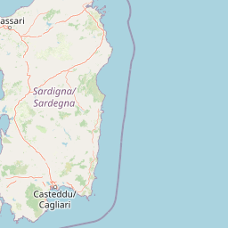
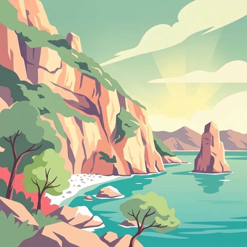
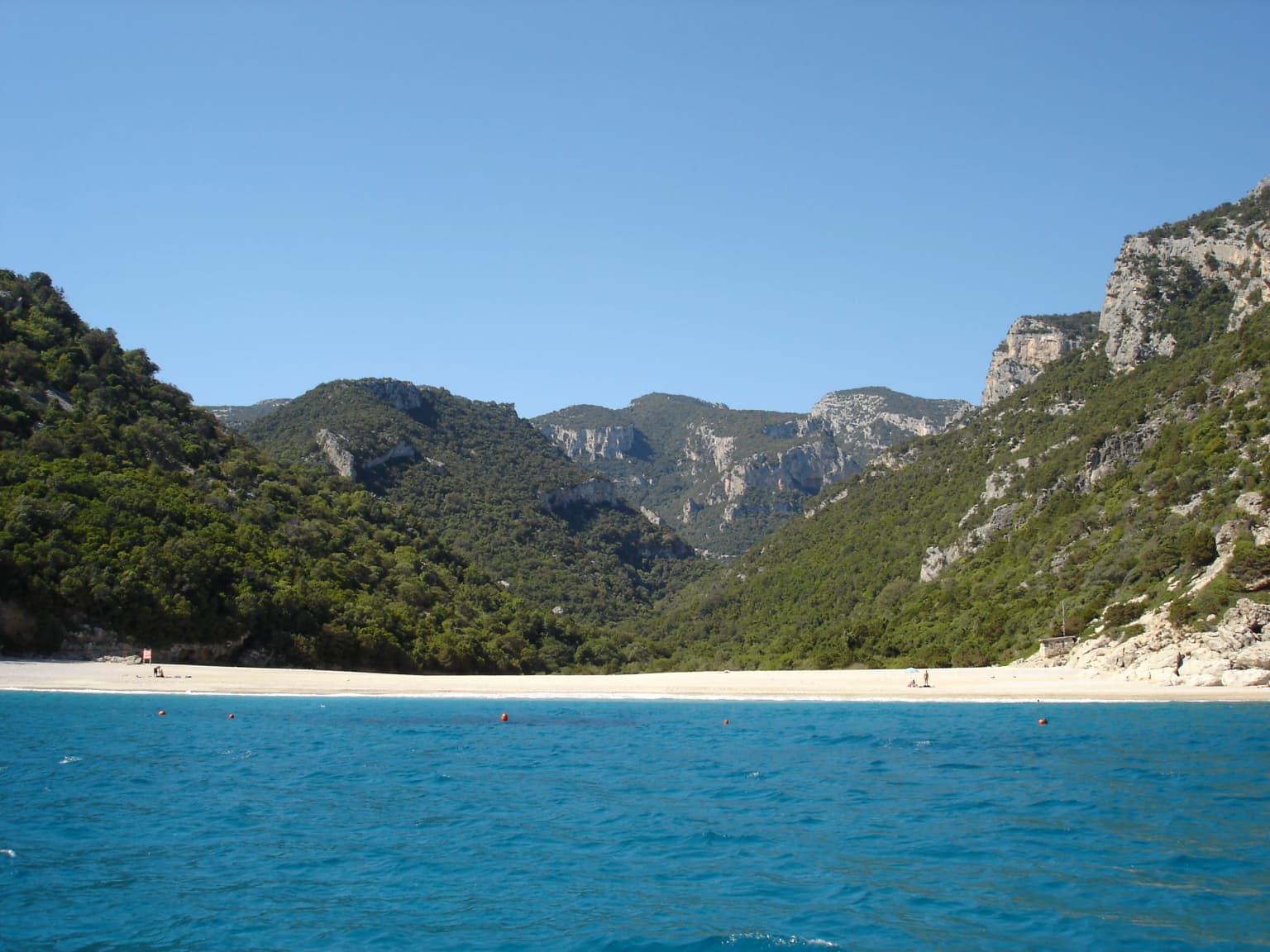
The park is best known for its extraordinary coastal scenery, particularly the dramatic limestone cliffs that line the Gulf of Orosei and the series of secluded calas (beaches) that dot the coastline. The Cala Luna, Cala Mariolu, and Cala Biriola beaches are among the most famous, accessible only by boat or along rugged hiking paths. The Supramonte karst landscape with its network of caves, including the famous Grotta del Bue Marino, represents another defining feature. The park also protects the Gennargentu mountain range, home to unique Mediterranean mountain ecosystems and wildlife including the Sardinian long-eared owl and Alpine newt.

National Park of the Gulf of Orosei and Gennargentu history and protected-area timeline

The park was formally established in 1998, designated to protect the exceptional natural and cultural values of Sardinia's eastern coast and interior mountains. The creation of the protected area followed decades of advocacy by environmental organizations and local communities concerned about the preservation of the region's wild landscapes. Prior to formal protection, the area had long been recognized for its outstanding natural beauty and ecological significance, though various pressures from development and resource extraction threatened its integrity. The park's establishment represented a recognition that the unique combination of coastal, marine, and mountain ecosystems found here warranted permanent protection. Management of the park focuses on balancing conservation objectives with sustainable tourism and traditional land uses that have shaped the landscape for generations.

National Park of the Gulf of Orosei and Gennargentu landscape and geographic character

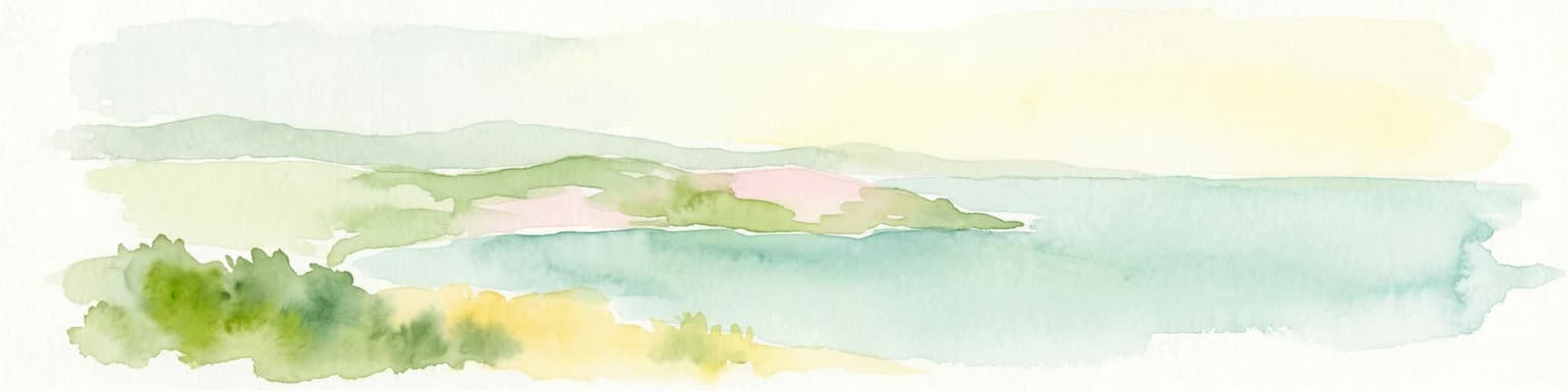
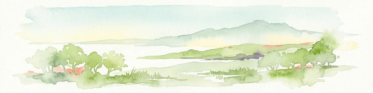
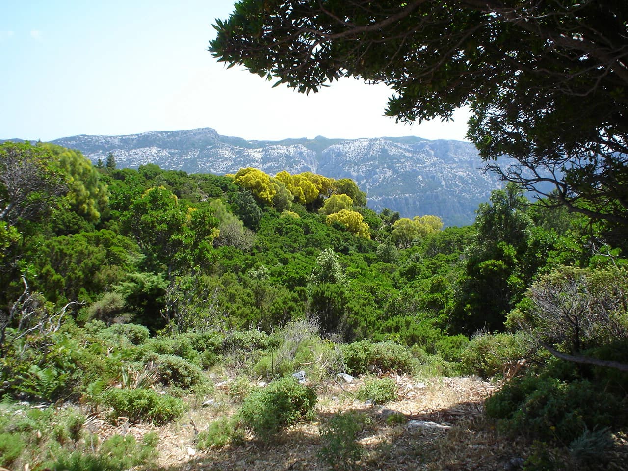
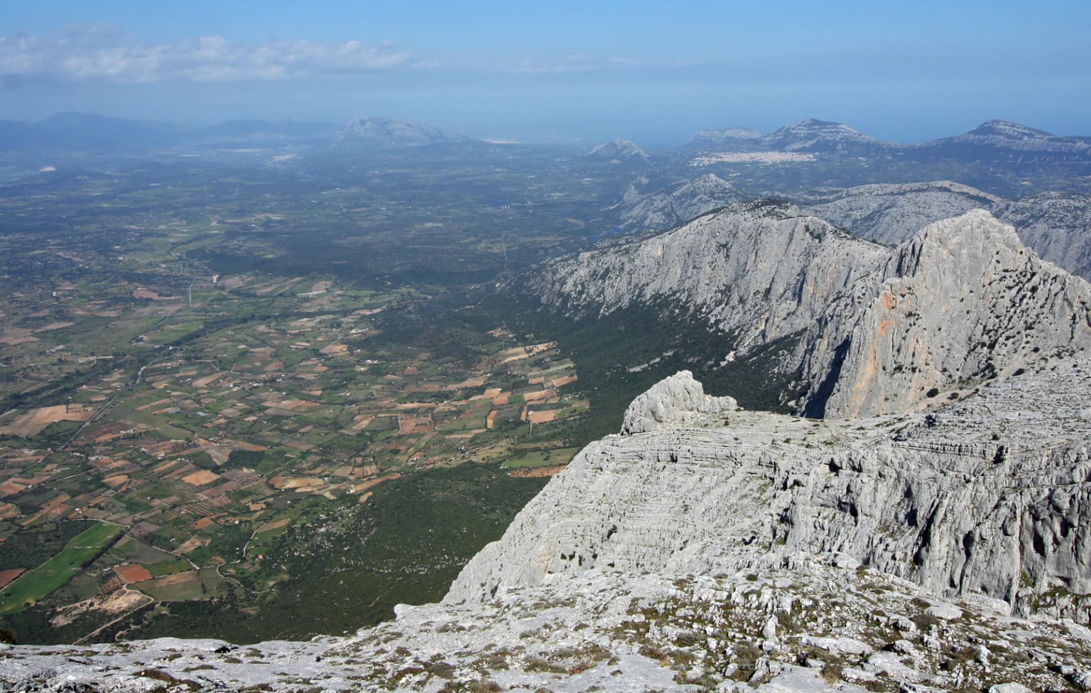
The park's landscape encompasses two distinct but connected worlds. Along the coast, towering limestone cliffs, some exceeding 300 meters in height, create one of the Mediterranean's most dramatic seascapes. These cliffs are punctured by numerous caves and sea arches, and their bases are strewn with boulders and pebbles washed by powerful waves. The beaches between the cliffs are typically small and secluded, composed of fine sand or characteristic white pebbles. The marine environment below the cliffs features exceptionally clear water and a rich underwater ecosystem. Moving inland, the terrain rises sharply into the Supramonte, a wild karst landscape of exposed limestone, deep ravines, and sparse vegetation. The Gennargentu mountains rise to over 1,800 meters, with rocky peaks, scree slopes, and small mountain lakes. The interaction between the limestone bedrock and water has created an extraordinary underground world of caves and sinkholes.

National Park of the Gulf of Orosei and Gennargentu ecosystems, habitats, and plant life

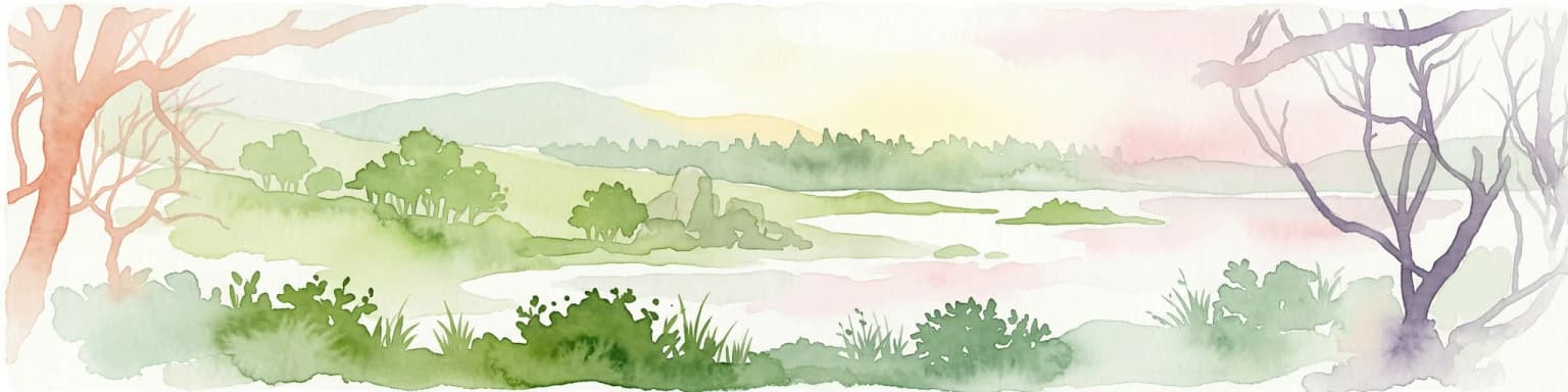
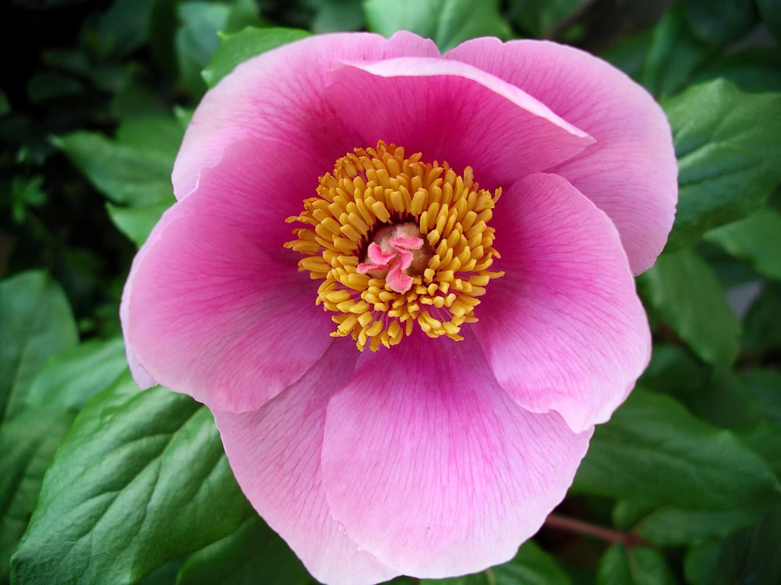
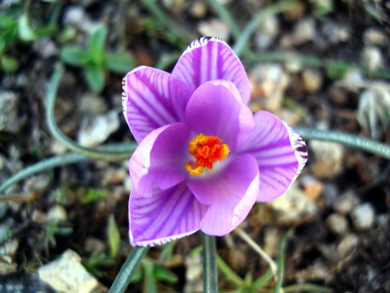
The park protects a remarkable diversity of Mediterranean habitats, from coastal marine environments through maquis shrubland to mountain grasslands. The coastal waters support important Posidonia oceanica seagrass meadows, critical for marine biodiversity and water clarity. The submerged caves and reefs provide habitat for diverse fish species, marine mammals, and invertebrates. On land, the maquis vegetation dominates the lower slopes, characterized by aromatic shrubs like rosemary, thyme, and cistus. Higher elevations feature oak forests and, on the highest peaks, unique Sardinian mountain grassland communities. The karst underground hosts specialized cave-dwelling organisms found nowhere else. The park sits at the crossroads of European and African biogeographic influences, resulting in a mix of species that includes both temperate and Mediterranean elements.

National Park of the Gulf of Orosei and Gennargentu wildlife and species highlights

The park supports a significant population of wildlife, including several species of conservation importance. Among the birds, the majestic golden eagle patrols the skies above the Gennargentu peaks, while the rare Sardinian long-eared owl inhabits the forests and maquis. The park's cliffs provide nesting sites for seabirds including the iconic Mediterranean shag and various storm-petrel species. The karst caves are important for bats, with several species using the underground spaces for roosting. The mammal community includes wild boar, red deer, and the Sardinian fox. The marine environment hosts regular visitors including dolphins and, occasionally, whales. The park's streams and freshwater springs support populations of the endangered Sardinian brook salamander and Alpine newt, species with very restricted distributions.

National Park of the Gulf of Orosei and Gennargentu conservation status and protection priorities

The park plays a crucial role in protecting Mediterranean biodiversity and preserving outstanding natural landscapes. The protected area encompasses several habitat types listed under European Union nature legislation, including coastal caves, Mediterranean maquis, and submontane forests. The marine component of the park, extending into the Gulf of Orosei, protects important seagrass communities and marine ecosystems that have suffered degradation elsewhere in the Mediterranean. The park also serves as a critical corridor connecting coastal and mountain ecosystems, allowing for species movement and genetic exchange. Management efforts focus on controlling invasive species, maintaining traditional land uses that support biodiversity, and regulating visitor access to sensitive areas.

National Park of the Gulf of Orosei and Gennargentu cultural meaning and human context

The park exists within a landscape shaped by centuries of human presence, though the extreme terrain has limited intensive development. Traditional pastoral activities have influenced the mountain areas, with shepherds moving their flocks between seasonal pastures according to ancient patterns. The coastal communities have historically relied on fishing and maritime activities, and small fishing villages dot the shoreline outside the core protected zones. Several significant archaeological sites lie within or adjacent to the park, including nuragic structures that testify to the island's prehistoric occupation. The relationship between the local communities and this dramatic landscape is reflected in the place names, legends, and cultural traditions of the region.

Top sights and standout views in National Park of the Gulf of Orosei and Gennargentu

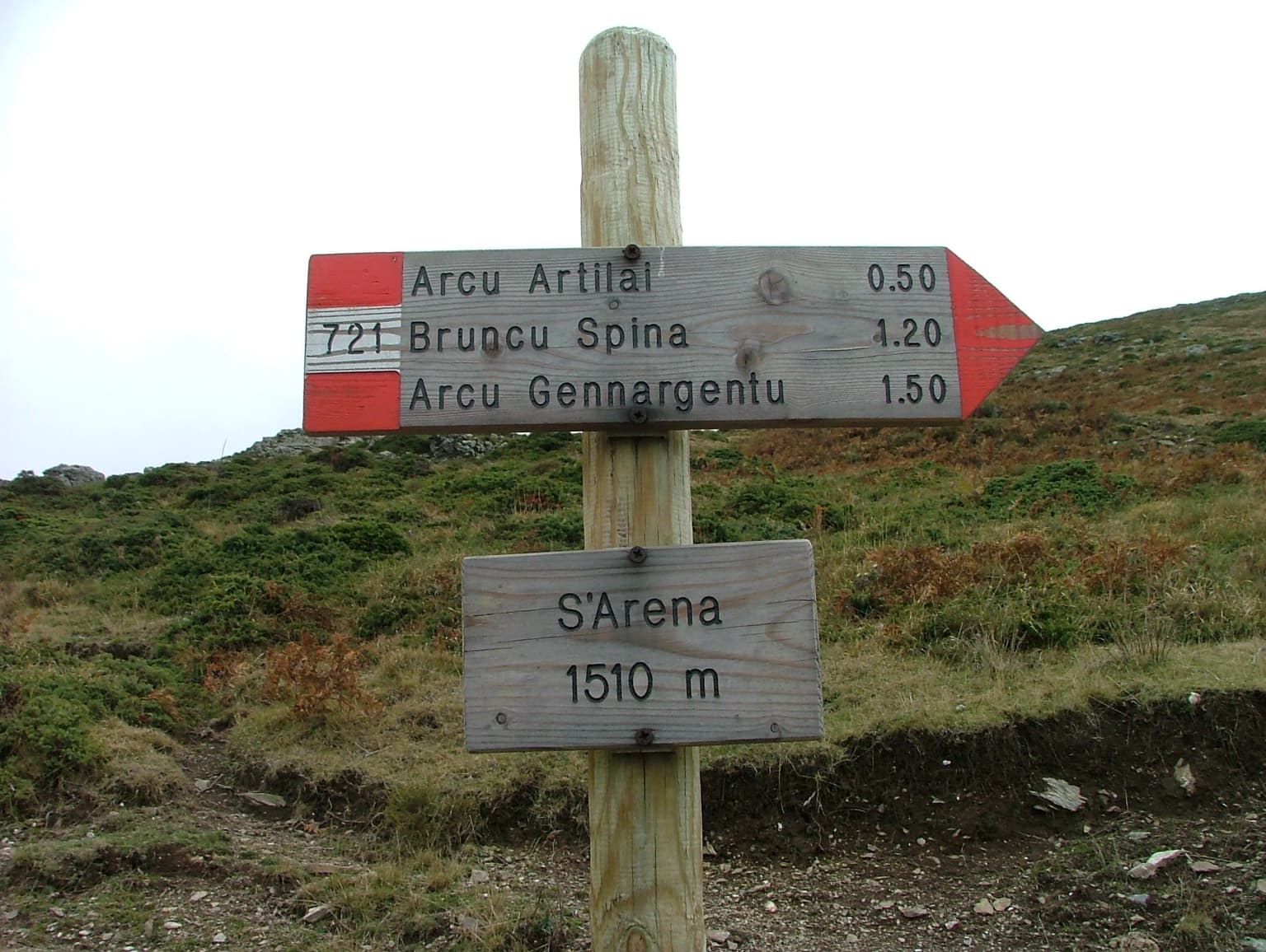
The park's most remarkable features include the spectacular cliff-lined coastline of the Gulf of Orosei, with its hidden beaches accessible only by boat or foot, the wild karst landscape of the Supramonte with its network of caves and gorges, and the imposing Gennargentu mountains containing Sardinia's highest peaks. The contrast between the azure coastal waters and the rugged mountain terrain creates an exceptionally scenic experience. The park offers outstanding opportunities for hiking, with trails ranging from coastal paths connecting secluded beaches to mountain routes across the Gennargentu massif. The underwater world is equally compelling, with clear waters, caves, and rich marine life.

Best time to visit National Park of the Gulf of Orosei and Gennargentu

The park can be visited year-round, though the most popular time is during the warm summer months from June through August when beach activities and coastal exploration are most appealing. Spring and autumn offer milder temperatures and fewer visitors, making them ideal for hiking and exploring the interior mountains. Winter brings cooler conditions but provides opportunities to experience the park's more tranquil side, though some facilities may have reduced hours. The summer months also bring the busiest period, particularly in August when Italian vacationers flock to the coast.

Park location guide

Geography guide, regional context, and park location map for National Park of the Gulf of Orosei and Gennargentu

National Park of the Gulf of Orosei and Gennargentu park geography, regions, and map view in Italy
Understand where National Park of the Gulf of Orosei and Gennargentu sits in Italy through a broader geographic reading of the surrounding landscape, nearby location context, and its mapped position within the national park landscape.

How National Park of the Gulf of Orosei and Gennargentu fits into Italy

Italy is a unitary parliamentary republic in Southern and Western Europe, located on the Italian Peninsula with the Alps to the north. It borders France, Switzerland, Austria, Slovenia, Vatican City, and San Marino, and shares maritime boundaries with several Mediterranean countries. The country has approximately 59 million residents and uses the Euro as its currency.

Wider geography shaping National Park of the Gulf of Orosei and Gennargentu in Italy

Italy occupies a boot-shaped peninsula in southern Europe, bordered by the Alps to the north. It shares land borders with France, Switzerland, Austria, Slovenia, Vatican City, and San Marino. The country includes the Mediterranean islands of Sicily and Sardinia, along with approximately 800 smaller islands.

Map view of National Park of the Gulf of Orosei and Gennargentu

Use this park location map to pinpoint National Park of the Gulf of Orosei and Gennargentu in Italy, understand its exact geographic position, and read its mapped placement within the surrounding landscape more clearly.

Pigeon | © OpenStreetMap contributors

Location context for National Park of the Gulf of Orosei and Gennargentu

Sardinia
Park atlas

Trace the geographic spread of national parks and protected landscapes within Sardinia, comparing diverse conservation zones.

Continue Park Discovery: Explore Nearby Protected Areas and Landscapes Around National Park of the Gulf of Orosei and Gennargentu
Explore a curated selection of national parks and protected areas geographically connected to the National Park of the Gulf of Orosei and Gennargentu, delving into Sardinia's diverse conservation efforts. Compare distinct coastal zones, rugged karst formations, and mountain protected landscapes across the island's unique regional geography.
National park

Arcipelago di La Maddalena National Park: An Italian National Park Defined by Archipelago Geography

Discover mapped protected boundaries and regional landscape context.

Arcipelago di La Maddalena National Park stands as a vital protected area within Italy, characterized by its distinctive archipelago geography. This national park offers a unique lens through which to explore mapped natural landscapes, understand protected land distribution, and contextualize its regional geographic significance. Dive into the detailed mapping of its protected territories to appreciate the full scope of this significant natural asset for structured atlas discovery.

Area
201.46 km²
Established
1994
IUCN
II
Relief
Lowland
Watercolor illustration of a coastal landscape with green hills, shoreline, and blue sea under a pale yellow sky
National parkSardinia

Asinara National Park: National Park Protected Landscape and Geographic Setting

Explore mapped terrain and protected area context within Sardinia.

Asinara National Park stands as a key protected landscape within the Italian national park system, located off the coast of Sardinia. This entry provides detailed geographic context, focusing on its mapped boundaries and the unique natural terrain that defines this island sanctuary. MoriAtlas facilitates a structured discovery of Asinara National Park, enabling users to understand its protected area status and its significant position within the broader regional geography of Sardinia for atlas exploration.

Area
51.7 km²
Established
1997
IUCN
II
Relief
Mixed relief
National parkTuscany

Arcipelago Toscano National Park: Protected Islands and Mediterranean Landscape Atlas

Explore Tuscany's unique archipelago geography and protected natural terrain.

Arcipelago Toscano National Park offers a unique perspective on Mediterranean island ecosystems through its comprehensive atlas and mapped landscape context. Covering seven main islands and surrounding marine areas off the coast of Tuscany, this park protects dramatic granite cliffs, endemic flora, and vital habitats for marine and avian life. Understand its geographic scope, protected boundaries, and the distinctive natural terrain that defines this significant Italian conservation landscape.

Area
746.63 km²
Established
1996
IUCN
II
Relief
Mixed relief
Watercolor painting of a landscape with trees, hills, and a body of water
National park

Port-Cros National Park: French Mediterranean Island National Park & Marine Sanctuary

Discover mapped protected land and unique Mediterranean ecosystems.

Port-Cros National Park offers a glimpse into a pioneering model of integrated terrestrial and marine conservation within the Mediterranean. This park protects a distinctive island geography marked by rugged terrain, endemic species, and vital underwater habitats, including crucial posidonia meadows and rich marine life. Through MoriAtlas, explore the mapped boundaries and ecological significance of Port-Cros, understanding its role as a vital protected landscape in the European atlas.

Area
46 km²
Established
1963
IUCN
II
Visitors
1M annual
Watercolor painting of a landscape with rolling hills, pink wildflowers, and scattered trees
National park

Pantelleria National Park: A Protected Landscape within Italy's Atlas

Mapped boundaries and regional geographic context.

Pantelleria National Park is a designated national park in Italy offering a distinct protected landscape for exploration. This page provides essential geographic context, highlighting the park's mapped boundaries and its significance within the regional atlas. Understand the terrain and protected land features that define this important natural area.

Area
66.4 km²
Established
2016
IUCN
II
Relief
Highland
National park

Abruzzo, Lazio and Molise National Park

Protected landscape in Italy's Apennines.

Explore the mapped boundaries and protected status of Abruzzo, Lazio and Molise National Park. This historic Italian national park offers a detailed look at Apennine mountain geography and landscape.

Established
1923
Watercolor illustration of a mountainous landscape with green hills, a valley with a river, and distant mountains under a pink and yellow sky
National parkCampania

Vesuvius National Park: Protected Volcanic Landscape in Campania, Italy

Explore mapped boundaries and regional geography.

Discover Vesuvius National Park, a vital protected area safeguarding Italy's iconic active volcano. This page provides essential geographic context, detailed mapped terrain, and insights into the park's unique volcanic landscape within the Campania region. It serves as a key entry point for understanding the park's protected status and its geological significance for structured atlas exploration.

Area
72.59 km²
Established
1995
IUCN
II
Relief
Mountain
National park

Gran Sasso and Monti della Laga National Park: Italy's National Park Geographic Context

Mapped protected areas and regional natural landscape details.

Delve into the geography of Gran Sasso and Monti della Laga National Park, a prominent national park in Italy. This resource provides essential context for understanding its protected landscape, mapped boundaries, and integration within the regional geography. Ideal for users seeking detailed atlas-style information on protected areas and their natural terrain, it serves as a foundational point for exploring the park's unique geographic character and landscape significance.

Common questions about visiting, size, designation, and location context for National Park of the Gulf of Orosei and Gennargentu

National Park of the Gulf of Orosei and Gennargentu FAQs for park facts, access, geography, and protected area context
Find quick answers about National Park of the Gulf of Orosei and Gennargentu, including protected-area facts, park geography, trail and visitor context, and how the park fits into its surrounding country and regional landscape.
MoriAtlas Explorer

Continue Your Protected Areas Search Across the Global Atlas

Deepen your exploration by continuing the structured search for national parks and protected areas worldwide. Utilize the comprehensive filtering capabilities to compare different conservation landscapes and refine your understanding of global park geography. Discover more about the distribution and characteristics of protected natural areas.

Global natural geography