
Why Ordesa y Monte Perdido National Park stands out
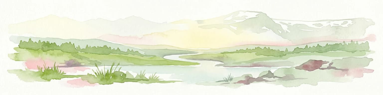
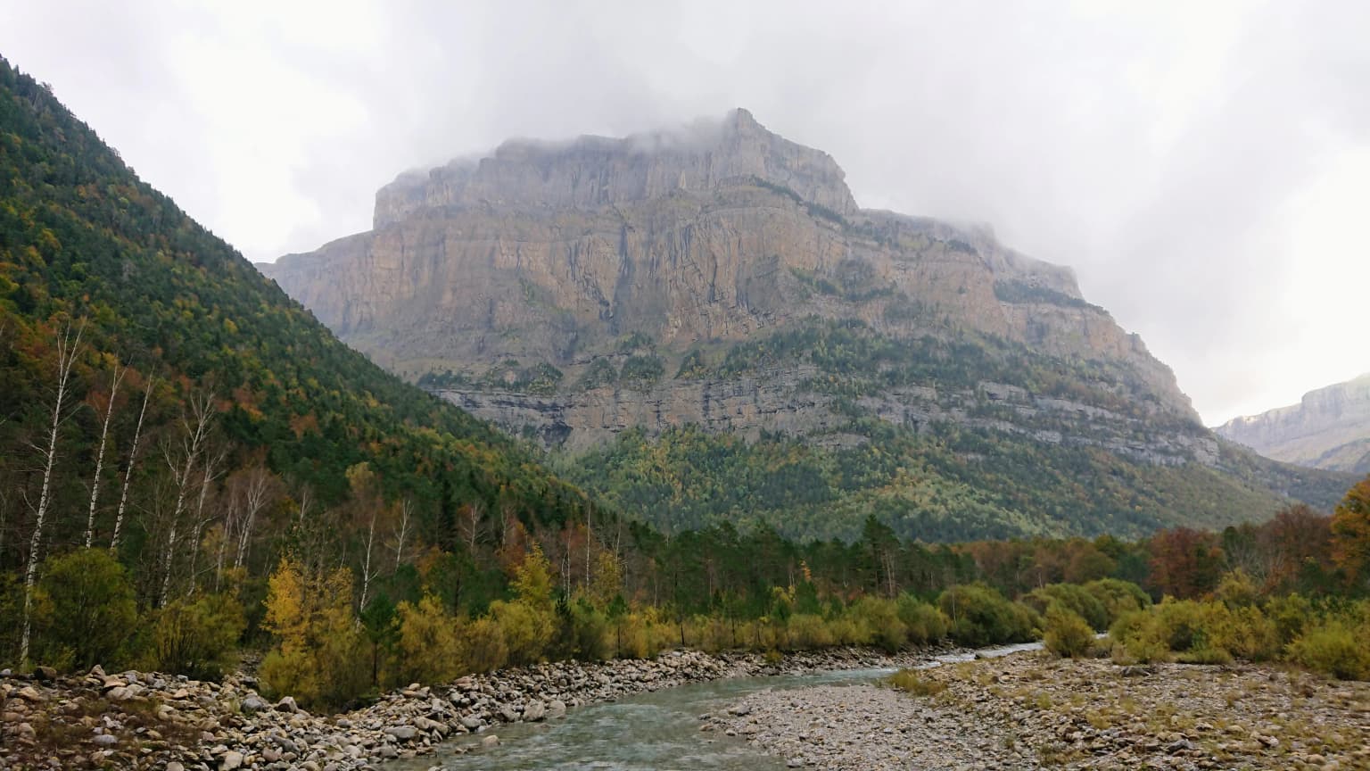
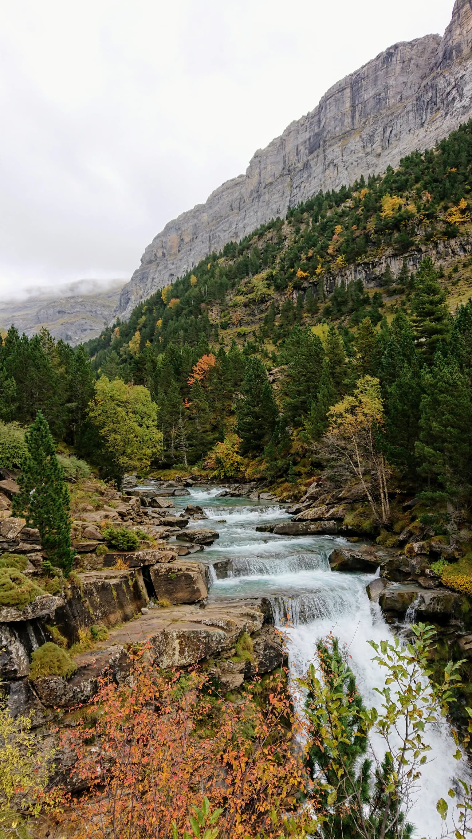
Ordesa y Monte Perdido is best known for its extraordinary glacial landscape, featuring dramatic U-shaped valleys, dramatic cirques, and towering limestone walls that rank among the most impressive in the Pyrenees. The park contains Europe's highest limestone massif at Monte Perdido, with its distinctive three sister peaks known as the Tres Sorores. The Ordesa Valley itself, with its cascading waterfalls, dense beech and fir forests, and sheer walls reaching over 300 meters, has been called the Paradise of the Pyrenees. The park also protects remarkable biodiversity, including numerous endemic plant species adapted to the karst cliffs and high meadows, and significant populations of raptors such as the bearded vulture, one of Europe's rarest and most impressive birds of prey.
Ordesa y Monte Perdido National Park history and protected-area timeline
The protection of Ordesa y Monte Perdido traces its roots to the late 19th and early 20th centuries, when naturalists and writers began drawing attention to the exceptional beauty and scientific value of the Ordesa Valley. Lucas Mallada, a pioneering Spanish geographer and naturalist, published a detailed description of the Ordesa Valley in 1878 that highlighted its outstanding natural values. Later, Lucien Briet and Soler i Santaló continued to promote the region and advocate for its formal protection. Their efforts culminated in the establishment of Spain's second national park on August 16, 1918, initially covering just 21 square kilometers centered on the Ordesa Valley. For decades, the park remained one of Spain's smallest protected areas, though its reputation for spectacular scenery continued to grow. On July 13, 1982, following years of advocacy for expansion, the park was significantly enlarged to its current 156.08 square kilometers, incorporating the surrounding valleys and higher mountain terrain, and officially renamed to reflect its expanded boundaries and the central importance of Monte Perdido. The park has since become one of Spain's most visited protected areas, receiving approximately 600,000 visitors annually.
Ordesa y Monte Perdido National Park landscape and geographic character
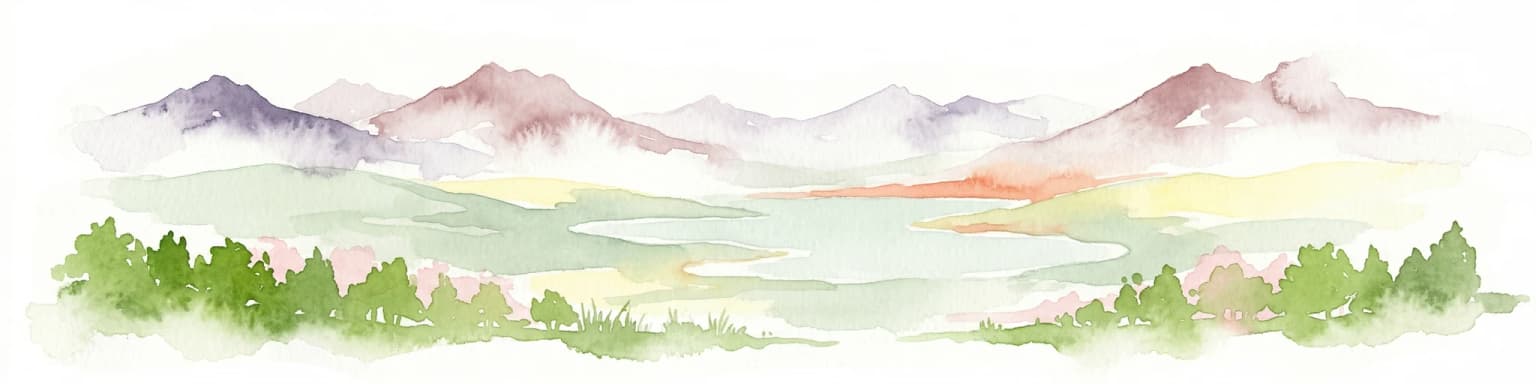
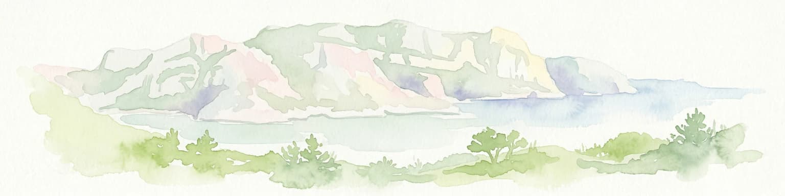
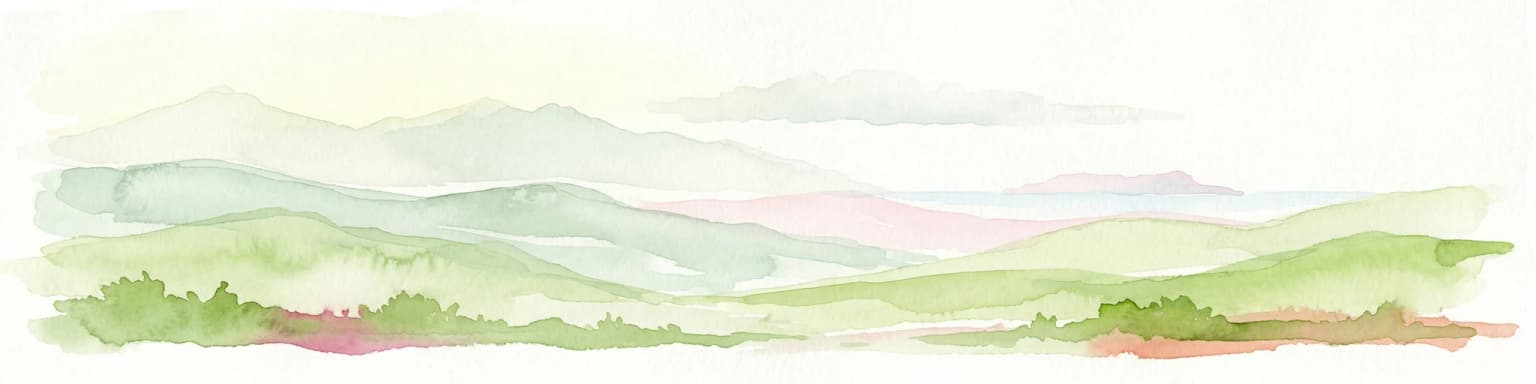
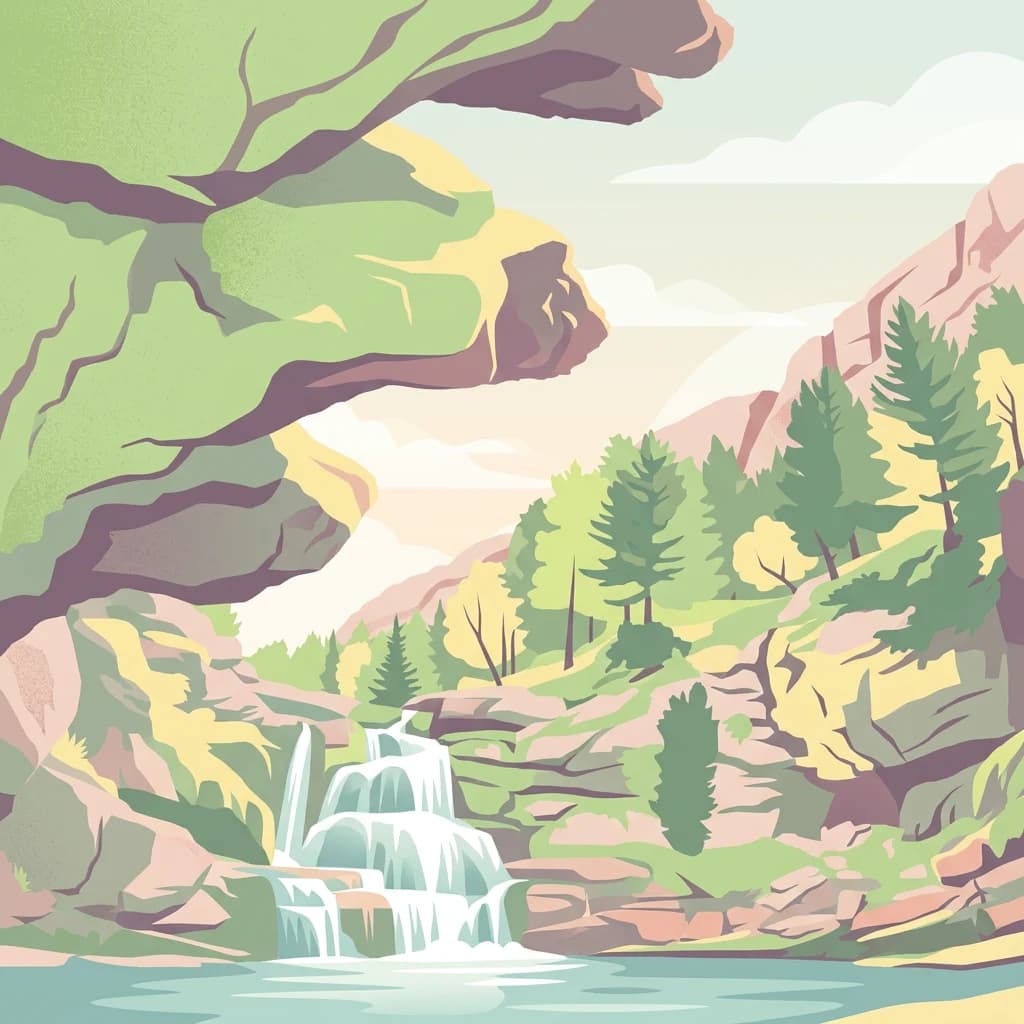
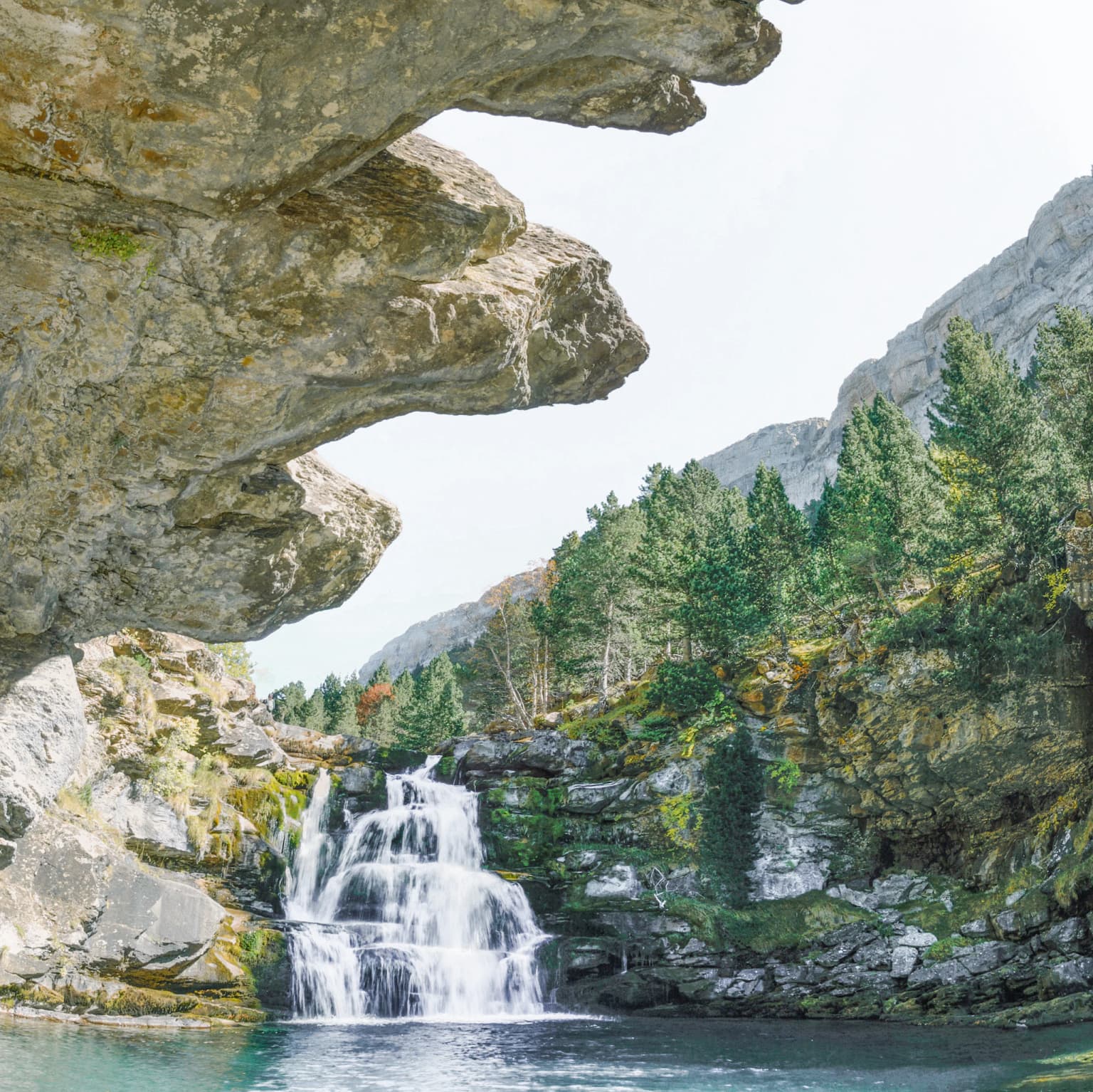
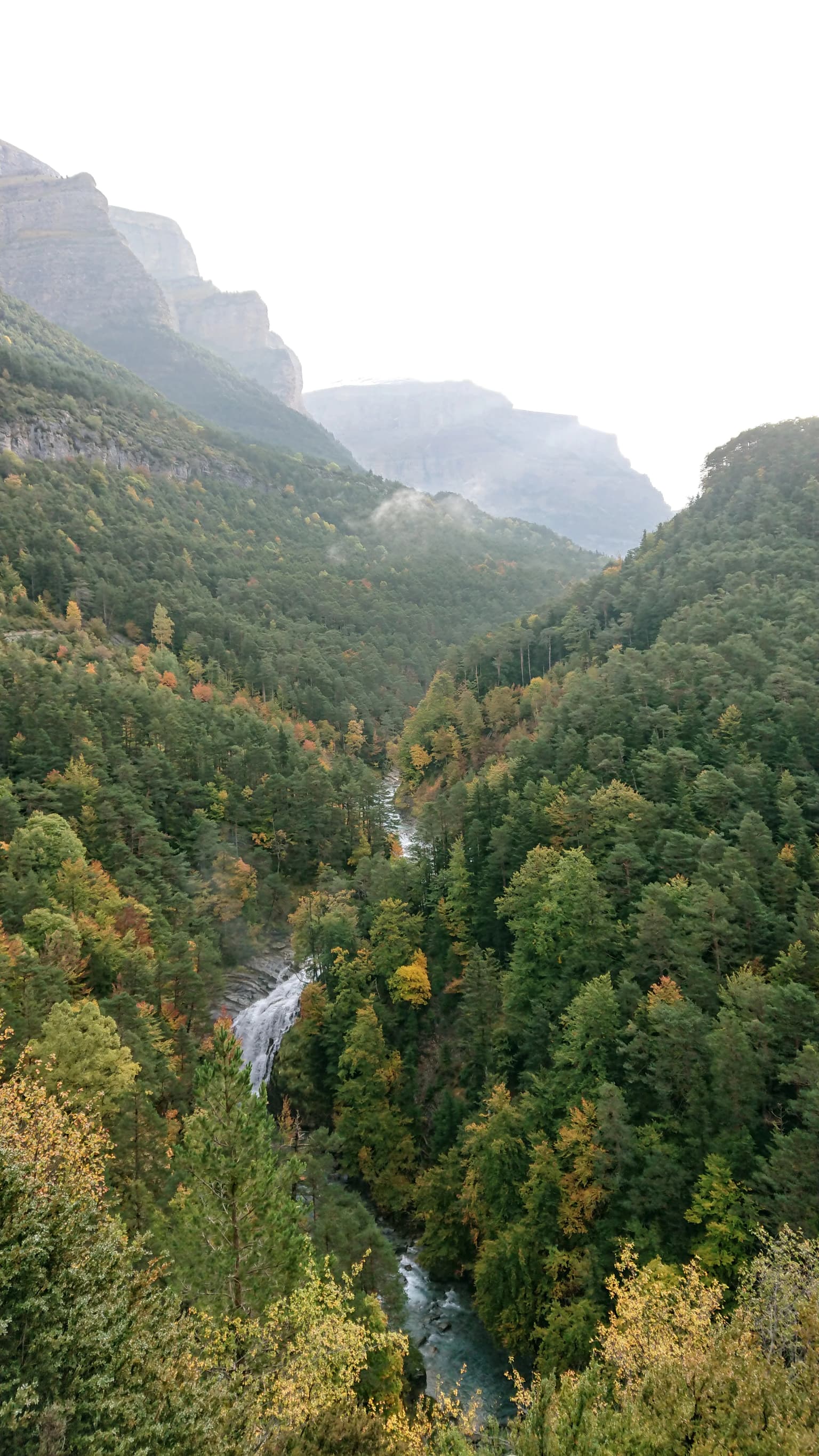
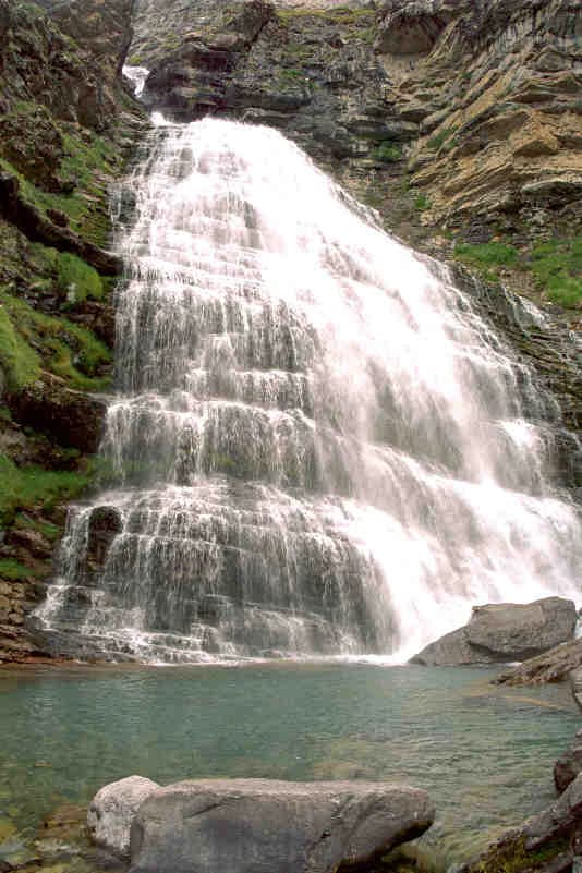
The landscape of Ordesa y Monte Perdido is defined by the interplay of limestone geology, glacial carving, and ongoing erosional processes that have created one of the most dramatic mountain environments in Europe. The Monte Perdido massif represents the highest and most complex limestone formation in Europe, a towering wall of rock that dominates the surrounding terrain. From its summit, spectacular ridges extend in all directions, separating the park's four main valleys. The most emblematic landscape feature is the series of glacial cirques—steep-walled amphitheaters carved by ancient glaciers—that occupy the head of each valley. Cirque de Soaso, Cirque de Cotatuero, and the Cirque of Soaso with its famous Cola del Caballo waterfall rank among the finest glacial amphitheaters in the Pyrenees. Between the valleys, the limestone walls rise in towering cliffs, with the north face of Monte Perdido and the Brecha de Roland (a famous notch in the ridge) providing particularly striking formations. The valley floors are carved by rivers—the Arazas in Ordesa, the Bellós in Añisclo, the Yaga in Escuaín, and the Cinca in Pineta—that have cut ever deeper gorges as they descend from the high mountains, creating a progression from open meadows to narrow, cliff-bound canyons. The highest terrain above 2,000 meters presents a starkly different character, where the limestone substrate absorbs nearly all precipitation into karstic drainage systems, creating an arid landscape of bare rock, cliff bands, and sparse alpine vegetation.
Ordesa y Monte Perdido National Park ecosystems, habitats, and plant life
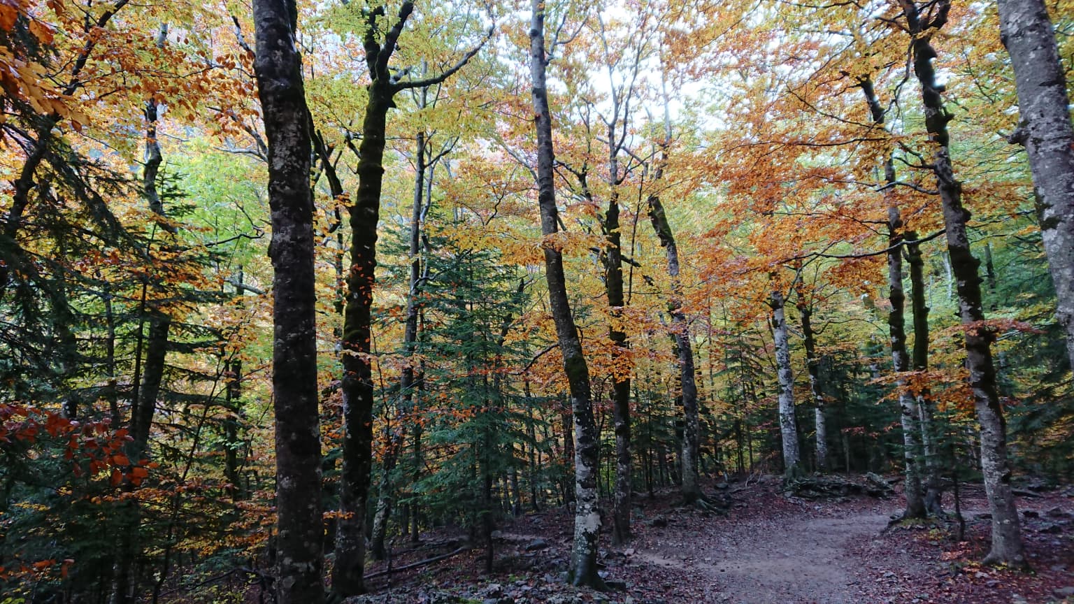
The ecological richness of Ordesa y Monte Perdido reflects its position at the convergence of Atlantic and Mediterranean climatic influences and its remarkable altitudinal range. The park contains approximately 1,400 plant species, representing nearly 45 percent of all flora found in the Aragonese Pyrenees, including 83 species endemic to the Pyrenees—half of all Pyrenean endemics. The vegetation follows a clear altitudinal zonation: beech forests dominate below 1,000 meters, mixed forests of beech, fir, and Scots pine occupy the montane zone to 1,700 meters, mountain pine forms the treeline woodland up to 2,000 meters, and alpine meadows and rocky habitats dominate above. The park is particularly notable for its cliff and karst flora, with numerous species uniquely adapted to the vertical limestone walls, including Borderea pyrenaica, Ramonda myconi, and various species of Campanula and Androsace. The edelweiss (Leontopodium alpinum), though more famous in the Alps, also occurs in the high Pyrenean meadows and has become a symbol of the park. The combination of forest cover, cliff habitats, grassland, and wetlands supports remarkable biodiversity across multiple taxonomic groups.
Ordesa y Monte Perdido National Park wildlife and species highlights
The wildlife of Ordesa y Monte Perdido reflects both the park's diverse habitats and its position as a bridge between European biogeographic regions. The mammalian fauna includes approximately 50 species, with the Pyrenean chamois (rupicapra) being among the most characteristic large mammals, with populations of around 700 individuals in the park. Other notable mammals include roe deer, wild boar, red deer (recolonizing from France), and the elusive Pyrenean desman, a semi-aquatic insectivore endemic to the Pyrenean region. The brown bear, though rare with only 25-32 individuals in the entire Pyrenean population, occasionally ventures into the park's most remote sectors. The avifauna is particularly impressive, with 153 species recorded, including significant populations of raptors. The bearded vulture, one of Europe's rarest and largest birds of prey, has found one of its strongestholds in the Pyrenees, while golden eagles, griffon vultures, and Egyptian vultures patrol the skies. The park's forests support species such as the capercaillie (with small and poorly known populations), Tengmalm's owl, and various woodpeckers. The Pyrenean frog and Pyrenean newt are among the amphibians adapted to the park's clean mountain streams.
Ordesa y Monte Perdido National Park conservation status and protection priorities
Ordesa y Monte Perdido holds exceptional conservation significance at multiple levels, from national to international. The park's multiple designations reflect its outstanding universal value: as a UNESCO World Heritage Site (inscribed in 1997 and extended in 1999 as part of the transboundary Pyrénées-Mont Perdu property), as a Biosphere Reserve since 1977, as a Special Protection Area for Birds under EU law since 1988, and as a Site of Community Importance within the Natura 2000 network. The UNESCO designation particularly recognizes the park as a cultural landscape where centuries of traditional transhumant pastoralism have shaped both the land and the surrounding communities, creating a harmonious integration of nature and human activity. The conservation challenges facing the park include managing visitor impacts from its approximately 600,000 annual visitors, addressing disease outbreaks affecting chamois populations, and monitoring the impacts of climate change on alpine ecosystems. The park participates in the GLORIA international research network for monitoring alpine flora responses to climate change.
Ordesa y Monte Perdido National Park cultural meaning and human context
Ordesa y Monte Perdido sits within the historical and cultural landscape of the Sobrarbe region of Aragon, an area with deep roots in pastoral traditions and mountain village life. The six municipalities that encompass the park—Broto, Bielsa, Fanlo, Puértolas, Tella-Sin, and Torla-Ordesa—represent communities whose economies and identities have been shaped by the rhythms of transhumant pastoralism. While the park itself has been protected from most human activities for over a century, the surrounding landscape reflects generations of interaction between local communities and the mountain environment. The cultural dimension of the park's significance is recognized in its UNESCO World Heritage inscription, which explicitly acknowledges the Pyrenean cultural landscape of pastoralism as part of the property's outstanding universal value. The Brecha de Roland, a famous notch in the mountains, carries both geological and cultural significance, while traditional village structures and pastoral infrastructure in the surrounding areas provide context for understanding the park's place in the broader regional cultural landscape.
Top sights and standout views in Ordesa y Monte Perdido National Park
The most compelling highlights of Ordesa y Monte Perdido include the dramatic glacial scenery of its cirques and valleys, with the Cola del Caballo waterfall in the Cirque de Soaso standing as perhaps the park's most recognizable icon. The towering limestone walls of Monte Perdido and the surrounding massifs create one of Europe's most impressive mountain silhouettes. The ecological contrast between the lush, forested valley floors and the stark, karst-dominated high terrain offers remarkable visual diversity within a relatively compact area. The presence of the bearded vulture, Europe's rarest vulture species, provides a wildlife experience that draws ornithologists and nature enthusiasts from across the continent. The park's trail network, particularly the classic footpath through the Ordesa Valley, offers accessible immersion in this spectacular landscape, while the variety of valleys provides options for different levels of challenge and exploration.
Best time to visit Ordesa y Monte Perdido National Park
The optimal time to visit Ordesa y Monte Perdido depends on what visitors hope to experience. Summer (July through September) offers the most reliable access to high-elevation trails and the warmest conditions in the valley floors, though this is also the peak visitor season. Late spring and early summer bring lush green vegetation and abundant flowers, while early autumn offers pleasant temperatures, fewer crowds, and the changing colors of the deciduous forests. Winter transforms the park into a stark alpine landscape, though snow and ice limit access to many trails, and the valley floor remains accessible for winter hiking. The shoulder seasons of May-June and September-October often provide the best balance of favorable weather, accessible trails, and manageable visitor numbers. The park's high-elevation terrain can experience rapid weather changes and significant temperature variations between valley and summit, requiring appropriate preparation regardless of season.