
Geographic mapping of diverse terrain, water, and forest features within national boundaries
Comprehensive Atlas of Natural Features and Protected Landscapes Across Latvia
This collection maps the named natural features associated with parklands and protected zones throughout Latvia. By analyzing the intersection of specific natural landmarks and regional conservation areas, users can visualize the geographic distribution of water, forest, and coastal terrain features across the national landscape.
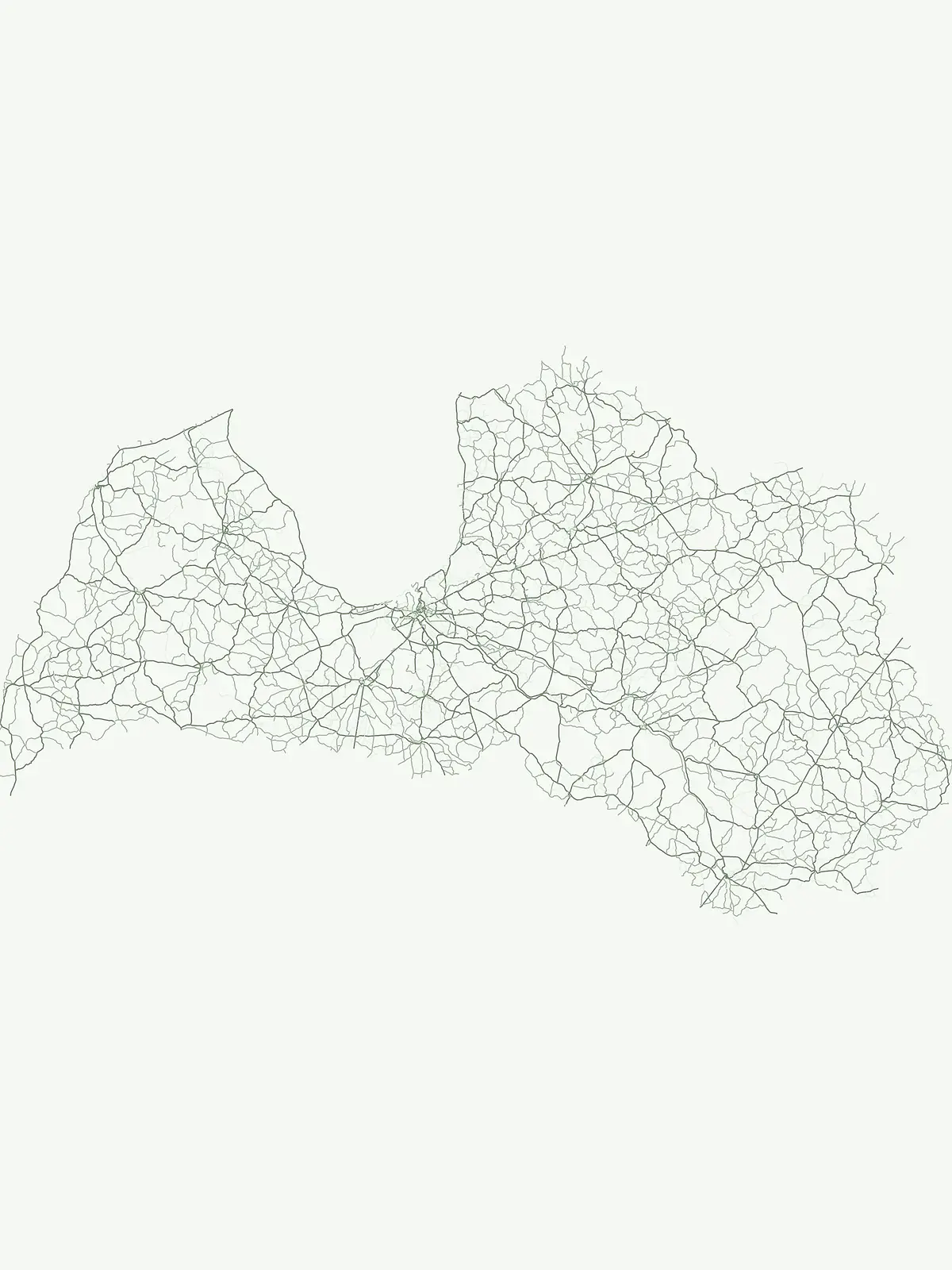
Trace diverse landforms, river networks, and coastal formations within Baltic park boundaries
Named Natural Features and Landmark Geography in Latvia Protected Areas
Mapped river systems within Latvian protected areas
Rivers
Discover documented rivers flowing through the natural terrain and park boundaries of Latvia. This index provides a structured way to observe watercourse systems, tributaries, and channel dynamics as they intersect with significant protected lands throughout the country.
Mapping inland basins across the Latvian landscape
Lakes
Navigate the inland lakes of Latvia through a structured geographic lens. This resource provides information on individual basins, identifying their place within regional park boundaries and broader natural terrain, offering a clear view of how these water bodies shape the country's physical geography.
Hydrological terrain and watercourse distribution
Streams
Trace the path of streams within protected areas across Latvia, highlighting the essential role these watercourses play in shaping local geography. This collection offers a structured overview of riparian features and their integration into the broader natural terrain of the Baltic region.
Coastal feature mapping and regional park geography
Bays
Analyze the spatial distribution of bays across Latvia, focusing on the intersection of curved maritime inlets and surrounding natural territories. This collection offers a clear geographic perspective on how these water bodies anchor the regional topography within a wider framework of national protected areas and coastal wilderness zones.
Geographic catalog of karst and erosion sites in Latvia.
Cave entrances
This collection serves as a focused resource for tracking cave entrance locations identified within Latvian protected areas. Each entry highlights the surface manifestation of subterranean systems, providing context on how these karst openings and erosional features are distributed across the national landscape.
Geographic analysis of cliff features in Latvian protected landscapes
Cliffs
Access a structured inventory of cliffs located within protected zones in Latvia. The collection provides insight into the terrain orientation and physical characteristics of these steep rock faces, allowing for regional analysis of geological features tied to specific protected environments.
Continue Exploring Latvia's National Parks and Protected Landscapes Geographically
Deepen your understanding of Latvia's natural heritage by continuing to browse its protected territories. This country-level park list serves as a foundation for exploring the unique geography, mapped boundaries, and regional context of each national park and protected landscape across Latvia, offering an atlas-driven approach to discovery.