Mori Atlas logo
National parkSlītere National Park

Discover the unique Blue Hills, ancient shorelines, and dynamic bird flyways of this Baltic protected area.

Slītere National Park: Latvia's Coastal Protected Landscape and Bird Migration Corridor

(Slīteres nacionālais parks)

Slītere National Park, Latvia's smallest national park, offers a unique window into coastal geography and protected landscape dynamics. Established on the Courland Peninsula, it showcases the remarkable Zilie Kalni (Blue Hills), an ancient geological formation that once marked the Baltic Ice Lake's shoreline. This protected area, covering significant land and marine territory, is defined by its distinctive dune systems, wetland habitats, and rich broadleaf forests, providing a vital context for understanding Latvia's natural heritage and the broader Baltic geography. Explore the mapped boundaries and landscape features of this significant conservation area.

Coastal landscapeBird migrationBroadleaf forestDune systemsBaltic SeaLivonian heritage
Stylized illustration of a coastal area featuring a sandy beach, forested shoreline, body of water, and distant cliffs under a light sky

Slītere National Park

National park

Park overview

Structured park overview, official facts, and landscape profile for Slītere National Park

Slītere National Park park facts, protected area profile, and essential visitor context
Review the core facts for Slītere National Park, including designation, size, terrain, visitor scale, habitats, and operating context in one park-focused overview.

About Slītere National Park

Slītere National Park occupies a geographically significant position at the northwestern edge of Latvia, where the Courland Peninsula extends into the Baltic Sea. The park's territory centers on Cape Kolka, a prominent headland that separates the Bay of Riga from the open Baltic Sea and marks the southern entrance to the Irbe Strait. This coastal setting has shaped both the park's natural character and its human history, as the Livonian Coast within the park boundaries has been inhabited by fishing communities for centuries.

The park's landscape showcases a remarkable diversity of coastal and terrestrial environments. The Zilie Kalni (Blue Hills) rise as the park's most recognizable geological feature, their formation dating back to the era when they served as the ancient shoreline of the Baltic Ice Lake. The underlying geological history extends even further back, approximately 40 million years to a period when the region experienced subtropical climates, a legacy preserved in fossilized amber that continues to wash ashore after storms stir the seabed sediments.

Beyond the Blue Hills, the park contains extensive dune systems characterized by the Latvian terms "kangari" (dunes) and "vigas" (inter-dune depressions), which create a complex wetland habitat with interspersed bogs. Approximately 30% of the park remains under coniferous forest cover, while the broader landscape supports a mosaic of wetlands, meadows, and coastal habitats. The small Irbe River traverses the park, its brown moor waters continuously reshaping the sandbanks at its estuary as it carries sediments toward the Baltic Sea.

The park's significance extends beyond its natural features to encompass the cultural heritage of the Livonian Coast. Traditional fishing villages including Vaide, Saunags, Pitrags, Sīkrags, Mazirbe, Košrags, Kolka, and Uši dot the coastline, representing communities that have maintained Livonian identity and maritime traditions through generations.

Quick facts and research context for Slītere National Park

Slītere National Park is situated in Talsi Municipality in the Courland region of Latvia, at the tip of the Courland Peninsula around Cape Kolka. As Latvia's smallest national park, it covers roughly 265 square kilometers including both terrestrial and coastal marine areas. The park is noted for the Zilie Kalni (Blue Hills), an ancient geological feature formed by the Baltic Ice Lake, and extensive dune-and-bog complexes characteristic of the Baltic coastal landscape. Established in 2000 based on the older Slītere Nature Reserve from 1923, the park also holds recognition as a NATURA 2000 site since 2004. The Livonian Coast running through the park preserves traditional fishing communities and represents an important cultural dimension to the protected area.

Park context

Deeper park guide and search-rich context for Slītere National Park

Slītere National Park history, landscape, wildlife, and travel context
Explore Slītere National Park through its history, landscape character, ecosystems, wildlife, conservation priorities, cultural context, and seasonal travel timing in a structured park guide built for atlas discovery and search intent.

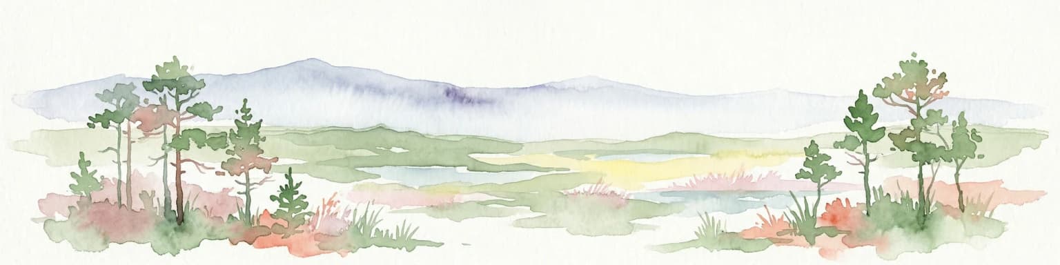
Why Slītere National Park stands out

Slītere National Park is best known for its exceptional birdwatching opportunities along the Baltic migratory flyways, where observations of up to 60,000 birds per hour have been recorded during peak migrations at Cape Kolka. The park's signature landscape feature is the Zilie Kalni (Blue Hills), a distinctive geological formation that supports rich broadleaf forests on the ancient Baltic Ice Lake shoreline. The park also contains unique dune and bog complexes called kangari and vigas, which create a specialized habitat mosaic found nowhere else in Latvia. Additionally, the park protects critical grey seal nurseries along its Baltic coast, representing the most southerly location for this species worldwide.

Aerial view of a landscape with green fields, dense forests, several houses, and dirt roads under a bright blue sky with scattered clouds
Aerial view of Slītere National Park showing forests, fields, and rural structures under a clear blue sky

Slītere National Park history and protected-area timeline

The protected status of Slītere dates to 1923 when the area was first designated as the Slītere Nature Reserve, or "aizsargu mežs" (protective forest), covering approximately 1,100 hectares. At the time of its establishment, this represented the largest nature reserve among the protected areas in Latvia. The reserve maintained this status until 1977, when the Latvian Soviet Socialist Republic Council of Ministers issued Decision No. 241, creating the Slītere State Reserve with an expanded territory of 15,037 hectares.

Following the restoration of Latvia's independence and the establishment of the Ministry of Environmental Protection and Regional Development, the administration of the State Reserve transitioned to state oversight. In 2000, a new law established Slītere National Park, increasing the protected area to approximately 16,360 hectares of land and 10,130 hectares of marine waters. A subsequent law passed in 2015 adjusted the boundaries, removing the marine territory from the national park designation while maintaining terrestrial protection. The current land area measures 16,414 hectares following precise surveying.

In 2004, Slītere National Park was incorporated into the NATURA 2000 network of European significance protected areas, recognizing its contribution to conservation of habitats and species protected under European Union directives. The park is managed by the Nature Conservation Agency (Dabas aizsardzības pārvalde), with the regional administration and park's nature center located in the Slītere forest district.

Slītere National Park landscape and geographic character

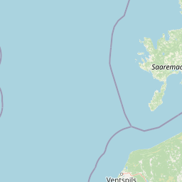
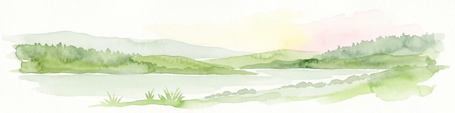
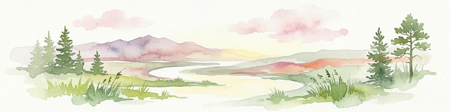
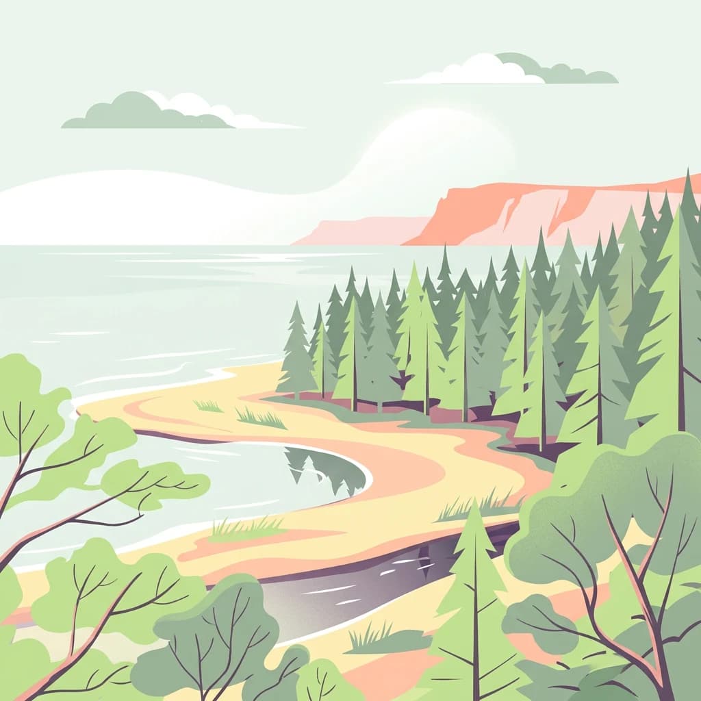
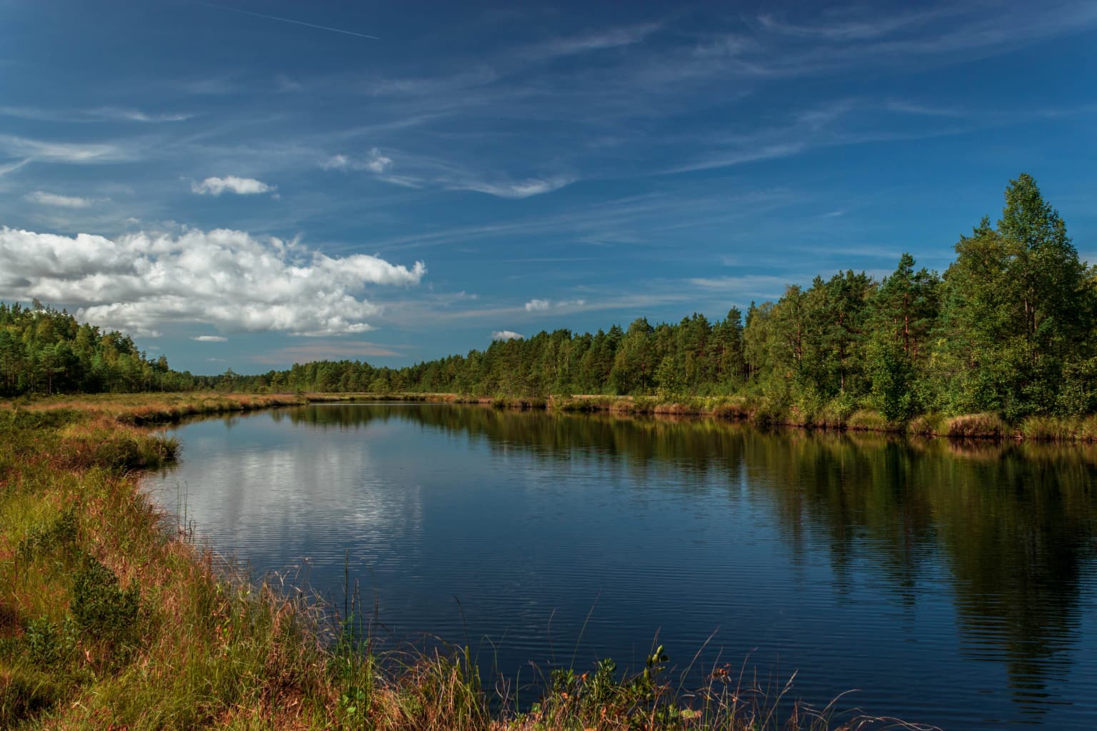
The physical landscape of Slītere National Park is defined by its coastal position on the Courland Peninsula and the geological legacy of the Baltic Sea's development. The most prominent feature is the Zilie Kalni, or Blue Hills, which form a recognizable ridge along the former shoreline of the Baltic Ice Lake. These hills create a distinctive backdrop to the coastal scenery and support the park's most extensive broadleaf forest coverage.

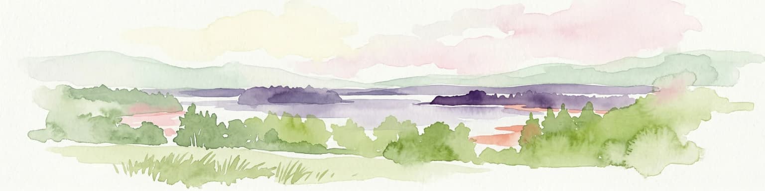
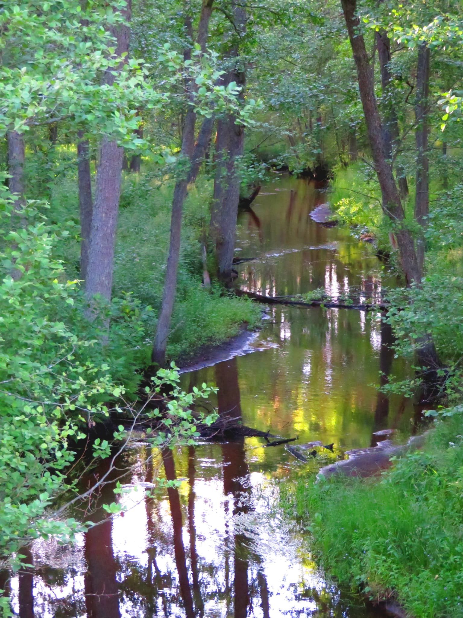
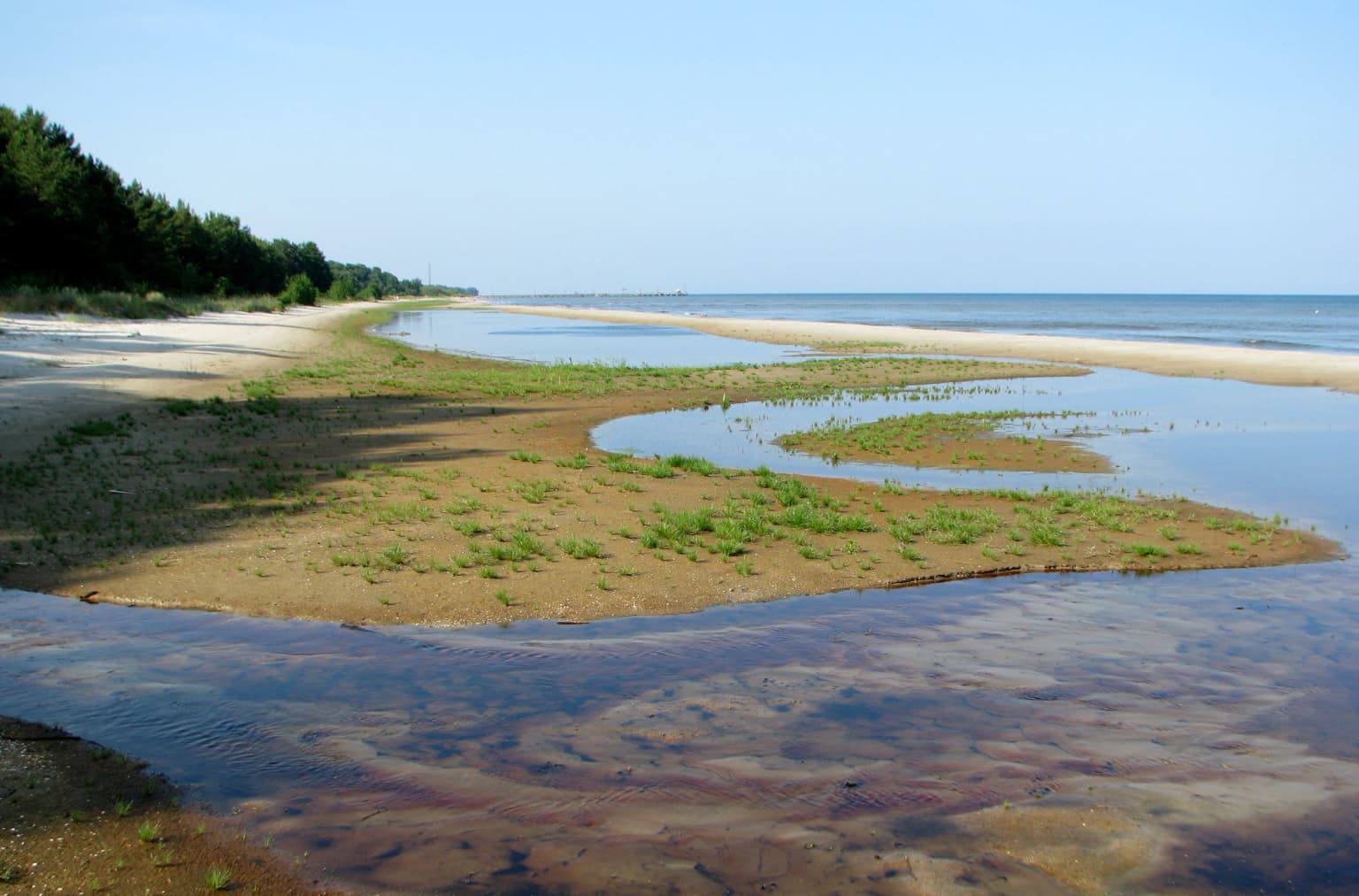
The terrain descends from the Blue Hills through a series of slopes and moraine landscapes toward the Baltic Sea and the Bay of Riga. The coastal zone features a sand beach along the open Baltic coast, while the eastern shoreline along the Bay of Riga and Irbe Strait presents different coastal character with varying sediment types. Small watercourses including the Irbe River, Mazirbe (26 kilometers in length), and Pitragupe (11 kilometers) flow through the park, originating from springs and streams in the ancient Baltic Ice Lake terrace and emptying into the Baltic Sea.

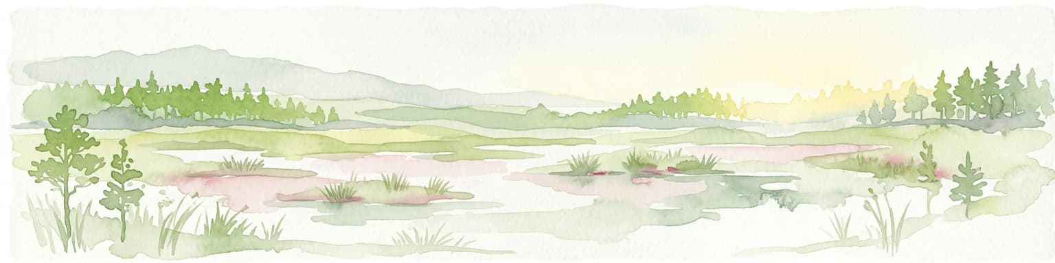
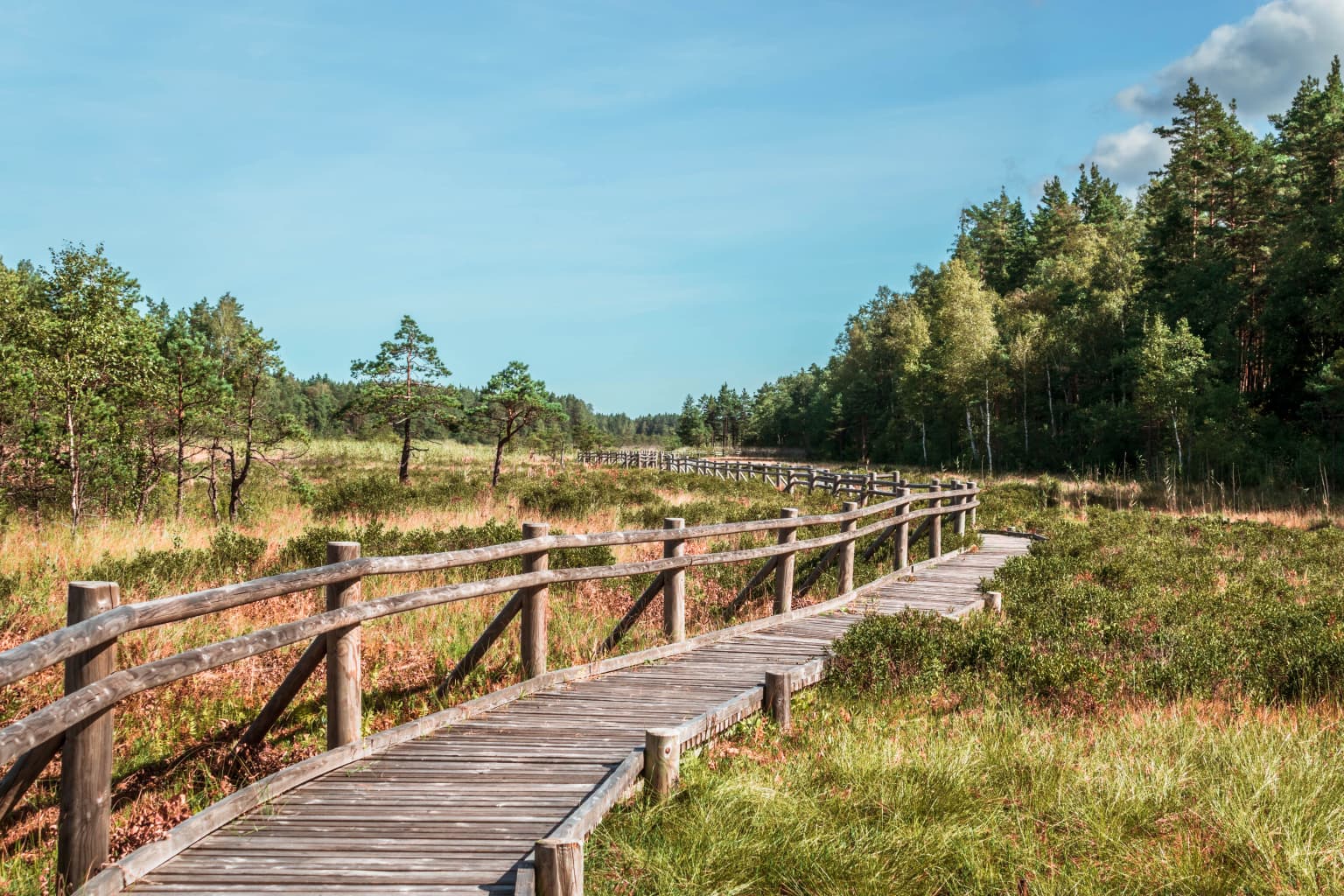
The park contains several notable lakes, including Lielais Pēterezers and Mazais Pēterezers in the Pēterezera vaga depression, with a third small lake of 0.5 hectares at the eastern end of the same depression. Near Košrags, the Pižezers covers approximately one hectare. The landscape also includes the Bažu peat bog, an elevated moss bog representing the wetland systems scattered throughout the park's 20% bog coverage.

Wooden boardwalk trail with wooden railings running through a grassy meadow with scattered trees and forest in the background
Wooden boardwalk trail through grassy meadow and forest in Slītere National Park

Slītere National Park ecosystems, habitats, and plant life

The ecological character of Slītere National Park reflects the diversity of its coastal and terrestrial habitats. The broadleaf forests that blanket the Blue Hills represent the park's most distinctive vegetation, hosting species characteristic of temperate forests. Approximately 70% of the park is covered by forest, with about 30% being coniferous and the remainder supporting the valuable broadleaf stands.

The dune and bog complexes known as kangari and vigas create a specialized habitat mosaic unique to the Baltic coastal region. These inter-dune wetlands support plant communities adapted to fluctuating water levels and provide important ecological functions. The park's position at a climatic and geographical transition zone contributes to its biodiversity significance, with the coastal maritime influence creating conditions that support species at the edges of their geographic ranges.

The botanical diversity is remarkable: 894 species of flowering plants and ferns have been recorded, representing 46.7% of Latvia's flora, while 313 bryophyte species account for 59% of Latvia's bryoflora. Of these, 29 plant and bryophyte species are found nowhere else in Latvia. The park also supports 200 lichen species and 738 fungus species, with numerous rare and protected designations among all these groups. The emblematic species of the park include Baltic ivy and common yew, which grow primarily in the Blue Hills and their forested slopes.

Aerial view of a red lighthouse surrounded by dense green forests with open meadows and small buildings under a partly cloudy sky
Aerial view of Slītere National Park featuring a red lighthouse amidst forested fields and open meadows under a partly cloudy sky

Slītere National Park wildlife and species highlights

Slītere National Park supports significant wildlife populations across its diverse habitats, with particular renown as a birdwatching destination. The park lies directly along the Baltic migratory flyways, positioning it as one of the most important bird migration corridors in Latvia. During spring and autumn migrations, hundreds of thousands of birds pass through the area, with peak observations recording up to 60,000 birds per hour at Cape Kolka during active migration periods.

The coastal shoreline serves as a critical stopover habitat for species like the bar-tailed godwit, which pauses at Slītere during its autumn migration from northern tundra regions to southern latitudes. The great grey owl migrates to the park from Russia during winter months. In total, 261 bird species have been recorded in the park, with 135 confirmed as breeding species, and 37 of these holding protected status in Latvia.

The mammalian fauna includes the grey wolf, Eurasian lynx, and moose, representing the larger predators and herbivores typical of Baltic forests. The coastal waters support marine mammals including the grey seal, which establishes nursery colonies along the frozen Baltic coast in winter—this represents the most southerly location for this species globally, with the rarer ringed seal occasionally observed. The park's invertebrate fauna is exceptionally diverse due to the high variety of plant communities and habitat types, with 111 rare invertebrate species recorded, many representing the only known populations in Latvia.

A narrow stream surrounded by tall trees with green foliage reflecting in the water
Ķikans stream flowing through dense forest in Slītere National Park

Slītere National Park conservation status and protection priorities

Slītere National Park holds significant conservation importance at both national and European levels. The park's inclusion in the NATURA 2000 network since 2004 recognizes its contribution to preserving habitat types and species of European conservation concern. The diverse habitats—ranging from broadleaf forests and dune systems to coastal wetlands and marine areas—support numerous species with protected status.

The conservation significance is particularly pronounced for the park's plant communities, with 88 specially protected plant species, 53 protected bryophytes, and 21 protected lichens recorded within its boundaries. The Blue Hills area specifically concentrations rare species, including several that reach the eastern edge of their distribution ranges within the park. The coastal ecosystems provide critical habitat for grey seals, whose presence represents a conservation priority given the species' limited breeding distribution.

The park operates under a zonation system that allocates areas to different protection levels: strict protection zones preserving unmodified ecosystems, regulated use zones protecting specific habitats like the Bažu bog, nature reserve zones for rare species habitats, landscape protection zones maintaining the coastal forest character, and neutral zones accommodating human settlement and infrastructure. This management framework balances ecological protection with sustainable human use across the park's varied landscapes.

Slītere National Park cultural meaning and human context

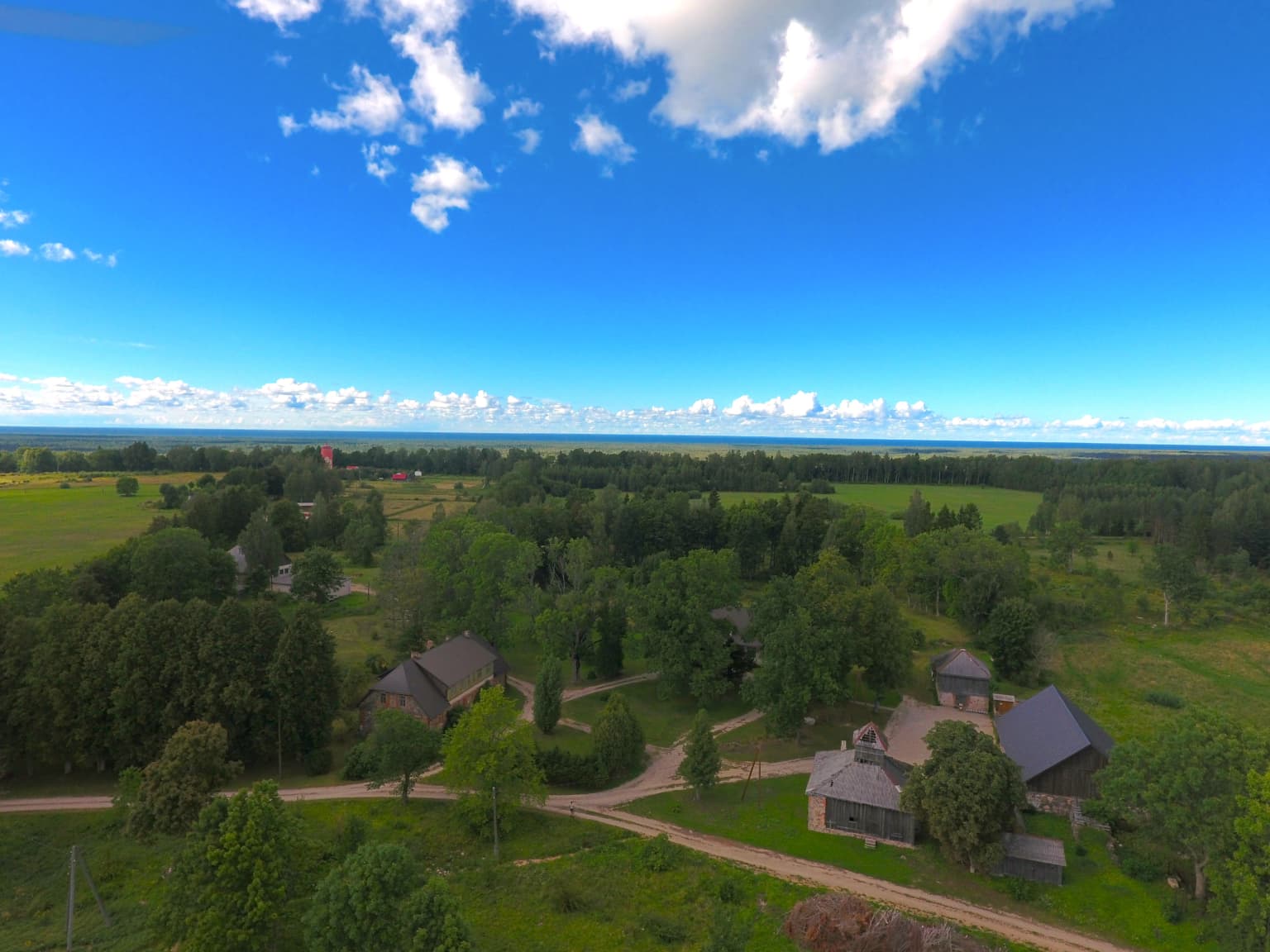
Slītere National Park encompasses the Livonian Coast, a region of deep cultural significance as the ancestral homeland of the Livonian people. The park contains eight traditional fishing villages along its Baltic Sea coastline—Sīkrags, Mazirbe, Košrags, Pitrags, Saunags, and Vaide on the open Baltic coast, and Kolka and Uši on the western shore of the Bay of Riga. These communities have maintained Livonian ethnic identity and maritime traditions across centuries.

Historical evidence of human habitation in the region dates to approximately 1040 CE, with the name of Kolka (Kolkasrags) recorded in Scandinavian runestones. The oldest written records of settlements on the northern Courland coast appear in the 14th-century cadastral records of the Piltene Bishopric, listing Lielirbe, Saunags, Sīkrags, Mazirbe, Košrags, Pitrags, Vaide, and Kolka. These communities trace their origins to the Livonians, whose ancestors—Baltic Finnish tribes—settled the Latvian coastline around 3300 BCE.

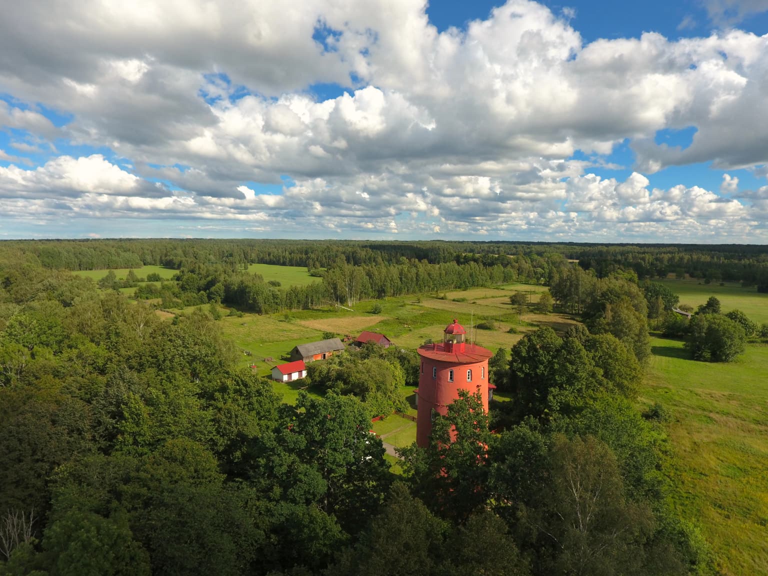
The park protects nine sites on the state list of cultural monuments, including the fishing villages of Košrags and Sīkrags, the 18th-19th century Mazirbe pastorate house, the Livonian People's House built in 1939, and several medieval and ancient burial sites. The Dāvida hillfort represents the archaeological heritage of the region. The Slītere Lighthouse, situated on the Blue Hills slope, serves as both a functional navigation beacon and a cultural landmark, offering panoramic views and serving educational purposes; it was added to the state cultural monument register in 2018.

Calm river reflecting sky and trees, with grassy banks and forested shoreline under a partly cloudy blue sky
Scenic river view in Slītere National Park

Top sights and standout views in Slītere National Park

Slītere National Park combines exceptional natural diversity with significant cultural heritage in a compact coastal landscape. The Blue Hills (Zilie Kalni) provide the park's signature scenery while supporting Latvia's most significant broadleaf forest communities. The bird migration spectacle at Cape Kolka ranks among the finest in the Baltic region, with massive concentrations of migratory birds passing through during spring and autumn. The traditional Livonian fishing villages preserved within the park offer a living cultural landscape that contrasts with the natural environments. The park's geological features—the ancient shoreline formations and amber deposits—provide connections to deep time, while the dune-and-bog complexes create a unique habitat mosaic. The coastal grey seal populations represent a conservation priority, as the park protects the species' most southerly global breeding grounds.

A coastal landscape featuring tidal flats, shallow water pools, sandy beach, and forested coastline within Slītere National Park under clear skies
Baltic Sea coastline with tidal flats and coastal vegetation in Slītere National Park

Best time to visit Slītere National Park

The optimal time to experience Slītere National Park depends on visitor interests. Spring and autumn migrations transform the park into an exceptional birdwatching destination, particularly at Cape Kolka where massive flights of migratory birds pass through. Spring migration tends to be prolonged, potentially offering sightings of nearly all bird species found in Latvia. Autumn brings the bar-tailed godwit and other species moving south, while winter may bring the great grey owl arriving from Russia.

The summer months offer comfortable temperatures for exploring the forests, coastal areas, and hiking the nature trails, though peak visitor activity occurs during this season. The Blue Hills and broadleaf forests display their full foliage character during summer, while the coastal dunes support flowering plant communities. Winter provides a different character, with the frozen Baltic coast hosting grey seal nurseries—a unique opportunity to observe these marine mammals in their southernmost breeding habitat. The park's relatively compact size allows for meaningful exploration across seasons, with each period offering distinct natural phenomena.

Park location guide

Geography guide, regional context, and park location map for Slītere National Park

Slītere National Park park geography, regions, and map view in Latvia
Understand where Slītere National Park sits in Latvia through a broader geographic reading of the surrounding landscape, nearby location context, and its mapped position within the national park landscape.

How Slītere National Park fits into Latvia

Latvia is a unitary parliamentary republic and one of the three Baltic states in northern Europe. It declared independence from Russia on 18 November 1918, experienced Soviet occupation from 1940 to 1991, and restored full independence in 1991. The country joined the European Union in 2004. Latvians, who comprise 65.5% of the population, are the titular ethnic group and speak the Latvian language.

Wider geography shaping Slītere National Park in Latvia

Latvia is located in the Baltic region of northern Europe along the eastern shore of the Baltic Sea. It borders Estonia to the north, Lithuania to the south, Russia to the east, and Belarus to the southeast. The country shares a maritime border with Sweden to the west. The terrain is largely flat with lowland plains and hills, characterized by extensive forests, lakes, and rivers.

Map view of Slītere National Park

Use this park location map to pinpoint Slītere National Park in Latvia, understand its exact geographic position, and read its mapped placement within the surrounding landscape more clearly.

Pigeon | © OpenStreetMap contributors

Location context for Slītere National Park

Talsi Municipality

Explore Slītere National Park's Diverse Scenery, from Ancient Blue Hills to Baltic Sea Dunes and Wetland Environments

Slītere National Park Photos: Visual Guide to Coastal Landscapes, Forests, and Habitats
Explore an immersive collection of photography to understand the unique visual identity and protected-area character of Slītere National Park. This gallery offers crucial visual context for its distinctive coastal landscapes, revealing the ancient Zilie Kalni hills, broadleaf forests, extensive dune systems, and vital wetland habitats.

Aerial view of a landscape with green fields, dense forests, several houses, and dirt roads under a bright blue sky with scattered clouds

Aerial view of a forested area with several buildings, green fields, and trees under a partly cloudy sky.

Wooden boardwalk trail with wooden railings running through a grassy meadow with scattered trees and forest in the background

Aerial view of a red lighthouse surrounded by dense green forests with open meadows and small buildings under a partly cloudy sky

A narrow stream surrounded by tall trees with green foliage reflecting in the water

Small waterfall flowing through forested area with moss-covered rocks and fallen leaves

Calm river reflecting sky and trees, with grassy banks and forested shoreline under a partly cloudy blue sky

A coastal landscape featuring tidal flats, shallow water pools, sandy beach, and forested coastline within Slītere National Park under clear skies

A calm lake surrounded by grassy shore and forested areas under a partly cloudy sky

Wide landscape view of Slitere National Park showing mixed forest, open fields, and a small lighthouse structure under overcast sky

Park atlas

Explore the broader protected-area geography surrounding Slītere National Park, comparing coastal, forest, and wetland ecosystems.

Browse Related National Parks and Protected Areas Surrounding Slītere National Park
Expand your exploration beyond Slītere National Park by discovering nearby protected areas, comparing their coastal features, broadleaf forests, and unique wetland ecosystems. Compare Latvia's conservation landscapes and the geographic distribution of significant natural territories, tracing ecological connections across the Baltic Sea region.
Marine protected areaSaare County

Vilsandi National Park: Marine Protected Area Atlas and Archipelago Geography

Explore the protected landscape of Western Saaremaa's coast.

Vilsandi National Park is an integral part of Saare County's protected lands, recognized as a significant marine protected area. This page offers an atlas-style exploration of its geography, focusing on the distinctive archipelago terrain, coastal formations along Saaremaa's western edge, and its vital importance as a stopover for migratory birds. Understand the park's mapped boundaries and its place within the broader Baltic Sea ecosystem through detailed geographic context.

Area
241 km²
Established
1957
Relief
Lowland
Climate
Temperate
National park

Ķemeri National Park: Discover Latvia's Iconic Protected Bog and Wetland Geography

Explore a unique protected landscape with mapped bog ecosystems and regional natural terrain.

Ķemeri National Park in Latvia is a remarkable protected area, celebrated for its expansive and ecologically significant raised bog systems, particularly the Great Ķemeri Bog. This national park showcases a unique geographical character, featuring natural sulfur springs, therapeutic muds, and a series of ancient lagoon lakes that support rich birdlife. Its diverse wetland habitats and distinct peatland landscapes offer a compelling focus for atlas-based discovery and understanding the regional geography of the Latvian coast.

Area
381.65 km²
Established
1997
IUCN
II
Relief
Lowland
Watercolor illustration showing a wetland landscape with grassy fields, a river, and trees in the background
National parkLääne County

Matsalu National Park: Explore Estonia's Premier Wetland National Park Geography and Protected Area

Discover mapped landscapes and bird migration routes in Lääne County.

Matsalu National Park, located in Lääne County, Estonia, is a prime example of a protected wetland ecosystem of international significance. This page delves into the park's unique geographic features, including the shallow brackish Matsalu Bay, the expansive Kasari River delta, and the numerous islands that form its coastal mosaic. Users can explore the park's protected boundaries and understand its critical function as a major staging area for migratory birds, offering a detailed atlas-level view of this important natural landscape.

Area
486.1 km²
Established
1957
Relief
Lowland
Climate
Temperate
Watercolor painting showing rolling hills, a lake, and green forests under a soft sky
National park

Žemaitija National Park: Mapped Glacial Terrain and Samogitian Protected Landscape

Explore protected areas and natural geography in Northwestern Lithuania.

Žemaitija National Park is a protected natural reserve in Lithuania, defined by its distinctive glacially sculpted landscape. This park preserves over 217 square kilometers of hilly terrain, featuring significant lake systems like Lake Plateliai and substantial forest cover interspersed with wetlands. Users can explore the park's unique topographic character, its mapped geographic features, and its role as a vital protected area within the Samogitian region, offering a rich context for atlas-based discovery.

Area
217.54 km²
Established
1991
IUCN
II
Relief
Highland
Watercolor illustration of a river flowing through a valley with hills and greenery
National park

Gauja National Park: Latvia's Largest National Park Atlas and Protected Landscape

Mapped terrain and diverse natural heritage in Vidzeme.

As Latvia's largest national park, Gauja offers a deep dive into a protected landscape defined by the ancient Gauja River valley and its spectacular Devonian sandstone cliffs. This page provides essential geographic context and atlas-style information, detailing the park's mapped boundaries, unique geological formations, and the rich tapestry of natural and cultural heritage that makes it a cornerstone of the region's protected lands. Explore the varied terrain, from river valleys to rolling uplands, all within a meticulously mapped conservation area.

Area
917.87 km²
Established
1973
IUCN
II
Relief
Mixed relief
Watercolor painting showing a wetland landscape with scattered trees, marshy areas, and distant mountains under a muted sky
National parkViljandi County

Soomaa National Park: Estonia's Wilderness Wetland Landscape Atlas

Explore mapped protected peat bogs and dynamic floodplains in Viljandi County.

Soomaa National Park is a protected wilderness area in Estonia renowned for its extensive peat bog systems and unique floodplains. This national park, located primarily in Viljandi County, showcases some of Europe's largest intact wetland landscapes, characterized by seasonal floods that transform the terrain into vast aquatic environments. MoriAtlas provides detailed geographic context for Soomaa, allowing for exploration of its protected boundaries and landscape features within the broader atlas of European natural areas.

Area
359 km²
Established
1993
Relief
Lowland
Climate
Boreal
Watercolor painting of a landscape with a river flowing through grassy fields, trees, and mountains in the background
National park

Curonian Spit National Park: Mapped Sand Dunes and Baltic Protected Landscape

Explore the unique geography of this Baltic national park.

Curonian Spit National Park represents a remarkable synthesis of natural processes and cultural heritage along the Lithuanian coast. Dominated by dramatic sand dunes, including the famed grey dunes of Nagliai and active dunes at Parnidžio, this national park showcases dynamic landscape evolution. Its designation as a UNESCO World Heritage site underscores its global importance as a protected area safeguarding unique coastal ecosystems and migratory bird pathways. MoriAtlas provides detailed mapping context for this exceptional protected landscape, enabling structured exploration of its geographic features and ecological significance.

Area
264.74 km²
Established
1991
IUCN
II
Visitors
400K annual
Watercolor illustration showing rolling hills, meadows, wildflowers, and distant mountains
National park

Karula National Park: Detailed Map and Protected Landscape Context in Southern Estonia

Explore Karula Uplands' rolling terrain, lakes, and forests.

Karula National Park, Estonia's smallest national park, presents a densely clustered landscape of rolling hills, over 40 lakes, and extensive forest cover across the Karula Uplands. This protected area is a vital component of southern Estonia's natural geography, offering a rich mosaic of habitats. MoriAtlas facilitates a structured exploration of its mapped boundaries and the diverse ecosystems that define this distinctive natural landscape.

Area
123.64 km²
Established
1979
Relief
Upland
Climate
Temperate

Common questions about visiting, size, designation, and location context for Slītere National Park

Slītere National Park FAQs for park facts, access, geography, and protected area context
Find quick answers about Slītere National Park, including protected-area facts, park geography, trail and visitor context, and how the park fits into its surrounding country and regional landscape.
MoriAtlas Explorer

Continue Your Protected Areas Search Across the Global Atlas

Deepen your exploration by continuing the structured search for national parks and protected areas worldwide. Utilize the comprehensive filtering capabilities to compare different conservation landscapes and refine your understanding of global park geography. Discover more about the distribution and characteristics of protected natural areas.

Global natural geography