Mori Atlas logo
National parkMatsalu National Park

Discover the mapped geography and protected area boundaries of this vital European bird staging ground in Lääne County.

Matsalu National Park: Estonia's Acclaimed Protected Wetland Landscape and Bird Migration Hub

Matsalu National Park in Lääne County, Estonia, stands as a globally significant protected landscape, renowned for its extensive wetland ecosystems and role as a critical staging ground for migratory birds along the East Atlantic Flyway. This page offers an atlas-driven exploration of the park's unique geography, featuring its shallow brackish bay, vast Kasari River delta, and the intricate network of surrounding islands and coastal meadows. Understand the mapped protected area and the ecological importance of Matsalu National Park for birdlife and regional biodiversity.

wetlandbird migrationcoastal ecosystemRamsar sitereedbedsdelta
Stylized illustration showing a river with rocky shoreline, grassy banks, cliffs in the background, and birds flying in a pastel sky

Matsalu National Park

National park

Park overview

Structured park overview, official facts, and landscape profile for Matsalu National Park

Matsalu National Park park facts, protected area profile, and essential visitor context
Review the core facts for Matsalu National Park, including designation, size, terrain, visitor scale, habitats, and operating context in one park-focused overview.

About Matsalu National Park

Matsalu National Park represents one of Estonia's most ecologically significant protected landscapes, combining coastal, wetland, and terrestrial habitats in a complex and productive ecosystem. The park's central feature is Matsalu Bay, a shallow brackish lagoon that ranks among the most important wetland bird habitats on the European continent. This significance derives from the bay's strategic position on the East Atlantic Flyway, a major migratory corridor connecting Arctic breeding grounds with wintering areas in Western Europe and beyond.

The Kasari River, the largest of several rivers emptying into Matsalu Bay, brings substantial nutrient-rich sediments from a drainage basin exceeding 3,500 square kilometers. Annual inflow from the river exceeds the bay's volume approximately eight times, depositing sediments that sustain the expanding reedbeds and productive wetland conditions. The river's delta has been actively managed as a wet meadow since its modification in the mid-20th century, and this 40-square-kilometer alluvial meadow represents one of Europe's largest open wet grassland areas.

The protected area encompasses diverse habitat types including floodplains, coastal meadows, extensive reedbeds, woodlands, and wooded meadows. The section of Väinameri surrounding the bay mouth contains more than 50 islands, with the largest including Tauksi, Liia, Sõmeri, Kumari, and Papilaid. This mosaic of habitats supports extraordinary biodiversity, with 282 bird species recorded within the park—including 175 nesting species and 33 transmigrant waterfowl species—along with 49 fish species, 47 mammal species, and 772 vascular plant species.

Administration is centered at Penijõe Manor, a historic estate that serves as the regional office of the State Nature Conservation Centre and houses the Estonian Bird Ringing Centre. The park maintains seven bird-watching towers and three hiking trails, providing visitor access to experience this remarkable wetland ecosystem.

Quick facts and research context for Matsalu National Park

Matsalu National Park occupies 486.1 km² of terrestrial land and 261.8 km² of aquatic area in western Estonia. The protected zone includes Matsalu Bay, the Kasari River delta, over 50 islands, coastal meadows, reedbeds, and woodlands. The bay's average depth is just 1.5 meters with water salinity at approximately 0.7 per mil. The park lies within Lääneranna and Lääne-Nigula municipalities and is administered by the Estonian Environmental Board. Scientific research at the site began around 1870, with formal protection established in 1957 primarily to safeguard nesting, Moulting, and migratory bird populations.

Park context

Deeper park guide and search-rich context for Matsalu National Park

Matsalu National Park history, landscape, wildlife, and travel context
Explore Matsalu National Park through its history, landscape character, ecosystems, wildlife, conservation priorities, cultural context, and seasonal travel timing in a structured park guide built for atlas discovery and search intent.

Why Matsalu National Park stands out

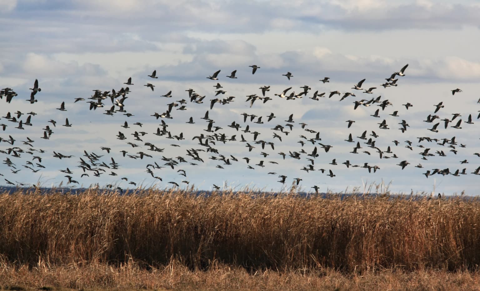
Matsalu is best known as one of the most important wetland bird areas in Europe, serving as a massive spring staging ground for migratory waterfowl along the East Atlantic Flyway. Every spring, more than two million waterfowl pass through the area, including approximately 1.6 million long-tailed ducks, the most numerous passage species. The wetland supports up to 20,000 barnacle geese and over 10,000 greylag geese that stop on coastal pastures, while the autumn migration makes Matsalu the largest autumn stopping ground for common cranes in Europe, with up to 23,000 birds recorded. The park's seven bird-watching towers, including the prominent Keemu tower, provide access to this extraordinary birdlife spectacle.

A river winding through a lush green landscape under a cloudy sky with sunset hues on the horizon
Kasari River flowing through Matsalu National Park at dawn

Matsalu National Park history and protected-area timeline

Scientific investigation of Matsalu began around 1870 when Valerian Russow, curator of the Natural History Museum at the University of Tartu, provided an early overview of birdlife near Matsalu Bay. Between 1928 and 1936, researcher Eerik Kumari conducted extensive ornithological studies in the area and formally proposed the establishment of a bird protection zone in 1936. Partial protection was granted in 1939 to sections of the bay near Virtsu-Puhtu, primarily to conserve mud used in therapeutic mud-baths.

Regular research at Matsalu commenced in 1945 when the Institute of Botany and Zoology of the Estonian Academy of Sciences established a research base at Penijõe. Matsalu Nature Reserve was officially founded in 1957 with the primary purpose of protecting nesting, Moulting, and migratory bird populations. The first permanent staff—administrators and scientists—arrived in 1958, and the Penijõe research base became the administrative center of the newly established reserve.

In 1976, Matsalu was designated a Wetland of International Importance under the Ramsar Convention. The Council of Europe awarded the European Diploma of Protected Areas to Matsalu Nature Reserve in 2003, recognizing its success in preserving habitat diversity and the numerous bird species and other biota within the reserve. This diploma was extended for five years in 2008, and Matsalu remains the only nature reserve in Estonia to hold this distinction.

In 2004, Matsalu Nature Reserve was redesignated as Matsalu National Park and expanded to incorporate additional surrounding protected areas including Puhtu-Laelatu, Nehatu, Lihula, and Tuhu landscape protection areas. The park also overlaps with Natura 2000 sites covering the Väinameri bird area and Väinameri nature reserve.

Matsalu National Park landscape and geographic character

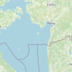
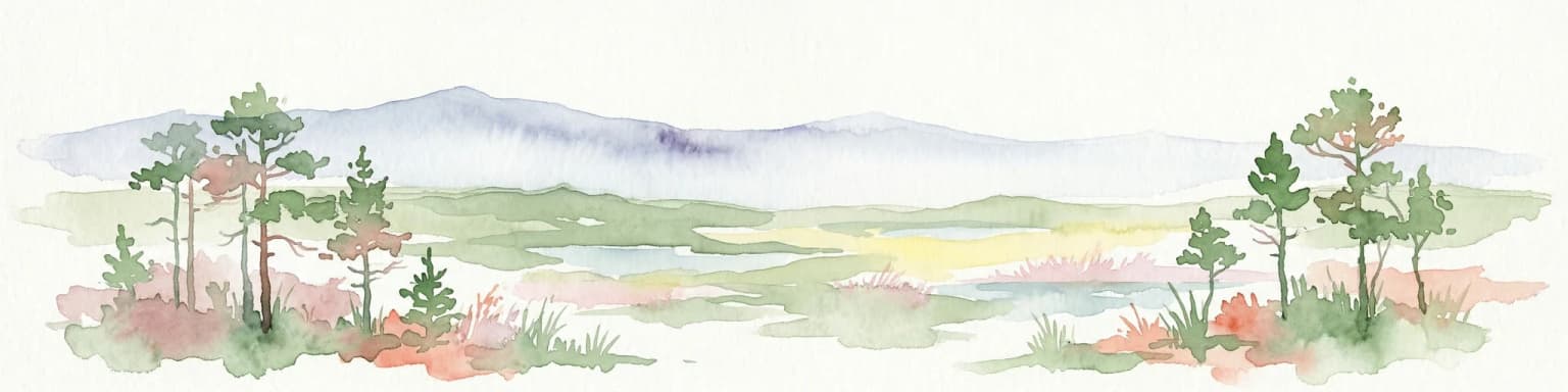
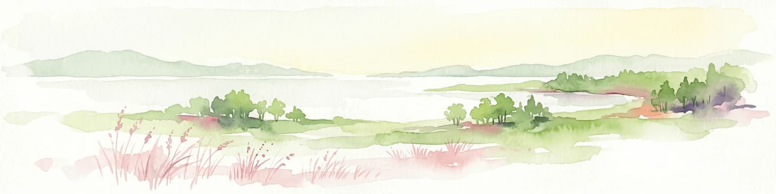
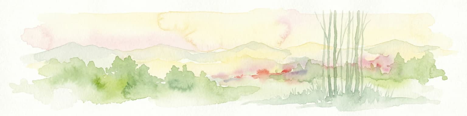
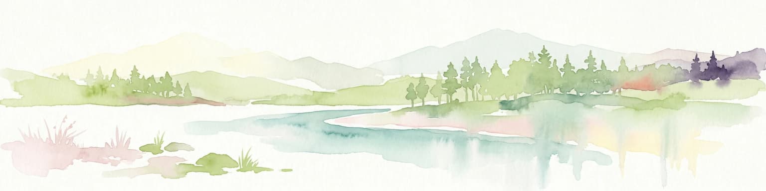
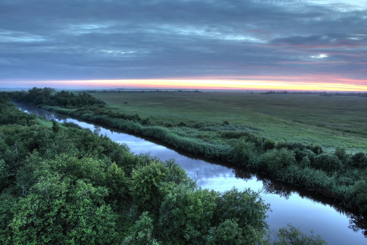
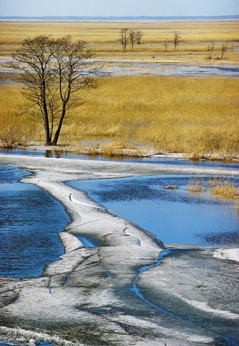
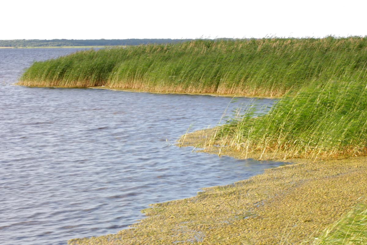
The physical landscape of Matsalu National Park is defined by its coastal wetland character and the interplay between shallow marine waters, river deltas, and terrestrial habitats. Matsalu Bay itself is a distinctive shallow brackish lagoon, extending 18 kilometers long and 6 kilometers wide but averaging merely 1.5 meters in depth with a maximum depth of 3.5 meters. The bay's low-salinity waters, approximately 0.7 per mil, support productive ecological conditions.

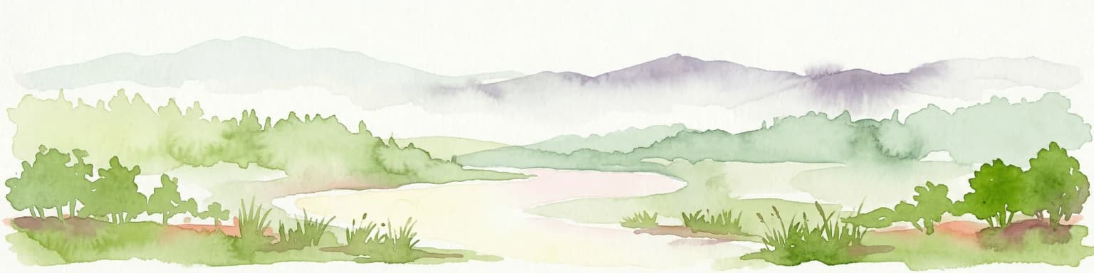
The Kasari River delta represents the most significant terrestrial landscape feature, a flat, low-lying area of alluvial deposits and managed wet meadows. Annual river flooding exceeds 1.7 meters, bringing massive quantities of nutrient-rich sediments that accumulate in the estuary and sustain the expanding reedbeds. The reeds and rushes surrounding the main channel advance westward up to 100 meters annually.

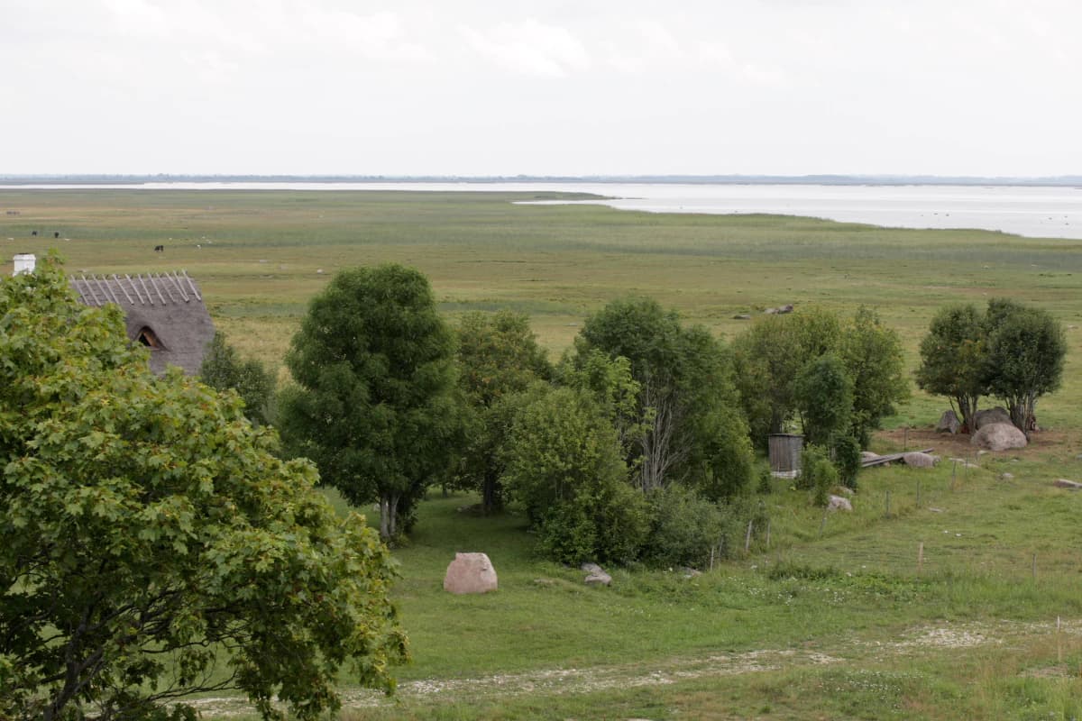
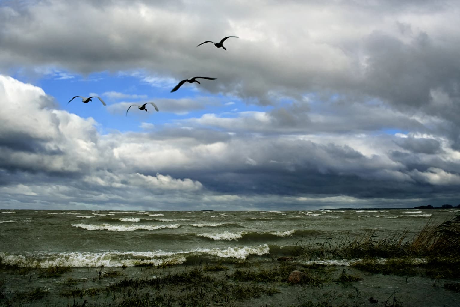
The park's coastline extends roughly 165 kilometers, characterized predominantly by shingle shores rather than high banks. The innermost, sheltered portions of the bay feature muddy substrates overgrown with dense reed vegetation. Beyond the bay, the Väinameri sea area encompasses more than 50 islands varying in size and character, creating a fragmented coastal landscape. The terrestrial portions include floodplains, coastal meadows, woodlands, and the distinctive wooded meadows typical of the Baltic region.

Frozen waterways and reeds in Matsalu National Park's floodplain with a single tree
Kasari floodplain near Kloostri within Matsalu National Park

Matsalu National Park ecosystems, habitats, and plant life

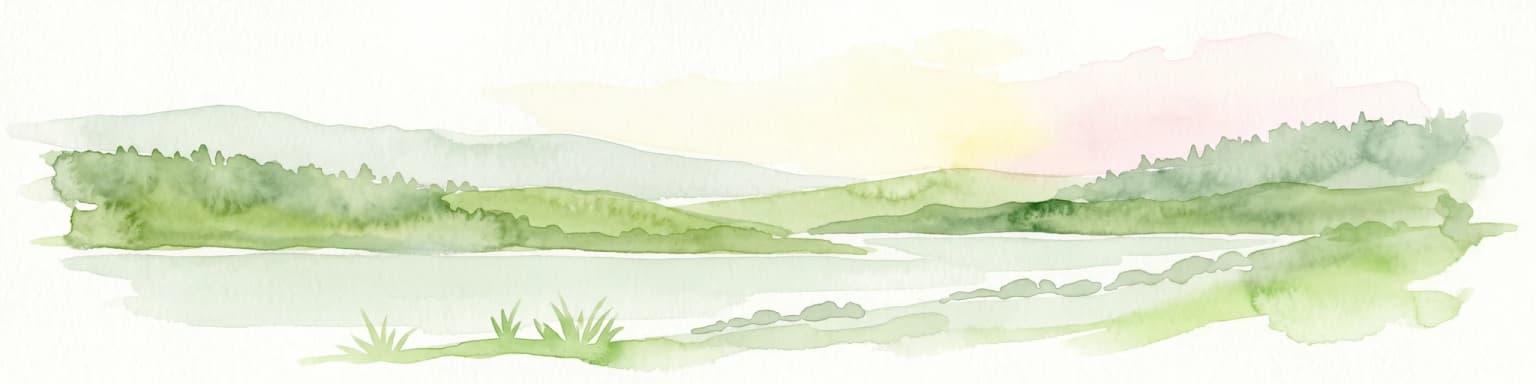
Matsalu's ecological character is fundamentally shaped by its wetland ecosystems, which rank among the most productive and biodiverse habitats in northern Europe. The shallow, brackish Matsalu Bay supports extensive reedbeds that serve as critical habitat for nesting, foraging, and sheltering bird populations. These reedbeds, alongside the river delta floodplains and coastal meadows, create a complex mosaic of wetland habitats that sustain exceptional biodiversity.

The aquatic environment is characterized by low salinity and high nutrient availability, supporting rich invertebrate communities that form the base of the food web for waterfowl and fish populations. The park's vascular plant inventory of 772 species reflects the diversity of habitats ranging from aquatic and wetland communities through coastal grasslands to woodland and wooded meadow ecosystems.

The terrestrial portion of the park includes managed wet meadows that represent some of the largest remaining examples of this habitat type in Europe. These grasslands, maintained through traditional agricultural practices including mowing and grazing, support specialized plant and animal communities. The woodlands and forest patches provide additional habitat diversity, particularly for nesting bird species and mammalian fauna.

Green fields, scattered trees, a small structure, and distant water under an overcast sky
Coastal landscape near Haeska with grassy fields, scattered trees, and distant water body

Matsalu National Park wildlife and species highlights

Matsalu National Park supports extraordinary wildlife diversity, with birds forming the most prominent component of the park's ecological character. Of the 282 bird species recorded within the park, 175 are confirmed nesting species and 33 are regular transmigrant waterfowl. The spring migration spectacle is particularly remarkable, with over two million waterfowl passing through the area including 10,000-20,000 Bewick's swans, 10,000 greater scaup, common goldeneye, tufted duck, and goosander. The most numerous species during migration is the long-tailed duck, with approximately 1.6 million individuals passing through.

Colonial nesting birds include cormorants, common terns, and sandwich terns, while the coastal pastures support large flocks of barnacle geese—up to 20,000 individuals—and greylag geese exceeding 10,000. Autumn migration brings approximately 300,000 migratory waterfowl, and the wetland serves as Europe's largest autumn staging area for common cranes, with peak counts reaching 23,000 individuals.

The mammal community includes 47 species, with the European otter among the notable protected species. The park supports ten mammal species in the second conservation category under Estonian protection. Fish diversity encompasses 49 species, reflecting the productive coastal and freshwater habitats. The park also provides habitat for the natterjack toad and supports 22 strongly protected plant species.

Birds in flight above a bay with waves, grassy shoreline, and cloudy sky
Birds flying over Matsalu Bay from Puise Peninsula

Matsalu National Park conservation status and protection priorities

Matsalu National Park holds exceptional conservation significance at both European and international levels. Its designation as a Ramsar Wetland of International Importance since 1976 recognizes the wetland's critical role in supporting migratory waterfowl populations across the East Atlantic Flyway. The park's importance is further underscored by its status as the only area in Estonia to have received the European Diploma of Protected Areas from the Council of Europe, awarded in 2003 and renewed in 2008 for five-year periods.

The park protects numerous endangered species listed in the Estonian IUCN Red List, including the white-tailed eagle in the highest conservation category. Many bird species fall into the second and third protection categories, while 22 plant species receive strong legal protection. The presence of the natterjack toad and ten mammal species in the second conservation category reflects the park's role as a refuge for threatened biodiversity.

The park is integrated into the Natura 2000 network through the Väinameri bird area and Väinameri nature reserve, and it is also designated as a HELCOM protected area under the Baltic Sea marine protection framework. This layered international recognition reflects the wetland's irreplaceable role in European biodiversity conservation.

Matsalu National Park cultural meaning and human context

The Matsalu area has a long history of human settlement and traditional land use that shapes its cultural landscape. The Penijõe Manor, dating to the historical estate system typical of the Baltic region, now serves as the administrative center for the park and houses the State Nature Conservation Centre's regional office and the Estonian Bird Ringing Centre. The Matsalu Manor in the village of Matsalu represents another historic estate property within the park boundaries.

The traditional agricultural practices of coastal meadow management, including grazing and mowing, have maintained the open wetland landscapes that are essential for the park's bird populations. These semi-natural grasslands represent a cultural landscape that has been shaped by generations of rural land use. The park encompasses numerous villages across Lääneranna and Lääne-Nigula municipalities, with settlement patterns that reflect the region's coastal rural character.

The annual Matsalu International Nature Film Festival, held in nearby Lihula since 2003, has become a significant cultural event that promotes environmental awareness and nature conservation through cinema. The festival received the Estonian Ministry of Environment's Environmental Award in 2007, recognizing its contribution to environmental education and awareness.

A flock of birds flying over tall brown reeds with a cloudy sky in the background
Barnacle geese flying over reeds along the coast of Matsalu National Park

Top sights and standout views in Matsalu National Park

Matsalu National Park's standout quality is its extraordinary role as a major bird migration hub on the East Atlantic Flyway, with spring counts exceeding two million waterfowl passing through. The Kasari River delta represents one of Europe's largest managed wet meadows, while the shallow brackish bay with its expanding reedbeds creates a globally significant wetland ecosystem. The seven bird-watching towers, particularly the Keemu tower with its panoramic views, provide exceptional access to observe the migration spectacle. As the only Estonian site holding the European Diploma of Protected Areas, Matsalu represents the highest standard of nature conservation in the country.

Tall reeds along the edge of a body of water with a sandy shoreline
Matsalu National Park reed bed along the shoreline

Best time to visit Matsalu National Park

The most spectacular time to experience Matsalu is during the spring migration from March through May, when over two million waterfowl pass through the area. This period offers the best opportunities for observing large flocks of barnacle geese, Bewick's swans, and the remarkable concentrations of long-tailed ducks. The bird-watching towers provide optimal vantage points for witnessing the migration spectacle. Autumn migration, particularly September and October, brings large numbers of common cranes and other waterfowl, making this season also highly productive for wildlife observation. The summer months offer opportunities to see nesting birds and enjoy the wetland landscape in full greenery, though visitor numbers increase during this period.

Park location guide

Geography guide, regional context, and park location map for Matsalu National Park

Matsalu National Park park geography, regions, and map view in Estonia
Understand where Matsalu National Park sits in Estonia through a broader geographic reading of the surrounding landscape, nearby location context, and its mapped position within the national park landscape.

How Matsalu National Park fits into Estonia

Estonia is a parliamentary republic and member of the European Union and NATO. With a population of about 1.4 million, it is one of the least populous EU member states. The official language is Estonian, and the currency is the Euro.

Wider geography shaping Matsalu National Park in Estonia

Estonia is situated on the eastern coast of the Baltic Sea in Northern Europe. It borders the Gulf of Finland to the north, Latvia to the south, and Russia to the east. The territory includes the mainland, the islands of Saaremaa and Hiiumaa, and over 2,300 smaller islands and islets.

Map view of Matsalu National Park

Use this park location map to pinpoint Matsalu National Park in Estonia, understand its exact geographic position, and read its mapped placement within the surrounding landscape more clearly.

Pigeon | © OpenStreetMap contributors

Location context for Matsalu National Park

Lääne CountyPärnu County

Visually understanding Estonia's premier wetland landscapes, bird migration habitats, and unique protected coastal geography through images

Explore Matsalu National Park Photos: Wetland Landscapes, Coastal Scenery, and Habitat Imagery
Explore compelling photography showcasing Matsalu National Park's diverse wetland landscapes, including its vast reedbeds, the shallow brackish bay, and the extensive Kasari River delta. These visual insights offer a deeper understanding of Estonia's premier bird migration habitats, coastal geography, and the critical environmental character of this internationally recognized protected area.

A river winding through a lush green landscape under a cloudy sky with sunset hues on the horizon

Snow-covered field with frosty grasses alongside a frozen river, a small building visible in the distance under a clear sky.

Frozen waterways and reeds in Matsalu National Park's floodplain with a single tree

Green fields, scattered trees, a small structure, and distant water under an overcast sky

Birds in flight above a bay with waves, grassy shoreline, and cloudy sky

Flock of geese in flight over golden reeds under a partly cloudy sky

A flock of birds flying over tall brown reeds with a cloudy sky in the background

Tall reeds along the edge of a body of water with a sandy shoreline

Two wooden huts with thatched roofs beside a calm river, surrounded by wetland grasses and a fence, with reflections in the water

A wide river flowing through wetland vegetation with tall green reeds along both banks under a blue sky with scattered clouds

Rocky shoreline with stone jetty extending into calm water, distant islet with vegetation under partly cloudy sky

Two horses, one adult and one foal, grazing in a green field with trees in the background

Weathered wooden barn with thatched roof and boardwalk in grassy field with sparse trees

Wooden building with thatched roof and adjacent elevated observation tower in a grassy field

Grassy field with informational signs overlooking a large body of water under a cloudy sky

Hay bales arranged in a grassy field with trees and a body of water in the background

Park atlas

Browse mapped protected areas and varied landscapes in the region around Matsalu National Park.

Compare National Parks and Protected Areas Near Matsalu National Park in Estonia
After exploring Matsalu National Park, expand your discovery by browsing other national parks and protected areas found across Estonia, from significant coastal wetlands to diverse inland regions. Compare their unique geographic features, conservation mandates, and regional distribution to understand Estonia's broader network of protected landscapes.
Watercolor painting showing a wetland landscape with scattered trees, marshy areas, and distant mountains under a muted sky
National parkViljandi County

Soomaa National Park: Estonia's Wilderness Wetland Landscape Atlas

Explore mapped protected peat bogs and dynamic floodplains in Viljandi County.

Soomaa National Park is a protected wilderness area in Estonia renowned for its extensive peat bog systems and unique floodplains. This national park, located primarily in Viljandi County, showcases some of Europe's largest intact wetland landscapes, characterized by seasonal floods that transform the terrain into vast aquatic environments. MoriAtlas provides detailed geographic context for Soomaa, allowing for exploration of its protected boundaries and landscape features within the broader atlas of European natural areas.

Area
359 km²
Established
1993
Relief
Lowland
Climate
Boreal
Marine protected areaSaare County

Vilsandi National Park: Marine Protected Area Atlas and Archipelago Geography

Explore the protected landscape of Western Saaremaa's coast.

Vilsandi National Park is an integral part of Saare County's protected lands, recognized as a significant marine protected area. This page offers an atlas-style exploration of its geography, focusing on the distinctive archipelago terrain, coastal formations along Saaremaa's western edge, and its vital importance as a stopover for migratory birds. Understand the park's mapped boundaries and its place within the broader Baltic Sea ecosystem through detailed geographic context.

Area
241 km²
Established
1957
Relief
Lowland
Climate
Temperate
National parkUusimaa

Ekenäs Archipelago National Park: Mapped Baltic Sea Archipelago Landscape

Protected marine area with island geography in Uusimaa, Finland.

Delve into the unique protected landscape of Ekenäs Archipelago National Park, a premier example of a Baltic Sea marine protected area. Located in the Uusimaa region, this national park encompasses a vast expanse of coastal waters dotted with hundreds of rocky islets and skerries. MoriAtlas provides detailed geographic context, allowing for exploration of its mapped boundaries, island formations, and critical role as a sanctuary for breeding aquatic birds. Understand its place within Finland's protected areas atlas and appreciate its distinctive marine archipelago character.

Area
52 km²
Established
1989
IUCN
II
Visitors
53.6K annual
Watercolor illustration of a river flowing through a forested landscape with mountains in the background
National park

Slītere National Park: Latvia's Protected Coastal Landscape with Blue Hills and Bird Flyways

Explore the unique terrain and protected geography of this Baltic national park.

Slītere National Park represents a distinctive protected landscape on Latvia's Courland Peninsula, celebrated for its ancient geological formations like the Blue Hills (Zilie Kalni) and its role as a crucial bird migration corridor. The park's geography encompasses varied dune systems, wetland habitats, and rich broadleaf forests, offering a unique mapped environment. Discover the park's protected area boundaries and its significance within the regional Baltic geography, highlighting its unique ecosystem features and landscape context.

Area
164.14 km²
Established
2000
IUCN
II
Relief
Mixed relief
National park

Lahemaa National Park: Explore Estonia's Coastal Geography and Protected Landscape Atlas

Mapped terrain, bogs, and coastal peninsulas of a major protected area.

Delve into the detailed geography of Lahemaa National Park, Estonia's largest national park situated on the southern coast of the Gulf of Finland. This protected landscape encompasses a diverse range of terrain, from the deeply indented coastline and ancient glacial boulders to expansive raised bogs and rolling boreal forests. Understand the park's mapped boundaries and its significance as a premier destination for exploring distinct Baltic natural environments and historical coastal villages. The park's unique blend of natural features and cultural heritage makes it a key point of reference in any protected-area atlas.

Area
747 km²
Established
1971
IUCN
II
Relief
Lowland
National parkFinland

Archipelago National Park: Mapped Protected Landscape and Geographic Context in Finland

Explore protected area boundaries and natural terrain.

Archipelago National Park represents a vital component of Finland's protected lands. This page serves as an atlas-focused entry point, detailing the park's specific geographic context, its mapped protected area boundaries, and the nature of its landscape. Understand how this national park contributes to the broader regional geography of Finland and the Nordic region, aiding structured discovery through maps and geographic data.

Area
500 km²
Established
1983
IUCN
II
Visitors
78.8K annual
National parkSouthwest Finland

Teijo National Park: Mapped Boundaries of a Protected National Park in Southwest Finland

Explore the geographic context and protected landscape of Teijo National Park.

Teijo National Park is a designated national park within Southwest Finland, offering a distinct protected landscape for atlas exploration. This entry focuses on its geographic identity, mapped park boundaries, and its place within the broader regional geography. Discover the structured details of Teijo National Park as a key protected area, providing valuable context for understanding natural landscapes and conservation efforts in Finland.

Area
34 km²
Established
2015
IUCN
II
Visitors
92.1K annual
National parkUusimaa

Nuuksio National Park: Uusimaa Region Protected Landscape Atlas Entry

Mapped boundaries and geographic context for a Finnish National Park.

Access detailed geographic information and mapped boundaries for Nuuksio National Park, a protected national park within the Uusimaa region. This MoriAtlas entry provides context for understanding its landscape within Finland, focusing on atlas-style exploration and the identification of protected natural areas.

Area
53 km²
Established
1994
IUCN
II
Visitors
312.6K annual

Common questions about visiting, size, designation, and location context for Matsalu National Park

Matsalu National Park FAQs for park facts, access, geography, and protected area context
Find quick answers about Matsalu National Park, including protected-area facts, park geography, trail and visitor context, and how the park fits into its surrounding country and regional landscape.
MoriAtlas Explorer

Continue Your Protected Areas Search Across the Global Atlas

Deepen your exploration by continuing the structured search for national parks and protected areas worldwide. Utilize the comprehensive filtering capabilities to compare different conservation landscapes and refine your understanding of global park geography. Discover more about the distribution and characteristics of protected natural areas.

Global natural geography