Mori Atlas logo
National parkTeijo National Park

Navigate the mapped boundaries and geographic context of this protected Finnish natural area.

Teijo National Park: A National Park in Southwest Finland's Protected Landscape Atlas

Teijo National Park stands as a significant protected area within the Southwest Finland region, contributing to Finland's national park network. This page provides essential geographic context, focusing on the park's mapped boundaries and its role within the regional landscape. Explore the atlas-driven discovery of Teijo National Park and understand its position within the natural geography of southern Finland.

National parksForested parksWetland protectionCoastal FinlandBirdwatchingHistorical heritage

Teijo National Park

National park

Park overview

Structured park overview, official facts, and landscape profile for Teijo National Park

Teijo National Park park facts, protected area profile, and essential visitor context
Review the core facts for Teijo National Park, including designation, size, terrain, visitor scale, habitats, and operating context in one park-focused overview.

About Teijo National Park

Teijo National Park occupies a forested landscape in Southwest Finland's coastal region, positioned within the historic Perniö area now part of Salo municipality. The park's establishment in 2015 marked Finland's commitment to protecting remaining natural habitats in the southern parts of the country where agricultural and forestry pressure has reduced wild landscapes. The terrain consists primarily of pine-dominated forests that developed following historical forest management, alongside pockets of wetland including the ecologically significant eutrophic fen that serves as a refugium for specialized plant and animal species adapted to these increasingly rare conditions. The park's trail network extends roughly 50 kilometres through varied terrain, providing access to both natural areas and cultural heritage sites. The Kirjakkala iron works area represents a window into the region's industrial history, with several log structures dating to the 1800s having been carefully restored to their original appearance. This blend of natural habitat preservation and industrial heritage conservation gives Teijo a distinctive character among Finland's national parks, offering visitors both ecological and historical interest.

Quick facts and research context for Teijo National Park

Teijo National Park is located in Southwest Finland within the Perniö area of Salo municipality, approximately 60 kilometres northeast of Turku. The park was established on January 1, 2015, making it one of Finland's most recent national park designations. It covers 34 square kilometres of primarily pine forest terrain with scattered wetland areas. The park contains one of the last remaining eutrophic fens in southern Finland, a rare mire type that has nearly disappeared from the region due to land use changes. Approximately 50 kilometres of hiking trails traverse the park, with a 3-kilometre accessible route for visitors with mobility limitations. The park receives around 92,100 annual visitors and is managed by Metsähallitus, Finland's state-owned forest and land management agency.

Park context

Deeper park guide and search-rich context for Teijo National Park

Teijo National Park history, landscape, wildlife, and travel context
Explore Teijo National Park through its history, landscape character, ecosystems, wildlife, conservation priorities, cultural context, and seasonal travel timing in a structured park guide built for atlas discovery and search intent.

Why Teijo National Park stands out

Teijo National Park is particularly known for its rare eutrophic fen, a wetland habitat that has almost vanished from southern Finland and represents an important ecological asset for the region. The park also stands out for its combination of natural landscapes and cultural heritage, featuring the restored 19th-century iron works area in Kirjakkala with its preserved log buildings. The diverse birdlife, including nesting populations of Canada geese, cranes, sandpipers and grouse, makes the park notable for avian observation. The relatively young pine forests, managed through sustainable forestry practices before the area received protection status, create a distinctive forested character that differs from older natural forests found in some of Finland's older national parks.

Teijo National Park history and protected-area timeline

Teijo National Park was officially established on January 1, 2015, representing one of Finland's more recent additions to its national park system. The park's creation reflected growing recognition of the need to protect remaining natural areas in southern Finland, a region where extensive agricultural and forestry activity has significantly reduced wild landscapes. Prior to its national park designation, the area had been managed as forest land through various timber production regimes, resulting in the predominantly young pine forest character visible today. The establishment process involved consultation with local stakeholders and integration of the historic Kirjakkala iron works area into the protected boundary, recognizing the cultural significance of the former industrial site. Metsähallitus assumed management responsibility upon the park's creation, implementing trails and visitor infrastructure while balancing access with conservation objectives. The park's relatively recent origin means its ecological communities are still developing toward more natural forest conditions as active management diminishes.

Teijo National Park landscape and geographic character

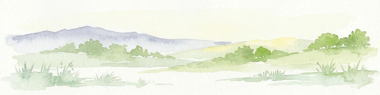
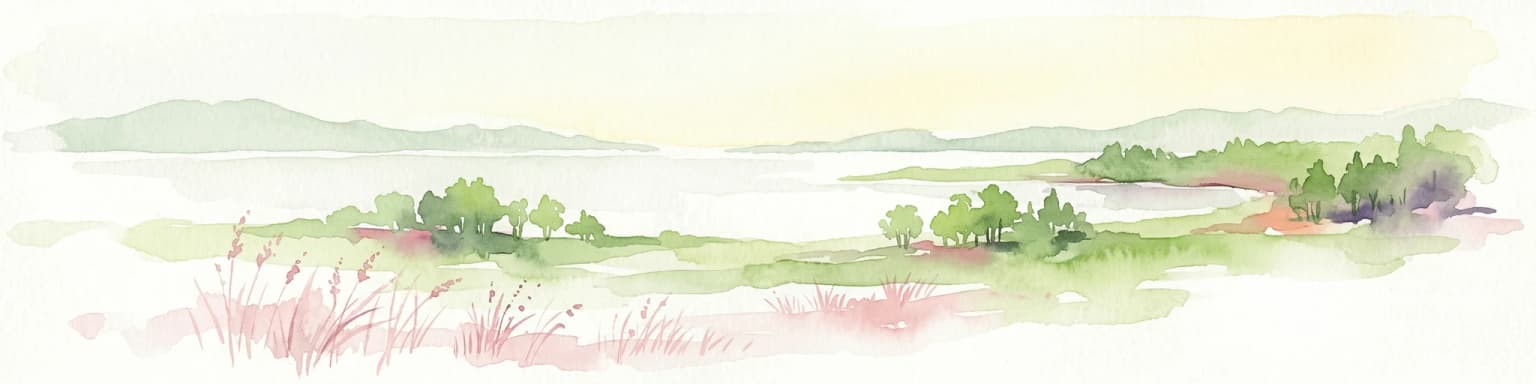
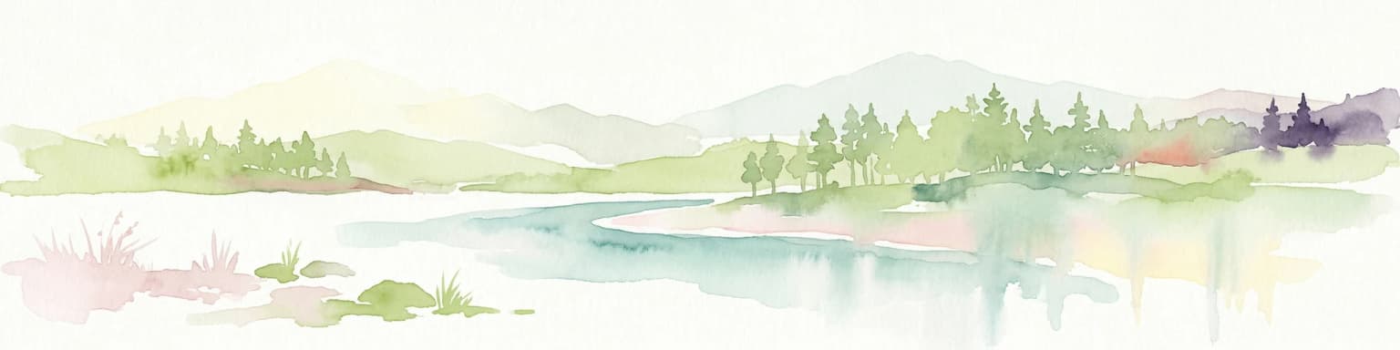
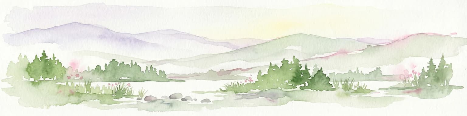
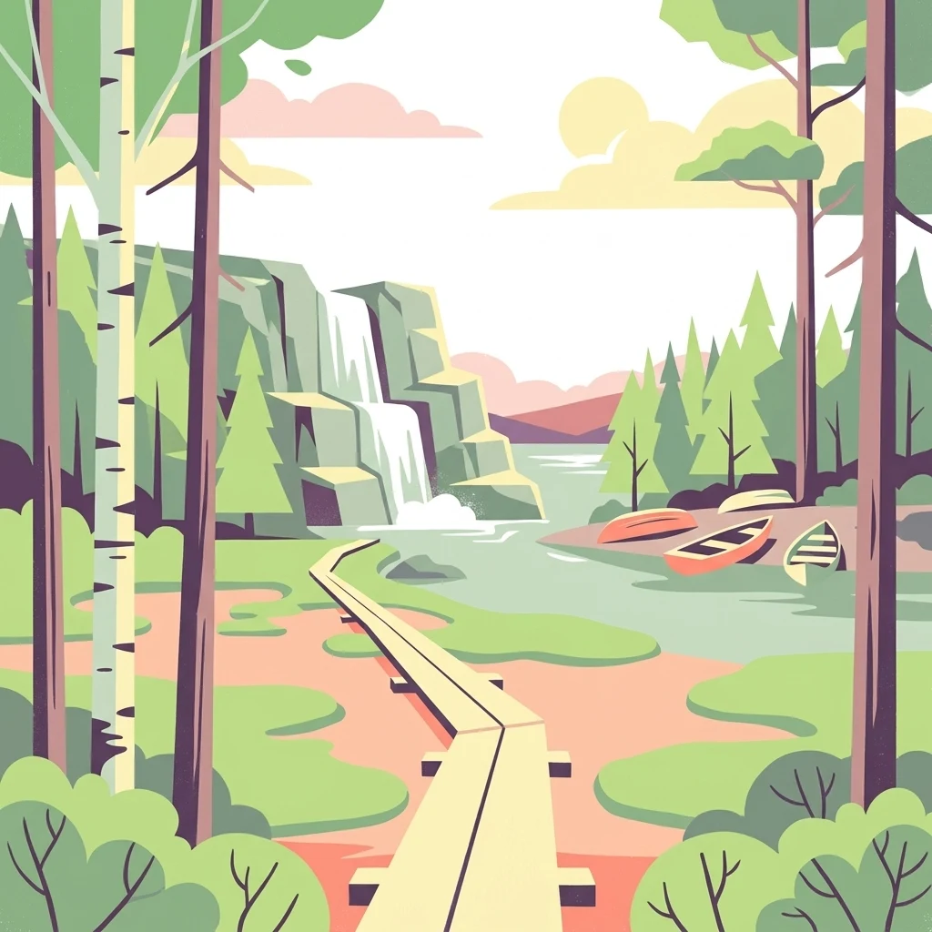
The landscape of Teijo National Park consists of gently rolling terrain typical of Southwest Finland's coastal forest zone. The predominant forest type is pine-dominated woodland that developed under managed forestry, creating a relatively uniform canopy of younger trees across much of the park area. Wetland areas punctuate the forested terrain, with the eutrophic fen representing the most ecologically significant of these marshes. This fen type, characterized by nutrient-rich conditions and distinctive vegetation, has become exceedingly rare in southern Finland as similar wetlands were drained for agriculture or forestry. The landscape lacks dramatic elevation changes but offers pleasant undulating terrain suitable for hiking. The Kirjakkala area introduces industrial elements into the natural landscape, with restored log buildings and the remains of iron working facilities providing visual evidence of 19th-century manufacturing activity that once characterized the broader region.

Teijo National Park ecosystems, habitats, and plant life

The ecological character of Teijo National Park centers on its pine forest communities and the rare eutrophic fen that serves as a botanical stronghold for species adapted to nutrient-rich wetland conditions. The fen represents one of the last surviving examples of this habitat type in southern Finland, where the majority of similar wetlands have been lost to drainage and land conversion. These conditions support specialized plant communities including various sedges, mosses and wetland shrubs that depend on the unique hydrological and nutrient characteristics of eutrophic mires. The forest habitats, while younger than natural old-growth, still support diverse bird communities including species that nest in the wetland margins and open forest clearings. The combination of forest and wetland creates habitat diversity that supports mammal species including moose and deer that browse in the forested areas. Freshwater fish inhabit the streams and ponds scattered throughout the park, adding to the overall biodiversity value.

Teijo National Park wildlife and species highlights

Teijo National Park supports diverse wildlife populations across its forest and wetland habitats. The bird community is particularly noteworthy, with several species of waterfowl and ground-nesting birds breeding within the park boundaries. Canada geese nest along wetland margins, while cranes occupy suitable marshy areas for breeding. Wood sandpipers and grouse also breed in the park, representing species that depend on the mix of open wetland and forested habitats. The mammal community includes moose as the largest species, along with various deer species that browse through the forest. These larger mammals influence vegetation patterns through their feeding activities. Freshwater fish populate the park's streams and small lakes, providing ecological connections between aquatic and terrestrial food webs. The eutrophic fen supports its own specialized invertebrate community adapted to the unique wetland conditions, adding to the overall species diversity that the park protects.

Teijo National Park conservation status and protection priorities

Teijo National Park contributes to Finland's conservation network by protecting one of the last remaining eutrophic fens in the southern part of the country, a habitat type that has been dramatically reduced through historical drainage and land conversion. This single rare wetland represents significant conservation value, serving as a refugium for species that depend on nutrient-rich mire conditions that are now scarce regionally. The park also preserves the Kirjakkala iron works area, maintaining cultural heritage alongside natural values. The forest communities, while not old-growth, provide habitat for species that can utilize younger forest stages and contribute to biodiversity across the broader landscape. The park's trail system is designed to allow visitor access while minimizing disturbance to sensitive areas, with accessible routes ensuring that visitors with mobility limitations can experience the protected landscape. Management by Metsähallitus follows conservation-oriented approaches that prioritize habitat protection while providing compatible recreational opportunities.

Teijo National Park cultural meaning and human context

The cultural heritage dimension of Teijo National Park centers on the Kirjakkala iron works area, a former industrial site that has been integrated into the protected landscape. The iron works operated during the 1800s, establishing the Kirjakkala area as a manufacturing center that contributed to the regional economy during Finland's period under Russian rule. Several log buildings from this industrial period have been preserved and restored, standing as physical reminders of the area's historical significance beyond its natural values. These structures have been returned to their original appearance, creating a historical landscape that contrasts with the surrounding forest and wetland environments. The presence of these industrial-era buildings adds human history to the natural environment, representing the long relationship between local communities and the landscape that now forms the national park. This blend of cultural and natural heritage provides visitors with a more complete understanding of the land's history and its evolution from industrial use to conservation protection.

Top sights and standout views in Teijo National Park

The eutrophic fen stands as Teijo's most significant ecological highlight, representing a nearly vanished habitat type in southern Finland and supporting specialized species communities. The Kirjakkala iron works area with its restored 19th-century log buildings offers a unique cultural contrast within a national park context. The approximately 50 kilometres of hiking trails, including an accessible 3-kilometre route, provide extensive opportunities for exploration across varied forest and wetland terrain. Diverse birdlife including nesting cranes, geese and grouse attracts wildlife observation interest, while moose and deer maintain a visible presence in the forested areas. The park's position in Southwest Finland makes it accessible to visitors from the Turku region and beyond, while its relatively recent establishment means the natural environment continues to develop toward more mature forest conditions.

Best time to visit Teijo National Park

The optimal time to visit Teijo National Park depends on the experiences visitors seek. Summer months from June through August offer the warmest conditions for hiking the extensive trail network, with long daylight hours allowing extended exploration. The wetland areas are particularly alive during summer when bird nesting is active and vegetation is in full growth. Autumn brings color to the pine forests and provides good conditions for mushroom foraging, a popular Finnish activity in the surrounding forests. Winter offers a different character as snow covers the terrain, though the trail system is maintained for cross-country skiing in appropriate conditions. Spring provides the opportunity to observe migrating birds returning to the wetland areas and the fresh green emergence of forest vegetation. The accessible trail remains usable throughout the year for visitors with mobility limitations, making the park inclusive across seasons.

Park location guide

Geography guide, regional context, and park location map for Teijo National Park

Teijo National Park park geography, regions, and map view in Finland
Understand where Teijo National Park sits in Finland through a broader geographic reading of the surrounding landscape, nearby location context, and its mapped position within the national park landscape.

How Teijo National Park fits into Finland

Finland, officially the Republic of Finland, is a Nordic country in Northern Europe with a population of 5.6 million. It borders Sweden, Norway, and Russia, with the Gulf of Bothnia to the west and the Gulf of Finland to the south. The country gained independence from Russia in 1917 and is a unitary parliamentary republic. Its landscape is characterized by extensive boreal forests and over 180,000 lakes.

Wider geography shaping Teijo National Park in Finland

Finland is located in Northern Europe, occupying a peninsula bordered by the Gulf of Bothnia to the west and the Gulf of Finland to the south. It shares land borders with Sweden to the northwest, Norway to the north, and Russia to the east. The terrain is predominantly flat with extensive forest coverage and numerous lakes.

Map view of Teijo National Park

Use this park location map to pinpoint Teijo National Park in Finland, understand its exact geographic position, and read its mapped placement within the surrounding landscape more clearly.

Pigeon | © OpenStreetMap contributors

Location context for Teijo National Park

Southwest Finland
Park atlas

Explore the regional spread of forested landscapes, wetlands, and historical sites within Finland's southern coastal zone.

Discover Nearby National Parks and Protected Areas Beyond Teijo National Park in Southwest Finland
After exploring Teijo National Park, browse other protected areas and national parks across Southwest Finland, comparing unique wetland habitats, managed forests, and cultural heritage sites within the coastal region. This structured atlas view helps you trace the distribution of conservation landscapes and understand the distinct natural features of Finland's southern protected-area geography.
National parkUusimaa

Ekenäs Archipelago National Park: Mapped Baltic Sea Archipelago Landscape

Protected marine area with island geography in Uusimaa, Finland.

Delve into the unique protected landscape of Ekenäs Archipelago National Park, a premier example of a Baltic Sea marine protected area. Located in the Uusimaa region, this national park encompasses a vast expanse of coastal waters dotted with hundreds of rocky islets and skerries. MoriAtlas provides detailed geographic context, allowing for exploration of its mapped boundaries, island formations, and critical role as a sanctuary for breeding aquatic birds. Understand its place within Finland's protected areas atlas and appreciate its distinctive marine archipelago character.

Area
52 km²
Established
1989
IUCN
II
Visitors
53.6K annual
Watercolor painting showing green hills, trees, and a stream in a landscape
National parkSouthwest Finland

Kurjenrahka National Park: Southwest Finland's Protected Landscape Atlas Entry

Discover geographic context and park boundaries.

Delve into Kurjenrahka National Park, a designated national park situated in Southwest Finland. This page provides an atlas-focused view of the park, detailing its protected landscape identity, mapped terrain, and its specific geographic location within the broader Finnish region. Understand the park's ecological context and its significance as a key protected area for regional geographic exploration.

Area
29 km²
Established
1998
IUCN
II
Visitors
66.8K annual
Watercolor illustration of a landscape featuring a body of water, trees, and distant mountains
National parkKanta-Häme

Torronsuo National Park: Explore Finland's Exceptional Raised Bog Ecosystem and Kanta-Häme Geography

Discover mapped peatlands, unique birdlife, and protected boreal wilderness.

Torronsuo National Park stands as a testament to Finland's remarkable wetland conservation efforts, presenting a striking example of a raised bog ecosystem. Located within the Kanta-Häme region, this national park is celebrated for its vast, domed peat landscape, some of the thickest peat layers ever measured in Finland, and its status as a Ramsar-designated wetland. The park's protected status ensures the preservation of its unique natural terrain, which supports a rich diversity of northern bird species and specialized bog flora, making it a significant area for ecological and geographic exploration.

Area
25.5 km²
Established
1990
IUCN
II
Visitors
58.6K annual
National parkFinland

Archipelago National Park: Mapped Protected Landscape and Geographic Context in Finland

Explore protected area boundaries and natural terrain.

Archipelago National Park represents a vital component of Finland's protected lands. This page serves as an atlas-focused entry point, detailing the park's specific geographic context, its mapped protected area boundaries, and the nature of its landscape. Understand how this national park contributes to the broader regional geography of Finland and the Nordic region, aiding structured discovery through maps and geographic data.

Area
500 km²
Established
1983
IUCN
II
Visitors
78.8K annual
Watercolor painting showing a lake surrounded by vegetation with rolling hills in the background
National parkKanta-Häme

Liesjärvi National Park: Protected Landscape in Kanta-Häme's Finnish Lakeland

Explore its mapped geography and protected area context.

Liesjärvi National Park is a designated national park situated in the Kanta-Häme region, a landscape rich with the characteristic features of southern Finland's Finnish Lakeland. This page serves as a focused entry point for understanding the park's protected status, its unique geographic setting, and its contribution to the regional atlas of natural landscapes. By examining Liesjärvi National Park, users gain insight into the mapped terrain and conservation efforts that define this part of Finland, fostering a deeper appreciation for protected areas.

Area
22 km²
Established
1956
IUCN
II
Visitors
57.3K annual
National parkUusimaa

Nuuksio National Park: Uusimaa Region Protected Landscape Atlas Entry

Mapped boundaries and geographic context for a Finnish National Park.

Access detailed geographic information and mapped boundaries for Nuuksio National Park, a protected national park within the Uusimaa region. This MoriAtlas entry provides context for understanding its landscape within Finland, focusing on atlas-style exploration and the identification of protected natural areas.

Area
53 km²
Established
1994
IUCN
II
Visitors
312.6K annual
National parkPirkanmaa

Puurijärvi-Isosuo National Park: Protected Landscape Discovery in Pirkanmaa Region

Explore mapped protected areas and regional geography.

Puurijärvi-Isosuo National Park is a significant protected area in Finland's Pirkanmaa region. This entry provides detailed geographic context and maps the park's boundaries, offering a focused perspective for atlas-driven discovery of Finnish natural landscapes. Understand its place within the regional geography and the wider network of protected lands.

Area
27 km²
Established
1993
IUCN
II
Visitors
19.8K annual
Watercolor illustration showing green trees, a river, and rolling hills under a soft sky
National parkUusimaa

Sipoonkorpi National Park: Protected Landscape and Geography in Uusimaa

Explore Finland's key national park and its natural terrain.

Discover Sipoonkorpi National Park, a vital protected landscape in Finland's Uusimaa region. This page offers detailed insight into its mapped boundaries, diverse boreal forests, extensive swamp areas, and the unique terrain that defines this significant natural area. Understand its role as one of the last undeveloped green spaces near the Helsinki metropolitan area and explore its geographic context within southern Finland.

Area
18.57 km²
Established
2011
IUCN
II
Visitors
165.5K annual

Common questions about visiting, size, designation, and location context for Teijo National Park

Teijo National Park FAQs for park facts, access, geography, and protected area context
Find quick answers about Teijo National Park, including protected-area facts, park geography, trail and visitor context, and how the park fits into its surrounding country and regional landscape.
MoriAtlas Explorer

Continue Your Protected Areas Search Across the Global Atlas

Deepen your exploration by continuing the structured search for national parks and protected areas worldwide. Utilize the comprehensive filtering capabilities to compare different conservation landscapes and refine your understanding of global park geography. Discover more about the distribution and characteristics of protected natural areas.

Global natural geography