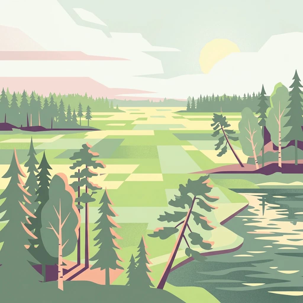

Why Kurjenrahka National Park stands out
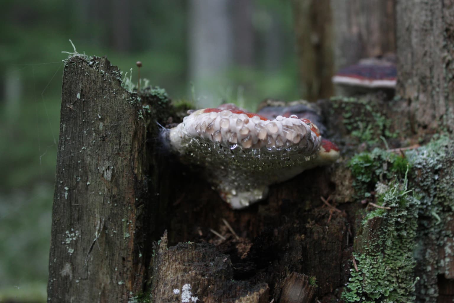
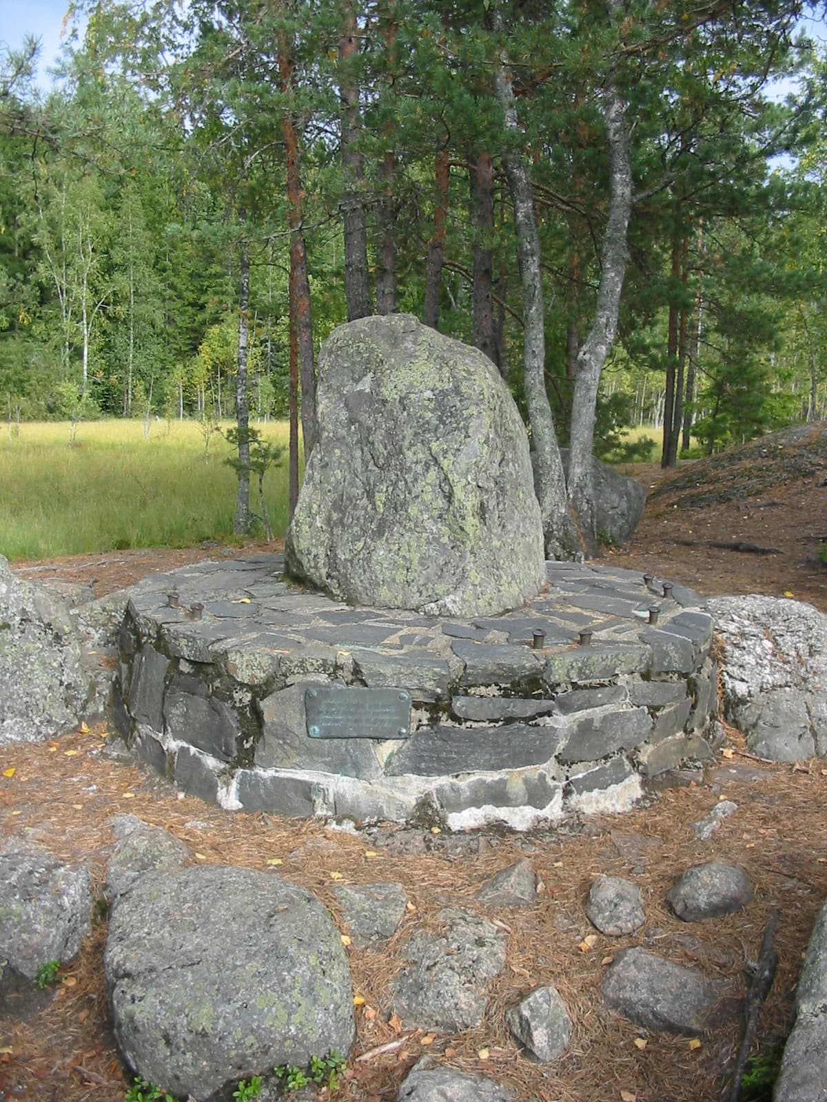
Kurjenrahka is best known for its extensive, relatively untouched raised bog ecosystems that represent the finest examples of southern Finnish peatland wilderness. The Pukkipalo old-growth forest area is particularly distinguished, featuring some of the oldest trees in the region with abundant deadwood and diverse dependent species. The park is also notable for hosting rare and endangered species at the southern edge of their range, including the flying squirrel and several threatened moth species. The historic Kuhankuono boundary stone, marking an ancient parish border dating to at least 1381, provides a unique cultural landmark within the natural landscape.
Kurjenrahka National Park history and protected-area timeline
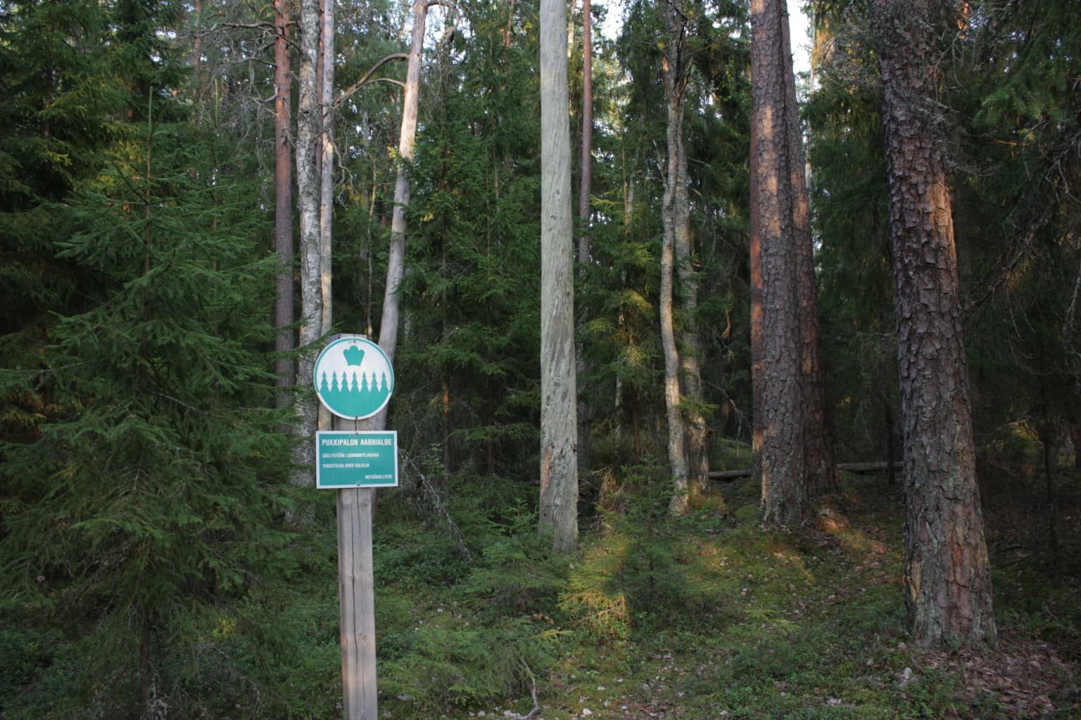
The history of human activity in what is now Kurjenrahka National Park extends back to the Stone Age, with the earliest evidence found at Saksala in the centre of the present-day park area. The first written mention of the region dates to 1381, when the Kuhankuono boundary stone was recorded as a border marker between Masku and Nousiainen parishes. During the medieval period, the forests around Kuhankuono were common land (yhteismaa) owned collectively by the surrounding parishes, designated as parish forests (pitäjänmetsä) established in the 1300s. The first detailed map of the area dates to 1550, created by royal scribe Jaakko Teitti, showing the seven parishes that converged at the Kuhankuono boundary stone. In the early 1800s, two manors, Uudenkartano and Yläneenkartano, acquired the former parish forests, but financial difficulties forced them to sell the land to the state by the late 19th century. Before the sale, the manors had clear-cut most accessible forest areas, though some islands in the middle of the mires remained unlogged. Peat extraction for livestock bedding occurred in the 1950s and 1960s, and limited logging continued into the mid-1950s. The first conservation action came in 1958 when Metsähallitus designated Pukkipalo as an old-growth forest reserve. After decades of campaigning by the Finnish Nature League's Varsinais-Suomi branch, the national park was finally established on 1 January 1998 based on legislation passed in December 1997, becoming Finland's 32nd national park and the first on the Varsinais-Suomi mainland.
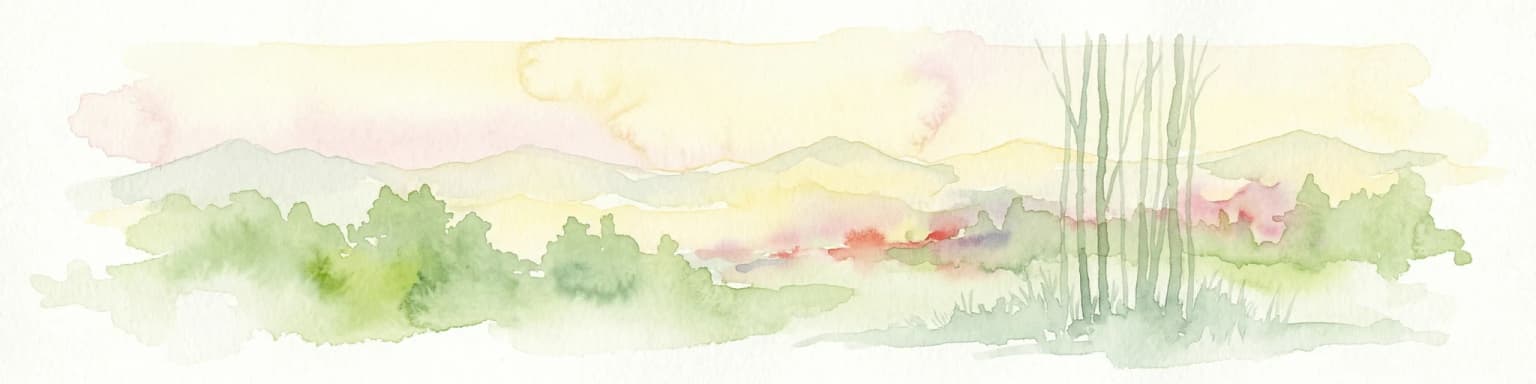
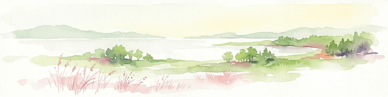
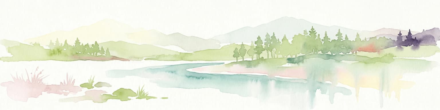
Kurjenrahka National Park landscape and geographic character
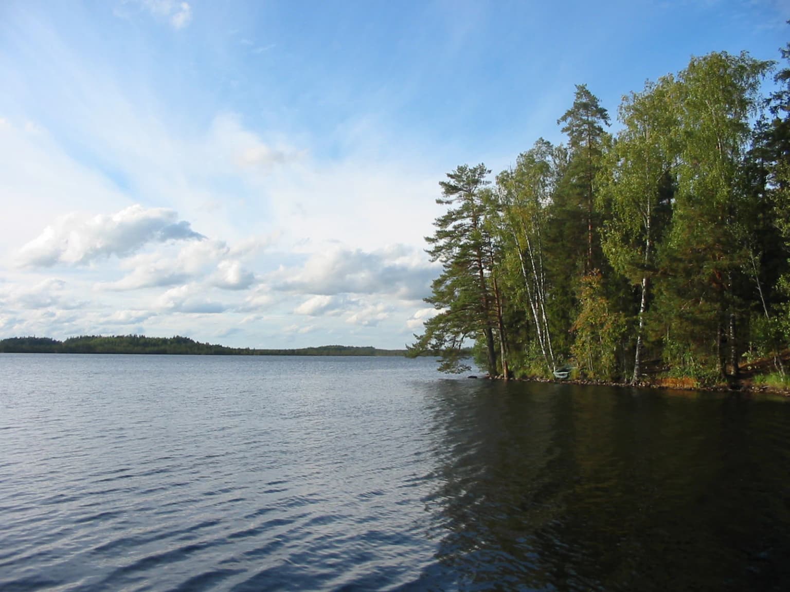
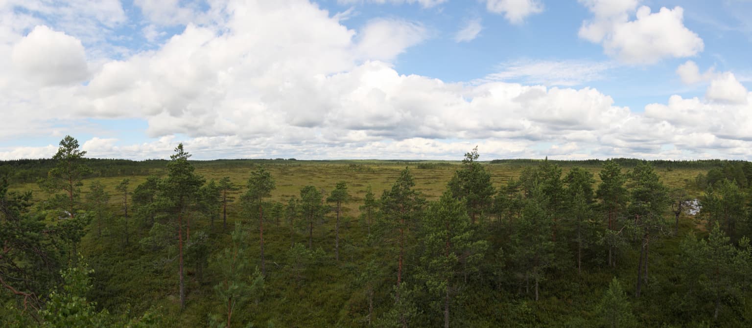
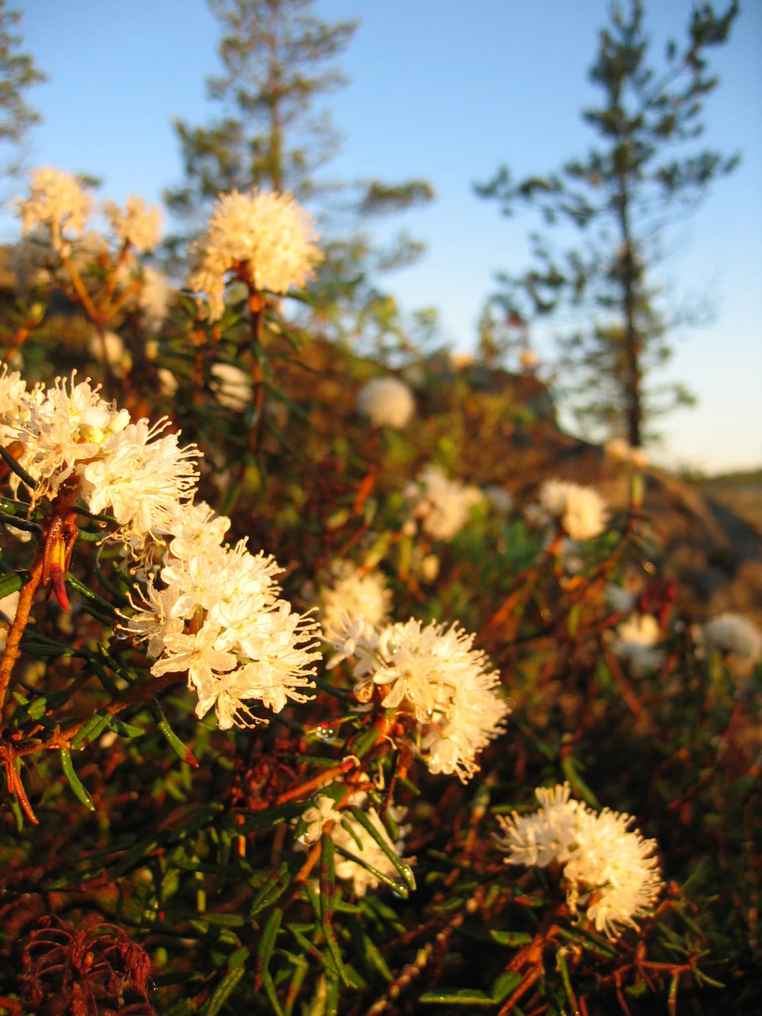
The physical landscape of Kurjenrahka National Park is dominated by vast raised bogs that form the core of the protected area. The three largest contiguous bogs, Kurjenrahka, northern Lammenrahka, and Vajosuo, are all examples of raised bogs characterized by distinctive patterns of drier bog ridges (kermit) alternating with wetter flarks (kuljut). The most extensive is the park's namesake Kurjenrahka bog, covering over 20 square kilometres and representing the largest continuous bog in Varsinais-Suomi and nearly all of southern Finland. On the drier ridges, scattered pines grow alongside abundant bog rosemary, while the wet flarks are filled with peat mosses. The raised bog margins are typically well-developed, and the bogs receive all their water and nutrients from precipitation, making them ombrotrophic. Around the bogs, mineral soil islands support pine forests on dry heath sites and spruce-dominated forests in lower areas. The park contains two significant lakes: Savojärvi, a dystrophic (bog-fed) lake of 124 hectares, and the much smaller Lakjärvi at 3 hectares. The landscape also features numerous small bog pools (allikot) that provide important habitat for breeding waders. The underlying soil is primarily till and exposed bedrock, with glacial eskers and kame formations present in some areas.
Kurjenrahka National Park ecosystems, habitats, and plant life
The ecological character of Kurjenrahka is defined by its position in the southern boreal forest zone and its extensive peatland ecosystems. The park lies in the southernmost part of the northern coniferous forest biome, where the influence of the Baltic Sea creates relatively mild winter conditions and spring/early summer drought periods. The growing season at Saksala in the centre of the park lasts approximately 172 days with a mean temperature of 12°C. Annual precipitation is around 700mm, with permanent snow cover typically arriving around December 17 and disappearing around April 20. The bogs represent the ombrotrophic type, receiving all water and nutrients from rainfall, while the smaller minerotrophic fens at margins are also predominantly nutrient-poor. The forest types surrounding the bogs include dry heath forests, mesic heath forests (mustikkatyyppi), and small areas of herb-rich forest. The vegetation is typical of southern Finnish bog communities, with species including bog rosemary, heather, lingonberry, cloudberry, and various cottongrass and sedge species. The park contains at least 14 species of sphagnum mosses and diverse sedge communities.
Kurjenrahka National Park wildlife and species highlights
Kurjenrahka supports a diverse fauna that includes both typical bog species and rare wilderness species at the southern edge of their range. The bird community is particularly notable, with at least 68 species breeding in the park. Several northern species reach their southernmost breeding grounds here, including willow grouse (riekko) and Lapland longspur (pohjansirkku). The endangered species include wryneck (käenpiika) and red-breasted flycatcher (tiltaltti), both classified as vulnerable in Finland. The old forests support species such as raven, Tengmalm's owl, Ural owl, black woodpecker, black grouse, and capercaillie. The mammal community includes Eurasian lynx as a permanent resident, with brown bears and gray wolves also present in or near the park. The flying squirrel (liito-orava) inhabits the old mixed forests at bog edges. Other mammals include red fox, pine marten, raccoon dog, badger, otter, moose, white-tailed deer, and roe deer. The park also hosts rare invertebrates including the endangered rosopehkiäinen beetle, and several threatened moth species such as the cloudberry fritillary and the scarce fritillary.
Kurjenrahka National Park conservation status and protection priorities
Kurjenrahka National Park was established specifically to protect representative examples of southern Finnish bog and forest ecosystems and the species they support. The park forms part of the wider Natura 2000 network, with the surrounding Natura area covering approximately 31 square kilometres. The conservation values emphasized in the park's management plan include the extensive and natural bog systems, the old-growth forest elements, the presence of rare and endangered species at the edge of their main ranges, the region's tourism appeal, and the area's significance for wilderness trekking. The park also falls within the national network of strictly protected mires under Finland's bog conservation programme. Restoration work has been carried out in areas that were previously ditched, including blocking drainage channels, adding deadwood, removing forest roads and planted trees, and conducting controlled burning to restore natural conditions. However, not all drainage ditches can be blocked as they affect the water economy of lands outside the park.
Kurjenrahka National Park cultural meaning and human context
The cultural landscape of Kurjenrahka carries historical significance rooted in the medieval period when the area served as common parish land. The Kuhankuono boundary stone, dating to at least 1381, marks an ancient border point where the territories of seven parishes met, creating a traditional meeting place and landmark. This historical boundary function is reflected in the name Kuhankuono, which either refers to the shape of the rocky ridge resembling a beak (kuono) or serves as a term for boundary markers and wilderness trails. The first permanent settlement in the area developed in the 1700s, with the first documented permanent residents being Johan and Maria Bärnstedt who moved to Savojärvi in 1757. By the late 1800s, the state had acquired most of the land through purchase from struggling manors, and the area remained relatively sparsely populated due to poor transport connections. The establishment of the regional road (Seututie 204) in the 1930s-1940s and the impacts of World War II brought changes, including the establishment of a military shooting range and settlement schemes that brought new residents to the surrounding areas.
Top sights and standout views in Kurjenrahka National Park
Kurjenrahka offers several standout features that distinguish it within Finland's national park network. The Kuhankuono boundary stone is the most famous landmark, representing an ancient seven-parish border point with historical significance dating to the 14th century. The Pukkipalo old-growth forest contains some of the oldest trees in Southwest Finland with exceptional amounts of deadwood, supporting specialized fungi and invertebrates. The park contains over 200 kilometres of marked trails as part of the Kuhankuono hiking trail network, with six circular routes and numerous shelters. The two nature towers at Vajosuo and Kurjenrahka provide elevated views across the bog landscape. The visitor centre at Kurjenpesä offers accessible facilities and exhibitions explaining the bog ecosystem from the crane's perspective. Savojärvi lake, one of the few significant water bodies in the park, provides additional recreational opportunities and supports fish populations including perch, roach, pike, and introduced species.
Best time to visit Kurjenrahka National Park
The park can be visited year-round, though each season offers different experiences. The summer months from June to August are popular for hiking and wildlife viewing, though midsummer can be dry and some trails may be dusty. Autumn (September to October) is particularly recommended, as visitor surveys indicate it is the most popular season, with families particularly drawn to the area for day trips. The autumn colours on the surrounding pine forests and the migratory bird movement add to the appeal. Winter offers a different character, with the bogs providing opportunities for cross-country skiing and winter hiking, though the park does not maintain regular tracks. The snow cover typically lasts from mid-December to mid-April, with snow depths reaching 40-45 centimetres in the more elevated areas. Spring (May) can be challenging due to wet conditions in the bogs but offers excellent birdwatching opportunities. Visitors should note that certain areas have access restrictions during the bird breeding season from mid-April to mid-July to protect nesting birds, particularly at Lammenrahka where access is prohibited from mid-January to mid-July.