Mori Atlas logo
National parkŽemaitija National Park

Discover the mapped terrain and protected areas of northwestern Lithuania's notable natural reserve.

Žemaitija National Park: Protected Glacial Landscape and Lake District

(Žemaitijos nacionalinis parkas)

Žemaitija National Park represents a significant protected landscape in northwestern Lithuania, meticulously preserved as a Category II natural area. Established in 1991, this park spans 217 square kilometers of distinctive terrain shaped by glacial forces approximately 12,000 years ago, with elevations ranging from 150 to 190 meters. The park's geography is characterized by numerous lakes, including the vast Lake Plateliai, alongside extensive forests and river valleys, offering a rich mosaic of habitats and a compelling subject for geographic and atlas exploration.

national parkglacial landscapelake districtwetlandsforested parkwolf habitat
Stylized illustration of a waterfall, cliffs, lake, and forested landscape with grassy foreground

Žemaitija National Park

National park

Park overview

Structured park overview, official facts, and landscape profile for Žemaitija National Park

Žemaitija National Park park facts, protected area profile, and essential visitor context
Review the core facts for Žemaitija National Park, including designation, size, terrain, visitor scale, habitats, and operating context in one park-focused overview.

About Žemaitija National Park

Žemaitija National Park protects a distinctive landscape in northwestern Lithuania that reflects both geological and cultural history. The park occupies portions of the Samogitian Upland, a region of relatively elevated terrain formed during the last glacial period. When the continental ice sheet retreated approximately 12,000 years ago, it left behind a terrain of hills, lakes, and wetlands that characterizes the modern park. The elevation differences of 150 to 190 meters create visual prominence in what is otherwise a flat Baltic landscape, and the numerous lakes, including the large Plateliai, resulted from glacial deposition patterns that created natural depressions. The park's establishment in 1991 reflected growing recognition that this region possessed both natural and cultural values worth protecting. The administrative center at Plateliai provides access to the lake and surrounding attractions, while the park's network of trails, viewing points, and interpretive facilities helps visitors understand the ecological and historical significance of the area.

Quick facts and research context for Žemaitija National Park

Located in Lithuania's historical Žemaitija (Samogitia) region, the park straddles primarily the Plungė district with a smaller portion in the Skuodas district. The landscape reflects the last glaciation's retreat, leaving behind an undulating terrain of hills, kettle lakes, and glacial outwash features. Lake Plateliai with its islands forms the ecological and recreational core of the park, while the surrounding forests, wetlands, and river valleys support significant biodiversity including Atlantic salmon, freshwater whitefish, wolves, lynxes, and nine bat species. The park was established to preserve the natural and cultural heritage of this distinctive part of Lithuania.

Park context

Deeper park guide and search-rich context for Žemaitija National Park

Žemaitija National Park history, landscape, wildlife, and travel context
Explore Žemaitija National Park through its history, landscape character, ecosystems, wildlife, conservation priorities, cultural context, and seasonal travel timing in a structured park guide built for atlas discovery and search intent.

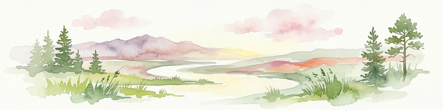
Why Žemaitija National Park stands out

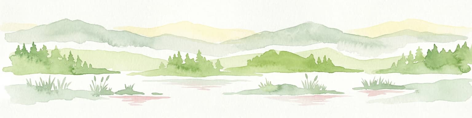
Žemaitija National Park is best known for its glacially sculpted landscape of rolling hills and kettle lakes, with Lake Plateliai as the centerpiece. The park preserves one of Lithuania's most significant wetland complexes and supports populations of large mammals including wolves and lynxes. The area also holds exceptional cultural significance as the heartland of Samogitian heritage, with the historic Žemaičių Kalvarija site representing important religious and traditional dimensions of Lithuanian culture.

Žemaitija National Park

Žemaitija National Park history and protected-area timeline

Žemaitija National Park was established in 1991 as part of Lithuania's post-independence effort to create a comprehensive system of protected areas. The establishment came during a period of renewed national identity and recognition of the importance of preserving natural and cultural heritage. The park was specifically created to conserve the Plateliai lake ecosystem and surrounding natural complexes, while also protecting the rich cultural heritage of the Samogitian region. The designation followed Lithuania's restoration of independence from Soviet control, reflecting a broader movement to identify and protect areas of national significance. Since establishment, the park has developed visitor infrastructure including nature trails, viewing platforms, and educational facilities, while maintaining its core conservation mission.

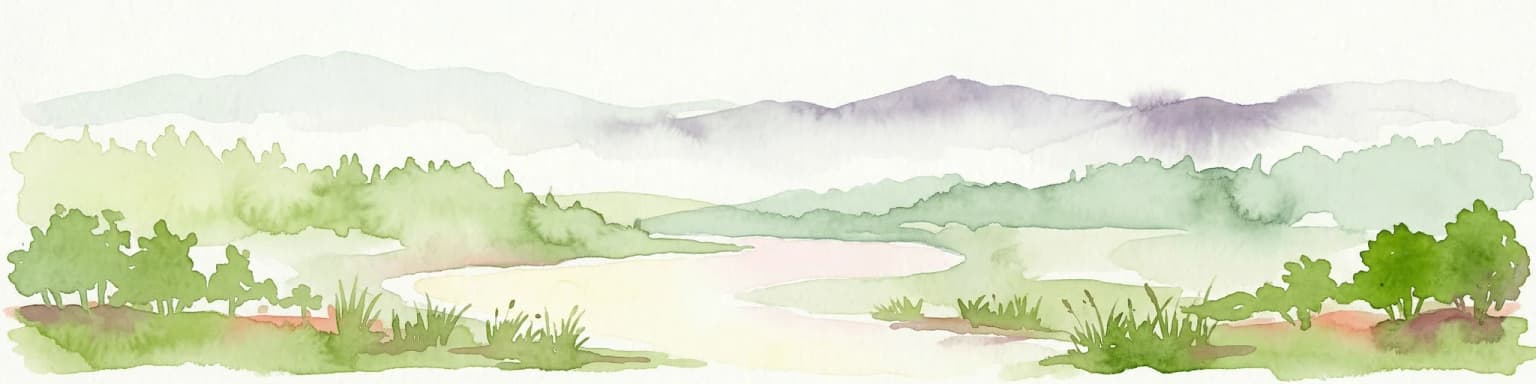
Žemaitija National Park landscape and geographic character

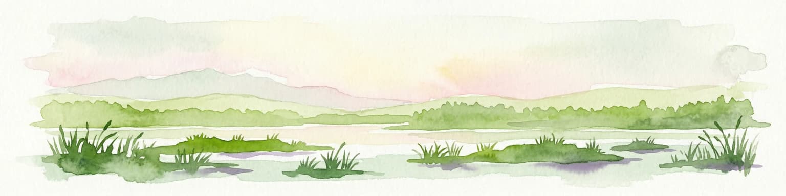
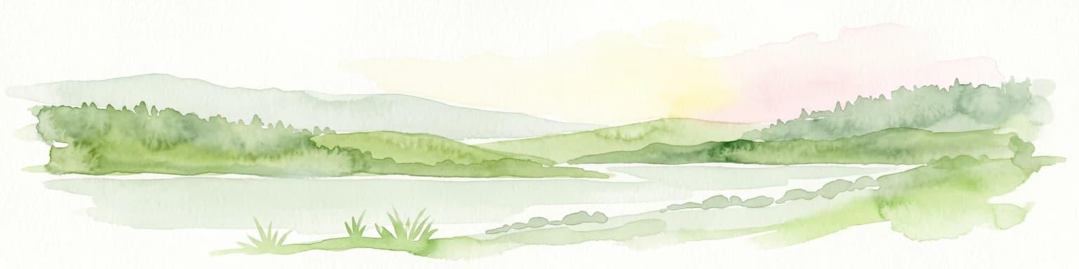
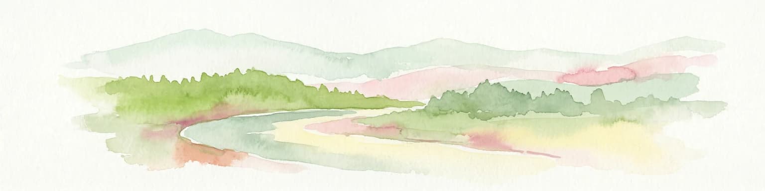
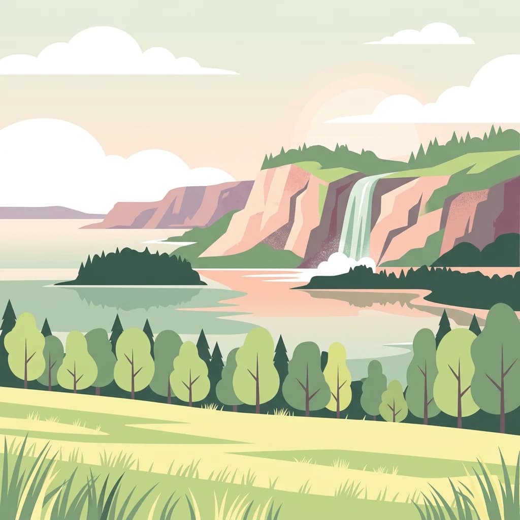
The landscape of Žemaitija National Park is defined by glacial terrain. The hills, reaching 150 to 190 meters above sea level, were formed as the Pleistocene ice sheet retreated and deposited morainic material across the region. These relatively high hills stand in contrast to the generally flat terrain of the Baltic lowlands, giving the park a distinctive topographic character. Lake Plateliai dominates the aquatic landscape, covering 12 square kilometers with a maximum depth of 47 meters. The lake contains several islands and is surrounded by smaller kettle lakes, creating a complex hydrographic system. Beyond the major lake, approximately 25 smaller lakes are scattered throughout the park. Glacial rivers including the Babrungas and Mergupis have cut valleys through the terrain, while the Gardai esker represents a distinctive linear sand formation left by glacial meltwater. Forested wetlands, particularly at Plokštinė and Rukundžiai, add to the landscape diversity.

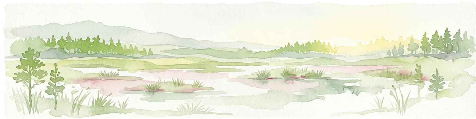
Žemaitija National Park ecosystems, habitats, and plant life

The nature of Žemaitija reflects the park's diverse habitat mosaic. Forests cover approximately 45 percent of the park's territory, occurring in blocks and strips across the landscape. Forested wetlands at Plokštinė and Rukundžiai represent particularly valuable ecological communities, while the hydrographic complexes surrounding Lake Plateliai, Laumalenka, and Šilinė create transitional zones between aquatic and terrestrial environments. The river valleys of the Gardai esker, Babrungas, and Mergupis support riparian habitats, while numerous wetlands including Paburgė, Siberia, Pakastuva, Užpelkių, Ertenis, and Paparčiai provide water-loving species with habitat. The Paplatelės, Šeirė, and Pailgis forests showcase distinct forest types, and the Juodupis wetlands represent rare wet meadow ecosystems. Lake Plateliai itself supports fisheries including rare species such as Atlantic salmon and freshwater whitefish (Coregonus albula and Coregonus lavaretus). The park also contains the notable Witch Ash tree, a remarkable specimen measuring 7.2 meters in circumference, 2.1 meters in diameter, and 34 meters in height.

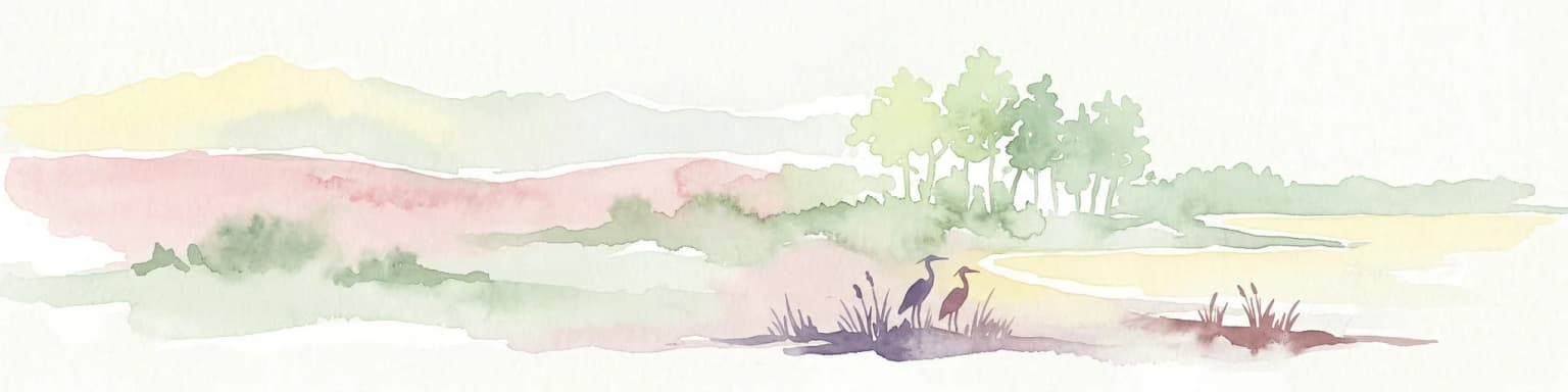
Žemaitija National Park wildlife and species highlights

Wildlife in Žemaitija National Park includes both common European species and notable rarities. The large mammal community features wolves (Canis lupus) and lynxes (Lynx lynx), both of which maintain populations in the forested terrain. These predators find suitable habitat in the mix of forests, wetlands, and open areas. Nine species of bats utilize the park for foraging and shelter, representing significant nocturnal biodiversity. In the aquatic environment, Lake Plateliai supports populations of Atlantic salmon (Salmo salar) and freshwater whitefish species (Coregonus albula and Coregonus lavaretus), with the latter including both the local form known as the Plateliai whitefish. The diverse wetlands provide habitat for numerous bird species, and the Pakastuva lake includes a bird observation tower for wildlife viewing.

Žemaitija National Park conservation status and protection priorities

Žemaitija National Park serves as an important conservation area for Lithuania's natural heritage. The park protects the largest lake in Samogitia and its surrounding ecosystem, preserving both aquatic and terrestrial habitats. The forested wetlands, river valleys, and diverse habitat mosaic support species assemblages that would otherwise be vulnerable to fragmentation or loss. The presence of apex predators such as wolves and lynxes indicates a functional ecosystem with intact trophic dynamics. The park's IUCN Category II designation reflects its role in preserving natural landscapes while allowing for sustainable visitor use. The protection of rare fish species in Lake Plateliai further emphasizes the conservation significance of the area.

Žemaitija National Park cultural meaning and human context

Žemaitija National Park contains significant cultural heritage reflecting the Samogitian region's historical importance. The park encompasses an archaeological complex in northern Žemaitija featuring 11 hillforts (piliakalniai) and hill-alkakalniai, concentrated in the northwestern part of the park and often forming unified complexes. The historic Plateliai manor estate and Pilies Island fortress site represent the area's aristocratic heritage, while underwater remnants of an ancient wooden bridge can still be observed. Žemaičių Kalvarija (also known as Gardai) is a widely known town featuring a church and chapels representing the Christ's Way of the Cross tradition, with the Great Žemaičių Kalvarija Festival continuing longstanding traditions. Traditional villages including Beržoras, Godeliai, Šarnelė, Stirbaičiai, and Visvainiai maintain elements of Samogitian rural architecture and culture. The park also contains a Cold War museum in the former Plokštinė rocket base, offering guided tours through underground tunnels and a 27-meter-deep rocket shaft.

Top sights and standout views in Žemaitija National Park

Žemaitija National Park offers visitors a combination of natural landscapes and cultural heritage. Lake Plateliai provides the focal point for recreation, with sailing, fishing, and scenic boat trips available. The park maintains several cycling routes and hiking trails, including a 4.1-kilometer nature trail near Plateliai that showcases unique natural values. Viewing points at Jazminų and Medsėdžių hills, as well as the Mikytai alkakalnis, offer panoramic perspectives over the lake and surrounding terrain. The annual Žemaičių Kalvarija Festival draws thousands of visitors, while the Plateliai Regatta in late July provides a sailing spectacle. The Cold War museum at the former Plokštinė missile base offers a distinctive historical experience with underground access to former military infrastructure.

Best time to visit Žemaitija National Park

The park can be visited throughout the year, with each season offering distinct experiences. Summer brings the warmest conditions for outdoor activities on Lake Plateliai, including sailing, swimming, and fishing, while the forest trails and viewing points are fully accessible. The late July Plateliai Regatta and the Žemaičių Kalvarija Festival in summer draw significant visitor interest. Autumn offers changing forest colors and good conditions for wildlife observation, while the wetter conditions may affect some trail accessibility. Winter transforms the landscape with snow cover on the hills, though reduced daylight limits some activities. Spring brings bird migration and the renewal of vegetation, though the shoulder season sees fewer visitors than summer.

Park location guide

Geography guide, regional context, and park location map for Žemaitija National Park

Žemaitija National Park park geography, regions, and map view in Lithuania
Understand where Žemaitija National Park sits in Lithuania through a broader geographic reading of the surrounding landscape, nearby location context, and its mapped position within the national park landscape.

How Žemaitija National Park fits into Lithuania

Lithuania is a unitary semi-presidential republic and one of three Baltic states in Northern Europe. It lies on the eastern coast of the Baltic Sea, with Vilnius as its capital and largest city. The country regained independence in 1990 after Soviet occupation and joined the European Union in 2004. Lithuania has a population of about 2.9 million and covers an area of 65,300 km².

Wider geography shaping Žemaitija National Park in Lithuania

Lithuania is situated on the eastern shore of the Baltic Sea in Northern Europe. It borders Latvia to the north, Belarus to the east and south, Poland to the south, and Russia's Kaliningrad Oblast to the southwest. The country also has a maritime border with Sweden to the west. The terrain is largely flat with rolling hills, numerous lakes, and rivers. The Nemunas River is the longest river in the country.

Map view of Žemaitija National Park

Use this park location map to pinpoint Žemaitija National Park in Lithuania, understand its exact geographic position, and read its mapped placement within the surrounding landscape more clearly.

Pigeon | © OpenStreetMap contributors

Location context for Žemaitija National Park

Samogitia

Visual Atlas of Žemaitija National Park's Scenery, Habitats, and Distinctive Glacially Formed Terrain

Žemaitija National Park Photos: Explore Glacial Landscapes, Lakes, and Forested Protected Areas
Explore a visual atlas of Žemaitija National Park through photographs showcasing its distinctive glacial landscapes, serene kettle lakes, and extensive forested wetlands. These images provide essential geographic context, helping users understand the park's unique terrain, diverse habitats, and overall protected-area character.

Žemaitija National Park

Grassy field leading to a lake with a small island, surrounded by trees under a partly cloudy sky

Park atlas

Browse regional park geography, trace surrounding protected landscapes, and compare unique conservation areas near the Samogitian Upland.

Discover National Parks and Protected Areas Near Žemaitija National Park, Lithuania
Explore national parks and other protected areas geographically situated near Žemaitija National Park, revealing similar glacially sculpted landscapes and diverse conservation zones across Lithuania. Compare these regional park entities to understand broader protected-area geography, trace connected natural features, and identify notable conservation efforts in the Baltic region.
Watercolor painting of a landscape with a river flowing through grassy fields, trees, and mountains in the background
National park

Curonian Spit National Park: Mapped Sand Dunes and Baltic Protected Landscape

Explore the unique geography of this Baltic national park.

Curonian Spit National Park represents a remarkable synthesis of natural processes and cultural heritage along the Lithuanian coast. Dominated by dramatic sand dunes, including the famed grey dunes of Nagliai and active dunes at Parnidžio, this national park showcases dynamic landscape evolution. Its designation as a UNESCO World Heritage site underscores its global importance as a protected area safeguarding unique coastal ecosystems and migratory bird pathways. MoriAtlas provides detailed mapping context for this exceptional protected landscape, enabling structured exploration of its geographic features and ecological significance.

Area
264.74 km²
Established
1991
IUCN
II
Visitors
400K annual
Watercolor painting of a coastal landscape featuring trees, birds, and soft pastel-colored hills
National parkKaliningrad Oblast

Curonian Spit National Park: Coastal Dunes and Baltic Protected Landscape

Explore a UNESCO World Heritage sand spit with unique terrain.

Curonian Spit National Park offers a remarkable study in coastal geography and protected landscapes, situated on one of the longest sand spits globally. This protected area within Russia's Kaliningrad Oblast features dynamic dune systems, distinctive forest formations, and serves as a vital corridor for migratory birds. Its UNESCO status underscores its international significance for natural heritage and landscape exploration, providing rich context for regional geography within the MoriAtlas platform.

Area
66 km²
Established
1987
Relief
Lowland
Climate
Temperate
National park

Ķemeri National Park: Discover Latvia's Iconic Protected Bog and Wetland Geography

Explore a unique protected landscape with mapped bog ecosystems and regional natural terrain.

Ķemeri National Park in Latvia is a remarkable protected area, celebrated for its expansive and ecologically significant raised bog systems, particularly the Great Ķemeri Bog. This national park showcases a unique geographical character, featuring natural sulfur springs, therapeutic muds, and a series of ancient lagoon lakes that support rich birdlife. Its diverse wetland habitats and distinct peatland landscapes offer a compelling focus for atlas-based discovery and understanding the regional geography of the Latvian coast.

Area
381.65 km²
Established
1997
IUCN
II
Relief
Lowland
Watercolor illustration of a river flowing through a forested landscape with mountains in the background
National park

Slītere National Park: Latvia's Protected Coastal Landscape with Blue Hills and Bird Flyways

Explore the unique terrain and protected geography of this Baltic national park.

Slītere National Park represents a distinctive protected landscape on Latvia's Courland Peninsula, celebrated for its ancient geological formations like the Blue Hills (Zilie Kalni) and its role as a crucial bird migration corridor. The park's geography encompasses varied dune systems, wetland habitats, and rich broadleaf forests, offering a unique mapped environment. Discover the park's protected area boundaries and its significance within the regional Baltic geography, highlighting its unique ecosystem features and landscape context.

Area
164.14 km²
Established
2000
IUCN
II
Relief
Mixed relief
National park

Trakai National Historic Park: Medieval Heritage and Lake District Protected Landscape

Explore Lithuania's historic park and its mapped geographic context.

Trakai National Historic Park offers a rich tapestry of medieval history intertwined with a captivating lake district landscape. As a protected area in southeastern Lithuania, it preserves significant architectural monuments, including the iconic Trakai Castle, set against a backdrop of interconnected lakes, forests, and wetlands. MoriAtlas provides a structured overview of its geographic boundaries and regional setting, facilitating atlas-style exploration of this historically significant protected landscape.

Access
Moderate access
Scope
Mixed
Watercolor illustration showing lakes, green vegetation, and hills in the background
National parkPodlaskie Voivodeship

Wigry National Park: Protected Area Atlas of Poland's Glacial Lake District

Explore mapped landscapes and wetland ecosystems in Podlaskie Voivodeship

Delve into the geography of Wigry National Park, a national park situated in the Podlaskie Voivodeship of northeastern Poland. This protected area is defined by its glacial landscape, featuring 42 lakes including the expansive Lake Wigry, alongside critical wetland habitats and significant peat bogs. Discover the mapped boundaries and ecological importance of Wigry National Park, renowned as a prime location for beaver populations and a vital component of Poland's protected lands atlas.

Area
150.86 km²
Established
1989
IUCN
II
Visitors
110K annual
Marine protected areaSaare County

Vilsandi National Park: Marine Protected Area Atlas and Archipelago Geography

Explore the protected landscape of Western Saaremaa's coast.

Vilsandi National Park is an integral part of Saare County's protected lands, recognized as a significant marine protected area. This page offers an atlas-style exploration of its geography, focusing on the distinctive archipelago terrain, coastal formations along Saaremaa's western edge, and its vital importance as a stopover for migratory birds. Understand the park's mapped boundaries and its place within the broader Baltic Sea ecosystem through detailed geographic context.

Area
241 km²
Established
1957
Relief
Lowland
Climate
Temperate
Watercolor illustration of a river flowing through a valley with hills and greenery
National park

Gauja National Park: Latvia's Largest National Park Atlas and Protected Landscape

Mapped terrain and diverse natural heritage in Vidzeme.

As Latvia's largest national park, Gauja offers a deep dive into a protected landscape defined by the ancient Gauja River valley and its spectacular Devonian sandstone cliffs. This page provides essential geographic context and atlas-style information, detailing the park's mapped boundaries, unique geological formations, and the rich tapestry of natural and cultural heritage that makes it a cornerstone of the region's protected lands. Explore the varied terrain, from river valleys to rolling uplands, all within a meticulously mapped conservation area.

Area
917.87 km²
Established
1973
IUCN
II
Relief
Mixed relief

Common questions about visiting, size, designation, and location context for Žemaitija National Park

Žemaitija National Park FAQs for park facts, access, geography, and protected area context
Find quick answers about Žemaitija National Park, including protected-area facts, park geography, trail and visitor context, and how the park fits into its surrounding country and regional landscape.
MoriAtlas Explorer

Continue Your Protected Areas Search Across the Global Atlas

Deepen your exploration by continuing the structured search for national parks and protected areas worldwide. Utilize the comprehensive filtering capabilities to compare different conservation landscapes and refine your understanding of global park geography. Discover more about the distribution and characteristics of protected natural areas.

Global natural geography