Mori Atlas logo
National parkĶemeri National Park

Discover the unique geography and protected natural terrain of this significant Latvian national park.

Ķemeri National Park: Explore Latvia's Premier Protected Bog Landscapes and Wetland Geography

(Ķemeru Nacionālais parks)

Ķemeri National Park, situated in western Latvia, represents a vital protected area renowned for its extraordinary raised bog ecosystems and diverse wetland geography. Established to preserve its unique natural heritage, the park offers a profound exploration of Baltic peatlands, including the expansive Great Ķemeri Bog, sulfur springs, and a network of ancient lagoon lakes. This national park is a prime destination for understanding mapped wetland landscapes and the distinct regional geography of Latvia's coastal areas.

WetlandsBogsBirdwatchingSulfur SpringsLagoon LakesPeatlands

Ķemeri National Park

National park

Park overview

Structured park overview, official facts, and landscape profile for Ķemeri National Park

Ķemeri National Park park facts, protected area profile, and essential visitor context
Review the core facts for Ķemeri National Park, including designation, size, terrain, visitor scale, habitats, and operating context in one park-focused overview.

About Ķemeri National Park

Ķemeri National Park occupies a distinctive position in Latvia's protected area network, protecting a remarkable complex of wetlands, forests, and geological features along the Baltic coastal zone. The park's landscape was shaped during the postglacial period approximately 10,000 years ago, when climatic conditions allowed the formation of extensive peatlands in the region. The territory encompasses the Great Ķemeri Bog, an internationally important raised bog system, alongside a chain of lagoon-type lakes that formed when the Littorina Sea retreated, leaving behind isolated water bodies separated from the sea by coastal dunes and sand formations. The park's geology features gypsum-rich subsurface layers that interact with groundwater to produce the sulfur springs for which the region has long been known. These mineral waters and the associated therapeutic muds supported the development of the Ķemeru spa resort in the 19th century, creating a cultural tradition of wellness tourism that remains connected to the protected area today. The park administration is headquartered in the historic Ķemeri building, formerly the "Jautrais ods" restaurant, now restored as "Meža māja" or Forest House. The park is managed by the Pierīga Administration of the Nature Protection Administration under Latvia's Ministry of Environmental Protection and Regional Development.

Quick facts and research context for Ķemeri National Park

Ķemeri National Park covers approximately 362 square kilometers of diverse Latvian landscape west of Jūrmala. The territory is characterized by a mosaic of forests occupying roughly 57% of the area, while mires and bogs comprise about 24%, making it one of the most wetland-rich national parks in the country. The Great Ķemeri Bog represents a significant raised bog ecosystem of international importance. The park contains several lagoon-type lakes including Kaņieris, Dūņieris, and Slokas ezers, with Lake Kaņieris designated as a Ramsar site of international wetland importance. The park also preserves natural sulfur springs that emerge from gypsum-rich sublayers, a geological feature that has supported spa and wellness traditions in the region since the 19th century.

Park context

Deeper park guide and search-rich context for Ķemeri National Park

Ķemeri National Park history, landscape, wildlife, and travel context
Explore Ķemeri National Park through its history, landscape character, ecosystems, wildlife, conservation priorities, cultural context, and seasonal travel timing in a structured park guide built for atlas discovery and search intent.

Why Ķemeri National Park stands out

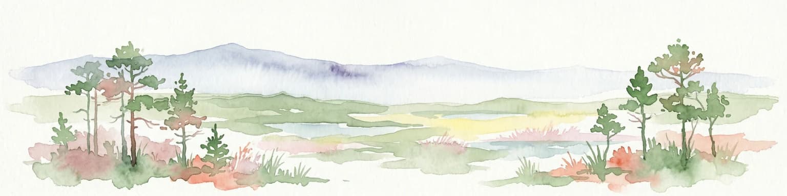
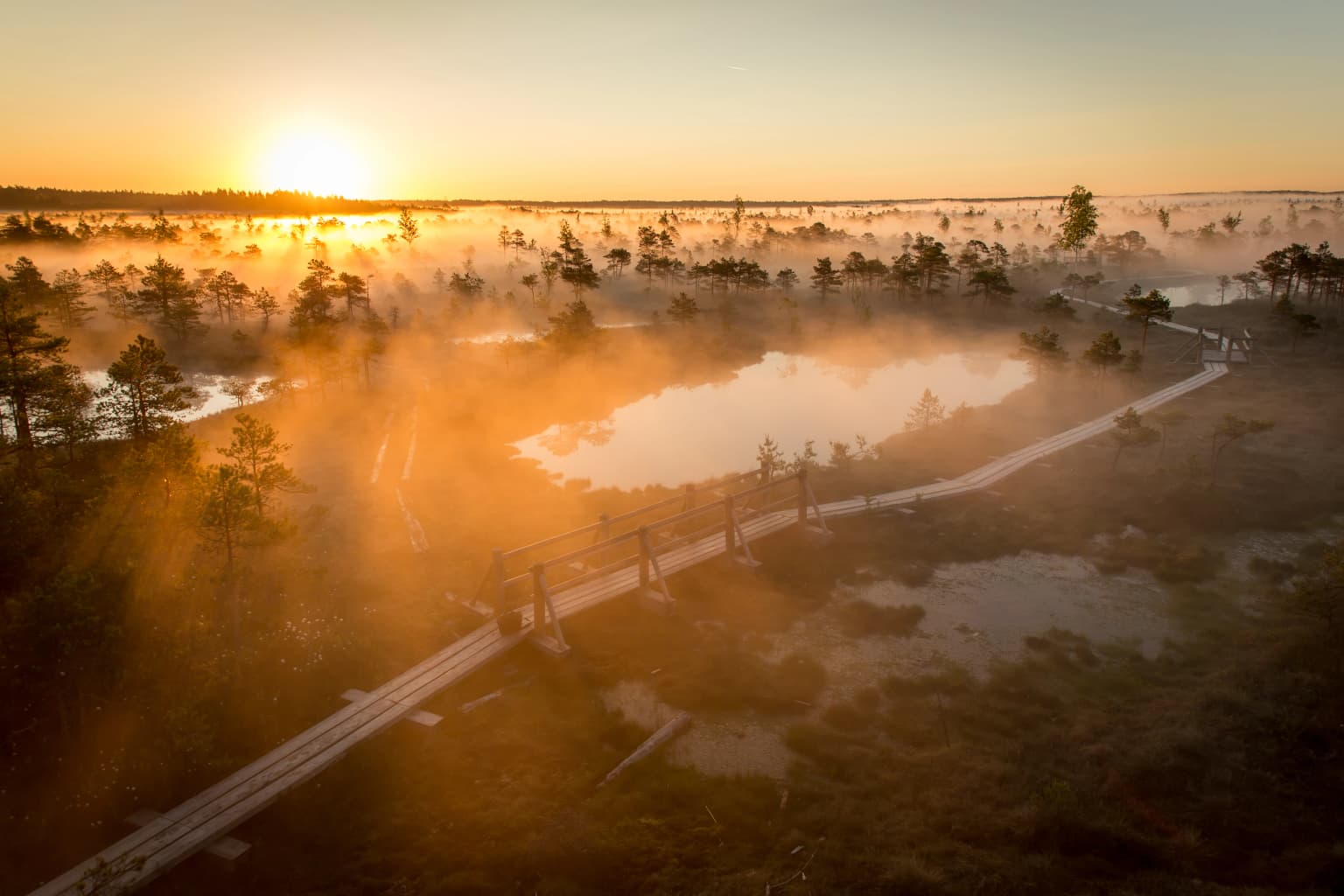
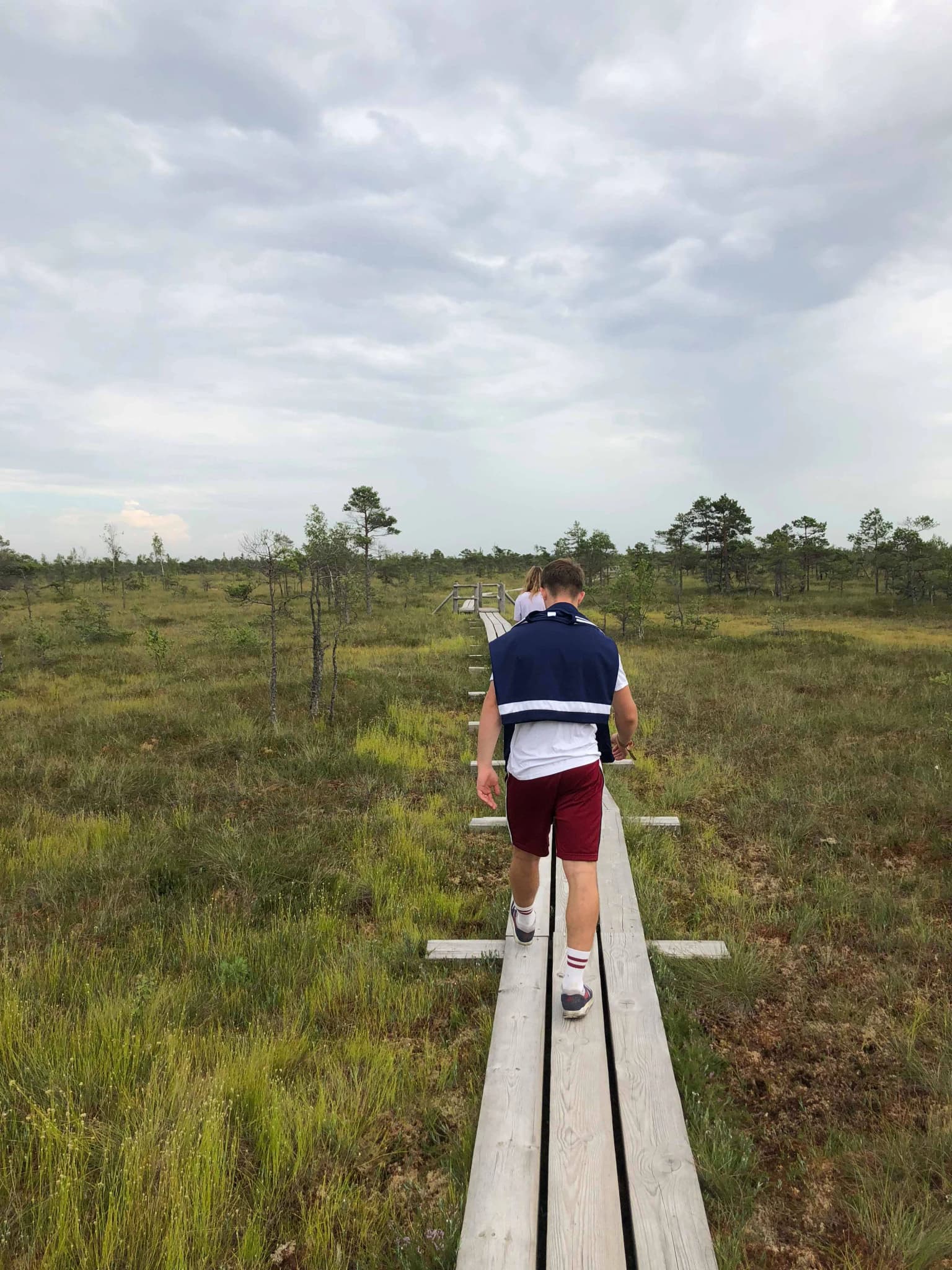
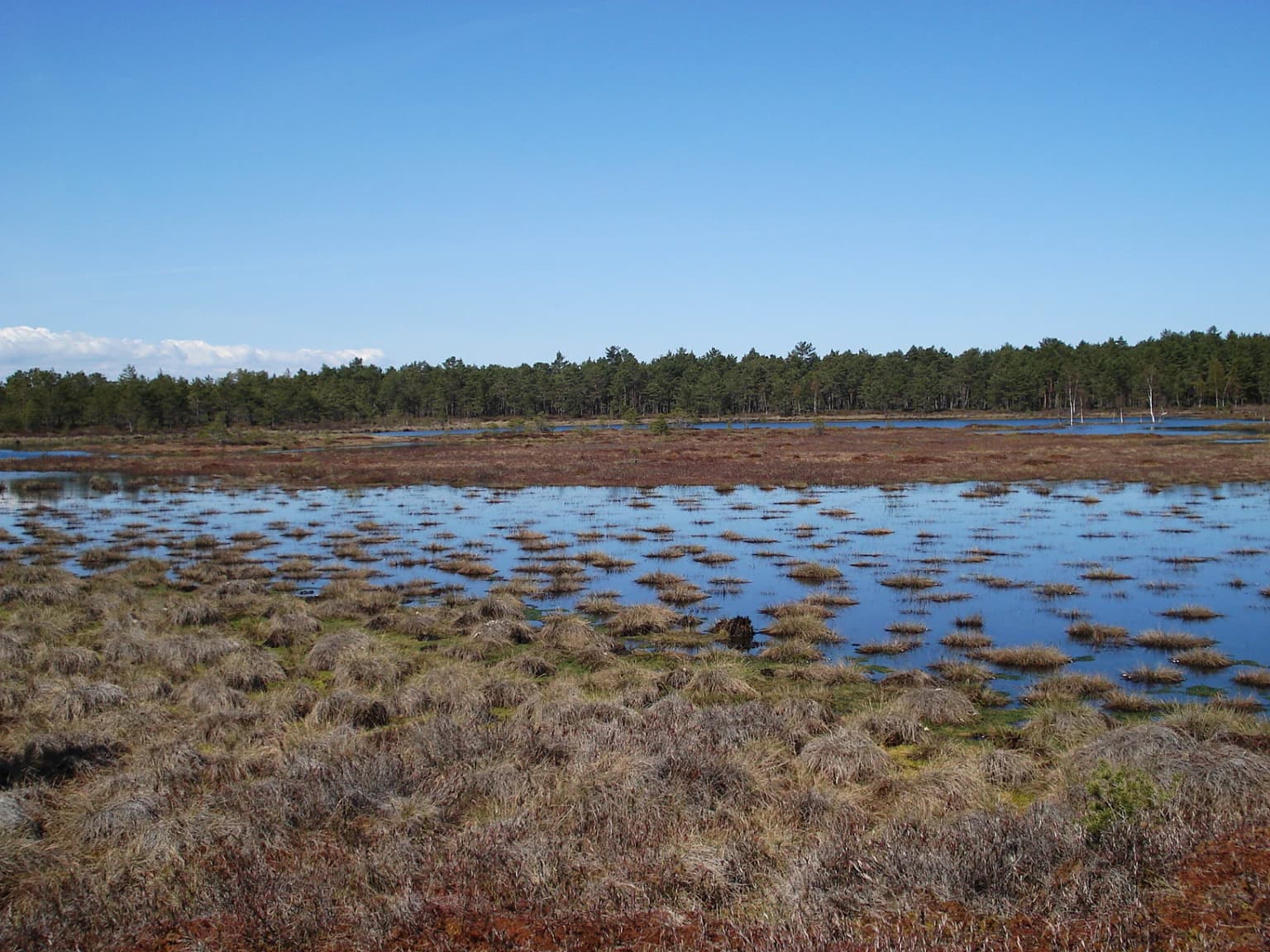
Ķemeri National Park is best known for its exceptional raised bog ecosystems, particularly the Great Ķemeri Bog (Lielais Ķemeru tīrelis), which represents one of the most significant peatland complexes in the Baltic region. The park is also renowned for its network of sulfur springs and therapeutic muds, a geological phenomenon arising from gypsum deposits underground that produces hydrogen sulfide-rich waters used for healing purposes since the 19th century. The lagoon-type lakes, particularly Lake Kaņieris, are famous as one of the best birdwatching destinations in Latvia, hosting nearly 200 bird species and serving as a major migratory waterbird staging area. The extensive boardwalk system through the Great Ķemeri Bog, with both short and long routes through the pristine raised bog landscape, has become an iconic visitor experience.

Ķemeri National Park history and protected-area timeline

The protected status of Ķemeri's natural landscapes evolved through several institutional phases before achieving national park designation. A formal nature reserve was established in 1957 but ceased to exist after eight years. Subsequently, various protected zones were designated within the territory, including the Kaņieris ornithological reserve in 1977, the Slocene river valley with surrounding landscapes in 1977, and the Great Ķemeri Bog protected in 1987. These earlier designations provided foundational protection for the key ecological areas that would later be incorporated into the national park. In 1997, Ķemeri National Park was officially established, combining these protected areas into a unified national park and creating a dedicated administration to manage the territory. A comprehensive nature conservation management plan was developed in 2002, covering the period through 2010. The park administration has undertaken significant ecological restoration efforts, including the renaturalization of the Slampe River in 2005, which involved restoring a previously straightened river section to its natural meandering course, and the restoration of the Great Ķemeri Bog's hydrological regime in 2006, using dam systems to restore water levels and counteract the negative effects of historical drainage ditch systems.

Ķemeri National Park landscape and geographic character

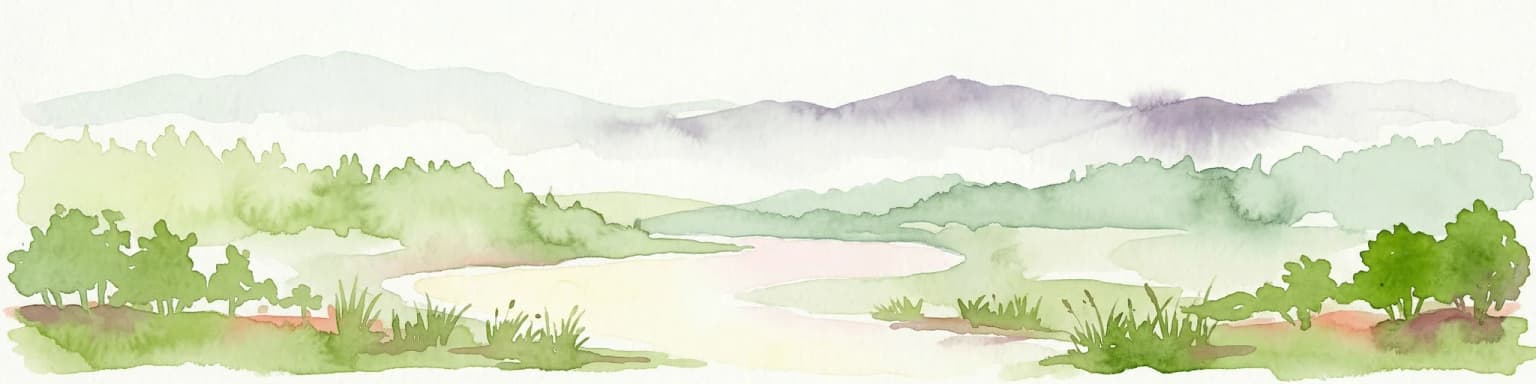
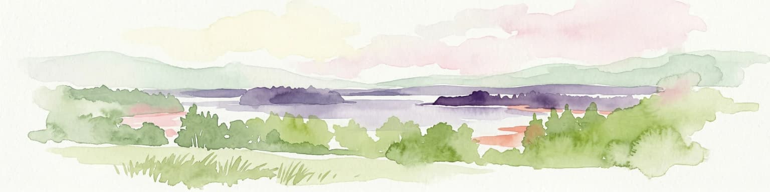
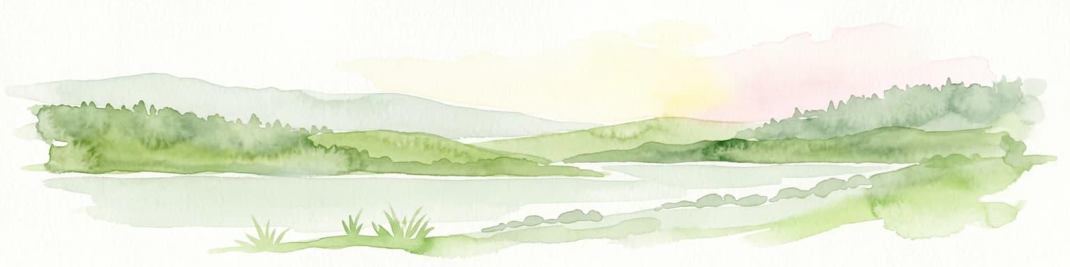
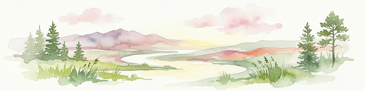
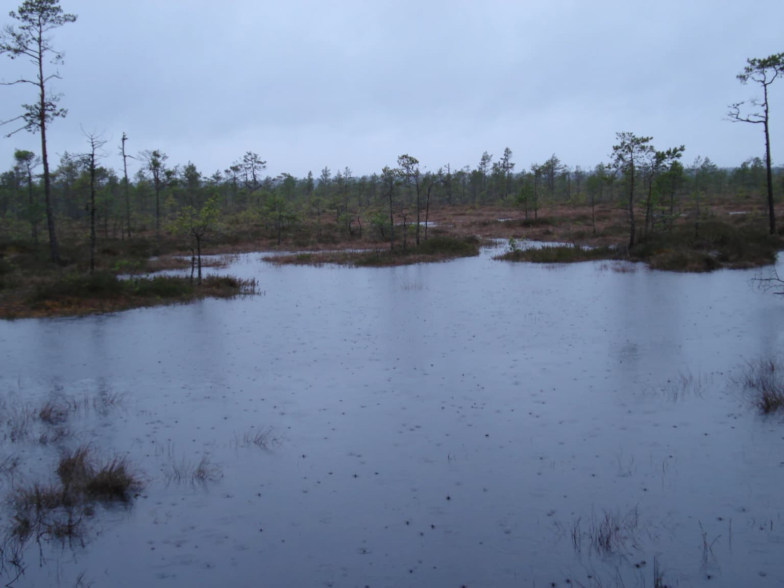
The physical landscape of Ķemeri National Park is characterized by its low-lying terrain and extensive wetland systems. The Great Ķemeri Bog dominates the park's interior, a vast raised bog ecosystem with characteristic peat formations, pools, and a distinctive vegetation adapted to acidic, nutrient-poor conditions. The bog surface displays the typical dome-like profile of raised bogs, elevated above the surrounding landscape. Around the central bog areas, a chain of lagoon-type lakes stretches across the park, including Lake Kaņieris, the largest lake within the park boundaries, Lake Dūņieris with its irregular coastline and numerous peninsulas, Slokas ezers as the second-largest lake, and Valguma ezers, the deepest lake in the park. These lakes are flanked by wetlands, meadows, and forest belts. The park also includes the Zaļā kāpa, an inland dune ridge stretching several kilometers, a remnant from the Littorina Sea period when this area formed part of the coastal zone. The landscape features a mosaic of dry pine forests along the Gulf of Riga coastline on infertile sandy soils, contrasting with wet forested areas and marshlands in the lower-lying areas. Small, slow-flowing rivers and streams traverse the park, their natural flow patterns significantly altered historically by canal and drainage ditch construction for agricultural purposes.

Ķemeri National Park ecosystems, habitats, and plant life

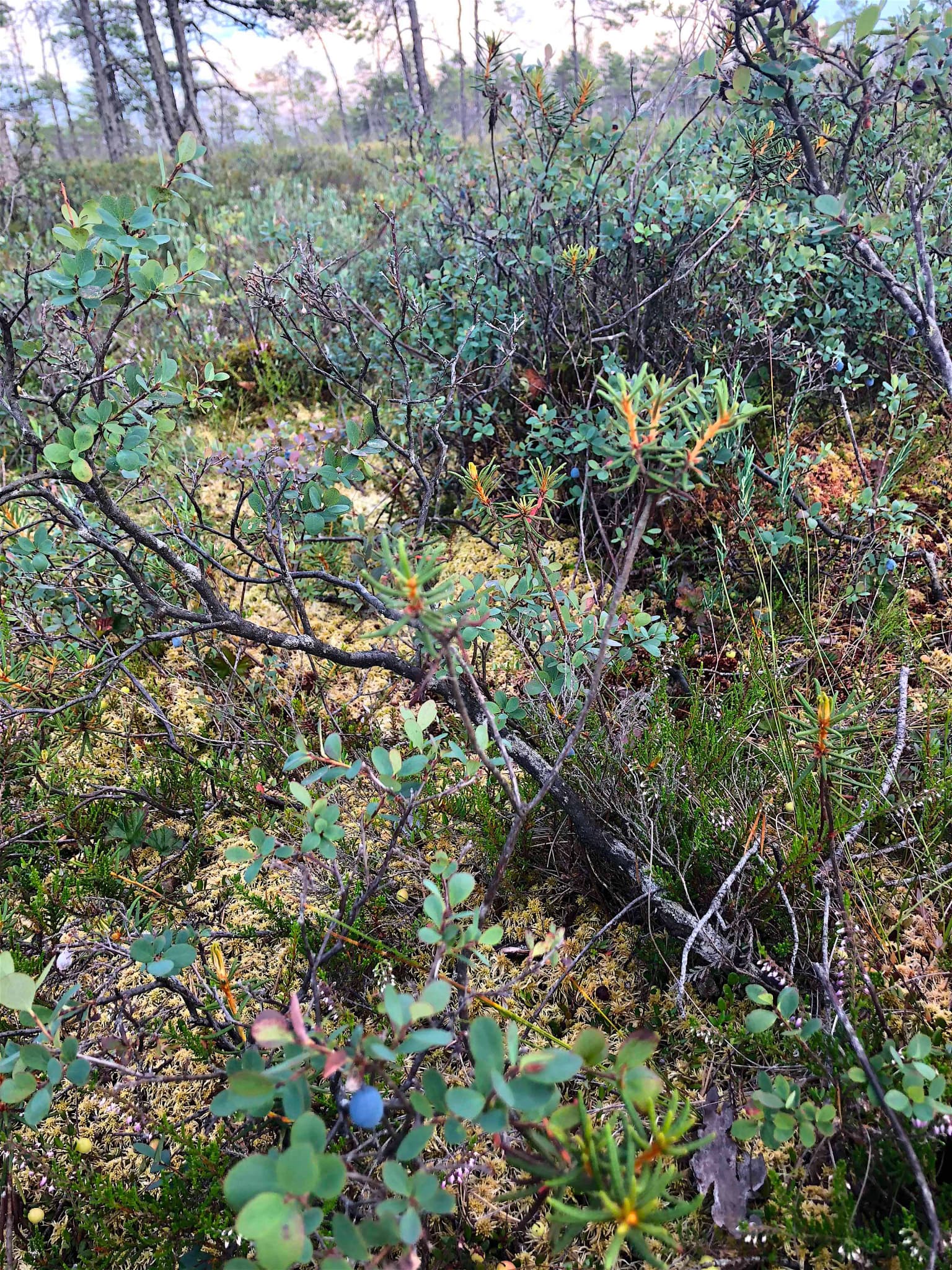
The ecological character of Ķemeri National Park is defined by its extraordinary diversity of wetland habitats. All three principal mire types occur within the park: fens, transition mires, and raised bogs. The Great Ķemeri Bog represents a classic raised bog ecosystem, while the Raganu swamp near the sulfur springs features lowland fens characterized by rich moss diversity, various sedge species, and notable orchid populations. The park's forests, covering approximately 57% of the territory, include both dry pine forests typical of the Gulf of Riga coast and valuable wet forest complexes such as the Kalnciema damp forest area and the Slokas lake wetlands, which serve as important habitats for rare plant species. The lagoon-type lakes support exceptional biodiversity in both flora and fauna, with Lake Kaņieris holding particular significance as a Ramsar-designated wetland of international importance. The sulfur springs create unique microhabitats where specialized organisms thrive. The mosaic distribution of forests, though relatively evenly spread across the park, creates a fragmented landscape pattern with inclusions of meadows and non-forested areas that contributes to habitat heterogeneity.

Ķemeri National Park wildlife and species highlights

The wildlife of Ķemeri National Park is most notable for its bird populations, particularly in the wetland and bog habitats. The Great Ķemeri Bog provides crucial breeding habitat for species including the Common crane, Wood Sandpiper, and European Golden Plover, with the latter two species specifically dependent on raised bog habitats for nesting. Lake Kaņieris stands out as one of the premier birdwatching sites in Latvia, with nearly 200 bird species recorded and peak numbers exceeding 10,000 waterbirds during migration periods. The lakes and wetlands support populations of otters, and the streams harbor native snail and mussel species. The wet meadows and forest edge habitats provide foraging areas for black storks and other wetland-dependent species. The bog and surrounding habitats support populations of edible wild berries including cranberries, crowberries, cloudberries, and blueberries, which ripen across the bog surfaces in late summer and autumn.

Ķemeri National Park conservation status and protection priorities

Ķemeri National Park holds significant conservation importance at both national and international levels. The Great Ķemeri Bog is recognized as an internationally important wetland, while Lake Kaņieris carries Ramsar designation as a wetland of international importance. The park's conservation framework divides the territory into distinct management zones: strict nature reserve zones protecting unmodified areas and allowing natural processes to continue unhindered; nature protection zones preserving minimally disturbed ecosystems and rare species habitats; landscape protection zones safeguarding tourism, recreation, and educational resources while protecting the natural and cultural landscape; and a neutral zone supporting sustainable development of spa and resort activities. The park faces ongoing conservation challenges related to historical drainage modifications, and active restoration programs have been implemented to restore hydrological function to degraded peatlands. The protection of the sulfur spring systems and associated therapeutic mud formations represents a unique conservation consideration, preserving both the natural geological processes and the cultural tradition of their use.

Ķemeri National Park cultural meaning and human context

The cultural identity of Ķemeri National Park is deeply intertwined with the region's spa and wellness heritage. The natural sulfur springs and therapeutic muds drew visitors to the area for centuries, leading to the development of numerous resorts, spas, and sanitariums in the 19th century. The town of Ķemeri emerged as a destination for those seeking treatment for digestive and skin conditions using the mineral waters and muds. The park administration building itself is housed in a historic structure that reflects this spa-era heritage. The presence of World War II military equipment submerged in the bog represents an unusual historical artifact embedded within the park's natural landscape, with numerous tanks swallowed by the soft peat substrate. The landscape also shows traces of historical land use modifications, particularly the extensive drainage and canal systems constructed to reclaim marshland for agriculture, though these have been subject to recent restoration efforts.

Top sights and standout views in Ķemeri National Park

The Great Ķemeri Bog boardwalk stands as the park's signature attraction, offering visitors the opportunity to walk through a pristine raised bog ecosystem on either a 1.4-kilometer short loop or a 3.4-kilometer long route that extends to an observation platform popular for sunrise and sunset photography. Lake Kaņieris provides exceptional birdwatching opportunities from a dedicated observation tower, with nearly 200 species recorded and significant migratory waterbird concentrations. The sulfur springs and sulfur ponds in Raganu Bog create an otherworldly landscape where mineral-rich water surfaces in the peat, forming shallow pools with distinctive colors and specialized vegetation. The Zaļā kāpa trail traverses an ancient coastal dune ridge through pine forest and along bog edges. The diversity of wetland types within a single protected area, from raised bogs to fens to lagoon lakes, makes Ķemeri an outstanding example of Baltic wetland ecosystems.

Best time to visit Ķemeri National Park

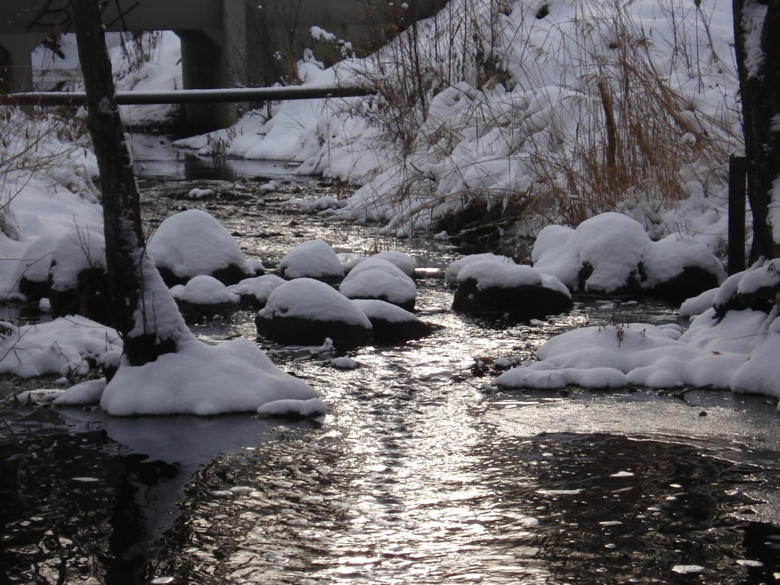
The park can be explored throughout the year, though each season offers distinct experiences. Late spring and summer provide the best conditions for observing bog flora in bloom and for enjoying the extensive boardwalk system, while berry season in late summer and early autumn offers foraging opportunities. Autumn brings the dramatic sight of cranes gathering in the wetlands and the atmospheric mood of the bog under low light. The winter landscape offers a different perspective on the bog ecosystem, though some trails may be less accessible. The observation platform in the Great Ķemeri Bog is particularly popular during sunrise and sunset hours regardless of season, offering photographers the chance to capture the bog's distinctive atmosphere. Birdwatching peaks during migration periods, particularly spring, when Lake Kaņieris hosts large concentrations of waterfowl. The sulfur springs can be enjoyed year-round, though the surrounding landscape is particularly evocative in the cooler months when the mineral waters create steam in the cold air.

Park location guide

Geography guide, regional context, and park location map for Ķemeri National Park

Ķemeri National Park park geography, regions, and map view in Latvia
Understand where Ķemeri National Park sits in Latvia through a broader geographic reading of the surrounding landscape, nearby location context, and its mapped position within the national park landscape.

How Ķemeri National Park fits into Latvia

Latvia is a unitary parliamentary republic and one of the three Baltic states in northern Europe. It declared independence from Russia on 18 November 1918, experienced Soviet occupation from 1940 to 1991, and restored full independence in 1991. The country joined the European Union in 2004. Latvians, who comprise 65.5% of the population, are the titular ethnic group and speak the Latvian language.

Wider geography shaping Ķemeri National Park in Latvia

Latvia is located in the Baltic region of northern Europe along the eastern shore of the Baltic Sea. It borders Estonia to the north, Lithuania to the south, Russia to the east, and Belarus to the southeast. The country shares a maritime border with Sweden to the west. The terrain is largely flat with lowland plains and hills, characterized by extensive forests, lakes, and rivers.

Map view of Ķemeri National Park

Use this park location map to pinpoint Ķemeri National Park in Latvia, understand its exact geographic position, and read its mapped placement within the surrounding landscape more clearly.

Pigeon | © OpenStreetMap contributors
Park atlas

Trace the regional spread of protected landscapes, comparing wetland, forest, and coastal ecosystems near Ķemeri National Park.

Explore Other Protected Areas and National Parks Near Ķemeri National Park
Browse a curated list of national parks and protected areas near Ķemeri National Park, discovering nearby wetland, forest, and coastal ecosystems across Latvia. Compare diverse protected landscapes, trace their geographic spread, and deepen your atlas understanding of conservation zones surrounding the Baltic region.
Watercolor illustration of a river flowing through a forested landscape with mountains in the background
National park

Slītere National Park: Latvia's Protected Coastal Landscape with Blue Hills and Bird Flyways

Explore the unique terrain and protected geography of this Baltic national park.

Slītere National Park represents a distinctive protected landscape on Latvia's Courland Peninsula, celebrated for its ancient geological formations like the Blue Hills (Zilie Kalni) and its role as a crucial bird migration corridor. The park's geography encompasses varied dune systems, wetland habitats, and rich broadleaf forests, offering a unique mapped environment. Discover the park's protected area boundaries and its significance within the regional Baltic geography, highlighting its unique ecosystem features and landscape context.

Area
164.14 km²
Established
2000
IUCN
II
Relief
Mixed relief
Watercolor illustration of a river flowing through a valley with hills and greenery
National park

Gauja National Park: Latvia's Largest National Park Atlas and Protected Landscape

Mapped terrain and diverse natural heritage in Vidzeme.

As Latvia's largest national park, Gauja offers a deep dive into a protected landscape defined by the ancient Gauja River valley and its spectacular Devonian sandstone cliffs. This page provides essential geographic context and atlas-style information, detailing the park's mapped boundaries, unique geological formations, and the rich tapestry of natural and cultural heritage that makes it a cornerstone of the region's protected lands. Explore the varied terrain, from river valleys to rolling uplands, all within a meticulously mapped conservation area.

Area
917.87 km²
Established
1973
IUCN
II
Relief
Mixed relief
Watercolor painting showing rolling hills, a lake, and green forests under a soft sky
National park

Žemaitija National Park: Mapped Glacial Terrain and Samogitian Protected Landscape

Explore protected areas and natural geography in Northwestern Lithuania.

Žemaitija National Park is a protected natural reserve in Lithuania, defined by its distinctive glacially sculpted landscape. This park preserves over 217 square kilometers of hilly terrain, featuring significant lake systems like Lake Plateliai and substantial forest cover interspersed with wetlands. Users can explore the park's unique topographic character, its mapped geographic features, and its role as a vital protected area within the Samogitian region, offering a rich context for atlas-based discovery.

Area
217.54 km²
Established
1991
IUCN
II
Relief
Highland
Marine protected areaSaare County

Vilsandi National Park: Marine Protected Area Atlas and Archipelago Geography

Explore the protected landscape of Western Saaremaa's coast.

Vilsandi National Park is an integral part of Saare County's protected lands, recognized as a significant marine protected area. This page offers an atlas-style exploration of its geography, focusing on the distinctive archipelago terrain, coastal formations along Saaremaa's western edge, and its vital importance as a stopover for migratory birds. Understand the park's mapped boundaries and its place within the broader Baltic Sea ecosystem through detailed geographic context.

Area
241 km²
Established
1957
Relief
Lowland
Climate
Temperate
Watercolor painting showing a wetland landscape with scattered trees, marshy areas, and distant mountains under a muted sky
National parkViljandi County

Soomaa National Park: Estonia's Wilderness Wetland Landscape Atlas

Explore mapped protected peat bogs and dynamic floodplains in Viljandi County.

Soomaa National Park is a protected wilderness area in Estonia renowned for its extensive peat bog systems and unique floodplains. This national park, located primarily in Viljandi County, showcases some of Europe's largest intact wetland landscapes, characterized by seasonal floods that transform the terrain into vast aquatic environments. MoriAtlas provides detailed geographic context for Soomaa, allowing for exploration of its protected boundaries and landscape features within the broader atlas of European natural areas.

Area
359 km²
Established
1993
Relief
Lowland
Climate
Boreal
Watercolor illustration showing rolling hills, meadows, wildflowers, and distant mountains
National park

Karula National Park: Detailed Map and Protected Landscape Context in Southern Estonia

Explore Karula Uplands' rolling terrain, lakes, and forests.

Karula National Park, Estonia's smallest national park, presents a densely clustered landscape of rolling hills, over 40 lakes, and extensive forest cover across the Karula Uplands. This protected area is a vital component of southern Estonia's natural geography, offering a rich mosaic of habitats. MoriAtlas facilitates a structured exploration of its mapped boundaries and the diverse ecosystems that define this distinctive natural landscape.

Area
123.64 km²
Established
1979
Relief
Upland
Climate
Temperate
Watercolor illustration showing a wetland landscape with grassy fields, a river, and trees in the background
National parkLääne County

Matsalu National Park: Explore Estonia's Premier Wetland National Park Geography and Protected Area

Discover mapped landscapes and bird migration routes in Lääne County.

Matsalu National Park, located in Lääne County, Estonia, is a prime example of a protected wetland ecosystem of international significance. This page delves into the park's unique geographic features, including the shallow brackish Matsalu Bay, the expansive Kasari River delta, and the numerous islands that form its coastal mosaic. Users can explore the park's protected boundaries and understand its critical function as a major staging area for migratory birds, offering a detailed atlas-level view of this important natural landscape.

Area
486.1 km²
Established
1957
Relief
Lowland
Climate
Temperate
Watercolor painting of a landscape with a river flowing through grassy fields, trees, and mountains in the background
National park

Curonian Spit National Park: Mapped Sand Dunes and Baltic Protected Landscape

Explore the unique geography of this Baltic national park.

Curonian Spit National Park represents a remarkable synthesis of natural processes and cultural heritage along the Lithuanian coast. Dominated by dramatic sand dunes, including the famed grey dunes of Nagliai and active dunes at Parnidžio, this national park showcases dynamic landscape evolution. Its designation as a UNESCO World Heritage site underscores its global importance as a protected area safeguarding unique coastal ecosystems and migratory bird pathways. MoriAtlas provides detailed mapping context for this exceptional protected landscape, enabling structured exploration of its geographic features and ecological significance.

Area
264.74 km²
Established
1991
IUCN
II
Visitors
400K annual

Common questions about visiting, size, designation, and location context for Ķemeri National Park

Ķemeri National Park FAQs for park facts, access, geography, and protected area context
Find quick answers about Ķemeri National Park, including protected-area facts, park geography, trail and visitor context, and how the park fits into its surrounding country and regional landscape.
MoriAtlas Explorer

Continue Your Protected Areas Search Across the Global Atlas

Deepen your exploration by continuing the structured search for national parks and protected areas worldwide. Utilize the comprehensive filtering capabilities to compare different conservation landscapes and refine your understanding of global park geography. Discover more about the distribution and characteristics of protected natural areas.

Global natural geography