Mori Atlas logo
Countries

Browse mapped landscapes and protected land distribution across Belarus for comprehensive atlas exploration.

Belarus National Parks and Protected Areas: A Geographic Atlas and Discovery Platform

MoriAtlas provides a structured geographic view of Belarus, highlighting its national parks and protected areas. This atlas-centric platform enables users to navigate and understand the spatial distribution of conserved landscapes across the nation. Explore the mapped boundaries and regional context of protected lands, serving as a gateway to detailed park information and broader geographic discovery within Eastern Europe.

Belarus National Parks and Protected Areas: A Geographic Atlas and Discovery Platform
About

Discover the Mapped Geography and Regional Spread of Belarus's Protected Landscapes

National Parks and Protected Areas in Belarus: A Geographic Atlas Exploration
Explore Belarus as a distinct atlas entry point for understanding its national parks and protected areas. This country-level view highlights the geographic distribution and regional context of conservation landscapes across the Republic of Belarus. Use this structured atlas data to navigate into detailed information about Belarus's significant protected natural territories and their ecological significance.

Belarus is a landlocked Eastern European country spanning 207,600 km² with a population of about 9.1 million. Formerly part of the Soviet Union, it declared independence in 1991 and is now a unitary semi-presidential republic. The nation shares borders with Russia, Ukraine, Poland, Lithuania, and Latvia, and is administratively divided into six regions.

Belarus, officially the Republic of Belarus, is a landlocked nation in Eastern Europe with a population of approximately 9.1 million. The country has a rich history dating back to the Kievan Rus' period, followed by centuries under Lithuanian and Polish rule, then the Russian Empire, and finally the Soviet Union before gaining independence in 1991. Belarus operates as a semi-presidential republic with Alexander Lukashenko as president. The official languages are Belarusian and Russian, and the currency is the Belarusian ruble.

Largest city:Minsk
Currency code:BYN
ISO code:BY
Parks count
2
Capital
Minsk
Area
207,600 km²
Population
9,109,280 (2,025)

Coastal
Island
Mountainous
Landlocked
Park atlas2 parks

Explore the Mapped Geography and Protected Landscapes Distribution Across Belarus

National Parks and Protected Areas in Belarus: A Comprehensive Geographic Atlas View
Discover the curated national parks and protected areas of Belarus, presented through an atlas-style geographic lens. This country-level view allows for detailed exploration of Belarus's conservation landscapes, from ancient forests to unique wetland ecosystems. Navigate through a structured list of protected sites to understand their regional distribution and ecological significance within Eastern Europe.
Watercolor painting showing a river flowing through a forested landscape with green hills, distant mountains, and a pink and yellow sky
National park

Belavezhskaya Pushcha National Park: Ancient Primeval Forest & European Bison Sanctuary

Explore mapped protected areas and regional geography.

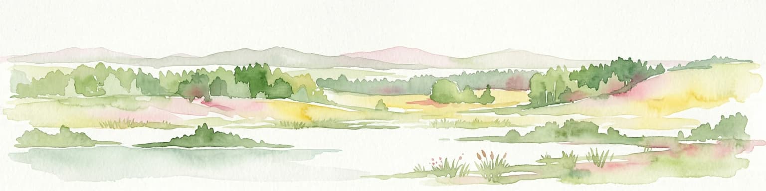
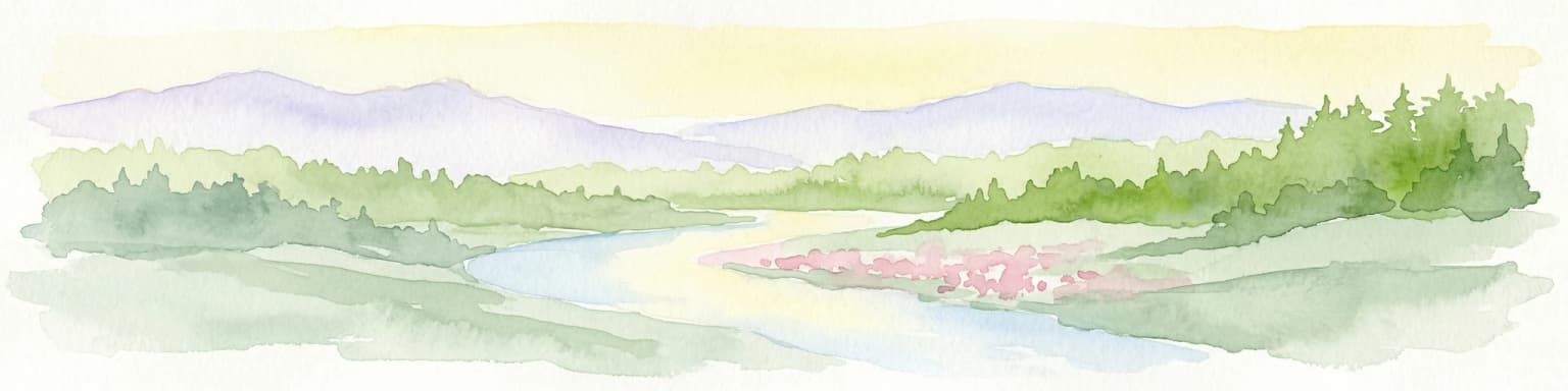
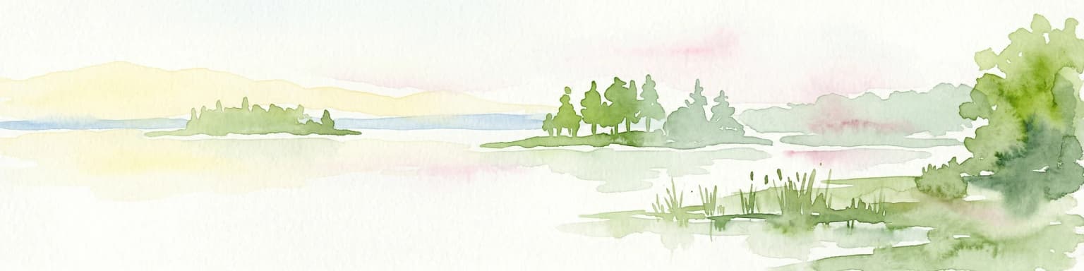
Belavezhskaya Pushcha National Park stands as a testament to Europe's ancient woodland heritage, a protected landscape of immense ecological value. This primeval forest, a sanctuary for the European bison, offers a unique glimpse into an ecosystem preserved for millennia. The park's mapped boundaries and geographic context provide essential detail for understanding its role as a critical natural monument and a cornerstone of regional protected areas.

Area
1,500.69 km²
Established
1932
IUCN
II
Visitors
300K annual
National parkMinsk Region

Narachanski National Park: Belarus's Premier National Park and Lake District Atlas

Explore protected glacial terrain and diverse lake systems.

Narachanski National Park is the crown jewel of Belarus's lake district, a protected national park safeguarding a landscape defined by glacial origins and extensive freshwater systems. Centered around Lake Narach, the park's territory within Minsk Region showcases a varied terrain of moraine hills, depressions, and over 30 lakes. This atlas perspective highlights the park's unique geological features, extensive forests, and its role as a vital protected area for understanding regional geography.

Area
933 km²
Established
1999
IUCN
II
Relief
Lowland
Landscape and environment

Understand how Belarus is shaped by terrain, ecosystems, and seasonal conditions

Belarus geography, nature, climate, and landscape context for park-focused travel research
Explore the physical geography, natural setting, and climate patterns of Belarus through a location-first overview built for travel research, national park discovery, and broader regional context. This section helps explain how landscapes, habitats, and environmental conditions shape what people search for, where they travel, and how they experience protected areas in Belarus.

Belarus geography and landscape

Belarus is a landlocked country in Eastern Europe, bordered by Russia to the east and northeast, Ukraine to the south, Poland to the west, and Lithuania and Latvia to the northwest. The terrain consists largely of flatland and rolling hills with many rivers, lakes, and forests. The country spans 207,600 km² and is administratively divided into six regions.

Belarus nature and environment

Belarus features extensive forests covering about 40% of its territory, numerous rivers and lakes, and marshlands. The country lies in the hemiboreal climate zone with mixed forest ecosystems. Several protected areas exist, though the page does not detail specific national parks.

Belarus climate and seasonal conditions

Belarus has a hemiboreal climate with cold winters and mild summers. The country experiences moderate precipitation throughout the year.

Explore this place

Related topics and popular queries

Ways to explore Belarus
Useful phrases, related topics, and discovery prompts connected to Belarus.
where is belarusbelarus country informationbelarus geography and climatebelarus population and capitalbelarus official languageswhat is belarus known forbelarus countryrepublic of belaruseastern europe nationbelarus geographybelarus populationbelarus politicsminsk belarusbelarus history
Park map

Visualize the spatial arrangement of Belarus's protected landscapes and conservation zones across its Eastern European geography.

Explore the National Parks Map of Belarus: Discover Protected Areas and Geographic Distribution
Preview the geographic distribution of national parks and other protected areas across Belarus, including major conservation landscapes such as Belavezhskaya Pushcha National Park. This essential map view helps you visualize their placement within Eastern Europe, offering valuable context for a comprehensive atlas-style exploration of the country's natural terrain.

Explore common questions on Belarus's national park geography, protected-area distribution, and key conservation landscapes.

Frequently Asked Questions About National Parks and Protected Areas in Belarus
Explore fundamental questions about national parks and protected areas within Belarus, tracing their geographic spread and the unique ecosystems preserved across this Eastern European country. These common questions offer vital context for understanding Belarus's conservation landscapes, mapped park geography, and the natural heritage found in its protected natural regions.
Other countries

Compare the Mapped Geography and Protected Landscapes of Countries Across the MoriAtlas.

Explore Other Countries with National Parks and Protected Areas Beyond Belarus
From Belarus, browse national parks and protected areas in neighboring Eastern European countries and diverse global geographies within the MoriAtlas. This provides an invaluable atlas view to compare conservation landscapes, understand regional contexts, and explore unique ecological features.

Ukraine National Parks and Protected Areas: Browse Mapped Landscapes

MoriAtlas facilitates a detailed geographic exploration of Ukraine's national parks and protected areas. This destination provides a structured overview of the country's conservation landscapes, allowing users to visually grasp their distribution and regional context. Understand the breadth of Ukraine's natural heritage through an atlas lens, supporting discovery of its unique geography and protected territories.

49 parks

Explore National Parks and Protected Areas Across Poland's Geography

Delve into the structured geography of Poland's protected natural areas. This atlas view highlights the distribution of national parks and other significant protected lands, offering insights into their regional context. Use this entry point to navigate and understand the geographic scope of conservation landscapes across Poland, from its diverse terrains to its mapped natural features.

25 parks

Slovakia National Parks and Protected Areas: Mapped Geographic Exploration

Delve into the structured atlas of Slovakia's national parks and protected areas. This page offers a geographically organized perspective, highlighting the distribution of protected lands and natural landscapes across the country. Understand the regional context and mapped boundaries of Slovakia's significant natural territories, providing a foundation for detailed geographic discovery and comparative exploration.

10 parks

Discover National Parks and Protected Areas Across Estonia | Geographic Atlas Overview

Navigate Estonia's protected natural areas, from national parks to conservation zones, with a geography-first approach. MoriAtlas presents a structured atlas view, highlighting the mapped boundaries and regional context of these important landscapes. This resource is ideal for understanding the geographic spread and ecological significance of protected lands within Estonia.

4 parks

Explore National Parks and Protected Areas: Lithuania's Geographic Landscape Atlas

MoriAtlas offers a comprehensive view of Lithuania's protected natural areas, focusing on their geographic distribution and mapped boundaries. This resource serves as a crucial atlas entry point for understanding the country's protected landscapes, enabling users to navigate and discover the extent of national parks and reserves within their regional context.

3 parks

Latvia's National Parks and Protected Areas: A Geographic Atlas Overview

Navigate the protected natural areas of Latvia through a comprehensive geographic lens. This atlas-focused resource details the mapped boundaries and distribution of national parks and protected lands, providing essential context for understanding the country's conservation efforts and natural terrain. Discover Latvia's diverse protected landscapes and explore their regional placement within Northern Europe.

3 parks

Kosovo National Parks and Protected Areas: Geographic Atlas and Landscape Context

Navigate the protected natural areas of Kosovo through an atlas lens. This entry provides a comprehensive geographic overview, highlighting the distribution of national parks and protected lands. Understand the unique landscape features and regional context of conservation efforts within Kosovo, ideal for structured map-based exploration.

2 parks

Moldova National Parks and Protected Areas: Mapped Geographic Context and Distribution

MoriAtlas provides a comprehensive atlas view of Moldova's protected areas and national parks. Delve into the geographic structure, understand the distribution of natural reserves, and examine the landscape context for each protected region within the country. This resource enables detailed map-based discovery and a structured understanding of Moldova's natural heritage.

1 park
MoriAtlas Explorer

Continue Your Global Geographic Exploration with MoriAtlas Park Discovery

Dive deeper into the world's protected landscapes and national parks through MoriAtlas's structured atlas interface. Discover how continents and countries are organized, and how individual park geography fits into the broader map. Our platform is built for understanding the distribution and context of protected areas worldwide, facilitating your journey through global natural geography.

Global natural geography