Mori Atlas logo
National parkPrypyatski National Park

Mapping the protected area boundaries and geographic context of this Belarusian national park.

Prypyatski National Park: A National Park in Belarus Focused on Protected Landscape Discovery

Prypyatski National Park stands as a significant protected area within Belarus, offering a unique focus for geographic discovery. This page provides detailed atlas-style insights into its mapped boundaries and the surrounding natural landscape. Explore how this national park contributes to the protected lands of Eastern Europe and understand its distinct identity through structured geographic data.

BelarusEastern EuropePripyats RiverProtected Area
Illustration of a river winding through a forested valley with mountains and a sun in the sky

Prypyatski National Park

National park

Park overview

Structured park overview, official facts, and landscape profile for Pripyatsky National Park

Pripyatsky National Park park facts, protected area profile, and essential visitor context
Review the core facts for Pripyatsky National Park, including designation, size, terrain, visitor scale, habitats, and operating context in one park-focused overview.
Park location guide

Geography guide, regional context, and park location map for Pripyatsky National Park

Pripyatsky National Park park geography, regions, and map view in Belarus
Understand where Pripyatsky National Park sits in Belarus through a broader geographic reading of the surrounding landscape, nearby location context, and its mapped position within the national park landscape.

How Pripyatsky National Park fits into Belarus

Belarus is a landlocked Eastern European country spanning 207,600 km² with a population of about 9.1 million. Formerly part of the Soviet Union, it declared independence in 1991 and is now a unitary semi-presidential republic. The nation shares borders with Russia, Ukraine, Poland, Lithuania, and Latvia, and is administratively divided into six regions.

Wider geography shaping Pripyatsky National Park in Belarus

Belarus is a landlocked country in Eastern Europe, bordered by Russia to the east and northeast, Ukraine to the south, Poland to the west, and Lithuania and Latvia to the northwest. The terrain consists largely of flatland and rolling hills with many rivers, lakes, and forests. The country spans 207,600 km² and is administratively divided into six regions.

Map view of Pripyatsky National Park

Use this park location map to pinpoint Pripyatsky National Park in Belarus, understand its exact geographic position, and read its mapped placement within the surrounding landscape more clearly.

Pigeon | © OpenStreetMap contributors

Explore the unique riverine habitats and dense forest terrain of this Eastern European protected area through detailed imagery.

Prypyatski National Park Photos: Visualizing the Landscapes and Protected Area Scenery
Visually explore the distinct environments of Prypyatski National Park, understanding its vast wetlands, ancient forests, and the meandering Pripyats River. These images offer a detailed atlas of the park's key natural features and conservation value, providing essential context for its Eastern European ecological significance.

Vast green meadow with scattered yellow flowers under a partly cloudy sky, featuring a single tree in the midground

Wide river with multiple channels flowing through dense green forests under partly cloudy sky

Park atlas

Discover other protected areas near Prypyatski National Park, exploring the broader regional geography and park network in Belarus and Eastern Europe.

Explore Other National Parks and Protected Areas Near Prypyatski National Park, Belarus
After exploring Prypyatski National Park, continue your geographic discovery by browsing other protected areas within the surrounding region of Belarus and Eastern Europe. Use these comparisons to understand the broader conservation landscape, mapped terrain, and connected park geography beyond the Pripyats River basin.
Watercolor painting of a river valley landscape with meadows, distant hills, and soft-colored sky
National parkUkraine

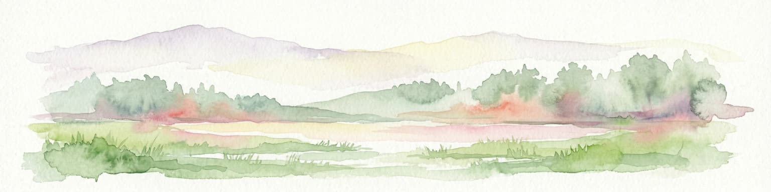
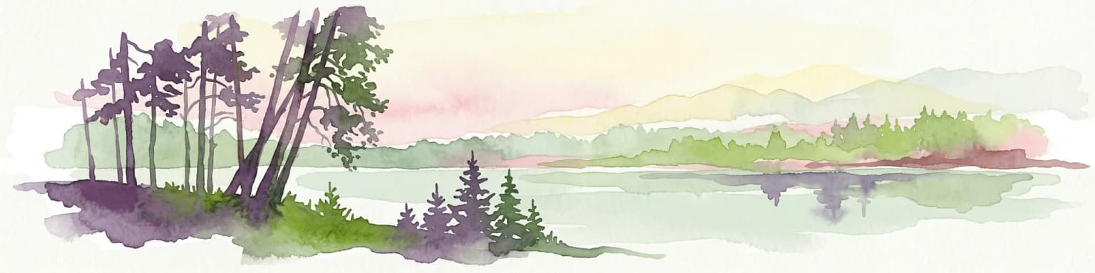
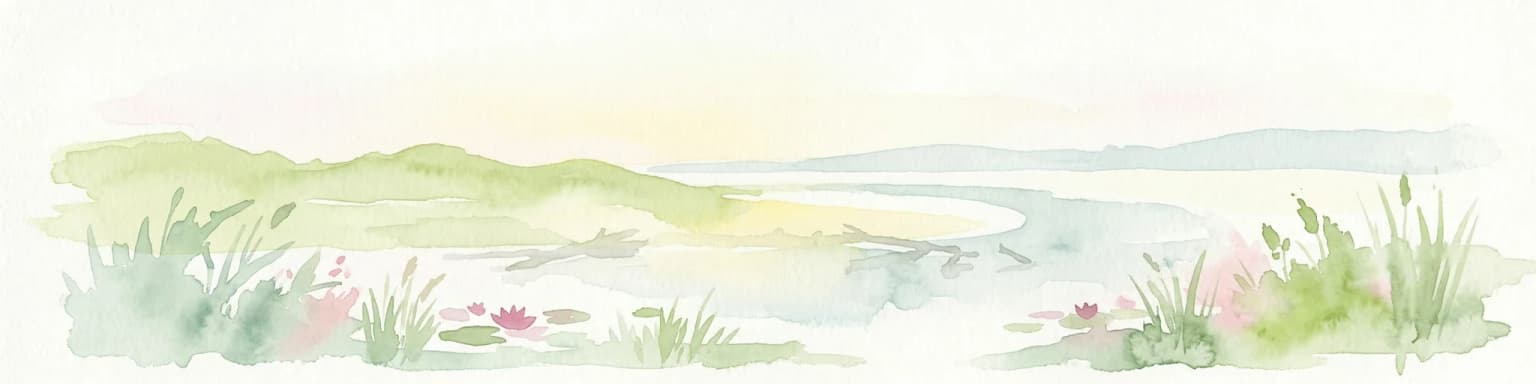
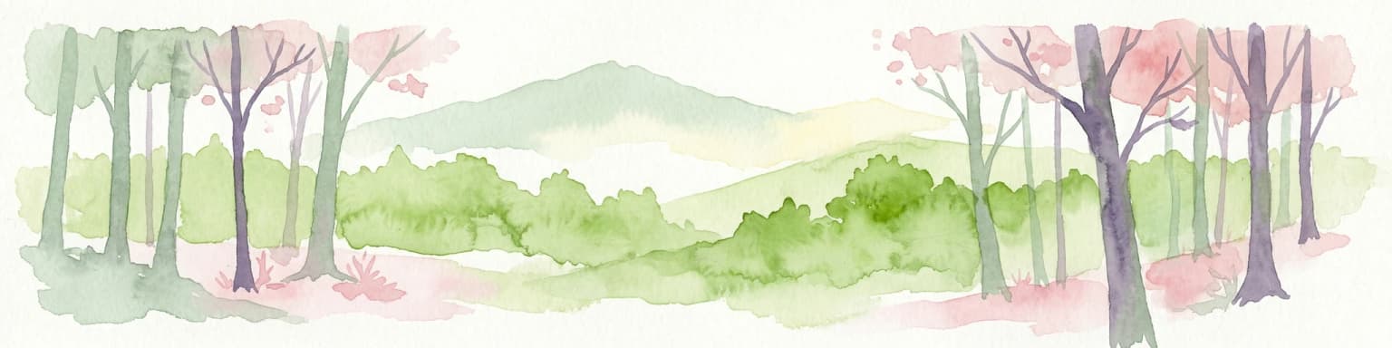
Prypiat, Stokhid National Nature Park: National Park Geography & Protected Landscape

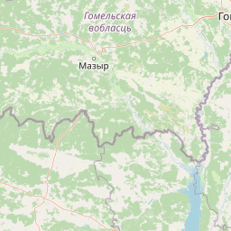
Mapped boundaries and regional natural context in Ukraine.

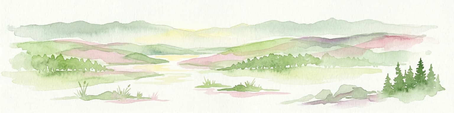
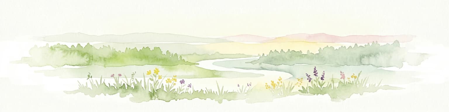
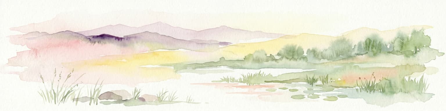
Gain structured insight into Prypiat, Stokhid National Nature Park, a protected national park in Ukraine. This entry details its geographic footprint and landscape features, offering a foundation for understanding its role within the broader atlas of protected areas. Explore the mapped terrain and regional context that defines this significant natural landscape.

Area
393.155 km²
Established
2007
IUCN
II
Relief
Lowland
Watercolor painting showing rolling hills, trees, and a body of water
National parkVolyn Oblast

Tsumanska Pushcha National Nature Park: Protected Landscape and Regional Geography in Volyn Oblast

UA National Park with Mapped Boundaries and Terrain Context

Delve into Tsumanska Pushcha National Nature Park, a designated national park in Volyn Oblast, Ukraine. This entry provides detailed atlas-style information on the park's protected landscape identity, its mapped geographic setting, and its significance within the regional geography of Northwestern Ukraine. Understand the park's boundaries and its place in the natural terrain.

Area
334.75 km²
Established
2010
IUCN
II
Relief
Lowland
National parkRivne Oblast

Derman, Ostroh National Nature Park: Geographic Atlas of a Ukrainian National Park

Explore its protected boundaries and landscape context.

Delve into the detailed atlas information for Derman, Ostroh National Nature Park, a designated national nature park located in Ukraine's Rivne Oblast. This resource illuminates the park's specific geographic footprint, its protected land status, and its contribution to the regional landscape. Understand its terrain and mapped features, offering a clear point of discovery for those interested in the geography of Ukrainian protected areas.

Area
16 km²
Established
2009
IUCN
II
Relief
Mixed relief
Watercolor painting showing a lake surrounded by trees with distant hills under a colorful sky
National parkUkraine

Lower Polissia National Nature Park: Ukraine's Mapped Protected Wetland Landscape

National Park in Ukraine's Polissia region.

The Lower Polissia National Nature Park is a crucial protected area covering 8,762 hectares in western Ukraine. This park offers a detailed geographic profile, showcasing its extensive wetland habitats, forest complexes, and the Horyn, Viliia, and Hnylyi Rih river valleys. As a key component of the Polissia landscape zone, the park provides essential context for understanding the protected natural terrain and regional ecology of Eastern Europe through structured map exploration.

Area
87.62 km²
Established
2013
IUCN
II
Relief
Lowland
Watercolor illustration of a river landscape with green hills, reeds, and water lilies
National park

Zalissia National Nature Park: Protected Forest Atlas and Regional Geography

Mapping Ukraine's temperate hardwood and pine forest ecosystems.

Delve into Zalissia National Nature Park, a significant protected landscape in Ukraine renowned for its vast temperate hardwood forests and ancient pine stands. This atlas entry details the park's mapped boundaries, its position within the Desna River floodplain, and the unique geographic context of its forest ecosystems. Understanding Zalissia National Nature Park offers insight into the conservation of northern Ukraine's natural heritage and its place in the broader regional geography.

Area
148 km²
Established
2009
IUCN
II
Relief
Lowland
Watercolor artwork showing tall trees, green foliage, and distant mountains under a soft sky
National parkUkraine

Holosiiv National Nature Park: Ukraine's Protected Area and Mapped Landscape

Explore geographic boundaries and regional context.

Holosiiv National Nature Park represents a significant protected natural landscape within Ukraine. This detail page offers in-depth atlas exploration of the park's mapped boundaries and its integration into the country's regional geography. Understand the value of this protected area through structured geographic data and visual context, enabling a deeper appreciation of its unique landscape identity within the national park system.

Area
45.255 km²
Established
2007
IUCN
II
Relief
Lowland
Watercolor illustration of a landscape with rolling hills, a river, scattered trees, and distant mountains.
National parkTernopil Oblast

Kremenets Mountains National Nature Park National Park: Geographic and Protected Landscape Atlas

Mapped boundaries and regional natural terrain context.

Delve into the specifics of Kremenets Mountains National Nature Park, a protected area designated as a national park in Ukraine's Ternopil Oblast. This MoriAtlas entry focuses on its role as a distinct geographic entity, providing mapped boundaries and context within the regional landscape. Understand its protected status and how it contributes to the natural geography of western Ukraine, offering a structured point for atlas-based discovery.

Area
162 km²
Established
1999
IUCN
II
Relief
Mixed relief
Watercolor illustration showing a winding river through a grassy field with wildflowers and distant hills under a soft sky
National parkChernihiv Oblast

Mezyn National Nature Park: Protected Area with Paleolithic Heritage in Chernihiv Oblast

Explore ancient forests, river wetlands, and prehistoric landscapes.

Mezyn National Nature Park in Chernihiv Oblast, Ukraine, represents a significant protected area where natural landscapes meet profound archaeological discoveries. This national park encompasses diverse terrain, from the expansive Desna River floodplain dotted with oxbow lakes to ancient oak forests and rolling upland areas shaped by glacial activity. It is particularly noted for the Mezyn Paleolithic site, offering insights into Ice Age human life with remarkable artifacts and bone dwellings, making it a unique destination for atlas-driven discovery of protected lands and prehistoric geography.

Area
310 km²
Established
2004
IUCN
II
Relief
Lowland

Common questions about visiting, size, designation, and location context for Pripyatsky National Park

Pripyatsky National Park FAQs for park facts, access, geography, and protected area context
Find quick answers about Pripyatsky National Park, including protected-area facts, park geography, trail and visitor context, and how the park fits into its surrounding country and regional landscape.
MoriAtlas Explorer

Continue Your Protected Areas Search Across the Global Atlas

Deepen your exploration by continuing the structured search for national parks and protected areas worldwide. Utilize the comprehensive filtering capabilities to compare different conservation landscapes and refine your understanding of global park geography. Discover more about the distribution and characteristics of protected natural areas.

Global natural geography