Belavezhskaya Pushcha National Park
Explore mapped protected areas and regional geography.
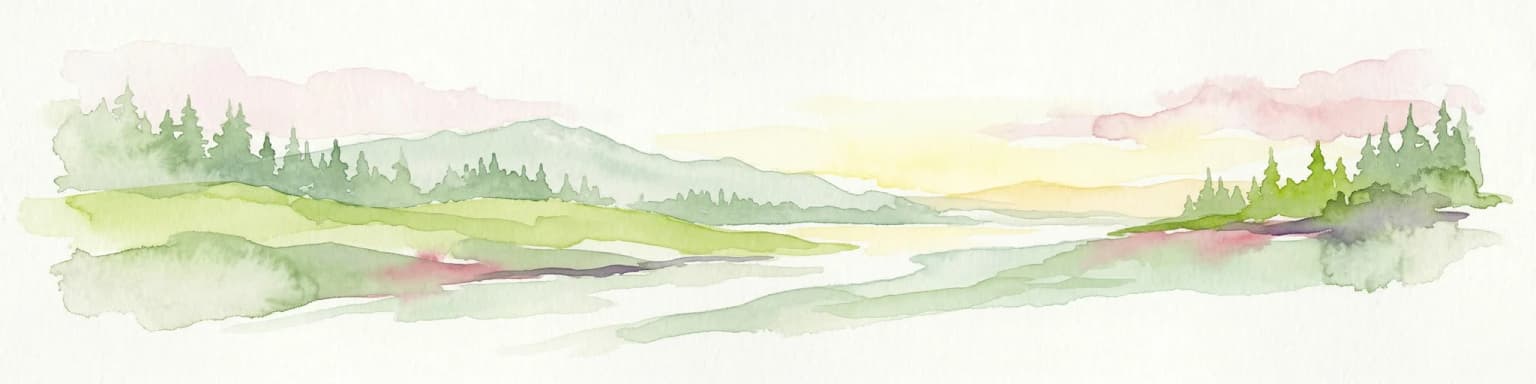
Belavezhskaya Pushcha National Park, in Belarus. Landscapes: forests, woodlands, and wetlands.
- Area
- 1,500.69 km²
- Established
- 1932
- IUCN
- II
- Visitors
- 300K annual
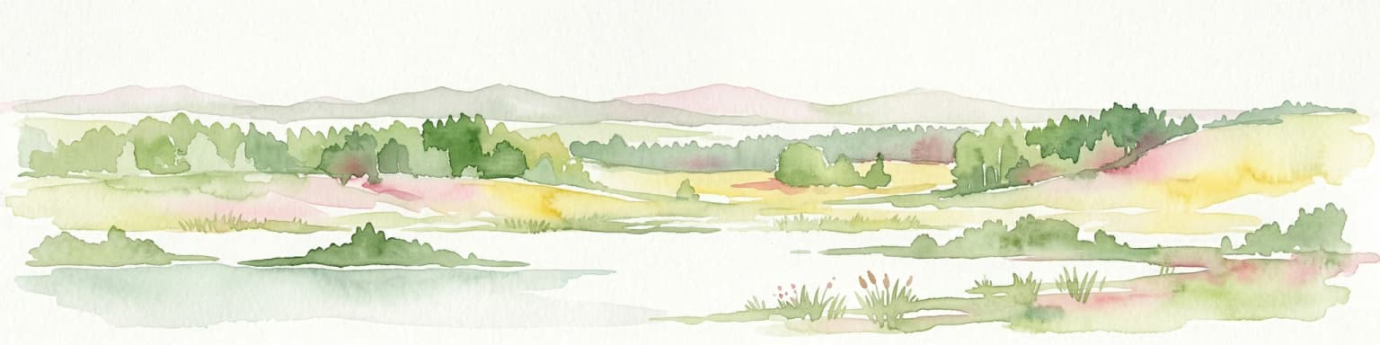
Browse mapped landscapes and protected land distribution across Belarus for comprehensive atlas exploration.
Explore maps and profiles of protected areas in Belarus, including Belavezhskaya Pushcha and Braslaw Lakes.

Evaluating conservation scale, reserve age, and habitat types across primeval forests and wetlands.
Known protected area
Area data available for 2 of 4 parks.
Median park size
Median across 2 parks with known area.
Discover the Mapped Geography and Regional Spread of Belarus's Protected Landscapes
Belarus is a landlocked Eastern European country spanning 207,600 km² with a population of about 9.1 million. Formerly part of the Soviet Union, it declared independence in 1991 and is now a unitary semi-presidential republic. The nation shares borders with Russia, Ukraine, Poland, Lithuania, and Latvia, and is administratively divided into six regions.
Belarus, officially the Republic of Belarus, is a landlocked nation in Eastern Europe with a population of approximately 9.1 million. The country has a rich history dating back to the Kievan Rus' period, followed by centuries under Lithuanian and Polish rule, then the Russian Empire, and finally the Soviet Union before gaining independence in 1991. Belarus operates as a semi-presidential republic with Alexander Lukashenko as president. The official languages are Belarusian and Russian, and the currency is the Belarusian ruble.
Explore the Mapped Geography and Protected Landscapes Distribution Across Belarus

Explore mapped protected areas and regional geography.
Belavezhskaya Pushcha National Park, in Belarus. Landscapes: forests, woodlands, and wetlands.

Mapped boundaries and terrain of a key Belarusian protected area.
Braslaw Lakes National Park presents a fascinating protected landscape defined by its extensive glacial lake chain, lush forests, and vital wetland ecosystems. As a significant natural region in northern Belarus, it offers valuable insights into lacustrine environments and glacially formed terrain. This park serves as a prime example of protected land within the Vitebsk Region, ideal for exploring its mapped geography, understanding its ecological importance, and appreciating the unique character of Eastern Europe's lake districts through a structured atlas lens.

Explore protected glacial terrain and diverse lake systems.
Narachanski National Park is the crown jewel of Belarus's lake district, a protected national park safeguarding a landscape defined by glacial origins and extensive freshwater systems. Centered around Lake Narach, the park's territory within Minsk Region showcases a varied terrain of moraine hills, depressions, and over 30 lakes. This atlas perspective highlights the park's unique geological features, extensive forests, and its role as a vital protected area for understanding regional geography.

National park details for geographic exploration.
Delve into the specifics of Prypyatski National Park, a designated national park in Belarus. This detailed entry focuses on its protected landscape characteristics, mapped geographic boundaries, and its significance within the broader atlas of European protected areas. Understand the terrain and regional context of this important natural conservation zone.
Understand how Belarus is shaped by terrain, ecosystems, and seasonal conditions
Belarus is a landlocked country in Eastern Europe, bordered by Russia to the east and northeast, Ukraine to the south, Poland to the west, and Lithuania and Latvia to the northwest. The terrain consists largely of flatland and rolling hills with many rivers, lakes, and forests. The country spans 207,600 km² and is administratively divided into six regions.
Belarus features extensive forests covering about 40% of its territory, numerous rivers and lakes, and marshlands. The country lies in the hemiboreal climate zone with mixed forest ecosystems. Several protected areas exist, though the page does not detail specific national parks.
Belarus has a hemiboreal climate with cold winters and mild summers. The country experiences moderate precipitation throughout the year.
Related topics and popular queries
Visualize the spatial arrangement of Belarus's protected landscapes and conservation zones across its Eastern European geography.
Explore common questions on Belarus's national park geography, protected-area distribution, and key conservation landscapes.
Compare the Mapped Geography and Protected Landscapes of Countries Across the MoriAtlas.
Parks and protected areas in Poland, including Białowieża and TPN.
Parks and protected areas in Ukraine, including Carpathian National Nature Park and Synevyr.
Parks and protected areas in Lithuania, including Curonian Spit and Aukštaitija.
Parks and protected areas in Slovakia, including TANAP and Poloniny.
Parks and protected areas in Estonia, including Lahemaa and Soomaa.
Parks and protected areas in Latvia, including Gauja and Ķemeri.
Parks and protected areas in Kosovo, including Bjeshkët e Nemuna National Park and Sharr Mountains.
Parks and protected areas in Moldova, including Orhei.
Protected area types
Deepen your understanding of Belarus's conservation landscape by continuing to explore its specific protected area designations. Use this route to identify and study the categories of protected lands that define the country's natural heritage. Each classification offers a unique geographic perspective, enabling a more detailed atlas-based discovery of Belarus's natural reserves and their mapped boundaries.
Find a park and explore its geography, habitats, and monthly climate.