
Analyzing geographic terrain and regional landscape distribution within protected areas
Comprehensive Atlas of Natural Features and Protected Landscapes Across Belarus National Parks
This geographic collection maps the diverse natural features found throughout national parks and protected lands within Belarus. By examining the intersection of specific land formations, wetland systems, and forest landscapes, these records provide a clear understanding of the nation's environmental topography. Explore the spatial distribution of these features to better grasp the unique character of Belarusian wilderness areas.
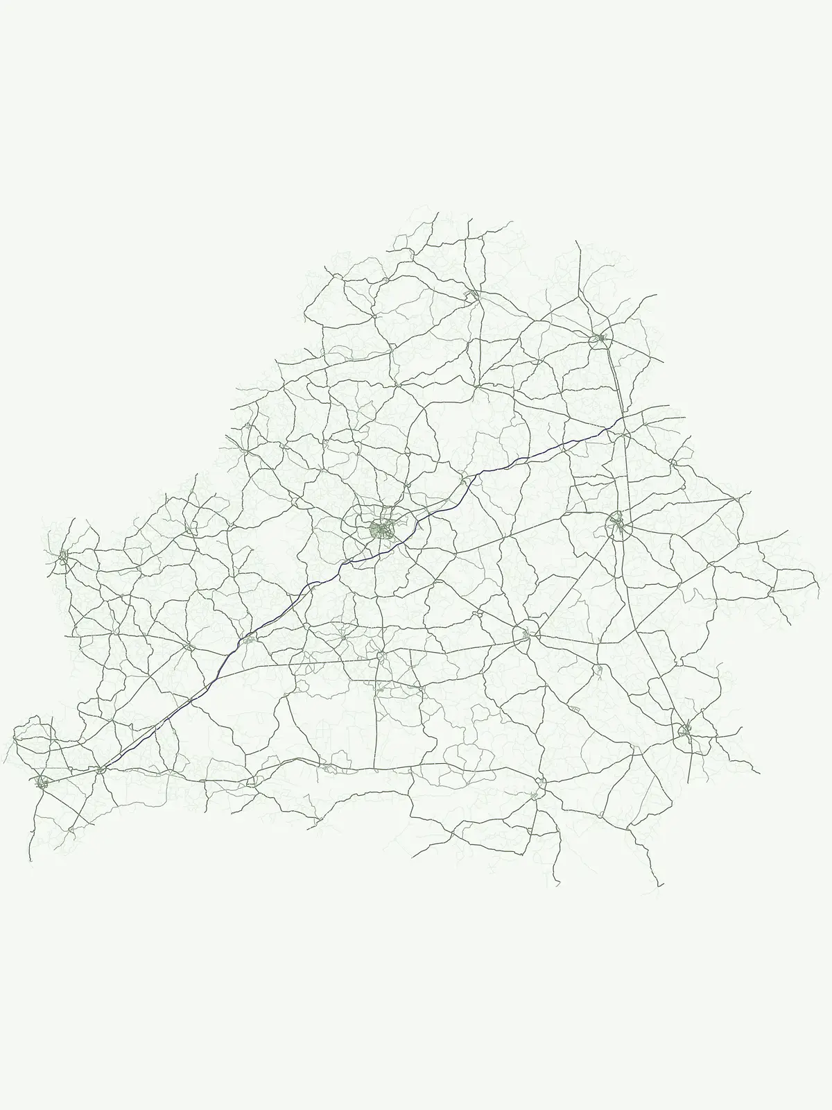
Compare notable terrain, river networks, and glacial landforms within Belarusian parks
Natural Features and Landscapes of Belarus National Parks and Reserves
A geographic index of mapped rivers in Belarusian parks
Rivers
Access a detailed inventory of river systems associated with national parks and protected lands in Belarus. This index provides essential geographic context for watercourses, supporting the study of their flow through preserved natural terrain and their broader integration into the landscape of Eastern Europe.
Hydrological features and natural drainage channels in Belarus
Streams
Analyze the distribution of named stream channels and watercourse features across the protected lands of Belarus. These identified flows provide data on local hydrological character, terrain interaction, and tributary formation within the national geography.
Regional forest features in Belarus protected landscapes.
Forests
Examine a curated set of named forest features situated within the protected areas of Belarus. Each entry focuses on precise geographic boundaries and spatial context, helping researchers and explorers map the distribution of identified woodlands throughout the country's national park system.
Natural inland water features across the national park system.
Lakes
Explore documented lakes and standing water basins situated within Belarus protected areas. This geographic collection offers insight into the natural formation of these water bodies, their basin settings, and their roles within the diverse topography of the country, providing a clear reference for researchers and landscape enthusiasts.
Mapping human modified water systems in Belarus
Reservoirs
Explore a focused collection of reservoirs located inside protected areas throughout Belarus. These managed water bodies are characterized by their origin in human infrastructure such as dams and diversions. Compare the geographic presence and landscape integration of these distinct sites within the broader Belarusian conservation network.
Examining water-saturated terrains and regional geography.
Wetlands
Explore the collection of named wetlands integrated into the protected landscapes of Belarus. This geographic dataset focuses on the hydrological characteristics, physical boundaries, and regional distribution of swamps, marshes, and floodplains. Gain insight into the varied water-influenced systems that define the natural terrain and ecological setting of these specific regions within the country.
Continue Exploring Belarus's Protected Landscapes and National Parks
Deepen your understanding of Belarus's natural geography by exploring its diverse national parks and protected areas. This comprehensive browse view enables detailed comparison of conservation landscapes and their mapped distribution. Continue your atlas exploration to discover the specific natural features and geographic context of each protected region across the country.