Mori Atlas logo
Countries

Browse the mapped boundaries and distribution of Sweden's protected landscapes.

Sweden National Parks and Protected Areas: A Geographic Atlas Explorer

Sweden, a Nordic country on the Scandinavian Peninsula, offers a rich tapestry of protected natural areas. MoriAtlas provides a structured entry point to explore Sweden's national parks and conservation lands, enabling a deep dive into their geographic context. Understand the distribution of these protected landscapes across the country and use the atlas to navigate from a broad overview to specific park details, appreciating the unique geography that defines each protected region.

Related tags

nordic countryconstitutional monarchyscandinavian peninsulaeuropean union membernato member
About

Navigate Sweden's Protected Landscapes and Natural Heritage Mapped Across the Scandinavian Peninsula

Sweden National Parks and Protected Areas: A Geographic Atlas Exploration
Explore the country's diverse network of national parks and protected natural areas as a comprehensive atlas entry point. This curated view of Sweden's protected landscapes offers insight into their geographic distribution and conservation significance. Discover the mapped terrain and regional context that defines Sweden's commitment to preserving its unique natural heritage for future exploration and study.

Sweden, formally the Kingdom of Sweden, is a highly developed Nordic country on the Scandinavian Peninsula in Northern Europe. With a population of 10.6 million and an area of 450,295 km², it is the largest Nordic country by both area and population. Sweden is a constitutional monarchy with Stockholm as its capital and largest city, known for its advanced economy, social welfare system, and membership in the European Union and NATO.

Sweden is a constitutional monarchy and parliamentary democracy located on the Scandinavian Peninsula in Northern Europe. It is the fifth-largest country in Europe and the largest Nordic nation by area and population. Sweden has been inhabited since prehistoric times and emerged as a unified kingdom in the late 10th century. The country has a highly developed economy, ranking fifth in the Human Development Index, with a GDP per capita of approximately $74,900. Sweden joined the European Union in 1995 and NATO in 2024.

Largest city:Stockholm
Currency code:SEK
ISO code:SE
Parks count
26
Capital
Stockholm
Area
450,295 km²
Population
10,610,485 (2,025)

Coastal
Island
Mountainous
Landlocked
Park atlas26 parks

Explore Sweden's Vast Protected Landscapes, from Northern Forests to Coastal Archipelagos

National Parks in Sweden: An Atlas of Protected Areas and Geographic Landscapes
Explore a detailed atlas of national parks and protected areas across Sweden, encompassing diverse landscapes from northern old-growth forests to southern archipelagos. This geographic collection offers essential structured information and navigational insights for discovering Sweden's conservation landscapes.
Watercolor illustration of a mountainous landscape with a river, grass, and distant hills
National parkNorrbotten County

Sarek National Park: Mapping Sweden's Rugged Alpine Wilderness and Glacial Terrain

Explore the mapped geography of Norrbotten County's largest alpine national park.

Sarek National Park represents the heart of Sweden's alpine wilderness, a protected landscape defined by its towering mountain peaks, expansive glaciers, and deeply carved glacial valleys. Situated in Norrbotten County, the park's geography is characterized by a remote and rugged terrain, making it a prime destination for understanding high-altitude natural environments through mapped context. Discover the unique contours of this iconic national park and its place within the broader regional geography of Swedish Lapland.

Area
1,970 km²
Established
1909
IUCN
II
Relief
Mountain
Watercolor painting showing green hills, a body of water, and distant mountains
National parkNorrbotten County

Abisko National Park

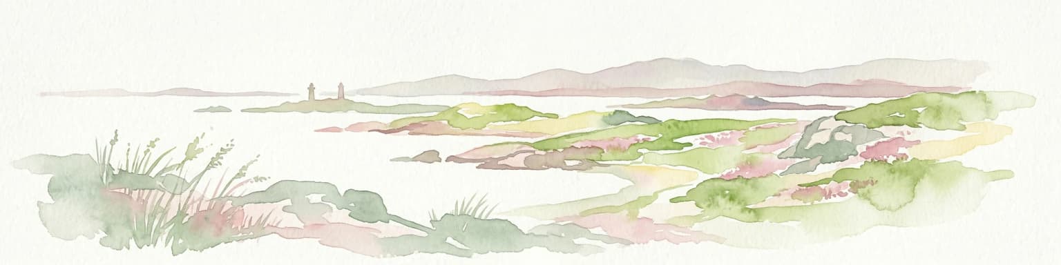
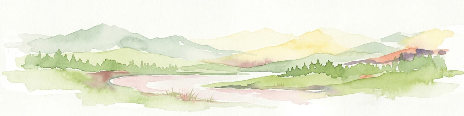
Subarctic national park with unique landscapes

Abisko National Park in Swedish Lapland offers a glimpse into dramatic subarctic terrain. Explore its protected boundaries, river canyons, and alpine tundra through structured geographic data.

Area
77 km²
Established
1909
IUCN
II
Visitors
50K annual
Watercolor illustration of a winding river through a green landscape with distant mountains
National parkNorrbotten County

Padjelanta National Park: Sweden's Largest National Park Protected Plateau Landscape

Explore subarctic terrain, large lakes, and Laponia World Heritage Site geography.

Padjelanta National Park, situated in Norrbotten County, is Sweden's largest national park. It features a distinctive subarctic plateau ecosystem centered around two vast lakes, offering a starkly open landscape compared to adjacent alpine areas. This protected area is renowned for its exceptional botanical and lichen diversity, a vital part of the Laponia World Heritage Site. Users can explore its mapped geography, unique terrain, and the cultural significance of this expansive arctic wilderness.

Area
1,984 km²
Established
1963
IUCN
II
Relief
Highland
Watercolor painting of a landscape featuring a body of water, green fields, a single tree, and distant mountains under a light sky
National parkNorrbotten County

Stora Sjöfallet National Park: Protected Arctic Landscape in Norrbotten County

Explore mapped terrain and regional geography.

Stora Sjöfallet National Park stands as a significant protected landscape within Norrbotten County, Sweden, renowned for its striking Arctic mountain scenery centered on the Áhkká massif. As a key component of the Laponian Area UNESCO World Heritage Site, its vast expanse of over 1,278 square kilometers offers critical insights into subarctic ecosystems, glacial terrain, and the mapped boundaries of a protected natural territory. Discover the unique geographic features and ecological value of this expansive national park.

Area
1,278 km²
Established
1909
IUCN
II
Relief
Mountain
Watercolor painting showing a river flowing through a forested area with hills in the background
National park

Skuleskogen National Park: Mapped Protected Landscape on Sweden's High Coast

Rugged terrain, post-glacial rebound, and unique geology.

Delve into Skuleskogen National Park, a protected national park situated in Sweden's High Coast region. This MoriAtlas entry details its dramatic landscape, defined by active post-glacial rebound, ancient bedrock, and striking fracture valleys like Slåttdalskrevan. Understand the park's geographic significance, its mapped boundaries, and the unique natural phenomena that make it a key site for atlas-driven exploration of protected landscapes.

Area
30.62 km²
Established
1984
IUCN
II
Visitors
20K annual
National parkVästra Götaland County

Kosterhavet National Park: A Marine National Park Exploring Unique Archipelago Geography

Discover its mapped underwater terrain and rich marine biodiversity.

Kosterhavet National Park, located in Västra Götaland County, is Sweden's first marine national park, dedicated to protecting the unique aquatic environment of the Koster Islands. This protected area is renowned for its exceptional marine biodiversity, including rare cold-water coral reefs and the country's largest seal colony, all situated within a dramatic underwater geography characterized by deep fjords. Use MoriAtlas to explore the mapped extent of this vital marine protected landscape and understand its significant place in regional and national conservation efforts.

Area
388.78 km²
Established
2009
IUCN
II
Visitors
90K annual
National parkNorrbotten County

Muddus National Park: Explore Sweden's Largest Old-Growth Protected Forest Landscape

Mapped boreal terrain with ancient pines and dramatic ravines.

Muddus National Park is a landmark protected area in Norrbotten County, celebrated for its immense scale and preserved old-growth forest character. This national park features a unique geography defined by ancient coniferous forests, including Sweden's oldest pine tree, alongside striking ravines and extensive mire systems. As part of the Laponian Area UNESCO World Heritage Site, Muddus offers an unparalleled opportunity for atlas-based discovery of an undisturbed boreal ecosystem accessible solely by foot, highlighting its profound natural and mapped landscape significance.

Area
493.4 km²
Established
1942
IUCN
II
Relief
Upland
Watercolor illustration of a forest landscape with rocks, trees, and distant hills
National park

Tiveden National Park: Sweden's Protected Granite Landscape and Ancient Forest

Explore protected wilderness, fracture valleys, and geological heritage.

Tiveden National Park is a protected area in southern Sweden renowned for its ancient forests and rugged granite landscape. The park's terrain features deep fracture valleys, formed by ancient geological events, and stands as one of the last large remnants of older forest in the region. Discover the park's unique topography, mapped boundaries, and its significance as a protected natural landscape for atlas-based exploration.

Area
20.3 km²
Established
1983
IUCN
II
Relief
Mixed relief
National park

Söderåsen National Park: A Protected Ridge Landscape in Southern Sweden's Geography

Mapped protected area with varied terrain and dense forest cover.

Delve into the protected landscape of Söderåsen National Park, a national park in Southern Sweden distinguished by its unique ridge topography, steep slopes, and extensive forests. This site serves as a key point for atlas-based exploration of natural terrain and regional geography, offering a clear view of its mapped boundaries and ecological significance within the Southern Swedish highlands. Understand the character of this protected area and its place in the broader mapped landscape.

Established
2001
Scope
Terrestrial
National parkStockholm County

Tyresta National Park: Explore Protected Old-Growth Forest and Rift Valley Landscape

Stockholm County National Park, Sweden

Tyresta National Park stands as a crucial protected area, showcasing one of southern Sweden's largest expanses of old-growth coniferous forest, featuring trees up to 400 years old. Its distinctive rift valley terrain, lakes, and post-fire recovery zones offer a rich geographic profile for atlas exploration. Within Stockholm County, this national park provides essential context for understanding the preservation of ancient forest ecosystems and unique geological formations.

Area
20 km²
Established
1993
IUCN
II
Relief
Mixed relief
Watercolor painting of a landscape featuring mountains, wetland, and forest
National parkJönköping County

Store Mosse National Park: Explore Sweden's Largest Bog Landscape & Protected Area

Detailed park map, geography, and peatland ecosystem context.

Delve into Store Mosse National Park, a significant protected landscape in Jönköping County, Sweden, celebrated for its vast peat bog, the largest south of Lapland. This page provides detailed geographic context, mapping its unique wetland terrain, interspersed lakes like Kävsjön, and surrounding pine forests. Understand the park's ecological importance as a Ramsar site and its place within the South Småland peneplain for structured natural area discovery.

Area
78.5 km²
Established
1982
IUCN
II
Relief
Lowland
Watercolor illustration showing mountains, forests, and a river
National parkDalarna County

Fulufjället National Park: Protected Plateau Landscape and Transboundary Conservation in Dalarna County

Sweden's southernmost alpine plateau, mapped geography, and natural wonders.

Fulufjället National Park in Dalarna County, Sweden, protects a significant high plateau landscape, notable for its ancient sandstone geology and unique lichen-heath environments. This national park is home to Njupeskär, Sweden's tallest waterfall, and is part of a transboundary protected area with Norway. Explore the mapped terrain and distinct natural features of this important conservation area within the Scandinavian Mountains.

Area
385 km²
Established
2002
IUCN
II
Visitors
53K annual
Landscape and environment

Understand how Sweden is shaped by terrain, ecosystems, and seasonal conditions

Sweden geography, nature, climate, and landscape context for park-focused travel research
Explore the physical geography, natural setting, and climate patterns of Sweden through a location-first overview built for travel research, national park discovery, and broader regional context. This section helps explain how landscapes, habitats, and environmental conditions shape what people search for, where they travel, and how they experience protected areas in Sweden.

Sweden geography and landscape

Sweden occupies the eastern portion of the Scandinavian Peninsula in Northern Europe. It borders Norway to the west and north, Finland to the east, and shares a maritime border with Denmark to the southwest across the Øresund. The country has an extensive coastline along the Baltic Sea and Gulf of Bothnia, dotted with thousands of islands. The terrain varies from mountainous regions in the northwest to low-lying coastal areas and inland lakes in the south and central parts.

Sweden nature and environment

Sweden features diverse natural environments including extensive boreal forests covering much of the country, numerous lakes (the largest being Vänern), and mountainous terrain in the western border regions. The country contains several national parks protecting wilderness areas, particularly in the mountainous north. The coastline features archipelagos with unique coastal ecosystems.

Sweden climate and seasonal conditions

Sweden's climate is diverse due to its latitudinal extent from 55°N to 69°N, ranging from temperate in the south to subarctic in the north. The country experiences warm summers and cold winters, with greater temperature extremes in the northern interior. Coastal areas have more moderate temperatures due to maritime influences.

Explore this place

Related topics and popular queries

Ways to explore Sweden
Useful phrases, related topics, and discovery prompts connected to Sweden.
where is sweden locatedwhat is sweden capitalsweden population and areasweden geography and climatesweden political systemsweden history and culturesweden economy gdpsweden eu nato membershipsweden countryscandinavian peninsulanordic countrysweden geographysweden populationstockholm capitalsweden economysweden historysweden climateswedish kronasweden natosweden eu
Park map

Visualize the geographic spread of Sweden's national parks and protected landscapes across its diverse terrain.

Explore Sweden's National Parks Map: Discover Mapped Protected Area Geography
Preview where Sweden's national parks and key protected areas are located, offering a foundational geographic overview of their distribution. This atlas-style map provides essential spatial context, aiding in the discovery of conservation landscapes and regional park clusters throughout the Scandinavian Peninsula.

Explore common questions about Sweden's park geography, protected landscapes, and regional distribution.

Frequently Asked Questions About Sweden's National Parks and Protected Areas
Discover key insights into Sweden's national parks and extensive protected areas, spanning from old-growth forests to glacial landscapes and coastal archipelagos. These frequently asked questions offer structured geographic context, helping you understand the distribution and unique characteristics of conservation landscapes across the Scandinavian Peninsula.
Other countries

Explore the geographic spread of national parks and protected landscapes across Nordic and European countries for broader atlas discovery.

Discover National Parks and Protected Areas in Other Countries Near Sweden
Continue your national park discovery beyond Sweden by browsing the full range of protected areas and conservation landscapes available in other countries across the MoriAtlas. This broader country-level view allows for comprehensive geographic comparison and deeper understanding of park systems and protected land patterns worldwide.

Norway Protected Areas and National Parks Geographic Atlas Explorer

Discover the breadth of Norway's protected natural areas with MoriAtlas. This country-level atlas entry point allows you to explore the geographic distribution of national parks and conservation landscapes. Understand the spatial context of protected areas across Norway's diverse terrains, from the mainland Scandinavian Peninsula to its arctic territories, all within a structured, map-aware framework.

44 parks

Finland National Parks and Protected Areas: Explore Geographic Distribution

Access a structured geographic atlas for Finland, detailing its national parks and protected areas. This resource facilitates exploration of the country's diverse natural landscapes, emphasizing mapped boundaries and regional context. Understand how protected lands are distributed across Finland, providing a clear overview for geographic discovery and atlas-based navigation of its natural terrain.

42 parks

Explore National Parks and Protected Areas Across Poland's Geography

Delve into the structured geography of Poland's protected natural areas. This atlas view highlights the distribution of national parks and other significant protected lands, offering insights into their regional context. Use this entry point to navigate and understand the geographic scope of conservation landscapes across Poland, from its diverse terrains to its mapped natural features.

25 parks

Germany National Parks and Protected Areas: Browse Geographic Distribution

Discover the breadth of Germany's national parks and protected natural areas through a structured geographic atlas. This section enables detailed browsing of mapped boundaries and understanding the regional landscape context for each protected land. It serves as a comprehensive entry point for anyone interested in the geography and distribution of conservation areas within the Federal Republic of Germany.

17 parks

Discover National Parks and Protected Areas Across Estonia | Geographic Atlas Overview

Navigate Estonia's protected natural areas, from national parks to conservation zones, with a geography-first approach. MoriAtlas presents a structured atlas view, highlighting the mapped boundaries and regional context of these important landscapes. This resource is ideal for understanding the geographic spread and ecological significance of protected lands within Estonia.

4 parks

Latvia's National Parks and Protected Areas: A Geographic Atlas Overview

Navigate the protected natural areas of Latvia through a comprehensive geographic lens. This atlas-focused resource details the mapped boundaries and distribution of national parks and protected lands, providing essential context for understanding the country's conservation efforts and natural terrain. Discover Latvia's diverse protected landscapes and explore their regional placement within Northern Europe.

3 parks

Explore National Parks and Protected Areas: Lithuania's Geographic Landscape Atlas

MoriAtlas offers a comprehensive view of Lithuania's protected natural areas, focusing on their geographic distribution and mapped boundaries. This resource serves as a crucial atlas entry point for understanding the country's protected landscapes, enabling users to navigate and discover the extent of national parks and reserves within their regional context.

3 parks

Denmark National Parks and Protected Landscapes: A Geographic Atlas Overview

This atlas entry for Denmark allows for the exploration of its national parks and protected areas, focusing on their geographic distribution and mapped boundaries. Understand the context of these protected lands within the broader landscape of Denmark, facilitating structured discovery of natural terrain and conservation areas through an intuitive, map-aware interface.

2 parks
MoriAtlas Explorer

Continue Your Global Geographic Exploration with MoriAtlas Park Discovery

Dive deeper into the world's protected landscapes and national parks through MoriAtlas's structured atlas interface. Discover how continents and countries are organized, and how individual park geography fits into the broader map. Our platform is built for understanding the distribution and context of protected areas worldwide, facilitating your journey through global natural geography.

Global natural geography