Mori Atlas logo
National parkStora Sjöfallet National Park

Discover the vast protected geography and mapped terrain of this significant national park in Norrbotten County.

Stora Sjöfallet National Park: Arctic Mountain Landscape and Protected Area Geography

(Stora Sjöfallets nationalpark)

Stora Sjöfallet National Park represents a cornerstone of Sweden's protected landscapes, spanning over 1,278 square kilometers in the remote northern reaches of Norrbotten County. Established in 1909 and forming a vital part of the Laponian Area UNESCO World Heritage Site, this national park showcases a dramatic Arctic mountain terrain defined by the iconic Áhkká massif. Its protected boundaries encompass a rich tapestry of subarctic ecosystems, from ancient fir forests to alpine tundra, offering a profound geographic context for exploration.

national parkSwedenArctic landscapemountain wildernessLaponian AreaUNESCO World Heritage
Illustrated landscape showing a waterfall flowing from cliffs into a valley with a river, trees, and mountains in the background

Stora Sjöfallet National Park

National park

Park overview

Structured park overview, official facts, and landscape profile for Stora Sjöfallet National Park

Stora Sjöfallet National Park park facts, protected area profile, and essential visitor context
Review the core facts for Stora Sjöfallet National Park, including designation, size, terrain, visitor scale, habitats, and operating context in one park-focused overview.

About Stora Sjöfallet National Park

Stora Sjöfallet National Park represents one of Sweden's premier Arctic wilderness areas, protecting a spectacular landscape of tall mountains, deep valleys, and subarctic ecosystems in the heart of Lapland. The park's establishment in 1909 was driven by the desire to preserve the magnificent Stuor Muorkkegårttje waterfall on the Lule River, which was then considered among the most powerful and visually striking in Europe. This five-level cascade gave the park its name—Stora Sjöfallet translates to "The Great Lake Falls"—and each tier was named after individuals significant to Lapland's history, including entrepreneur SG Hermelin, religious leader Lars Levi Laestadius, and physician Düben.

Today, the park encompasses approximately 1,278 square kilometers of mountainous terrain straddling the border between Gällivare and Jokkmokk municipalities. The landscape is defined by the Akkajaure reservoir, an artificial lake that now dominates the central portion of the park and effectively divides it into northern and southern sections. The southern area, which receives the most visitor attention, features the iconic Áhkká mountain massif—sometimes called "Nils Holgersson's mountain" after Selma Lagerlöf's literary character—whose highest peak reaches 2,015 meters above sea level. The northern portion centers on the Kallaktjåkkå mountain range and the dramatic Teusa-valley.

The park forms an integral part of the Laponian Area (Laponia), a UNESCO World Heritage Site that encompasses several of Sweden's most significant northern protected areas. This recognition reflects both the outstanding natural values and the deep cultural connections between the landscape and the Sami people who have inhabited and used this region for generations. The area is also designated as part of Natura 2000, the European Union's network of protected sites.

Visitors can access the park via the road from Porjus through Vietas, with the Kungsleden (King's Trail) famous hiking route passing through the northern section. The park offers diverse activities including fishing, skiing, snowmobiling, hiking, and ice climbing, though strict regulations protect the sensitive Arctic environment, including prohibitions on hunting, plant collection, and off-road vehicle travel.

Quick facts and research context for Stora Sjöfallet National Park

Stora Sjöfallet covers 1,278 km² in northern Sweden's Norrbotten County, straddling Gällivare and Jokkmokk municipalities near the Norwegian border. Established in 1909, it is Sweden's third-largest national park and part of the Laponian Area UNESCO World Heritage Site and Natura 2000 network. The park surrounds the Akkajaure reservoir and features the mountain Áhkká (the "queen of Lapland") with peaks reaching 2,015 meters, thirteen summits, and ten glaciers. Two Sami communities—Sörkaitum and Sirka—practice reindeer husbandry within the park boundaries. The area contains approximately 400 mountain plant species and around 125 bird species.

Park context

Deeper park guide and search-rich context for Stora Sjöfallet National Park

Stora Sjöfallet National Park history, landscape, wildlife, and travel context
Explore Stora Sjöfallet National Park through its history, landscape character, ecosystems, wildlife, conservation priorities, cultural context, and seasonal travel timing in a structured park guide built for atlas discovery and search intent.

Why Stora Sjöfallet National Park stands out

Stora Sjöfallet is renowned for its dramatic Arctic mountain landscape centered on the Áhkká massif, often called the "queen of Lapland," which dominates the southern portion of the park with its thirteen peaks and ten glaciers. The park protects a remarkable range of subarctic ecosystems, from old-growth fir forests at lower elevations through mountain birch woodland to bare alpine terrain and boulder fields above the tree line. Its exceptional biodiversity includes nearly half of Sweden's mountain flora species, significant bird populations in the wetland areas, and serves as habitat for threatened species including the lesser white-fronted goose, gyrfalcon, and brown bear. The cultural landscape reflects centuries of Sami reindeer herding, with two active siida communities maintaining traditional practices within the park.

Mountainous landscape with a lake under dramatic clouds, showing open terrain with rocks and sparse vegetation
Dramatic clouds over Suorvajaure lake in Stora Sjöfallet National Park, Sweden

Stora Sjöfallet National Park history and protected-area timeline

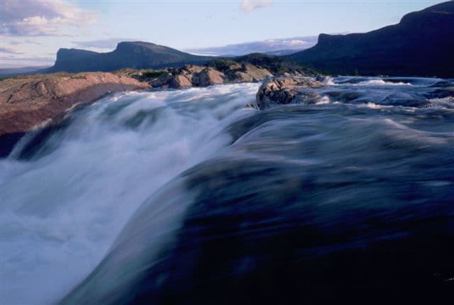
Stora Sjöfallet National Park was established in 1909, making it one of Sweden's original nine national parks and among the first protected areas in Europe. The primary motivation for protection was the spectacular Stuor Muorkkegårttje waterfall on the Lule River, which was then regarded as one of the most powerful and visually impressive cascades in Europe. The park's creation represented a pioneering effort in European conservation, part of Sweden's early 20th-century commitment to preserving its most significant natural landscapes.

However, the protection proved short-lived in practice. Shortly after designation, the Swedish government permitted hydroelectric development of the waterfall, which fundamentally transformed the character of the falls. Today, the once-magnificent cascade flows at significant volume only a few times per year, and the original waterfall area has been excised from the national park boundaries. Additional infrastructure impacts followed, including the construction of the Suorva dam, roads, gravel extraction areas, and power lines. By the 1960s, the park's national park status was actively questioned due to these extensive modifications, and the park's boundaries were already significantly reduced from their original extent beginning in 1919.

The naming of the five waterfall levels reflects the park's deep connections to Lapland's historical development. Each level bears the name of an important figure: SG Hermelin, a key industrial entrepreneur in Norrbotten's history; Lars Levi Laestadius, founder of the Laestadian religious movement; Carl Anton Petterson, who introduced Stora Sjöfallet to the Swedish public; and Henrik Adolf Widmark, a passionate advocate for Lapland's mountains.

Geologically, the mountains date to approximately 400 million years ago when continental collision eliminated the intervening sea and compressed seabed sediments into the mountain range. Evidence of the last ice age remains visible throughout the landscape in the form of terminal moraines and ice-polished rock outcrops.

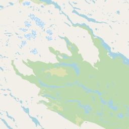
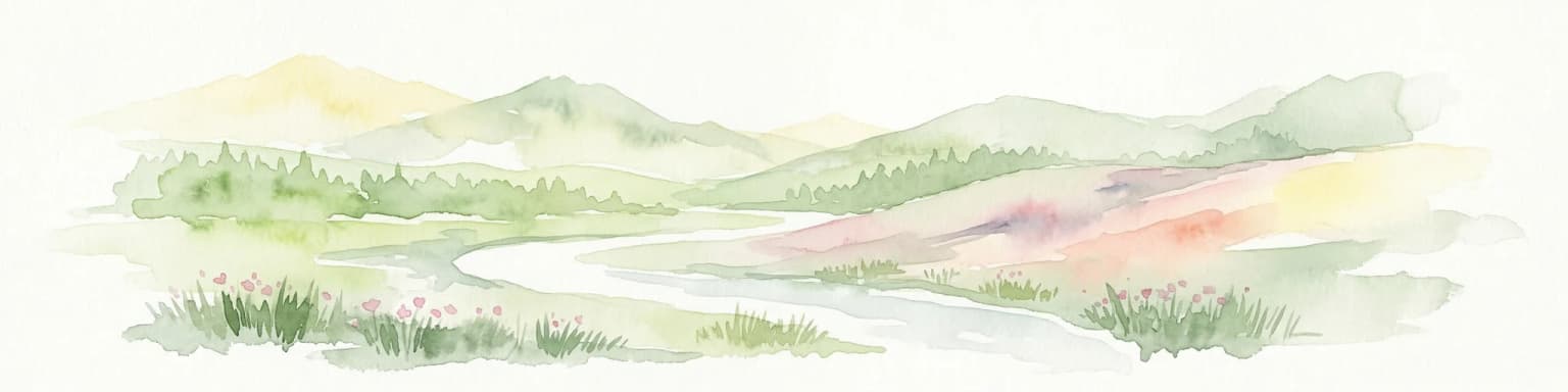
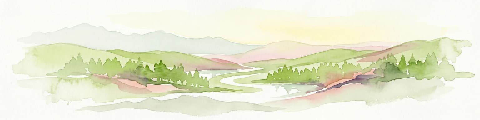
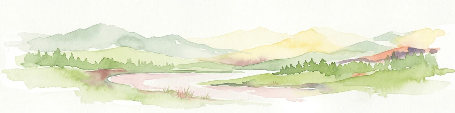
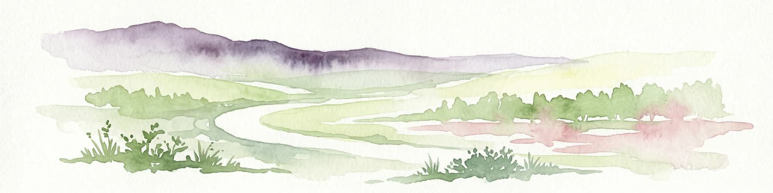
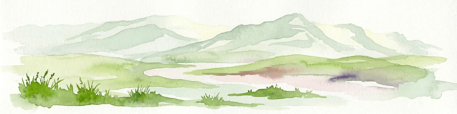
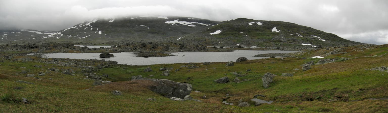
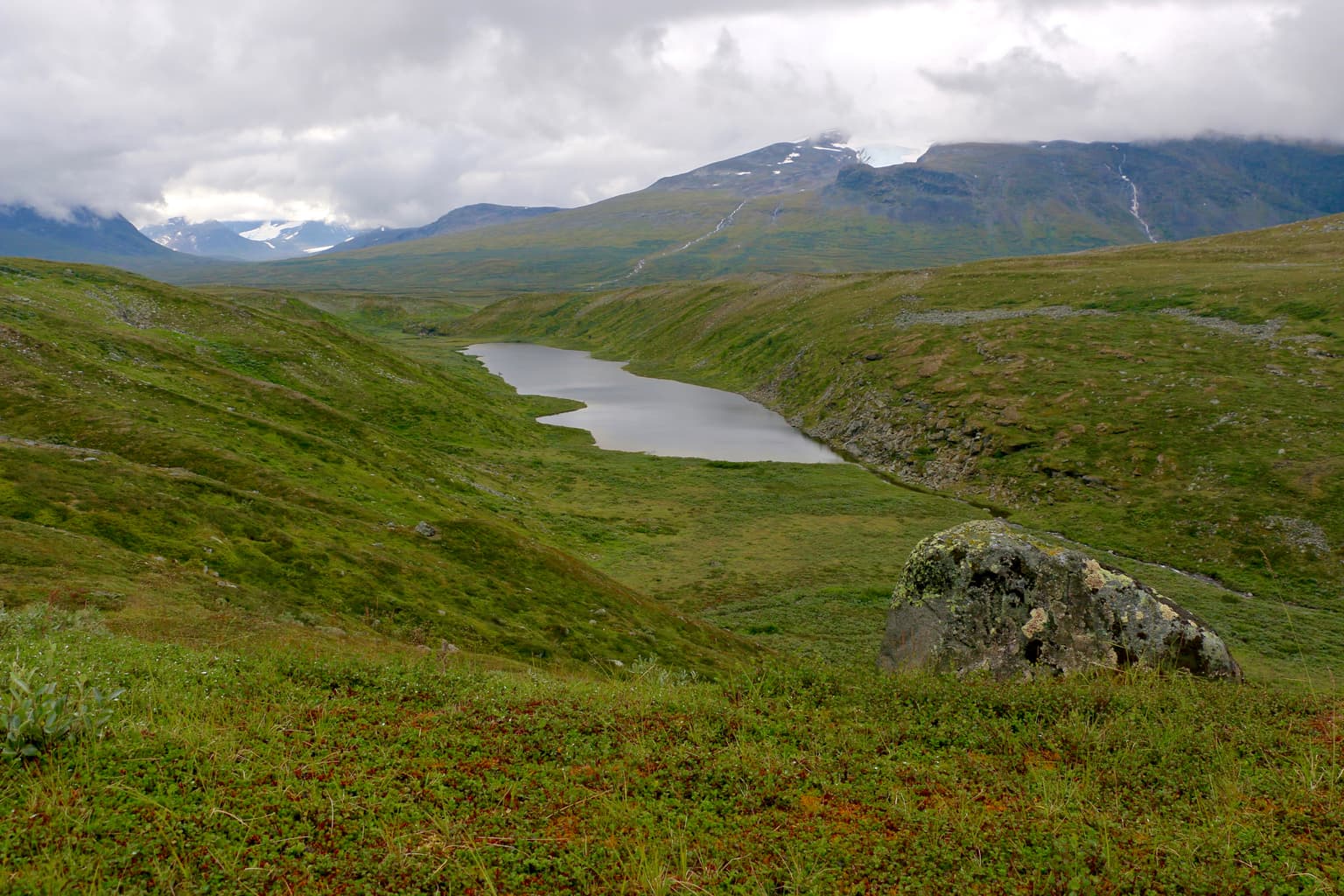
Stora Sjöfallet National Park landscape and geographic character

The landscape of Stora Sjöfallet National Park is defined by dramatic mountainous terrain shaped by ancient geological processes and glacial activity. The Áhkká massif dominates the southern portion of the park, rising prominently above the surrounding terrain with its thirteen peaks and ten glaciers. This mountain group, sometimes called the "queen of Lapland," is the park's most striking topographical feature and holds special cultural significance, having inspired Selma Lagerlöf's depictions in "The Wonderful Adventures of Nils."

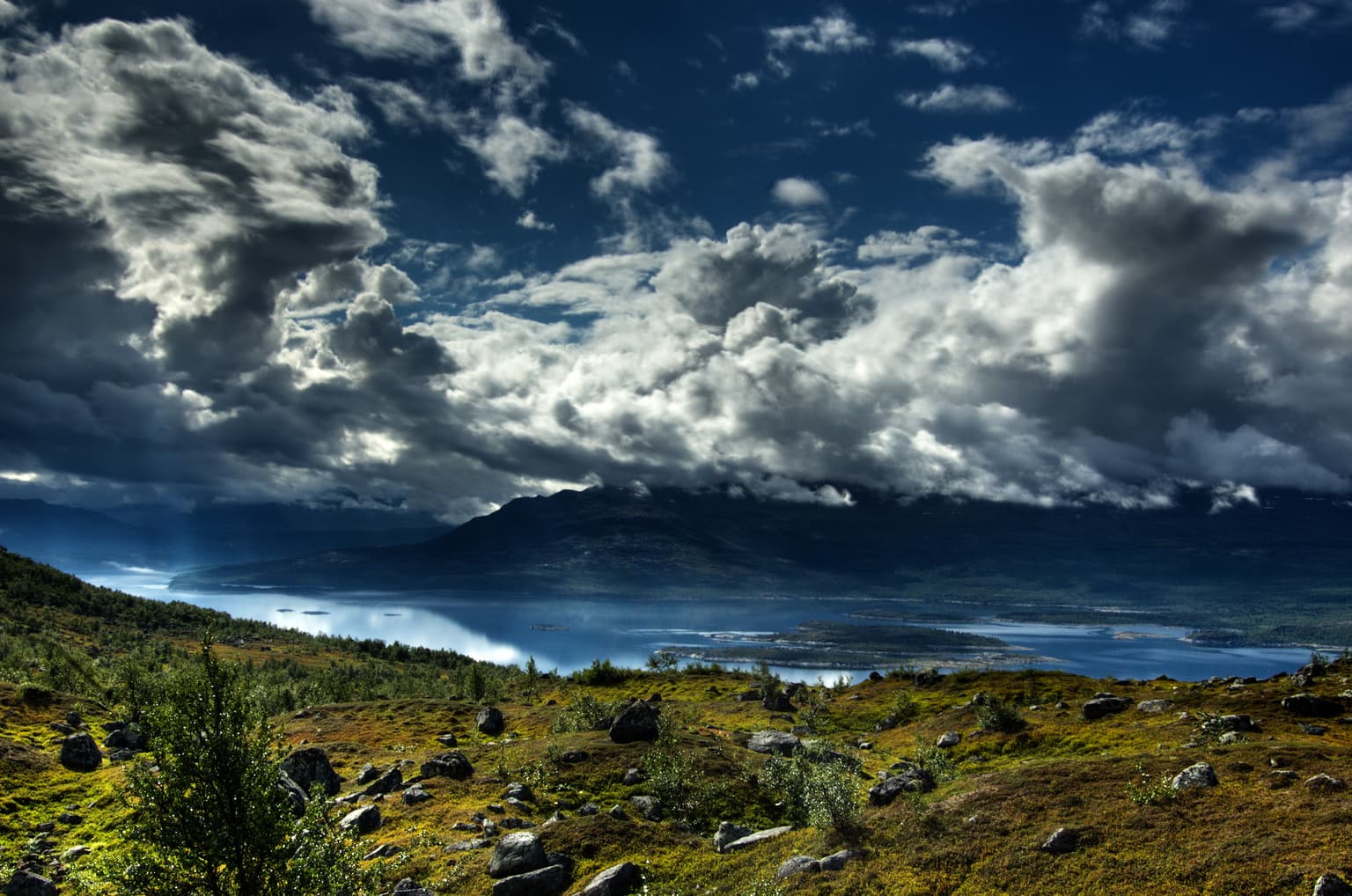
The park's highest point reaches 2,015 meters above sea level within the Áhkká massif. The mountains exhibit classic alpine character with steep faces, sharp ridges, and glacial cirques. The Teusa-valley in the north represents another distinctive landscape element—a narrow, deep glacial valley cutting through the Kallaktjåkkå mountain range. Below the high peaks, the terrain transitions through distinct vegetation zones. The lower hills in the southern portion support forests of fir trees, while the northern areas feature the long Kallaktjåkkå ridge system.

The Akkajaure reservoir, now an artificial lake created through hydroelectric development, bisects the park and serves as its hydrological centerpiece. The lake's shorelines reflect the environmental changes caused by water regulation. Terminal moraines and polished rock outcrops from the last ice age are visible throughout the park, providing tangible evidence of glacial processes that shaped this landscape. The glaciers within the Áhkká massif are actively retreating due to global warming, losing approximately 10 meters annually—a dynamic process transforming the park's character.

Waterfall flowing over rocks with mountains visible in the distance under a partly cloudy sky
Stora Sjöfallet waterfall flowing through rocky terrain with mountains in the background

Stora Sjöfallet National Park ecosystems, habitats, and plant life

The ecological diversity of Stora Sjöfallet reflects the pronounced elevation gradients and subarctic climate that characterize this northern Swedish landscape. The park's lime-poor bedrock has shaped distinctive vegetation patterns, with extensive areas covered by dwarf birch and crowberry—the dominant plant communities across much of the subarctic. Lichens thrive throughout the park, particularly in alpine and exposed areas, contributing to the characteristic open heathland appearance.

The park's flora includes approximately 400 mountain plant species, with roughly half of these documented within Stora Sjöfallet's boundaries—a remarkable concentration that reflects the site's ecological significance. Species such as Arenaria humifusa demonstrate the park's botanical importance. Cloudberry, known as "the gold of Lapland," fruits abundantly from mid-July through late August, representing a culturally and economically significant wild harvest. The park also features unique geological elements, including "sjöfallskvartsiten" or Sjöfalls sandstone, a distinctive rock formation found only within this protected area.

The elevational range creates pronounced vegetation zonation, from old-growth forest through mountain birch woodland to alpine tundra and bare mountain. This diversity supports varied habitats, with globe-flower and aconitum flourishing in moist hollows at middle elevations, while glacial buttercup, snow bunting, and rock ptarmigan inhabit the highest terrain. The eastern boundary adjoins Sjaunja, Sweden's largest bird reserve, extending the protected habitat network.

Panoramic view of Lake Nuortap Adtji surrounded by grassy terrain and rocky outcrops, with snow-capped mountains under a cloudy sky
Lake Nuortap Adtji in Stora Sjöfallet National Park, Sweden

Stora Sjöfallet National Park wildlife and species highlights

Stora Sjöfallet supports a diverse community of wildlife adapted to subarctic conditions. Approximately 125 bird species have been documented within the park, including common mountain birds such as European golden plover, meadow pipit, and northern wheatear. Wader species like Eurasian whimbrel breed in the wetlands, while raptors including eagles and rough-legged buzzards hunt across the open terrain. The long-tailed jaeger occupies coastal and wetland areas.

Rare species add special significance to the park's avifauna. With favorable conditions, visitors may observe the lesser white-fronted goose—one of Europe's most threatened goose species—the powerful gyrfalcon, or the elusive great grey owl. Sjaunja bird reserve adjoining the park's eastern boundary provides additional protected habitat for these species.

Mammal populations center on reindeer, the most commonly observed large mammal, with two Sami siida communities—Sörkaitum and Sirka—maintaining traditional reindeer husbandry within the park. Moose browse in the forested areas, while red fox, ermine, and rabbit are widespread. More elusive species present include lynx, wolverine, Arctic fox, and brown bear, reflecting the park's role as a refuge for predators in Sweden's northern wilderness. The large altitudinal range supports this diversity, with different species occupying distinct habitat zones from valley bottoms to alpine peaks.

A wide landscape view of a lake surrounded by rolling green hills and mountains under a cloudy sky
Lake Sjnjuvtjudisjávrásj surrounded by green hills and mountains in Stora Sjöfallet National Park

Stora Sjöfallet National Park conservation status and protection priorities

Stora Sjöfallet National Park holds significant conservation status as part of both the Laponian Area UNESCO World Heritage Site and the European Union's Natura 2000 network. The Laponian Area recognition reflects the outstanding universal value of this landscape, where natural ecosystems and Sami cultural traditions have co-evolved over centuries. This international designation provides additional protection frameworks beyond national park status.

The park protects a remarkable concentration of Sweden's mountain biodiversity, including approximately half of the country's mountain flora species. The variety of habitats—from old-growth forest through mountain birch to alpine tundra—supports populations of threatened species including the lesser white-fronted goose, gyrfalcon, Arctic fox, and brown bear. The adjacent Sjaunja bird reserve extends the protected area network, creating a significant conservation complex.

However, the park's conservation history includes significant challenges. Hydroelectric development fundamentally altered the original waterfall that motivated protection, and the national park boundaries were reduced to accommodate infrastructure. This history has prompted ongoing debates about the park's integrity and the balance between development and preservation. The remaining glaciers, retreating at approximately 10 meters annually due to climate change, represent dynamic conservation challenges as the park's character evolves with warming conditions.

Stora Sjöfallet National Park cultural meaning and human context

Stora Sjöfallet exists within a landscape of deep Sami cultural heritage. The park's Lule Sami name—Stuor Muorkke—means "Great Portage" or, according to the Swedish source, "a land between two lakes," reflecting the traditional use of this terrain by indigenous reindeer herders. Two Sami siida communities, Sörkaitum and Sirka, maintain active reindeer husbandry within the park boundaries, continuing practices that have shaped this landscape for generations.

The naming of the waterfall's five levels after historical figures—SG Hermelin, Lars Levi Laestadius, Düben, Carl Anton Petterson, and Henrik Adolf Widmark—demonstrates how the landscape has been shaped by both indigenous and settler histories. Lars Levi Laestadius was a pivotal figure in Sami religious and cultural history, founder of Laestadianism, while others contributed to the industrial and intellectual development of northern Sweden.

The park's inclusion in the Laponian Area UNESCO World Heritage Site explicitly recognizes the intertwined nature of natural and cultural values in this Arctic landscape. The traditional Sami practice of reindeer husbandry, intimately connected to seasonal movement patterns across this terrain, represents not merely historical artifact but living cultural practice that continues to define the region's identity.

Top sights and standout views in Stora Sjöfallet National Park

Stora Sjöfallet offers exceptional Arctic wilderness experiences centered on the iconic Áhkká massif, whose thirteen peaks and ten glaciers create one of Sweden's most dramatic mountain landscapes. The Kungsleden trail provides accessible wilderness hiking through the northern sections, while the southern areas require more adventurous exploration. The park's ecological significance is extraordinary—protecting approximately half of Sweden's mountain plant species across elevational zones from old-growth forest through alpine tundra. Wildlife viewing opportunities include sightings of reindeer, moose, and potentially brown bear, Arctic fox, or wolverine for patient observers. The cultural dimension adds depth, with active Sami reindeer husbandry continuing traditional practices within the park boundaries, and the Laponian Area designation recognizing this integration of culture and nature.

Best time to visit Stora Sjöfallet National Park

Stora Sjöfallet is most accessible from March through September, when winter conditions ease and the landscape reveals its full character. Summer months (June to August) offer the warmest temperatures, extended daylight hours characteristic of Arctic locations, and the opportunity to observe cloudberry harvesting in mid-to-late summer. The brief growing season brings alpine flora into bloom, creating colorful displays across the tundra. Winter (October to February) transforms the park into a snow-covered wilderness suitable for skiing, snowmobiling, and experiencing the Arctic's stark beauty, though conditions are more challenging and facilities more limited. The shoulder seasons of spring and autumn offer fewer visitors and unique landscape qualities, though access may be more restricted.

Park location guide

Geography guide, regional context, and park location map for Stora Sjöfallet National Park

Stora Sjöfallet National Park park geography, regions, and map view in Sweden
Understand where Stora Sjöfallet National Park sits in Sweden through a broader geographic reading of the surrounding landscape, nearby location context, and its mapped position within the national park landscape.

How Stora Sjöfallet National Park fits into Sweden

Sweden, formally the Kingdom of Sweden, is a highly developed Nordic country on the Scandinavian Peninsula in Northern Europe. With a population of 10.6 million and an area of 450,295 km², it is the largest Nordic country by both area and population. Sweden is a constitutional monarchy with Stockholm as its capital and largest city, known for its advanced economy, social welfare system, and membership in the European Union and NATO.

Wider geography shaping Stora Sjöfallet National Park in Sweden

Sweden occupies the eastern portion of the Scandinavian Peninsula in Northern Europe. It borders Norway to the west and north, Finland to the east, and shares a maritime border with Denmark to the southwest across the Øresund. The country has an extensive coastline along the Baltic Sea and Gulf of Bothnia, dotted with thousands of islands. The terrain varies from mountainous regions in the northwest to low-lying coastal areas and inland lakes in the south and central parts.

Map view of Stora Sjöfallet National Park

Use this park location map to pinpoint Stora Sjöfallet National Park in Sweden, understand its exact geographic position, and read its mapped placement within the surrounding landscape more clearly.

Pigeon | © OpenStreetMap contributors

Location context for Stora Sjöfallet National Park

Gällivare MunicipalityJokkmokk MunicipalityNorrbotten County

Visual reference for Stora Sjöfallet's dramatic glacial terrain, high alpine ecosystems, and protected wilderness character within Sweden's Laponian Area.

Stora Sjöfallet National Park Photos: Explore Arctic Mountain Landscapes, Glaciers, and Subarctic Habitats
Browse a curated collection of Stora Sjöfallet National Park images to visually understand its diverse Arctic and subarctic environments, from towering mountain peaks to ancient forests and glacial valleys. These park photographs offer an essential atlas of its protected landscapes, illustrating the unique blend of natural beauty and ecological significance that defines this vast Swedish wilderness.

Mountainous landscape with a lake under dramatic clouds, showing open terrain with rocks and sparse vegetation

A scenic view of a river flowing through a grassy valley with snow-capped mountains in the background and two small trees in the foreground

Waterfall flowing over rocks with mountains visible in the distance under a partly cloudy sky

Panoramic view of Lake Nuortap Adtji surrounded by grassy terrain and rocky outcrops, with snow-capped mountains under a cloudy sky

A wide landscape view of a lake surrounded by rolling green hills and mountains under a cloudy sky

Park atlas

Trace the regional geography of Sweden's vast protected areas, including sites within the Laponian Area.

Continue Your Discovery: Nearby National Parks and Protected Areas Beyond Stora Sjöfallet National Park
After exploring Stora Sjöfallet National Park, browse other national parks and protected areas throughout Sweden's expansive Arctic landscape, revealing the full geographic spread of conservation efforts. Compare diverse subarctic ecosystems and glacial terrain in nearby parks, gaining a deeper atlas-based understanding of the region's protected wildlands and their unique features.
Watercolor illustration of a mountainous landscape with a river, grass, and distant hills
National parkNorrbotten County

Sarek National Park: Mapping Sweden's Rugged Alpine Wilderness and Glacial Terrain

Explore the mapped geography of Norrbotten County's largest alpine national park.

Sarek National Park represents the heart of Sweden's alpine wilderness, a protected landscape defined by its towering mountain peaks, expansive glaciers, and deeply carved glacial valleys. Situated in Norrbotten County, the park's geography is characterized by a remote and rugged terrain, making it a prime destination for understanding high-altitude natural environments through mapped context. Discover the unique contours of this iconic national park and its place within the broader regional geography of Swedish Lapland.

Area
1,970 km²
Established
1909
IUCN
II
Relief
Mountain
Watercolor illustration of a winding river through a green landscape with distant mountains
National parkNorrbotten County

Padjelanta National Park: Sweden's Largest National Park Protected Plateau Landscape

Explore subarctic terrain, large lakes, and Laponia World Heritage Site geography.

Padjelanta National Park, situated in Norrbotten County, is Sweden's largest national park. It features a distinctive subarctic plateau ecosystem centered around two vast lakes, offering a starkly open landscape compared to adjacent alpine areas. This protected area is renowned for its exceptional botanical and lichen diversity, a vital part of the Laponia World Heritage Site. Users can explore its mapped geography, unique terrain, and the cultural significance of this expansive arctic wilderness.

Area
1,984 km²
Established
1963
IUCN
II
Relief
Highland
Watercolor painting showing green hills, a body of water, and distant mountains
National parkNorrbotten County

Abisko National Park

Subarctic national park with unique landscapes

Abisko National Park in Swedish Lapland offers a glimpse into dramatic subarctic terrain. Explore its protected boundaries, river canyons, and alpine tundra through structured geographic data.

Area
77 km²
Established
1909
IUCN
II
Visitors
50K annual
Watercolor illustration showing mountains, a river, and forests in a landscape
National parkNordland

Rago National Park: Northern Norway's Protected Mountain Wilderness and Transboundary Atlas

Explore the mapped terrain and unique landscape context of this significant protected area.

Rago National Park is a protected national park in Nordland, Norway, recognized for its challenging mountainous terrain and its crucial role as part of a vast transboundary protected area complex spanning into Sweden. The park's landscape features alpine lakes and glaciers, offering a stark representation of northern Scandinavian mountain wilderness. Understanding Rago National Park provides insight into regional conservation efforts and the geographic significance of large-scale protected lands in Europe.

Area
171 km²
Established
1971
IUCN
II
Relief
Mountain
National parkNorrbotten County

Muddus National Park: Explore Sweden's Largest Old-Growth Protected Forest Landscape

Mapped boreal terrain with ancient pines and dramatic ravines.

Muddus National Park is a landmark protected area in Norrbotten County, celebrated for its immense scale and preserved old-growth forest character. This national park features a unique geography defined by ancient coniferous forests, including Sweden's oldest pine tree, alongside striking ravines and extensive mire systems. As part of the Laponian Area UNESCO World Heritage Site, Muddus offers an unparalleled opportunity for atlas-based discovery of an undisturbed boreal ecosystem accessible solely by foot, highlighting its profound natural and mapped landscape significance.

Area
493.4 km²
Established
1942
IUCN
II
Relief
Upland
National parkNorrbotten County

Vadvetjåkka National Park: Arctic Mountain Landscape and Karst Terrain

Northernmost National Park in Norrbotten County, Sweden

Vadvetjåkka National Park offers a unique atlas perspective on Sweden's northernmost protected mountain landscape. Explore its remote Arctic terrain, characterized by glaciers existing at unusual low altitudes and significant karst cave systems carved into limestone bedrock. This is a vital point for understanding the mapped geography and protected natural features of Norrbotten County and Swedish Lapland.

Area
26.3 km²
Established
1920
IUCN
II
Relief
Mountain
National parkTroms

Rohkunborri National Park: Northern Norway's Dramatic Protected Landscape

Explore its mapped terrain, canyon, and alpine ecosystems.

Rohkunborri National Park offers a profound encounter with northern Norway's wild geography. As a designated national park in Troms county, it features the iconic Sørdalen canyon, a dominant geological feature that shapes its diverse terrain. The park's landscape encompasses a rich ecological gradient, from boreal forests to alpine tundra, supporting a variety of wildlife. This protected area is crucial for understanding Scandinavian mountain ecosystems and transboundary conservation efforts, providing rich content for atlas-based exploration of its mapped boundaries and natural context.

Area
571 km²
Established
2011
IUCN
II
Relief
Mountain
Watercolor illustration of a landscape with rolling hills, a river, and trees
National parkNordland

Junkerdal National Park: Protected Arctic-Alpine Landscape in Nordland, Norway

Explore mapped boundaries and unique geographic context.

Delve into Junkerdal National Park, a significant protected area within Nordland county, Norway. This national park is celebrated for its rich arctic-alpine flora, including rare plant species that thrive at their southernmost European range. The varied landscape, shaped by glacial activity, features dramatic mountain valleys and alpine plateaus, offering a distinct geographic profile. Understand its protected status and mapped terrain, providing a critical point of discovery for regional landscape context.

Area
682 km²
Established
2004
IUCN
II
Relief
Mountain

Common questions about visiting, size, designation, and location context for Stora Sjöfallet National Park

Stora Sjöfallet National Park FAQs for park facts, access, geography, and protected area context
Find quick answers about Stora Sjöfallet National Park, including protected-area facts, park geography, trail and visitor context, and how the park fits into its surrounding country and regional landscape.
MoriAtlas Explorer

Continue Your Protected Areas Search Across the Global Atlas

Deepen your exploration by continuing the structured search for national parks and protected areas worldwide. Utilize the comprehensive filtering capabilities to compare different conservation landscapes and refine your understanding of global park geography. Discover more about the distribution and characteristics of protected natural areas.

Global natural geography