Mori Atlas logo
National parkMuddus National Park

Discover Sweden's largest protected boreal ecosystem with mapped ancient pine forests and dramatic ravines.

Muddus National Park: A Pristine Old-Growth Forest Landscape in Norrbotten County

Muddus National Park represents a vast expanse of pristine boreal wilderness in Sweden's Norrbotten County, renowned for its exceptionally old-growth forests and undisturbed natural terrain. As a core component of the Laponian Area UNESCO World Heritage Site, this national park offers a unique opportunity to explore a landscape shaped by ancient ecological processes, characterized by dramatic ravines, extensive peat mires, and the presence of Sweden's oldest documented pine tree. The park's complete absence of roads provides an authentic, car-free wilderness experience, inviting a deep connection with its mapped natural features and protected ecosystem.

old-growth foresttaigaboreal ecosystemUNESCO World Heritagemires and wetlandsrocky ravines

Muddus National Park

National park

Park overview

Structured park overview, official facts, and landscape profile for Muddus National Park

Muddus National Park park facts, protected area profile, and essential visitor context
Review the core facts for Muddus National Park, including designation, size, terrain, visitor scale, habitats, and operating context in one park-focused overview.

About Muddus National Park

Muddus National Park represents one of Scandinavia's most significant protected wilderness areas, protecting a landscape that has evolved through natural fire regimes and ecological succession for millennia. Located in the heart of Swedish Lapland, the park occupies a transitional zone between the flat coastal lowlands and the mountainous terrain further north. The name Muddus derives from the Lule Sami term Muttos, reflecting the deep cultural connection between the indigenous Sámi people and this landscape. The park was established in 1942 and expanded in 1984 to encompass its current extent of approximately 493 square kilometers, making it the largest forest-focused national park in Sweden. The terrain rises gently from the surrounding landscape, with the southern portions containing distinctive valleys featuring near-vertical rock walls reaching heights of nearly 100 meters. Muddusjokk, a notable waterfall, drops through one of these ravine systems, creating one of the park's most scenic attractions. The park's protection mandate focuses on preserving the forest and mire landscapes in their natural state, allowing ecological processes to continue without significant human intervention. This approach has maintained populations of species characteristic of old-growth boreal forest, including capercaillie, black grouse, and hazel grouse, as well as larger mammals such as reindeer, which graze the area year-round.

Quick facts and research context for Muddus National Park

Muddus National Park lies in northern Swedish Lapland, primarily within Gällivare Municipality with a smaller portion in Jokkmokk Municipality. Established in 1942 and significantly expanded in 1984, it is Sweden's largest forest national park. The protected area encompasses old-growth taiga forest, extensive wetland systems, and deep ravine valleys. The park is part of the Laponian World Heritage Area and is managed by Sweden's Environmental Protection Agency (Naturvårdsverket). The landscape is entirely roadless, maintaining a pristine wilderness character.

Park context

Deeper park guide and search-rich context for Muddus National Park

Muddus National Park history, landscape, wildlife, and travel context
Explore Muddus National Park through its history, landscape character, ecosystems, wildlife, conservation priorities, cultural context, and seasonal travel timing in a structured park guide built for atlas discovery and search intent.

Why Muddus National Park stands out

Muddus is renowned for its exceptional old-growth pine forests, some of the oldest in Sweden, standing as living witnesses to centuries of boreal ecological processes. The park safeguards Sweden's oldest documented pine tree, a remarkable 700-year-old specimen. The landscape features dramatic ravines cutting through granite bedrock, creating a rugged terrain distinct from the more level terrain typical of northern Sweden. The extensive mire systems, ranging from ombrotrophic bogs to rich fens, represent a biodiversity-rich wetland complex supporting numerous bryophyte species. The absence of any vehicular access preserves an authentic wilderness experience.

Muddus National Park history and protected-area timeline

Muddus National Park was established in 1942 as one of Sweden's earliest protected wilderness areas, representing a pioneering effort to preserve the nation's natural heritage. The initial designation protected a substantial area of old-growth forest and mire landscape, but the boundaries were expanded in 1948 to include additional territory. A more significant expansion occurred in 1984, substantially increasing the park's extent and cementing its status as Sweden's largest forest national park. The park's establishment reflected growing recognition in the mid-twentieth century of the need to protect remaining old-growth forest areas from the expanding forestry industry that had begun to transform much of northern Sweden's landscape. The inclusion of Muddus within the Laponian Area World Heritage designation, ratified by UNESCO in 1996, provided international recognition of its outstanding universal value. This broader designation encompasses several adjacent protected areas including Sarek, Padjelanta, and Stora Sjöfallet, creating one of Europe's largest contiguous protected wilderness complexes.

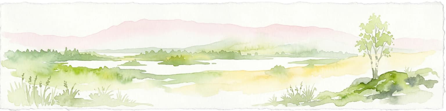
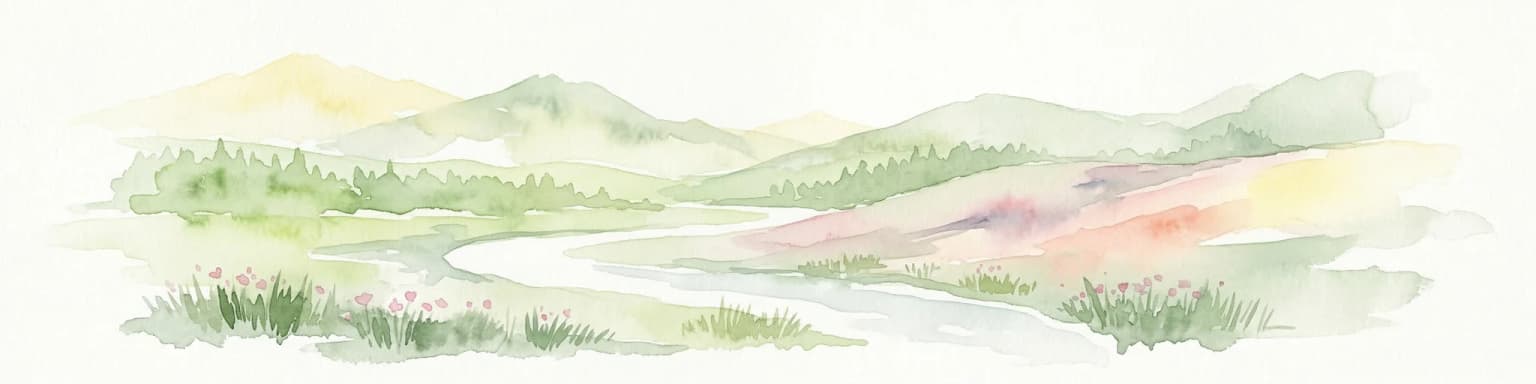
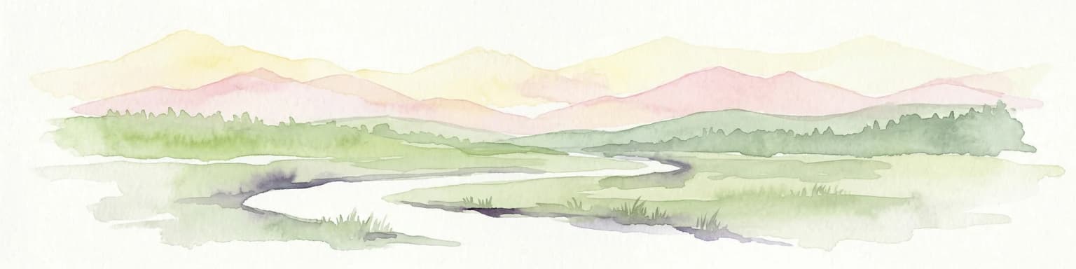
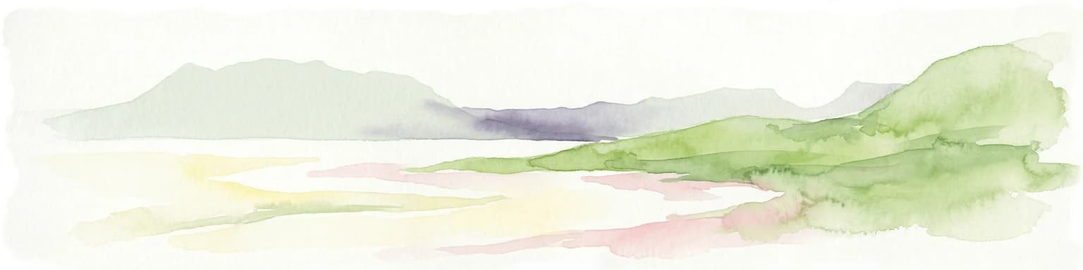
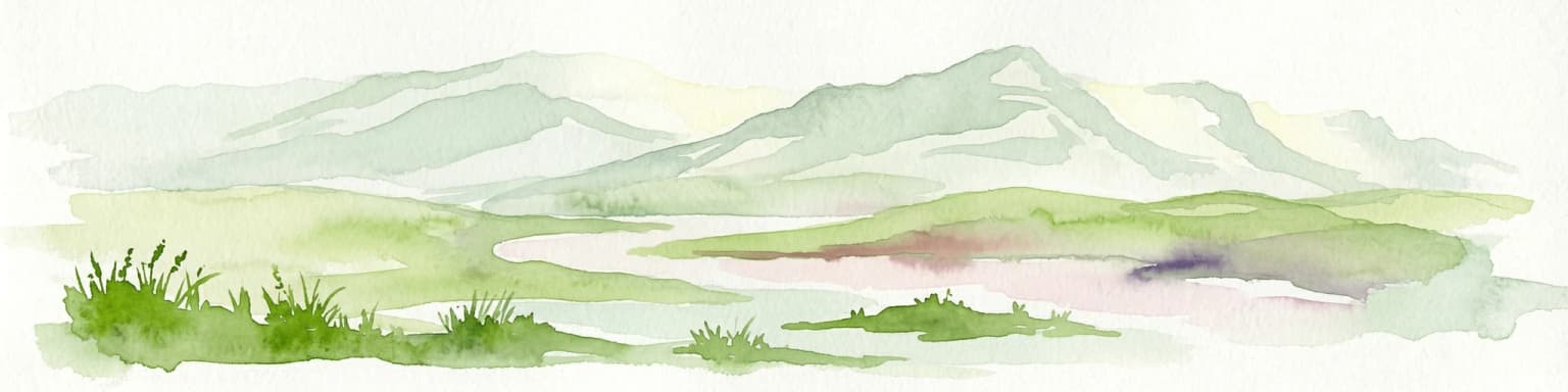
Muddus National Park landscape and geographic character

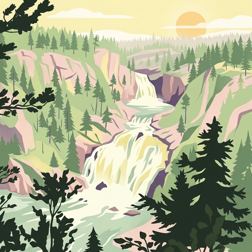
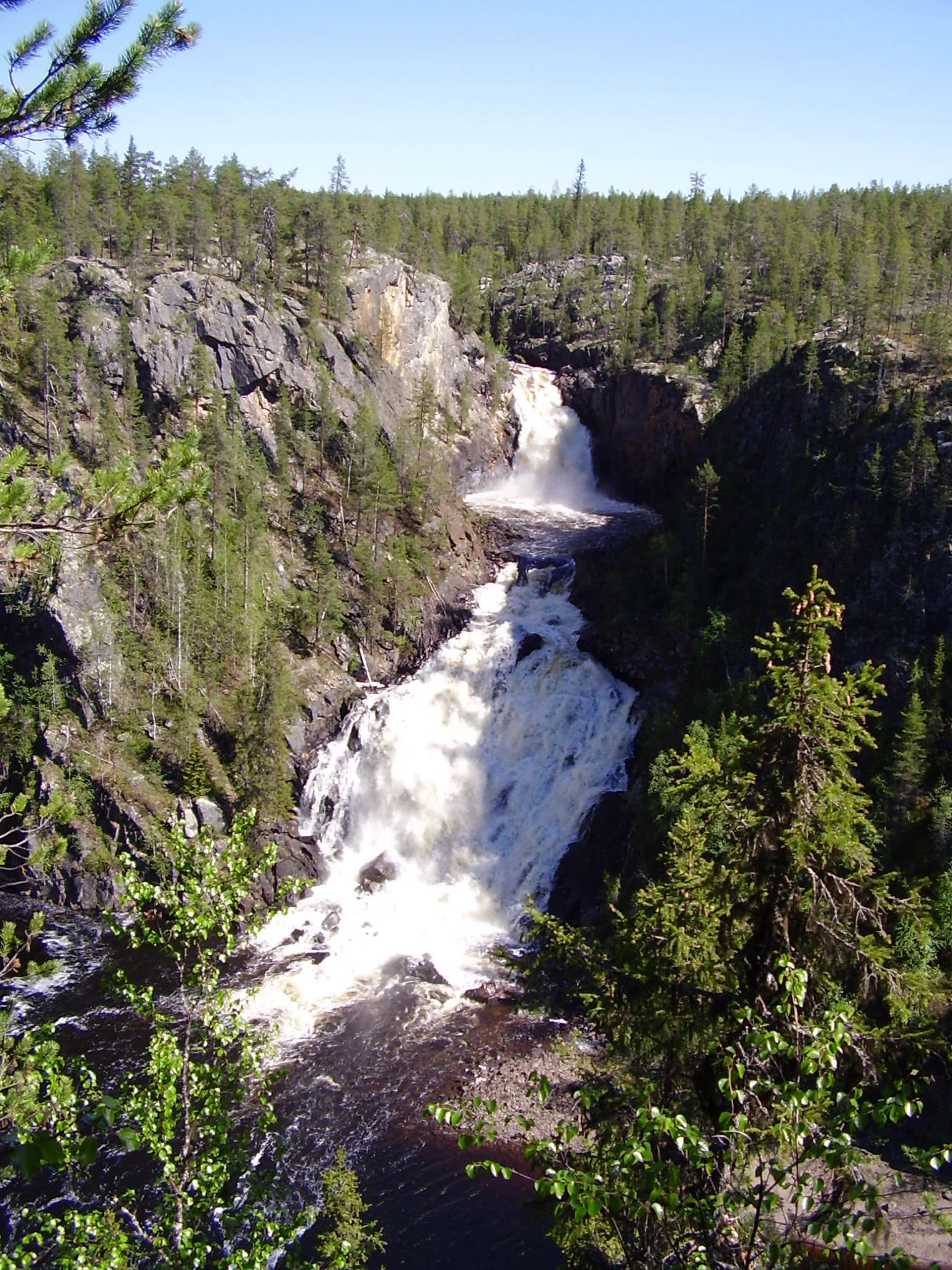
The physical landscape of Muddus National Park displays a characteristic boreal terrain shaped by glacial processes and subsequent erosion. The underlying bedrock consists of ancient granitic rocks, with dramatic ravines carving through the landscape where water has cut deep channels between rocky outcrops. The terrain is neither fully flat nor mountainous, but occupies an intermediate zone of low mountains and rolling hills. Valley floors contain the park's most spectacular scenery, where near-vertical rock walls in the southern sector rise as much as 100 meters above the valley floor. Between the rocky ridges lie extensive wetlands, with the mires representing some of the most ecologically significant landscape features. The forest canopy is dominated by pine and spruce, with the oldest trees reaching impressive dimensions in the primeval forest areas. The absence of any road infrastructure means the landscape can only be experienced on foot, with trails following traditional routes through the forest and along the ravine edges.

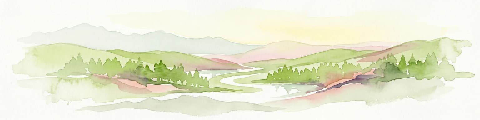
Muddus National Park ecosystems, habitats, and plant life

The ecological character of Muddus reflects the diversity of boreal forest and wetland habitats found in northern Sweden. The old-growth forest represents a climax ecosystem that has developed over centuries without significant timber extraction, featuring large-diameter trees, standing dead snags, and fallen logs that provide critical habitat for numerous species. The mire complex within the park spans a gradient from nutrient-poor ombrotrophic bogs to more mineral-rich fens, creating a mosaic of wetland types that support distinct plant communities. Bryophyte diversity is particularly notable, with 66 species documented in the wetland surveys. The forest types include pine-dominated woodlands on drier sites and spruce-dominated areas in moister valleys, with each supporting different assemblages of forest-floor organisms. The natural fire regime has shaped the forest composition, with fire intervals averaging approximately 110 years in the pine forests, though the interval since the last significant fire approaches 150 years in some areas.

Muddus National Park wildlife and species highlights

The wildlife community of Muddus reflects the healthy old-growth forest and wetland habitats that the park protects. Bird communities are particularly well-documented, with capercaillie representing the most abundant large grouse species, present throughout the forest year-round. Black grouse and hazel grouse occupy similar forest habitats, while Siberian jay and Siberian tit are characteristic species of the northern taiga, most frequently observed during the summer months. Waterfowl including whooper swans, bean geese, and black-throated loons nest on the lakes scattered throughout the park. Marsh areas provide habitat for cranes, various sandpiper species, and snipe. The mammalian fauna includes reindeer, which graze the area throughout the year as part of traditional Sámi herding practices. Larger predators including brown bears, lynx, and wolverines are present but rarely encountered by visitors. Spider diversity has been studied in the park, with 157 species recorded, reflecting the complex habitat structure provided by the forest and wetland mosaic.

Muddus National Park conservation status and protection priorities

Muddus National Park serves as a critical component of Sweden's protected area network, representing the country's largest forest-focused conservation designation. The park's inclusion in the Laponian Area World Heritage Site recognizes its outstanding universal value as a representative boreal wilderness ecosystem. The protected status ensures that natural ecological processes, including fire succession and nutrient cycling, continue without significant human interference. The park's roadless character is itself a significant conservation achievement, preserving landscape connectivity and allowing wildlife populations to maintain natural movement patterns. The mire systems function as important carbon stores and water regulation features, while the old-growth forests harbor species dependent on decaying wood and ancient tree structures. The protection of Sweden's oldest known pine tree within the park serves as a living symbol of the continuity of ecological processes that the park is designed to maintain.

Muddus National Park cultural meaning and human context

The landscape of Muddus carries deep cultural significance for the Sámi people, the indigenous inhabitants of northern Sweden. The park area is associated with numerous stories and traditional knowledge relating to Sámi history and mythology. The Sámi name Muttos reflects this long-standing connection between human communities and the land. The Stora Luleälv (Great Lule River) flows to the west and south of the park, a watercourse that has been important for transportation, fishing, and as a boundary between different Sámi seasonal grazing territories. While the park itself is designated as a strict nature reserve with minimal infrastructure, the surrounding landscape maintains connections to living Sámi culture through continued reindeer husbandry that operates in the broader region.

Top sights and standout views in Muddus National Park

Muddus National Park offers visitors an authentic wilderness experience in Sweden's most extensive old-growth forest preserve. The primeval pine forests contain specimens dating back centuries, including the nation's oldest known pine tree. Deep ravines with near-vertical rock walls create dramatic scenery, while Muddusjokk waterfall provides a striking natural focal point. The extensive wetland systems support exceptional bryophyte diversity and create a landscape of ecological complexity. The complete absence of roads ensures a car-free wilderness experience, accessible only by foot along established trails. The park's World Heritage status within the Laponian Area confirms its international significance as a boreal wilderness of outstanding value.

Best time to visit Muddus National Park

The optimal season for visiting Muddus National Park spans from late spring through early autumn, when the boreal landscape is most accessible and wildlife activity is highest. Summer months of June through August bring extended daylight hours typical of northern Scandinavia, with the midnight sun providing opportunities for extended exploration. July and August typically offer the warmest conditions for hiking and the best chances for observing wildlife active in the forest. Autumn brings the onset of fall colors, as the pine and spruce forests take on golden and amber hues, though weather becomes more unpredictable. Winter visits are possible but require preparation for extreme cold and limited daylight, with the landscape transformed by snow cover into a starkly beautiful northern wilderness.

Park location guide

Geography guide, regional context, and park location map for Muddus National Park

Muddus National Park park geography, regions, and map view in Sweden
Understand where Muddus National Park sits in Sweden through a broader geographic reading of the surrounding landscape, nearby location context, and its mapped position within the national park landscape.

How Muddus National Park fits into Sweden

Sweden, formally the Kingdom of Sweden, is a highly developed Nordic country on the Scandinavian Peninsula in Northern Europe. With a population of 10.6 million and an area of 450,295 km², it is the largest Nordic country by both area and population. Sweden is a constitutional monarchy with Stockholm as its capital and largest city, known for its advanced economy, social welfare system, and membership in the European Union and NATO.

Wider geography shaping Muddus National Park in Sweden

Sweden occupies the eastern portion of the Scandinavian Peninsula in Northern Europe. It borders Norway to the west and north, Finland to the east, and shares a maritime border with Denmark to the southwest across the Øresund. The country has an extensive coastline along the Baltic Sea and Gulf of Bothnia, dotted with thousands of islands. The terrain varies from mountainous regions in the northwest to low-lying coastal areas and inland lakes in the south and central parts.

Map view of Muddus National Park

Use this park location map to pinpoint Muddus National Park in Sweden, understand its exact geographic position, and read its mapped placement within the surrounding landscape more clearly.

Pigeon | © OpenStreetMap contributors

Location context for Muddus National Park

Norrbotten County
Park atlas

Map the surrounding protected areas in Lapland, Sweden, and compare their unique boreal and forest landscapes.

Discover More National Parks and Protected Landscapes Around Muddus National Park
Broaden your protected area discovery by exploring other national parks and forest reserves geographically near Muddus National Park in northern Sweden's expansive Lapland region. This geographic comparison helps trace the spread of unique boreal ecosystems, ancient old-growth forests, and vast wetland systems across adjacent conservation landscapes.
Watercolor painting of a landscape featuring a body of water, green fields, a single tree, and distant mountains under a light sky
National parkNorrbotten County

Stora Sjöfallet National Park: Protected Arctic Landscape in Norrbotten County

Explore mapped terrain and regional geography.

Stora Sjöfallet National Park stands as a significant protected landscape within Norrbotten County, Sweden, renowned for its striking Arctic mountain scenery centered on the Áhkká massif. As a key component of the Laponian Area UNESCO World Heritage Site, its vast expanse of over 1,278 square kilometers offers critical insights into subarctic ecosystems, glacial terrain, and the mapped boundaries of a protected natural territory. Discover the unique geographic features and ecological value of this expansive national park.

Area
1,278 km²
Established
1909
IUCN
II
Relief
Mountain
Watercolor illustration of a mountainous landscape with a river, grass, and distant hills
National parkNorrbotten County

Sarek National Park: Mapping Sweden's Rugged Alpine Wilderness and Glacial Terrain

Explore the mapped geography of Norrbotten County's largest alpine national park.

Sarek National Park represents the heart of Sweden's alpine wilderness, a protected landscape defined by its towering mountain peaks, expansive glaciers, and deeply carved glacial valleys. Situated in Norrbotten County, the park's geography is characterized by a remote and rugged terrain, making it a prime destination for understanding high-altitude natural environments through mapped context. Discover the unique contours of this iconic national park and its place within the broader regional geography of Swedish Lapland.

Area
1,970 km²
Established
1909
IUCN
II
Relief
Mountain
Watercolor illustration of a winding river through a green landscape with distant mountains
National parkNorrbotten County

Padjelanta National Park: Sweden's Largest National Park Protected Plateau Landscape

Explore subarctic terrain, large lakes, and Laponia World Heritage Site geography.

Padjelanta National Park, situated in Norrbotten County, is Sweden's largest national park. It features a distinctive subarctic plateau ecosystem centered around two vast lakes, offering a starkly open landscape compared to adjacent alpine areas. This protected area is renowned for its exceptional botanical and lichen diversity, a vital part of the Laponia World Heritage Site. Users can explore its mapped geography, unique terrain, and the cultural significance of this expansive arctic wilderness.

Area
1,984 km²
Established
1963
IUCN
II
Relief
Highland
National parkNorrbotten County

Pieljekaise National Park: Ancient Birch Woodland and Glacial Terrain in Norrbotten

Explore Sweden's protected landscape and mapped geography.

Pieljekaise National Park, a historic protected area in Norrbotten County, showcases one of Scandinavia's most intact boreal birch woodlands. Its landscape is shaped by ancient glacial activity, featuring a U-shaped valley, rolling hills covered in primeval-like birch forests, and distinctive twin peaks. Positioned along the renowned Kungsleden trail, this national park serves as a vital point for understanding the mapped geography and protected natural heritage of Sweden's Lapland region.

Area
153.4 km²
Established
1909
IUCN
II
Relief
Upland
Watercolor painting showing green hills, a body of water, and distant mountains
National parkNorrbotten County

Abisko National Park

Subarctic national park with unique landscapes

Abisko National Park in Swedish Lapland offers a glimpse into dramatic subarctic terrain. Explore its protected boundaries, river canyons, and alpine tundra through structured geographic data.

Area
77 km²
Established
1909
IUCN
II
Visitors
50K annual
Watercolor illustration showing mountains, a river, and forests in a landscape
National parkNordland

Rago National Park: Northern Norway's Protected Mountain Wilderness and Transboundary Atlas

Explore the mapped terrain and unique landscape context of this significant protected area.

Rago National Park is a protected national park in Nordland, Norway, recognized for its challenging mountainous terrain and its crucial role as part of a vast transboundary protected area complex spanning into Sweden. The park's landscape features alpine lakes and glaciers, offering a stark representation of northern Scandinavian mountain wilderness. Understanding Rago National Park provides insight into regional conservation efforts and the geographic significance of large-scale protected lands in Europe.

Area
171 km²
Established
1971
IUCN
II
Relief
Mountain
Watercolor illustration of a landscape with rolling hills, a river, and trees
National parkNordland

Junkerdal National Park: Protected Arctic-Alpine Landscape in Nordland, Norway

Explore mapped boundaries and unique geographic context.

Delve into Junkerdal National Park, a significant protected area within Nordland county, Norway. This national park is celebrated for its rich arctic-alpine flora, including rare plant species that thrive at their southernmost European range. The varied landscape, shaped by glacial activity, features dramatic mountain valleys and alpine plateaus, offering a distinct geographic profile. Understand its protected status and mapped terrain, providing a critical point of discovery for regional landscape context.

Area
682 km²
Established
2004
IUCN
II
Relief
Mountain
National parkTroms

Rohkunborri National Park: Northern Norway's Dramatic Protected Landscape

Explore its mapped terrain, canyon, and alpine ecosystems.

Rohkunborri National Park offers a profound encounter with northern Norway's wild geography. As a designated national park in Troms county, it features the iconic Sørdalen canyon, a dominant geological feature that shapes its diverse terrain. The park's landscape encompasses a rich ecological gradient, from boreal forests to alpine tundra, supporting a variety of wildlife. This protected area is crucial for understanding Scandinavian mountain ecosystems and transboundary conservation efforts, providing rich content for atlas-based exploration of its mapped boundaries and natural context.

Area
571 km²
Established
2011
IUCN
II
Relief
Mountain

Common questions about visiting, size, designation, and location context for Muddus National Park

Muddus National Park FAQs for park facts, access, geography, and protected area context
Find quick answers about Muddus National Park, including protected-area facts, park geography, trail and visitor context, and how the park fits into its surrounding country and regional landscape.
MoriAtlas Explorer

Continue Your Protected Areas Search Across the Global Atlas

Deepen your exploration by continuing the structured search for national parks and protected areas worldwide. Utilize the comprehensive filtering capabilities to compare different conservation landscapes and refine your understanding of global park geography. Discover more about the distribution and characteristics of protected natural areas.

Global natural geography