Mori Atlas logo
National parkVadvetjåkka National Park

Explore the unique geography of this remote national park in Norrbotten County, Sweden.

Vadvetjåkka National Park: Sweden's Northernmost Arctic Mountain Landscape and Karst Caves

Vadvetjåkka National Park, situated in Norrbotten County, represents Sweden's most northerly national park, offering a glimpse into a pristine high-arctic mountain landscape. Its remote setting near the Norwegian border preserves unique geographic features, including glaciers found at remarkably low altitudes due to maritime climate influences and extensive karst cave systems formed by its limestone bedrock. This park is a key entity for understanding the regional geography and protected lands of Swedish Lapland.

national parkSwedenArcticmountain landscapeglacierskarst caves

Vadvetjåkka National Park

National park

Park overview

Structured park overview, official facts, and landscape profile for Vadvetjåkka National Park

Vadvetjåkka National Park park facts, protected area profile, and essential visitor context
Review the core facts for Vadvetjåkka National Park, including designation, size, terrain, visitor scale, habitats, and operating context in one park-focused overview.

About Vadvetjåkka National Park

Vadvetjåkka National Park occupies a remote corner of Swedish Lapland, positioned along the border with Norway approximately 30 kilometers northwest of Lake Torneträsk. The park's landscape is centered on the Vadvetjåkka ridge, a mountain crest that dominates the topography and gives the protected area its name. On either side of this ridge, valleys extend in a north-south orientation, while the southern portion of the park encompasses a delta system where the mountain's waters meet the lowland. The area is characterized by its extreme northern position, maritime-influenced climate, and the preservation of a high-arctic mountain ecosystem that has remained largely undisturbed since the park's establishment in 1920. The park's inaccessibility—requiring a 12-kilometer hike from the E10 road at Kopparåsen—has contributed to its wilderness character, as there are no maintained trails or mountain cabins within the protected area itself. This remoteness has helped preserve the natural landscape and ecological processes that define this far-northern environment.

Quick facts and research context for Vadvetjåkka National Park

Vadvetjåkka National Park lies in Swedish Lapland, approximately 30 kilometers northwest of Abisko and directly adjacent to the Norwegian border. The park covers 2,630 hectares of mountain terrain centered on the Vadvetjåkka ridge, which reaches 1,248 meters above sea level. It is the northernmost of Sweden's national parks and was established in 1920 to preserve a high-northern mountain landscape in its natural state. The area falls within Talma sameby, the traditional territory of the Sami people. The park is managed by Naturvårdsverket (Swedish Environmental Protection Agency) and classified as IUCN Category II.

Park context

Deeper park guide and search-rich context for Vadvetjåkka National Park

Vadvetjåkka National Park history, landscape, wildlife, and travel context
Explore Vadvetjåkka National Park through its history, landscape character, ecosystems, wildlife, conservation priorities, cultural context, and seasonal travel timing in a structured park guide built for atlas discovery and search intent.

Why Vadvetjåkka National Park stands out

Vadvetjåkka is distinguished as Sweden's northernmost national park and one of the most remote and inaccessible. The park preserves an unusual high-arctic landscape where glaciers exist at surprisingly low altitudes, only 1,248 meters, due to the maritime climate influenced by proximity to the Atlantic Ocean. The limestone bedrock of the region has produced some of Sweden's largest karst cave systems, including a cave reaching 155 meters in depth. The combination of mountain birch forest, alpine wetlands, glaciers, and karst topography creates a distinctive northern landscape that differs from typical subarctic alpine environments found at higher elevations further inland.

Vadvetjåkka National Park history and protected-area timeline

Vadvetjåkka National Park was established in 1920 as one of Sweden's earliest national parks, created during the first wave of protected area designation in the country. The founding purpose was to preserve a high-northern mountain landscape in its natural state, representing the northernmost reaches of Swedish alpine terrain. At the time of establishment, Sweden was developing a comprehensive system of national parks to protect representative examples of the country's diverse natural environments, from southern forests to northern mountain systems. Vadvetjåkka was specifically chosen to represent the extreme northern alpine environment where Atlantic maritime influences create distinctive ecological conditions. The park's designation in 1920 predates modern environmental legislation but reflects an early recognition that the northernmost mountain landscapes warranted protection as national heritage. The area has remained under the management of Naturvårdsverket since its establishment, continuing to serve as a protected wilderness area in Sweden's northernmost frontier.

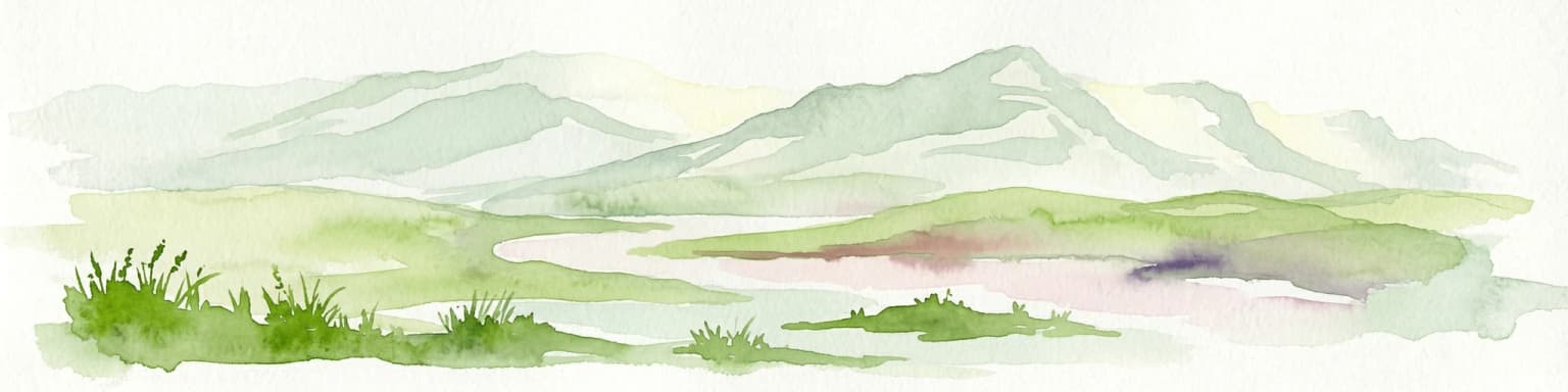
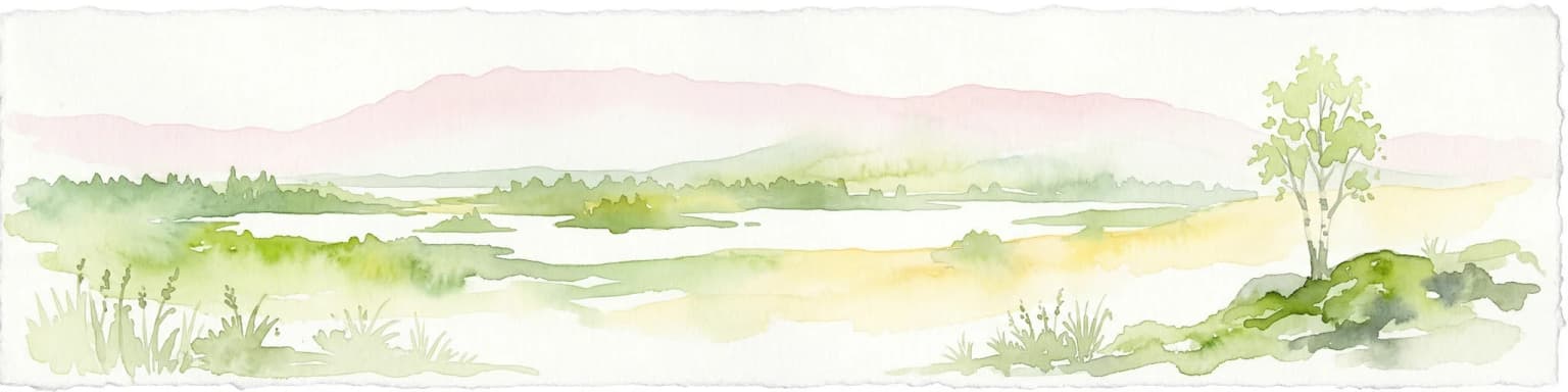
Vadvetjåkka National Park landscape and geographic character

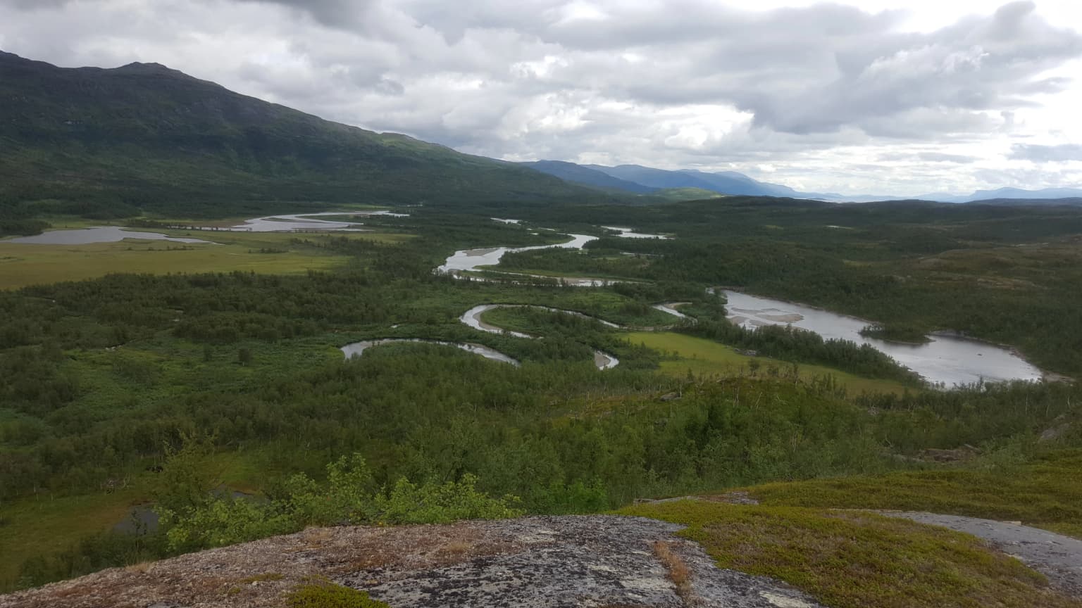
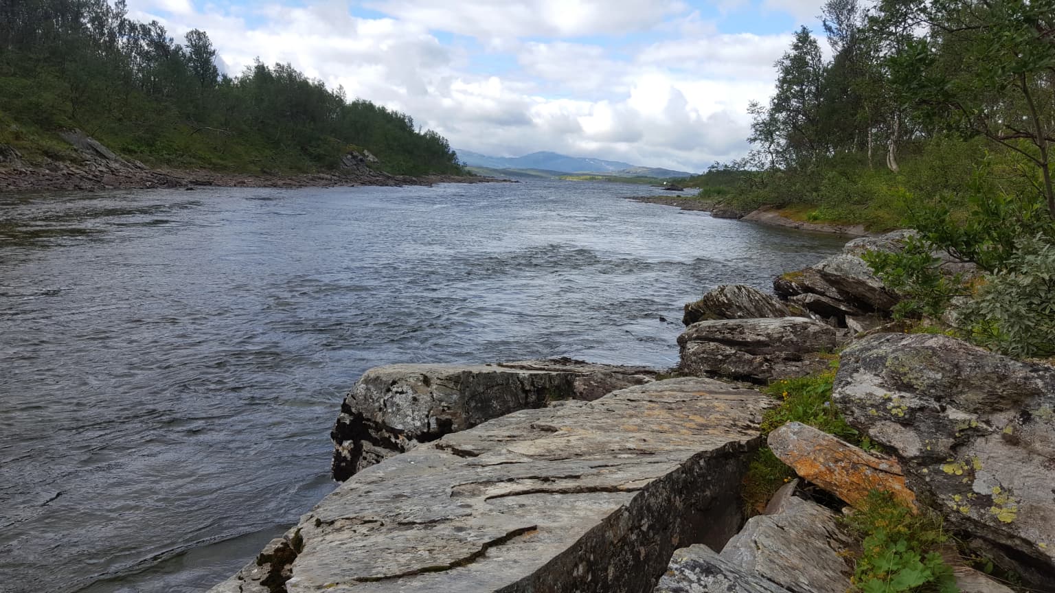
The physical landscape of Vadvetjåkka National Park is defined by a prominent mountain ridge surrounded by steep-sided valleys and terminating in a delta system at its southern edge. The Vadvetjåkka ridge rises to 1,248 meters above sea level, making it one of the lower mountain peaks in the region, yet its proximity to the Atlantic Ocean creates conditions that support glaciers on its slopes—an unusual occurrence at such low elevations in Scandinavian mountain environments. The bedrock consists primarily of limestone, which weathers differently than the harder granites found in neighboring mountain ranges. This limestone geology has produced an extensive system of karst caves, including some of the deepest in Sweden reaching depths of 155 meters. The valleys flanking the ridge contain wetland areas and streams that feed into the delta system at the southern end of the park. The overall terrain combines exposed alpine ridges, vegetated valley floors, glacial features, and the unique karst topography characteristic of limestone mountain regions.

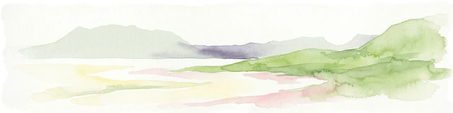
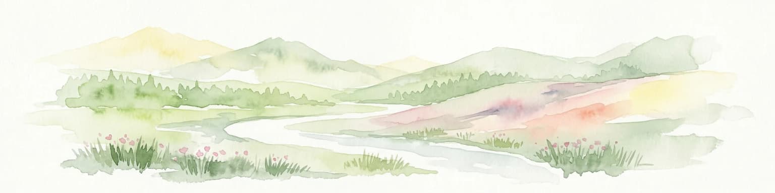
Vadvetjåkka National Park ecosystems, habitats, and plant life

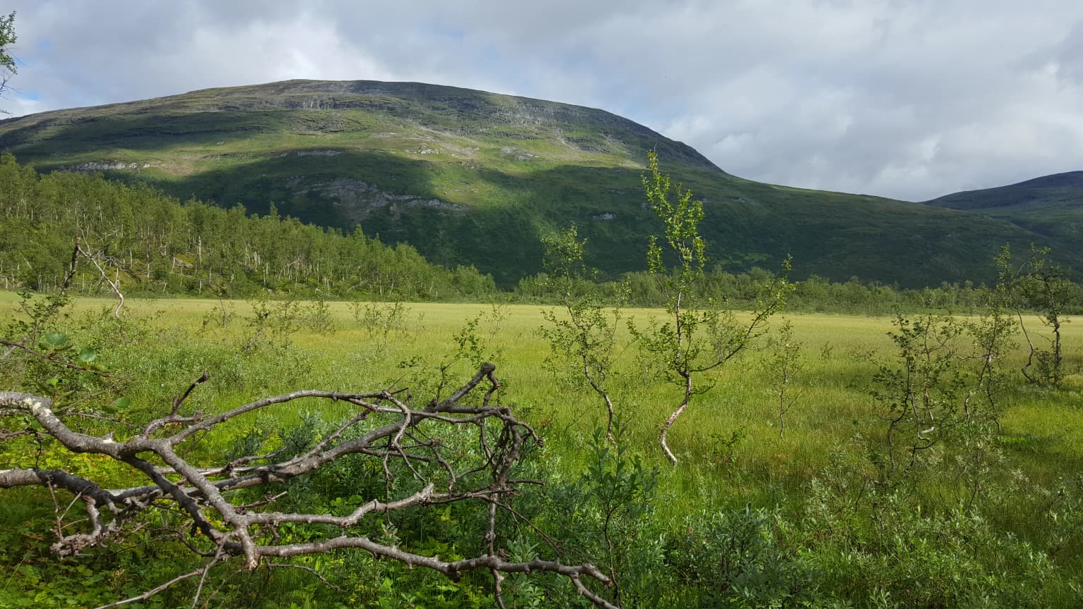
The ecological character of Vadvetjåkka reflects the harsh but biologically distinctive conditions of far-northern alpine environments. Mountain birch forest (fjällbjörkskog) occupies the lower valley positions, forming the treeline vegetation in this Arctic-alpine transition zone. Above the birch forest, alpine heath and open terrain (kalfjäll) extends up the slopes to the ridge summit. Wetlands and marsh areas are distributed throughout the valley floors, particularly in the southern delta region where water accumulates and creates productive wetland habitats. The maritime climate brings high precipitation and persistent cloud cover, creating conditions that support both the unusual low-altitude glaciers and the moisture-dependent vegetation communities. This combination of mountain birch forest, alpine heath, wetlands, and glacial features creates a complex ecological mosaic that characterizes the high-northern mountain environment of the park.

Vadvetjåkka National Park wildlife and species highlights

The wildlife of Vadvetjåkka National Park reflects the Arctic-alpine character of northernmost Sweden. Mountain birch forest provides habitat for species adapted to northern woodland edges and open birch woodland, while the alpine heath and open terrain support species associated with exposed high-elevation environments. The wetlands and delta areas attract waterfowl and shorebird species during the brief summer breeding season. Reindeer from the Talma sameby have historically utilized the area as part of their traditional grazing patterns, maintaining a connection between the landscape and Sami pastoral culture. The remote and undeveloped character of the park provides conditions relatively undisturbed by human activity, supporting wildlife populations in a near-natural state across the mountain and wetland habitats.

Vadvetjåkka National Park conservation status and protection priorities

Vadvetjåkka National Park serves as a protected area for one of Sweden's most distinctive high-northern environments—a maritime-influenced Arctic mountain landscape that differs significantly from typical subarctic alpine ecosystems. The park preserves not only the surface terrain but also the geological features, including the karst cave systems that represent significant geological heritage. The presence of glaciers at unusually low altitudes demonstrates the influence of maritime climate on mountain environments and provides opportunities to study glacier dynamics in a relatively accessible location. As Sweden's northernmost national park, Vadvetjåkka represents the endpoint of Sweden's north-south gradient of alpine environments and serves as a reference site for understanding high-arctic ecological processes in the Scandinavian mountain range. The protection of this area ensures the preservation of a landscape that would otherwise be vulnerable to development pressures in a region increasingly affected by resource extraction and infrastructure expansion.

Vadvetjåkka National Park cultural meaning and human context

Vadvetjåkka National Park lies within the traditional territory of Talma sameby, one of the Sami villages (sameby) that maintain reindeer husbandry as a core cultural practice in Swedish Lapland. The Sami name for the mountain—Vádvečohkka—reflects the long-standing connection between the landscape and indigenous cultural heritage. While the park itself is managed as a strict nature reserve with limited public access, the surrounding landscape has supported traditional Sami land uses including reindeer herding across seasons. The park's establishment in 1920 occurred during a period when Swedish authorities were beginning to formalize protection of natural areas, a process that sometimes occurred without full recognition of indigenous rights and traditional land use patterns. The contemporary management of the park balances conservation objectives with recognition of the region's cultural significance, though the strict protection status limits traditional uses within the protected core area.

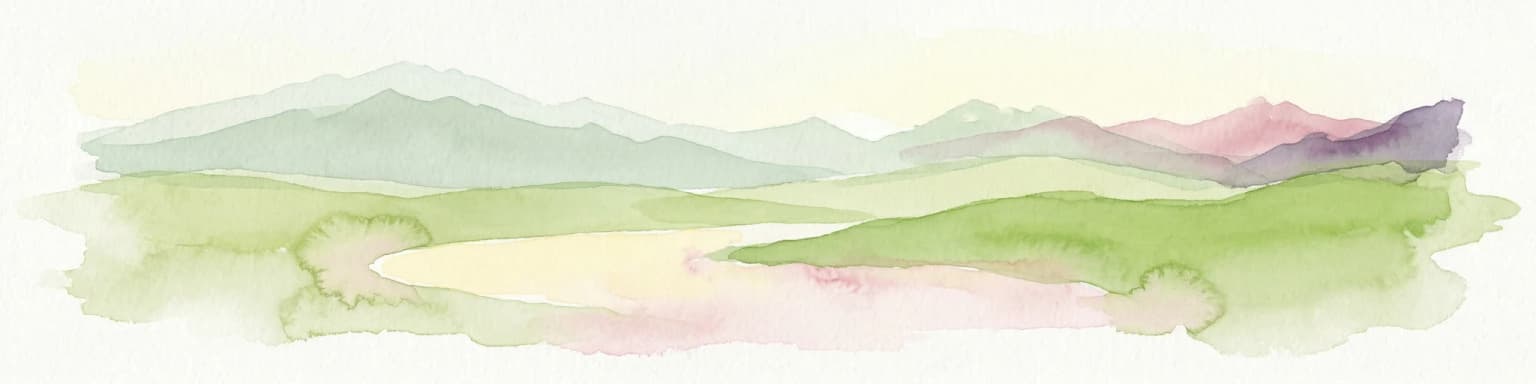
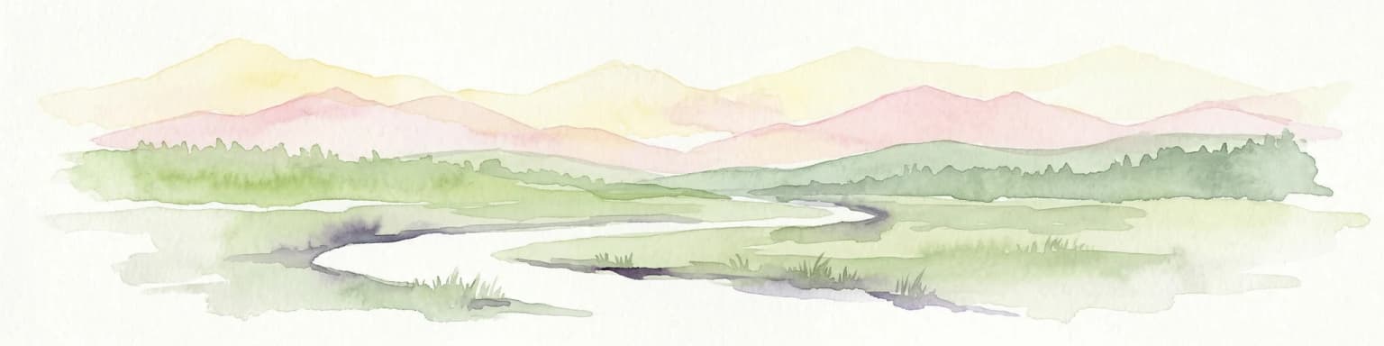
Top sights and standout views in Vadvetjåkka National Park

Vadvetjåkka National Park's significance stems from its position as Sweden's northernmost protected mountain landscape, preserving an Arctic-alpine environment shaped by maritime climate influences. The park contains glaciers at remarkably low altitudes—an unusual phenomenon for Scandinavian mountains—created by the proximity to the Atlantic Ocean and persistent cloud cover. The limestone bedrock has produced extensive karst cave systems, including some of Sweden's deepest caves reaching 155 meters. The remote location, requiring a substantial hike to access, has helped maintain the wilderness character of this northernmost park. The combination of mountain birch forest, wetlands, glaciers, and karst topography creates a distinctive ecological character that distinguishes Vadvetjåkka from other Swedish national parks.

Best time to visit Vadvetjåkka National Park

The optimal season for visiting Vadvetjåkka National Park occurs during the brief Arctic summer, typically from late June through August, when snow has melted from the access trail and temperatures are moderate enough for hiking. The long summer days of the far north provide extended hours for exploration, though the park's maritime climate means that cloudy conditions and precipitation are common regardless of season. Winter access is extremely challenging due to the severe Arctic conditions, extreme darkness, and the lack of facilities within the park. The access trail from the E10 road at Kopparåsen is only feasible during the snow-free period, and visitors must be prepared for self-sufficient wilderness travel with no facilities or marked trails within the protected area itself.

Park location guide

Geography guide, regional context, and park location map for Vadvetjåkka National Park

Vadvetjåkka National Park park geography, regions, and map view in Sweden
Understand where Vadvetjåkka National Park sits in Sweden through a broader geographic reading of the surrounding landscape, nearby location context, and its mapped position within the national park landscape.

How Vadvetjåkka National Park fits into Sweden

Sweden, formally the Kingdom of Sweden, is a highly developed Nordic country on the Scandinavian Peninsula in Northern Europe. With a population of 10.6 million and an area of 450,295 km², it is the largest Nordic country by both area and population. Sweden is a constitutional monarchy with Stockholm as its capital and largest city, known for its advanced economy, social welfare system, and membership in the European Union and NATO.

Wider geography shaping Vadvetjåkka National Park in Sweden

Sweden occupies the eastern portion of the Scandinavian Peninsula in Northern Europe. It borders Norway to the west and north, Finland to the east, and shares a maritime border with Denmark to the southwest across the Øresund. The country has an extensive coastline along the Baltic Sea and Gulf of Bothnia, dotted with thousands of islands. The terrain varies from mountainous regions in the northwest to low-lying coastal areas and inland lakes in the south and central parts.

Map view of Vadvetjåkka National Park

Use this park location map to pinpoint Vadvetjåkka National Park in Sweden, understand its exact geographic position, and read its mapped placement within the surrounding landscape more clearly.

Pigeon | © OpenStreetMap contributors

Location context for Vadvetjåkka National Park

Kiruna MunicipalityNorrbotten County
Park atlas

Map the protected landscapes of Swedish Lapland, comparing mountain terrain, glaciers, and karst systems.

Compare National Parks and Protected Areas Near Vadvetjåkka National Park, Arctic Lapland
Discover other national parks and protected areas in the high-arctic mountain region surrounding Vadvetjåkka National Park, comparing glacial terrain, extensive wetlands, and limestone karst landscapes. Broaden your understanding of Sweden's northern protected areas, mapping their geographic spread across Lapland and comparing their distinct conservation landscapes in the Arctic region.
National parkTroms

Rohkunborri National Park: Northern Norway's Dramatic Protected Landscape

Explore its mapped terrain, canyon, and alpine ecosystems.

Rohkunborri National Park offers a profound encounter with northern Norway's wild geography. As a designated national park in Troms county, it features the iconic Sørdalen canyon, a dominant geological feature that shapes its diverse terrain. The park's landscape encompasses a rich ecological gradient, from boreal forests to alpine tundra, supporting a variety of wildlife. This protected area is crucial for understanding Scandinavian mountain ecosystems and transboundary conservation efforts, providing rich content for atlas-based exploration of its mapped boundaries and natural context.

Area
571 km²
Established
2011
IUCN
II
Relief
Mountain
Watercolor painting showing green hills, a body of water, and distant mountains
National parkNorrbotten County

Abisko National Park

Subarctic national park with unique landscapes

Abisko National Park in Swedish Lapland offers a glimpse into dramatic subarctic terrain. Explore its protected boundaries, river canyons, and alpine tundra through structured geographic data.

Area
77 km²
Established
1909
IUCN
II
Visitors
50K annual
National parkTroms

Øvre Dividal National Park: Arctic Alpine Protected Landscape in Troms, Norway

Mapped boundaries and unique ecological terrain of a pristine wilderness.

Øvre Dividal National Park stands as a premier example of Arctic alpine wilderness, meticulously preserved as a national park in Norway's Troms region. This entry facilitates a detailed exploration of its mapped protected boundaries and the distinct elevational ecological zones, from boreal forests to high-altitude tundra. Gain geographic context for this vital landscape, which supports diverse habitats and contributes to Scandinavia's largest contiguous wilderness areas.

Area
750 km²
Established
1971
IUCN
II
Relief
Mountain
National parkSenja

Ånderdalen National Park: Ancient Coastal Pine Forest and Glacial Valley Landscape

Norway's protected area within the Senja region.

Delve into the detailed protected landscape of Ånderdalen National Park, a national park located on Norway's Senja island. This entry offers a focused atlas exploration of its unique geographic features, including its celebrated ancient coastal pine forest, dramatic glacial valleys carved from granite, and its significance as a representative example of the northern Norwegian coastal mountain terrain. Understand the mapped boundaries and the natural context of this vital conservation area.

Area
134 km²
Established
1970
IUCN
II
Relief
Mixed relief
Watercolor illustration showing mountains, a lake, and rolling hills
National parkNordland

Møysalen National Park: Coastal Alpine Protected Landscape in Nordland, Norway

Mapped boundaries, dramatic terrain, and coastal ecosystems.

Møysalen National Park offers a compelling study in coastal alpine geography, situated within Nordland county, Norway. This protected area is renowned for its dramatic mountain scenery where peaks plunge directly into the sea and deep fjords. The park's 51 square kilometres encompass a unique ecological transition from alpine summits to sea level, featuring jagged peaks, sheltered valleys with birch forests, and coastal wetlands. Explore the mapped landscape of this distinctive Norwegian national park and understand its place in regional geography and protected land networks.

Area
51 km²
Established
2003
IUCN
II
Relief
Mountain
Watercolor painting of a landscape featuring a body of water, green fields, a single tree, and distant mountains under a light sky
National parkNorrbotten County

Stora Sjöfallet National Park: Protected Arctic Landscape in Norrbotten County

Explore mapped terrain and regional geography.

Stora Sjöfallet National Park stands as a significant protected landscape within Norrbotten County, Sweden, renowned for its striking Arctic mountain scenery centered on the Áhkká massif. As a key component of the Laponian Area UNESCO World Heritage Site, its vast expanse of over 1,278 square kilometers offers critical insights into subarctic ecosystems, glacial terrain, and the mapped boundaries of a protected natural territory. Discover the unique geographic features and ecological value of this expansive national park.

Area
1,278 km²
Established
1909
IUCN
II
Relief
Mountain
Watercolor illustration of a mountainous landscape with a river, grass, and distant hills
National parkNorrbotten County

Sarek National Park: Mapping Sweden's Rugged Alpine Wilderness and Glacial Terrain

Explore the mapped geography of Norrbotten County's largest alpine national park.

Sarek National Park represents the heart of Sweden's alpine wilderness, a protected landscape defined by its towering mountain peaks, expansive glaciers, and deeply carved glacial valleys. Situated in Norrbotten County, the park's geography is characterized by a remote and rugged terrain, making it a prime destination for understanding high-altitude natural environments through mapped context. Discover the unique contours of this iconic national park and its place within the broader regional geography of Swedish Lapland.

Area
1,970 km²
Established
1909
IUCN
II
Relief
Mountain
Watercolor illustration of a winding river through a green landscape with distant mountains
National parkNorrbotten County

Padjelanta National Park: Sweden's Largest National Park Protected Plateau Landscape

Explore subarctic terrain, large lakes, and Laponia World Heritage Site geography.

Padjelanta National Park, situated in Norrbotten County, is Sweden's largest national park. It features a distinctive subarctic plateau ecosystem centered around two vast lakes, offering a starkly open landscape compared to adjacent alpine areas. This protected area is renowned for its exceptional botanical and lichen diversity, a vital part of the Laponia World Heritage Site. Users can explore its mapped geography, unique terrain, and the cultural significance of this expansive arctic wilderness.

Area
1,984 km²
Established
1963
IUCN
II
Relief
Highland

Common questions about visiting, size, designation, and location context for Vadvetjåkka National Park

Vadvetjåkka National Park FAQs for park facts, access, geography, and protected area context
Find quick answers about Vadvetjåkka National Park, including protected-area facts, park geography, trail and visitor context, and how the park fits into its surrounding country and regional landscape.
MoriAtlas Explorer

Continue Your Protected Areas Search Across the Global Atlas

Deepen your exploration by continuing the structured search for national parks and protected areas worldwide. Utilize the comprehensive filtering capabilities to compare different conservation landscapes and refine your understanding of global park geography. Discover more about the distribution and characteristics of protected natural areas.

Global natural geography