
Why Skuleskogen National Park stands out
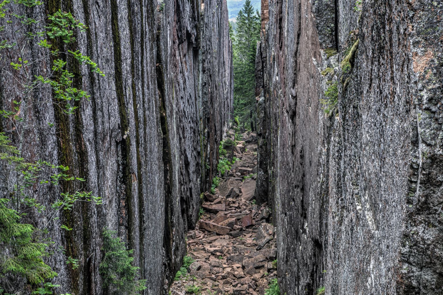
Skuleskogen is best known for its dramatic post-glacial rebound landscape and the spectacular crevasse of Slåttdalskrevan, a 40-meter-deep fissure carved into granite and diabase bedrock. The park sits at the heart of the High Coast, one of the world's finest natural laboratories for studying isostatic land uplift following the last Ice Age. The park's symbol is the lichen Dolichousnea longissima (formerly Usnea longissima), an endangered species that inspired the park's protection. The combination of steep rocky peaks rising directly from the sea, ancient Bronze Age burial cairns, and recovered old-growth forest creates a distinctive coastal wilderness that is uniquely Scandinavian.
Skuleskogen National Park history and protected-area timeline
Human activity in the Skuleskogen area dates to the Bronze Age, when funerary cairns were constructed along the ancient coastline—28 such cairns remain visible within the park today, positioned 35 to 40 meters above current sea level. The forest served as a traditional summer pasture for centuries, with four seasonal settlements including Näskebodarna, which remained active until World War II. The area functioned as a travel corridor, with the Kustlandsvägen trail passing through the forest as a main route northward through Sweden. The Sami people used the area for reindeer winter pasture until 1919. Intensive logging began in the mid-19th century, with sawmills and steam mills established near the forest, but exploitation ceased around the turn of the 20th century allowing regeneration. Environmental surveys in the 1960s identified the area's exceptional natural value, leading to protected status as a nature reserve in 1979 and full national park designation in 1984. The park was included in the Natura 2000 network in 1996 and became part of the UNESCO World Heritage High Coast site in 2000, with further expansion in 2009.
Skuleskogen National Park landscape and geographic character
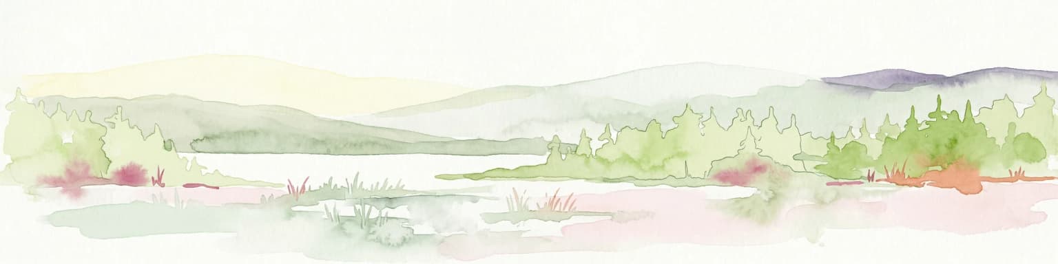
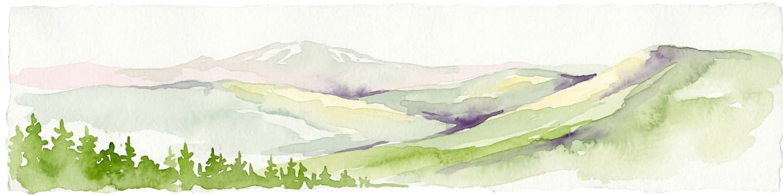
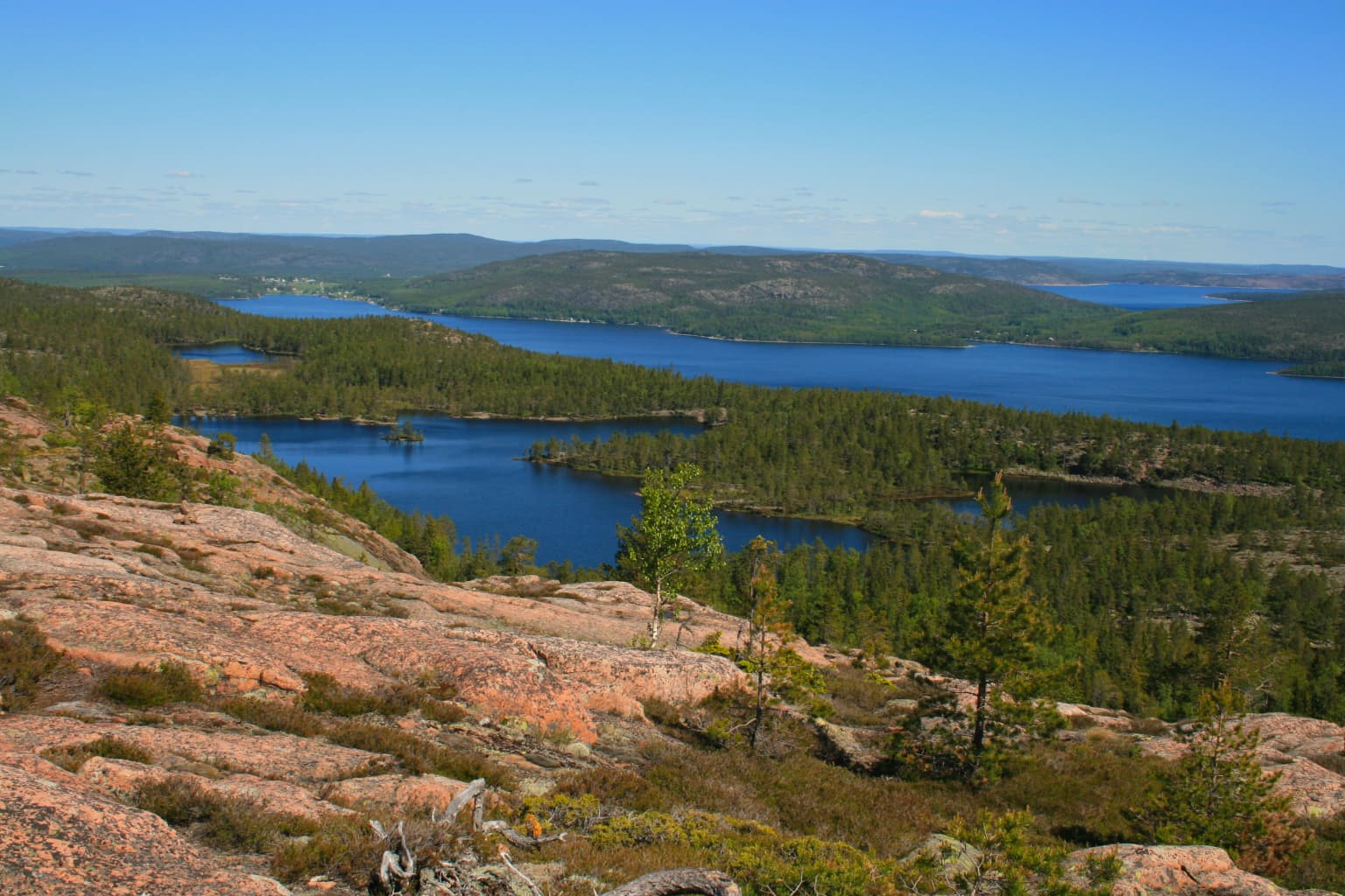
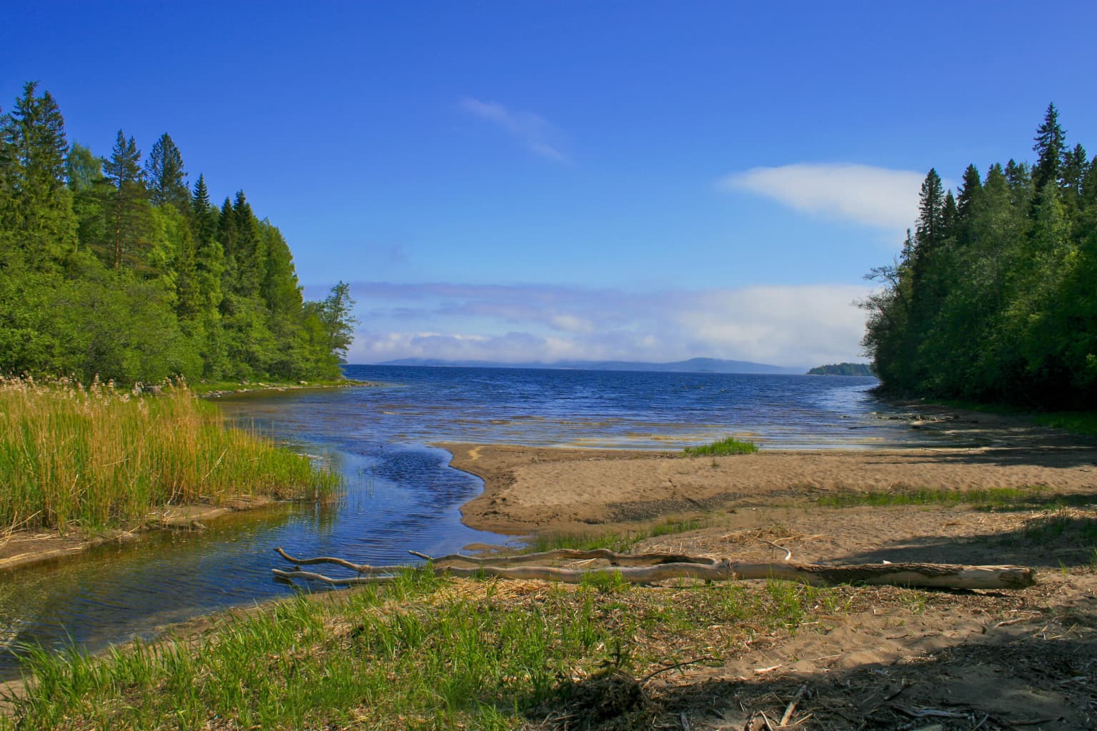
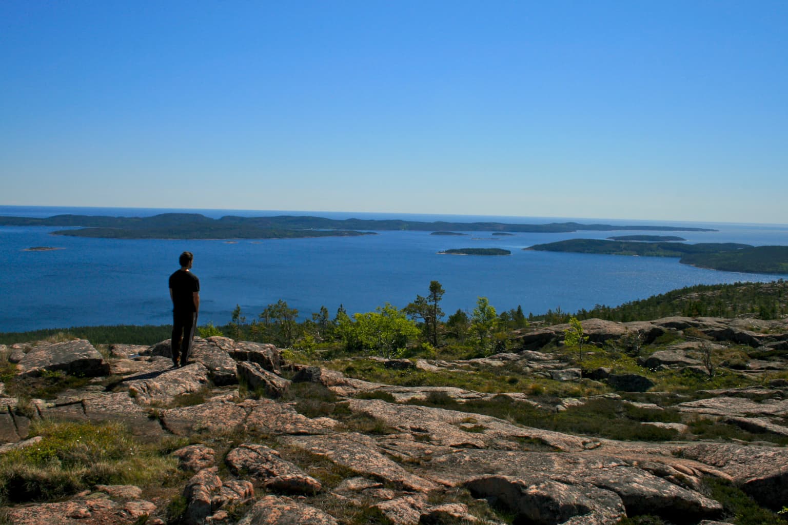
The landscape of Skuleskogen is defined by its position in the High Coast, a region of exceptional topographic roughness along the Baltic Sea. The terrain consists of steep rocky ridges and peaks separated by deep fracture valleys and crevasses, with the highest point Slåttdalsberget reaching 280 meters above sea level. The granite bedrock of the Nordingrå massif, approximately 1.5 billion years old, creates a distinctive red-toned landscape that erodes into dramatic rock formations. The park features several notable crevasses including Slåttdalskrevan—40 meters deep, 200 meters long, and 8 meters wide—and Trollporten, where a fallen rock rests across a narrow passage creating a natural arch. The coastline is rugged and rocky, with small islands, bays, and the emerging peninsulas of Tärnättholmarna demonstrating the ongoing post-glacial rebound. About 36 percent of the park consists of bare rock with sparse vegetation, while stream-cut valleys and wetlands occupy lower areas.
Skuleskogen National Park ecosystems, habitats, and plant life
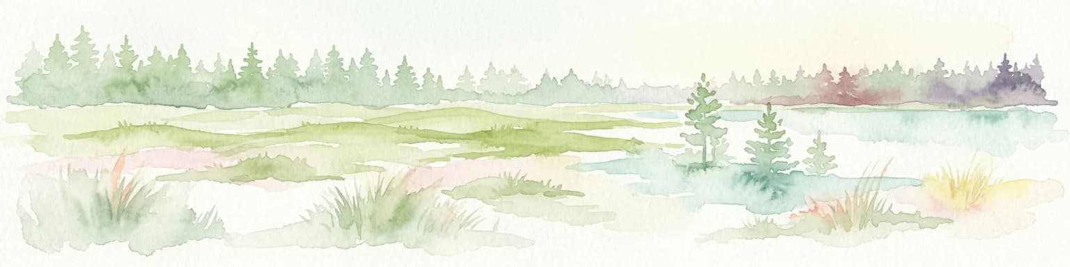
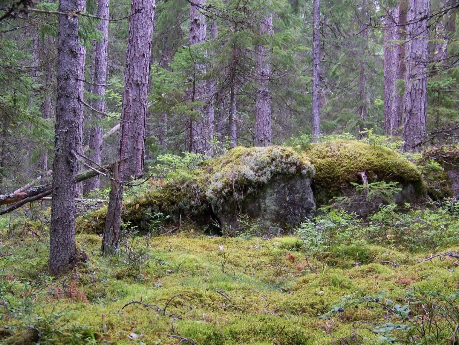
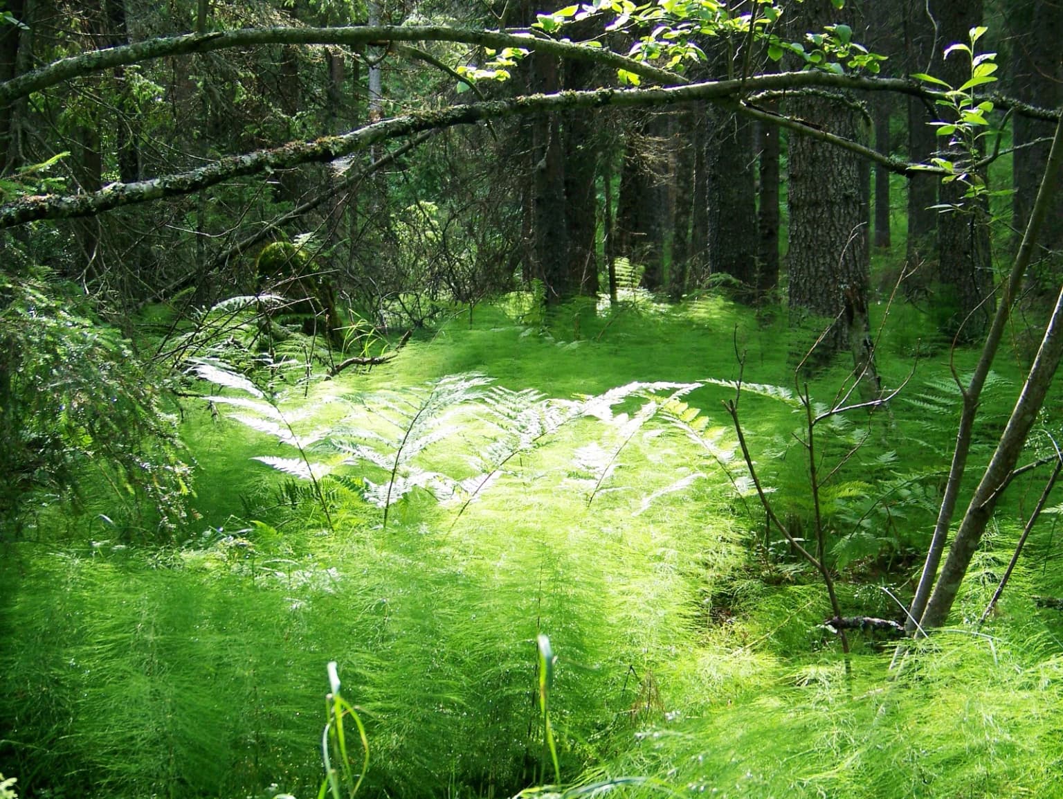
Skuleskogen lies at the northern limit for several deciduous tree species, creating unusual botanical conditions. The park supports a boreal coniferous forest typical of the Scandinavian and Russian taiga, dominated by Norway spruce with Scots pine on rockier ground. However, specific microclimates created by south-facing cliffs called Sydväxtberg support southern plant species including little-leaf linden, common hazel, guelder-rose, and Norway maple—relicts of a warmer era that survive in these favorable conditions. Deciduous forest covers only about 1.4 percent of the park, with coniferous forest dominating. The forest has been recovering for over a century since intensive logging ceased, developing characteristics of old-growth forest with some pines reaching 500 years of age. Wetlands, including fens covering 125 hectares, add ecological diversity, while the park's position supports specialized lichen communities including the endangered Dolichousnea longissima, the park's official symbol.
Skuleskogen National Park wildlife and species highlights
The park supports characteristic northern Swedish mammal species including Eurasian lynx and brown bear, both considered endangered in Sweden. Red fox, European badger, European pine marten, moose, Eurasian beaver, grey seal, and muskrat are also present. The lynx population in the region faces pressure from habitat fragmentation caused by roads including European route E4, as these wide-ranging predators require territories extending well beyond the park boundaries. Bird diversity is notable, with endangered species including Siberian jay, three-toed woodpecker, red-throated loon, European honey buzzard, rough-legged buzzard, greenish warbler, red-breasted flycatcher, red-backed shrike, spotted nutcracker, common rosefinch, and ortolan bunting. The park also supports significant populations of grey-headed woodpecker, common crane, grey heron, Eurasian wren, Eurasian wryneck, and hazel grouse. Lakes and streams contain European perch and brown trout, while the Baltic Sea supports Atlantic herring, northern pike, and trout.
Skuleskogen National Park conservation status and protection priorities
Skuleskogen was protected as a national park primarily to preserve its outstanding geological and ecological values within the High Coast World Heritage Site. The park exemplifies post-glacial rebound processes and hosts unique lichen communities including Dolichousnea longissima, the discovery of which prompted the 1991 park expansion. The protected area is managed through a zoned system: 65 percent as Zone I low-activity preservation areas, the eastern third as Zone II for tourism infrastructure, and 150 hectares as Zone III at park entrances. The High Coast's inclusion on the UNESCO World Heritage List in 2000, later expanded with the Finnish Kvarken archipelago in 2006, recognizes this as one of Earth's premier locations for observing isostatic land uplift following glaciation. The forest's recovery from 19th-century logging demonstrates natural regeneration potential, though species like lynx require landscape-scale conservation beyond park boundaries.
Skuleskogen National Park cultural meaning and human context
The Forest of Skule has deep cultural significance as a traditional boundary between regions and as a setting in Swedish literature. The name Skuleskogen derives from the forest itself, with toponymic debate about whether it originated from Skuleberget mountain or the village of Skule, though both may derive from an older, possibly禁忌 name. Legend associates the area with brigands who used the cave Skulegrottan as a hideout, and the novelist Kerstin Ekman immortalized these stories in her book "Rövarna i Skuleskogen" (The Brigands of the Forest of Skule). The park contains Bronze Age burial monuments reflecting ancient maritime navigation and settlement patterns along what was once the coastline. The forest historically served as common pasture land under royal oversight, with seasonal transhumance practices continuing into the 20th century.
Top sights and standout views in Skuleskogen National Park
Skuleskogen offers visitors access to one of the High Coast's most dramatic landscapes through approximately 40 kilometers of hiking trails. The Slåttdalskrevan crevasse and views from Slåttdalsberget over the archipelago rank as the park's most spectacular attractions. The Höga Kustenleden long-distance trail traverses the park, and five backcountry shelters allow overnight stays. Bronze Age funerary cairns provide tangible connections to prehistoric times, while the recovering old-growth forest showcases natural regeneration. The park receives approximately 20,000 visitors annually who come to experience this dynamic landscape where geological processes remain visibly active and where the land continues to rise from the sea.
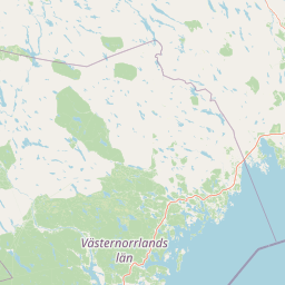
Best time to visit Skuleskogen National Park
The subarctic climate offers distinct seasonal experiences. Summer provides the best hiking conditions with long daylight hours and accessible trails, though early summer can be cool due to maritime influence. Autumn brings milder temperatures and colorful forest scenes. Winter transforms the landscape with snow cover and offers skiing opportunities, though the park's coastal position creates variable snow conditions. Spring is the driest season and can experience drought stress on vegetation. The park is accessible year-round, with the main north entrance near European route E4 providing convenient access.