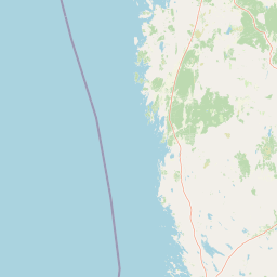
National parkFinland

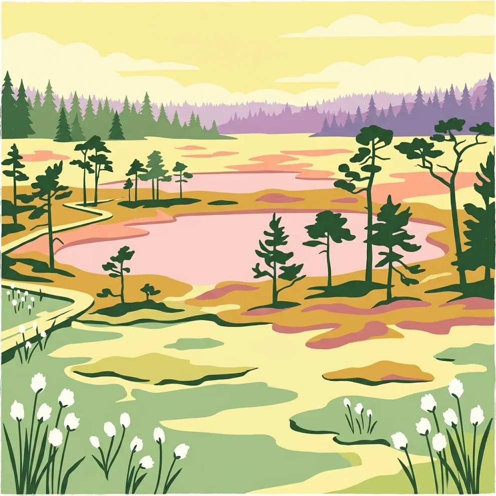
Lauhanvuori National Park: Finland's Protected Landscape and Geographic Identity
Mapped protected area within Finland's regional geography.
Delve into the protected landscape of Lauhanvuori National Park, a key national park in Finland. This atlas-focused entry details its geographic setting and mapped boundaries, offering structured insight into its protected area status and natural terrain. Understand how Lauhanvuori National Park contributes to Finland's broader conservation geography and landscape context.
- Area
- 53 km²
- Established
- 1982
- IUCN
- II
- Visitors
- 21.7K annual