Mori Atlas logo
National parkSharr Mountains National Park

Discover the dramatic glacial terrain, old-growth forests, and rich biodiversity within this Balkan national park.

Sharr Mountains National Park: Kosovo's Premier Alpine Protected Landscape for Atlas Exploration

Sharr Mountains National Park represents the rugged heart of Kosovo's alpine geography, offering a protected landscape defined by jagged peaks, steep glacial valleys, and vital watershed areas. This national park, situated in the southwestern Šar Mountains range, showcases dramatic topography shaped by ancient glacial activity, featuring U-shaped valleys, cirques, and serene glacial lakes. Its protected status safeguards extensive old-growth forests and diverse ecosystems, making it a key locus for understanding the natural terrain and protected area context of the Balkan region.

Alpine MountainsNational ParkProtected AreaBalkansOld-Growth ForestWildlife Conservation
Stylized depiction of mountainous terrain with forests and rolling hills under a soft sky

Sharr Mountains National Park

National park

Park overview

Structured park overview, official facts, and landscape profile for Sharr Mountains National Park

Sharr Mountains National Park park facts, protected area profile, and essential visitor context
Review the core facts for Sharr Mountains National Park, including designation, size, terrain, visitor scale, habitats, and operating context in one park-focused overview.

About Sharr Mountains National Park

Sharr Mountains National Park was established in 2013 as part of Kosovo's efforts to create a formal protected area network. The park covers a substantial portion of the Šar Mountains in western Kosovo, a range that forms a natural frontier between the Balkans and extends across three countries. The terrain is characterized by steep, V-shaped valleys, sharp ridgelines, and glacial cirques that give the landscape its distinctive alpine character. The park provides protection to watersheds that feed several major river systems, making it important for downstream water resources. Visitors to the park can access it primarily through the Brezovica area, which offers a base for mountain exploration and skiing in winter months. The park's establishment reflected growing recognition of the Šar Mountains' ecological significance and the need to balance conservation with sustainable development pressures in the region.

Quick facts and research context for Sharr Mountains National Park

Sharr Mountains National Park occupies the western and southwestern mountainous regions of Kosovo, protecting the core of the Šar Mountains range. The area features elevations ranging from around 600 meters in the lower valleys to over 2,500 meters at the highest peaks. The park encompasses both forested slopes and alpine zones, with the Brezovica area serving as a popular access point. The region is known for its glacial lakes, rapid mountain streams, and karst formations.

Park context

Deeper park guide and search-rich context for Sharr Mountains National Park

Sharr Mountains National Park history, landscape, wildlife, and travel context
Explore Sharr Mountains National Park through its history, landscape character, ecosystems, wildlife, conservation priorities, cultural context, and seasonal travel timing in a structured park guide built for atlas discovery and search intent.

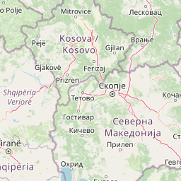
Why Sharr Mountains National Park stands out

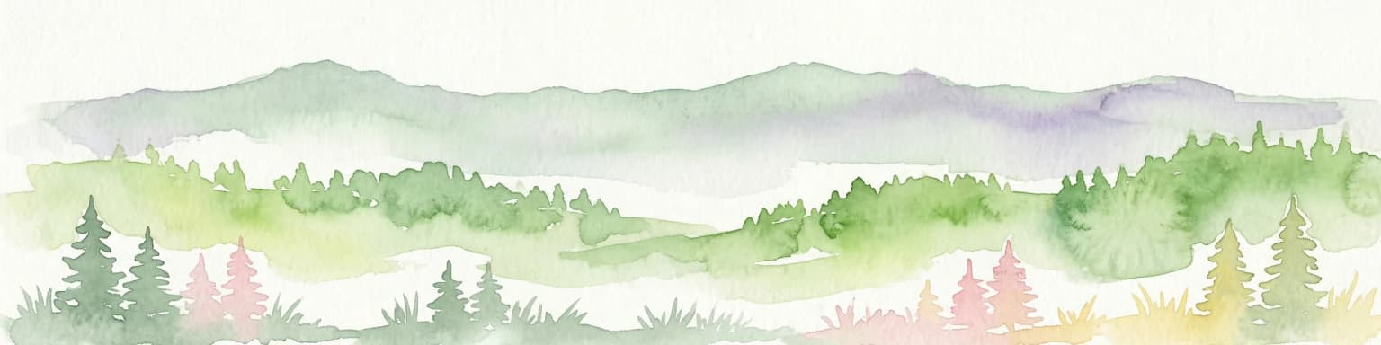
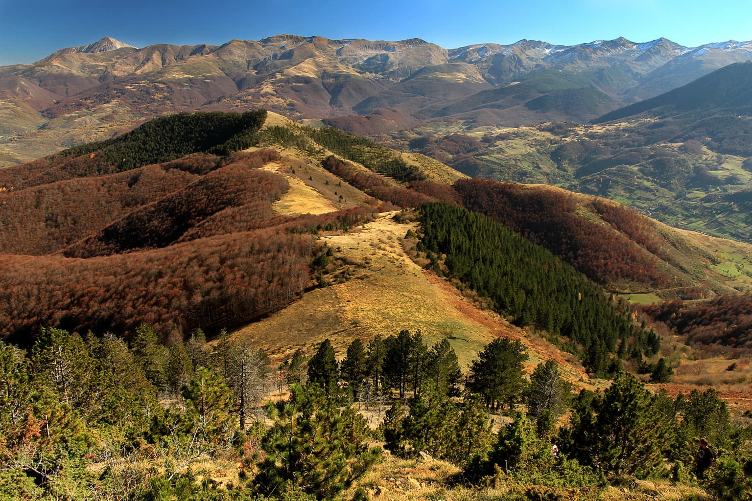
Sharr Mountains National Park is best known for its dramatic alpine scenery, with jagged peaks and steep glacial valleys creating one of Kosovo's most spectacular mountain landscapes. The park protects extensive old-growth forests of pine, fir, and beech, as well as subalpine and alpine meadows that support diverse flora. The area is also notable for its wildlife, including populations of brown bear, wolf, and chamois, making it one of Kosovo's most important areas for large mammal conservation.

Wide landscape of mountain ridges, forests, and valleys under a clear blue sky in Sharr Mountains National Park.
Panoramic view of Sharr Mountains National Park from Pashallore mountain.

Sharr Mountains National Park history and protected-area timeline

Sharr Mountains National Park was officially designated in 2013, representing Kosovo's commitment to preserving its highland natural heritage. Prior to formal protection, the Šar Mountains had long been recognized for their ecological and landscape values, though historical resource exploitation had impacted some areas. The park's creation followed a period of increasing environmental awareness in Kosovo and the development of national environmental legislation. The designation built upon earlier conservation efforts in the region and aimed to provide formal protection for one of the country's most significant mountain ecosystems.

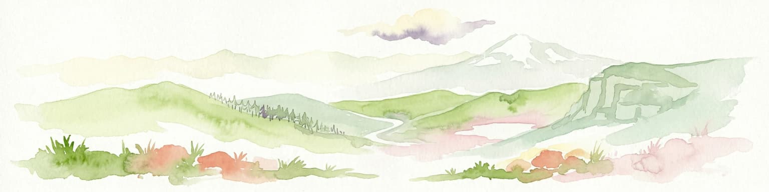
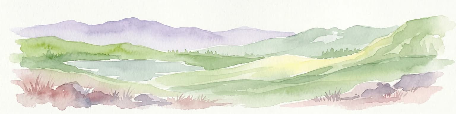
Sharr Mountains National Park landscape and geographic character

The landscape of Sharr Mountains National Park is defined by its dramatic alpine topography. The Šar Mountains rise steeply from the surrounding valleys, with peaks reaching elevations that create a harsh yet beautiful environment. The terrain shows clear evidence of glacial activity, with U-shaped valleys, cirques, and moraines shaping the high mountain scenery. Rocky ridgelines alternate with grass-covered slopes and forested zones in the lower elevations. The park contains several glacial lakes, known as 'eyes of the mountain,' which add to the scenic diversity. Streams descend rapidly through the valleys, carving waterfalls and cascades as they descend to lower elevations.

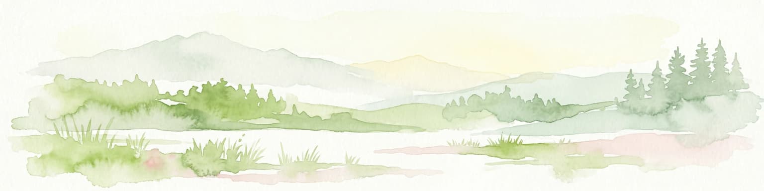
Sharr Mountains National Park ecosystems, habitats, and plant life

The ecological diversity of Sharr Mountains National Park reflects its range of elevations and varied topography. The park encompasses several distinct vegetation zones, from deciduous and mixed forests in the lower valleys through coniferous forests to subalpine shrubland and alpine meadows at the highest elevations. The forests include significant stands of beech, oak, pine, and fir, some of which represent relatively intact old-growth examples. The alpine zone features characteristic high-elevation grasslands and rocky terrain adapted to harsh conditions. The combination of diverse habitats supports a range of plant species, including several endemic varieties found only in the Balkan mountains.

Sharr Mountains National Park wildlife and species highlights

Sharr Mountains National Park provides important habitat for large mammals in the Balkans. The park supports populations of brown bear and wolf, two species that require extensive territories and intact ecosystems. Chamois, the agile mountain goat-antelope, inhabits the rocky terrain above the treeline. The diverse habitats also support smaller mammals, bird species, and reptiles. The forest and alpine environments create conditions suitable for species adapted to both wooded and open terrain. The park's importance for wildlife conservation reflects its relatively intact ecosystems and the connectivity it provides to surrounding mountain areas.

Sharr Mountains National Park conservation status and protection priorities

Sharr Mountains National Park represents a key component of Kosovo's protected area system, providing formal protection to one of the country's most significant mountain ecosystems. The park contributes to biodiversity conservation by protecting habitats for species including brown bear and wolf, both of which are of conservation concern in the region. The watershed protection function of the forested catchments adds to the park's conservation value. As a transboundary mountain range, the Šar Mountains also contribute to regional conservation networks, though management challenges include addressing historical impacts and balancing conservation with visitor access and local resource use.

Sharr Mountains National Park cultural meaning and human context

The Šar Mountains have been inhabited for centuries by communities practicing pastoralism and mountain agriculture. Traditional villages in the valleys and summer settlements in the high meadows reflect the historical relationship between local communities and the mountain environment. The area is part of a region with rich cultural traditions tied to the seasonal movement of people and livestock between valleys and alpine pastures. These traditional practices have shaped the landscape over generations and remain part of the region's cultural identity.

Top sights and standout views in Sharr Mountains National Park

The dramatic alpine peaks and glacial valleys of the Šar Mountains create one of Kosovo's most impressive mountain landscapes. Protected old-growth forests, alpine meadows with diverse flora, and populations of brown bear and wolf make the park important for biodiversity. The glacial lakes, mountain streams, and scenic ridgelines provide outstanding natural beauty. The park offers opportunities for hiking, mountain exploration, and winter sports, particularly from the Brezovica access area.

Best time to visit Sharr Mountains National Park

The summer months of June through September offer the most reliable access to the park's hiking trails and mountain areas, with warm temperatures in the valleys and wildflower displays in the alpine meadows. Autumn brings golden foliage to the forests and clear mountain air. Winter transforms the landscape into a skiing destination, though conditions can be challenging. Spring and early summer see snowmelt feeding the streams and waterfalls. The high mountain areas experience significant snow cover during winter, and weather conditions can change rapidly at any time of year.

Park location guide

Geography guide, regional context, and park location map for Sharr Mountains National Park

Sharr Mountains National Park park geography, regions, and map view in Kosovo
Understand where Sharr Mountains National Park sits in Kosovo through a broader geographic reading of the surrounding landscape, nearby location context, and its mapped position within the national park landscape.

How Sharr Mountains National Park fits into Kosovo

Kosovo is a landlocked country in the Balkans region of Southeast Europe. It declared independence in 2008 and is recognized by approximately 110 UN member states, though Serbia continues to claim it as part of its territory. The country has a varied terrain with high plains, rolling hills, and mountains exceeding 2,500 metres in altitude. Its capital and largest city is Pristina.

Wider geography shaping Sharr Mountains National Park in Kosovo

Kosovo is landlocked in the central Balkans, bordered by Albania to the southwest, Montenegro to the west, Serbia to the north and east, and North Macedonia to the southeast. The terrain consists of high plains in the north and east, with rolling hills and mountain ranges in the western and southern regions. Several peaks exceed 2,500 metres in altitude.

Map view of Sharr Mountains National Park

Use this park location map to pinpoint Sharr Mountains National Park in Kosovo, understand its exact geographic position, and read its mapped placement within the surrounding landscape more clearly.

Pigeon | © OpenStreetMap contributors

Visual Exploration of Kosovo's Dramatic Alpine Terrain and Diverse Protected-Area Environments

Sharr Mountains National Park Photos: Explore Alpine Landscapes, Scenery, and Protected Habitats
Browse high-quality photographs of Sharr Mountains National Park to visually understand its dramatic alpine topography, old-growth forests, and unique protected ecosystems. These images offer an essential visual reference, illustrating the park's rugged terrain, glacial features, and the rich biodiversity that defines this significant Balkan conservation landscape.

Wide landscape of mountain ridges, forests, and valleys under a clear blue sky in Sharr Mountains National Park.

Park atlas

Trace the geographic spread of protected alpine landscapes and diverse conservation areas throughout the Šar Mountains range and wider Balkan region.

Compare National Parks and Protected Areas Near Sharr Mountains National Park, Kosovo, and the Balkans
Explore other national parks and protected areas geographically connected to Sharr Mountains National Park, tracing alpine terrain, old-growth forests, and vital conservation zones across the Balkans. This curated selection allows for direct comparison of diverse landscapes and conservation strategies within the broader regional park geography.
Watercolor illustration of mountainous landscape with rolling hills, green fields, and distant snow-capped peaks.
National park

Šar Planina National Park: North Macedonia's Premier Alpine Protected Landscape

Explore glacial lakes, high peaks, and critical Balkan lynx habitat.

Šar Planina National Park is an expansive protected area in North Macedonia, defined by its striking alpine terrain and significant ecological value. The park safeguards a landscape featuring approximately 220 peaks over 2,000 meters and 29 permanent glacial lakes, known as 'Šar's Eyes.' This national park serves as a vital refuge for endangered wildlife, including the Balkan lynx, and offers a unique geographic context for understanding mountain wilderness and protected land distribution in the Balkan region. Its mapped boundaries encompass a rich biodiversity and a landscape shaped by glacial and fluvial processes.

Area
627 km²
Established
2021
IUCN
II
Relief
Mountain
National park

Mavrovo National Park: North Macedonia's Extensive Protected Alpine Terrain and Wildlife

Mapped geography of Alpine peaks, gorges, and unique endemic species.

Mavrovo National Park, North Macedonia's largest protected area, offers a deep dive into a complex Alpine geography. Dominated by the Šar, Korab, and Bistra mountain systems, the park features towering peaks and the dramatic Radika River gorge. This protected landscape is globally significant for its role in conserving the rare Balkan lynx and harbors endemic tertiary relic plant species like Macedonian pine. Explore the mapped boundaries, glacial lakes, and distinct terrain that define this vital conservation area.

Area
730.88 km²
Established
1949
IUCN
II
Relief
Mountain
Watercolor illustration of rolling green hills and distant mountains under a soft sky
National parkDibër County

Lurë-Dejë Mountain National Park: Mapped Protected Landscape and Glacial Lake Geography

Dibër County's alpine protected area with unique glacial lakes.

Delve into the detailed geographic context and mapped protected area of Lurë-Dejë Mountain National Park, an essential natural landscape in Albania's Dibër County. This park is renowned for its rare chain of twelve glacial lakes, situated at high elevations amidst dramatic alpine terrain. Its protected status ensures the preservation of significant old-growth forest ecosystems, including the critically endangered Balkan pine, contributing to its recognition as an Important Bird and Plant Area. Explore the park's distinctive terrain, from its soaring mountain peaks to its unique alpine meadows, all within a comprehensive geographic atlas framework.

Area
202.42 km²
Established
1966
IUCN
II
Relief
Mountain
Watercolor painting of green mountains, forests, and fields under a light sky
National parkKosovo

Bjeshkët e Nemuna National Park: Kosovo's Largest Alpine Protected Landscape

Explore dramatic mountains, glacial lakes, and diverse ecosystems.

Delve into the protected geography of Bjeshkët e Nemuna National Park, Kosovo's expansive national park located in the Accursed Mountains. This atlas entry details its significant alpine terrain, from dense forests to high-altitude meadows, and highlights the presence of glacial lakes like Liqenat. Understand its role as a vital conservation corridor and a key component of the Balkan's natural heritage.

Area
630.28 km²
Established
2012
IUCN
II
Relief
Mountain
Watercolor painting showing a mountainous landscape with a lake, green hills, and pink flowers
National park

Alps of Albania National Park: Explore Albania's Largest Protected Alpine Wilderness

Dramatic karst, glacial valleys, and high-altitude ecosystems await.

The Alps of Albania National Park offers an expansive view into one of the Balkans' most significant mountain protected areas. This national park encompasses a spectacular landscape characterized by towering limestone peaks, deep glacial valleys carved over millennia, and intricate karst formations like Grunas Canyon. Its pristine wilderness protects diverse high-altitude ecosystems and unique geological features, serving as a key destination for understanding regional geography and protected landscapes.

Area
828.447 km²
Established
2022
IUCN
II
Relief
Mountain
Watercolor illustration of mountains, a lake, and rolling hills with grassy vegetation.
National parkElbasan County

Shebenik National Park: Mapped Protected Landscape and Glacial Terrain Atlas

Explore Elbasan County's significant mountain wilderness and protected natural features.

Shebenik National Park is a protected national park in Elbasan County, Albania, notable for its dramatic glacial terrain and extensive ancient forests. This park offers a deep dive into Albania's natural landscape, featuring 14 glacial lakes and serving as vital habitat. Its position within the Balkan Peninsula's geography makes it a key point of reference for understanding protected areas and mountain wilderness within a structured atlas.

Area
345.079 km²
Established
2008
IUCN
II
Relief
Mountain
Watercolor illustration of mountainous landscape with forests and distant hills
National park

Kopaonik National Park: Serbia's Premier Protected Mountain Landscape

Explore Balkan biodiversity and unique geographic terrain.

MoriAtlas presents Kopaonik National Park, a key protected area celebrated for its extraordinary endemic plant species and its distinctive mountainous geography. This national park safeguards a significant biodiversity hotspot within the Balkans, characterized by a prominent mountain plateau and peaks exceeding 2,000 meters. Discover the park's varied terrain, from forested slopes to subalpine meadows, and understand its role in regional natural landscapes. Utilize our map-based exploration tools to grasp Kopaonik National Park's protected boundaries and its unique place in geographic context.

Area
118.1 km²
Established
1981
IUCN
II
Relief
Mountain
National park

Dajti Mountain National Park: Albania's Accessible Protected Mountain Landscape for Geographic Discovery

Explore the mapped terrain and diverse ecosystems of this significant national park.

Dajti Mountain National Park is a prime example of a protected mountain landscape central to Albania's geography. Situated near Tirana, its rugged karst topography, steep limestone ridges, and varied elevation create distinct ecological zones. This atlas-focused entry details the park's terrain, notable geological features like Pellumbas Cave, and its role as a significant protected area offering rich mapped landscape context.

Area
293.84 km²
Established
1966
IUCN
II
Relief
Mountain

Common questions about visiting, size, designation, and location context for Sharr Mountains National Park

Sharr Mountains National Park FAQs for park facts, access, geography, and protected area context
Find quick answers about Sharr Mountains National Park, including protected-area facts, park geography, trail and visitor context, and how the park fits into its surrounding country and regional landscape.
MoriAtlas Explorer

Continue Your Protected Areas Search Across the Global Atlas

Deepen your exploration by continuing the structured search for national parks and protected areas worldwide. Utilize the comprehensive filtering capabilities to compare different conservation landscapes and refine your understanding of global park geography. Discover more about the distribution and characteristics of protected natural areas.

Global natural geography