
Mori Atlas logo
National parkLurë-Dejë Mountain National Park

Discover the geographic distribution of alpine terrain and unique ecosystems across this Albanian national park.

Lurë-Dejë Mountain National Park: Protected Landscape and Glacial Lake Atlas in Dibër County

(Parku Kombëtar Lurë-Mali i Dejës)

Lurë-Dejë Mountain National Park represents a significant protected landscape in Albania's Dibër County, meticulously mapped and structured for geographic discovery. This park encompasses a rare chain of twelve glacial lakes, formed at high altitudes between 1,200 and 1,500 meters, set within rugged alpine terrain. Its protected boundaries safeguard vital old-growth forests, including the endangered Balkan pine, and provide critical habitat within the Pindus Mountains mixed forests ecoregion. Explore the park's mapped features, from its highest peaks like Dejë Mountain to the expansive Field of Mares, understanding its place within the regional geography.

Albanian MountainsGlacial LakesOld-Growth ForestsIUCN Category IIImportant Bird AreaImportant Plant Area
Illustrated landscape with mountain lake, green forests, and hills under sun and clouds

Lurë-Dejë Mountain National Park

National park

Park overview

Structured park overview, official facts, and landscape profile for Lurë-Dejë Mountain National Park

Lurë-Dejë Mountain National Park park facts, protected area profile, and essential visitor context

Review the core facts for Lurë-Dejë Mountain National Park, including designation, size, terrain, visitor scale, habitats, and operating context in one park-focused overview.

About Lurë-Dejë Mountain National Park

Lurë-Dejë Mountain National Park represents one of Albania's most ecologically significant protected areas, encompassing a dramatic alpine landscape in the nation's northeastern highlands. The park's terrain is characterized by steep mountain ridges, deep glacial valleys, and the remarkable cluster of twelve lakes that form its ecological and aesthetic heart. The area has long held cultural significance for Albanians, with the poet Gjergj Fishta famously declaring that those who have not seen Lura have not seen Albania, while British traveler Edith Durham described the Qafë Lurë pass as revealing the most beautiful field she had witnessed anywhere in the Balkans. The expanded park now protects diverse ecosystems from lower mountain slopes at around 600 meters through montane forests to subalpine zones above 2,000 meters. Zall Gjoçaj, incorporated into the park in 2018, adds an extensively mountainous area with valleys, additional glacial lakes, and untouched forests. The geological foundation of limestone and dolomite creates varied substrate conditions supporting the park's rich forest diversity. Local communities maintain traditional architecture including tower houses, while the region holds historical significance through figures such as Dom Nikollë Kaçorri, a signer of Albanian independence.

Quick facts and research context for Lurë-Dejë Mountain National Park

Lurë-Dejë Mountain National Park is located in northeastern Albania's Dibër County, approximately 15 kilometers from Peshkopi. The park protects twelve glacial lakes at elevations between 1,200 and 1,500 meters, surrounded by mountain ranges including Dejë Mountain (2,246m) and Kunora e Lurës (2,121m). The area features a complex geological character with limestone and dolomite substrates supporting mixed forests of beech, fir, pine, ash, and maple. The park shelters keystone species including European brown bear, Eurasian lynx, Eurasian wolf, and western capercaillie. Originally established in 1966 and expanded in 2018, the park is managed by Albania's National Agency of Protected Areas under IUCN Category II protection.

Protection and recognition

Documenting terrestrial management scope and conservation status of the mountain landscape

Lurë-Dejë Mountain National Park Protection Status and Designation

Public records outline the terrestrial protection status and formal national designation details for Lurë-Dejë Mountain National Park. Comparing documented management limits and the presence of global conservation frameworks helps establish a clear geographic profile of the area.

Protection details

Protection scope
Terrestrial
Transboundary protection
No
Park context

Deeper park guide and search-rich context for Lurë-Dejë Mountain National Park

Lurë-Dejë Mountain National Park history, landscape, wildlife, and travel context

Explore Lurë-Dejë Mountain National Park through its history, landscape character, ecosystems, wildlife, conservation priorities, cultural context, and seasonal travel timing in a structured park guide built for atlas discovery and search intent.

Why Lurë-Dejë Mountain National Park stands out

The park is best known for its exceptional chain of twelve glacial lakes, a rare alpine landscape in the Balkans. The Lurë Lakes represent some of Albania's most pristine high-altitude lakes, each carrying names reflecting their distinctive characteristics, from Liqeni i Madh (Big Lake) to Liqeni i Luleve (Lake of Flowers). The park also protects one of the most significant old-growth forest areas in Albania, home to the endangered Balkan pine, and supports populations of large carnivores including the Eurasian lynx and European brown bear. The southern section features the striking Field of Mares, a meadow of multicolored flowers offering sweeping views over the mountainous landscape.
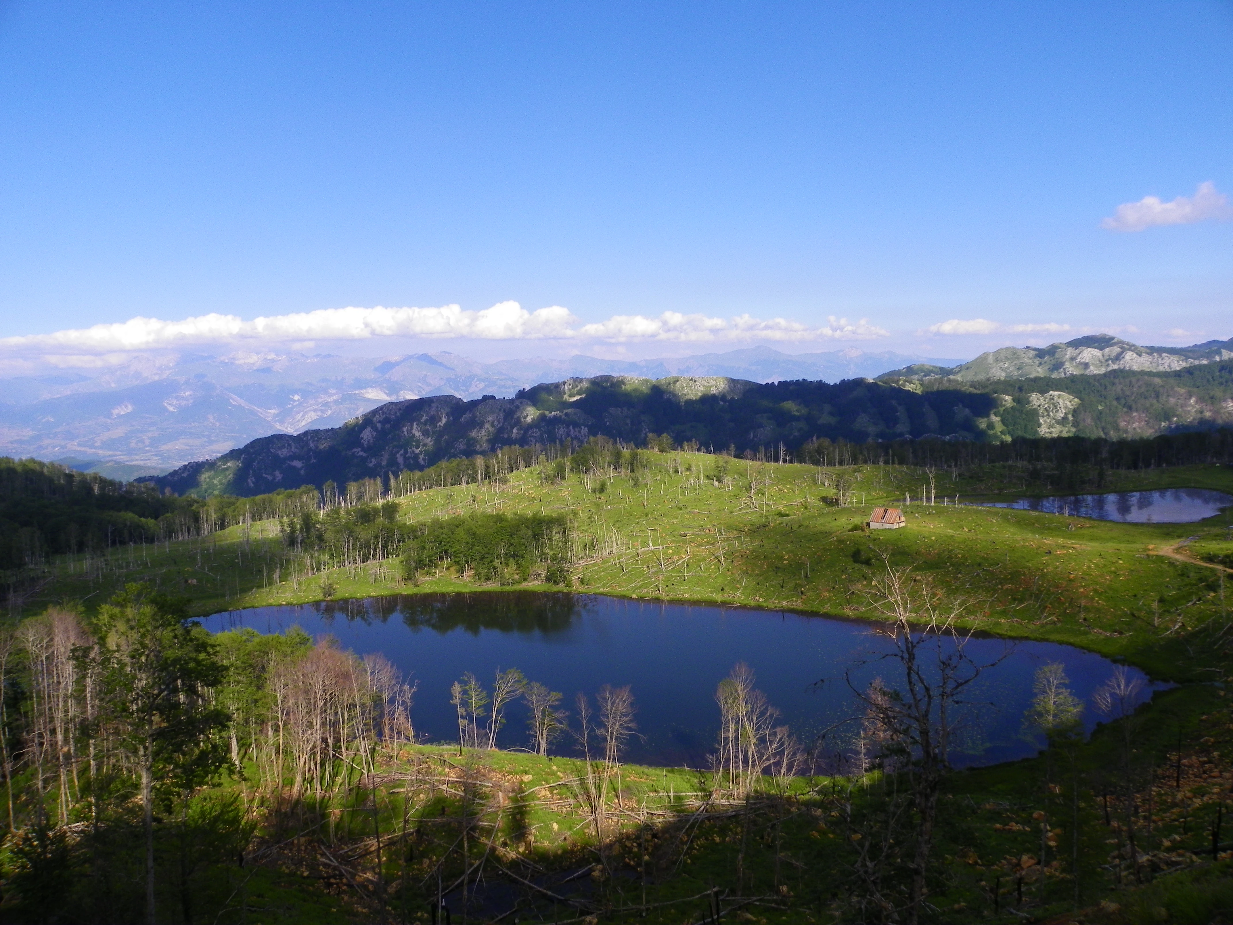
A clear blue lake surrounded by green hills and scattered trees under a bright blue sky with distant mountains
Lake Kallaba in Lurë-Dejë Mountain National Park, Albania

Lurë-Dejë Mountain National Park history and protected-area timeline

The park was originally established in 1966 as Lura National Park to protect the remarkable alpine ecosystems and biodiversity of the Lurë mountain region. For decades, the park maintained its original boundaries, preserving what was recognized as one of Albania's most significant forest and lake ecosystems. Following the fall of communism in the early 1990s, the protected area faced severe challenges from widespread illegal logging and forest fires that devastated an estimated 50% of the original park's forest cover. This period of environmental degradation prompted increased attention to the region's ecological value. In 2014, the Albanian government launched a rehabilitation campaign involving reforestation efforts, road improvements, and new signage, though local stakeholders criticized the efforts as largely superficial. A significant expansion occurred in 2018 when the park was renamed Lurë-Mali i Dejës National Park and incorporated the former Zall-Gjocaj National Park along with Dejë Mountain and Kunora e Lurës, increasing the total area to approximately 20,242 hectares. The government has since outlined plans to develop agritourism under the 100 Villages Initiative, including renovation of traditional tower houses and road improvements connecting the park to the A1 motorway.

Lurë-Dejë Mountain National Park landscape and geographic character

The park's landscape is defined by its mountainous character and glacial heritage. The Lurë mountains run in a north-south direction, with the highest peaks including Dejë Mountain at 2,246 meters and Kunora e Lurës at 2,121 meters. The terrain is densely cut by mountain streams including Seta, Uraka, and Malla e Lurës, creating a highly fragmented topography of valleys and ridges. The twelve glacial lakes occupy the eastern slope at the threshold of Lurë, sitting at elevations between 1,200 and 1,500 meters—each lake possesses distinct characteristics and names reflecting their features. The southern section contains the Field of Mares (Fusha e Kuqegjë), a meadow of colorful alpine flowers set against coniferous forest and offering panoramic views. Elevations throughout the park range from approximately 600 meters in lower valleys to over 2,000 meters on exposed ridges. The underlying geology of limestone and dolomite, combined with tectonic history and erosive forces, has created the dramatic relief that characterizes this alpine environment.
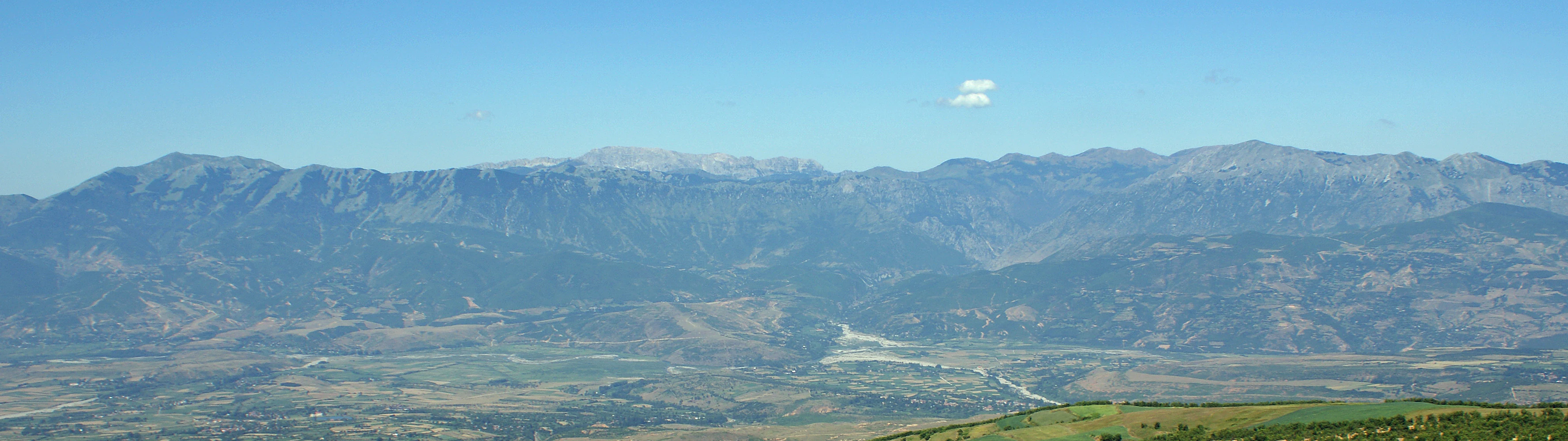
Wide panoramic view of mountain ranges with valleys and a clear blue sky in Lurë-Dejë National Park
Panoramic view of Lurë-Dejë Mountain National Park showcasing mountain ranges and valleys under a clear blue sky

Lurë-Dejë Mountain National Park ecosystems, habitats, and plant life

The park falls within the Pindus Mountains mixed forests ecoregion of the Palearctic realm's Mediterranean forests, woodlands, and scrub biome. Vegetation follows clear altitudinal zoning, with oak forests dominating up to 700-800 meters, transitioning to European beech forests from 900-1,000 meters up to the tree line around 1,900-2,000 meters. Above the beech zone, pyrenean oak and Balkan pine forests occur, with krummholz formations of Bosnian pine and Balkan pine at the highest elevations. The park is particularly notable for protecting the Balkan pine, a species threatened with extinction and confined primarily to the western Balkans. The southern meadow areas support diverse herbaceous vegetation. The glacial lakes add wetland habitats with hygrophilous vegetation including water lilies that create dramatic summer displays across the lake surfaces. This diverse habitat mosaic supports the park's significant biodiversity value as both an Important Bird Area and Important Plant Area.
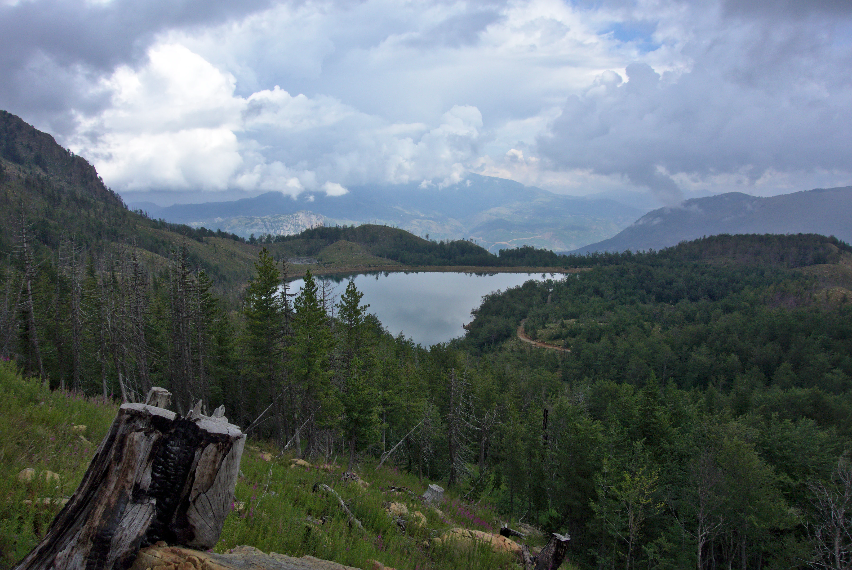
A mountain lake surrounded by forests and hills under a cloudy sky with a tree stump in the foreground
Liqeni i Madh (Big Lake) in Lurë-Dejë Mountain National Park, Albania

Lurë-Dejë Mountain National Park wildlife and species highlights

Lurë-Dejë Mountain National Park supports a remarkable community of large mammals characteristic of European mountain forests. The apex predator is the European brown bear, Albania's largest terrestrial carnivore, reaching up to 2 meters in length and 180-200 kg in weight. The Eurasian lynx, a striking feline with distinctive ear tufts and valuable pelage, roams the forested slopes. Pack-hunting Eurasian wolves maintain territories throughout the park. Smaller predators include the European pine marten. Ungulates include roe deer, the elegant cervid standing 60-70 cm at the shoulder. The western capercaillie, a large grouse species and the largest member of the pheasant family, inhabits the coniferous forests though it is increasingly rare. Small mammals include the red squirrel and edible dormouse. The aquatic environment of the glacial lakes supports freshwater communities, while the diverse forests provide habitat for numerous bird species. The combination of old-growth forest structure, varied elevation gradients, and lake ecosystems creates heterogeneous wildlife habitat supporting this notable faunal community.
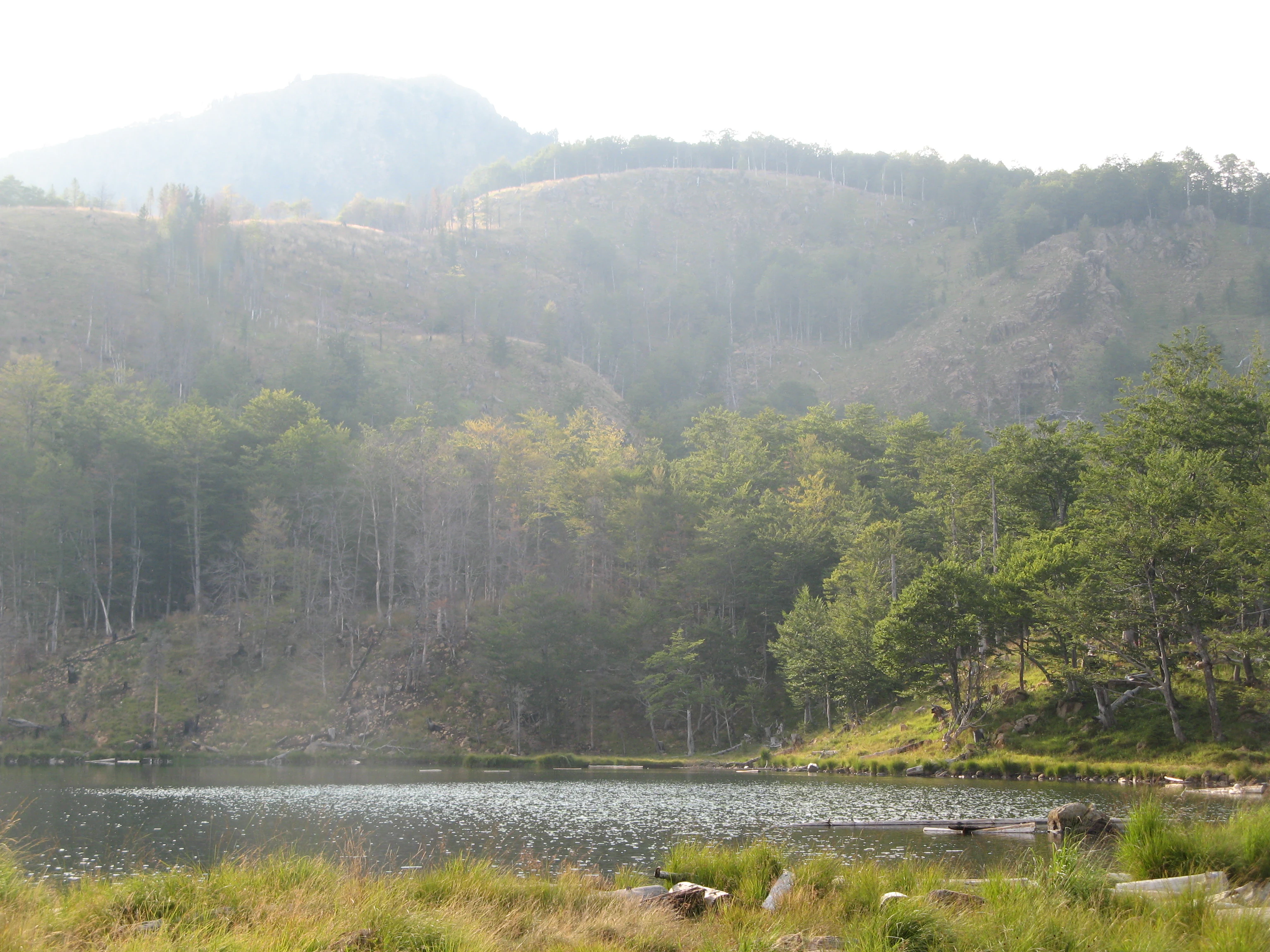
A calm lake surrounded by dense forest with mountainous terrain in the background
Lura Lakes surrounded by forested mountains in Lurë-Dejë Mountain National Park

Lurë-Dejë Mountain National Park conservation status and protection priorities

The park holds significant conservation value as an Important Bird Area and Important Plant Area, recognized for supporting species of European conservation concern. The IUCN Category II designation reflects its primary objective of protecting ecological processes and biodiversity. The park's conservation significance is amplified by its role as a refuge for the Balkan pine, a species with extremely limited global distribution and threatened with extinction. Large carnivore populations—brown bear, lynx, and wolf—indicate healthy ecosystem function and represent conservation priorities at the European scale. However, the park faces substantial threats, particularly from post-communist deforestation that destroyed an estimated 50% of the original forest cover. Contemporary challenges include hydroelectric development in the Zall-Gjocaj section that threatens the already fragile ecosystem. Ongoing conservation efforts include NGO-driven reforestation projects, with organizations like Ecovolis, Co-Plan, North Green Association, and the Trees for Lurë initiative conducting substantial planting work since 2019.

Lurë-Dejë Mountain National Park cultural meaning and human context

The Lurë region holds deep cultural significance in Albanian identity. The area is associated with the famous saying by poet Gjergj Fishta that one who has not seen Lura has not seen Albania, reflecting the landscape's prominence in national consciousness. British travel writer Edith Durham's admiration for the area further elevated its reputation as one of the Balkans' most beautiful landscapes. The region features traditional Albanian architecture including distinctive tower houses that were once common throughout the Balkans. The area includes the former industrial mining town of Kurbnesh, Ottoman-era mosques, and a recently renovated Catholic Church. The region is historically significant as the home of Dom Nikollë Kaçorri, a signatory of Albania's Declaration of Independence. Traditional land use practices have shaped the landscape over centuries, though large portions of the park remain without human intervention, particularly in the Zall Gjocaj section.
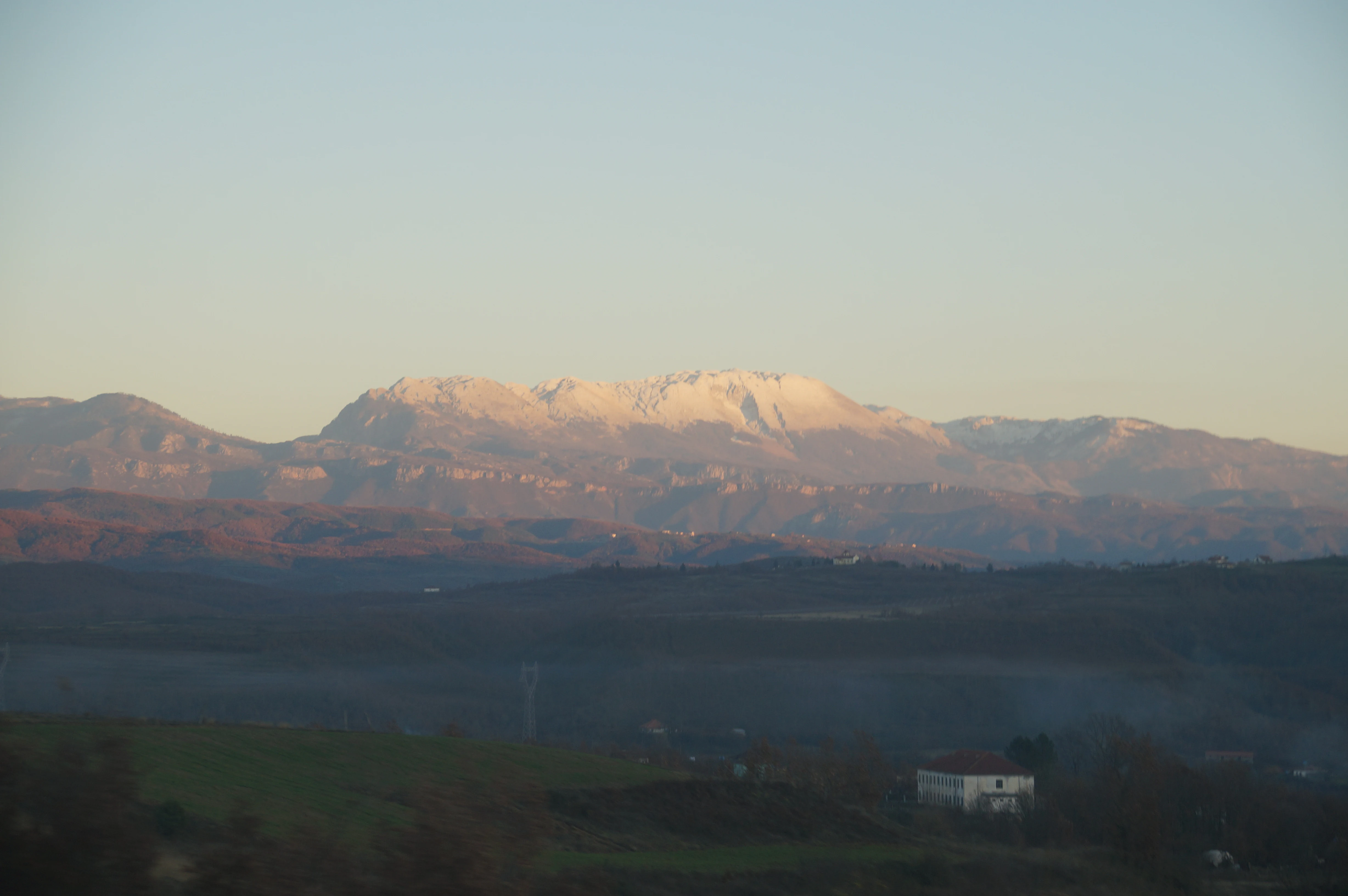
Mountain range with snow-covered peaks, valleys, and a small building in the foreground
Deja Mountain in Lurë-Dejë Mountain National Park, Albania, with snow-capped peaks under a clear sky

Top sights and standout views in Lurë-Dejë Mountain National Park

The twelve glacial lakes of Lurë represent the park's most distinctive feature—a rare alpine lake chain in the Balkans. The old-growth beech and fir forests with their canopy of European beech, silver fir, and the endangered Balkan pine create one of Albania's most significant forest ecosystems. The park protects viable populations of large carnivores including brown bear, lynx, and wolf, making it a key conservation area in the region. The southern Field of Mares offers spectacular alpine meadow scenery with wildflowers. The 2018 expansion incorporated the mountainous Zall Gjocaj area, adding valleys, additional lakes, and intact forests to the protected landscape. Traditional architecture including tower houses and historical sites such as Dom Nikollë Kaçorri's home add cultural dimension to the natural landscape.

Best time to visit Lurë-Dejë Mountain National Park

The park is best visited during the summer months from June through September when the weather is most stable and the alpine meadows are in bloom. July and August offer the warmest conditions for exploring the lake area, though summer thunderstorms are common in mountain environments. The spring months of May and June bring wildflower displays in the meadows and fuller water levels in the lakes after snowmelt. Autumn in September and October offers golden foliage colors in the beech forests and fewer visitors, though weather becomes less predictable. Winter access is limited due to snow at higher elevations, though the park's mountain landscape transforms into a pristine winter scene for those with appropriate access and equipment. The glacial lakes are most visible and accessible during the warmer months when snow has melted and access roads are passable.

Monthly climate preview

Long term average temperature and monthly precipitation patterns mapped from historical coordinates

Lurë-Dejë Mountain National Park Climate and Monthly Weather Normals

Long-term data at a representative coordinate in Lurë-Dejë Mountain National Park reveals cold, damp periods around Month 12 and Month 1 contrasting with warm, drier conditions around Month 7 and Month 8. Accessing the full month-by-month profile outlines the complete temperature ranges and precipitation trends across all seasons in Dibër County.
Annual mean11 °C
1 °C23 °C
Jan
Feb
Mar
Apr10°
May15°
Jun19°
Jul23°
Aug23°
Sep17°
Oct12°
Nov
Dec
Warmest month
August

23.2 °C

Coolest month
January

0.6 °C

Wettest month
November

4.8 mm/day

Driest month
July

1.1 mm/day

Park location guide

Geography guide, regional context, and park location map for Lurë-Dejë Mountain National Park

Lurë-Dejë Mountain National Park park geography, regions, and map view in Albania

Understand where Lurë-Dejë Mountain National Park sits in Albania through a broader geographic reading of the surrounding landscape, nearby location context, and its mapped position within the national park landscape.

How Lurë-Dejë Mountain National Park fits into Albania

Albania is a unitary parliamentary republic in Southeast Europe, situated on the Balkan Peninsula along the Adriatic and Ionian coastal regions. With a population of approximately 2.4 million people, it borders Montenegro, Kosovo, North Macedonia, and Greece. The country features varied landscapes ranging from the Albanian Alps to fertile coastal plains, with Tirana as its capital and largest city.

Wider geography shaping Lurë-Dejë Mountain National Park in Albania

Albania occupies the western part of the Balkan Peninsula in Southeast Europe. The country features a varied terrain with rugged mountain ranges including the Albanian Alps (Accursed Mountains), Korab, Skanderbeg Mountains, Pindus, and Ceraunian Mountains. Fertile lowland plains extend along the Adriatic and Ionian coastal regions. The country borders Montenegro to the northwest, Kosovo to the northeast, North Macedonia to the east, and Greece to the south.

Map view of Lurë-Dejë Mountain National Park

Use this park location map to pinpoint Lurë-Dejë Mountain National Park in Albania, understand its exact geographic position, and read its mapped placement within the surrounding landscape more clearly.

Pigeon | © OpenStreetMap contributors

Location context for Lurë-Dejë Mountain National Park

Dibër County

A visual guide to the protected area's majestic mountain terrain, ancient forest habitats, and rare chain of twelve glacial lakes.

Lurë-Dejë Mountain National Park Photography: Discover Albania's Glacial Lakes and Alpine Scenery

Explore the visual character of Lurë-Dejë Mountain National Park, encompassing its spectacular glacial lakes, rugged alpine peaks, and dense old-growth forests across the Albanian mountain range. Reviewing these landscape visuals provides deeper understanding of the park's distinct protected ecosystems, unique biodiversity, and the expansive high-altitude environment in the Balkans.

A clear blue lake surrounded by green hills and scattered trees under a bright blue sky with distant mountains

A still lake reflecting dense forest and hills under a clear blue sky

Wide panoramic view of mountain ranges with valleys and a clear blue sky in Lurë-Dejë National Park

A mountain lake surrounded by forests and hills under a cloudy sky with a tree stump in the foreground

A calm lake surrounded by dense forest with mountainous terrain in the background

Grassy meadow with scattered trees, rolling green hills, and a mountain range in the background under an overcast sky

Mountain range with snow-covered peaks, valleys, and a small building in the foreground

Park atlas

Compare alpine landscapes, glacial lakes, and forest ecosystems across the wider Albanian mountains.

Discover Other National Parks and Protected Areas Near Lurë-Dejë Mountain National Park

Explore additional national parks and protected areas situated near Lurë-Dejë Mountain National Park, tracing contiguous mountain ranges and shared conservation landscapes of the Balkan region. This expanded geographic view allows you to compare diverse alpine environments, significant old-growth forests, and unique glacial formations, deepening your understanding of the protected-area spread.
National parkNorth Macedonia
About 24 km away#1 closest

East

Mavrovo National Park: North Macedonia's Extensive Protected Alpine Terrain and Wildlife

Mapped geography of Alpine peaks, gorges, and unique endemic species.

Mavrovo National Park, North Macedonia's largest protected area, offers a deep dive into a complex Alpine geography. Dominated by the Šar, Korab, and Bistra mountain systems, the park features towering peaks and the dramatic Radika River gorge. This protected landscape is globally significant for its role in conserving the rare Balkan lynx and harbors endemic tertiary relic plant species like Macedonian pine. Explore the mapped boundaries, glacial lakes, and distinct terrain that define this vital conservation area.

Area
730.88 km²
Established
1949
IUCN
II
Relief
Mountain
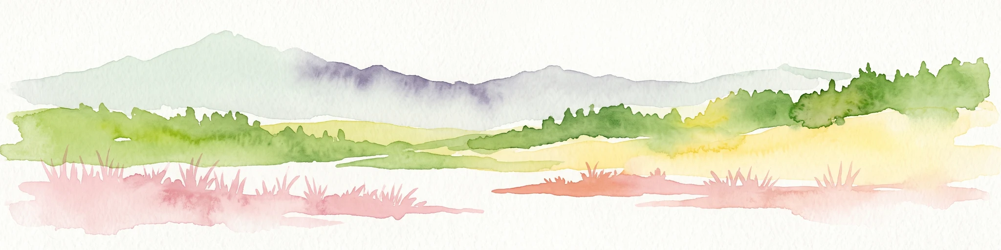
Watercolor painting of an alpine mountain range with rolling green hills and pink wildflowers in the foreground.
Protected landscapeDibër County
About 26 km away#2 closest

East

Korab-Koritnik Nature Park: Mapping the Alpine Terrain of Dibër County and the European Green Belt

A critical protected landscape featuring Albania's highest mountain peak and glacial basins

Korab-Koritnik Nature Park represents a major expanse of high-altitude wilderness, stretching across the rugged borderlands of Dibër County. The protected landscape is characterized by diverse terrain, including dramatic rock walls, deep glacial valleys, and extensive coniferous forests. As a central component of the European Green Belt, the park serves as a vital geographic anchor for studying mountain ecosystems and protected-area connectivity in the Balkan region.

Area
555.5 km²
Established
2011
IUCN
IV
Relief
Mountain
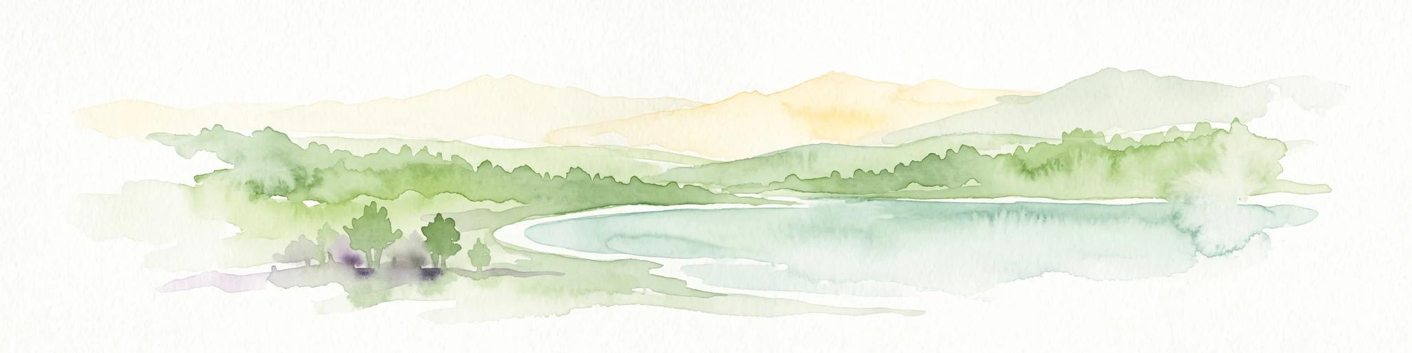
A minimalist watercolor painting showing a tranquil lake surrounded by gentle hills and trees against a soft, pale sky.
Nature reserveDibër County
About 33 km away#3 closest

Southwest

Lake Ulza Nature Park: Mapped Geography and Protected Area Overview in Dibër County

Analyzing the reservoir and river valley landscapes of central Albania

Lake Ulza Nature Park represents a significant protected mosaic where the Mat River creates a corridor of reservoirs, oak forests, and stony uplands. This overview examines the park geography, offering a structured look at how water bodies and mountainous terrain converge to form a unique inland habitat in Dibër County. Explore the physical relief and environmental boundaries that define this essential Albanian natural landmark.

Area
42.06 km²
Established
2013
IUCN
IV
Relief
Mixed relief
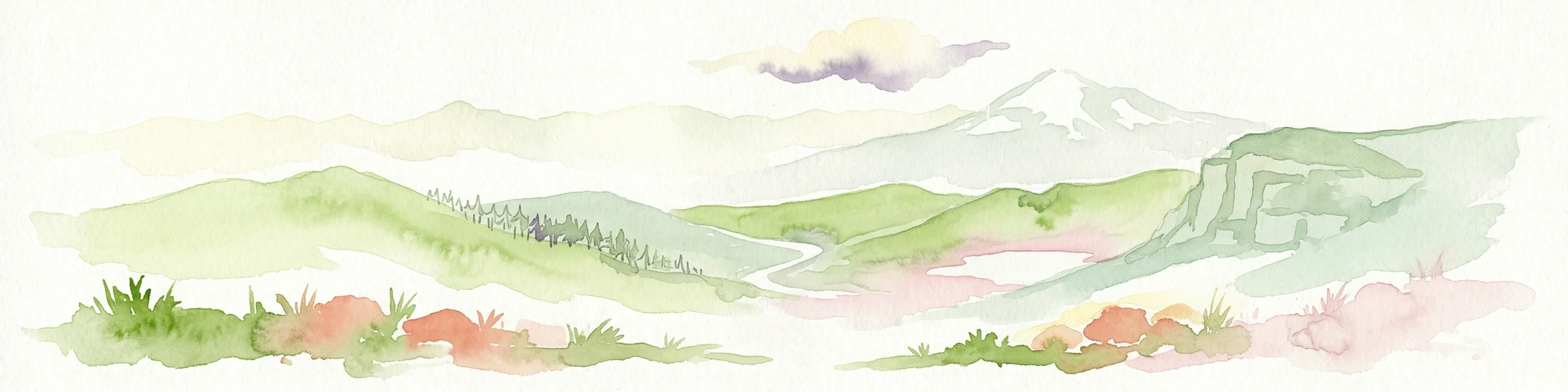
Watercolor illustration of mountainous landscape with rolling hills, green fields, and distant snow-capped peaks.
National parkNorth Macedonia
About 40 km away#4 closest

Northeast

Šar Planina National Park: North Macedonia's Premier Alpine Protected Landscape

Explore glacial lakes, high peaks, and critical Balkan lynx habitat.

Šar Planina National Park is an expansive protected area in North Macedonia, defined by its striking alpine terrain and significant ecological value. The park safeguards a landscape featuring approximately 220 peaks over 2,000 meters and 29 permanent glacial lakes, known as 'Šar's Eyes.' This national park serves as a vital refuge for endangered wildlife, including the Balkan lynx, and offers a unique geographic context for understanding mountain wilderness and protected land distribution in the Balkan region. Its mapped boundaries encompass a rich biodiversity and a landscape shaped by glacial and fluvial processes.

Area
627 km²
Established
2021
IUCN
II
Relief
Mountain
Nature reserveAlbania
About 43 km away#5 closest

Southwest

Shtamë Pass Nature Park: Geographic Overview and Protected Mountain Landscape Map

Highland pine forests and freshwater corridors in Albania

Shtamë Pass Nature Park sits within the central Albanian mountains, providing a critical ecological link between coastal-inland gateway regions. The area protects a complex mosaic of alpine terrain, including clear mountain lakes, cold freshwater springs, and dense black pine forests that shelter brown bears and wolves. This protected zone offers a comprehensive view of regional highland geography and topography through its distinct mountain pass corridor.

Area
68.64 km²
Established
1996
IUCN
IV
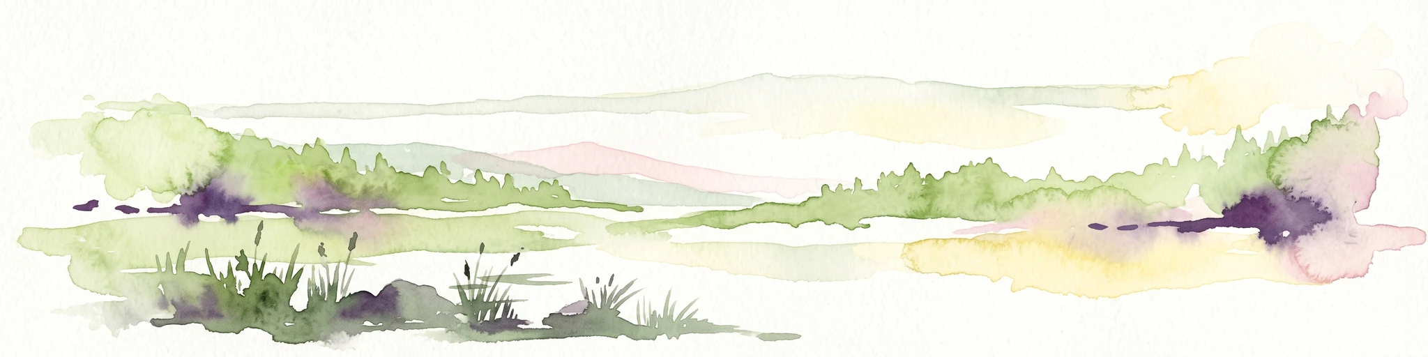
An abstract watercolor painting showing a horizontal landscape with grassy foreground and distant rolling hills in soft green, yellow, and purple tones.
Nature reserveDibër County
About 50 km away#6 closest

South

Mali me Gropa-Bizë-Martanesh Nature Park: Karst Plateau and Mountain Geography in Central Albania

A diverse nature reserve in the heart of the Albanian highlands

This protected area features a unique mosaic of karst landscapes, including the distinctive Mali me Gropa plateau, alongside deep canyons and glacial features. It provides essential habitat for large carnivores and represents a vital ecological link within the mountain terrain of central Albania, offering a structured look at the region's vertical landscape zonation and natural monuments.

Area
252.66 km²
Established
2007
IUCN
IV
Relief
Mountain
A minimalist watercolor painting depicting a soft-focus landscape with green marshes, pale yellow flats, and light pink rolling hills in the background.
Nature reserveLezhë County
About 53 km away#7 closest

West

Kunë-Vain-Talë-Patok-Fushëkuqe-Ishëm Nature Park: Mapped Geography and Coastal Wetlands

Protected lagoon and forest landscapes in Lezhë County, Albania

Examine the protected territory of Kunë-Vain-Talë-Patok-Fushëkuqe-Ishëm Nature Park, defined by its dynamic lagoon systems, alluvial forests, and coastal dunes along the Adriatic shore. This area provides deep insight into deltaic hydrology and the preservation of Mediterranean woodland habitats within a regional geographic context.

Area
43.93 km²
Established
2010
IUCN
IV
Relief
Lowland
National parkAlbania
About 55 km away#8 closest

Southwest

Dajti Mountain National Park: Albania's Accessible Protected Mountain Landscape for Geographic Discovery

Explore the mapped terrain and diverse ecosystems of this significant national park.

Dajti Mountain National Park is a prime example of a protected mountain landscape central to Albania's geography. Situated near Tirana, its rugged karst topography, steep limestone ridges, and varied elevation create distinct ecological zones. This atlas-focused entry details the park's terrain, notable geological features like Pellumbas Cave, and its role as a significant protected area offering rich mapped landscape context.

Area
293.84 km²
Established
1966
IUCN
II
Relief
Mountain

Common questions about visiting, size, designation, and location context for Lurë-Dejë Mountain National Park

Lurë-Dejë Mountain National Park FAQs for park facts, access, geography, and protected area context

Find quick answers about Lurë-Dejë Mountain National Park, including protected-area facts, park geography, trail and visitor context, and how the park fits into its surrounding country and regional landscape.
MoriAtlas Explorer

Continue Your Protected Areas Search Across the Global Atlas

Deepen your exploration by continuing the structured search for national parks and protected areas worldwide. Utilize the comprehensive filtering capabilities to compare different conservation landscapes and refine your understanding of global park geography. Discover more about the distribution and characteristics of protected natural areas.

Global natural geography