Mori Atlas logo
National parkRiisitunturi National Park

Discover the mapped boundaries and regional landscape of this national park in northern Finland.

Riisitunturi National Park: Protected Landscape and Geographic Context in Lapland

Riisitunturi National Park represents a significant protected landscape within the vast geography of Lapland, Finland. As a national park, its mapped boundaries define a distinct natural territory, offering a focal point for understanding regional terrain and protected land distribution. This page serves as an atlas-centered entry to Riisitunturi National Park, detailing its place within the broader Finnish geography and providing context for landscape exploration.

Northern FinlandMountainous terrainBoreal forestWetlandsSwampsLapland

Riisitunturi National Park

National park

Park overview

Structured park overview, official facts, and landscape profile for Riisitunturi National Park

Riisitunturi National Park park facts, protected area profile, and essential visitor context
Review the core facts for Riisitunturi National Park, including designation, size, terrain, visitor scale, habitats, and operating context in one park-focused overview.

About Riisitunturi National Park

Riisitunturi National Park occupies a distinctive position in Finland's protected areas network as a mountainous park in southern Lapland, an area where true alpine terrain becomes increasingly rare. The park's terrain rises from surrounding forests to form the prominent Riisitunturi fell, a twin-peaked ridge that serves as the park's visual anchor and primary landmark. The underlying geology and climate create conditions favoring extensive wetland development, with hillside swamps being a particularly characteristic feature throughout the park. These mires and marshes play important ecological roles while also contributing to the visual character of the landscape. The park's relatively compact size of 77 square kilometers contains a remarkably diverse range of habitats, from old-growth spruce forests on lower slopes to more open fell vegetation at higher elevations. The protection of this mountainous landscape ensures that one of Finland's distinctive southern Lapland environments remains preserved for ecological, recreational, and cultural purposes.

Quick facts and research context for Riisitunturi National Park

Riisitunturi National Park lies in Finnish Lapland, roughly 150 kilometers north of the Arctic Circle. The park's terrain is dominated by mountainous ridges with the twin-peak of Riisitunturi reaching 465.3 meters above sea level, providing the park's highest viewpoint. The area features extensive swamp systems, particularly hillside marshes that are characteristic of the region. The park is managed by Metsähallitus, Finland's state-owned forest management agency, and receives approximately 58,800 visitors annually.

Park context

Deeper park guide and search-rich context for Riisitunturi National Park

Riisitunturi National Park history, landscape, wildlife, and travel context
Explore Riisitunturi National Park through its history, landscape character, ecosystems, wildlife, conservation priorities, cultural context, and seasonal travel timing in a structured park guide built for atlas discovery and search intent.

Why Riisitunturi National Park stands out

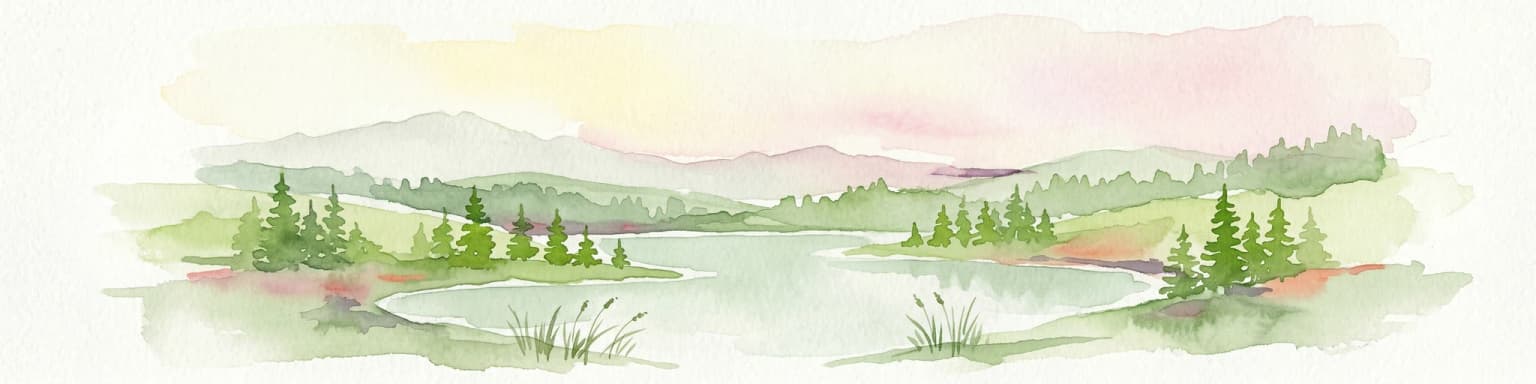
Riisitunturi is best known for its dramatic mountainous landscape within Finland's southern Lapland, where twin fells rise from surrounding forests and wetlands. The park's distinctive character comes from the combination of open fell terrain, dense northern spruce forests, and the extensive swamp networks that create a varied and visually striking environment. The summit viewpoint from Noukavaara offers panoramic views across the protected landscape, making it a signature experience for visitors. The wilderness hut near the twin-peak provides backcountry access to one of the park's most iconic landscapes.

Riisitunturi National Park history and protected-area timeline

Riisitunturi National Park was established in 1982 as part of Finland's expanding network of protected areas during the country's environmental protection movement of the late 20th century. The park's creation reflected growing recognition of the need to preserve the unique mountainous and wetland landscapes of southern Lapland, which differed from the more extensive protected areas already established in northern Finland's arctic regions. Since its establishment, the park has been managed by Metsähallitus, which coordinates Finland's state-owned protected areas. The single wilderness hut near the twin-peak of Riisitunturi provides backcountry accommodation for hikers exploring the park's interior, maintaining Finland's tradition of accessible wilderness accommodation in protected areas.

Riisitunturi National Park landscape and geographic character

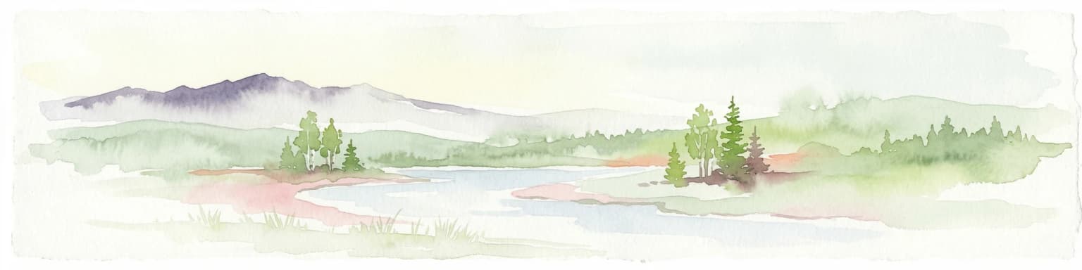
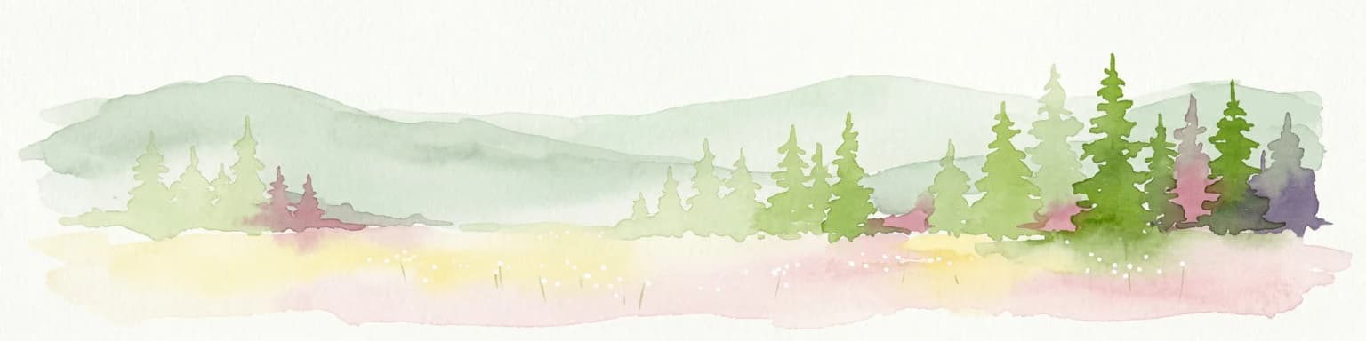
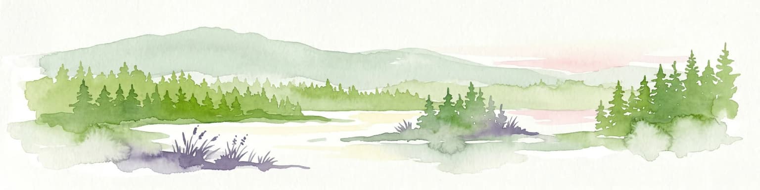
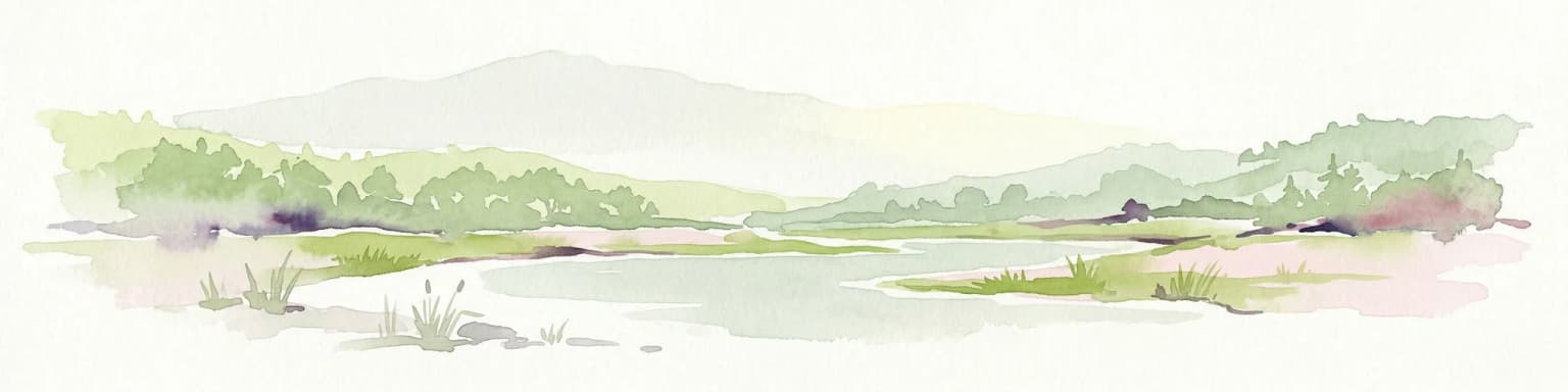
The physical landscape of Riisitunturi National Park centers on the prominent Riisitunturi fell, a distinctive twin-peak formation that rises above the surrounding terrain to an elevation of 465.3 meters. This mountainous core is surrounded by forests that transition from more mixed woodland in the lower elevations to pure spruce-dominated taiga as elevation increases. The landscape is notably characterized by extensive swamp systems, particularly hillside swamps that develop in the transition zones between higher ground and valley bottoms. These wetlands create a mosaic of wet and dry areas across the park, with marshy meadows, peat bogs, and swampy forests providing visual variety. The summit area offers sweeping views across the protected landscape, with the relatively gentle arctic fells of the region creating an open, exposed character above the treeline.

Riisitunturi National Park ecosystems, habitats, and plant life

The ecological character of Riisitunturi reflects the transition between Finland's boreal forest zone and more arctic conditions. The park contains old-growth spruce forests that represent relatively intact examples of northern taiga, with trees that have developed over centuries without significant disturbance. The extensive swamp systems represent another key habitat type, supporting specialized plant communities adapted to wet, acidic conditions. The hillside swamps in particular create ecological corridors through the forest and provide important functions in water regulation and carbon storage. The transition from forest to open fell vegetation creates environmental gradients that support diverse plant communities, from shade-tolerant forest understory species to more hardy tundra vegetation on the most exposed sites.

Riisitunturi National Park wildlife and species highlights

The wildlife of Riisitunturi reflects typical Lapland fauna adapted to northern boreal and subarctic conditions. The forest environments support species such as reindeer, which have long been part of the cultural and ecological landscape of northern Finland. The swamp areas provide important habitats for waterfowl and wetland birds, while the surrounding forests host species typical of the taiga zone. The relatively undeveloped nature of the protected area means that species requiring large, intact wilderness areas can persist in the park, maintaining ecological connectivity with the broader northern Finnish landscape.

Riisitunturi National Park conservation status and protection priorities

Riisitunturi National Park contributes to Finland's conservation network by protecting a distinctive mountainous and wetland landscape that might otherwise face development pressure. The park's classification as an IUCN Category II protected area reflects its primary purpose of preserving natural ecosystems while allowing for sustainable recreation. The protection of extensive swamp systems is particularly significant given the role of these wetlands in carbon storage, water regulation, and biodiversity support. The park also helps preserve connectivity across Finland's northern landscapes, allowing wildlife populations to maintain genetic exchange across the broader region.

Top sights and standout views in Riisitunturi National Park

The signature experience at Riisitunturi is the hike to the summit viewpoint at Noukavaara, which offers expansive panoramas across the protected mountainous landscape. The park's network of trails allows visitors to explore the transition between dense forest and open fell terrain, passing through the characteristic hillside swamps that distinguish this area. The single wilderness hut near the twin-peak provides backcountry access for those wishing to experience the park's interior landscape more deeply. The combination of accessible day-hiking opportunities and wilderness backcountry experiences makes the park appealing to a range of visitors.

Best time to visit Riisitunturi National Park

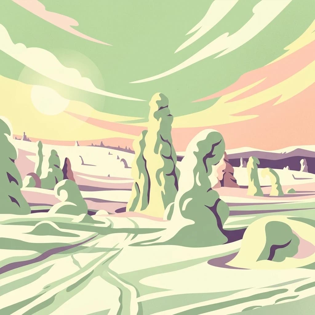
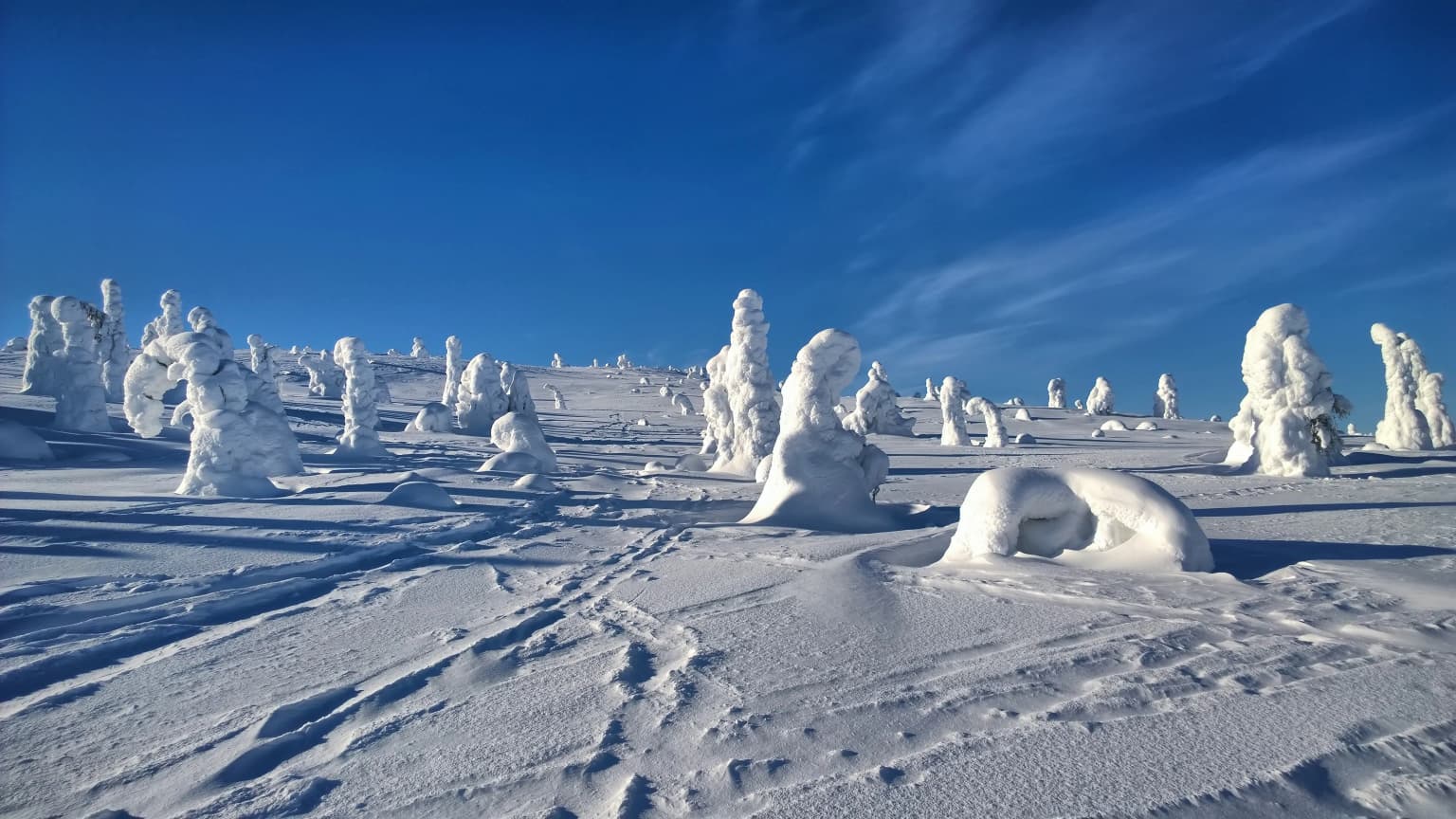
The best time to visit Riisitunturi National Park is during the summer months of June through August, when Finland's northern latitude provides nearly continuous daylight and hiking conditions are most favorable. The snow-free period allows access to the fell trails and wilderness hut, with the landscape displaying the vibrant greens characteristic of northern growing seasons. Winter visits are possible but require appropriate equipment and preparation for arctic conditions, with the park's small scale and limited facilities making it better suited to summer exploration. The shoulder seasons of late spring and early autumn offer different but equally compelling experiences, with spring bringing snow-melt wetlands and autumn displaying boreal forest color.

Park location guide

Geography guide, regional context, and park location map for Riisitunturi National Park

Riisitunturi National Park park geography, regions, and map view in Finland
Understand where Riisitunturi National Park sits in Finland through a broader geographic reading of the surrounding landscape, nearby location context, and its mapped position within the national park landscape.

How Riisitunturi National Park fits into Finland

Finland, officially the Republic of Finland, is a Nordic country in Northern Europe with a population of 5.6 million. It borders Sweden, Norway, and Russia, with the Gulf of Bothnia to the west and the Gulf of Finland to the south. The country gained independence from Russia in 1917 and is a unitary parliamentary republic. Its landscape is characterized by extensive boreal forests and over 180,000 lakes.

Wider geography shaping Riisitunturi National Park in Finland

Finland is located in Northern Europe, occupying a peninsula bordered by the Gulf of Bothnia to the west and the Gulf of Finland to the south. It shares land borders with Sweden to the northwest, Norway to the north, and Russia to the east. The terrain is predominantly flat with extensive forest coverage and numerous lakes.

Map view of Riisitunturi National Park

Use this park location map to pinpoint Riisitunturi National Park in Finland, understand its exact geographic position, and read its mapped placement within the surrounding landscape more clearly.

Pigeon | © OpenStreetMap contributors

Location context for Riisitunturi National Park

Lapland
Park atlas

Explore the mapped geography of adjacent protected landscapes and similar boreal forest environments in Finland.

Discover Other National Parks and Protected Areas Near Riisitunturi National Park
Explore other national parks and protected landscapes that share similar ecological zones and unique fell-and-wetland terrain with Riisitunturi National Park, expanding your understanding of northern Finland's conservation efforts. Compare diverse protected areas across the broader Lapland region and adjacent taiga environments, tracing geographic connections and distinct conservation profiles.
National parkLapland

Oulanka National Park: Protected Landscape Atlas and Geographic Context in Lapland

Explore mapped boundaries and regional terrain.

Discover Oulanka National Park as a distinct protected landscape entity within the extensive northern region of Lapland, Finland. This page provides structured geographic information, focusing on the park's mapped area, its regional setting, and its identity as a national park. MoriAtlas facilitates an atlas-driven understanding of Oulanka National Park's place in Finland's protected lands and its inherent natural terrain.

Area
270 km²
Established
1956
IUCN
II
Visitors
187.4K annual
Watercolor landscape featuring green hills, pine trees, and a yellowish field
National parkFinland

Syöte National Park: Mapped Protected Landscape and Fell Geography in Finland

Explore Finland's southernmost fell and diverse northern wilderness.

Delve into the protected territory of Syöte National Park, a key national park in northern Finland. This page highlights the park's distinct geographic features, including its southernmost fell, Iso-Syöte, alongside expansive mire systems and old-growth boreal forests. Understand the mapped boundaries and the unique ecological transition zone it represents within the Finnish atlas, offering a comprehensive view of its landscape context and protected area status.

Area
299 km²
Established
2000
IUCN
II
Visitors
88.2K annual
National parkLapland

Salla National Park: Mapped Protected Landscape in Lapland, Finland

Explore its geographic context and protected area identity.

Understand Salla National Park as a distinct protected landscape situated within the expansive northern Finnish region of Lapland. This MoriAtlas entry focuses on its identity as a national park, detailing its mapped boundaries and geographic setting. Discover how Salla National Park contributes to the atlas of protected areas, offering a specific point of reference for exploring the natural terrain and regional geography of this subarctic territory.

Area
99.83 km²
Established
2022
IUCN
II
Visitors
55.9K annual
Watercolor illustration of a landscape with lake, trees, and hills
National parkRepublic of Karelia

Paanajärvi National Park: Republic of Karelia's Premier Protected Landscape

Explore mapped boundaries and regional geography of this national park.

This MoriAtlas entry details Paanajärvi National Park, a significant protected area situated in the Republic of Karelia. Delve into its specific geographic profile, understand its mapped protected boundaries, and see how it fits into the wider atlas of Russia's natural and protected landscapes. It serves as a dedicated point for focused discovery of this national park's unique landscape context.

Area
1,043.71 km²
Established
1992
IUCN
II
Relief
Highland
National parkFinland

Hossa National Park: Detailed National Park and Protected Landscape Geography

Explore mapped boundaries and regional context within Finland.

Delve into the protected landscape of Hossa National Park, a designated national park in Finland. This page provides structured geographic information, focusing on its mapped boundaries and position within the country's natural terrain. Understand how Hossa National Park contributes to the atlas of protected areas in Northern Europe, offering insights into its specific landscape character and regional significance for geographic discovery.

Established
2017
Scope
Terrestrial
Watercolor illustration showing a lake, rolling hills, and vegetation.
National parkLapland

Pyhä-Luosto National Park: Ancient Geological Heritage and Fell Landscape

Explore Lapland's southernmost large fell system and deep gorges.

Pyhä-Luosto National Park offers a unique window into Finland's deep geological past and its boreal ecosystems. As a protected area, it encompasses a prominent chain of twelve fells composed of two-billion-year-old quartzite, showcasing the southernmost large fell system in the country. The park's landscape is further defined by features like Isokuru, Finland's deepest gorge, and extensive old-growth forests, providing rich context for map-based discovery and regional geographic understanding within Lapland.

Area
142 km²
Established
2005
IUCN
II
Visitors
198.9K annual
National parkRepublic of Karelia

Kalevalsky National Park: Rare Old-Growth Boreal Forest and Kalevala Epic Landscape

Mapped protected wilderness in the Republic of Karelia

Kalevalsky National Park is a significant protected area within the Republic of Karelia, Russia, safeguarding one of Europe's last remaining old-growth boreal pine forests. This vast national park protects a landscape characterized by numerous lakes, rivers, and marshes resting on ancient Baltic Shield bedrock, offering a clear representation of primeval taiga ecosystems. Its profound cultural ties to the Kalevala epic, Finland's national poem, make it a unique destination for exploring both natural and mythological geography. Understand the park's mapped boundaries and its place within the regional context.

Area
744 km²
Established
2007
IUCN
II
Relief
Lowland
National parkLapland

Bothnian Bay National Park: A National Park in Lapland's Geographic Atlas

Protected landscape and mapped terrain in northern Finland.

Delve into Bothnian Bay National Park, a key protected area situated in the Lapland region of Finland. This page serves as an atlas gateway to understanding the park's specific geographic features, its mapped boundaries as a national park, and its role within the broader context of Finland's protected natural landscapes.

Area
157 km²
Established
1991
IUCN
II
Visitors
6.3K annual

Common questions about visiting, size, designation, and location context for Riisitunturi National Park

Riisitunturi National Park FAQs for park facts, access, geography, and protected area context
Find quick answers about Riisitunturi National Park, including protected-area facts, park geography, trail and visitor context, and how the park fits into its surrounding country and regional landscape.
MoriAtlas Explorer

Continue Your Protected Areas Search Across the Global Atlas

Deepen your exploration by continuing the structured search for national parks and protected areas worldwide. Utilize the comprehensive filtering capabilities to compare different conservation landscapes and refine your understanding of global park geography. Discover more about the distribution and characteristics of protected natural areas.

Global natural geography