Mori Atlas logo
National parkPaanajärvi National Park

Discover the geographic extent and atlas context of this significant national park.

Paanajärvi National Park: Mapped Protected Landscape in the Republic of Karelia

Paanajärvi National Park stands as a designated national park within the Republic of Karelia, offering a distinct focus for geographic exploration. This page provides access to its mapped protected boundaries and situates it within the broader atlas of Russia's natural areas. Understand its regional context and landscape features as part of a structured discovery of protected lands.

National ParkTaiga ForestBoreal EcosystemTransboundary Protected AreaWilderness AreaLake District
Stylized illustration of rocky cliffs with waterfalls, a lake, evergreen trees, and a small boat on the shore

Paanajärvi National Park

National park

Park overview

Structured park overview, official facts, and landscape profile for Paanajärvi National Park

Paanajärvi National Park park facts, protected area profile, and essential visitor context
Review the core facts for Paanajärvi National Park, including designation, size, terrain, visitor scale, habitats, and operating context in one park-focused overview.

About Paanajärvi National Park

Paanajärvi National Park occupies a remarkable position in northwestern Russia, protecting one of the most ecologically significant tracts of boreal forest in Europe. The park's location in the Republic of Karelia places it at the intersection of Scandinavian and Russian ecological influences, creating a landscape of exceptional biodiversity and wilderness character. The Maanselkä hills provide the geological backbone of the region, with forested slopes rising to meet the Finnish border along the western edge of the protected area. Within this protected landscape, ancient pine and spruce forests have persisted for centuries, their canopy sheltering a rich understory of lichens, mosses, and ferns adapted to the cool, moist boreal climate. The park's network of lakes and rivers drains the hillside terrain, creating a heterogeneous landscape of waterways, wetlands, and forested islands that characterizes the Karelian wilderness. The establishment of Paanajärvi in 1992 reflected a growing recognition that this corner of northern Europe contained ecological values worthy of formal protection, and the subsequent PAN Parks certification confirmed its status as one of Europe's premier wilderness areas.

Quick facts and research context for Paanajärvi National Park

Paanajärvi National Park covers 1,043.71 square kilometers of boreal wilderness in the Republic of Karelia, Russia. Established in 1992, it is classified as an IUCN Category II protected area. The park protects taiga forest ecosystems, numerous lakes, and river systems within the Maanselkä hill region. Nuorunen, the highest peak in Karelia, rises within the park's boundaries. The park has received PAN Parks certification, recognizing its wilderness conservation value. It adjoins Oulanka National Park in Finland, creating a cross-border protected area network spanning the international frontier.

Park context

Deeper park guide and search-rich context for Paanajärvi National Park

Paanajärvi National Park history, landscape, wildlife, and travel context
Explore Paanajärvi National Park through its history, landscape character, ecosystems, wildlife, conservation priorities, cultural context, and seasonal travel timing in a structured park guide built for atlas discovery and search intent.

Why Paanajärvi National Park stands out

Paanajärvi is best known for its extensive old-growth taiga forests, its position along the Finnish-Russian border, and the presence of Nuorunen, Karelia's highest mountain. The park represents one of Europe's last great wilderness areas of intact boreal forest, protecting a landscape that exemplifies the classic Scandinavian and Russian taiga ecoregion. Its designation as a PAN Parks certified wilderness area further distinguishes it as a destination of international conservation significance.

Calm lake with two motorboats on sandy shore, dense coniferous forest, distant mountains, and partly cloudy sky
View of Lake Paanajärvi with boats docked on a sandy shore

Paanajärvi National Park history and protected-area timeline

Paanajärvi National Park was established in 1992 during a period of significant environmental policy development in post-Soviet Russia. The creation of the park represented a commitment to preserving the remaining old-growth forests of Karelia, a region that had experienced substantial timber extraction in the preceding decades. The park's establishment also reflected growing international cooperation in environmental protection, particularly with neighboring Finland, with which Russia shares the Karelian border landscape. The designation of the adjacent Oulanka National Park on the Finnish side created a contiguous cross-border protected area, one of the first such arrangements between Russia and a European Union member state. The park's subsequent receipt of PAN Parks certification provided international recognition of its wilderness values and helped establish its reputation as a destination for ecologically conscious visitors seeking to experience authentic taiga wilderness.

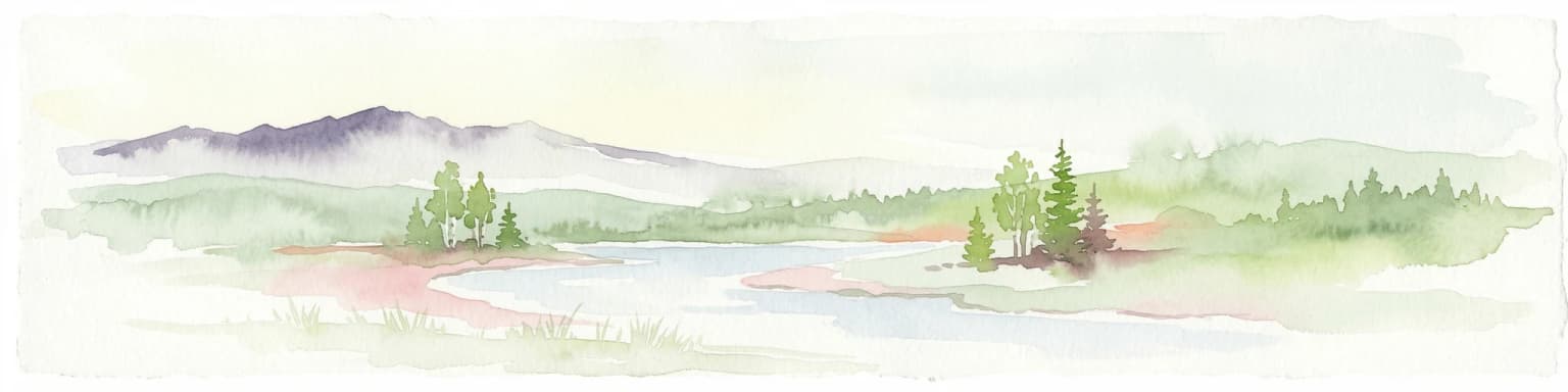
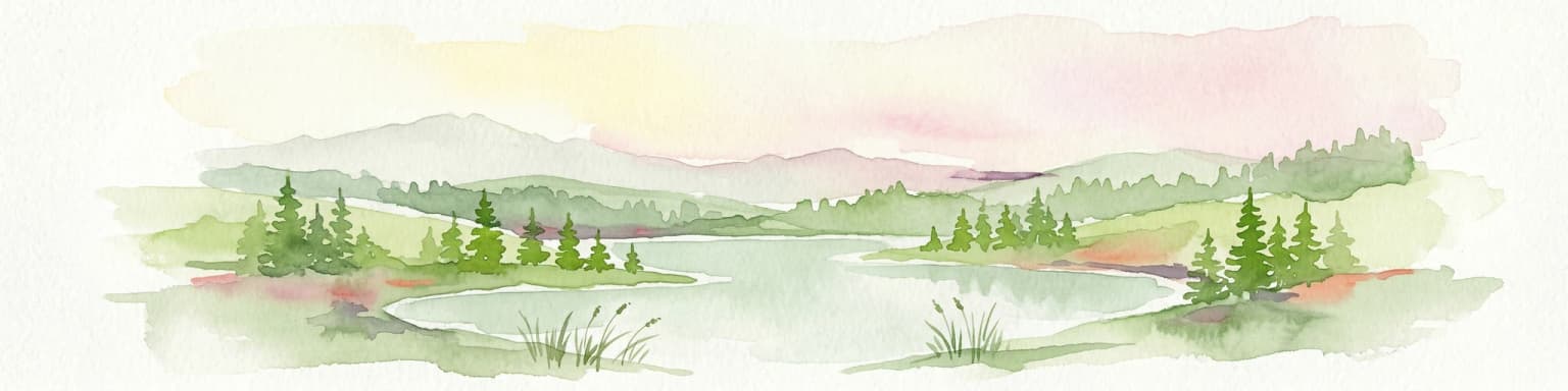
Paanajärvi National Park landscape and geographic character

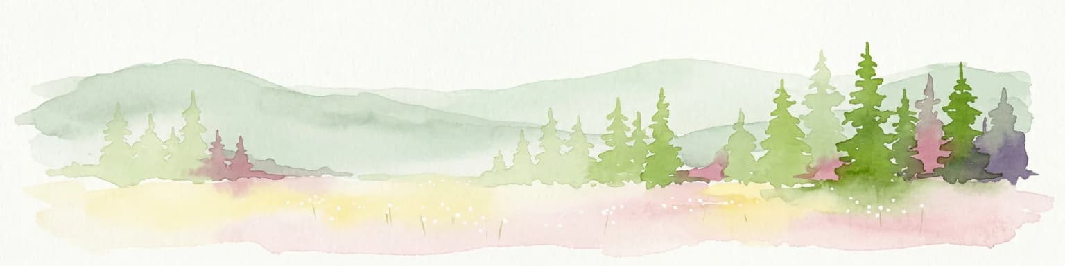
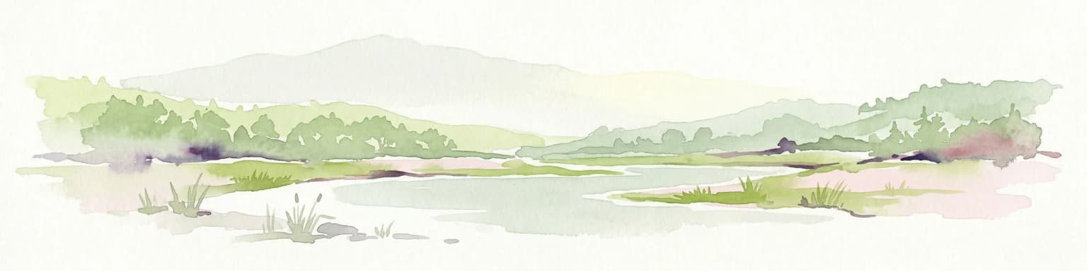
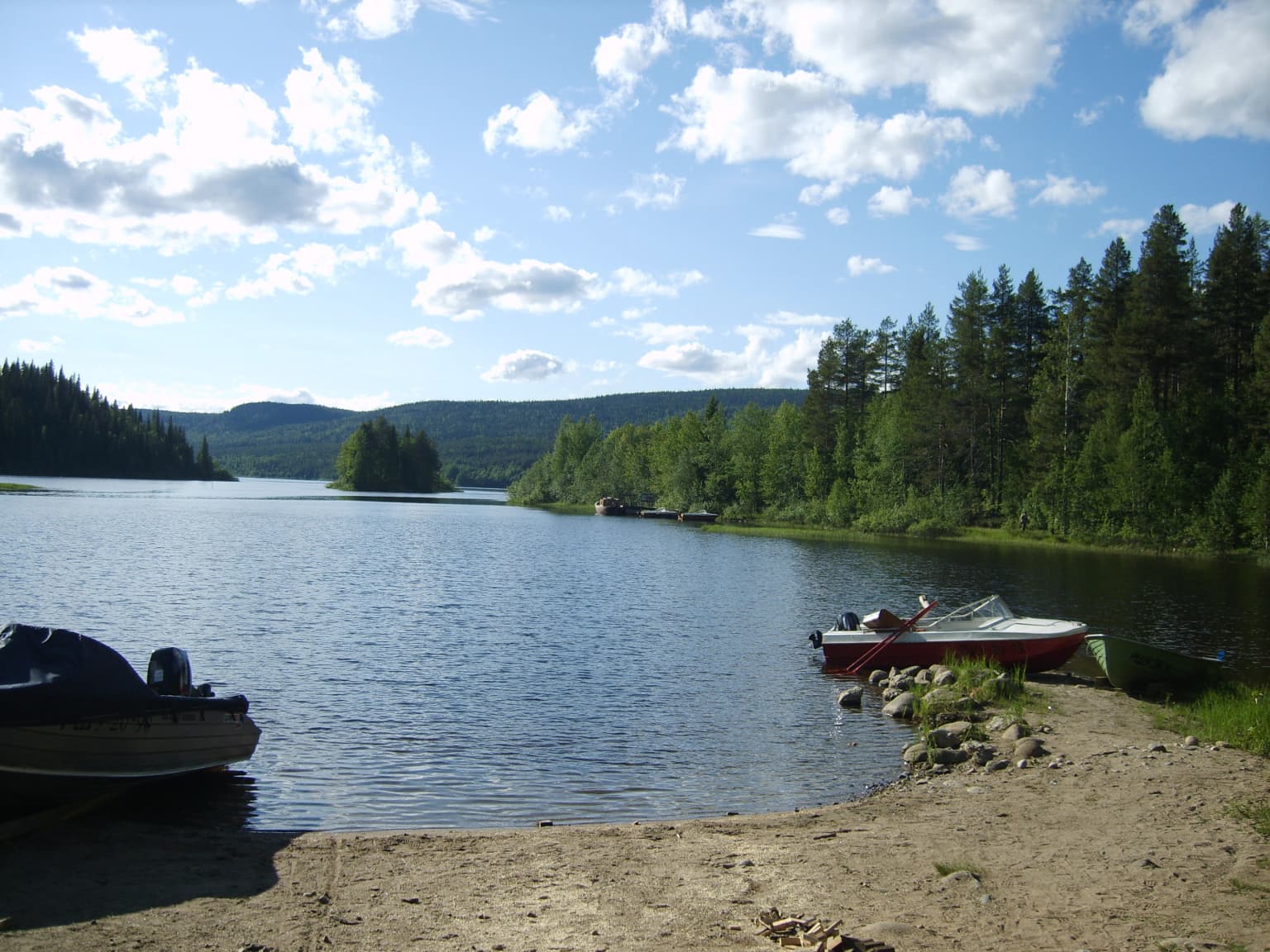
The landscape of Paanajärvi National Park is defined by the rolling hills of the Maanselkä region, a geological formation that extends across the Karelian border area. The terrain rises from approximately 100 meters above sea level in the lake-filled lowlands to the summit of Nuorunen at 347 meters, the highest point in Karelia. This modest but prominent peak rises distinctly above the surrounding forested hills, providing sweeping views across the protected landscape. The park's name translates from Finnish as 'Paanajärvi,' reflecting the numerous lakes that dot the terrain. These water bodies, connected by streams and rivers, create a landscape of islands, peninsulas, and wetlands interspersed with forested ridges. The forest cover is predominantly coniferous, with Norway spruce and Scots pine forming the dominant canopy species, interspersed with birch in younger successional areas. The combination of lake, river, and forest habitats creates a landscape of exceptional visual diversity within the boreal zone.

Paanajärvi National Park ecosystems, habitats, and plant life

Paanajärvi protects a representative example of the Scandinavian and Russian Taiga ecoregion, one of the largest remaining areas of intact boreal forest in Europe. The park's forests range from old-growth stands where centuries-old pines and spruces have persisted without significant disturbance to younger forests that have regenerated following historical fires or windthrow events. The northern boreal climate shapes a ecosystem characterized by long, cold winters and brief but productive growing seasons. Lakes and rivers throughout the park support aquatic ecosystems adapted to the region's oligotrophic waters, which are typically clear and nutrient-poor. The riparian zones where water meets forest create ecologically important transition habitats that support species adapted to both aquatic and terrestrial environments. This combination of forest, wetland, and aquatic habitats makes the park a stronghold for boreal biodiversity.

Paanajärvi National Park wildlife and species highlights

The wildlife of Paanajärvi reflects the classic taiga fauna of northern Europe, with species adapted to the region's harsh seasonal climate. The old-growth forests provide habitat for species dependent on decaying wood and complex forest structure, including various woodpecker species, cavity-nesting birds, and invertebrates that require veteran trees. Mammals common to the Karelian taiga include elk, which frequent the forest edges and wetland areas, along with smaller species such as red squirrels, hares, and mustelids including pine marten and least weasel. The lakes and rivers support fish populations including perch, pike, and grayling, while the wetland areas provide important breeding habitat for waterfowl. The park's position along the Finnish-Russian border means that species distributions reflect both European and Russian biogeographic influences.

Paanajärvi National Park conservation status and protection priorities

Paanajärvi National Park represents a significant conservation achievement in the protection of Europe's boreal forest heritage. The park's inclusion in the PAN Parks network, a certification system recognizing wilderness areas of international significance, confirms its ecological importance and the effectiveness of its protection regime. The park's contiguous boundary with Oulanka National Park in Finland creates a cross-border protected area exceeding 1,500 square kilometers, representing one of the largest continuously protected landscapes in northern Europe. This transboundary cooperation enables the preservation of ecological processes that operate across international boundaries, including wildlife migration, watershed protection, and the maintenance of old-growth forest dynamics across a broad geographical area.

Paanajärvi National Park cultural meaning and human context

The cultural context of Paanajärvi reflects the historical connection between the Karelian region and the broader Finnish cultural sphere. The park's name derives from Finnish, as the area historically fell within zones of Finnish-speaking population before twentieth-century border changes. The landscape has supported traditional livelihoods including fishing, hunting, and forest use for generations, though the protected area status now limits such activities within its boundaries. The region's strategic position along the Finnish-Russian border has given it historical significance, though the current protected status reflects a shift toward peaceful environmental cooperation between the neighboring countries.

Top sights and standout views in Paanajärvi National Park

The defining highlights of Paanajärvi include the opportunity to experience genuine wilderness in one of Europe's most intact boreal landscapes, the chance to climb Nuorunen for views across the highest terrain in Karelia, and the experience of exploring a landscape of lakes, rivers, and old-growth forest that represents the classic Karelian taiga. The park's PAN Parks certification offers assurance of authentic wilderness character and meaningful conservation protection. The cross-border connection to Oulanka National Park creates possibilities for experiencing a transboundary protected area spanning the Finnish-Russian frontier.

Best time to visit Paanajärvi National Park

The best time to visit Paanajärvi National Park coincides with the brief but spectacular Finnish summer, when long daylight hours allow extended exploration of the trail systems and the landscape is at its most accessible. June through August brings warm temperatures, accessible waterways, and the opportunity to experience the full vitality of the boreal growing season. Winter visits offer the contrasting experience of snow-covered taiga, with cross-country skiing and winter wildlife tracking providing alternative ways to explore the frozen landscape. The shoulder seasons of late spring and early autumn bring fewer visitors and the opportunity to witness seasonal transitions in the boreal environment, though weather conditions can be more variable.

Park location guide

Geography guide, regional context, and park location map for Paanajärvi National Park

Paanajärvi National Park park geography, regions, and map view in Russia
Understand where Paanajärvi National Park sits in Russia through a broader geographic reading of the surrounding landscape, nearby location context, and its mapped position within the national park landscape.

How Paanajärvi National Park fits into Russia

Russia is a transcontinental nation spanning eleven time zones, bordered by fourteen countries. It is the world's largest country by area, covering 17,098,246 km². Moscow is the capital and largest city, while Saint Petersburg is the second-largest and a major cultural centre.

Wider geography shaping Paanajärvi National Park in Russia

Russia spans Eastern Europe and North Asia, covering 17,098,246 km². It shares land borders with fourteen countries, more than any other nation, and spans eleven time zones. The landscape includes vast plains, mountain ranges such as the Urals and Caucasus, and extensive coastlines along the Arctic Ocean, Pacific Ocean, Baltic Sea, Black Sea, and Caspian Sea.

Map view of Paanajärvi National Park

Use this park location map to pinpoint Paanajärvi National Park in Russia, understand its exact geographic position, and read its mapped placement within the surrounding landscape more clearly.

Pigeon | © OpenStreetMap contributors

Location context for Paanajärvi National Park

Republic of Karelia

Visually understand the boreal wilderness, lake-dotted terrain, and old-growth forest habitats of Paanajärvi's protected landscapes.

Paanajärvi National Park Photos: Explore Landscapes, Scenery, and Taiga Forest Environments
Browse a curated collection of Paanajärvi National Park photos to visually discover its unique boreal taiga forests, pristine lake district, and distinct Karelian terrain. These images provide essential insights into the park's untouched wilderness, showcasing the characteristic landscapes and diverse habitats that define this significant protected area.

Calm lake with two motorboats on sandy shore, dense coniferous forest, distant mountains, and partly cloudy sky

Park atlas

Trace the Karelian and Nordic protected landscape, mapping other taiga forests and border region protected areas near Paanajärvi National Park.

Explore Nearby National Parks and Protected Areas Connected to Paanajärvi National Park
Continue your exploration from Paanajärvi National Park by browsing other national parks and protected areas across the surrounding Karelian and Fennoscandian boreal region. Compare adjacent wilderness areas, trace connected taiga ecosystems, and understand the regional spread of protected landscapes in Russia and Finland.
National parkLapland

Oulanka National Park: Protected Landscape Atlas and Geographic Context in Lapland

Explore mapped boundaries and regional terrain.

Discover Oulanka National Park as a distinct protected landscape entity within the extensive northern region of Lapland, Finland. This page provides structured geographic information, focusing on the park's mapped area, its regional setting, and its identity as a national park. MoriAtlas facilitates an atlas-driven understanding of Oulanka National Park's place in Finland's protected lands and its inherent natural terrain.

Area
270 km²
Established
1956
IUCN
II
Visitors
187.4K annual
National parkLapland

Riisitunturi National Park: Explore Protected Landscape and Lapland Geography

Mapped boundaries of a national park in northern Finland.

Delve into the protected landscape of Riisitunturi National Park, a key national park situated in the expansive region of Lapland, Finland. This MoriAtlas entry provides detailed geographic context, focusing on the park's mapped boundaries and its role within the natural terrain of northern Finland. Understand its identity as a protected area and its significance within a broader atlas of natural landscapes.

Area
77 km²
Established
1982
IUCN
II
Visitors
58.8K annual
National parkLapland

Salla National Park: Mapped Protected Landscape in Lapland, Finland

Explore its geographic context and protected area identity.

Understand Salla National Park as a distinct protected landscape situated within the expansive northern Finnish region of Lapland. This MoriAtlas entry focuses on its identity as a national park, detailing its mapped boundaries and geographic setting. Discover how Salla National Park contributes to the atlas of protected areas, offering a specific point of reference for exploring the natural terrain and regional geography of this subarctic territory.

Area
99.83 km²
Established
2022
IUCN
II
Visitors
55.9K annual
National parkFinland

Hossa National Park: Detailed National Park and Protected Landscape Geography

Explore mapped boundaries and regional context within Finland.

Delve into the protected landscape of Hossa National Park, a designated national park in Finland. This page provides structured geographic information, focusing on its mapped boundaries and position within the country's natural terrain. Understand how Hossa National Park contributes to the atlas of protected areas in Northern Europe, offering insights into its specific landscape character and regional significance for geographic discovery.

Established
2017
Scope
Terrestrial
Watercolor landscape featuring green hills, pine trees, and a yellowish field
National parkFinland

Syöte National Park: Mapped Protected Landscape and Fell Geography in Finland

Explore Finland's southernmost fell and diverse northern wilderness.

Delve into the protected territory of Syöte National Park, a key national park in northern Finland. This page highlights the park's distinct geographic features, including its southernmost fell, Iso-Syöte, alongside expansive mire systems and old-growth boreal forests. Understand the mapped boundaries and the unique ecological transition zone it represents within the Finnish atlas, offering a comprehensive view of its landscape context and protected area status.

Area
299 km²
Established
2000
IUCN
II
Visitors
88.2K annual
National parkRepublic of Karelia

Kalevalsky National Park: Rare Old-Growth Boreal Forest and Kalevala Epic Landscape

Mapped protected wilderness in the Republic of Karelia

Kalevalsky National Park is a significant protected area within the Republic of Karelia, Russia, safeguarding one of Europe's last remaining old-growth boreal pine forests. This vast national park protects a landscape characterized by numerous lakes, rivers, and marshes resting on ancient Baltic Shield bedrock, offering a clear representation of primeval taiga ecosystems. Its profound cultural ties to the Kalevala epic, Finland's national poem, make it a unique destination for exploring both natural and mythological geography. Understand the park's mapped boundaries and its place within the regional context.

Area
744 km²
Established
2007
IUCN
II
Relief
Lowland
Watercolor illustration showing a lake, rolling hills, and vegetation.
National parkLapland

Pyhä-Luosto National Park: Ancient Geological Heritage and Fell Landscape

Explore Lapland's southernmost large fell system and deep gorges.

Pyhä-Luosto National Park offers a unique window into Finland's deep geological past and its boreal ecosystems. As a protected area, it encompasses a prominent chain of twelve fells composed of two-billion-year-old quartzite, showcasing the southernmost large fell system in the country. The park's landscape is further defined by features like Isokuru, Finland's deepest gorge, and extensive old-growth forests, providing rich context for map-based discovery and regional geographic understanding within Lapland.

Area
142 km²
Established
2005
IUCN
II
Visitors
198.9K annual
National parkMurmansk Oblast

Khibiny National Park: Arctic National Park with Mapped Protected Boundaries in Murmansk Oblast

Explore Murmansk Oblast's unique protected landscape and regional geography.

Delve into the geography and protected landscape of Khibiny National Park, a significant national park situated in Russia's Murmansk Oblast. This resource provides essential details for understanding the park's mapped boundaries, its arctic terrain, and its position within the broader context of the Kola Peninsula's natural geography. Explore Khibiny National Park as a key protected area and a crucial element for atlas-based discovery of Russia's northwestern regions.

Area
848 km²
Established
2018
IUCN
II
Relief
Mountain

Common questions about visiting, size, designation, and location context for Paanajärvi National Park

Paanajärvi National Park FAQs for park facts, access, geography, and protected area context
Find quick answers about Paanajärvi National Park, including protected-area facts, park geography, trail and visitor context, and how the park fits into its surrounding country and regional landscape.
MoriAtlas Explorer

Continue Your Protected Areas Search Across the Global Atlas

Deepen your exploration by continuing the structured search for national parks and protected areas worldwide. Utilize the comprehensive filtering capabilities to compare different conservation landscapes and refine your understanding of global park geography. Discover more about the distribution and characteristics of protected natural areas.

Global natural geography