Mori Atlas logo
National parkBothnian Bay National Park

Map the protected boundaries and geographic context of this unique Finnish national park.

Bothnian Bay National Park: Protected National Park Landscape in Lapland

Bothnian Bay National Park represents a significant protected landscape within the vast geography of Lapland, Finland. As a designated national park, it offers a unique focal point for understanding regional protected areas and their mapped distributions. This MoriAtlas entry provides essential geographic context, allowing for detailed exploration of the park's boundaries and its place within the Lapland region's natural terrain.

archipelagomarine protected areapost-glacial landscapefishing heritageremote wildernessBaltic Sea

Bothnian Bay National Park

National park

Park overview

Structured park overview, official facts, and landscape profile for Bothnian Bay National Park

Bothnian Bay National Park park facts, protected area profile, and essential visitor context
Review the core facts for Bothnian Bay National Park, including designation, size, terrain, visitor scale, habitats, and operating context in one park-focused overview.

About Bothnian Bay National Park

Bothnian Bay National Park occupies a remarkable position at the northern tip of the Gulf of Bothnia, the northern arm of the Baltic Sea. This is Finland's smallest national park by visitor numbers, partly because access is challenging and limited to those with boating experience, but also because the park's protected area is overwhelmingly marine rather than terrestrial. The landscape here is defined by the interaction between water and land, with dozens of islands scattered across a shallow coastal marine environment. These islands are not ancient stable landforms but relatively recent features that have emerged from the sea as the Earth's crust has rebounded following the melting of the last ice age. The process continues today, meaning that the park's geography is genuinely dynamic in timescales relevant to human observation. Around the islands, traditional fishing bases represent a cultural heritage stretching back generations, with the park preserving evidence of long-established relationships between local communities and this productive marine environment. The entire area constitutes what Finns recognize as a cultural landscape shaped by traditional land use, though activities like hunting are now prohibited within the park boundaries.

Quick facts and research context for Bothnian Bay National Park

Bothnian Bay National Park lies in Finnish Lapland, at the northernmost extremity of the Gulf of Bothnia. Established in 1991, it covers approximately 157 square kilometers with the overwhelming majority being marine or island environments rather than mainland terrain. The park is managed by Metsähallitus, Finland's state-owned enterprise for wildlife and forestry management. The islands scattered throughout the park are products of post-glacial rebound, a geological process that continues to this day, causing land to rise and coastlines to evolve. Traditional fishing has shaped the cultural landscape here for generations, and the park contains numerous historic fishing bases. Access is exclusively by boat, and the park is considered suitable only for experienced boaters. With around 6,300 visitors in 2024, it ranks among Finland's quieter and more remote national parks.

Park context

Deeper park guide and search-rich context for Bothnian Bay National Park

Bothnian Bay National Park history, landscape, wildlife, and travel context
Explore Bothnian Bay National Park through its history, landscape character, ecosystems, wildlife, conservation priorities, cultural context, and seasonal travel timing in a structured park guide built for atlas discovery and search intent.

Why Bothnian Bay National Park stands out

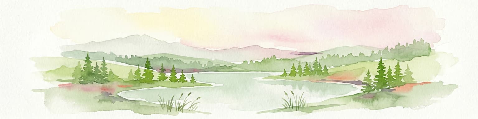
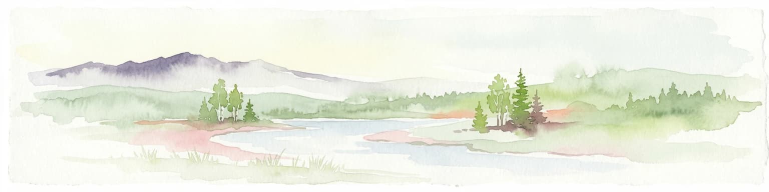
Bothnian Bay National Park is best known for its extraordinary geological character: an archipelago of islands that are actively being created by ongoing post-glacial rebound. Unlike most national parks with relatively stable terrain, this park's landscape is visibly and measurably changing as new land emerges from the sea over time. The park also preserves an extensive traditional cultural landscape centered on fishing, with numerous historic fishing bases dotting the islands. Its extreme northern location and largely maritime character make it one of Finland's most distinctive protected areas, quite different from the forest-dominated parks found elsewhere in the country. The underwater nature trail for divers adds another unique dimension to what the park offers.

Snow-covered landscape with frozen bay, bare bushes, and a person walking in the distance under a clear blue sky.
View of Bothnian Bay in Kemi, Finland.

Bothnian Bay National Park history and protected-area timeline

Bothnian Bay National Park was established in 1991 as part of Finland's commitment to expanding its national park network and protecting representative samples of the country's diverse natural environments. The creation of the park reflected recognition that the unique archipelago landscape of the Gulf of Bothnia, with its ongoing geological processes and traditional cultural uses, warranted formal protection. Metsähallitus was designated as the managing authority, responsible for balancing conservation objectives with sustainable recreation opportunities. The park's establishment came during a period when Finland was developing its modern approach to protected area management, drawing on both scientific understanding of ecological values and appreciation for cultural landscapes shaped by traditional practices like fishing. In the decades since, visitor infrastructure has been developed including trip harbors and shelter ports that have made the park more accessible to boat-based recreation while maintaining the essential character of a wilderness area requiring self-sufficiency and experience.

Bothnian Bay National Park landscape and geographic character

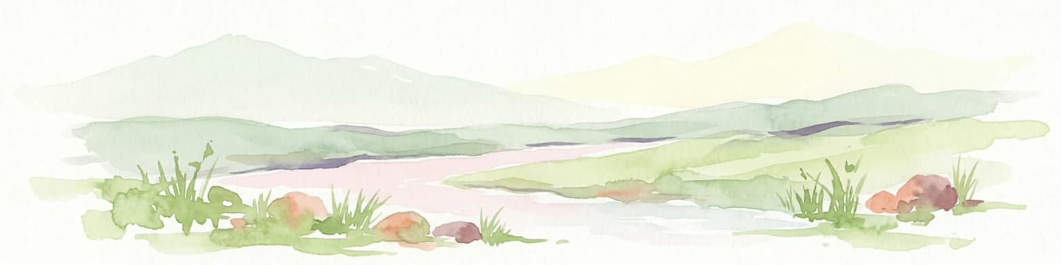
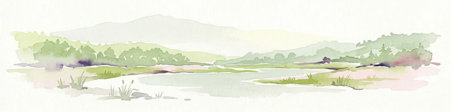
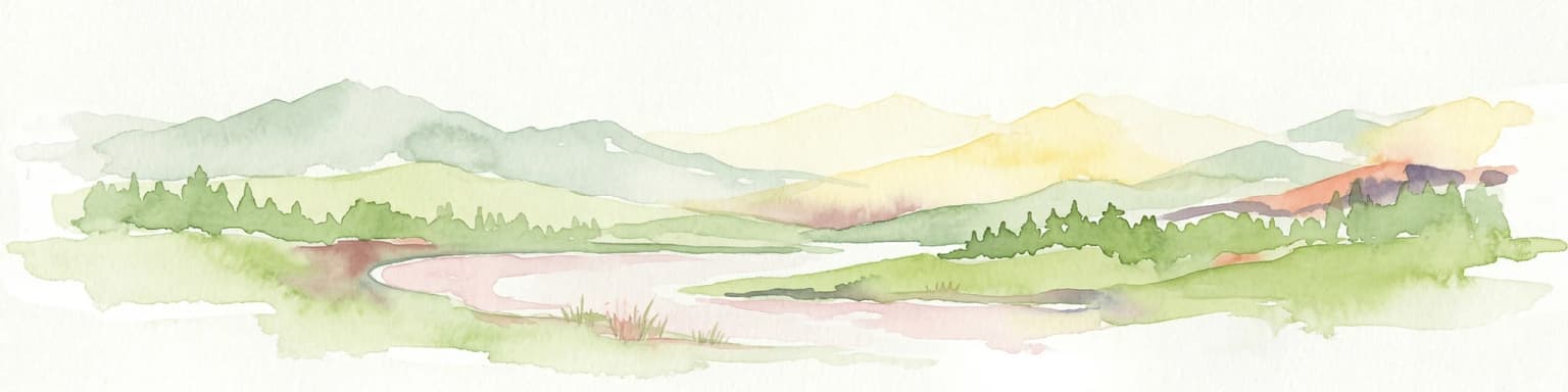
The landscape of Bothnian Bay National Park is dominated by water and island environments rather than traditional terrestrial terrain. The islands themselves are low-lying and often barely emerge above the sea, creating a landscape of extensive wetlands, shallow bays, and intricate shorelines. These islands have formed through the process of post-glacial rebound, where the land previously depressed by the weight of glacial ice has been slowly rising since the ice retreated approximately 10,000 years ago. This geological process continues actively in the region, meaning that islands may expand, new land may emerge, and coastlines may shift over time. The scenery is characterized by open maritime views, changing water levels, and the subtle interplay between sea and land. The overall impression is one of vast horizontal space punctuated by the vertical presence of islands, with the far northern light creating distinctive atmospheric conditions. Traditional fishing structures and bases on the islands add human elements to this natural landscape without dominating it.

Bothnian Bay National Park ecosystems, habitats, and plant life

The nature of Bothnian Bay National Park is defined by its position at the interface between marine and terrestrial environments in the far north of the Baltic Sea region. The marine environment supports characteristic Baltic Sea species adapted to brackish water conditions, while the emerging islands host early-succession vegetation adapted to newly exposed land. The wetlands and shallow bays provide important habitats for waterfowl and migratory birds that use the Baltic Sea flyway. The park's location in the subarctic zone means that seasonal variations strongly influence the character of the environment, with brief summers and long winters creating distinct ecological rhythms. The ongoing geological process of land emergence means that habitats are in a constant state of succession, with older islands developing more established vegetation while newer land remains in earlier stages of colonization. This creates a mosaic of habitat types across the archipelago that supports diverse ecological communities.

Bothnian Bay National Park wildlife and species highlights

Wildlife in Bothnian Bay National Park reflects the park's maritime and northern character. The marine waters support fish species important both ecologically and for the traditional fishing that has shaped the cultural landscape. The islands and wetlands provide breeding and resting habitat for various waterfowl species, particularly during the migratory seasons when the Baltic flyway brings substantial bird activity to the area. The shallow bays and archipelago waters are productive for fish and attract predatory birds that hunt in these environments. While the park is not known for large terrestrial mammals, the coastal and island environments support their own distinctive assemblages of species adapted to the challenging conditions of this northern marine landscape.

Bothnian Bay National Park conservation status and protection priorities

Bothnian Bay National Park represents protection of a rare and dynamic geomorphological process within Finland's protected area network. The ongoing post-glacial rebound creates a landscape in active transformation, making this one of the few places in Europe where visitors can observe geological processes of land formation occurring in real time. The conservation value extends to the marine environment of the Gulf of Bothnia, which supports distinctive Baltic Sea ecosystems adapted to the brackish conditions of this semi-enclosed sea. The park also preserves cultural landscape values through its traditional fishing bases, representing human relationships with this maritime environment that span generations. The prohibition on hunting within the park boundaries reflects a management approach that prioritizes wildlife conservation and maintains the natural character of the area. The designation as an IUCN Category II protected area places it within the framework of national parks that aim to protect natural ecosystems while allowing for compatible recreational use.

Bothnian Bay National Park cultural meaning and human context

The cultural context of Bothnian Bay National Park is deeply intertwined with traditional fishing in the Gulf of Bothnia. The numerous fishing bases scattered across the islands represent generations of human presence in this challenging maritime environment. These structures and their associated cultural practices reflect a way of life that adapted to the seasonal rhythms of fishing, the challenges of northern waters, and the opportunities presented by the productive marine environment of the gulf. The entire archipelago area is recognized as a traditional cultural landscape, not merely a natural environment, with the cultural dimension being integral to understanding the park's character and significance. This human heritage coexists with the ongoing geological processes that continue to shape the islands, creating a layered landscape where natural transformation and cultural continuity intersect.

Top sights and standout views in Bothnian Bay National Park

The primary highlight of Bothnian Bay National Park is its unique dynamic landscape shaped by ongoing post-glacial rebound, making it a living laboratory of geological change. The opportunity to explore an archipelago where islands are visibly emerging and coastlines are actively shifting represents a genuinely distinctive experience among European protected areas. Traditional fishing bases provide cultural highlights that connect visitors to historical uses of these waters. For divers, the underwater nature trail offers access to the marine environment in a structured way. The remote and challenging access itself becomes part of the experience, appealing to those seeking a wilder and less visited national park compared to more accessible alternatives.

Best time to visit Bothnian Bay National Park

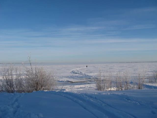
The best time to visit Bothnian Bay National Park corresponds to the Finnish summer season, typically from June through August, when daylight is abundant and temperatures are mild enough for comfortable outdoor activity. During this period the waters are accessible for boating, though visitors must be experienced boaters capable of handling the conditions. The short northern summer brings extended twilight hours that create distinctive lighting conditions across the archipelago landscape. Winter visits are not practical for most visitors given the park's marine character and the frozen conditions that prevail. The shoulder seasons of late spring and early autumn offer different experiences but come with more challenging weather and boating conditions. Given the park's small visitor numbers and remote character, those who do visit during the peak summer season will find a wilderness experience quite different from Finland's more heavily visited national parks.

Park location guide

Geography guide, regional context, and park location map for Bothnian Bay National Park

Bothnian Bay National Park park geography, regions, and map view in Finland
Understand where Bothnian Bay National Park sits in Finland through a broader geographic reading of the surrounding landscape, nearby location context, and its mapped position within the national park landscape.

How Bothnian Bay National Park fits into Finland

Finland, officially the Republic of Finland, is a Nordic country in Northern Europe with a population of 5.6 million. It borders Sweden, Norway, and Russia, with the Gulf of Bothnia to the west and the Gulf of Finland to the south. The country gained independence from Russia in 1917 and is a unitary parliamentary republic. Its landscape is characterized by extensive boreal forests and over 180,000 lakes.

Wider geography shaping Bothnian Bay National Park in Finland

Finland is located in Northern Europe, occupying a peninsula bordered by the Gulf of Bothnia to the west and the Gulf of Finland to the south. It shares land borders with Sweden to the northwest, Norway to the north, and Russia to the east. The terrain is predominantly flat with extensive forest coverage and numerous lakes.

Map view of Bothnian Bay National Park

Use this park location map to pinpoint Bothnian Bay National Park in Finland, understand its exact geographic position, and read its mapped placement within the surrounding landscape more clearly.

Pigeon | © OpenStreetMap contributors

Location context for Bothnian Bay National Park

Lapland

Discover the unique archipelago and dynamic coastal terrain of this Finnish national park through a curated visual gallery.

Bothnian Bay National Park: Explore Visual Landscapes, Scenery, and Protected-Area Photos
Browse an extensive collection of Bothnian Bay National Park photos to visually grasp its distinct maritime and island environments. These images illustrate the unique post-glacial rebound landscape, highlighting actively changing shorelines, low-lying islands, and the subarctic archipelago character that defines this remarkable protected area.

Snow-covered landscape with frozen bay, bare bushes, and a person walking in the distance under a clear blue sky.

Park atlas

Compare a curated list of protected areas, tracing geographic connections and diverse landscapes across the wider Lapland region.

Explore Nearby National Parks and Protected Areas in Lapland After Bothnian Bay National Park
After exploring the unique maritime environment of Bothnian Bay National Park, browse other national parks and protected areas in Lapland and surrounding northern regions. This curated selection allows you to compare diverse landscapes, from dynamic post-glacial archipelagos to expansive boreal forests and fells, offering a deeper understanding of Finland's distinct northern conservation geography.
National parkNorrbotten County

Haparanda Archipelago National Park: A Northern Baltic Coastal Protected Landscape

Explore emergent islands, sand dunes, and unique coastal geography.

Haparanda Archipelago National Park in Norrbotten County is a distinctive protected landscape characterized by its recent geological emergence and unusual sand dune formations along the northern Baltic coast. This national park offers a unique perspective on coastal geography, with islands steadily rising from the sea. MoriAtlas users can explore its mapped boundaries, understand its dynamic terrain, and appreciate its role as a significant protected area within Sweden's unique archipelagic environments.

Area
60 km²
Established
1995
IUCN
II
Relief
Lowland
Watercolor illustration of a landscape with hills, a lake, trees, and a sunset
National parkNorthern Ostrobothnia

Rokua National Park: Mapping Finland's Glacial Heritage and Protected Landscapes

Discover unique geological formations and ancient boreal forests.

Rokua National Park in Northern Ostrobothnia offers a unparalleled glimpse into glacial history, designated as a UNESCO Global Geopark. Explore its mapped esker ridges, dramatic kettle holes like Syvyydenkaivo, and the ancient pine forests that thrive on its nutrient-poor soils. This protected landscape provides a rich context for understanding Quaternary geology and the development of northern Finnish natural environments, ideal for atlas-based geographic discovery.

Area
8.8 km²
Established
1956
IUCN
II
Visitors
50.7K annual
Watercolor landscape featuring green hills, pine trees, and a yellowish field
National parkFinland

Syöte National Park: Mapped Protected Landscape and Fell Geography in Finland

Explore Finland's southernmost fell and diverse northern wilderness.

Delve into the protected territory of Syöte National Park, a key national park in northern Finland. This page highlights the park's distinct geographic features, including its southernmost fell, Iso-Syöte, alongside expansive mire systems and old-growth boreal forests. Understand the mapped boundaries and the unique ecological transition zone it represents within the Finnish atlas, offering a comprehensive view of its landscape context and protected area status.

Area
299 km²
Established
2000
IUCN
II
Visitors
88.2K annual
Watercolor illustration showing a lake, rolling hills, and vegetation.
National parkLapland

Pyhä-Luosto National Park: Ancient Geological Heritage and Fell Landscape

Explore Lapland's southernmost large fell system and deep gorges.

Pyhä-Luosto National Park offers a unique window into Finland's deep geological past and its boreal ecosystems. As a protected area, it encompasses a prominent chain of twelve fells composed of two-billion-year-old quartzite, showcasing the southernmost large fell system in the country. The park's landscape is further defined by features like Isokuru, Finland's deepest gorge, and extensive old-growth forests, providing rich context for map-based discovery and regional geographic understanding within Lapland.

Area
142 km²
Established
2005
IUCN
II
Visitors
198.9K annual
National parkLapland

Riisitunturi National Park: Explore Protected Landscape and Lapland Geography

Mapped boundaries of a national park in northern Finland.

Delve into the protected landscape of Riisitunturi National Park, a key national park situated in the expansive region of Lapland, Finland. This MoriAtlas entry provides detailed geographic context, focusing on the park's mapped boundaries and its role within the natural terrain of northern Finland. Understand its identity as a protected area and its significance within a broader atlas of natural landscapes.

Area
77 km²
Established
1982
IUCN
II
Visitors
58.8K annual
National parkNorrbotten County

Muddus National Park: Explore Sweden's Largest Old-Growth Protected Forest Landscape

Mapped boreal terrain with ancient pines and dramatic ravines.

Muddus National Park is a landmark protected area in Norrbotten County, celebrated for its immense scale and preserved old-growth forest character. This national park features a unique geography defined by ancient coniferous forests, including Sweden's oldest pine tree, alongside striking ravines and extensive mire systems. As part of the Laponian Area UNESCO World Heritage Site, Muddus offers an unparalleled opportunity for atlas-based discovery of an undisturbed boreal ecosystem accessible solely by foot, highlighting its profound natural and mapped landscape significance.

Area
493.4 km²
Established
1942
IUCN
II
Relief
Upland
National parkFinland

Hossa National Park: Detailed National Park and Protected Landscape Geography

Explore mapped boundaries and regional context within Finland.

Delve into the protected landscape of Hossa National Park, a designated national park in Finland. This page provides structured geographic information, focusing on its mapped boundaries and position within the country's natural terrain. Understand how Hossa National Park contributes to the atlas of protected areas in Northern Europe, offering insights into its specific landscape character and regional significance for geographic discovery.

Established
2017
Scope
Terrestrial
National parkLapland

Oulanka National Park: Protected Landscape Atlas and Geographic Context in Lapland

Explore mapped boundaries and regional terrain.

Discover Oulanka National Park as a distinct protected landscape entity within the extensive northern region of Lapland, Finland. This page provides structured geographic information, focusing on the park's mapped area, its regional setting, and its identity as a national park. MoriAtlas facilitates an atlas-driven understanding of Oulanka National Park's place in Finland's protected lands and its inherent natural terrain.

Area
270 km²
Established
1956
IUCN
II
Visitors
187.4K annual

Common questions about visiting, size, designation, and location context for Bothnian Bay National Park

Bothnian Bay National Park FAQs for park facts, access, geography, and protected area context
Find quick answers about Bothnian Bay National Park, including protected-area facts, park geography, trail and visitor context, and how the park fits into its surrounding country and regional landscape.
MoriAtlas Explorer

Continue Your Protected Areas Search Across the Global Atlas

Deepen your exploration by continuing the structured search for national parks and protected areas worldwide. Utilize the comprehensive filtering capabilities to compare different conservation landscapes and refine your understanding of global park geography. Discover more about the distribution and characteristics of protected natural areas.

Global natural geography