Mori Atlas logo
National parkUrho Kekkonen National Park

Discover the mapped terrain, fell formations, and wilderness boundaries of this expansive national park.

Urho Kekkonen National Park: A Sprawling Arctic Protected Landscape in Lapland, Finland

Urho Kekkonen National Park stands as a significant protected area within Finland's northern Lapland region, covering approximately 2,550 square kilometers of dramatic Arctic terrain. Established in 1983, this national park offers a unique atlas-level exploration of rolling fell landscapes, extensive boreal forests, and vast peat bogs, all situated well within the Arctic Circle. Its varied geography, including the iconic Paratiisikuru valley and the Saariselkä fell line, provides a rich context for understanding northern wilderness and protected land distribution.

National ParksFinlandLaplandArctic WildernessFell TerrainBoreal Forests
Stylized illustration of a landscape with waterfall, lake, mountains, coniferous trees, and a setting sun under partly cloudy sky

Urho Kekkonen National Park

National park

Park overview

Structured park overview, official facts, and landscape profile for Urho Kekkonen National Park

Urho Kekkonen National Park park facts, protected area profile, and essential visitor context
Review the core facts for Urho Kekkonen National Park, including designation, size, terrain, visitor scale, habitats, and operating context in one park-focused overview.

About Urho Kekkonen National Park

Urho Kekkonen National Park stands as one of Finland's premier protected wilderness areas, embodying the remote, untamed character of Arctic Lapland. The park's vast expanse encompasses multiple distinct landscape zones, from the rounded, heather-covered fells of the Saariselkä ridge to extensive marshlands and coniferous forests that blanket the lower terrain. The Paratiisikuru valley, visible from the top of Ukselmapää fell, ranks among the park's most spectacular natural features, a deep ravine carved by ancient glacial forces. The park's eastern portions remain genuinely remote, with limited infrastructure and true wilderness character preserved for those willing to venture beyond established trails. Several established trailheads serve visitors, including Kiilopää fell center, the Aittajärvi area along the Suomujoki river, and the Raja-Jooseppi border crossing zone. Trekkers frequently traverse the park to reach the Saariselkä resort area, with Sokosti, the highest fell in the region, serving as a demanding but rewarding destination. The park's name honors President Urho Kekkonen, who served Finland for decades as both Prime Minister and President and who championed conservation efforts during his tenure.

Quick facts and research context for Urho Kekkonen National Park

Urho Kekkonen National Park covers roughly 2,550 square kilometers in northern Finnish Lapland, making it the second-largest national park in Finland. The park receives approximately 435,900 visitors annually, placing it among the country's most visited protected areas. It was established in 1983 and is managed by Metsähallitus as part of the UK-puisto-Sompio-Kemihaara Natura 2000 network. The highest point within the park is Sokosti fell, part of the Saariselkä fell line that runs through the area.

Park context

Deeper park guide and search-rich context for Urho Kekkonen National Park

Urho Kekkonen National Park history, landscape, wildlife, and travel context
Explore Urho Kekkonen National Park through its history, landscape character, ecosystems, wildlife, conservation priorities, cultural context, and seasonal travel timing in a structured park guide built for atlas discovery and search intent.

Why Urho Kekkonen National Park stands out

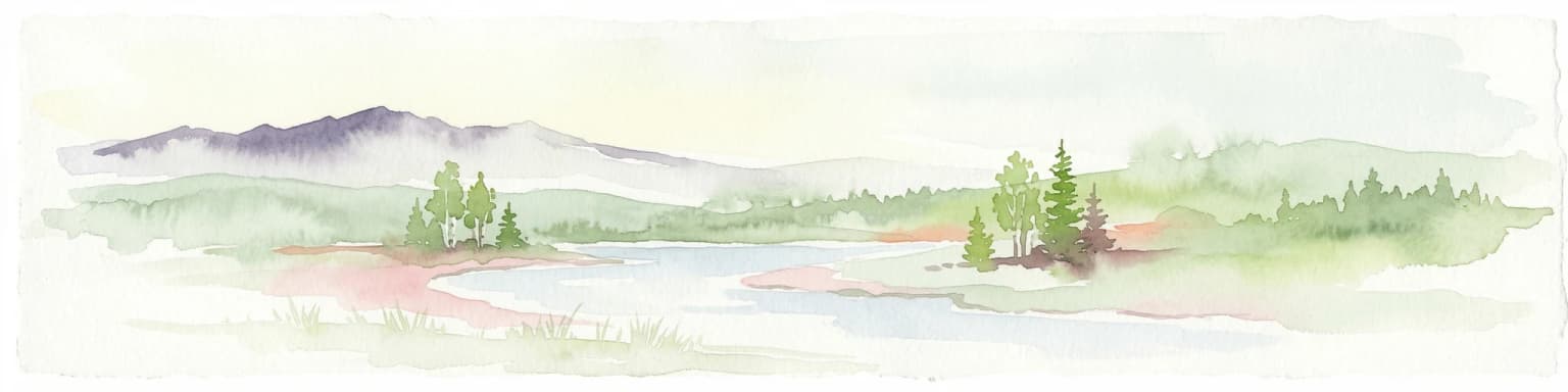
Urho Kekkonen National Park is best known for its dramatic fell landscapes, particularly the Paratiisikuru valley, a striking defile surrounded by towering fell walls. The park is also renowned for its dual personality: the accessible western section with marked trails and wilderness huts suitable for beginners, contrasting with the wild eastern wilderness for experienced trekkers seeking solitude. The Saariselkä fell line, including the summit of Sokosti, represents the park's most iconic alpine scenery. Traditional reindeer herding remains an active practice throughout the area, with evidence of Sami cultural heritage visible in historic settlements and landscape features.

Lake surrounded by pine trees with wooden structure on shore, mist over distant hills, and clear sky
Frosty autumn morning at Harrijärvi lake in Urho Kekkonen National Park, Finland

Urho Kekkonen National Park history and protected-area timeline

Urho Kekkonen National Park was established in 1983, created to protect the significant wilderness and cultural landscape of northern Lapland. The park was named in honor of Urho Kekkonen, who served as Finland's President from 1956 to 1982 and previously as Prime Minister, making him one of the nation's longest-serving leaders. The timing of the park's creation reflected a growing environmental consciousness in Finland during the late 20th century, as the country sought to preserve its northern wilderness heritage. The area had long been important for traditional reindeer herding, and the establishment of the protected area sought to balance conservation goals with the continuation of Sami cultural practices. In 1988, the Finnish Postal Service issued a stamp commemorating the national park, further cementing its cultural significance. The park is now managed by Metsähallitus, the Finnish state enterprise responsible for managing state-owned lands and waters.

Urho Kekkonen National Park landscape and geographic character

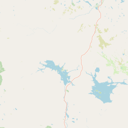
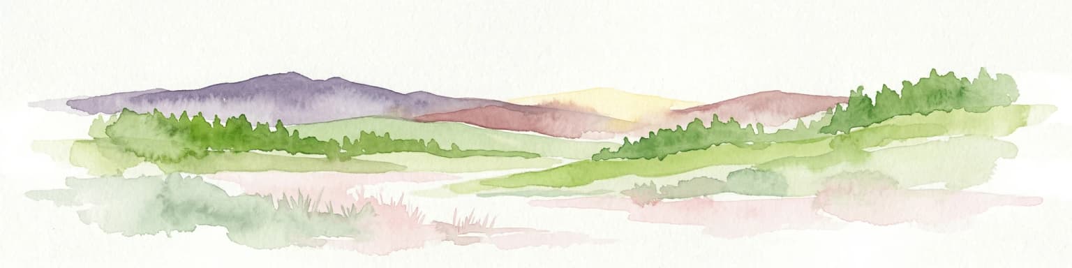
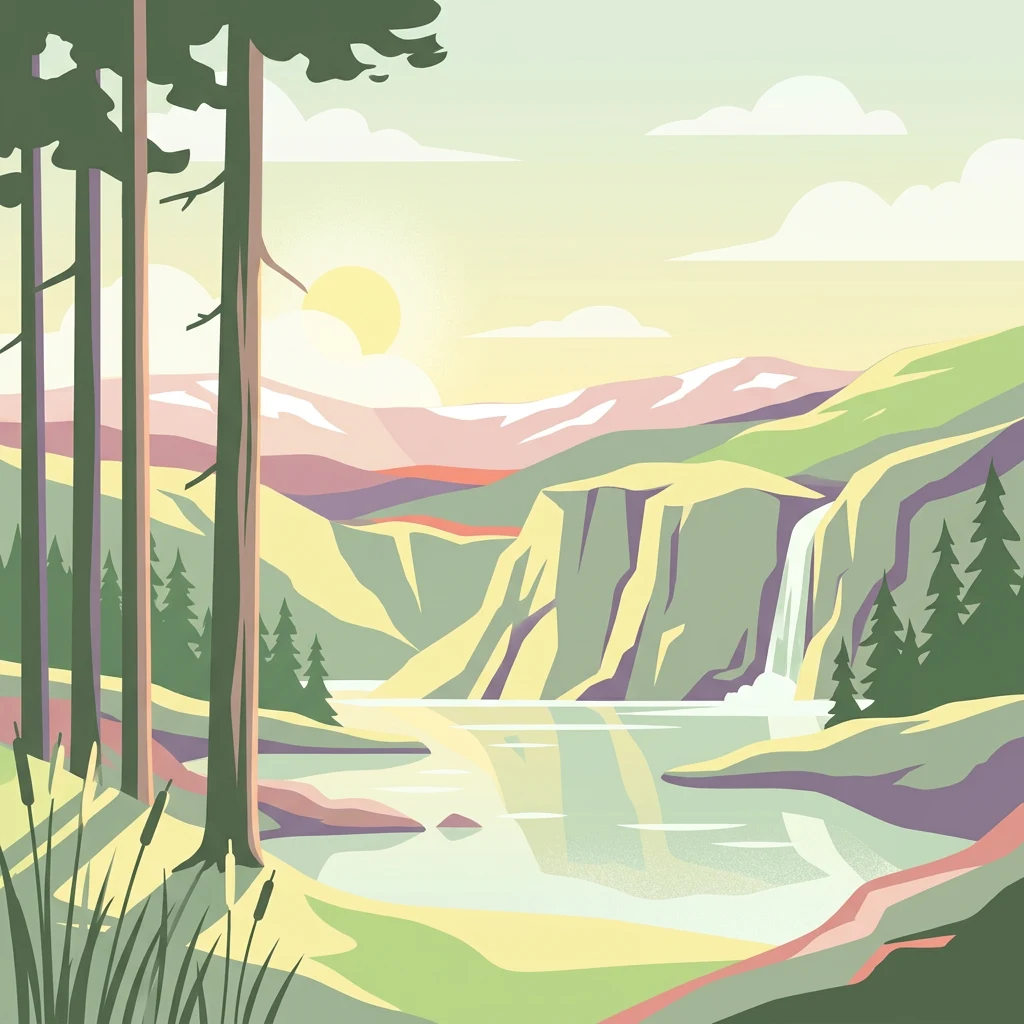
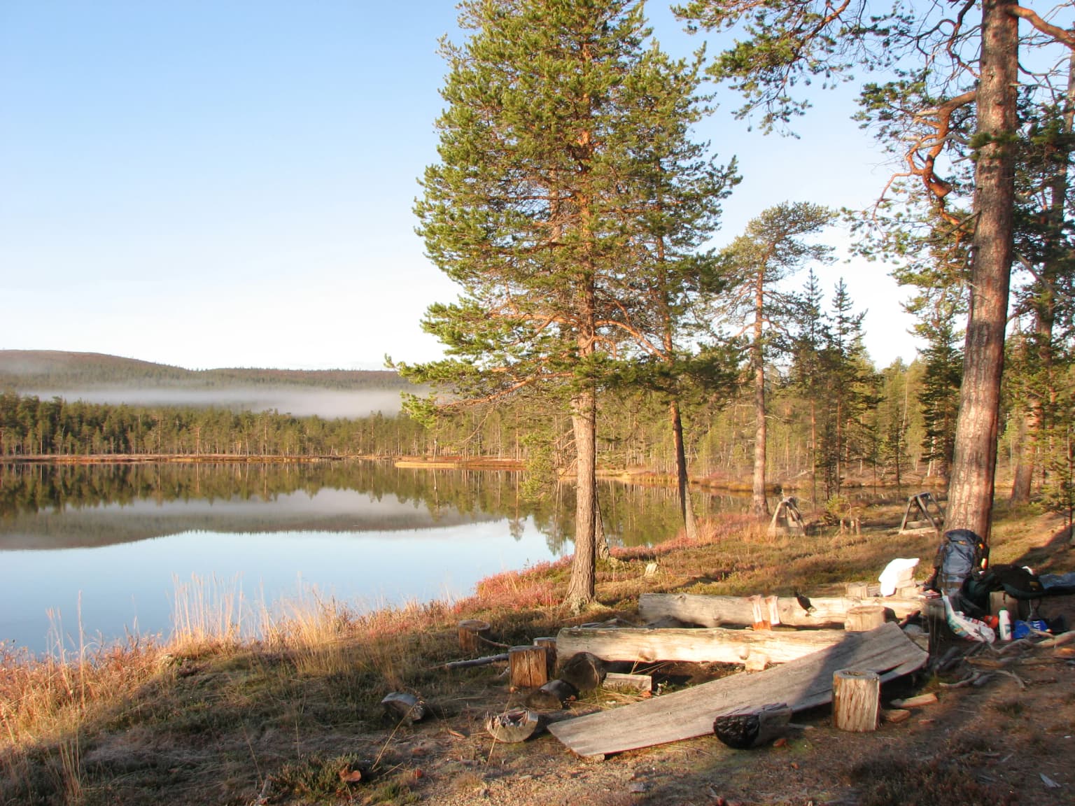
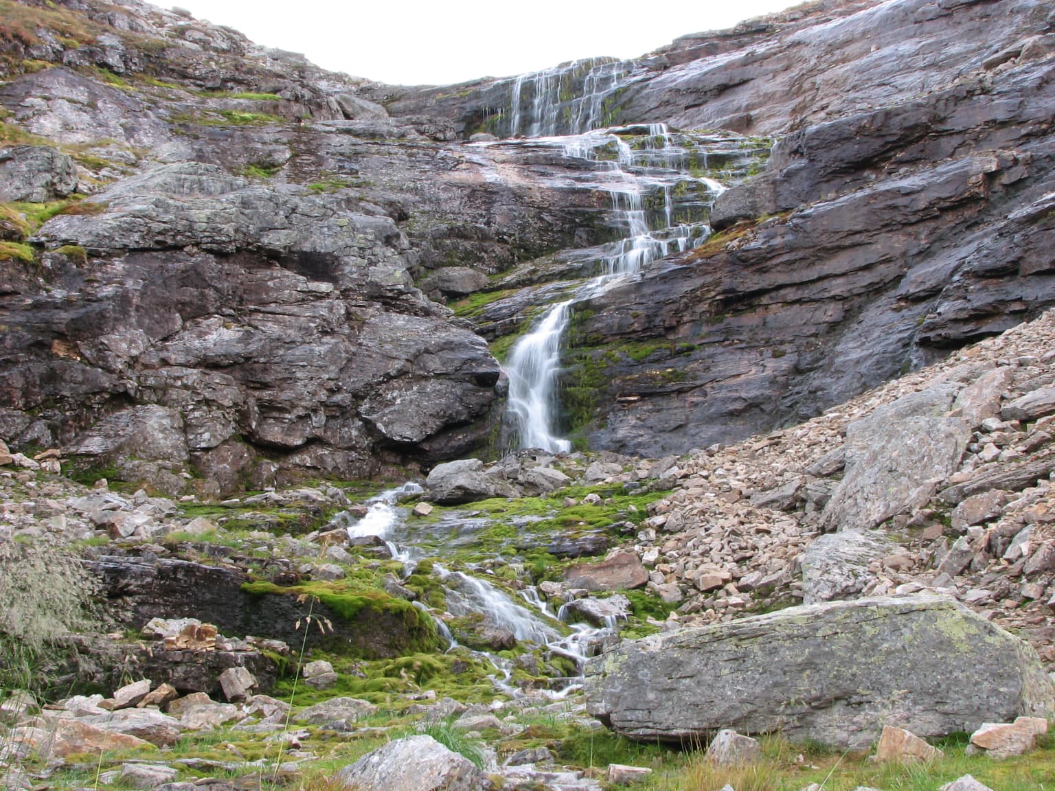
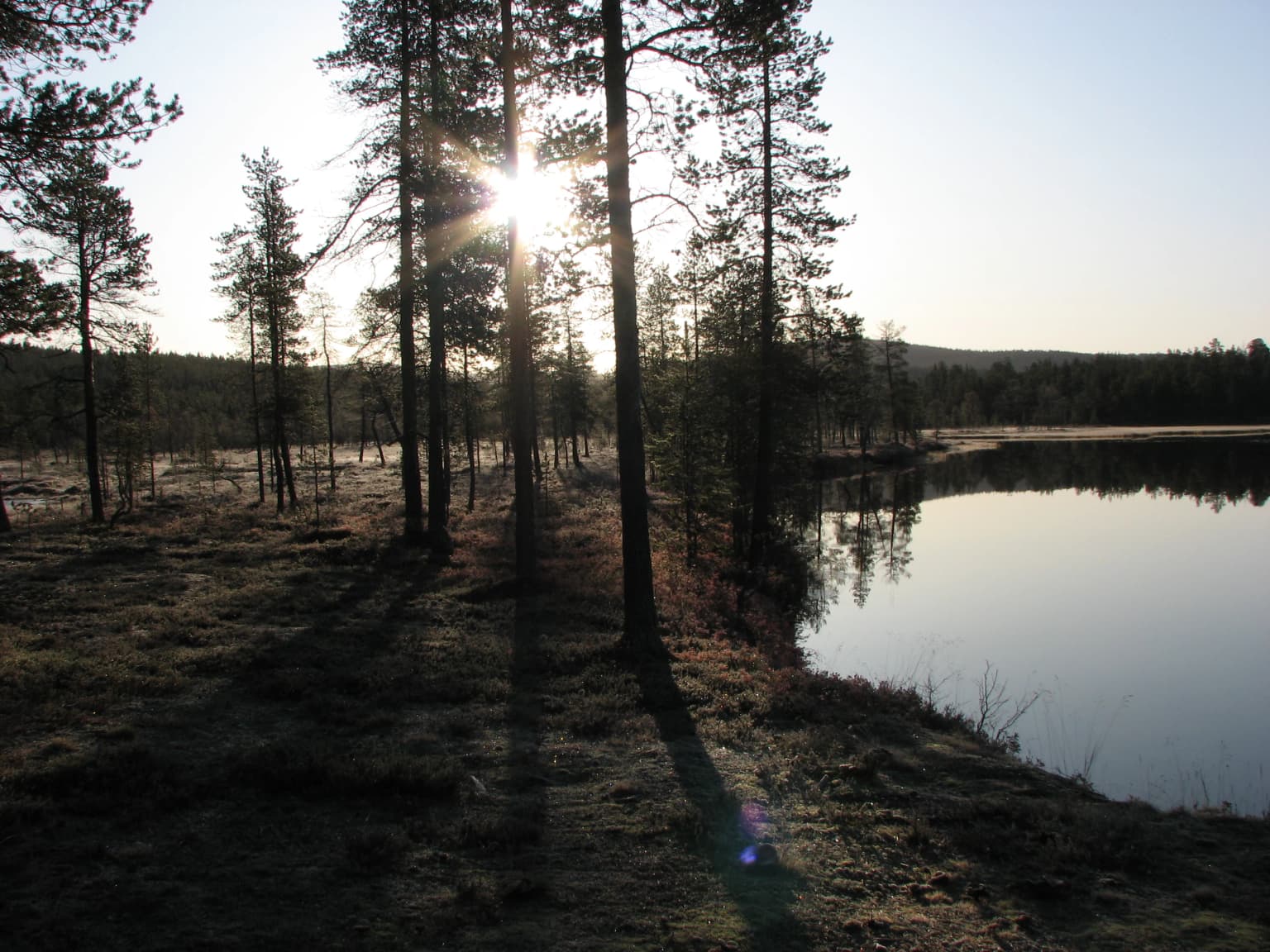
The landscape of Urho Kekkonen National Park displays the classic characteristics of northern Finnish Lapland, dominated by rounded fells (tunturi) rising above the treeline, extensive forested areas below, and scattered marshlands throughout. The Saariselkä fell line runs through the heart of the park, with multiple peaks including Ukselmapää and the highest summit, Sokosti, standing as important landmarks. Between the fell ridges lie deep valleys such as Paratiisikuru, where waterfalls cascade and the terrain drops dramatically below the surrounding plateau. The Suomujoki river flows northward through the park's northern sections, creating a green corridor of riparian vegetation through the otherwise boreal landscape. Lakes such as Harrijärvi and Luirojärvi dot the terrain, their shorelines often hosting wilderness huts for trekkers. The western portions of the park feature more gentle terrain with established trails, while the eastern reaches offer true Arctic wilderness with minimal infrastructure.

Waterfall cascading down rocky cliffs with moss-covered stones and scattered boulders
Paratiisikuru waterfall in Urho Kekkonen National Park

Urho Kekkonen National Park ecosystems, habitats, and plant life

The nature of Urho Kekkonen National Park reflects the transition between boreal forest and Arctic tundra ecosystems characteristic of northern Finland. The lower elevations support coniferous forests of pine and spruce, gradually thinning as elevation increases until the terrain transitions to fell heath above the treeline. Extensive peat bogs and marshlands (suo) occupy the flatter terrain between fells, representing important wetland habitats within the park. The river valleys and lake shores provide additional habitat diversity, supporting vegetation communities distinct from the surrounding boreal forest. The park forms part of a larger network of protected areas in northern Finland, connected to the UK-puisto-Sompio-Kemihaara Natura 2000 site that spans multiple conservation areas. This ecological connectivity helps preserve the broader landscape patterns and species movements that characterize Finland's northern wilderness.

Log cabin structure with wooden steps, surrounded by trees and grass
Rumakurun Tupa day hut in Saariselkä, Urho Kekkonen National Park

Urho Kekkonen National Park wildlife and species highlights

Wildlife in Urho Kekkonen National Park reflects the boreal and Arctic species communities found throughout Finnish Lapland. Reindeer, semi-domesticated and managed by local Sami herders, roam throughout the area and represent both a cultural tradition and a visible component of the park's fauna. The forests support populations of common boreal species including various small mammals and the birdlife associated with coniferous woodland. The open fell areas and wetlands provide habitat for bird species adapted to more open Arctic conditions. The rivers and lakes support fish populations that have traditionally provided food resources for local communities. While the English source materials provide limited specific species details, the Finnish source notes reindeer herding as a prominent feature, and the broader Lapland landscape is known for species including Arctic foxes, hares, and various grouse species that inhabit the fell and forest zones.

Frozen lake surrounded by pine trees with sunlight filtering through trees, early morning light
Frosty autumn morning at Harrijärvi lake

Urho Kekkonen National Park conservation status and protection priorities

Urho Kekkonen National Park represents one of Finland's most significant protected areas, designated under IUCN Category II for national park protection. The park forms part of the UK-puisto-Sompio-Kemihaara Natura 2000 network, a European Union coordinated system of protected areas designed to conserve biodiversity across member states. This designation reflects the park's importance for maintaining viable populations of species and habitat types characteristic of northern Finnish wilderness. The establishment and ongoing management of the park reflects Finland's commitment to preserving its northern natural heritage while allowing for sustainable recreation and the continuation of traditional practices such as reindeer herding. Metsähallitus manages the park with the dual goals of nature conservation and providing opportunities for compatible outdoor recreation.

Urho Kekkonen National Park cultural meaning and human context

The cultural context of Urho Kekkonen National Park is deeply intertwined with the traditions of the Sami people, Finland's indigenous population whose ancestral lands extend across northern Fenno-Scandia. Reindeer herding remains an active and central livelihood in the park's surroundings, with the landscape containing evidence of this traditional practice including reindeer fences, wilderness cabins (kämppiä), and historic settlement areas. The Finnish source specifically references restored Kolttakenttä settlements, indicating the presence of Skolt Sami cultural heritage within the park's boundaries. The park's establishment in 1983 during President Kekkonen's later years also reflects the intersection of national identity, environmental values, and the recognition of northern Finland's distinctive character within the Finnish state. The park name itself honors a leader who was deeply associated with Finnish Lapland and its development.

Top sights and standout views in Urho Kekkonen National Park

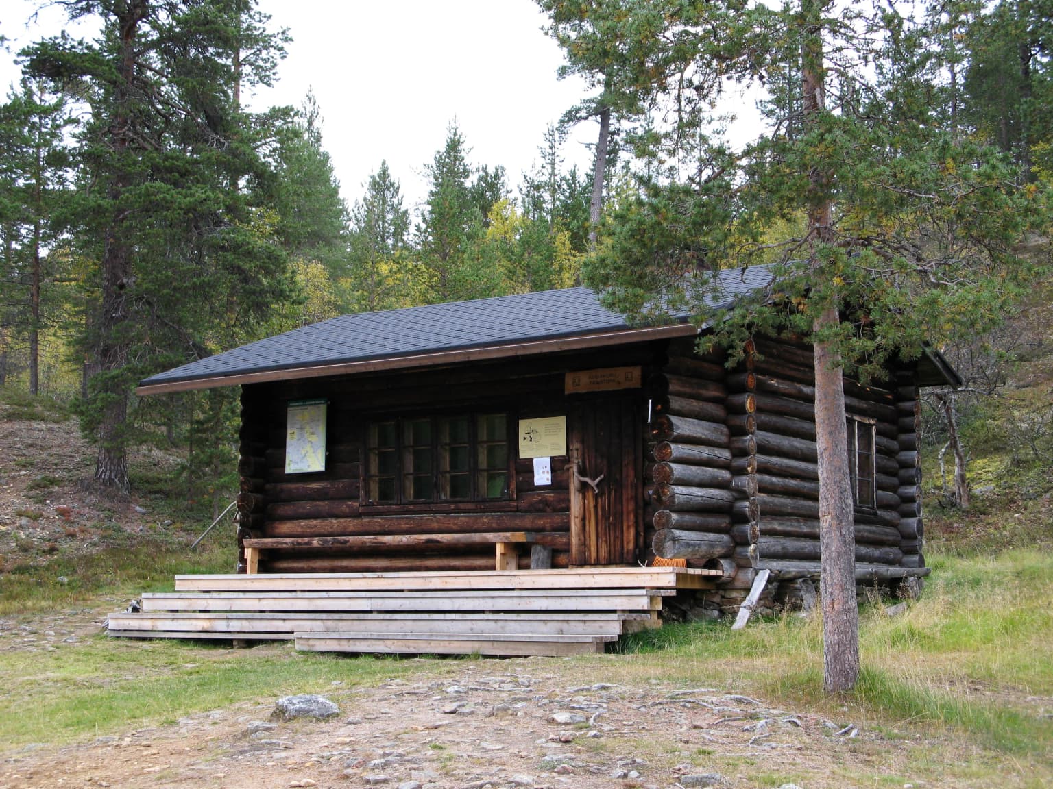
The highlights of Urho Kekkonen National Park center on its exceptional wilderness experiences and dramatic Arctic scenery. Paratiisikuru valley stands as perhaps the park's most iconic feature, a deep ravine with waterfalls set against towering fell walls. The challenge of reaching the summit of Sokosti, the highest fell in the Saariselkä line, draws experienced hikers seeking panoramic Arctic views. The park's dual personality, offering both accessible trails for beginners and true wilderness for experts, makes it uniquely versatile among Finnish national parks. The network of wilderness huts provides shelter for multi-day treks across the remote terrain. The combination of natural grandeur with cultural heritage, particularly visible in traditional reindeer husbandry, adds depth to the visitor experience.

Best time to visit Urho Kekkonen National Park

The optimal time to visit Urho Kekkonen National Park depends on the experience sought, with each season offering distinct characteristics. The summer months of June through August bring the longest days, with the midnight sun providing extended opportunities for hiking and the fell terrain becomes accessible above the snow line. This period sees the highest visitation as visitors take advantage of the relatively mild Arctic summer conditions. Autumn, particularly September and October, offers the possibility of seeing the northern lights (aurora borealis) and experiencing the spectacular fall colors of the boreal forest. Winter brings complete darkness in the polar night period, with snow covering the landscape and offering opportunities for cross-country skiing and winter trekking, though infrastructure is more limited. The choice of season ultimately reflects whether visitors prioritize extended daylight activities, autumn scenery, or the unique experience of an Arctic winter.

Park location guide

Geography guide, regional context, and park location map for Urho Kekkonen National Park

Urho Kekkonen National Park park geography, regions, and map view in Finland
Understand where Urho Kekkonen National Park sits in Finland through a broader geographic reading of the surrounding landscape, nearby location context, and its mapped position within the national park landscape.

How Urho Kekkonen National Park fits into Finland

Finland, officially the Republic of Finland, is a Nordic country in Northern Europe with a population of 5.6 million. It borders Sweden, Norway, and Russia, with the Gulf of Bothnia to the west and the Gulf of Finland to the south. The country gained independence from Russia in 1917 and is a unitary parliamentary republic. Its landscape is characterized by extensive boreal forests and over 180,000 lakes.

Wider geography shaping Urho Kekkonen National Park in Finland

Finland is located in Northern Europe, occupying a peninsula bordered by the Gulf of Bothnia to the west and the Gulf of Finland to the south. It shares land borders with Sweden to the northwest, Norway to the north, and Russia to the east. The terrain is predominantly flat with extensive forest coverage and numerous lakes.

Map view of Urho Kekkonen National Park

Use this park location map to pinpoint Urho Kekkonen National Park in Finland, understand its exact geographic position, and read its mapped placement within the surrounding landscape more clearly.

Pigeon | © OpenStreetMap contributors

Location context for Urho Kekkonen National Park

Lapland

Discover the unique park environment, distinct habitats, and stunning panoramic views within Finland's vast protected wilderness area.

Explore Urho Kekkonen National Park: Visual Gallery of Arctic Landscapes and Fell Terrain
Browse striking photographs capturing the vast fell landscapes, boreal forests, and intricate river valleys that define Urho Kekkonen National Park's expansive Arctic terrain. These visuals offer essential insight into the park's distinctive protected-area character, helping to illustrate its unique blend of wilderness, ecology, and natural grandeur.

Lake surrounded by pine trees with wooden structure on shore, mist over distant hills, and clear sky

Wide panoramic view of a valley with rocky hillsides, a small lake, and green terrain under a partly cloudy sky

Waterfall cascading down rocky cliffs with moss-covered stones and scattered boulders

Log cabin structure with wooden steps, surrounded by trees and grass

Frozen lake surrounded by pine trees with sunlight filtering through trees, early morning light

Finnish postage stamp showing pine trees, rolling hills, a river, and mountains with 'SUOMI · FINLAND 2.40' text

Park atlas

Trace the broader protected landscapes and unique Arctic wilderness areas spanning Finland's Lapland region for detailed comparison.

Explore Other National Parks and Protected Areas Near Urho Kekkonen National Park in Finnish Lapland
After exploring Urho Kekkonen National Park, browse other national parks and protected areas within Finland's Lapland, comparing fell terrain, boreal forests, and expansive Arctic wilderness. Deepen your understanding of regional park geography and conservation efforts by examining similar protected landscapes that share the distinctive features of the Arctic Circle.
National park

Øvre Pasvik National Park: Norway's Pristine Siberian Taiga & Mapped Boreal Geography

Explore ancient forests, wetlands, and transboundary protected landscapes.

Øvre Pasvik National Park is a landmark protected area in Northern Norway, showcasing a remarkably intact Siberian taiga ecosystem characterized by ancient Scots pine forests and extensive wetlands. This national park offers a unique geographic perspective with its notably flat terrain, distinguishing it within the broader Norwegian atlas. As part of the Pasvik, Inari Trilateral Park, it highlights significant transboundary conservation efforts and provides a valuable mapped resource for understanding European boreal landscapes and their unique wildlife habitats.

Area
119 km²
Established
1970
IUCN
II
Relief
Lowland
National parkFinland

Lemmenjoki National Park: Finland's Protected Landscape Geography

Explore mapped park boundaries and regional natural context.

Lemmenjoki National Park is a vital protected area situated within Finland's vast northern geography. This page details its designation as a national park, offering a clear view of its mapped boundaries and landscape character. Users can explore the park's geographic context within Finland and understand its contribution to the region's network of conservation lands, facilitating structured atlas-style discovery.

Area
2,850 km²
Established
1956
IUCN
Ib
Visitors
21.1K annual
National parkKarasjok Municipality

Anárjohka National Park: Mapped Subarctic Wilderness and Protected Landscape

Explore Norway's Finnmarksvidda plateau geography.

Anárjohka National Park, a protected area in Norway's Finnmark region, offers a compelling atlas-level view of subarctic wilderness. The park's landscape is defined by its location on the Finnmarksvidda plateau, featuring rolling birch woodlands, open pine barrens, and extensive wetlands, all mapped within its protected boundaries. This park provides a crucial point of discovery for understanding regional geography, natural terrain, and the interconnectedness of protected lands across northern Europe.

Area
1,409 km²
Established
1976
IUCN
II
Relief
Mixed relief
Watercolor illustration showing a lake, rolling hills, and vegetation.
National parkLapland

Pyhä-Luosto National Park: Ancient Geological Heritage and Fell Landscape

Explore Lapland's southernmost large fell system and deep gorges.

Pyhä-Luosto National Park offers a unique window into Finland's deep geological past and its boreal ecosystems. As a protected area, it encompasses a prominent chain of twelve fells composed of two-billion-year-old quartzite, showcasing the southernmost large fell system in the country. The park's landscape is further defined by features like Isokuru, Finland's deepest gorge, and extensive old-growth forests, providing rich context for map-based discovery and regional geographic understanding within Lapland.

Area
142 km²
Established
2005
IUCN
II
Visitors
198.9K annual
Watercolor painting showing rolling hills, forests, and distant mountains under a soft sky
National parkLapland

Pallas-Yllästunturi National Park: Lapland's Premier Protected Fell Landscape for Atlas Exploration

Explore its ancient mountain geography and mapped protected area.

Pallas-Yllästunturi National Park presents a unique atlas of Lapland's ancient geography, characterized by a vast chain of rounded fells that are the remnants of three-billion-year-old mountains. As Finland's most popular national park, it offers a deep dive into protected landscape discovery, showcasing diverse boreal forests, mires, and exceptional fell terrain. Understand its geographic scope and protected boundaries for comprehensive map-based exploration.

Area
1,020 km²
Established
2005
IUCN
II
Visitors
598.8K annual
National parkLapland

Salla National Park: Mapped Protected Landscape in Lapland, Finland

Explore its geographic context and protected area identity.

Understand Salla National Park as a distinct protected landscape situated within the expansive northern Finnish region of Lapland. This MoriAtlas entry focuses on its identity as a national park, detailing its mapped boundaries and geographic setting. Discover how Salla National Park contributes to the atlas of protected areas, offering a specific point of reference for exploring the natural terrain and regional geography of this subarctic territory.

Area
99.83 km²
Established
2022
IUCN
II
Visitors
55.9K annual
National parkLapland

Oulanka National Park: Protected Landscape Atlas and Geographic Context in Lapland

Explore mapped boundaries and regional terrain.

Discover Oulanka National Park as a distinct protected landscape entity within the extensive northern region of Lapland, Finland. This page provides structured geographic information, focusing on the park's mapped area, its regional setting, and its identity as a national park. MoriAtlas facilitates an atlas-driven understanding of Oulanka National Park's place in Finland's protected lands and its inherent natural terrain.

Area
270 km²
Established
1956
IUCN
II
Visitors
187.4K annual
National park

Stabbursdalen National Park: Protected Arctic Landscape and Northernmost Pine Forest Atlas

Explore Finnmark's unique geography and protected terrain.

Stabbursdalen National Park preserves a remarkable ecological boundary, featuring the planet's northernmost Scots pine woodland within a dramatic Arctic landscape. This protected area offers a deep dive into rugged mountain terrain, river valley formations, and vital wetland habitats. As a key component of Norway's protected lands, it provides essential context for understanding regional geography and the limits of forest ecosystems on the mapped landscape.

Area
747 km²
Established
1970
IUCN
II
Relief
Mixed relief

Common questions about visiting, size, designation, and location context for Urho Kekkonen National Park

Urho Kekkonen National Park FAQs for park facts, access, geography, and protected area context
Find quick answers about Urho Kekkonen National Park, including protected-area facts, park geography, trail and visitor context, and how the park fits into its surrounding country and regional landscape.
MoriAtlas Explorer

Continue Your Protected Areas Search Across the Global Atlas

Deepen your exploration by continuing the structured search for national parks and protected areas worldwide. Utilize the comprehensive filtering capabilities to compare different conservation landscapes and refine your understanding of global park geography. Discover more about the distribution and characteristics of protected natural areas.

Global natural geography