Mori Atlas logo
National parkDuinen van Texel National Park

Discover the protected landscape diversity of North Holland's unique island national park.

Duinen van Texel National Park: Mapped Coastal Dunes and Wetland Geography

(Nationaal Park Duinen van Texel)

Duinen van Texel National Park represents a significant protected coastal landscape located on the Dutch island of Texel, within the North Holland region. This national park showcases a dynamic geography, featuring extensive dune systems, wet dune valleys, and tidal salt marshes. Its mapped terrain includes active coastal plains like De Hors and the unique Slufter tidal wetland, offering valuable insights into coastal geomorphology and protected area distribution within the Wadden Sea region.

Coastal DunesWetlandBirdwatchingWadden SeaDutch National ParksSalt Marsh

Duinen van Texel National Park

National park

Park overview

Structured park overview, official facts, and landscape profile for Duinen van Texel National Park

Duinen van Texel National Park park facts, protected area profile, and essential visitor context
Review the core facts for Duinen van Texel National Park, including designation, size, terrain, visitor scale, habitats, and operating context in one park-focused overview.

About Duinen van Texel National Park

Duinen van Texel National Park protects one of the Netherlands' most significant coastal dune ecosystems on the island of Texel. The park was established in 2002 and encompasses approximately 43 square kilometers of diverse habitats ranging from shifting white dunes to wet dune valleys, coastal plains, and salt marshes. The landscape tells a dynamic story of coastal processes, with the southern De Hors area representing one of the few places in Western Europe where new primary dunes are actively forming from sediment deposited by shoals that have migrated toward the island over centuries.

The park is notable for its ecological diversity created by the interplay between marine, freshwater, and terrestrial systems. The western dune ridge forms a natural barrier between the North Sea and the island's interior, while the dune valleys behind these ridges contain groundwater fed wetlands that support specialized plant communities. Several areas within the park are managed for conservation, including zones where Dutch Ministry of Defence maintains training facilities that also preserve relatively undisturbed natural habitats.

Visitor facilities center around Ecomare, a natural history museum established in 1930 that includes public aquariums and operates as a seal and bird rehabilitation center. The museum welcomes over 265,000 visitors annually and serves as the primary interpretive gateway to the park, providing context about the dune ecosystem, Wadden Sea environment, and the island's natural heritage.

Quick facts and research context for Duinen van Texel National Park

Duinen van Texel National Park occupies the western dune belt and coastal plains of Texel, the largest of the Dutch Wadden Islands. The landscape is characterized by shifting dunes, dune valleys with groundwater-fed wetlands, and tidal salt marsh areas that connect to the North Sea. The park supports significant populations of wading birds, waterfowl, and colonial nesting species including the common spoonbill. Notable areas include De Hors at the southern tip where new dunes actively form, De Geul with its wet dune valley and breeding colonies, De Slufter with its tidal inlet and salt marsh, and De Muy with its historic dune lake. The park is a Ramsar-designated wetland and Natura 2000 site.

Park context

Deeper park guide and search-rich context for Duinen van Texel National Park

Duinen van Texel National Park history, landscape, wildlife, and travel context
Explore Duinen van Texel National Park through its history, landscape character, ecosystems, wildlife, conservation priorities, cultural context, and seasonal travel timing in a structured park guide built for atlas discovery and search intent.

Why Duinen van Texel National Park stands out

Duinen van Texel is renowned for its diverse coastal birdlife, particularly the large breeding colonies of common spoonbills that nest in the wet dune valleys. The park features exceptional dune landscape diversity, from primary dunes forming on active coastal plains to older fixed dunes with heath vegetation. The Slufter area stands out as a dramatic tidal wetland where seawater floods the dune valley at high tide, creating a unique brackish environment with specialized salt-tolerant vegetation. The park also contains the Ecomare natural history museum, which serves as the visitor center and operates a seal and bird sanctuary, making it a key educational destination for the Wadden Sea region.

Duinen van Texel National Park history and protected-area timeline

The conservation history of Duinen van Texel reflects broader Dutch efforts to protect coastal nature. In 1927, botanist Jac. P. Thijsse published an illustrated book about Texel's flora and fauna as part of the Verkade album series, which helped raise awareness of the island's environmental values. This early advocacy contributed to the eventual protection of the dune areas.

The park attained national park status in 2002, formalizing protection for what had already been recognized as significant nature areas. Prior to and following establishment, various parts of the dune system were designated under different protective regimes, with the Ramsar Convention designating the broader "Duinen en Lage Land Texel" wetland complex in 2000. The park is managed jointly by Staatsbosbeheer (the Dutch state forestry service) and the Dutch Ministry of Defence, with the latter owning substantial areas in the southern portion used for amphibious training exercises. This unusual partnership has resulted in certain areas remaining relatively undeveloped due to military use restrictions, while the withdrawal of water extraction from the De Geul area in 1993 has allowed wetland conditions to恢复 in that valley.

Duinen van Texel National Park landscape and geographic character

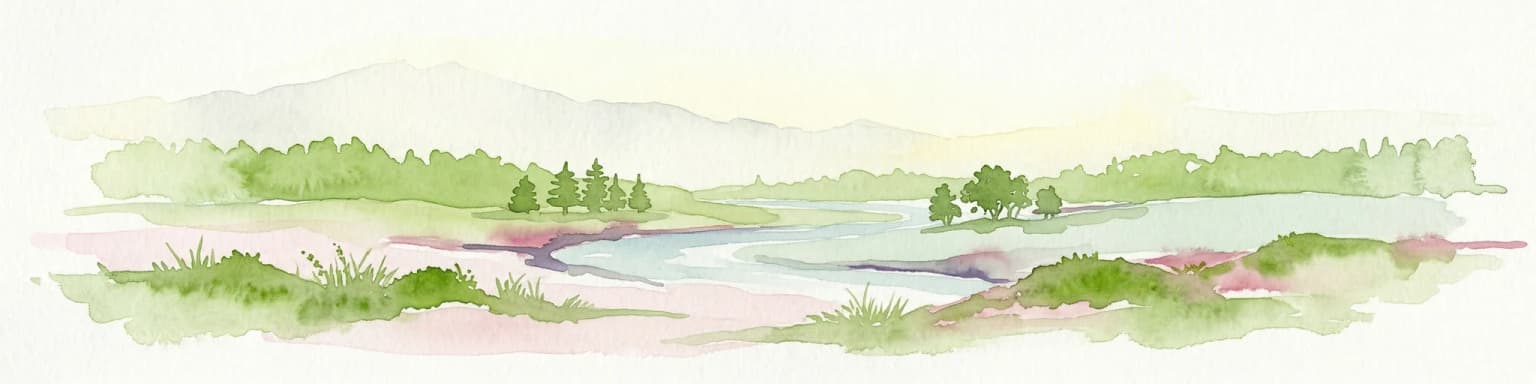
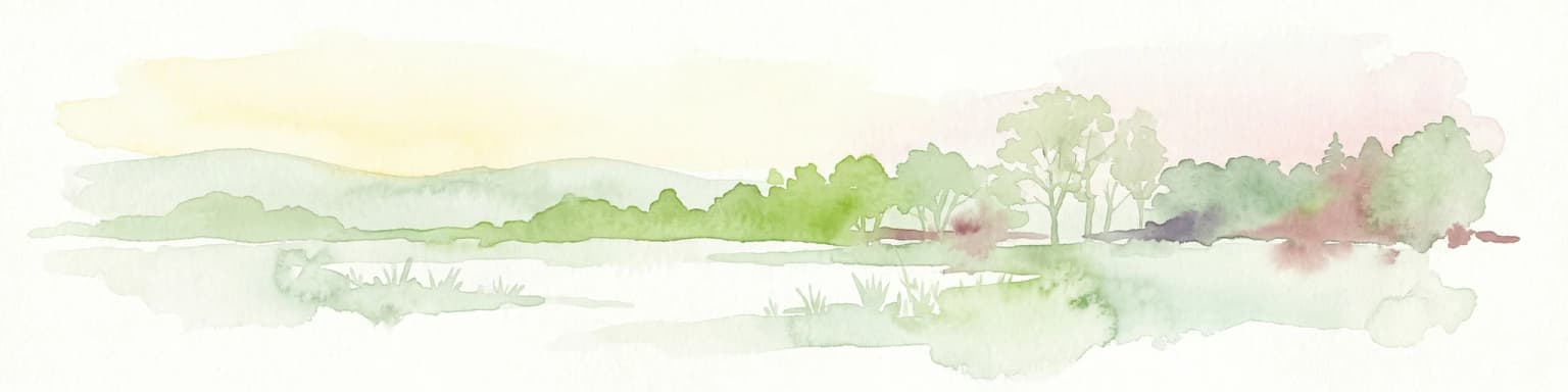
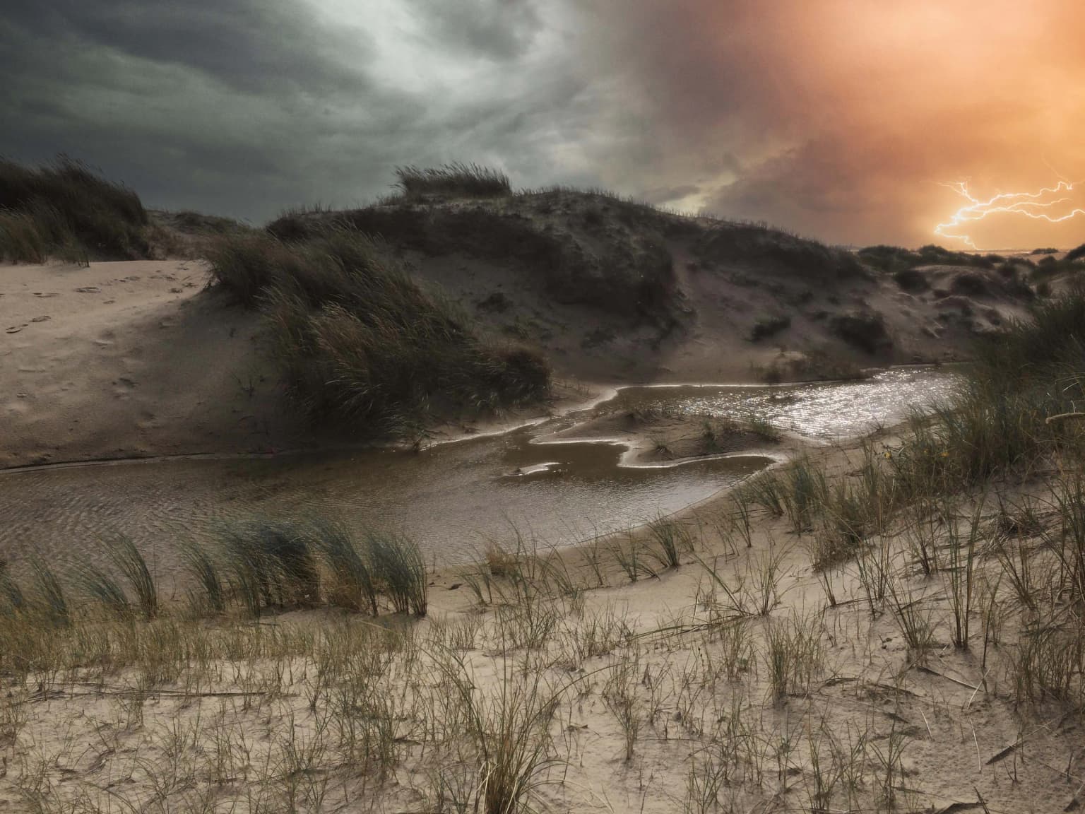
The physical landscape of Duinen van Texel displays remarkable diversity shaped by coastal processes and geological conditions. The western side of the island features a series of parallel dune ridges with the outermost ridges forming the primary defense against North Sea storms. Behind these beach ridges, the terrain drops into wet dune valleys where groundwater lies close to the surface.

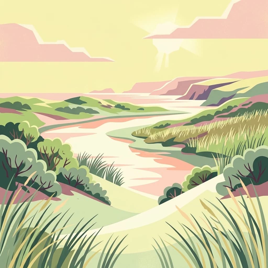
The southern De Hors area represents a distinctive coastal plain where active sedimentation continues to build new land. Historically, sandbars "walked" toward the island, with the last such shoal, Onrust, joining Texel in 1910. The De Hors itself attached to the island in 1749, and new dunes continue forming on this dynamic plain. The northern and southern tips of the island also contain extensive coastal plain areas that are part of the park.

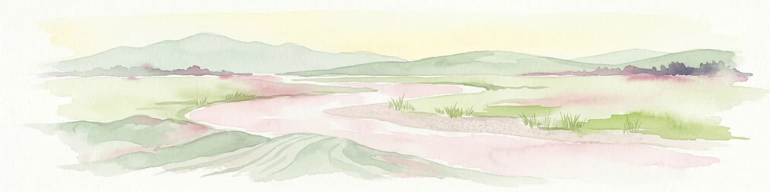
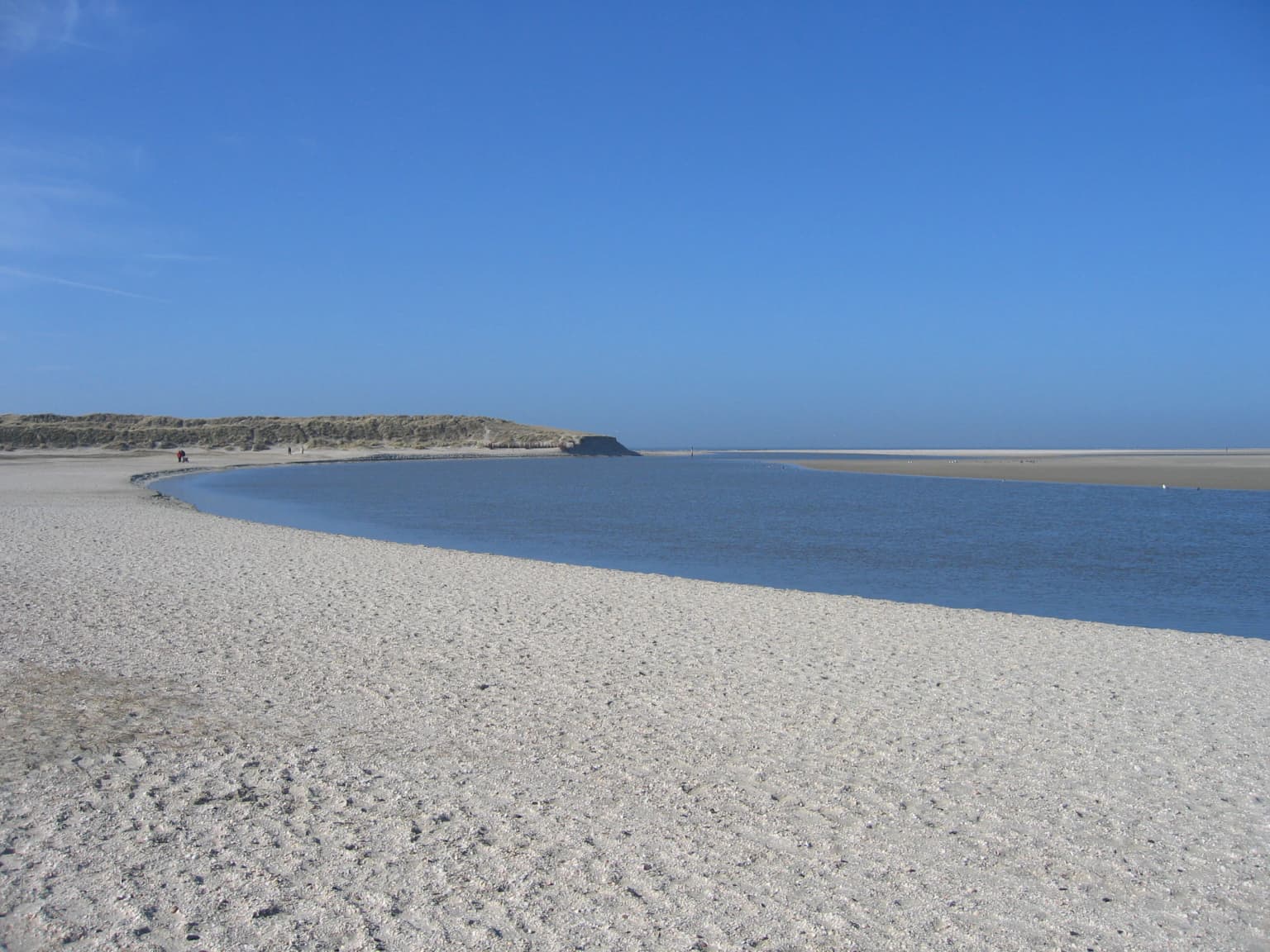
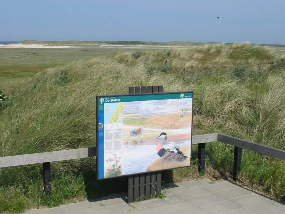
The De Slufter represents perhaps the most dramatic landscape feature—a wide dune valley with an open connection to the North Sea through a breach in the outer dunes. Tidal waters flood the area twice daily, creating a unique tidal wetland environment. The valley is flanked by two long dune ridges called De Lange Dam, with a freshwater valley between them that supports orchids.

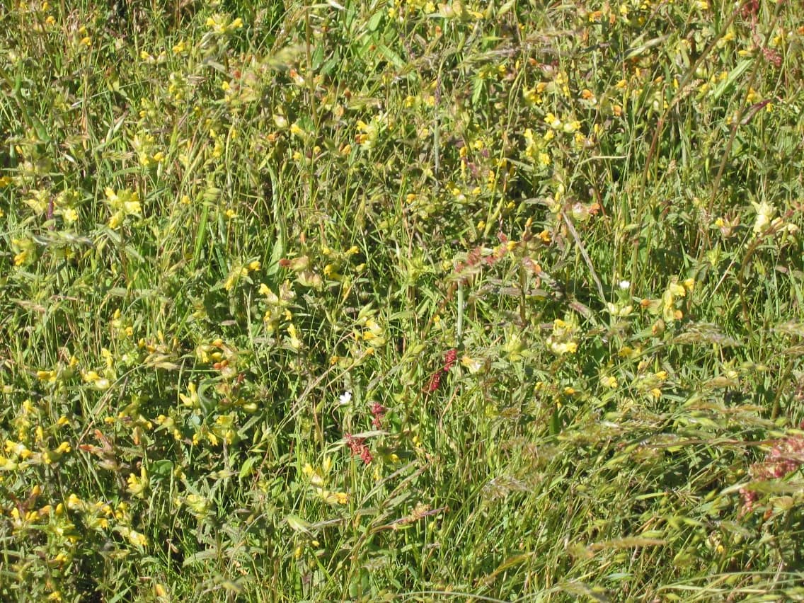
Duinen van Texel National Park ecosystems, habitats, and plant life

The ecological character of Duinen van Texel stems from its position at the intersection of marine, brackish, and freshwater systems. The dune valleys contain groundwater that is influenced by calcium-rich soils in certain areas, creating chemical conditions that support specialized plant communities. The gradient from salt-affected areas near the coast to freshwater wetlands inland produces distinct vegetation zones.

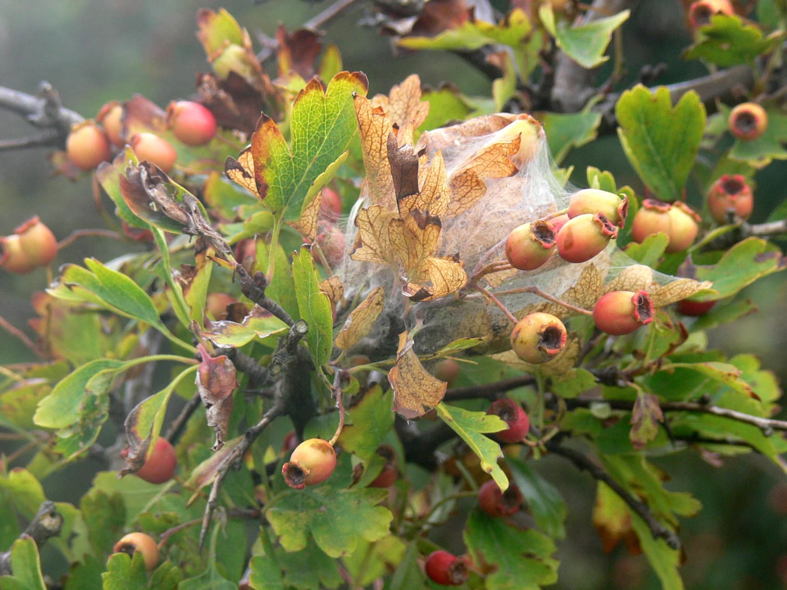
The wet dune valleys support rare plant species including marsh grass species, orchids such as Green-winged Orchid, and specialized dune valley flora. De Bollekamer contains the highest groundwater levels in the dune system due to impermeable clay (keileem) lying near the surface, creating unique hydrological conditions. The salt marsh at De Slufter features sea-lavender that colors the landscape purple in June and glasswort that turns it red in October.

The park forms part of the Natura 2000 network as "Duinen en Lage Land Texel," recognizing its European-level conservation importance. The diverse habitats support over 400 species recorded on the island.

Duinen van Texel National Park wildlife and species highlights

Duinen van Texel supports exceptional bird populations that draw ornithologists and nature enthusiasts. The wet dune valleys host the largest breeding colony of common spoonbills on Texel at De Geul, with these distinctive white wading birds using the area for nesting and foraging. The colonies established following the restoration of wetland conditions after water extraction ceased in 1993.

Waterfowl are abundant throughout the park, with species including greylag goose, brent goose, common shelduck, wigeon, common eider, and common scoter regularly present. Coastal waders such as oystercatcher, pied avocet, golden plover, knot, dunlin, and bar-tailed godwit use the intertidal areas and coastal plains. The Slufter area is particularly important for waders that rest during high tide.

Among passerines, the dunes support stonechat, wheatear, whinchat, and various tit species and finches. Birds of prey present include short-eared owl and hen harrier hunting over the open areas.

Marine mammals in the surrounding waters and beaches include common seal and grey seal, with harbor porpoise occasionally visible offshore. Common mammals within the dunes include European rabbit, hare, hedgehog, and small rodents.

Duinen van Texel National Park conservation status and protection priorities

Duinen van Texel holds multiple conservation designations reflecting its ecological significance. The area is designated as a Ramsar wetland under the Convention on Wetlands of International Importance, specifically the "Duinen en Lage Land Texel" site designated in August 2000. It also forms part of the Natura 2000 network, the European Union's system of protected areas.

The park is recognized as an Important Bird Area by BirdLife International due to its significance for breeding and wintering bird populations including blue-winged teal, eider, Sandwich tern, little gull, common spoonbill, and several species of gull and wader. Conservation management includes grazing by Highland cattle and Exmoor ponies in several areas to maintain open grassland and prevent scrub encroachment.

Management challenges include coastal erosion processes, particularly at De Slufter where the main creek has migrated northward and required intervention in 2004 to prevent damage to northern dunes. The ongoing dynamic processes of sediment movement and dune formation require adaptive management approaches.

Duinen van Texel National Park cultural meaning and human context

Texel has a long human history intertwined with its coastal landscape, and the park contains elements reflecting this heritage. The island's name itself derives from its position at the edge of the then-existing North Sea. The southern De Hors area was historically owned by the Ministry of Defence and has served as an amphibious training ground, creating an unusual situation where military use has limited development and preserved natural habitats.

The naming of areas within the park often reflects local history—for example, the Kreeftenpolder (Kreeft's polder) was named after Jaap Kreeft, the Rijkswaterstaat supervisor who oversaw construction of the sand barrier separating the dune valley from the coastal plain in 1976. The landscape has been shaped by historical water management efforts, including the Moksloot drainage channel dug in the late 19th century to make dune valleys suitable for pasture.

Ecomare, serving as the park's visitor center, was founded in 1930 and represents an early effort to connect the public with the island's natural environment, with a seal rehabilitation facility added in 1952.

Top sights and standout views in Duinen van Texel National Park

Duinen van Texel offers visitors diverse landscapes within a compact area. The dynamic dune formation at De Hors provides a rare opportunity to witness primary succession on new coastal land. The wet dune valley at De Geul supports the island's largest spoonbill colony and is accessible via walking trails with interpretive signage. De Slufter presents a dramatic tidal landscape where visitors can observe the twice-daily flooding and unique salt marsh ecosystem. The network of color-coded walking routes (red, yellow, blue, green) allows exploration ranging from gentle dune walks to longer treks, with green routes closed during bird breeding season. Ecomare provides an indoor complement to outdoor exploration with aquariums, seal viewing, and nature exhibits.

Best time to visit Duinen van Texel National Park

The park can be enjoyed throughout the year, with each season offering different experiences. Spring brings bird breeding activity, with spoonbills nesting in the dune valleys and migratory birds passing through. Early summer features the purple bloom of sea-lavender in the Slufter and is ideal for observing nesting birds. Autumn migration brings large numbers of waders and waterfowl to the coastal areas, and the October red coloring of glasswort in salt marsh areas is distinctive. Winter offers a quieter experience with fewer visitors and the stark beauty of bare dunes, though some areas may have limited access. The shoulder seasons of spring and autumn generally provide the most pleasant weather for walking and the best opportunities for wildlife observation, though summer can be popular with families visiting the island's beaches.

Park location guide

Geography guide, regional context, and park location map for Duinen van Texel National Park

Duinen van Texel National Park park geography, regions, and map view in Netherlands
Understand where Duinen van Texel National Park sits in Netherlands through a broader geographic reading of the surrounding landscape, nearby location context, and its mapped position within the national park landscape.

How Duinen van Texel National Park fits into Netherlands

The Netherlands is a low-lying coastal country in Northwestern Europe, famous for its extensive dike and canal systems that reclaim land from the sea. It consists of twelve provinces and is known for tulips, windmills, and cycling culture. The country is a founding member of the European Union with Amsterdam as its capital and The Hague as the seat of government.

Wider geography shaping Duinen van Texel National Park in Netherlands

The Netherlands is located in Northwestern Europe along the North Sea coastline to the north and west. It borders Germany to the east and Belgium to the south. The country is notably flat, with a significant portion of its territory lying below sea level, protected by dikes and dune systems. It consists of twelve provinces and also includes overseas municipalities in the Caribbean.

Map view of Duinen van Texel National Park

Use this park location map to pinpoint Duinen van Texel National Park in Netherlands, understand its exact geographic position, and read its mapped placement within the surrounding landscape more clearly.

Pigeon | © OpenStreetMap contributors

Location context for Duinen van Texel National Park

North Holland
Park atlas

Map the broader protected landscape spread of coastal dunes and wetlands across the North Holland region.

Compare National Parks and Protected Areas Around Duinen van Texel National Park, North Holland
After exploring Duinen van Texel National Park, discover other national parks and protected areas, comparing diverse coastal dune systems and vital wetland landscapes across the North Holland province. Expand your geographic understanding by mapping the regional distribution of these conservation areas, revealing their interconnectedness within the broader North Sea coastal ecosystem.
National parkFriesland

De Alde Feanen National Park: Explore Friesland's Historic Peat Bog Landscape

Protected wetland terrain and abundant birdlife in the Netherlands.

Delve into the intricate mapped geography of De Alde Feanen National Park, a national park renowned for its exceptional lowland peat bog ecosystem. This protected area in Friesland showcases a unique terrain comprising shallow lakes, reed beds, and historic peat extraction pools, offering significant ecological and cultural value. The park's landscape provides vital habitats and serves as a testament to the region's long history of human engagement with wetland environments, making it a key destination for atlas-driven geographic discovery.

Area
25 km²
Established
2006
IUCN
II
Relief
Lowland
National parkFlevoland

Nieuw Land National Park: Mapped Wetland Landscape on Flevoland's Reclaimed Land

Protected area geography and ecological discovery in the Netherlands

Nieuw Land National Park offers a distinctive protected landscape forged on land recently reclaimed from the sea in the Dutch province of Flevoland. This national park is characterized by its vast expanse of wetlands, artificial islands like the Marker Wadden, and critical importance for migratory bird populations. Delve into the park's geographic context and mapped features to understand its unique conservation value and role within the wider European atlas of protected areas.

Area
289 km²
Established
2018
IUCN
II
Relief
Lowland
Watercolor depiction of rolling coastal dunes, blue waterways, green vegetation, and distant hills under a light sky
National parkNorth Holland

Zuid-Kennemerland National Park: Coastal Dune Protected Landscape in North Holland

Explore its unique mapped terrain and protected area geography.

Zuid-Kennemerland National Park showcases a remarkable coastal dune ecosystem situated in the North Holland province. This national park entry provides detailed insight into its protected landscape, from calcium-rich dune soils supporting rare flora to ancient woodlands and extensive walking trails. Users can explore the park's mapped boundaries, understand its geographic setting within the Netherlands, and appreciate its significance as a conservation area. Discover the natural terrain and ecological richness that characterize this important Dutch protected land.

Area
38 km²
Established
1995
IUCN
II
Visitors
1.8M annual
Watercolor painting of a wetland scene with a winding river, grassy areas, and distant hills
National parkOverijssel

Weerribben-Wieden National Park: A Premier Lowland Peat Bog National Park in Overijssel

Explore mapped protected wetlands and unique hydrological landscapes.

Weerribben-Wieden National Park stands as a remarkable example of a large-scale lowland peat bog ecosystem, recognized as the most extensive and well-preserved in Northwestern Europe. Located in the Overijssel province, this protected area showcases a complex mosaic of interconnected waterways, expansive reed beds, and marshy woodlands. Our platform provides structured geographic context, enabling detailed map-based discovery of the park's unique terrain and ecological significance as a vital conservation landscape.

Area
105 km²
Established
1992
IUCN
II
Relief
Lowland
Watercolor painting of a lake surrounded by green fields and distant mountains.
National park

Lauwersmeer National Park: Mapped Wetland Landscape and Migratory Bird Atlas

Explore protected Dutch Wadden Sea geography and terrain.

Discover Lauwersmeer National Park, a protected wetland in the Netherlands shaped by its post-enclosure transformation. This national park offers a unique glimpse into evolving ecosystems, serving as a vital corridor for migratory birds and showcasing a distinctive flat, open landscape with extensive water and reed environments. Its position within the Wadden Sea UNESCO World Heritage Site highlights its broader ecological importance. Explore the mapped geography, land-use patterns, and characteristic terrain of this dynamic protected area, known for its natural darkness and diverse avian populations.

Area
60 km²
Established
2003
IUCN
II
Relief
Lowland
Watercolor illustration of rolling hills, a winding river, and distant mountains under a pale sky
National parkFriesland

Schiermonnikoog National Park: Protected Landscape and Geographic Atlas

Explore its unique dune systems, salt marshes, and Wadden Sea context.

Schiermonnikoog National Park in Friesland is a testament to actively evolving coastal geography, showcasing dynamic dune formations, extensive salt marshes, and diverse natural habitats. As a protected landscape within the UNESCO Wadden Sea, it offers a unique focus for understanding regional protected areas and the intricate interplay of wind, water, and sediment shaping the North Sea coastline. Discover the park's ecological significance and its mapped terrain through MoriAtlas's structured geographic exploration.

Area
54 km²
Established
1989
IUCN
II
Relief
Lowland
Watercolor illustration of a landscape with green fields, trees, a body of water, and distant hills under a light sky
National parkDrenthe

Drents-Friese Wold National Park: Protected Landscape and Geographic Exploration in Drenthe

Explore unique heathlands, drift-sands, and regional natural geography.

This entry details Drents-Friese Wold National Park, a crucial protected landscape in the Drenthe province. Understand its mapped boundaries, distinctive heath and drift-sand terrain, and its significance as a natural area. Discover the park's regional geographic setting and its role in the broader Dutch landscape atlas, providing context for its unique ecological and historical character.

Area
61 km²
Established
2000
IUCN
II
Relief
Lowland
National parkDrenthe

Dwingelderveld National Park: Drenthe's Vast Wet Heathland and Unique Pingo Lakes

Explore a protected landscape of heath, bogs, and ancient geography.

Dwingelderveld National Park represents a significant protected landscape in the Drenthe region of the Netherlands, celebrated as the largest wet heathland in Western Europe. This 37-square-kilometer area provides exceptional opportunities for atlas exploration, revealing a terrain composed of sandy ridges interspersed with waterlogged depressions. The park's defining features include more than forty natural pools, known as vennen, many of which are geologically important pingo-ruins. Discover the rich archaeological heritage, including ancient Celtic fields and burial mounds, all situated within this unique natural setting. MoriAtlas offers a structured view of Dwingelderveld National Park's distinct geography and protected ecological value.

Area
37 km²
Established
1991
IUCN
II
Relief
Lowland

Common questions about visiting, size, designation, and location context for Duinen van Texel National Park

Duinen van Texel National Park FAQs for park facts, access, geography, and protected area context
Find quick answers about Duinen van Texel National Park, including protected-area facts, park geography, trail and visitor context, and how the park fits into its surrounding country and regional landscape.
MoriAtlas Explorer

Continue Your Protected Areas Search Across the Global Atlas

Deepen your exploration by continuing the structured search for national parks and protected areas worldwide. Utilize the comprehensive filtering capabilities to compare different conservation landscapes and refine your understanding of global park geography. Discover more about the distribution and characteristics of protected natural areas.

Global natural geography