
Why Dwingelderveld National Park stands out
Dwingelderveld is renowned as the largest wet heathland in Western Europe, a distinction that makes it unique among Dutch nature reserves. The park is particularly famous for its extensive heath communities and the remarkable density of natural pools, known as vennen, which number over forty across the relatively compact 37-square-kilometer area. Many of these pools are pingo-ruins, circular depressions formed by ice lenses during the last glacial period, creating an unusual geological legacy. The park also contains one of the largest juniper thickets in the Netherlands, particularly notable around the Lheebroekerzand area.Archaeological significance adds another dimension to the park's identity, as ancient Celtic fields and burial mounds remain clearly recognizable in the landscape, alongside medieval cart tracks representing historic transport routes between Germany and the Netherlands. The combination of ecological uniqueness, geological features, and archaeological depth makes Dwingelderveld a standout destination for understanding lowland heath ecosystems.
Dwingelderveld National Park history and protected-area timeline
The history of Dwingelderveld reflects the long interaction between human communities and the marginal heathland landscapes of the Dutch plateau. Archaeological evidence indicates that the area was used by early inhabitants for both religious purposes and agriculture, with Celtic fields and burial mounds still recognizable in the landscape today. These ancient field systems and burial monuments represent over two thousand years of human presence on the heath.Later in history, the area served as a transport corridor linking northern Germany to the Netherlands. Remnants of these medieval routes—visible as cart tracks on aerial photographs—cross the heath, sometimes appearing as multiple parallel tracks where earlier routes became too degraded and new paths were carved alongside. These tracks provided the physical evidence of historic trade movements across the sandy, less favorable soils of the Drenthe plateau.In the 1930s, the area faced pressure from reclamation plans aimed at converting the marginal heathland to agricultural use. However, conservation organizations intervened, purchasing portions of the land to preserve it. Other areas were used for forestry, particularly with coniferous plantations that have since been progressively removed as part of restoration efforts. The formal establishment of the national park in 1991 recognized both the ecological significance and the cultural heritage value of the area.Contemporary history has focused on addressing the legacy of historical drainage. Reclamation work in the twentieth century involved digging ditches and drains to improve agricultural potential, but these interventions caused drying (verdroging) of the sensitive peat and heath communities. Since achieving national park status, significant resources have been devoted to restoring hydrology by blocking unnecessary drainage channels and removing coniferous plantations.
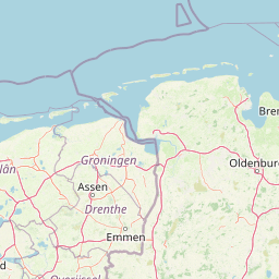
Dwingelderveld National Park landscape and geographic character
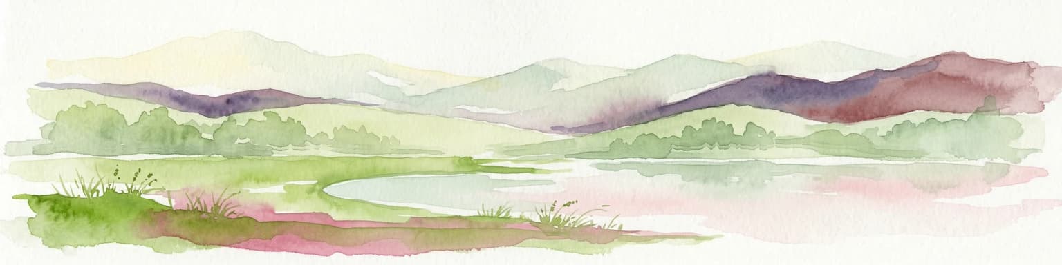
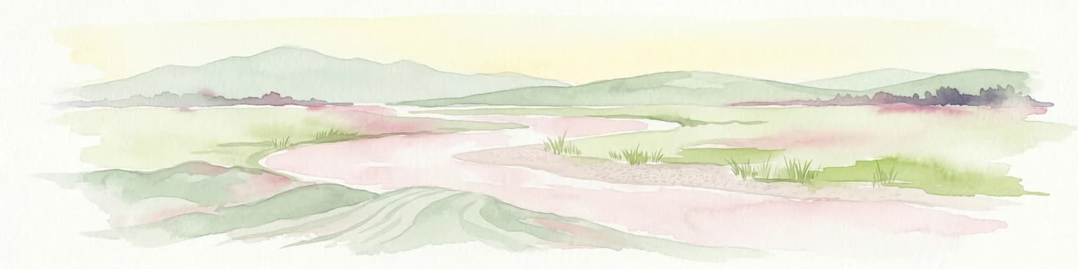
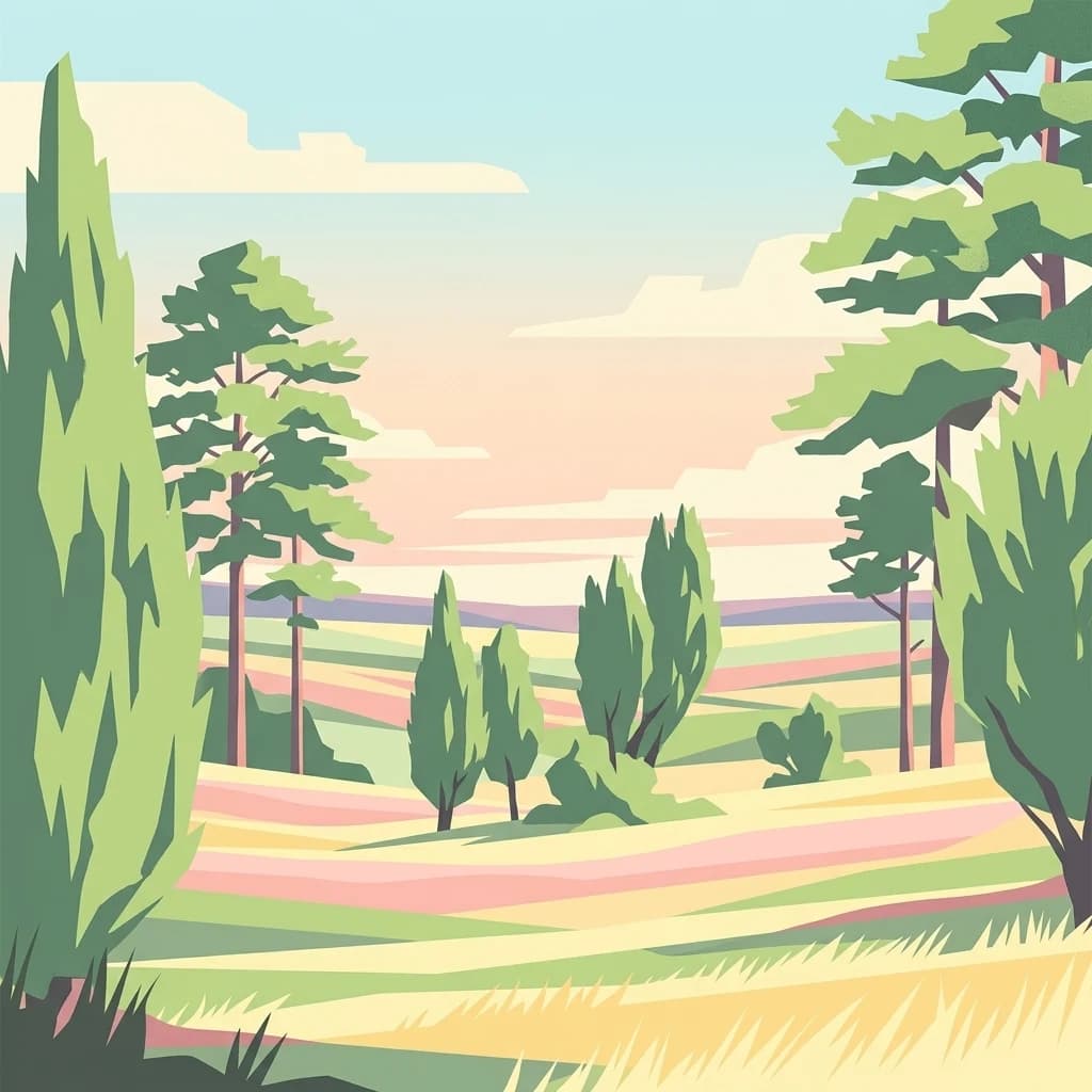
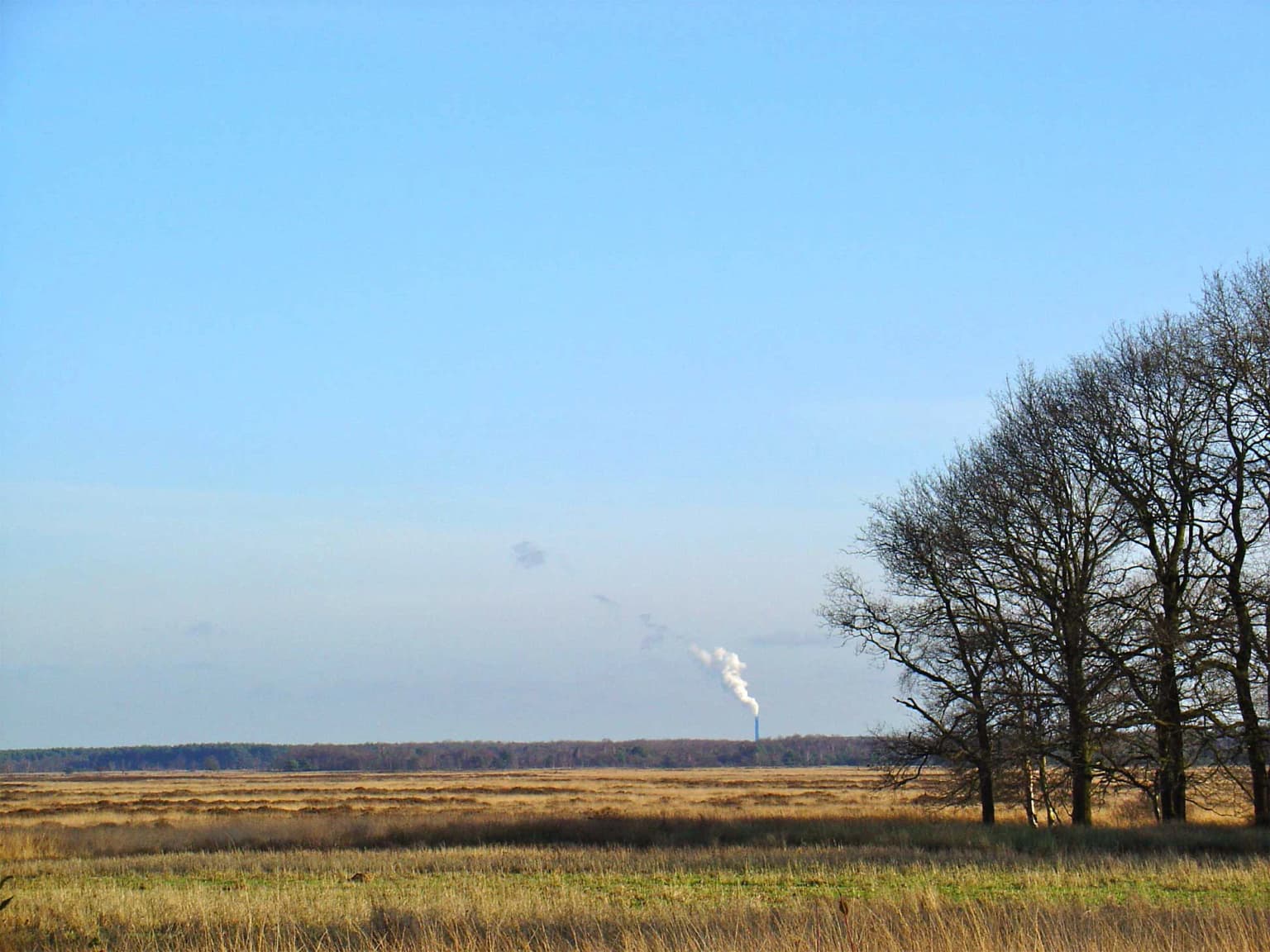
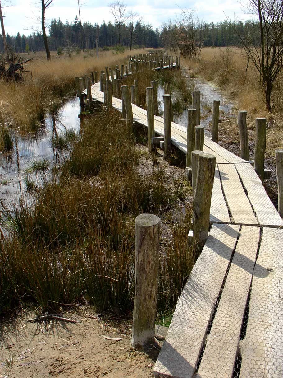
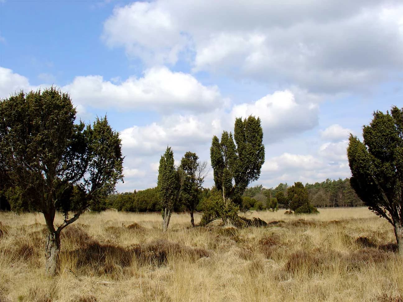
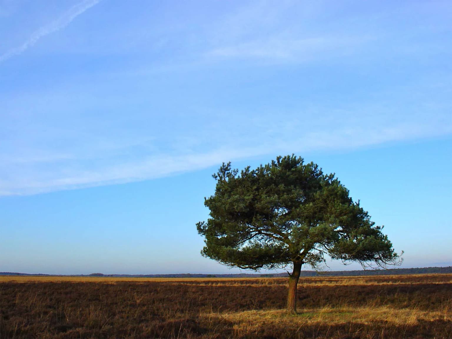
The landscape of Dwingelderveld National Park is defined by its characteristic heathland terrain with striking topographic variation. The park's terrain features relatively elevated sandy hills alongside wet lower depressions, creating a diverse mosaic of conditions that supports different plant communities across short distances. This alternation between dry ridges and wet slacks is fundamental to the park's ecological character.The wet depressions within the park include numerous fens and vennen—small natural pools that are a defining feature of the area. The park contains over forty of these pools, remarkable for their density within a relatively limited area. Many of the vennen are pingo-ruins, circular depressions formed when ice lenses from the Weichselian glaciation melted at the end of the last glacial period. These geological features give the pools their distinctive rounded shapes and contribute to the park's scientific interest. Other pools originated from peat extraction or wind erosion processes. The Davidsplassen represent particularly large examples of these aquatic features.Around the pools, vegetation patterns reflect the moisture gradients—sundew and cottongrass grow in wet areas while heather dominates the drier ridges. The park also contains areas of raised bog vegetation in the wetter sections, representing rare habitat types in the Dutch context. The juniper thickets, particularly around Lheebroekerzand in the northern part of the park, add another distinctive element to the landscape, with hundreds of juniper shrubs creating dense, aromatic scrub that represents one of the largest concentrations of this species in the Netherlands.
Dwingelderveld National Park ecosystems, habitats, and plant life
The ecological character of Dwingelderveld centers on its heath and peat bog communities, which represent some of the most species-rich semi-natural habitats in northwestern Europe. The park supports four principal heath species: Calluna vulgaris (common heather), Erica tetralix (cross-leaved heath), Empetrum nigrum (crowberry), and Andromeda polifolia (bog rosemary). This diversity of heath species reflects the variety of moisture conditions across the terrain, with different species dominating on wet versus dry substrates.In the wetter areas, the heath gives way to peat bog vegetation featuring species adapted to consistently waterlogged, nutrient-poor conditions. Sundew (Drosera species) captures insects in its sticky leaves, while cottongrass (Eriophorum vaginatum) forms distinctive white fluffy seed heads. The marsh gentian (Gentiana pneumonanthe), with its striking blue trumpet-shaped flowers, occurs in wet heath communities. The park supports at least six orchid species, including the relatively common broad wasp orchid (Gymnadenia conopsea), representing a remarkable diversity for a relatively small area.The management of these communities requires active intervention to prevent succession to forest. Without grazing or other disturbance, trees and shrubs would quickly colonize the open heath, fundamentally altering the habitat. The traditional system involved grazing by sheep and cattle, which kept the heath open and maintained the ecological conditions that support the specialized species. Modern management replicates this function through maintained grazing, with sheep still present in the park, and the use of mechanical sod removal to create the open patches that many heath species require for establishment.
Dwingelderveld National Park wildlife and species highlights
The wildlife of Dwingelderveld reflects the park's heathland and wetland habitats, with several species groups of particular conservation significance. The park supports all three snake species found in the Netherlands: the adder (Vipera berus), the smooth snake (Coronella austriaca), and the grass snake (Natrix natrix). This makes Dwingelderveld a notable destination for reptile enthusiasts, as finding all three species in a single area is unusual in the Dutch context. The heath provides suitable habitat for adders, which bask in sunny spots on the sandy ridges.The butterfly fauna of the park is exceptionally rich, with particular importance attached to the rare bog butterflies. The park represents one of the last strongholds in the Netherlands for three species of bog-specialist butterflies: the bog blueberry blue (Plebejus optilete), the little wave (Euphydryas species), and other peatland specialists. The gentiaanblauwtje (Alcedo atthis), a species dependent on marsh gentian as a larval host plant, also occurs. This concentration of rare species reflects the quality and extent of the heath and bog habitats.The birdlife of the park has earned it designation as an Important Bird Area by BirdLife International. The park supports significant populations of crane (Grus grus), bean goose (Anser fabalis), and black woodpecker (Dryocopus martius). The wet heath and open bog habitats provide suitable breeding and foraging conditions for these species. A population of approximately 400 roe deer (Capreolus capreolus) also inhabits the park, representing a substantial ungulate community that influences vegetation structure through their grazing and browsing.
Dwingelderveld National Park conservation status and protection priorities
Dwingelderveld holds significance at both national and European levels as a conservation site. The Natura 2000 designation acknowledges the park's importance for heath and bog habitats of European concern, requiring specific conservation measures to maintain the ecological conditions these communities require. This designation places the park within a network of protected areas across Europe aimed at conserving biodiversity.The main conservation challenge facing the park is addressing historical drainage that has caused drying (verdroging) of the sensitive peat and heath communities. Reclamation work for agriculture in the twentieth century created a network of ditches and drains that lowered water tables across parts of the park, degrading the wet heath and peat bog habitats. Addressing this requires both blocking unnecessary drainage channels and removing coniferous plantations that were established on former heathland.The Noordenveld area, an agricultural enclave within the park's boundary, represented a particular problem as drainage from these farmed areas affected adjacent protected habitats. The complete buyout of agricultural land in this approximately 300-hectare area was completed in 2007, allowing restoration work to proceed. The implementation plan, approved in 2010, involved removing phosphate-rich topsoil (averaging 35 centimeters) and filling deep drainage ditches. This work, carried out in two phases from 2011 to 2015, represents a significant investment in restoring the hydrological function of the park. The ongoing challenge is maintaining the heathland through appropriate grazing and management to prevent natural succession to woodland.
Dwingelderveld National Park cultural meaning and human context
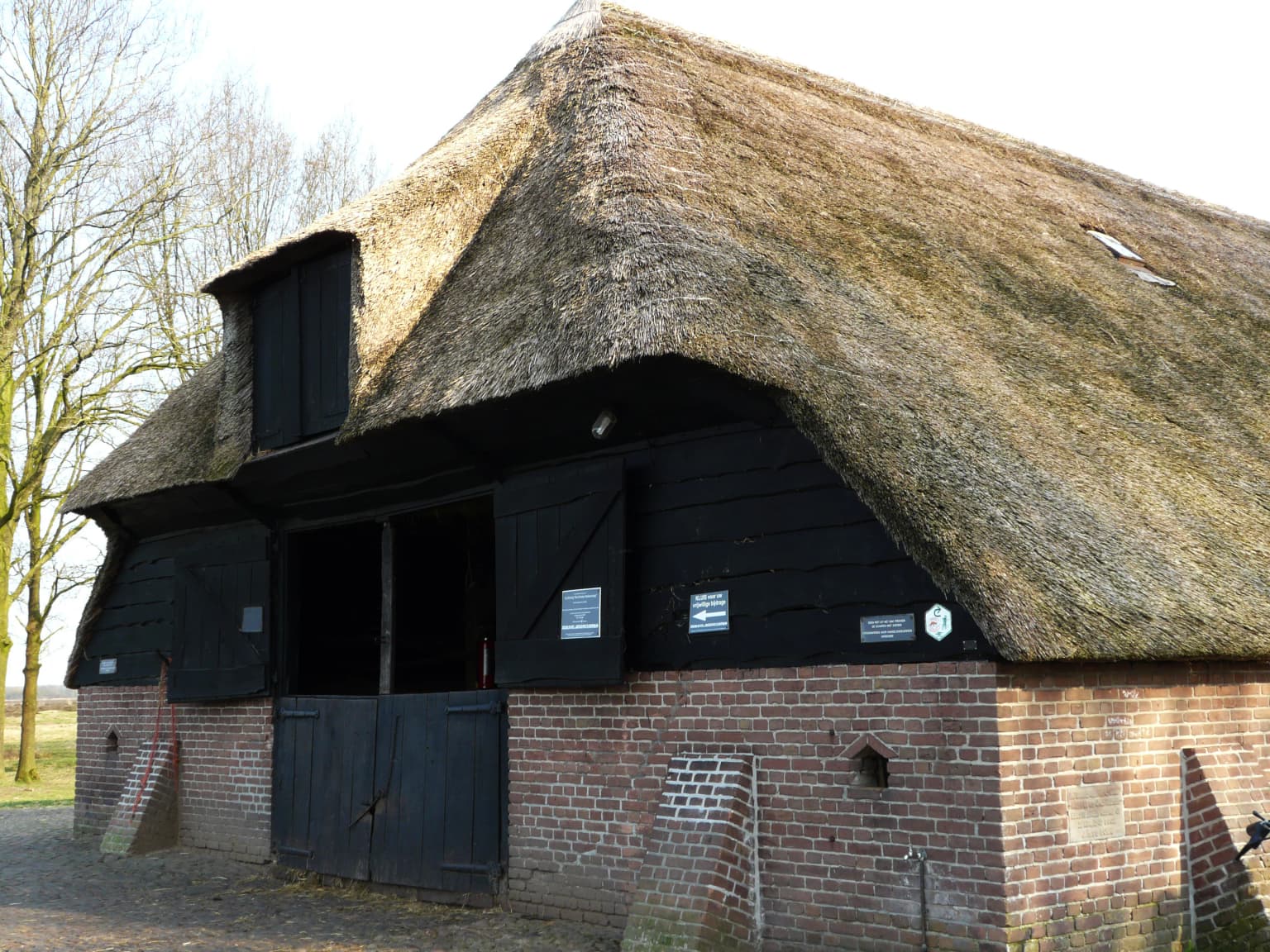
Dwingelderveld bears the imprint of human activity spanning millennia, creating a cultural landscape that is integral to its identity. The Celtic fields and burial mounds scattered across the heath represent prehistoric land use and burial practices, visible as subtle earthworks that add archaeological dimension to the natural landscape. These features demonstrate that the area has been a landscape of human significance since well before recorded history.The medieval period left more recent traces in the form of cart tracks that connected northern Germany to the Netherlands. These routes, sometimes visible as multiple parallel tracks on aerial photographs, represent centuries of overland trade before the development of modern roads. When tracks became too degraded or waterlogged, travelers simply created new routes alongside, creating the characteristic multiple-track patterns visible in the landscape.Adjacent to the park, the Ruinen sheepfold (schaapskooi) maintains the tradition of seasonal grazing on the heath. The Drenthe heath sheep (Drents heideschaap), a traditional breed adapted to the harsh conditions of the heath, are still herded daily onto the heath from the sheepfold, replicating practices that maintained the heathland for centuries. This living agricultural tradition connects the contemporary park to its historical roots and provides a practical management function.
Top sights and standout views in Dwingelderveld National Park
Dwingelderveld offers several standout features that distinguish it among Dutch national parks. The wet heathland, the largest in Western Europe, represents an ecological achievement of international significance in a region where such habitats have declined dramatically. The density of vennen—over forty pools within 37 square kilometers—creates a distinctive lacustrine landscape unusual for lowland heath. The pingo-ruins, with their perfect circular forms, provide a tangible connection to the glacial processes that shaped the terrain.Archaeological features including Celtic burial mounds and medieval cart tracks add depth to the visitor experience, offering insight into two thousand years of human interaction with this marginal landscape. The juniper thickets around Lheebroekerzand represent one of the largest concentrations of this characteristic shrub in the Netherlands, creating aromatic, textured landscapes unlike anything elsewhere in the country. The three snake species found here—the complete set of Dutch snakes—make the park a destination for reptile observation, while the rare bog butterflies represent conservation priorities of national importance. The visitor center and Planetron astronomy center provide educational facilities that enhance the recreational offer.
Best time to visit Dwingelderveld National Park
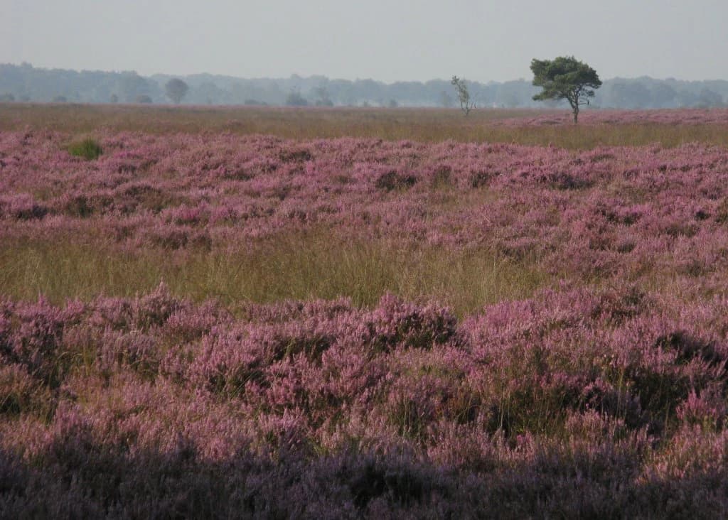
The heathland of Dwingelderveld displays distinct seasonal characters that influence the visitor experience. Late summer, typically August and September, represents perhaps the most visually spectacular period when the heather blooms across the heath, creating extensive purple carpets that are iconic to the Dutch heathland landscape. This flowering period attracts many visitors and photographers seeking to capture the distinctive color. The warm weather also increases the likelihood of observing snakes basking on sunny paths and ridges.Spring offers a different but equally compelling experience as the heath turns green and breeding birds become active. The crane, a notable species for the park, performs its characteristic breeding displays in spring, and the birdlife generally is more active and visible as species establish territories. The pools (vennen) are full from winter rains, presenting different characters than during drier summer months.Winter, while less dramatically colorful, has its own appeal for those seeking solitude and atmospheric landscapes. The bare trees and reduced vegetation allow longer sightlines across the heath, and the stark shapes of juniper thickets against grey skies create a different aesthetic. The park remains accessible year-round, though some trails may be wetter or less maintained during the winter months. The visitor center operates throughout the year, providing shelter and information regardless of season.