Why Drentsche Aa National Park stands out
Drentsche Aa is renowned for its exceptionally well-preserved cultural landscape, representing the traditional Dutch countryside that once characterized the sandy soils of Drenthe before modernization. The park contains one of the last relatively untouched river systems in the Netherlands, where the Drentsche Aa and its tributaries still flow in their natural, meandering courses. The area is famous for its esdorpen, scenic farming villages with traditional Saxon farmhouses set on raised agricultural fields called essen, surrounded by hedgerows and small fields. The Balloërveld heathland, a former military training ground that escaped cultivation, and the Gastarse Duinen sand dunes are notable natural features. The landscape's geomorphological significance includes glacial and periglacial formations from the Saalien ice age.
Drentsche Aa National Park history and protected-area timeline
Drentsche Aa National Park was established in 2002 as a recognition of the area's exceptional cultural and natural value. However, the protected status came with a unique challenge: the area could not be managed as a standard national park where all functions are subordinate to nature conservation. Instead, the park was designated with what Dutch management calls a "broadened objective" (verbrede doelstelling), recognizing that agriculture, village life, and cultural landscape preservation are integral to the area's identity. This approach caused initial debate about whether national park status was the appropriate tool for protection, but the unique character of the landscape ultimately justified the designation. In 2019, the managing body began using the simplified name "Nationaal Park Drentsche Aa" for the entire area, moving away from the formal name "Nationaal beek- en esdorpenlandschap Drentsche Aa" that had emphasized the brook and esdorpen landscape character. The area's cultural significance was formally recognized in 2005 when it was declared the most beautiful landscape in the Netherlands, an honor it shared with the Geuldal in Limburg.
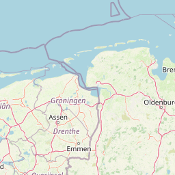
Drentsche Aa National Park landscape and geographic character
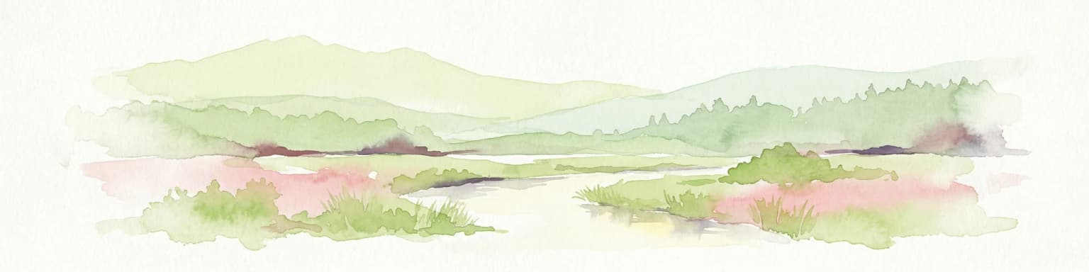
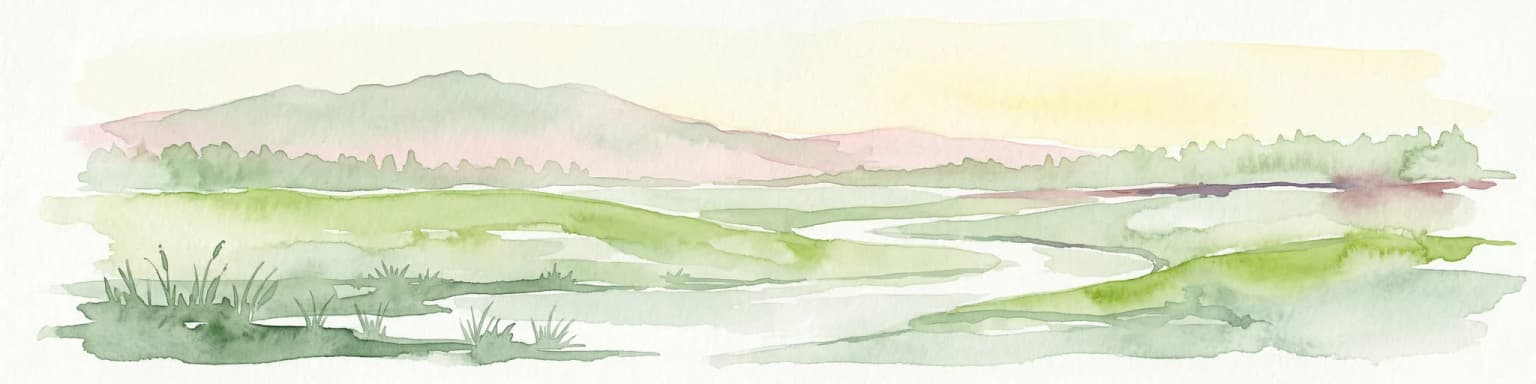
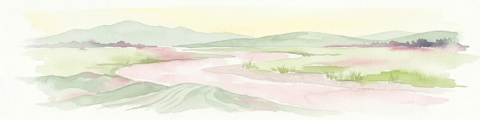
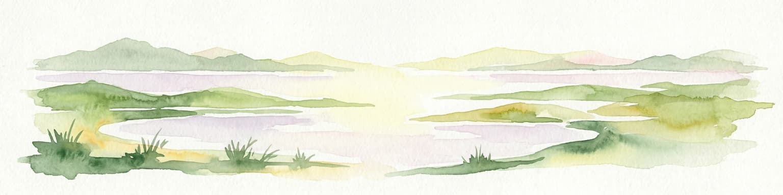
The landscape of Drentsche Aa is built upon the geological foundations of the Hondsrug, a prominent ridge of glacial deposits formed during the Saalien ice age approximately 150,000 years ago. This ridge extends roughly 70 kilometers in a north-northwest to south-southeast direction and is typically 15 kilometers wide. The Drentsche Aa river system was likely formed at the end of the Saalien period as the ice sheet melted, with erosion cutting deep channels into the underlying boulder clay (keileem). The subsequent Weichselian cold period deposited extensive coversand (dekzand) across the area through wind-blown sediments. During the Holocene, human activities caused these sands to re-mobilize, creating the present-day drift sands and inland dunes. The park's landscape is characterized by a network of small, meandering brooks, the most significant being the Drentsche Aa itself, which remains one of the few Dutch waterways with an almost entirely natural course. Rolling heathlands, acidic grasslands, and the distinctive esdorpen—villages built on raised artificial fields (essen) surrounded by hedgerows—complete the landscape. The Balloërveld area preserves a rare example of heathland that escaped agricultural conversion, while the Gastarse Duinen represent a notable sand dune system within the park.
Drentsche Aa National Park ecosystems, habitats, and plant life
The ecological character of Drentsche Aa reflects the interaction between the area's glacial landforms, its water systems, and centuries of traditional land management. The network of near-natural streams and brooks supports riparian habitats and wetland communities that have become rare in the intensively managed Dutch countryside. Heathlands, maintained for generations through controlled grazing and sod cutting, support specialized plant communities adapted to acidic, nutrient-poor soils. The hedgerows and small fields of the esdorpen create a diverse mosaic of habitats, supporting species that require the transitional zones between open heathland, woodland edges, and agricultural land. The Drentsche Aa system is recognized as one of the last relatively intact river systems in the Netherlands, providing ecological connectivity and serving as a refuge for species that cannot survive in modernized landscapes. The area is designated as a Natura 2000 site, reflecting its importance for European conservation.
Drentsche Aa National Park wildlife and species highlights
The Drentsche Aa area supports wildlife populations that reflect both its heathland and stream ecosystems. The heathlands provide habitat for species associated with open, acidic grassland and heather-dominated vegetation, including various insects, reptiles, and birds adapted to this increasingly rare habitat type in western Europe. The network of streams and the riparian zones along the Drentsche Aa support aquatic communities and provide breeding and foraging habitat for waterfowl and riparian bird species. The hedgerow network and small-scale agricultural land create structural diversity that supports small mammals, farmland birds, and a range of invertebrate species. The preservation of the traditional landscape, with its small fields, hedgerows, and unimproved grasslands, has allowed ecological communities to persist that would otherwise have been lost to agricultural intensification elsewhere in the Netherlands.
Drentsche Aa National Park conservation status and protection priorities
Drentsche Aa National Park represents a conservation model that balances natural and cultural values rather than prioritizing nature above all other considerations. The park's designation as a Natura 2000 site brings it under the European Union's nature protection network, acknowledging its significance for biodiversity conservation. However, the management approach explicitly recognizes the cultural landscape as equally important, preserving not just natural habitats but the traditional farming practices, village patterns, and land management methods that created and maintain the distinctive character of the area. This approach reflects a growing recognition that in heavily cultivated landscapes like the Netherlands, conservation cannot succeed by excluding human activity but must work with agricultural communities and traditional land-use practices. The preservation of the Drentsche Aa landscape is particularly significant given that similar landscapes across the Dutch sandy soils were largely destroyed by 20th-century agricultural modernization, making the Drentsche Aa the best-preserved example of this landscape type in Western Europe.
Drentsche Aa National Park cultural meaning and human context
The Drentsche Aa landscape is deeply shaped by the traditional esdorpen settlements—villages that developed on raised agricultural fields called essen, which were created over centuries through the application of manure and organic matter to improve the sandy soil. These villages are characterized by their Saxon farmhouses, a distinctive architectural tradition unique to the Drenthe region. The surrounding agricultural land, divided by hedgerows into small fields, represents a farming pattern that dates back centuries. The relationship between the villages, their fields, the heathlands where sheep grazed, and the stream valleys where water was collected created an integrated cultural landscape that supported rural communities while maintaining ecological diversity. This traditional pattern persisted in the Drentsche Aa area while being lost elsewhere in Drenthe, making the park an important cultural heritage site as well as a natural one.
Top sights and standout views in Drentsche Aa National Park
The Drentsche Aa represents a rare conservation opportunity in one of Europe's most intensively farmed countries—a landscape that has survived largely intact since the 19th century. The park contains the best-preserved example of a brook and esdorpen landscape in Western Europe, with traditional villages, ancient hedgerows, and a nearly natural river system. The geological heritage of the Hondsrug and the periglacial and glacial landforms provide scientific significance beyond the ecological and cultural values. The area's recognition as the most beautiful landscape in the Netherlands in 2005 and as the most beautiful place in Drenthe and Groningen in 2020 reflects its special place in Dutch cultural identity. The park demonstrates an alternative conservation model that integrates agricultural activity, village life, and nature conservation rather than separating them.
Best time to visit Drentsche Aa National Park
The Drentsche Aa can be enjoyed throughout the year, with each season offering a different perspective on the landscape. Spring brings fresh vegetation and the renewal of plant growth across the heathlands, while summer showcases the heather in bloom, creating purple-hued expanses across the heath. Autumn offers atmospheric mists in the stream valleys and golden colors across the hedgerows and woodlands. Winter can provide stark, quiet beauty across the open heathlands and villages. The traditional character of the landscape, with its small villages and agricultural land, means that the park integrates into the surrounding countryside year-round rather than offering dramatic seasonal transformations that might draw visitors to more spectacular natural areas.