Mori Atlas logo
National parkLauwersmeer National Park

Discover the mapped geography and protected wetland ecosystems of this Dutch National Park.

Lauwersmeer National Park: A Transformed Wetland Landscape and Critical Bird Sanctuary

(Nationaal Park Lauwersmeer)

Lauwersmeer National Park represents a remarkable example of a protected landscape transformed from a tidal sea basin into a thriving freshwater wetland. This Dutch National Park, spanning approximately 60 square kilometers across Friesland and Groningen, showcases a unique ecological evolution since the enclosure of the Lauwerszee in 1969. Its dynamic terrain features open water, reed beds, and marshy meadows, forming a crucial habitat for migratory birds and a significant component of the UNESCO World Heritage Wadden Sea ecosystem. Explore the mapped boundaries and distinct natural characteristics that define this evolving Dutch protected area.

wetlandsbirdwatchingmigratory birdswadden seadark sky parkcoastal landscape

Lauwersmeer National Park

National park

Park overview

Structured park overview, official facts, and landscape profile for Lauwersmeer National Park

Lauwersmeer National Park park facts, protected area profile, and essential visitor context
Review the core facts for Lauwersmeer National Park, including designation, size, terrain, visitor scale, habitats, and operating context in one park-focused overview.

About Lauwersmeer National Park

Lauwersmeer National Park represents a unique case of rapid ecological succession in a protected landscape. When the Lauwers Sea was enclosed in 1969, the tidal saltwater basin began transforming into a freshwater lake as river inflows gradually diluted the saline waters. Over the following decades, new flora and fauna colonized the emerging wetlands, mudflats, and reed beds, creating a dynamically evolving ecosystem that remains relatively young in ecological terms. The national park encompasses most of the Lauwersmeer, situated in the Frisian municipalities of Dongeradeel and Kollumerland c.a. in Friesland and the Groningen municipality of De Marne in Groningen. The landscape maintains an open character throughout most of the park, though small woodland areas including the Ballastplaatbos in the north and the Zomerhuisbos in the south provide habitat diversity. The park forms an integral component of the wider Wadden Sea ecosystem, one of the world's most important tidal flat systems and a UNESCO World Heritage Site. Visitors can explore the area through a network of paths and cycling routes, with bird watching facilities available at locations including Ezumakeeg. The park's accessibility varies across different zones, with certain sensitive areas closed to public access to protect nesting birds and resting wildlife.

Quick facts and research context for Lauwersmeer National Park

Lauwersmeer National Park is situated in the northern Netherlands where the Lauwers River flows into the former Lauwerszee, now a freshwater lake connected to the Wadden Sea via a sluice at Lauwersoog. The park spans Friesland and Groningen provinces, covering roughly 60 square kilometers of wetland, reed beds, open water, and woodland. Established as a national park in November 2003, it is managed by Staatsbosbeheer and was designated a Ramsar Wetland in 2000. The area is characterized by its open landscape maintained through grazing by Konik horses and Highland cattle, which help preserve the ecological openness. In 2016, the park became the second Dark Sky Park in the Netherlands, recognized for exceptional nighttime darkness.

Park context

Deeper park guide and search-rich context for Lauwersmeer National Park

Lauwersmeer National Park history, landscape, wildlife, and travel context
Explore Lauwersmeer National Park through its history, landscape character, ecosystems, wildlife, conservation priorities, cultural context, and seasonal travel timing in a structured park guide built for atlas discovery and search intent.

Why Lauwersmeer National Park stands out

Lauwersmeer is best known for its remarkable transformation from sea to freshwater lake and its role as a major European migratory bird corridor. The wetland supports hundreds of thousands of birds during winter, including masses of Eurasian Wigeon, Tundra Swan, and Barnacle Goose. The park is notable for its breeding populations of Eurasian Spoonbill, Montagu's Harrier, Bearded Reedling, and Bluethroat. The "Land van juffrouw Ali" area is famous for itsorchid populations, while the nocturnal environment has earned Dark Sky Park status. The combination of transitional wetland ecosystems, large grazing animals maintaining open landscape, and outstanding birdlife makes this a distinctive protected area within the Wadden Sea region.

Overview image of Lauwersmeer National Park showing what the park is best known for
Visual overview of what makes Lauwersmeer National Park a notable national park destination.

Lauwersmeer National Park history and protected-area timeline

The modern history of Lauwersmeer began on 25 May 1969, when the Lauwers Sea was enclosed from the Wadden Sea by the construction of a dam, transforming the tidal inlet into a closed basin subsequently named the Lauwersmeer. This engineering project fundamentally altered the hydrology and ecology of the area, converting a saltwater marine environment into a gradually freshening lake. In the initial years following enclosure, large portions of the exposed seabed were largely left to natural processes, allowing spontaneous vegetation development and wildlife colonization. This minimal intervention approach proved remarkably successful, particularly in the areas east of the road connecting Zoutkamp to Lauwersoog, where extensive natural habitats emerged. To protect this developing and ecologically significant new nature area, the Lauwersmeer was officially designated as a national park on 12 November 2003, providing formal conservation status and enabling coordinated management. Prior to national park designation, the area had already achieved international recognition as a Ramsar Wetland on 29 August 2000, acknowledging its importance as a waterbird habitat. The park is now managed by Staatsbosbeheer, the Dutch state forestry and nature management organization.

Lauwersmeer National Park landscape and geographic character

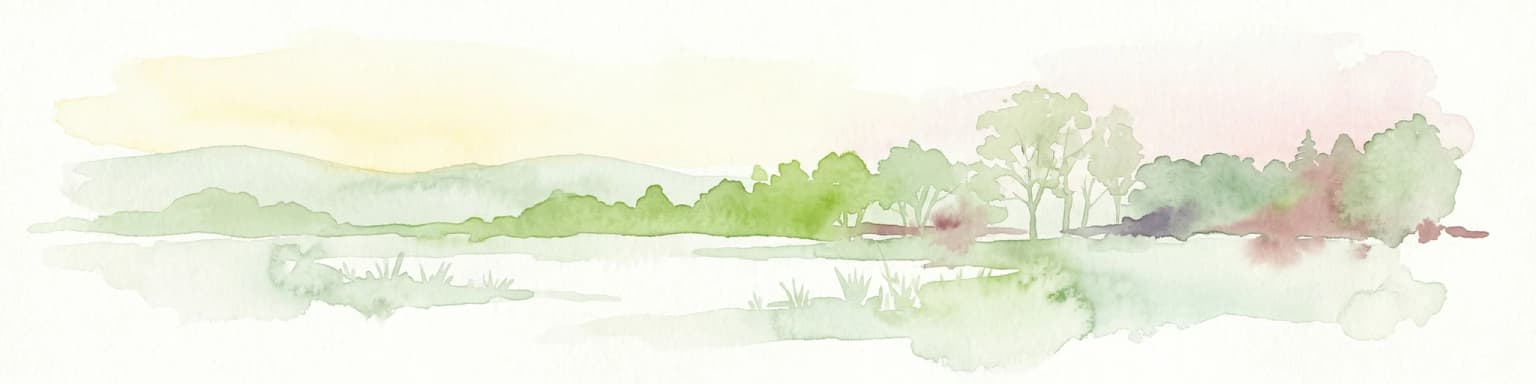
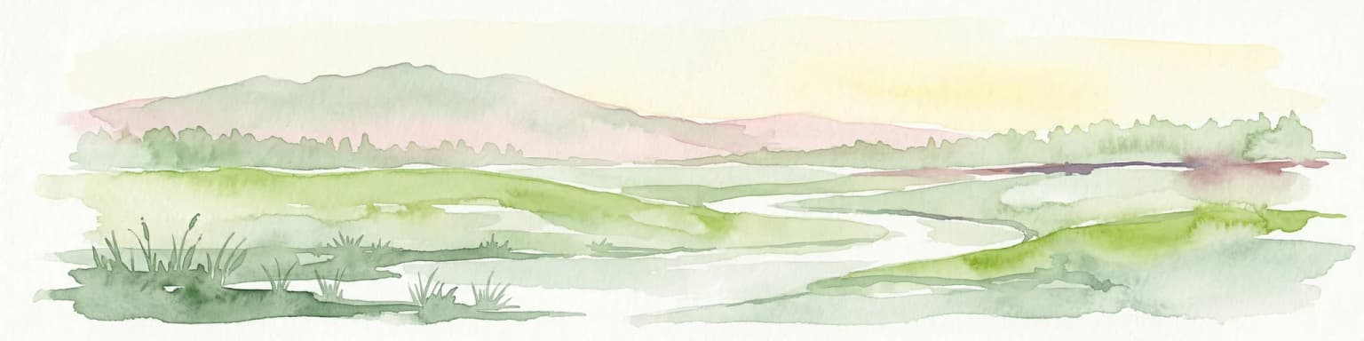
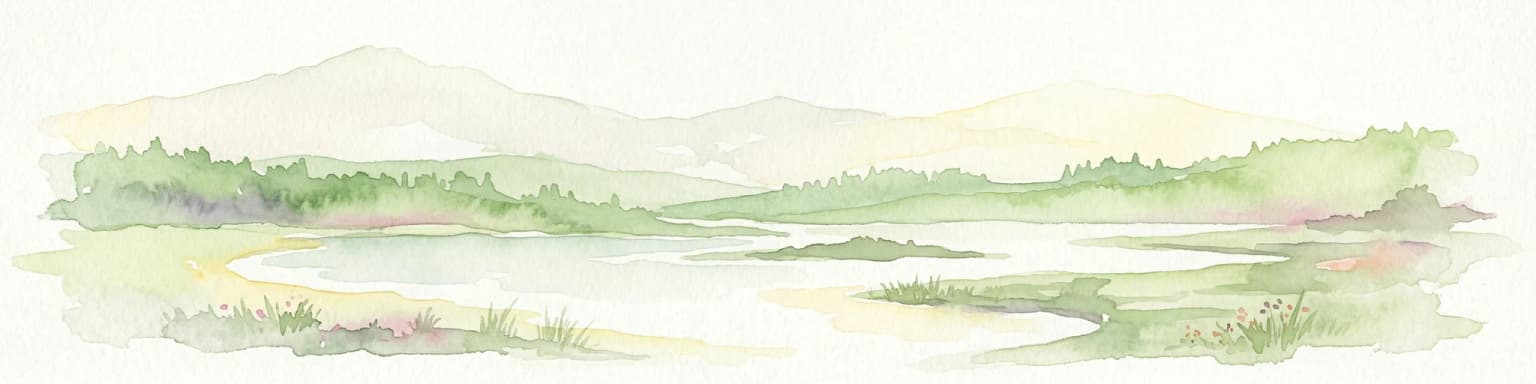
The physical landscape of Lauwersmeer National Park is characterized by its flat, low-lying terrain typical of the Dutch coastal wetlands. The area consists of a complex mosaic of open water, shallow lakes, reed beds, marshy meadows, and former seabed that emerged from the enclosure of the Lauwerszee. The Lauwers River flows from south to north through the area before entering the Wadden Sea through a sluice at Lauwersoog, maintaining the hydrological connection between the freshwater system and the sea. The park's topography is essentially flat, with minimal elevation variation across its wetland expanses. The landscape maintains an open character throughout most of the area, a condition actively preserved through grazing by large herbivores. Scattered woodland patches, notably the Ballastplaatbos in the northern section southeast of Lauwersoog and the Zomerhuisbos near Dokkumer Nieuwe Zijlen in the south, provide visual and ecological variety within the predominantly open terrain. The interplay between water and land, the horizontal horizons, and the expansive skies define the visual character of this protected area.

Lauwersmeer National Park ecosystems, habitats, and plant life

The ecological character of Lauwersmeer is defined by its position at the transition between freshwater and brackish environments within the Wadden Sea region. Since the 1969 enclosure, the former sea basin has progressively freshened, creating a unique habitat gradient that supports both freshwater and brackish species assemblages. The vegetation includes characteristic wetland plants such as the purple-flowered Dactylorhiza maculata and white-flowered Parnassia among the notable orchid and herb species. The open landscape, maintained by grazing Konik horses and Highland cattle alongside regular horses and cows, supports diverse plant communities adapted to periodically flooded conditions. The ecosystem services provided by this wetland area are substantial, including water filtration, flood storage, and carbon sequestration. The park's inclusion in the Wadden Sea World Heritage Site acknowledges the broader ecological significance of this dynamic coastal system.

Lauwersmeer National Park wildlife and species highlights

Lauwersmeer National Park is renowned for its exceptional birdlife, both as a breeding ground and as a critical waypoint in European migratory routes. The breeding bird community includes several species of conservation concern, such as the Eurasian Spoonbill with its distinctive spatulate bill, the Montagu's Harrier nesting in the open grasslands, the bearded Reedling inhabiting reed beds, and the Bluethroat with its striking blue and red throat patch. During the winter months, the park transforms into a major gathering site for hundreds of thousands of migratory birds. Massive flocks of Eurasian Wigeon converge on the wetlands, while Tundra Swans and Barnacle Geese create dramatic scenes across the open water and fields. The Dutch source mentions additional species including Peregrine Falcon and Black-tailed Godwit, further illustrating the avifaunal richness. The presence of large grazing animals including Konik horses and Highland cattle helps maintain the heterogeneous habitat structure that supports this diverse bird community.

Lauwersmeer National Park conservation status and protection priorities

The conservation significance of Lauwersmeer National Park is recognized at both national and international levels. As a component of the Dutch Wadden Sea Conservation Area, the park is part of a UNESCO World Heritage Site acknowledged for its outstanding biodiversity and large, relatively pristine intertidal ecosystem. The Ramsar Convention designated the area as a Wetland of International Importance on 29 August 2000, acknowledging its critical role as waterbird habitat. The national park status, established in 2003, provides a framework for coordinated conservation management by Staatsbosbeheer. The park's recognition as a Dark Sky Park by the International Dark Sky Association in 2016 further extends the conservation perspective to include protection of nocturnal environments and natural darkness. The management approach emphasizes maintaining the open landscape character through traditional grazing practices, supporting the ecological processes that sustain biodiversity.

Lauwersmeer National Park cultural meaning and human context

The cultural landscape of Lauwersmeer reflects the long history of human interaction with the coastal wetlands of the northern Netherlands. The area's name itself derives from the Lauwers River and the former Lauwerszee, an inlet of the Wadden Sea that shaped regional identity and maritime activity. The park contains a noteworthy site known as "Land van juffrouw Ali" (Land of Miss Ali), located south of the village of Lauwersoog. This area is named in honor of a Rijkswaterstaat (National Public Works Agency) employee who conducted research on the plants and animals of this zone during the 1980s, contributing to scientific understanding of the developing ecosystem. The drainage and enclosure of the Lauwerszee represents a significant chapter in the region's history of water management and land reclamation, continuing the Dutch tradition of shaping the relationship between land and sea.

Top sights and standout views in Lauwersmeer National Park

Lauwersmeer stands out as one of the Netherlands' younger national parks, born from the 1969 enclosure of the Lauwerszee and officially established in 2003. The park's exceptional value as a bird sanctuary is evidenced by winter concentrations of hundreds of thousands of migratory birds including wigeon, swans, and geese. The "Land van juffrouw Ali" area is celebrated for its orchid populations, named for the researcher who studied the area's ecology. The Dark Sky Park designation since 2016 makes Lauwersmeer one of the best places in the Netherlands for experiencing natural darkness. The landscape is maintained through traditional grazing by Konik horses and Highland cattle, creating the open character essential for the park's ecological function. Its position within the UNESCO World Heritage Wadden Sea ecosystem connects this national park to one of the world's most important coastal wetland systems.

Best time to visit Lauwersmeer National Park

Lauwersmeer National Park offers distinct seasonal experiences throughout the year. The winter months from November through February bring the most dramatic wildlife spectacles as hundreds of thousands of migratory birds congregate in the wetlands, particularly Eurasian Wigeon, Tundra Swan, and Barnacle Goose. The bare winter landscape allows for excellent visibility of waterfowl flocks against the open terrain. Spring and early summer (April through June) provide optimal conditions for observing breeding birds including Eurasian Spoonbill, Montagu's Harrier, and Bluethroat, while the "Land van juffrouw Ali" displays its orchid bloom in late spring. The summer months offer longer days for exploring the network of walking and cycling routes, though bird activity is lower during the breeding season's quieter periods. Autumn migration brings another wave of birds moving through the area, though less concentrated than the winter gatherings. The Dark Sky status makes autumn and winter nights particularly rewarding for stargazing when clear skies prevail.

Park location guide

Geography guide, regional context, and park location map for Lauwersmeer National Park

Lauwersmeer National Park park geography, regions, and map view in Netherlands
Understand where Lauwersmeer National Park sits in Netherlands through a broader geographic reading of the surrounding landscape, nearby location context, and its mapped position within the national park landscape.

How Lauwersmeer National Park fits into Netherlands

The Netherlands is a low-lying coastal country in Northwestern Europe, famous for its extensive dike and canal systems that reclaim land from the sea. It consists of twelve provinces and is known for tulips, windmills, and cycling culture. The country is a founding member of the European Union with Amsterdam as its capital and The Hague as the seat of government.

Wider geography shaping Lauwersmeer National Park in Netherlands

The Netherlands is located in Northwestern Europe along the North Sea coastline to the north and west. It borders Germany to the east and Belgium to the south. The country is notably flat, with a significant portion of its territory lying below sea level, protected by dikes and dune systems. It consists of twelve provinces and also includes overseas municipalities in the Caribbean.

Map view of Lauwersmeer National Park

Use this park location map to pinpoint Lauwersmeer National Park in Netherlands, understand its exact geographic position, and read its mapped placement within the surrounding landscape more clearly.

Pigeon | © OpenStreetMap contributors

Location context for Lauwersmeer National Park

FrieslandGroningen

Visually trace the evolving character of Lauwersmeer, from its expansive freshwater lake to vital migratory bird habitats and flat, low-lying coastal terrain.

Lauwersmeer National Park Photos: Visualizing Wetland Landscapes and Bird Habitats
Explore a curated collection of imagery capturing Lauwersmeer National Park's distinctive wetland landscapes and the unique character of its protected habitats. These visuals provide insight into the flat, low-lying terrain, expansive freshwater lake, and mosaic of reed beds that define this critical European migratory bird sanctuary.

Tall wooden observation structure in a grassy field with water body and cloudy sky

Park atlas

Trace the regional geography of protected wetlands, coastal reserves, and other national parks in the surrounding Netherlands.

Continue Your Park Discovery: Explore National Parks Near Lauwersmeer National Park
Browse national parks and protected areas located near Lauwersmeer National Park, tracing diverse wetland ecosystems and coastal landscapes across the northern Netherlands. Comparing these protected areas provides valuable insights into regional conservation efforts and their interconnected ecological features, enriching your atlas-style discovery of the Dutch protected landscape.
Watercolor illustration of rolling hills, a winding river, and distant mountains under a pale sky
National parkFriesland

Schiermonnikoog National Park: Protected Landscape and Geographic Atlas

Explore its unique dune systems, salt marshes, and Wadden Sea context.

Schiermonnikoog National Park in Friesland is a testament to actively evolving coastal geography, showcasing dynamic dune formations, extensive salt marshes, and diverse natural habitats. As a protected landscape within the UNESCO Wadden Sea, it offers a unique focus for understanding regional protected areas and the intricate interplay of wind, water, and sediment shaping the North Sea coastline. Discover the park's ecological significance and its mapped terrain through MoriAtlas's structured geographic exploration.

Area
54 km²
Established
1989
IUCN
II
Relief
Lowland
National parkFriesland

De Alde Feanen National Park: Explore Friesland's Historic Peat Bog Landscape

Protected wetland terrain and abundant birdlife in the Netherlands.

Delve into the intricate mapped geography of De Alde Feanen National Park, a national park renowned for its exceptional lowland peat bog ecosystem. This protected area in Friesland showcases a unique terrain comprising shallow lakes, reed beds, and historic peat extraction pools, offering significant ecological and cultural value. The park's landscape provides vital habitats and serves as a testament to the region's long history of human engagement with wetland environments, making it a key destination for atlas-driven geographic discovery.

Area
25 km²
Established
2006
IUCN
II
Relief
Lowland
National parkDrenthe

Drentsche Aa National Park: Preserved Cultural Landscape & River Valley Geography

Explore Drenthe's unique protected lands and mapped terrain.

Drentsche Aa National Park stands as a testament to a landscape preserved from the mid-19th century, offering a rare glimpse into traditional Dutch rural life. Situated in the province of Drenthe, this protected area features one of the last relatively untouched river systems in the Netherlands, characterized by meandering brooks, ancient hedgerows, and distinctive esdorp villages. The park's geography is influenced by the Saalien ice age Hondsrug ridge, creating a unique terrain of heathlands, sand dunes, and rolling landscapes ideal for atlas-based discovery.

Area
100 km²
Established
2002
IUCN
II
Relief
Lowland
Watercolor illustration of a landscape with green fields, trees, a body of water, and distant hills under a light sky
National parkDrenthe

Drents-Friese Wold National Park: Protected Landscape and Geographic Exploration in Drenthe

Explore unique heathlands, drift-sands, and regional natural geography.

This entry details Drents-Friese Wold National Park, a crucial protected landscape in the Drenthe province. Understand its mapped boundaries, distinctive heath and drift-sand terrain, and its significance as a natural area. Discover the park's regional geographic setting and its role in the broader Dutch landscape atlas, providing context for its unique ecological and historical character.

Area
61 km²
Established
2000
IUCN
II
Relief
Lowland
National parkDrenthe

Dwingelderveld National Park: Drenthe's Vast Wet Heathland and Unique Pingo Lakes

Explore a protected landscape of heath, bogs, and ancient geography.

Dwingelderveld National Park represents a significant protected landscape in the Drenthe region of the Netherlands, celebrated as the largest wet heathland in Western Europe. This 37-square-kilometer area provides exceptional opportunities for atlas exploration, revealing a terrain composed of sandy ridges interspersed with waterlogged depressions. The park's defining features include more than forty natural pools, known as vennen, many of which are geologically important pingo-ruins. Discover the rich archaeological heritage, including ancient Celtic fields and burial mounds, all situated within this unique natural setting. MoriAtlas offers a structured view of Dwingelderveld National Park's distinct geography and protected ecological value.

Area
37 km²
Established
1991
IUCN
II
Relief
Lowland
Watercolor painting of a wetland scene with a winding river, grassy areas, and distant hills
National parkOverijssel

Weerribben-Wieden National Park: A Premier Lowland Peat Bog National Park in Overijssel

Explore mapped protected wetlands and unique hydrological landscapes.

Weerribben-Wieden National Park stands as a remarkable example of a large-scale lowland peat bog ecosystem, recognized as the most extensive and well-preserved in Northwestern Europe. Located in the Overijssel province, this protected area showcases a complex mosaic of interconnected waterways, expansive reed beds, and marshy woodlands. Our platform provides structured geographic context, enabling detailed map-based discovery of the park's unique terrain and ecological significance as a vital conservation landscape.

Area
105 km²
Established
1992
IUCN
II
Relief
Lowland
National parkLower Saxony

Lower Saxon Wadden Sea National Park: Protected Coastal Landscape & Geography Atlas

Explore mapped boundaries, intertidal zones, and Lower Saxony's natural terrain.

Delve into the Lower Saxon Wadden Sea National Park, a significant national park situated in Lower Saxony, Germany. This page serves as your atlas entry point for understanding its protected landscape, characterized by vast mudflats, salt marshes, and a crucial role as a migratory bird corridor. Discover the geographic context of this UNESCO World Heritage site and its unique intertidal ecosystem through structured map data and detailed landscape information.

Area
345.8 km²
Established
1986
IUCN
II
Relief
Lowland
National parkNorth Holland

Duinen van Texel National Park: Protected Coastal Dune and Wetland Atlas

Explore the mapped geography and protected landscape of North Holland.

The Duinen van Texel National Park offers a rich exploration of protected coastal dunes and dynamic wetland environments on Texel Island. This atlas-focused page details the park's unique landscape features, including active dune formation at De Hors and the tidal Slufter valley. Understanding its geographic context within North Holland provides a crucial aspect of its protected area status and ecological significance for regional mapped terrain.

Area
43 km²
Established
2002
IUCN
II
Visitors
265K annual

Common questions about visiting, size, designation, and location context for Lauwersmeer National Park

Lauwersmeer National Park FAQs for park facts, access, geography, and protected area context
Find quick answers about Lauwersmeer National Park, including protected-area facts, park geography, trail and visitor context, and how the park fits into its surrounding country and regional landscape.
MoriAtlas Explorer

Continue Your Protected Areas Search Across the Global Atlas

Deepen your exploration by continuing the structured search for national parks and protected areas worldwide. Utilize the comprehensive filtering capabilities to compare different conservation landscapes and refine your understanding of global park geography. Discover more about the distribution and characteristics of protected natural areas.

Global natural geography