
Mapping the connection between Dutch protected areas and diverse natural terrain features
Geographic Natural Features and Protected Landscapes Found in the Netherlands National Park System
Trace the intersection of protected land and natural geography across the Netherlands. This collection organizes named geographic features associated with national parks, enabling structured exploration of water systems, coastal formations, and diverse terrain types that define the regional identity of the Dutch landscape.
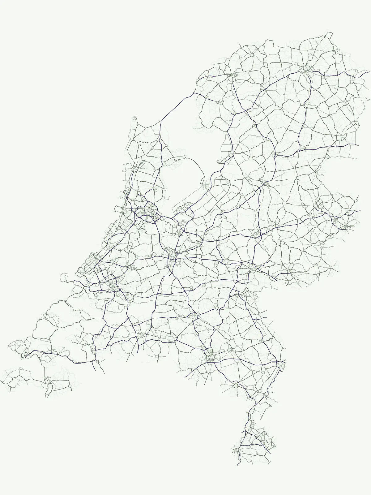
Trace diverse coastal landforms, inland dunes, and delta systems across Dutch reserves
Explore the Named Natural Features and Landmarks of Netherlands National Parks
Examining natural channels within Dutch protected landscapes.
Streams
Analyze the distribution of named streams throughout the Netherlands. This resource provides a detailed look at how individual watercourses are situated within protected park environments, offering insights into their role in regional hydrology and natural terrain formation.
Regional landscape context and riverine data
Rivers
Access a structured inventory of river systems linked to the protected natural landscapes of the Netherlands. This resource focuses on the geographic distribution of watercourses, their channels, and their presence within official park boundaries to support detailed analysis of Dutch riverine terrain.
Regional analysis of Dutch island landscapes
Islands
Explore a structured collection of islands identified within the protected areas of the Netherlands. This resource provides geographic context, mapped boundaries, and technical descriptions for these landforms, offering a clear view of how these isolated territories integrate into the wider national landscape and conservation network.
Geographic atlas of Dutch inland water basins
Lakes
Access a structured inventory of lakes and natural water basins located within the protected regions of the Netherlands. Each entry outlines the basin setting and physical context, providing a clear understanding of how these water bodies integrate into the broader geographic terrain of the country.
Mapping coastal geometry within the Dutch landscape
Peninsulas
Browse the geographic profile of peninsulas found throughout the Netherlands. This curated data set highlights land projections surrounded by water and their physical placement relative to protected natural areas. Understand the spatial characteristics of these features as they connect to the mainland, offering a clear view of the diverse coastal terrain found within Dutch national boundaries.
Documenting elevated terrain across the Netherlands
Peaks
Investigate the distribution of named peaks and summit features throughout the Netherlands. This resource provides a focused examination of elevated landforms, including identified ridges and massifs, helping to clarify the topographic profile of the country through a structured, map-based approach to regional landform data.
Coastal sediment analysis in the Netherlands
Beaches
This collection maps individual beach formations across protected landscapes in the Netherlands. Each entity represents a distinct shore zone composed of loose sediments, providing insight into the physical dynamics of coastal and inland water boundaries within the national territory.
Coastal water bodies and regional shoreline mapping
Bays
Analyze the distribution and geometry of bays throughout the Netherlands. This resource provides a focused look at how specific water enclosures relate to nearby protected lands, emphasizing the natural terrain and regional coastal characteristics without extraneous travel or logistical data.
Mapping regional straits and coastal natural geography
Straits
Explore the distinct straits found throughout the Netherlands, characterized by their role as narrow natural passages between landmasses. This collection provides geographic context for how these specific marine features interact with the coastal environment and existing protected landscapes within the country.
Atlas of named drainage paths and eroded terrain features.
Valleys
Identify and compare named valleys located throughout the Netherlands, emphasizing their physical characteristics and role within protected natural environments. This record facilitates geographic analysis of these landforms, focusing on their orientation and formation relative to surrounding river systems and terrain features.
Natural terrain and horizon mapping across the Netherlands.
Viewpoints
Explore an atlas of identified viewpoints within the Netherlands that offer intentional outlooks over diverse protected landscapes. These sites provide a structured way to study the country's coastal features, canals, and unique terrain through targeted observation, ensuring clear geographic context for every recorded location.
Regional collection of protected water influenced landscapes
Wetlands
Discover a structured geographic overview of identified wetland systems within the Netherlands. This resource provides a focused mapping of bogs, marshes, and seasonal floodplains, detailing the physical settings where water saturation determines the character of protected regional landscapes.
Continue Exploring Protected Landscapes and Park Geography Across the Netherlands
Deepen your understanding of the Netherlands' natural heritage by examining its national parks and protected areas. This atlas-style exploration allows for effective comparison of mapped landscapes and regional geography. Continue browsing to uncover the full scope of conservation efforts and the unique geographic characteristics of each protected natural area.