Hirkan National Park
Explore mapped boundaries and unique regional geography.
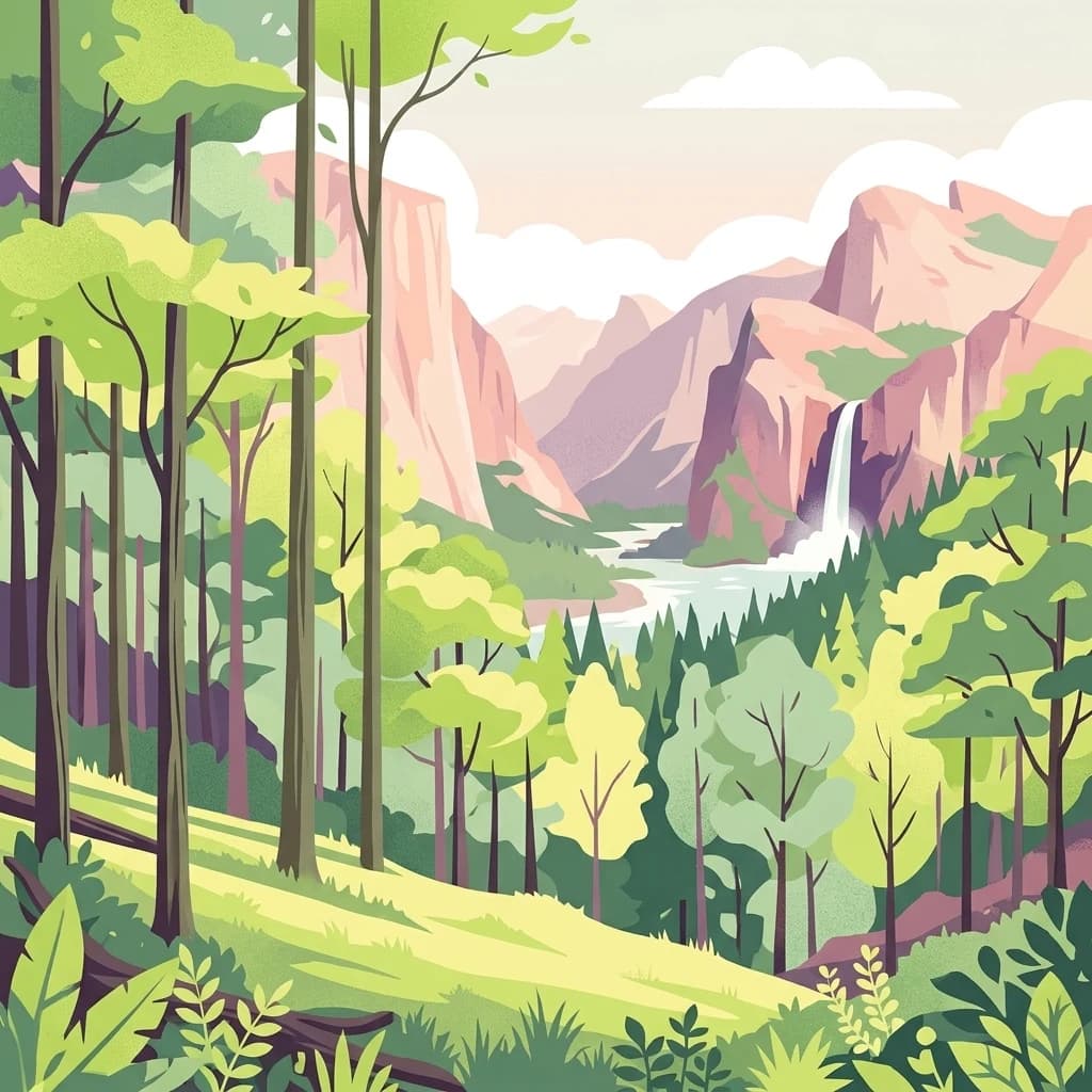
Hirkan National Park, in Lankaran District, Azerbaijan. Landscapes: mountains, forests, and valleys.
- Area
- 403.58 km²
- Established
- 2004
- IUCN
- II
- Relief
- Mixed relief
Browse mapped protected landscapes and natural terrain across Azerbaijan's diverse geography.
Explore maps and profiles of protected areas in Azerbaijan, including Hirkan and Gobustan.

Comparing the geographic scale, history, and diverse climate zones of South Caucasus reserves.
Known protected area
Area data available for 15 of 16 parks.
Median park size
Median across 15 parks with known area.
Explore the mapped geography and regional spread of Azerbaijan's conservation landscapes
Azerbaijan is a unitary semi-presidential republic and one of six independent Turkic states. It declared independence from the Soviet Union in 1991 after nearly seven decades of Soviet rule. The country occupies 86,600 km² and has a population of approximately 10.3 million. It is known for its strategic location at the crossroads of Europe and Asia, its oil industry heritage, and its diverse cultural influences from Persian, Russian, and Turkic traditions.
The Republic of Azerbaijan is a transcontinental nation spanning the boundary between Western Asia and Eastern Europe. Located in the South Caucasus, it borders the Caspian Sea to the east, with Russia, Georgia, Armenia, Turkey, and Iran as its neighbors. Following the dissolution of the Soviet Union, Azerbaijan regained independence in 1991 and adopted its current constitution in 1995. The country has a mixed economy with significant oil and gas reserves, agriculture, and tourism sectors.
Explore Azerbaijan's diverse protected landscapes and national parks from a cartographic perspective.

Explore mapped boundaries and unique regional geography.
Hirkan National Park, in Lankaran District, Azerbaijan. Landscapes: mountains, forests, and valleys.

Semi-desert topography and protected archaeological heritage in the South Caucasus region.
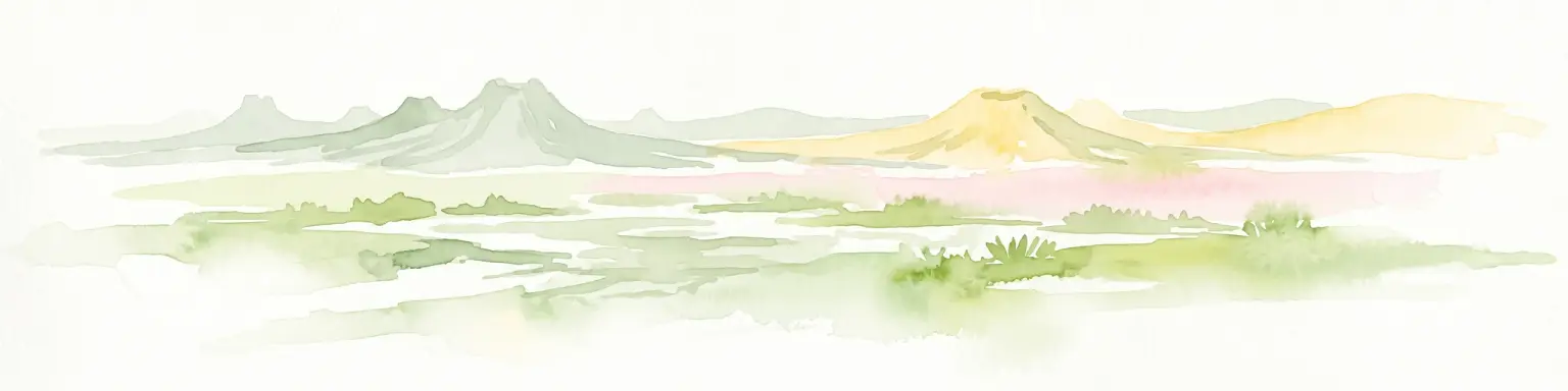
Gobustan State Reserve, in Azerbaijan. Landscapes: cliffs, caves, and volcanoes.

Explore the Greater Caucasus protected area and its unique ecosystems.
Shahdag National Park is the largest protected area in Azerbaijan, encompassing a significant portion of the Greater Caucasus mountain range. This national park is renowned for its dramatic elevation changes, creating diverse ecosystems that transition from dense, old-growth montane forests to high-alpine meadows and rugged, rocky summits. The park's landscape is defined by its towering peaks, including Mount Bazardüzü, the nation's highest point, and provides critical habitat for endemic species like the East Caucasian tur. Use this page to begin your atlas-based exploration of Shahdag National Park's protected geography and its distinctive natural terrain.

Explore Azerbaijan's most visited national park and its rich geographic context.
Göygöl National Park is a key protected area in Azerbaijan, renowned for the crystal-clear alpine Lake Göygöl and its surrounding dense forests within the Lesser Caucasus mountains. This national park showcases over 420 plant species, significant wildlife populations, and dramatic mountainous terrain, making it a prime destination for understanding regional landscape diversity and protected land value. Use MoriAtlas to explore its mapped boundaries and connect it to the broader geographic context of Azerbaijan.

Explore dramatic glacial terrain and the highest Lesser Caucasus peaks.
Zangezur National Park encompasses a significant portion of the Zangezur mountain range, presenting a striking high-altitude protected landscape within Ordubad District, Azerbaijan. Its geography is characterized by rugged alpine features, extensive glacial formations, and dramatic elevation changes culminating in the Gemiqaya summit. This park serves as a vital refuge for diverse ecosystems and is distinguished by its role in preserving the highest mountain terrain in Azerbaijan's Lesser Caucasus, offering a unique focal point for geographic and protected-area exploration.

Discover the mapped landscape, gazelle habitats, and wetland geography.
Shirvan National Park, located in Azerbaijan's Shirvan Lowland, safeguards a remarkable semi-desert environment situated on a former Caspian Sea floor. This protected area is distinguished by its low-lying terrain, ancient coastal ridges, and dune formations, providing essential habitat for the world's largest concentration of goitered gazelles. Wetlands around Çala Lake also support significant migratory bird populations, making Shirvan a crucial protected landscape for both terrestrial and avian wildlife and a key site for regional geographic study.

Explore mapped geography and semi-desert terrain near Baku.
Absheron National Park, located near Baku on the Absheron Peninsula, is a significant national park safeguarding coastal Caspian Sea environments. Its protected landscapes feature semi-arid terrain and are vital for the conservation of Caspian seals and migratory waterbirds. MoriAtlas provides a structured overview of this unique protected area, focusing on its geographic features, ecological importance, and its role as a key national park within Azerbaijan's atlas of natural reserves.
Regional geography and wetland terrain in Lankaran District
Spanning the shallow inlets of the southwestern Caspian Sea, Ghizil-Agaj State Reserve represents a critical protected wetland area. Its geography is defined by a transition between open water, marshy coastal strips, and salt-affected semi-desert zones. By analyzing the reserve's boundaries and hydrological features, one gains a clearer understanding of how this significant natural landscape functions within the broader environmental context of the South Caucasus.

Explore the mapped boundaries and temperate deciduous forests.
Altyaghach National Park is a key protected area in Azerbaijan, safeguarding a significant portion of the Greater Caucasus's temperate deciduous broadleaved forest ecosystems. Covering over 11,000 hectares, the park is instrumental in preserving biodiversity and restoring natural habitats, notably providing refuge for the rare East Caucasian tur and other protected species. Its landscape, characterized by rolling to steep terrain and diverse forest cover reaching approximately 941 meters in elevation, makes it a representative example of Caucasus mountain conservation within the country.

Azerbaijan Protected Wetland & Bird Sanctuary
Ag-Gel National Park is a protected wetland significant for migratory birds. Its landscape features a complex lake system and extensive reed beds, making it a vital conservation area in the Caspian region.
Nature reserve in the Lesser Caucasus of Azerbaijan
Basut-Chay State Reserve protects a significant riverine landscape dominated by centuries-old Oriental plane trees. Located within the Zangilan District, the area showcases a compact ecological gradient featuring alluvial river terraces and steep mountain slopes. This strict nature reserve provides a essential reference for studying Caucasian floodplain forest remnants and mountain valley topography.

Ancient broadleaf woodlands within the Greater Caucasus mountain range.
Zagatala State Reserve protects a critical mountainous region in northern Azerbaijan, known for its extensive oak and beech forests, rugged karst formations, and dramatic river-carved topography. The area supports rare Caucasian fauna and offers an intact look at the natural landscape transitions from forested foothills to high mountain meadows.
Understand how Azerbaijan is shaped by terrain, ecosystems, and seasonal conditions
Azerbaijan occupies the eastern portion of the Caucasus region, situated between the Caspian Sea to the east and the Greater Caucasus mountains to the north. The terrain is diverse, featuring lowlands along the Caspian coast, mountainous areas in the north and west, and semi-desert plains in the central regions. The Kura and Aras rivers are major waterways draining into the Caspian Sea.
Azerbaijan's geography encompasses multiple ecosystems, from Caspian coastal wetlands to alpine meadows in the Greater Caucasus. The country contains several protected areas and nature reserves, though specific national parks are not detailed in this overview.
Azerbaijan experiences diverse climate zones ranging from subtropical in the coastal lowlands to cold mountainous conditions in the north. The country generally has warm summers and mild winters, with precipitation varying by region.
Related topics and popular queries
Explore the mapped locations of Azerbaijan's significant protected landscapes and conservation zones.
Explore common inquiries regarding Azerbaijan's varied protected landscapes and park distribution.
Expand your atlas exploration of diverse protected landscapes across neighboring and related country geographies.
Parks and protected areas in Ukraine, including Carpathian National Nature Park and Synevyr.
Parks and protected areas in Cyprus, including Akama Peninsula (Natura 2000 site) and Fountoukodasi Pitsilias.
Parks and protected areas in Turkey, including Göreme and Mount Nemrut National Park.
Parks and protected areas in Israel, including Masada and Qumran.
Parks and protected areas in Iran, including Golestan and Kavir.
Parks and protected areas in Uzbekistan, including Zaamin and Ugam-Chatkal.
Parks and protected areas in Qatar, including Umm Tais and AWWP.
Parks and protected areas in Moldova, including Orhei.
Protected area types
Deepen your understanding of Azerbaijan's natural landscape by continuing to explore its specific park designations. Access detailed information on national parks and other protected area types to comprehend their geographic context and conservation significance. This pathway allows for a more granular discovery of how Azerbaijan classifies and preserves its unique natural heritage, offering valuable insights for any atlas or geography exploration.
Find a park and explore its geography, habitats, and monthly climate.