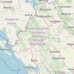
Why Vikos-Aoös National Park stands out
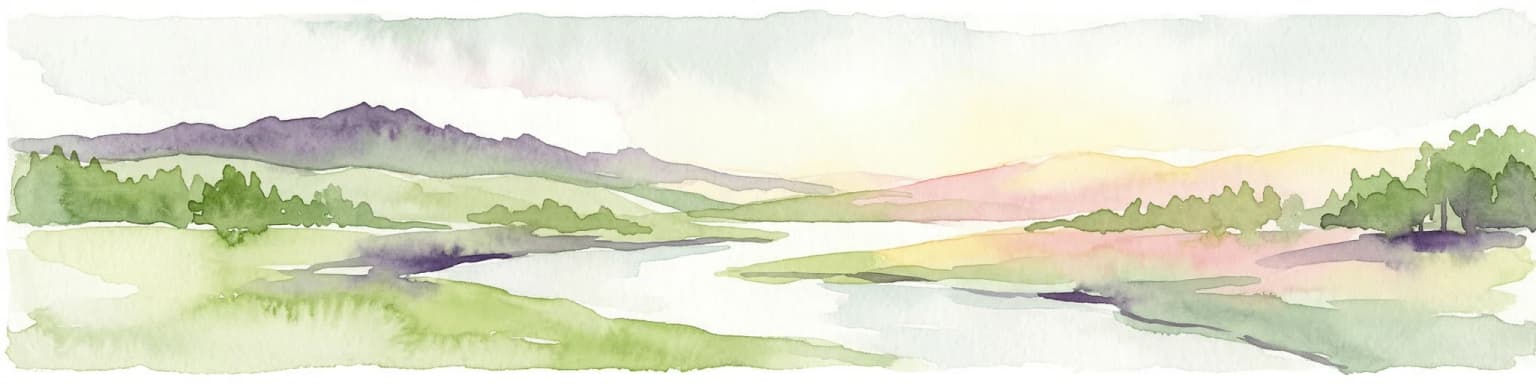
Vikos-Aoös National Park is best known for the Vikos Gorge, one of the world's deepest canyons in proportion to its width, carved by the seasonal Voidomatis river. The park is also renowned as one of the last strongholds of the brown bear in Europe, supporting significant populations of this endangered species alongside lynx, chamois, and wolves. The dramatic alpine landscape features Mount Tymphe with its iconic peaks Gamila and Astraka, the glacial lake Drakolimni (Dragonlake) at 2,000 metres, and an extensive network of traditional stone bridges dating from the 17th to 19th centuries. The area's exceptional botanical diversity includes 1,800 plant species with high endemism, 23% endemic to the Balkans and 5.8% endemic to Greece, alongside traditional herbal medicine heritage from the local 'Vikos doctors.'
Vikos-Aoös National Park history and protected-area timeline
The history of Vikos-Aoös National Park stretches back to the Paleolithic era, with the first human evidence in the area dating between 17,000 and 10,000 years ago. Archaeological findings from a rock shelter on the banks of the Voidomatis river reveal that hunter-gatherers pursued ibex and chamois seasonally through these mountains during favourable climatic periods. Between the 9th and 4th centuries BCE, a small Molossian settlement existed between Monodendri and Vitsa, leaving behind stone houses and cemeteries with significant artifacts. Throughout most of recorded history, the region remained sparsely populated, with land used primarily for pastoralism and firewood collection. During the Ottoman era, particularly from the 17th to the 19th century, the Zagori communities achieved autonomous status within the empire, exempt from the heavy taxation imposed on lowland populations. This period brought prosperity as villagers emigrated to metropolitan centres, achieved professional success, and returned to build luxurious mansions while endowing the region with wealth. It was during this golden age that the famous 'Vikos doctors'—herbal healers using recipes derived from ancient Greek physicians like Hippocrates and Dioscorides—developed and gained renown beyond Greece's borders. Following World War II, urbanization led to widespread depopulation, with many traditional dwellings abandoned and the rural economy in decline. The park was formally designated in 1973 as part of Greek government efforts to conserve the region's natural and cultural heritage, with management shared between district forest offices and with WWF involvement from its Papingo office.
Vikos-Aoös National Park landscape and geographic character
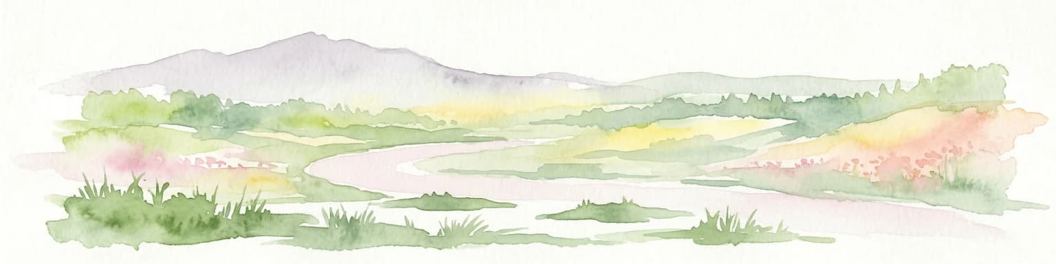
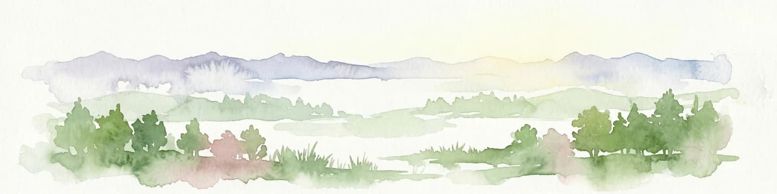
The landscape of Vikos-Aoös National Park is defined by dramatic geological contrasts—from the precipitous depths of the Vikos Gorge to the towering peaks of Mount Tymphe. The Vikos Gorge, carved over millions of years by the Voidomatis river, runs for 20 kilometres through the southern slopes of Tymphe, with its deepest point reaching 900 metres deep and 1,100 metres wide from rim to rim. At its narrowest, the gorge walls converge to just a few metres. The gorge exposes a geological sequence spanning the Eocene limestone in its upper 200 metres, Campanian-era strata between 200 and 700 metres, and Jurassic and Cretaceous limestone below, with grey Jurassic dolomite in the deepest layers. The Aoös Gorge in the northern park stretches 10 kilometres between the mountains Trapezitsa, Tymphe, and Raidovouni, characterized by steep ravines, compact Early Jurassic dolomites—the oldest rocks in the park—and adorned with single-arched stone bridges from the 17th to 19th centuries. Between the gorges, Mount Tymphe's highest peaks—Gamila at 2,497 metres, Astraka at 2,436 metres, Ploskos at 2,400 metres, and Lapatos at 2,251 metres—form an impressive mountain barrier. The Tymphe region bears extensive glacial features from the Late Quaternary period, including lateral and terminal moraines descending to 850 metres, rock glaciers, and limestone pavements. Alpine lakes, most notably Drakolimni at 2,000 metres, dot the high-altitude landscape, while karstic caves and vertical shafts around Papingo—named after Greek mythology as the Hole of Odysseus and Chasm of Epos—attract speleologists from around the world.
Vikos-Aoös National Park ecosystems, habitats, and plant life
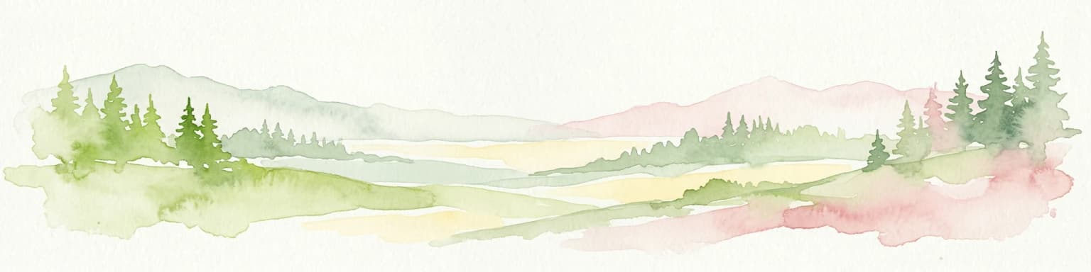
The ecological diversity of Vikos-Aoös National Park stems from its dramatic elevation range, varied topography, and complex climate, creating multiple distinct habitat zones within a relatively compact area. Below 1,500 metres, sub-Mediterranean woodland dominates, featuring deciduous broadleaf forests of oak, beech, and hophornbeam mixed with coniferous forests of pine and fir. Along the Voidomatis river, eastern plane trees form an azonal gallery forest, while the Papingo area showcases diverse juniper species including Juniperus communis, foetidissima, oxycedrus, and excelsa—some specimens exceeding 10 metres in height. Above 1,500 metres, subalpine grasslands and rocky cliffs host rare alpine species. The park supports extraordinary botanical richness with over 1,800 plant species documented, remarkable given its relatively modest area. The degree of endemism is exceptionally high—23% of species are endemic to the Balkans and 5.8% endemic to Greece alone. Non-vascular flora includes approximately 150 moss species, including one newly described taxon. The area's traditional herbal medicine heritage is reflected in over 250 medicinal, aromatic, and poisonous plant taxa recorded, many once harvested by the local 'Vikos doctors' using recipes tracing to Hippocrates and Dioscorides.
Vikos-Aoös National Park wildlife and species highlights
Vikos-Aoös National Park harbours one of the richest mountain and forest ecosystems in Greece, with wildlife diversity that ranks among the highest in the country. The Pindus mountain range, of which the park forms a part, represents the southernmost European habitat for two of the continent's most iconic endangered species—the brown bear and the lynx. The park is considered one of the last strongholds of the brown bear in Europe, while wolves, foxes, wild horses, and roe deer maintain year-round populations throughout the area. The Tymphe region supports otters and the rare wild cat, while the chamois inhabits the high rocky cliffs of the gorges, particularly in the Megas Lakos secondary ravine of Vikos Gorge. Bird diversity is exceptional, with 121 species recorded—26 of conservation priority—including fifteen raptor species. The subalpine zone hosts populations of hazel grouse, Tengmalm's owl, wallcreeper, and willow tit, while the bird communities of the subalpine and forest ecosystems are considered among the most complete in Greece. Raptors include griffon vulture, Egyptian vulture, peregrine falcon, and common kestrel. Amphibians thrive in the alpine lakes, particularly the alpine newts of Drakolimni, associated with local dragon folktales, while Vipera ursinii inhabits the subalpine meadows as a threatened species. Fish species in the rivers include brown trout, roach, and barbel, and the complex forest structure supports highly diverse invertebrate communities.
Vikos-Aoös National Park conservation status and protection priorities
Vikos-Aoös National Park holds significant conservation status as part of both the European Natura 2000 network and the UNESCO Geoparks program, recognizing its exceptional ecological and geological value. The park's core zone of 3,400 hectares receives the highest protection, where forestry activities, grazing, hunting, and fishing are prohibited by law, though such restrictions do not apply in the peripheral zone. The protection of the brown bear population is particularly significant—this species is endangered throughout Europe, and the Pindus population represents a critical stronghold at the southern edge of the species' European range. Similarly, the lynx population in the area is of pan-European conservation importance. The park's geological significance is equally remarkable, with the Vikos Gorge representing an exceptional natural laboratory for studying karstic processes, glacial history, and geological time scales spanning Jurassic to Eocene periods. Management challenges include erosion, landslides, wildfires, and the impacts of tourism, while the remoteness and lack of road infrastructure make remote sensing the primary tool for monitoring human activities and ecosystem health. The park's management involves both government forest directorates and the WWF office in Papingo, with efforts focused on balancing ecotourism development with preservation of natural and cultural heritage.
Vikos-Aoös National Park cultural meaning and human context
The cultural heritage of Vikos-Aoös National Park is inseparable from the landscape it inhabits, particularly in the Zagori region that encompasses most of the park's settlements. The villages of Zagori—four within the park and nine near its borders—bear testament to a prosperous historical period when, from the 17th to 19th centuries, the communities achieved autonomous status within the Ottoman Empire. This prosperity, derived from trade and emigration, is reflected in the architectural richness of the villages, where traditional stone mansions, churches, and the characteristic nucleus-like layout with houses surrounding central squares built of slate and cobblestone have been preserved. A law now mandates that all buildings in the area must use traditional materials and comply with local architectural style. Sixteen stone bridges and seven churches in the region are listed as protected historical monuments—these single-arched bridges were the only connections to the outside world until roads were built in the 1950s. The tradition of herbal healing by the 'Vikos doctors' developed during this period, using plants from the gorge area in recipes derived from ancient Greek sources. Human presence extends much further back, with evidence of hunting activities 17,000 to 10,000 years ago and Molossian settlements from the 9th to 4th centuries BCE. Today, the area faces depopulation and economic challenges, though ecotourism offers potential for sustainable development that preserves both natural and cultural heritage.
Top sights and standout views in Vikos-Aoös National Park
Vikos-Aoös National Park offers an exceptional combination of natural wonders and cultural heritage within a compact mountain landscape. The Vikos Gorge stands as the park's centrepiece—one of the world's deepest canyons, with walls reaching 1,000 metres and widths varying from 2,500 metres to mere metres, earning it a place in the Guinness Book of Records. Above the gorge, the alpine lakes of Mount Tymphe, particularly the legendary Drakolimni at 2,000 metres, sit beneath towering peaks offering dramatic hiking opportunities. The traditional stone villages of Zagori, with their preserved architecture and the iconic arched bridges that once connected isolated communities, provide cultural context to the wilderness experience. Wildlife viewing offers chances to encounter brown bears, lynx, and chamois in their natural habitat—one of Europe's most significant conservation areas. The network of caves and vertical shafts around Papingo, including the 408-metre deep Provatina cave discovered by British speleologists in 1965, attracts explorers from worldwide. Hiking the Vikos Gorge trail, typically taking six to seven hours, or climbing to the Tymphe peaks provides access to landscapes of extraordinary beauty and geological significance.
Best time to visit Vikos-Aoös National Park
The best time to visit Vikos-Aoös National Park depends on what visitors seek to experience. Summer months from June to September offer warm, dry conditions ideal for hiking the gorges and peaks, with daytime temperatures in the valleys reaching 22°C in July but remaining cool at higher altitudes. This period sees the highest visitor numbers, and the Voidomatis river flows year-round only in its lower sections, making some gorge sections challenging. Spring and autumn bring fewer visitors and the landscape transforms with seasonal colours, though weather becomes less predictable and some trails may be affected by seasonal conditions. Winter transforms the park dramatically, with heavy snowfall in the mountains creating a completely different landscape, though access to higher elevations becomes limited and some facilities may close. The park experiences a Mediterranean-continental climate with significant temperature variation—exceeding 40°C between mean maximum and minimum annual temperatures—with precipitation concentrated in winter months and a two to three month summer drought period. For wildlife viewing, the brown bears are most active in spring and autumn, while the alpine lakes support amphibian activity during the warmer months.