Mori Atlas logo
National parkPindus National Park

Discover the rugged terrain, ancient forests, and vital wildlife habitats of this Greek national park.

Pindus National Park: Protected Mountain Landscape and Geographic Atlas Entry

(Ethnikós Drymós Píndou (Εθνικός Δρυμός Πίνδου))

Pindus National Park, established in 1966, represents a significant protected mountainous area within mainland Greece, spanning the border of West Macedonia and Epirus. This entry on MoriAtlas focuses on its rugged highland terrain, deep valleys, and peaks exceeding 2,000 metres, offering a detailed geographic and atlas perspective. Explore the mapped boundaries and landscape context of this important conservation area, known for its unique ecosystems and biodiversity.

National ParkMountain WildernessBrown Bear HabitatOld-Growth ForestPindus MountainsNatura 2000
Illustration of a mountainous landscape featuring a lake, pine trees, and cliffs under a light blue sky.

Pindus National Park

National park

Park overview

Structured park overview, official facts, and landscape profile for Pindus National Park

Pindus National Park park facts, protected area profile, and essential visitor context
Review the core facts for Pindus National Park, including designation, size, terrain, visitor scale, habitats, and operating context in one park-focused overview.

About Pindus National Park

Pindus National Park protects a representative section of the Pindus mountain range in northern Greece, an area of outstanding ecological significance that remains relatively unknown even within Europe. The park's defining feature is the Valia Calda, a sheltered valley surrounded by a ring of peaks forming a natural amphitheatre opening to the west. This mountainous landscape of dense forests, alpine meadows, rocky ridges, and pristine rivers represents one of the last true wilderness areas in Greece. The protection of this landscape is critical not only for its biodiversity but also for its role in maintaining ecological processes in the broader Pindus ecosystem. The park was established in 1966 and remains one of the least visited and least signposted national parks in Europe, a fact that has both protected its ecological integrity and limited public awareness of its natural treasures.

Quick facts and research context for Pindus National Park

Pindus National Park occupies a remote highland position on the borders of Grevena and Ioannina regional units, north of the town of Metsovo, with no settlements within its boundaries. The park's elevation ranges from 1,076 to 2,177 metres, with several peaks including Avgo, Kakoplevri, Flegga, and Aftia surpassing 2,000 metres. The core protected zone encompasses 3,360 hectares centered on the Valia Calda valley and surrounding slopes. The underlying serpentine rock formations support specialized plant communities, while the montane climate features annual rainfall between 1,000 and 1,800 millimetres.

Park context

Deeper park guide and search-rich context for Pindus National Park

Pindus National Park history, landscape, wildlife, and travel context
Explore Pindus National Park through its history, landscape character, ecosystems, wildlife, conservation priorities, cultural context, and seasonal travel timing in a structured park guide built for atlas discovery and search intent.

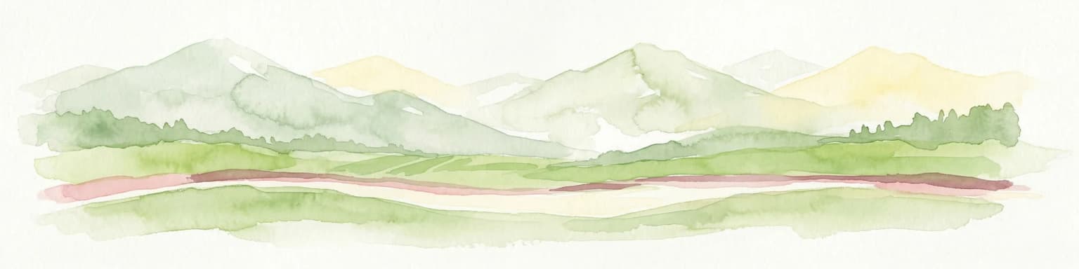
Why Pindus National Park stands out

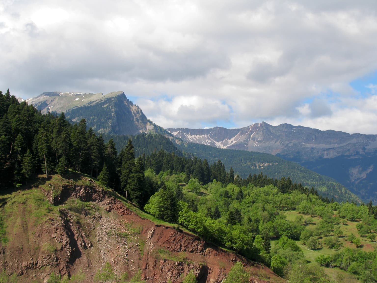
Pindus National Park is best known as one of only three locations in Greece that supports a viable population of Eurasian brown bears, a conservation priority species. The park's old-growth forests of European black pine and common beech, some exceeding 700 years in age, represent some of the most pristine woodland in the Pindus range. The area also supports exceptional biodiversity including lynx, Balkan chamois, wolves, and over 80 bird species including golden eagles, eastern imperial eagles, and eight woodpecker species. The dramatic landscape of the Valia Calda valley, flanked by towering peaks and traversed by clear mountain streams, offers one of Greece's most unspoiled wilderness experiences.

Tall pine trees and rocky mountain slopes in a forested landscape
Dense forest landscape in Pindus National Park with rocky mountain slopes

Pindus National Park history and protected-area timeline

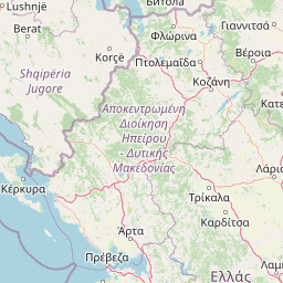
Pindus National Park was established in 1966 as part of Greece's early efforts to protect representative samples of the country's mountain ecosystems. The area had long been known to local communities as Valia Calda, the 'Warm Valley', a reference to the relatively mild climate of the sheltered valley compared to the surrounding high ridges. Prior to formal protection, the forests were subject to logging and the valley was used for seasonal grazing. In 2003, administrative authority passed to the Northern Pindus Management Body, which oversees ecological management for a network of eight protected areas in the region. Archaeological evidence suggests the broader area has been inhabited since antiquity, with findings near Perivoli indicating use during Archaic and Classical periods, and settlements in the Vovousa-Perivoli area dating from Hellenistic through Late Roman times.

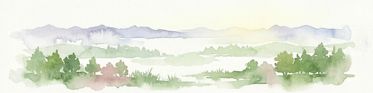
Pindus National Park landscape and geographic character

The physical landscape of Pindus National Park is characterized by dramatic alpine terrain featuring steep rocky ridges, deep valleys, and numerous peaks exceeding 2,000 metres. The Valia Calda valley forms the core of the park, a sheltered depression surrounded by peaks that create a distinctive microclimate. Prominent summits include Avgo at 2,177 metres, Kakoplevri at 2,160 metres, and Flegga at 2,159 metres, all forming part of the Lyngos mountain massif that encircles the valley. The terrain is traversed by clear mountain streams, including the Arkoudorema river and its tributaries Salatura and Zestorema, which flow through the valley before joining the Aoos river system. The underlying geological substrate is dominated by serpentine and peridotite formations, creating nutrient-poor soils that support specialized plant communities distinct from the surrounding limestone mountains.

A calm lake surrounded by grassy terrain with tall trees and mountain peaks in the background
A serene lake reflecting trees and distant mountains in Pindus National Park

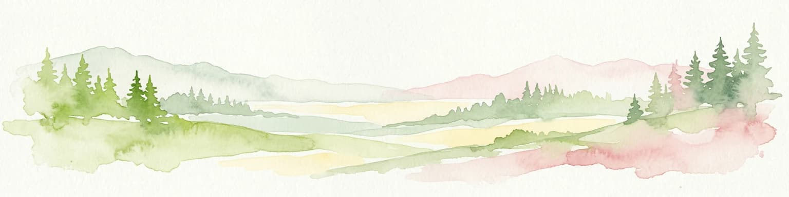
Pindus National Park ecosystems, habitats, and plant life

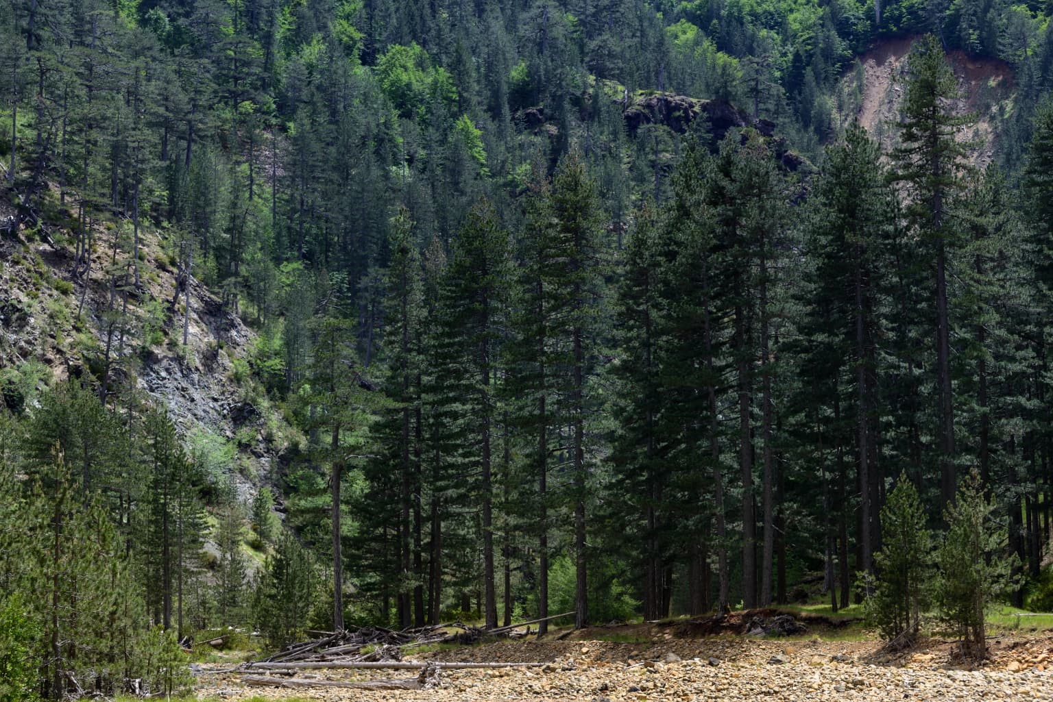
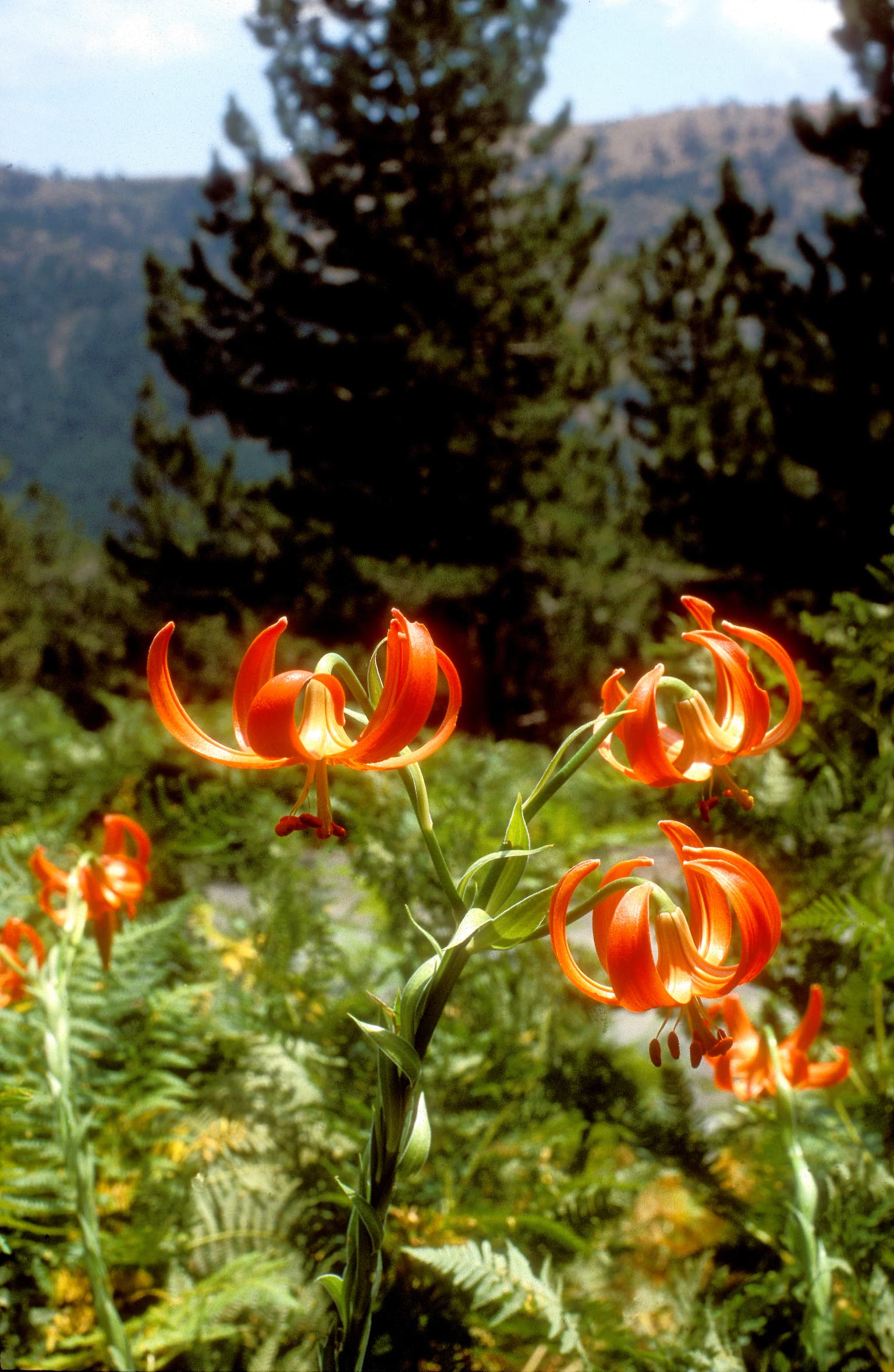
The ecological character of Pindus National Park is defined by a sequence of distinct vegetation zones reflecting the elevation gradient. European black pine and common beech forests dominate the lower and middle altitudes between 1,000 and 1,600 metres, with some trees exceeding 700 years old. Bosnian pine woodland becomes dominant at higher elevations between 1,600 and 1,900 metres, while the highest zones above 1,900 metres consist of treeless alpine meadows with specialized herbaceous vegetation. The park supports remarkable plant diversity with 415 documented plant species and 86 mushroom species. Many species are endemic to the Balkans or central and northern Greece, including Centaurea vlachorum, Minuartia baldacci, Campanula hawkinsiana, and Viola dukadjinica. The serpentine soils favor rare endemic species that cannot survive on more fertile substrates, making this one of Greece's most botanically significant protected areas.

Stone arch bridge over a river with rocky cliffs and vegetation in the background
Old stone arch bridge spanning a river with rocky cliffs in Pindus National Park

Pindus National Park wildlife and species highlights

The wildlife of Pindus National Park is remarkable for the presence of several large mammal species that are rare or absent from most of Greece. The park is one of only three areas in the country supporting a population of Eurasian brown bears, whose conservation here is considered a priority. Other large mammals include lynx, roe deer, and European wildcat, the latter two particularly associated with the Flegga forest area. Wolves, beech martens, wild boars, and red squirrels are present year-round throughout the park. The Balkan chamois, a subspecies endemic to the Balkans, inhabits the steep rocky areas and beech forest zones, with population density varying from 3-5 to 20 individuals per 100 hectares depending on habitat quality. The clear mountain streams support healthy otter populations, while the avifauna includes over 80 species with notable raptors such as eastern imperial eagle, golden eagle, Levant sparrowhawk, and lanner falcon. The mature forests host eight woodpecker species, including white-backed, middle spotted, lesser spotted, and black woodpeckers.

Panoramic view of the Pindos mountain range with dense forests, rocky hills, and distant peaks under a partly cloudy sky.
Pindos mountain range north of Neraidochori village, Greece.

Pindus National Park conservation status and protection priorities

Pindus National Park holds significant conservation importance at both national and European levels, forming part of the Natura 2000 network of protected areas. The core zone has been designated a biogenetic reserve by the European Council, with strict protections prohibiting woodcutting, grazing, hunting, fishing, and vehicle access. The park's conservation significance is underscored by its role as a refuge for species that have been lost from much of Greece, particularly the Eurasian brown bear population. However, the park faces ongoing challenges including proposals to divert the Arkoudorema river for hydroelectric development, which would flood portions of the forest and reduce the core zone. Grazing pressure in core areas and the presence of coal-producing units at the park's periphery also raise conservation concerns. Management has been complicated by insufficient expertise and the absence of a science-based management plan.

Pindus National Park cultural meaning and human context

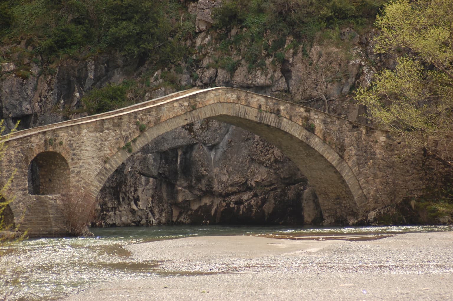
The area surrounding Pindus National Park has a rich cultural history reflecting its position as a mountain crossroads. The nearby villages of Vovousa, Perivoli, Milea, and Perivoli have been inhabited since antiquity, with archaeological findings near Perivoli revealing burial sites with bronze artifacts from the Archaic and Classical periods. During Ottoman rule, villages like Vovousa, Flambouriari, and Greveniti, as part of the Zagori region, enjoyed special administrative and economic privileges related to their control of mountain passes. The traditional economies of logging and nomadic livestock husbandry shaped both the landscape and the cultural identity of the region. The Aromanian name Valia Calda (Warm Valley) reflects the presence of Aromanian-speaking communities in the area. The park remains close to traditional mountain communities whose ancestors have inhabited these valleys for generations.

Orange lilies with curled petals in a forested mountain landscape
Orange Lilium chalcedonicum flowers in their natural habitat within Pindus National Park

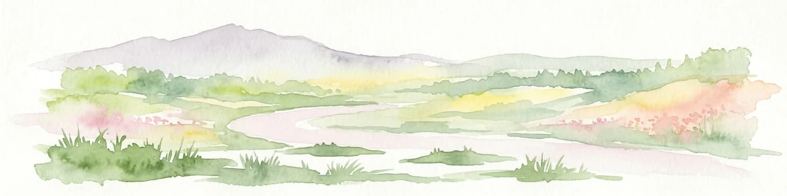
Top sights and standout views in Pindus National Park

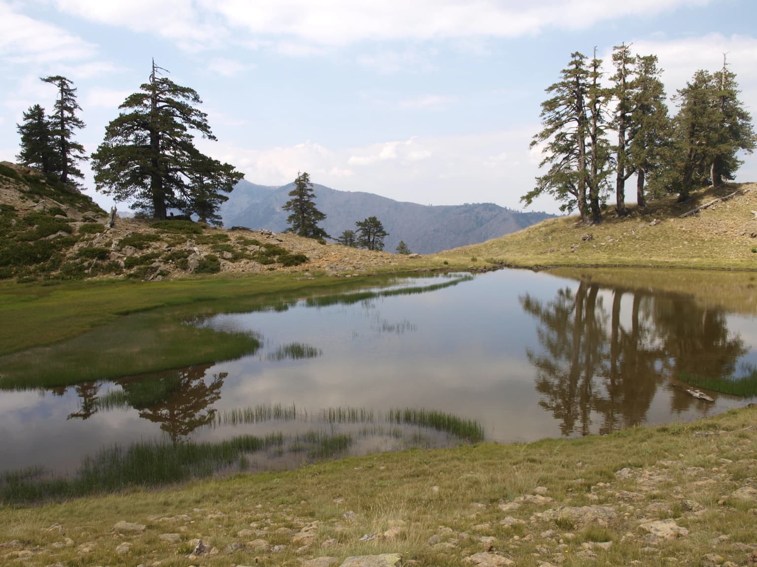
Pindus National Park offers exceptional wilderness qualities that distinguish it from other Greek protected areas. The Valia Calda valley, with its old-growth forests and dramatic mountain backdrop, represents one of the most unspoiled landscapes in mainland Greece. The presence of brown bears, lynx, and chamois makes this one of the best places in Greece for observing large mammals in their natural habitat. The avifauna is equally impressive, with eight woodpecker species and several rare raptors breeding in the area. The twin lakes known as 'Dragon Lakes' (Drakolimnes) beneath the Flegga peak, at an elevation of 1,960 metres, add to the landscape's distinctiveness. Despite these remarkable qualities, the park remains one of the least visited in Europe, offering a genuine wilderness experience for those who venture into this remote corner of the Pindus mountains.

A dirt path surrounded by tall pine trees under a partly cloudy sky
Dirt trail winding through dense pine forest in Pindus National Park, Greece

Best time to visit Pindus National Park

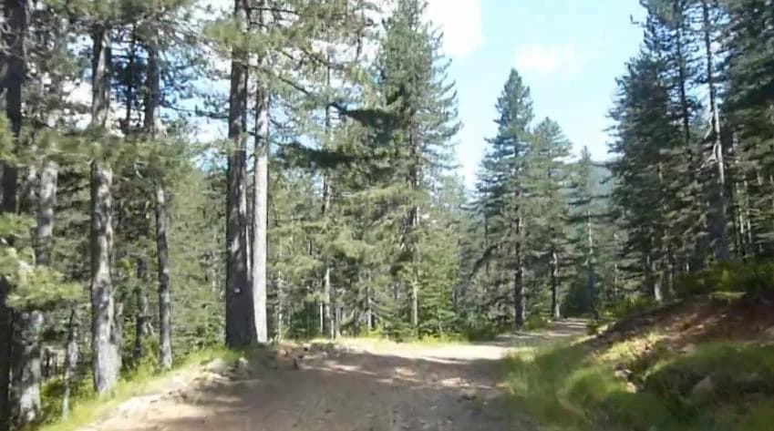
The best time to visit Pindus National Park depends on what visitors hope to experience. Summer months (June through September) offer the most reliable access, with warm days, snow-free trails, and the opportunity to see wildlife in the alpine meadows. Autumn brings spectacular fall colours in the beech and pine forests and offers good wildlife viewing opportunities as animals become more active. Winter access is limited by snow and the closure of mountain roads, though the stark landscape has its own appeal for experienced winter visitors. Spring (April through May) sees melting snow, flowing waterfalls, and emerging wildflowers but can also bring unstable weather. The park is accessible year-round from the village of Perivoli in Grevena, though the climbing resort near Mavrovouni peak at 1,950 metres provides an ideal base for summer excursions.

Park location guide

Geography guide, regional context, and park location map for Pindus National Park

Pindus National Park park geography, regions, and map view in Greece
Understand where Pindus National Park sits in Greece through a broader geographic reading of the surrounding landscape, nearby location context, and its mapped position within the national park landscape.

How Pindus National Park fits into Greece

Greece, officially the Hellenic Republic, is a country in Southeast Europe occupying the southern Balkans. It borders Albania, North Macedonia, Bulgaria, and Turkey, with coastlines on the Aegean, Ionian, and Mediterranean seas. The country has over 10 million people and is renowned for its ancient Greek heritage, philosophy, democracy, and the Olympic Games.

Wider geography shaping Pindus National Park in Greece

Greece occupies the southern tip of the Balkan peninsula in Southeast Europe. It shares land borders with Albania to the northwest, North Macedonia and Bulgaria to the north, and Turkey to the east. The Aegean Sea lies to the east of the mainland, the Ionian Sea to the west, and the Sea of Crete and Mediterranean Sea to the south. The country spans thousands of islands across nine traditional geographic regions and has the longest coastline in the Mediterranean basin.

Map view of Pindus National Park

Use this park location map to pinpoint Pindus National Park in Greece, understand its exact geographic position, and read its mapped placement within the surrounding landscape more clearly.

Pigeon | © OpenStreetMap contributors

Location context for Pindus National Park

EpirusWest Macedonia

Explore the Rugged Terrain, Ancient Old-Growth Forests, and Critical Habitats within this Greek National Park

Pindus National Park Photos: Visual Guide to Greece's Mountain Wilderness and Protected Landscapes
The image gallery offers a visual exploration of Pindus National Park, showcasing its dramatic alpine landscapes, old-growth forests, and the rugged Valia Calda valley. Reviewing these photographs provides essential insight into the park's distinctive mountain terrain, critical brown bear habitats, and its overall protected-area character.

Tall pine trees and rocky mountain slopes in a forested landscape

Mountain lake surrounded by grassy hills and scattered trees in Pindus National Park

A calm lake surrounded by grassy terrain with tall trees and mountain peaks in the background

Stone arch bridge over a river with rocky cliffs and vegetation in the background

Panoramic view of the Pindos mountain range with dense forests, rocky hills, and distant peaks under a partly cloudy sky.

Green meadow with scattered trees, forested hills, and distant mountains under a partly cloudy sky

Orange lilies with curled petals in a forested mountain landscape

A dirt path surrounded by tall pine trees under a partly cloudy sky

Park atlas

Compare surrounding mountain wilderness and connected protected landscapes across mainland Greece.

Discover Other National Parks and Protected Areas Near Pindus National Park, Greece
Discover other national parks and protected areas geographically close to Pindus National Park, offering detailed comparison of mountainous terrain, old-growth forests, and significant biodiversity across the Pindus mountain range. Deepen your understanding of regional conservation landscapes, trace connected wildlife habitats, and map the spread of protected zones in mainland Greece.
National park

Vikos-Aoös National Park: Deepest Gorge and Protected Mountain Landscape Atlas

Discover protected area boundaries and regional geography in Epirus.

Vikos-Aoös National Park in Greece's Pindus mountains is a premier destination for exploring dramatic natural geography. Best known for the Vikos Gorge, considered the world's deepest canyon relative to its width, the park also features towering alpine peaks like Mount Tymphe, glacial lakes such as Drakolimni, and rich botanical diversity. As a UNESCO Geopark and part of the Natura 2000 network, it safeguards critical habitats, including significant brown bear populations. This park offers a profound look into protected landscapes, offering detailed geographic context and mapped terrain for atlas-based discovery.

Area
126 km²
Established
1973
IUCN
II
Visitors
100K annual
Watercolor painting of a landscape with green fields, scattered trees, and rolling hills under a light sky
National parkGjirokastër County

Fir of Hotovë-Dangëlli National Park: Ancient Forests & Mountain Wilderness Atlas

Explore a premier protected landscape in Gjirokastër County, Albania.

Fir of Hotovë-Dangëlli National Park stands as a monumental protected area, celebrated for its exceptional old-growth Hotova Fir forests, which are a rare Mediterranean plant relic. This national park in Gjirokastër County offers a detailed look at a vast mountainous terrain, featuring dramatic canyons like Lengarica Canyon, and serving as a critical habitat for diverse wildlife. MoriAtlas provides structured geographic context for this significant landscape, highlighting its mapped boundaries and role as a key component of regional protected area networks.

Area
360.038 km²
Established
2008
IUCN
II
Relief
Mountain
Watercolor landscape painting showing a lake, distant mountains, and vegetation
National parkVlorë County

Butrint National Park: Archaeological Heritage and Mediterranean Wetland Landscape

Explore its unique geography and protected park boundaries.

Butrint National Park presents a singular opportunity for geographic and protected-area discovery, showcasing an unparalleled fusion of ancient history and ecological richness. Located in Albania's Vlorë County, this national park encompasses Lake Butrint, coastal lagoons, and vital wetland habitats, recognized internationally for their biodiversity. Through MoriAtlas, users can explore the mapped extent of this unique landscape, understand its role within regional geography, and uncover the interplay between its preserved archaeological sites and the surrounding Mediterranean environment.

Area
94.244 km²
Established
2000
IUCN
II
Relief
Lowland
Watercolor painting of a river flowing through a valley with mountains and greenery
National parkKorçë County

Prespa National Park: Protected Landscape and High-Altitude Lakes in Korçë County, Albania

Explore the geography and mapped boundaries of this vital national park.

Prespa National Park, located in Korçë County, Albania, is a protected area characterized by its significant high-altitude tectonic lakes, dramatic mountain landscapes, and vital wetland habitats. This entry provides a structured atlas-style overview of the park's geographic identity, its protected landscape features, and its ecological importance, serving as a key point of reference for understanding this unique Balkan region.

Area
276.13 km²
Established
1999
IUCN
II
Watercolor painting of a landscape with green trees, rolling hills, and distant mountains under a light sky
National parkMunicipality of Bitola

Pelister National Park: North Macedonia's Oldest National Park and Alpine Protected Landscape

Explore unique glacial features and endemic forests within Municipality of Bitola.

Pelister National Park, a pioneering protected area in North Macedonia, offers a rich tapestry of alpine geography and unique geological formations. This page provides detailed information on the park's landscape, including its dramatic mountain massif within Municipality of Bitola, the rare Macedonian pine forests, the striking 'stone rivers' formed by ancient glacial processes, and the serene Pelister Eyes glacial lakes. Discover the park's mapped boundaries and its significance as a conservation heritage site within the Balkan Peninsula.

Area
171.5 km²
Established
1948
IUCN
II
Visitors
30K annual
Watercolor painting showing mountains, a river, and vegetation
National park

Tomorr Mountain National Park: Sacred Peak & Karst Protected Landscape in Albania

Explore Albania's dramatic mountain geography and protected areas.

Tomorr Mountain National Park offers a unique exploration of southern Albania's dramatic limestone anticline. Dominated by the sacred Mount Tomorr and featuring the spectacular Osum Canyon, this national park provides insight into karst terrain, old-growth forests, and significant biodiversity. Discover its mapped boundaries and regional geographic context within the Pindus Mountains for structured atlas exploration.

Area
271.855 km²
Established
1956
IUCN
II
Relief
Mountain
National parkVlorë County

Llogara National Park: Vlorë County's Dramatic Ceraunian Mountain Protected Landscape

Explore Albania's rugged national park geography and mapped terrain.

Llogara National Park stands as a vital protected area within Vlorë County, Albania, renowned for its spectacular Ceraunian Mountain topography. This page provides access to detailed geographic information, highlighting the park's unique landscape characteristics, from alpine peaks to coastal vistas. Discover the mapped extent of this national park and its significance within the regional geography, perfect for structured atlas exploration.

Area
17.69 km²
Established
1966
IUCN
II
Relief
Mountain
Watercolor depiction of a river delta with green fields, a winding river, wildflowers, and distant hills
National parkCentral Macedonia

Axios Delta National Park: Central Macedonia's Premier Protected Wetlands and Bird Sanctuary

Mapping the unique geography of this vital European bird migration corridor.

Axios Delta National Park is a significant protected wetland located in Central Macedonia, Greece, renowned for its role as a critical stopover and breeding ground for countless bird species along the East Atlantic Flyway. The park's landscape is shaped by the Axios, Haliacmon, Loudias, and Gallikos river deltas, creating a dynamic mosaic of lagoons, reedbeds, and coastal dunes. As a Ramsar site and Natura 2000 network area, it highlights the importance of understanding mapped protected landscapes and their regional geographic context for conservation efforts. Explore the distinct natural features and ecological significance of this unique delta.

Area
338 km²
Established
2009
IUCN
VI
Relief
Lowland

Common questions about visiting, size, designation, and location context for Pindus National Park

Pindus National Park FAQs for park facts, access, geography, and protected area context
Find quick answers about Pindus National Park, including protected-area facts, park geography, trail and visitor context, and how the park fits into its surrounding country and regional landscape.
MoriAtlas Explorer

Continue Your Protected Areas Search Across the Global Atlas

Deepen your exploration by continuing the structured search for national parks and protected areas worldwide. Utilize the comprehensive filtering capabilities to compare different conservation landscapes and refine your understanding of global park geography. Discover more about the distribution and characteristics of protected natural areas.

Global natural geography