Mori Atlas logo
National parkFir of Hotovë-Dangëlli National Park

Discover ancient fir forests, dramatic canyons, and a vast mountainous wilderness within Gjirokastër County.

Fir of Hotovë-Dangëlli National Park: Albania's Premier Protected Landscape & Map Atlas

(Parku Kombëtar Bredhi i Hotovës-Dangëlli)

Fir of Hotovë-Dangëlli National Park represents a significant protected area in southern Albania, safeguarding a vital landscape of old-growth Hotova Fir forests and rugged mountain terrain. Situated within Gjirokastër County, this national park encompasses approximately 34,400 hectares of dramatic geography, characterized by limestone formations, deep valleys, and canyons. As Albania's largest national park, it offers a crucial opportunity for atlas-driven exploration of a rare Mediterranean conifer ecosystem and a genuine wilderness area shaped by the Nemërçka and Tomorr mountain ranges and bordered by the Vjosa River.

National ParkOld-Growth ForestMediterranean FirBrown Bear HabitatCanyon LandscapeThermal Springs
Stylized illustration of a winding road through a green landscape with hills and a rocky cliff formation

Fir of Hotovë-Dangëlli National Park

National park

Park overview

Structured park overview, official facts, and landscape profile for Fir of Hotovë-Dangëlli National Park

Fir of Hotovë-Dangëlli National Park park facts, protected area profile, and essential visitor context
Review the core facts for Fir of Hotovë-Dangëlli National Park, including designation, size, terrain, visitor scale, habitats, and operating context in one park-focused overview.

About Fir of Hotovë-Dangëlli National Park

Fir of Hotovë-Dangëlli National Park occupies a remote mountainous region in southern Albania where the Nemërçka and Tomorr mountain ranges create a rugged backdrop for one of the country's most ecologically significant protected areas. The park takes its name from the Hotova Fir (Abies alba), a species of conifer that forms extensive stands throughout the area and is considered one of Albania's most important Mediterranean plant relics. The forest ecosystem is characterized by dense deciduous and coniferous woodlands that blanket the hillsides, creating a green canopy across the landscape. The terrain is defined by limestone and sandstone geology that has been carved by water over millennia, resulting in numerous valleys, canyons, and gorges. The park is bordered to the west by the Vjosa River valley, while the Lengarica Canyon cuts through the interior near the village of Petran, offering visitors access to caves and the thermal springs known as Banjat e Bënjës. The park's establishment in 2008 marked Albania's commitment to preserving its last significant wilderness areas, with management responsibilities overseen by the National Agency of Protected Areas. Beyond its ecological value, the park holds cultural significance through the presence of Frashër, a historic village located in its heart, and nearby Ottoman-era bridges.

Quick facts and research context for Fir of Hotovë-Dangëlli National Park

Located in southern Albania near the town of Përmet, this park spans roughly 34,400 hectares across a remote mountainous landscape. It is Albania's largest national park and protects one of the country's most significant Mediterranean forest ecosystems. The Hotova Fir gives the park its name and represents a globally limited conifer species with restricted distribution. The terrain includes deep canyons, thermal springs, and old-growth forests spanning elevations from valley floors to mountain ridges. The park contains eleven designated natural monuments and supports populations of brown bear, gray wolf, golden eagle, and other notable species.

Park context

Deeper park guide and search-rich context for Fir of Hotovë-Dangëlli National Park

Fir of Hotovë-Dangëlli National Park history, landscape, wildlife, and travel context
Explore Fir of Hotovë-Dangëlli National Park through its history, landscape character, ecosystems, wildlife, conservation priorities, cultural context, and seasonal travel timing in a structured park guide built for atlas discovery and search intent.

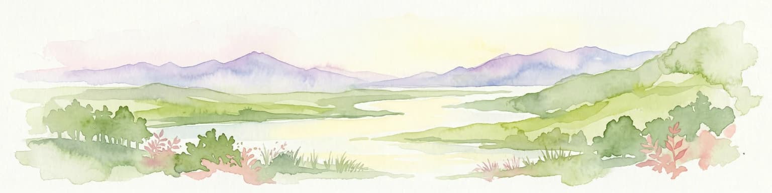
Why Fir of Hotovë-Dangëlli National Park stands out

The park is renowned for its ancient Hotova Fir forests, which represent a critical Mediterranean plant relic with limited global distribution. The old-growth coniferous and deciduous forests are among the most intact in Albania, supporting exceptional biodiversity in a region where forest habitat has been heavily degraded elsewhere. The Lengarica Canyon offers a dramatic landscape of caves and thermal springs, while the park's significance is further underscored by its population of brown bear and gray wolf, species that depend on large, interconnected wilderness areas. The contrast between the snow-dusted firs in winter and the cool summer refuge from Albanian heat creates a distinctive seasonal character.

Winding paved road with white lane markings through green mountainous landscape under clear blue sky
Winding road through mountainous terrain in Fir of Hotovë-Dangëlli National Park

Fir of Hotovë-Dangëlli National Park history and protected-area timeline

The park was officially designated on December 17, 2008, making it Albania's largest national park by surface area. Prior to national park status, the Hotovë-Dangëlli forest area had been protected under various designations, with the Albanian Ministry of Council declaring the area a national park through Decision 102 in January 1996, initially covering approximately 1,200 hectares. The park's establishment reflected growing recognition of the need to protect the old-growth fir forests and the biodiversity they support. The governing body is the National Agency of Protected Areas, which manages the park alongside eleven designated natural monuments within its boundaries. The park has faced development pressures, most notably from proposed hydroelectric dam projects along the Lengarica Canyon, which have sparked environmental protests and highlighted ongoing tensions between conservation and development priorities in Albania.

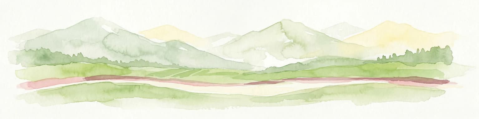
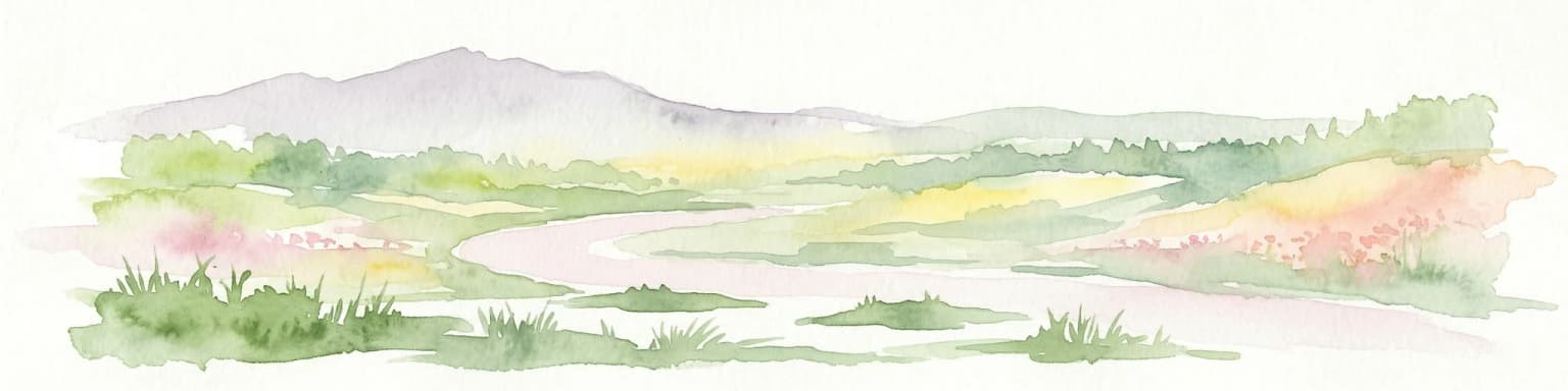
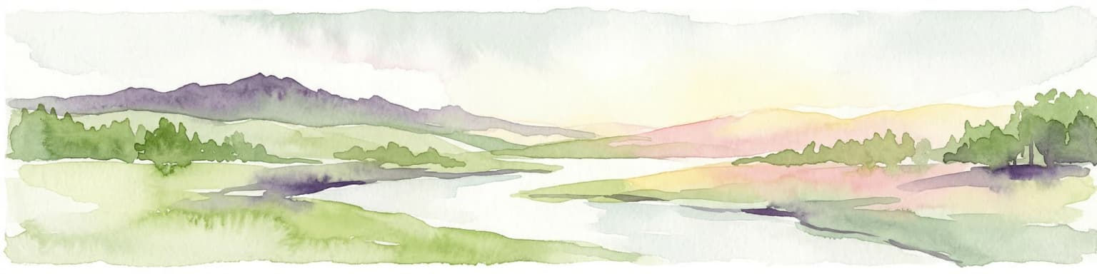
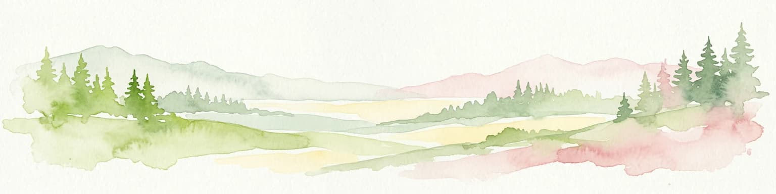
Fir of Hotovë-Dangëlli National Park landscape and geographic character

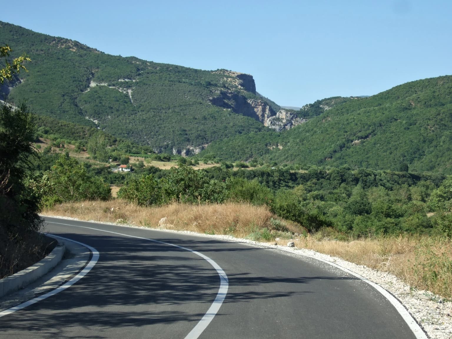
The park's terrain is defined by mountainous and hilly topography sculpted from limestone and sandstone parent rock. The Nemërçka and Tomorr mountain ranges frame the park's eastern and southern boundaries, while deep valleys and canyons dissect the interior. The Lengarica Canyon stands as one of the most dramatic features, a narrow and winding gorge with steep walls that contains caves and serves as a corridor for the Lengarica River. The landscape transitions from river valleys through forested slopes to exposed ridges, with elevation variation creating diverse microhabitats. The Vjosa River forms the park's western boundary, flowing through the valley toward the Adriatic Sea. Dense forests of coniferous and deciduous species cover much of the terrain, with the Hotova Fir creating distinctive dark green stands among the mix of oak, beech, and other broadleaf species. The combination of water, rock, and forest creates a landscape of considerable visual diversity.

Fir of Hotovë-Dangëlli National Park ecosystems, habitats, and plant life

The ecological significance of this park stems from its old-growth forests and the presence of the Hotova Fir, a Mediterranean conifer species with restricted distribution. The forest ecosystem exhibits a mosaic of habitat types that support exceptional biodiversity. The coniferous forests dominated by fir are interspersed with deciduous woodlands of oak, beech, and other species, creating a complex forest structure with multiple canopy layers. The karst geology underlying much of the terrain influences soil chemistry and moisture patterns, while the network of rivers, springs, and ravines adds further ecological diversity. The mosaic distribution of habitats creates ecological connectivity across elevations and aspects, supporting species that require large territories or varied environmental conditions. The park's position in southern Albania places it at a climatic transition zone between Mediterranean and continental influences, affecting vegetation patterns and species composition.

Fir of Hotovë-Dangëlli National Park wildlife and species highlights

The park supports a rich mammalian fauna reflecting the diversity of its forest and canyon habitats. The old-growth forests provide crucial habitat for large mammals including brown bear and gray wolf, species that require extensive territories and relatively undisturbed environments. Roe deer represent a flagship species of the park, commonly observed in the meadows and clearings within the forest. Wild boar roam the understory, while smaller mammals such as red squirrel, Eurasian otter, and badger occupy various niches throughout the park. The predator community includes wild cat and red fox, which hunt among the forests and rocky outcrops. The avian fauna is particularly notable, with the golden eagle nesting on cliff faces and hunting over the open terrain. Other raptors include eagle owl, barn owl, sparrowhawk, Egyptian vulture, kestrel, and lanner falcon, representing a diverse community of birds of prey. The forest canopy and old trees provide nesting habitat and feeding grounds for numerous bird species.

Fir of Hotovë-Dangëlli National Park conservation status and protection priorities

The park's IUCN Category II designation reflects its primary objective of protecting natural ecosystems and biodiversity. The Hotova Fir forests represent a conservation priority due to the species' limited distribution and its importance as a Mediterranean plant relic. The presence of brown bear and gray wolf populations indicates the park's role in maintaining ecological processes that require large predator populations. These species serve as umbrella indicators of ecosystem health, and their survival depends on the park providing connected habitat and minimal human disturbance. The designation of eleven natural monuments within the park adds layers of protection for specific geological and ecological features. However, the park faces ongoing conservation challenges from proposed hydroelectric development in the Lengarica Canyon, which threatens both aquatic ecosystems and the tourism economy that depends on the area's natural character. The conflict between dam construction and conservation represents a broader challenge for Albania's protected areas.

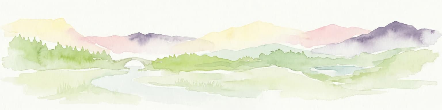
Fir of Hotovë-Dangëlli National Park cultural meaning and human context

The park contains the historic village of Frashër, situated in the heart of the protected area. Frashër is notably associated with the Frashëri Brothers, prominent figures in the Albanian Renaissance who contributed to the national movement for independence and cultural revival in the late 19th and early 20th centuries. Their family home has been converted into a museum featuring documents, photographs, and sculptures relating to their lives and contributions to Albanian history. The Ottoman-era Katiu Bridge spans a river within the park, representing the region's historical infrastructure and human presence in this mountainous landscape. The thermal springs of Banjat e Bënjës have been used for centuries, reflecting the human relationship with the landscape's natural resources. The surrounding region has been inhabited for generations, with traditional land use practices shaping the forests and pastures even before formal protection.

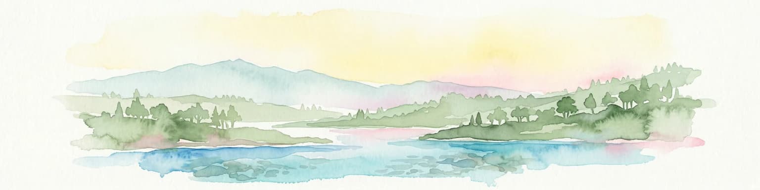
Top sights and standout views in Fir of Hotovë-Dangëlli National Park

The Hotova Fir forests make this park uniquely important, representing one of the last significant old-growth coniferous woodlands in Albania. The Lengarica Canyon offers dramatic scenery with opportunities for rafting and exploration of caves and thermal springs. The presence of brown bear and gray wolf populations distinguishes this park as a genuine wilderness area in European terms. The historic Frashëri Brothers Museum provides cultural connection to Albania's national history. The park's size as Albania's largest protected area means it encompasses a complete mountain ecosystem with forest, canyon, river, and alpine habitats. The Vjosa River boundary connects the park to one of Europe's last undammed major rivers.

Best time to visit Fir of Hotovë-Dangëlli National Park

The park offers distinct seasonal experiences. Winter transforms the landscape as snow blankets the fir trees, creating a dramatic white silhouette against dark green foliage—a characteristic scene that defines the park's character. Summer provides a cool escape from the hot Albanian lowlands, with fresh mountain air and the opportunity to explore trails without the heat of lower elevations. Spring and autumn offer intermediate conditions with varying displays of wildflowers or autumn coloration. The Mediterranean climate means precipitation is concentrated in winter months, while summers are typically dry. Visitors seeking snow scenes should plan for winter visits, while those preferring hiking and outdoor activities may find late spring or early autumn ideal. The thermal springs can be visited year-round, though the coldest winter months may make the warm waters particularly appealing.

Park location guide

Geography guide, regional context, and park location map for Fir of Hotovë-Dangëlli National Park

Fir of Hotovë-Dangëlli National Park park geography, regions, and map view in Albania
Understand where Fir of Hotovë-Dangëlli National Park sits in Albania through a broader geographic reading of the surrounding landscape, nearby location context, and its mapped position within the national park landscape.

How Fir of Hotovë-Dangëlli National Park fits into Albania

Albania is a unitary parliamentary republic in Southeast Europe, situated on the Balkan Peninsula along the Adriatic and Ionian coastal regions. With a population of approximately 2.4 million people, it borders Montenegro, Kosovo, North Macedonia, and Greece. The country features varied landscapes ranging from the Albanian Alps to fertile coastal plains, with Tirana as its capital and largest city.

Wider geography shaping Fir of Hotovë-Dangëlli National Park in Albania

Albania occupies the western part of the Balkan Peninsula in Southeast Europe. The country features a varied terrain with rugged mountain ranges including the Albanian Alps (Accursed Mountains), Korab, Skanderbeg Mountains, Pindus, and Ceraunian Mountains. Fertile lowland plains extend along the Adriatic and Ionian coastal regions. The country borders Montenegro to the northwest, Kosovo to the northeast, North Macedonia to the east, and Greece to the south.

Map view of Fir of Hotovë-Dangëlli National Park

Use this park location map to pinpoint Fir of Hotovë-Dangëlli National Park in Albania, understand its exact geographic position, and read its mapped placement within the surrounding landscape more clearly.

Pigeon | © OpenStreetMap contributors

Location context for Fir of Hotovë-Dangëlli National Park

Gjirokastër County

Visual Guide to Albania's Largest Protected Area, featuring Hotova Fir Forests, Mountainous Terrain, and Lengarica Canyon Views

Fir of Hotovë-Dangëlli National Park Photos: Explore Landscapes, Scenery, and Protected-Area Visuals
Visually explore Fir of Hotovë-Dangëlli National Park through imagery that reveals its diverse landscapes, old-growth forests, and protected-area character. Understand the rugged mountainous terrain, ancient Hotova Fir stands, and dramatic Lengarica Canyon views, gaining insight into the park's unique environment and habitats.

Winding paved road with white lane markings through green mountainous landscape under clear blue sky

Grassy field with scattered trees and dense forested hills under a partly cloudy sky

Park atlas

Browse the Network of Protected Landscapes and Park Geography Surrounding Gjirokastër County

Discover Adjacent National Parks and Protected Areas Near Fir of Hotovë-Dangëlli National Park
Browse a curated selection of national parks and protected areas in the vicinity of Fir of Hotovë-Dangëlli National Park, spanning the mountainous landscapes of Gjirokastër County and southern Albania. Compare distinct geographic features, old-growth forests, and vital conservation efforts to gain a broader understanding of the region's diverse protected landscapes.
National park

Vikos-Aoös National Park: Deepest Gorge and Protected Mountain Landscape Atlas

Discover protected area boundaries and regional geography in Epirus.

Vikos-Aoös National Park in Greece's Pindus mountains is a premier destination for exploring dramatic natural geography. Best known for the Vikos Gorge, considered the world's deepest canyon relative to its width, the park also features towering alpine peaks like Mount Tymphe, glacial lakes such as Drakolimni, and rich botanical diversity. As a UNESCO Geopark and part of the Natura 2000 network, it safeguards critical habitats, including significant brown bear populations. This park offers a profound look into protected landscapes, offering detailed geographic context and mapped terrain for atlas-based discovery.

Area
126 km²
Established
1973
IUCN
II
Visitors
100K annual
Watercolor painting showing mountains, a river, and vegetation
National park

Tomorr Mountain National Park: Sacred Peak & Karst Protected Landscape in Albania

Explore Albania's dramatic mountain geography and protected areas.

Tomorr Mountain National Park offers a unique exploration of southern Albania's dramatic limestone anticline. Dominated by the sacred Mount Tomorr and featuring the spectacular Osum Canyon, this national park provides insight into karst terrain, old-growth forests, and significant biodiversity. Discover its mapped boundaries and regional geographic context within the Pindus Mountains for structured atlas exploration.

Area
271.855 km²
Established
1956
IUCN
II
Relief
Mountain
Watercolor painting of a river flowing through a valley with mountains and greenery
National parkKorçë County

Prespa National Park: Protected Landscape and High-Altitude Lakes in Korçë County, Albania

Explore the geography and mapped boundaries of this vital national park.

Prespa National Park, located in Korçë County, Albania, is a protected area characterized by its significant high-altitude tectonic lakes, dramatic mountain landscapes, and vital wetland habitats. This entry provides a structured atlas-style overview of the park's geographic identity, its protected landscape features, and its ecological importance, serving as a key point of reference for understanding this unique Balkan region.

Area
276.13 km²
Established
1999
IUCN
II
Watercolor landscape painting showing a lake, distant mountains, and vegetation
National parkVlorë County

Butrint National Park: Archaeological Heritage and Mediterranean Wetland Landscape

Explore its unique geography and protected park boundaries.

Butrint National Park presents a singular opportunity for geographic and protected-area discovery, showcasing an unparalleled fusion of ancient history and ecological richness. Located in Albania's Vlorë County, this national park encompasses Lake Butrint, coastal lagoons, and vital wetland habitats, recognized internationally for their biodiversity. Through MoriAtlas, users can explore the mapped extent of this unique landscape, understand its role within regional geography, and uncover the interplay between its preserved archaeological sites and the surrounding Mediterranean environment.

Area
94.244 km²
Established
2000
IUCN
II
Relief
Lowland
National parkVlorë County

Llogara National Park: Vlorë County's Dramatic Ceraunian Mountain Protected Landscape

Explore Albania's rugged national park geography and mapped terrain.

Llogara National Park stands as a vital protected area within Vlorë County, Albania, renowned for its spectacular Ceraunian Mountain topography. This page provides access to detailed geographic information, highlighting the park's unique landscape characteristics, from alpine peaks to coastal vistas. Discover the mapped extent of this national park and its significance within the regional geography, perfect for structured atlas exploration.

Area
17.69 km²
Established
1966
IUCN
II
Relief
Mountain
Watercolor illustration of a mountainous landscape with a river, forests, and distant hills
National park

Pindus National Park: A Protected Greek Mountain Wilderness with Ancient Forests

Explore its rugged terrain, biodiversity, and alpine landscape.

MoriAtlas presents Pindus National Park, a significant protected area in Greece known for its dramatic mountainous terrain, deep valleys, and ancient old-growth forests. This page details its geographic context, featuring rugged highland landscapes, serpentine soils, and vital habitats for species like the Eurasian brown bear. Understand its place within the Pindus mountain range and its importance as a mapped wilderness area for conservation.

Area
69.27 km²
Established
1966
Relief
Mountain
Climate
Temperate
Watercolor scene featuring a blue lake, green trees, and mountains under a yellow-pink sky
National park

Karaburun-Sazan Marine Park: A National Park with Dramatic Limestone Cliffs and Island Ecosystems

Explore Albania's protected coastline and marine geography.

Karaburun-Sazan Marine Park, Albania's sole national park, offers a profound exploration of a unique protected landscape. This marine protected area combines the rugged Karaburun Peninsula, characterized by high limestone cliffs, with Sazan Island, Albania's largest island, known for its distinct geology and subtropical climate. The park's waters are critical habitats for endangered species, making it a significant site for marine biodiversity and regional geographic study. Discover the mapped boundaries and ecological context of this vital protected area.

Area
124.377 km²
Established
2010
IUCN
II
Relief
Mixed relief
Watercolor illustration of mountains, a lake, and rolling hills with grassy vegetation.
National parkElbasan County

Shebenik National Park: Mapped Protected Landscape and Glacial Terrain Atlas

Explore Elbasan County's significant mountain wilderness and protected natural features.

Shebenik National Park is a protected national park in Elbasan County, Albania, notable for its dramatic glacial terrain and extensive ancient forests. This park offers a deep dive into Albania's natural landscape, featuring 14 glacial lakes and serving as vital habitat. Its position within the Balkan Peninsula's geography makes it a key point of reference for understanding protected areas and mountain wilderness within a structured atlas.

Area
345.079 km²
Established
2008
IUCN
II
Relief
Mountain

Common questions about visiting, size, designation, and location context for Fir of Hotovë-Dangëlli National Park

Fir of Hotovë-Dangëlli National Park FAQs for park facts, access, geography, and protected area context
Find quick answers about Fir of Hotovë-Dangëlli National Park, including protected-area facts, park geography, trail and visitor context, and how the park fits into its surrounding country and regional landscape.
MoriAtlas Explorer

Continue Your Protected Areas Search Across the Global Atlas

Deepen your exploration by continuing the structured search for national parks and protected areas worldwide. Utilize the comprehensive filtering capabilities to compare different conservation landscapes and refine your understanding of global park geography. Discover more about the distribution and characteristics of protected natural areas.

Global natural geography