
Mapping geological formations, water systems, and terrains within regional park networks
Comprehensive Inventory of Natural Features across Bosnia and Herzegovina Protected Landscapes
The natural features associated with Bosnia and Herzegovina represent a complex intersection of the Dinaric Alps, varied drainage basins, and coastal segments near the Adriatic. This collection serves as a focused atlas for identifying and examining specific landforms and water bodies contained within or adjacent to the country's protected areas. By anchoring these features to park boundaries, the records provide precise context for the regional geography and environmental composition of the Balkan landscape.
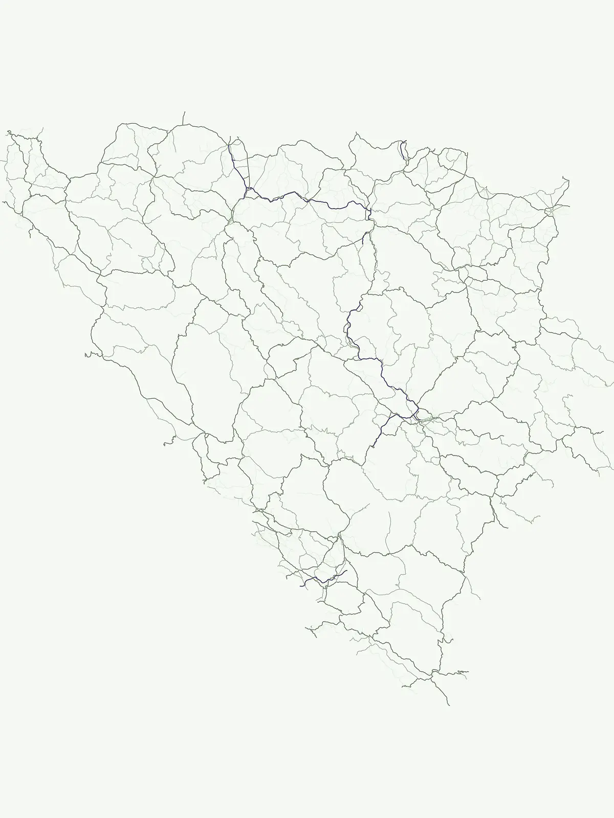
Trace key landforms, river systems, and summits mapped within the country's national parks
Named Natural Features and Landmarks in Bosnia and Herzegovina Parks
Examining natural watercourse distributions within national borders
Rivers
Gain insight into the river networks mapped across the protected lands of Bosnia and Herzegovina. This resource provides a focused view of watercourses that define the regional geography, allowing for the observation of channels, tributaries, and fluvial features associated with established conservation zones.
Atlas of inland water bodies and basin topography.
Lakes
Explore the diverse catalog of lake features mapped within Bosnia and Herzegovina. These standing water bodies reflect the complex karst and mountainous terrain characteristic of the region. Gain insight into the basin geography and natural drainage patterns that define these protected landscapes.
Geographic data on vertical rock terrain
Cliffs
Discover a structured selection of cliff formations identified within the park system of Bosnia and Herzegovina. This collection tracks the location, orientation, and geological context of vertical rock faces, providing an atlas-focused view of how these natural breaks define the terrain within diverse regional protected areas.
Geographic data for summits within national protected areas.
Peaks
Discover a structured list of named Peak summits throughout Bosnia and Herzegovina. This collection highlights distinct mountain summits and high points located inside established protected landscapes. Gain geographic insight into individual landforms, including elevation, ridge relationships, and topographic prominence within the Dinaric mountain system.
Geographic analysis of managed water systems in regional park networks.
Reservoirs
Browse the inventory of reservoirs integrated into the natural geography of Bosnia and Herzegovina. This dataset highlights the relationship between human-engineered water impoundments and the surrounding protected landscapes, providing a structured view of infrastructure within the country's diverse terrain.
Catalog of natural stream features in regional parks
Streams
Explore the hydrological features of Bosnia and Herzegovina through this collection of named streams. These watercourses are mapped according to their presence within protected natural areas, offering a clear view of the complex terrain and flowing landscapes that define the Balkan topography.
Atlas of named waterfall features in park environments
Waterfalls
Explore a structured collection of named waterfalls situated within the national parks and protected areas of Bosnia and Herzegovina. The data emphasizes individual hydrological features, covering their river systems, vertical drop types, and geological context within the Dinaric Alps and broader regional landscapes.
Continue Exploring Protected Areas Across Bosnia and Herzegovina's Geography
Deepen your understanding of Bosnia and Herzegovina's conservation landscape by browsing its national parks and protected areas. This resource enables detailed exploration of the geographic context and mapped distribution of natural terrains within the country. Continue your atlas-based discovery to compare protected lands and their unique regional characteristics.