Mori Atlas logo
Nature reserveCrimean Nature Reserve

Discover the dramatic mountain terrain and biodiversity of Ukraine's protected areas.

Crimean Nature Reserve: Nature Reserve, Protected Landscape, and Map Atlas Context

The Crimean Nature Reserve is a significant protected area safeguarding the unique mountain-forest and karst landscapes of the Crimean Peninsula. Situated across the southern slopes of the Crimean Mountains, this nature reserve offers a compelling subject for atlas-based discovery, revealing its intricate terrain, varied ecosystems, and geographical importance. Explore the mapped boundaries and discover the rich natural heritage preserved within this critical protected landscape.

nature reservemountain forestsprotected areabiodiversity hotspot Important Bird Areakarst landscape

Crimean Nature Reserve

Nature reserve

Park overview

Structured park overview, official facts, and landscape profile for Crimean Nature Reserve

Crimean Nature Reserve park facts, protected area profile, and essential visitor context
Review the core facts for Crimean Nature Reserve, including designation, size, terrain, visitor scale, habitats, and operating context in one park-focused overview.

About Crimean Nature Reserve

The Crimean Nature Reserve occupies a significant portion of the Crimean Mountains along the southern edge of the Crimean Peninsula, spanning from the lower mountain forests up to the alpine meadow zones known as yailas. The reserve's location at the western extreme of the Crimean Submediterranean forest complex gives it remarkable ecological significance, as this narrow band of territory represents the northernmost extent of many Mediterranean and Caucasian species. The topography is characterized by the main mountain ridge, with long gentle northern slopes transitioning to steep southern faces that descend sharply toward the Black Sea. Higher ridges form flat, grassy plateaus typical of the yailas landscape. The geological substrate consists of Jurassic-era deposits over 180 million years old, composed of clay shales, sandstones, limestones, and conglomerates that have created diverse soil conditions supporting varied plant communities. The reserve contains five forest management units plus the coastal ornithological branch, with approximately 300 water sources including the famous Sávluh-su spring, whose waters maintain a constant 6-7 degrees Celsius year-round and are noted for their high silver content. Beyond its ecological importance, the reserve contains over 80 historical and cultural monuments, reflecting the long human presence in these mountains.

Quick facts and research context for Crimean Nature Reserve

The Crimean Nature Reserve covers 44,175 hectares along the main ridge of the Crimean Mountains, just north of Alushta on the southern coast of the Crimean Peninsula. The reserve was formally established in 1991 though protected status dates to 1923, making it one of Ukraine's oldest nature reserves. It protects the highest peak in Crimea, Roman-Kosh at 1,545 meters, along with several other major summits including Chatyr-Dag, Kemal-Egerek, and Demir-Kapu. The reserve contains over 29,000 hectares of forests, with oak dominating at lower elevations and beech forests at higher altitudes. Scientists have recorded more than 1,350 vascular plant species and over 200 vertebrate animal species within the reserve, including numerous protected and endemic species.

Park context

Deeper park guide and search-rich context for Crimean Nature Reserve

Crimean Nature Reserve history, landscape, wildlife, and travel context
Explore Crimean Nature Reserve through its history, landscape character, ecosystems, wildlife, conservation priorities, cultural context, and seasonal travel timing in a structured park guide built for atlas discovery and search intent.

Why Crimean Nature Reserve stands out

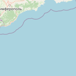
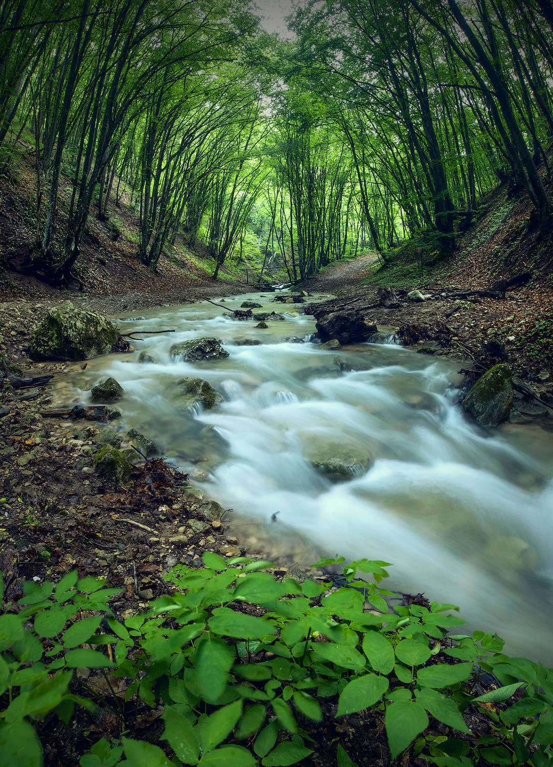
The Crimean Nature Reserve is best known for its exceptional biodiversity and its protection of the Crimean Submediterranean forest complex, a unique ecological community found only in this region. The reserve protects the highest mountain in Crimea and preserves pristine examples of Crimean oak and beech forests, some of which contain trees estimated at 300 years old. It serves as a critical habitat for rare bird species including griffon vultures, cinereous vultures, and eastern imperial eagles, earning designation as an Important Bird Area by BirdLife International. The reserve also encompasses the ornithological branch known as Lebedini Ostrovy (Swan Islands), a wetland complex in the Karkinitska Gulf that provides crucial nesting and migratory habitat for waterfowl. The landscape features dramatic karst formations including caves, sinkholes, and the famous Marble Cave on Chatyr-Dag.

Crimean Nature Reserve history and protected-area timeline

The protection history of the Crimean Nature Reserve began in 1913 when the Central Basin of the Crimean Mountains was designated as the Imperial Hunting Reserve, a 3,705-hectare area in the remote mountain region. In 1917, the Crimean Society of Naturalists and Nature Lovers proclaimed this territory a National Reserve. The true founding date is considered July 30, 1923, when the Crimean State Reserve was created by decree of the Council of People's Commissars of the Russian Soviet Federative Socialist Republic on a area of 16,350 hectares. In 1925, the reserve expanded to 23,000 hectares, and scientific operations began including establishment of a weather station, laboratory, natural history museum, and taxidermy workshop. The reserve was reorganized in 1957 as the Crimean State Reserve-Hunting Economy, losing its strict protected status. Only in 1991, by decree of the Council of Ministers of the Ukrainian Soviet Socialist Republic, was the territory restored to reserve status. Following the disputed 2014 annexation of Crimea, administration transferred to Russian authorities, and in 2018 the territory was reorganized into the Crimean National Park and the state nature reserve Lebedini Ostrovy.

Crimean Nature Reserve landscape and geographic character

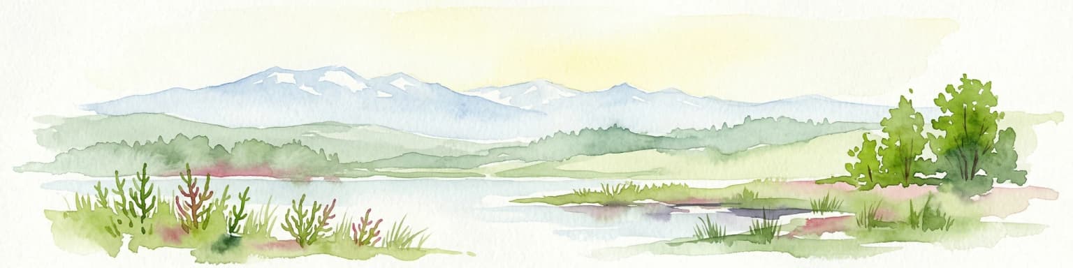
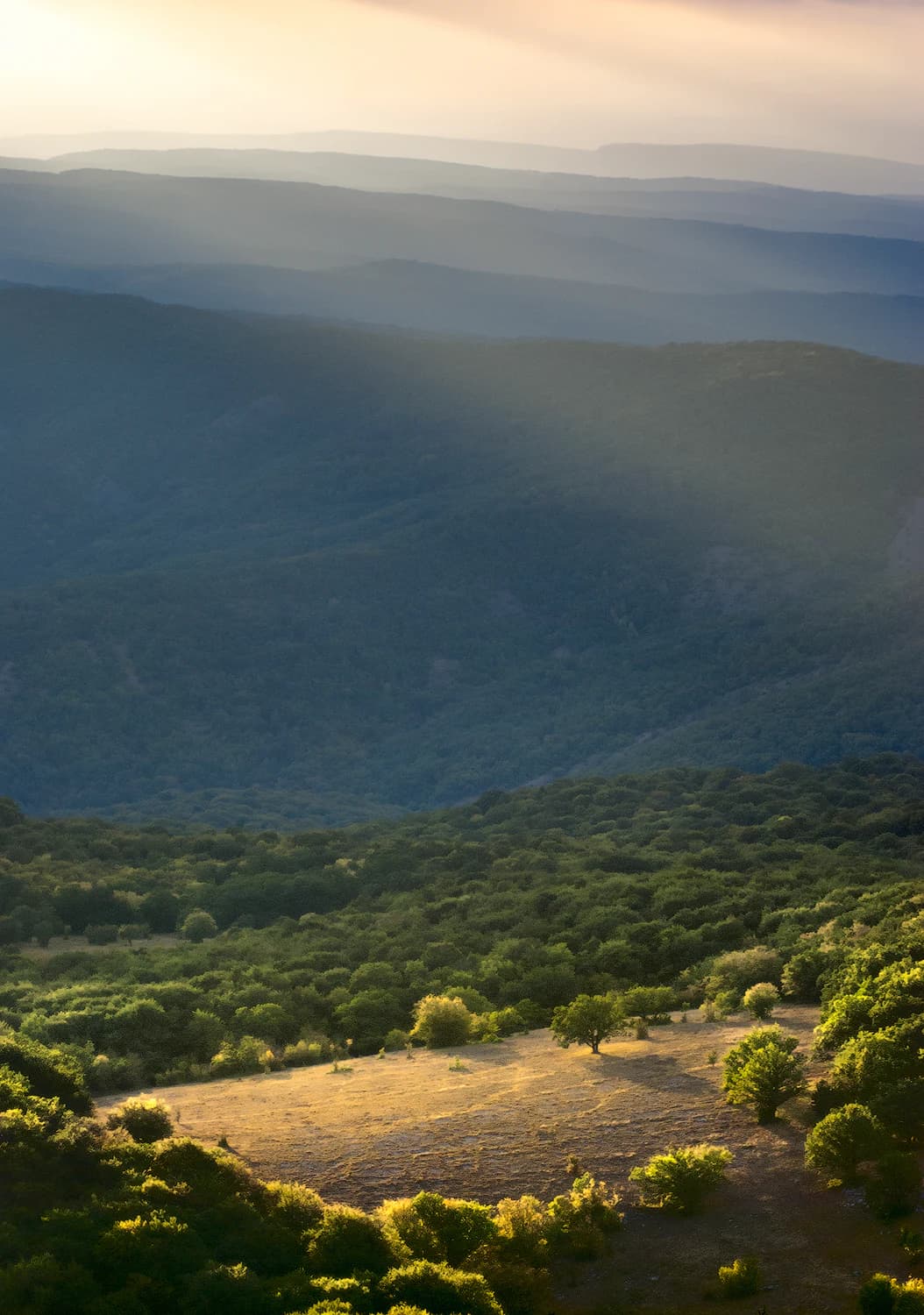
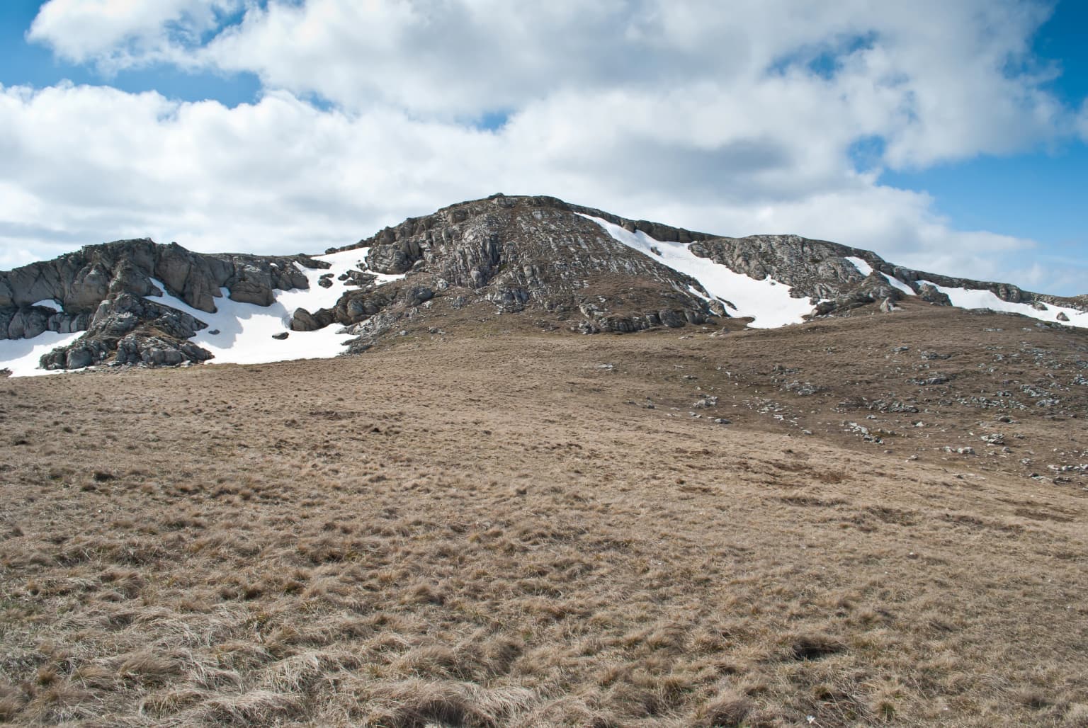
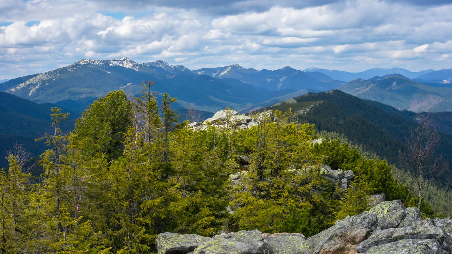
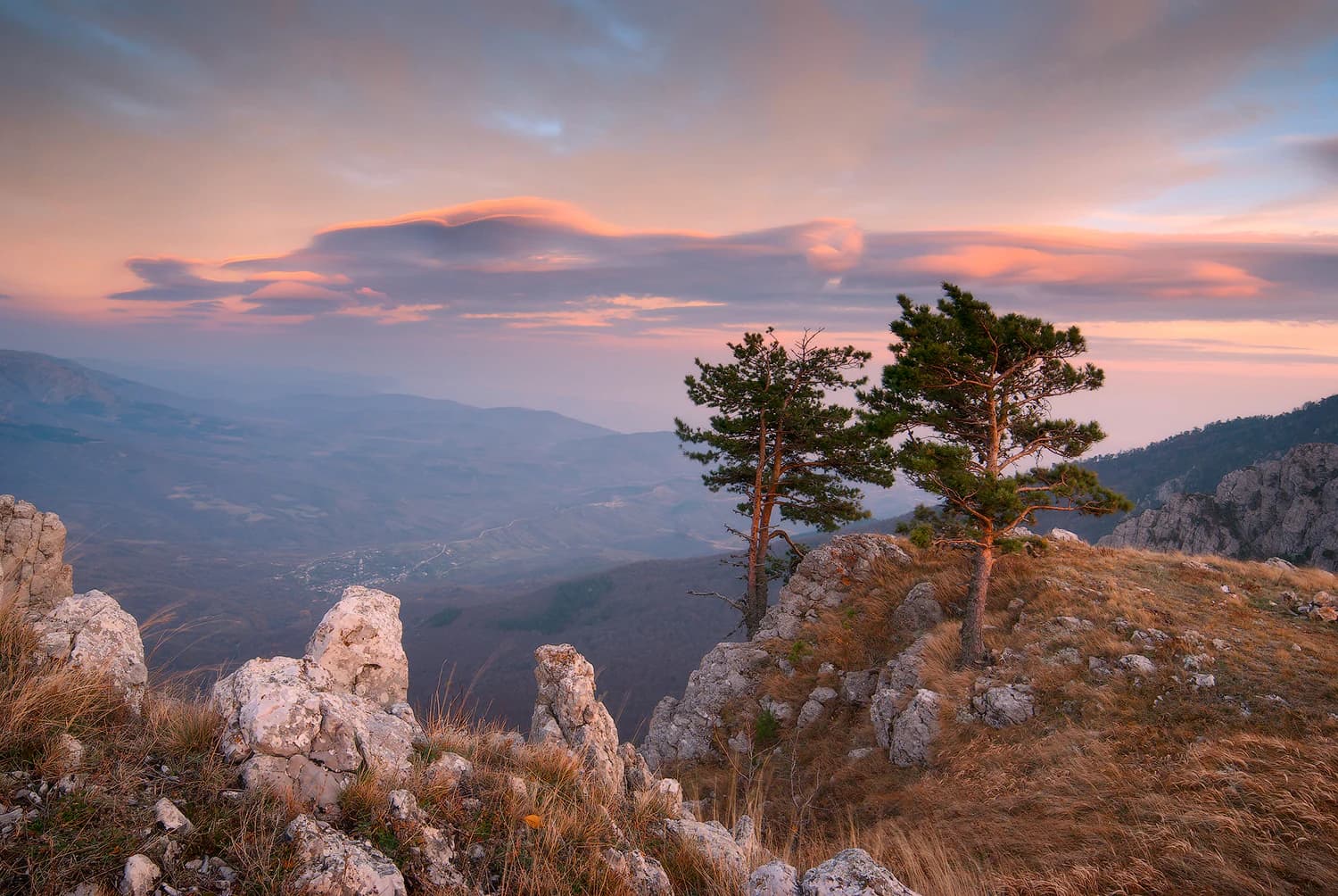
The Crimean Nature Reserve showcases the dramatic mountain landscapes of the Crimean Peninsula, characterized by the main ridge of the Crimean Mountains running along the southern coast. The highest peak in Crimea, Roman-Kosh at 1,545 meters, rises within the reserve alongside other significant summits including Chatyr-Dag (1,527 meters), Kemal-Egerek (1,529 meters), and Demir-Kapu (1,542 meters). The terrain exhibits a distinctive asymmetry: the northern slopes descend gently inland, while the southern slopes drop steeply and dramatically toward the Black Sea. Higher elevations feature the characteristic flat, grassy plateaus known as yailas, including Babugan-Yayla, Gurzuf-Yayla, and others that form the alpine meadow zone. The geological diversity is remarkable—Jurassic sediments over 180 million years old include clay shales, sandstones, conglomerates, and limestones that have created varied terrain and soil conditions. The limestone formations have developed extensive karst features including sinkholes, shafts, grottoes, and caves, with the Marble Cave on Chatyr-Dag being a notable attraction. The reserve contains the headwaters of the Alma River and approximately 300 springs, the most famous being Sávluh-su with its constant cool temperature and mineral-rich waters.

Crimean Nature Reserve ecosystems, habitats, and plant life

The ecological character of the Crimean Nature Reserve is defined by its location at the transition between Mediterranean and continental climate zones, supporting the unique Crimean Submediterranean forest complex. Vegetation arranges in distinct altitudinal zones: the lower zone up to 450 meters features downy oak forests with eastern hornbeam and dogwood understory; between 450-700 meters, sessile oak dominates with common hornbeam and ash; the beech and hornbeam-beech forest zone extends from 700-1,200 meters, with Steven's maple appearing as a Crimea-endemic species near the upper forest limit; above 1,200 meters, forest gives way to steppe and meadow habitats. Over 29,000 hectares are forested, with more than half covered by oak, 7,500 hectares by beech including groves estimated at 300 years old, and significant pine, linden, hornbeam, and ash stands. Scientists have documented 1,357 vascular plant species in 535 genera, demonstrating exceptional biodiversity. The reserve also protects unique relict communities including Crimean yew and Crimean juniper, species that survived in this refugium through geological epochs. The ornithological branch Lebedini Ostrovy protects coastal wetlands and islands in the Karkinitska Gulf with 9,612 hectares of aquatic habitat.

Crimean Nature Reserve wildlife and species highlights

The Crimean Nature Reserve supports diverse fauna with over 200 vertebrate species recorded, including 37 mammals, 160 birds, 10 reptiles, 4 amphibians, and 6 native fish species. The mammal community features red deer, wild boar, European mouflon introduced from Corsica via the Askania-Nova reserve, and roe deer as primary large mammals. Smaller mammals include stone marten, red fox, steppe squirrel, least weasel, and European hare. The avifauna is particularly significant—the reserve has been designated an Important Bird Area because it supports populations of corncrakes, tawny owls, griffon vultures, cinereous vultures, and eastern imperial eagles. The Lebedini Ostrovy ornithological branch provides critical habitat for waterfowl and wetland birds, with 250 bird species recorded in this coastal zone and 40 species listed in Ukraine's Red Book. The reserve's rivers support native freshwater fish, and the Alma River area contains trout pools. Invertebrates include numerous protected species such as the Crimean scorpion, sun spider, Crimean mantis, steppe grasshopper, and Crimean snail-eater, representing the Mediterranean and steppe faunal elements that meet in this mountain refugium.

Crimean Nature Reserve conservation status and protection priorities

The Crimean Nature Reserve represents one of Ukraine's most important protected areas, designated as IUCN category Ia reflecting its status as a strict nature reserve where primary purposes are nature protection and scientific study. The reserve protects the most valuable oak, beech, and Crimean pine forests in Crimea, along with unique relict communities of yew and tall juniper. It serves as a critical refuge for 137 plant and fungi species and 26 species listed in the European Red List, with 11 plant communities protected in Ukraine's Green Book. The wetland component through the Lebedini Ostrovy branch protects the Karkinitsky ornithological reserve of national importance. As an Important Bird Area, the reserve contributes to international conservation of threatened raptor species. The protected status aims to preserve the natural dynamics of the Crimean Submediterranean forest ecosystem, one of Europe's smaller and more localized ecoregions, though management challenges have included balancing strict protection with limited controlled public access through designated excursion routes.

Crimean Nature Reserve cultural meaning and human context

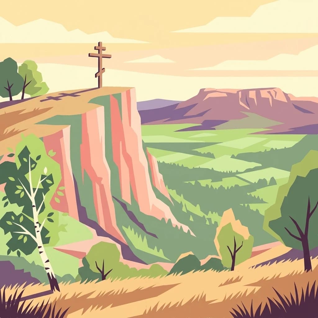
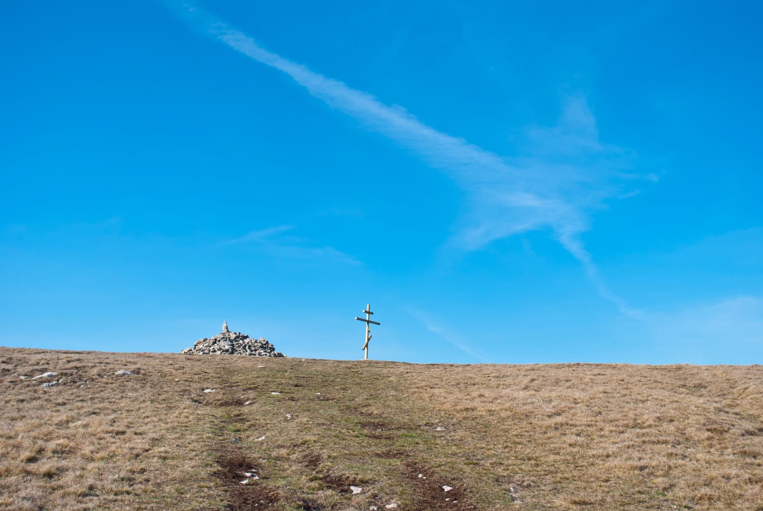
The Crimean Mountains have been inhabited since ancient times, and the reserve territory contains over 80 historical and cultural monuments reflecting this long human presence. The area was historically known as a hunting ground, with the Imperial Hunting Reserve established in 1913 in the Central Basin serving as the precursor to the modern reserve. The reserve encompasses traditional Crimean Tatar territory, with the reserve also known by the Crimean Tatar name Qırım tabiat qoruğı. The region's cultural landscape includes the famous Romanov Trail, an historic route through the mountains that is now part of the ecological excursion route where guided tours operate. Near the Alma River, trout pools reflect both historical and ongoing human interaction with the mountain streams. The town of Alushta, the nearest city, serves as the gateway for visitors, and the reserve operates a Museum of Nature and Dendrozoological Park in the town to introduce visitors to Crimean natural heritage. The landscape also features Crimean Tatar place names and the historical settlement patterns that shaped the mountain communities.

Top sights and standout views in Crimean Nature Reserve

The Crimean Nature Reserve protects the most significant mountain forest ecosystems on the Crimean Peninsula, including old-growth beech forests and extensive oak woodlands that represent the western edge of the Crimean Submediterranean forest complex. The reserve contains the highest peak in Crimea and supports populations of rare vulture species including griffon and cinereous vultures, making it a critical area for raptors in Eastern Europe. The karst landscape features the famous Marble Cave on Chatyr-Dag, a major attraction for speleology enthusiasts. The Lebedini Ostrovy branch protects vital coastal wetlands that serve as major staging areas for migratory waterfowl between Europe and Asia. The reserve's elevation gradient from coastal slopes to alpine yailas creates remarkable ecological diversity within a relatively compact area, with distinct forest zones and species assemblages at each elevation band.

Best time to visit Crimean Nature Reserve

The Crimean Nature Reserve can be visited year-round, though the most pleasant conditions occur during the shoulder seasons of spring and autumn when temperatures are moderate and the mountain landscapes are at their most evocative. Summer months can be quite hot in the lower elevations but offer the advantage of accessing the higher yailas plateaus where temperatures remain comfortable. The reserve experiences a continental climate with distinct seasons—winters can be cold at higher elevations while the coastal location moderates temperatures somewhat. Spring brings wildflower displays, particularly in the alpine meadows where Crimean saffron, Crimean primrose, and other species bloom. Autumn offers the opportunity to see the forests in fall color and may present clearer visibility for mountain views. As a strict nature reserve, public access is limited to designated excursion routes with guided tours, so advance planning through the reserve administration is recommended.

Park location guide

Geography guide, regional context, and park location map for Crimean Nature Reserve

Crimean Nature Reserve park geography, regions, and map view in Ukraine
Understand where Crimean Nature Reserve sits in Ukraine through a broader geographic reading of the surrounding landscape, nearby location context, and its mapped position within the national park landscape.

How Crimean Nature Reserve fits into Ukraine

Ukraine is a sovereign nation in Eastern Europe, bordered by Russia, Belarus, Poland, Slovakia, Hungary, Romania, Moldova, and the Black Sea. It is the second-largest country in Europe by area. Kyiv is the capital and largest city, followed by Kharkiv, Odesa, and Dnipro. The official language is Ukrainian. Ukraine has a population of approximately 32.9 million and operates as a unitary semi-presidential republic.

Wider geography shaping Crimean Nature Reserve in Ukraine

Ukraine occupies 603,628 km² in Eastern Europe, making it the second-largest country in Europe. It shares borders with Russia, Belarus, Poland, Slovakia, Hungary, Romania, and Moldova. The country has a southern coastline along the Black Sea and Sea of Azov. The terrain includes plains, steppes, and the Carpathian Mountains in the west.

Map view of Crimean Nature Reserve

Use this park location map to pinpoint Crimean Nature Reserve in Ukraine, understand its exact geographic position, and read its mapped placement within the surrounding landscape more clearly.

Pigeon | © OpenStreetMap contributors

Location context for Crimean Nature Reserve

Republic of Crimea
Park atlas

Map the geographic context of protected mountain forests and coastal wetlands across the Crimean Peninsula

Explore Other National Parks and Protected Areas Near Crimean Nature Reserve
Browse a curated selection of other protected areas, national parks, and natural reserves located near Crimean Nature Reserve. Discover their distinct ecological features, geographic boundaries, and conservation priorities, offering deeper regional context for the Crimean Peninsula's diverse landscapes.
National parkAutonomous Republic of Crimea

Charming Harbor National Nature Park: National Park Map and Protected Landscape Identity

Explore its mapped boundaries and regional geography.

Charming Harbor National Nature Park is a key protected area contributing to the natural landscape of the Autonomous Republic of Crimea. This page details its specific geographic scope and mapped boundaries, functioning as an atlas entry to understand its role within regional conservation efforts. Discover the park's distinct protected land context and its contribution to the mapped terrain of Ukraine.

Area
109 km²
Established
2009
IUCN
II
Relief
Lowland
National park

Azov, Syvash National Nature Park: National Park Protected Landscape and Geography

Explore mapped boundaries and regional landscape context.

Azov, Syvash National Nature Park stands as a notable protected area, offering a distinct geographic identity within Ukraine's atlas of natural landscapes. This national park's mapped boundaries provide a foundation for understanding its landscape context and regional significance. MoriAtlas enables detailed exploration of its protected terrain and its place within the country's conservation geography, serving as a gateway to structured geographic information and detailed park data for researchers and explorers.

Area
525.8 km²
Established
1993
IUCN
II
Relief
Lowland
Watercolor illustration of rolling hills, a winding river, and patches of vegetation
National parkKherson Oblast

Dzharylhach National Nature Park: Protected Landscape Atlas & Regional Geography

Explore the mapped protected area in Kherson Oblast, Ukraine.

Delve into the geographic details and protected landscape characteristics of Dzharylhach National Nature Park. As a designated national park within Kherson Oblast, this entry provides vital information for understanding its mapped boundaries and its place in the regional geography. MoriAtlas enables a structured approach to discovering and contextualizing protected areas like Dzharylhach, offering a unique perspective for atlas exploration.

Area
100 km²
Established
2009
IUCN
II
Relief
Lowland
Watercolor illustration of a landscape with grassy fields, trees, a river, and distant hills.
National parkKherson Oblast

Oleshky Sands National Nature Park: Mapping Ukraine's Distinctive Semi-Arid Dune Landscape

Explore protected sandy steppe, dunes, and conservation areas in Kherson Oblast.

Oleshky Sands National Nature Park is a critical protected landscape in Kherson Oblast, Ukraine, renowned for its unusual semi-arid terrain dominated by expansive sand dunes and sandy steppe. This page provides detailed geographic context for the park, highlighting its unique mapped boundaries, the contrast between its Radensk and Burkut zones, and its ecological importance as part of the Pontic-Caspian steppe. Understand the specific landscape features and regional geography that make this national park a significant natural asset within Ukraine's protected area network.

Area
80.2 km²
Established
2010
IUCN
II
Relief
Mixed relief
National parkZaporizhzhia Oblast

Pryazovia National Nature Park: National Park Protected Landscape Atlas

Explore the mapped boundaries and regional geography of Pryazovia National Nature Park.

Pryazovia National Nature Park represents a key protected area within Zaporizhzhia Oblast, Ukraine. This MoriAtlas entry provides detailed atlas-style information, emphasizing the park's mapped boundaries and its integration into the regional geography. Understand the park's character as a protected natural landscape situated in the southeastern Ukrainian coastal zone near the Sea of Azov, offering valuable context for geographic exploration.

Area
781 km²
Established
2010
IUCN
II
Relief
Lowland
National parkMykolaiv Oblast

Ivory Coast of Sviatoslav National Nature Park: National Park Identity and Regional Geography

Mapped protected area in Mykolaiv Oblast, Ukraine.

Gain a structured understanding of Ivory Coast of Sviatoslav National Nature Park, a designated national park in the Mykolaiv Oblast region of Ukraine. This entry focuses on its protected landscape identity and its position within the broader regional geography. Explore the mapped outlines and discover its significance as a key protected territory for atlas-based research and geographic context.

Area
352 km²
Established
2009
IUCN
II
Relief
Lowland
Watercolor illustration of a landscape with rolling hills, a body of water, and greenery
National parkZaporizhzhia Oblast

Grand Meadow National Nature Park: National Park Protected Landscape and Regional Geography

Explore the mapped boundaries and natural terrain.

Grand Meadow National Nature Park represents a distinct protected landscape within Zaporizhzhia Oblast, Ukraine. As a national park, its designation signifies an area managed for conservation and geographic study. This entry on MoriAtlas details the park's physical presence, offering users the opportunity to explore its mapped terrain, understand its role in regional geography, and place it within the broader atlas of Ukrainian protected areas. It is ideal for users seeking concrete landscape context and precise geographic data.

Area
168 km²
Established
2006
IUCN
II
Relief
Lowland
Watercolor illustration depicting mountain ranges, green forests, and a valley with a body of water
National parkKastamonu Province

Küre Mountains National Park: Ancient Forests and Karst Canyons in Kastamonu Province

Explore Protected Landscape, Map Boundaries, and Regional Geography

Küre Mountains National Park, situated in Kastamonu Province, Turkey, offers a unique glimpse into ancient forest ecosystems and dramatic karst formations. As a protected national park, it is distinguished by its extensive canyon systems, including Horma and Valla, and significant cave networks like Ilgarini Cave. This entry provides detailed geographic context, helping users understand the park's terrain, protected boundaries, and its ecological importance within the Black Sea Region's natural landscape.

Area
377.53 km²
Established
2000
Relief
Mountain
Climate
Temperate

Common questions about visiting, size, designation, and location context for Crimean Nature Reserve

Crimean Nature Reserve FAQs for park facts, access, geography, and protected area context
Find quick answers about Crimean Nature Reserve, including protected-area facts, park geography, trail and visitor context, and how the park fits into its surrounding country and regional landscape.
MoriAtlas Explorer

Continue Your Protected Areas Search Across the Global Atlas

Deepen your exploration by continuing the structured search for national parks and protected areas worldwide. Utilize the comprehensive filtering capabilities to compare different conservation landscapes and refine your understanding of global park geography. Discover more about the distribution and characteristics of protected natural areas.

Global natural geography