Mori Atlas logo
National parkCarpathian National Nature Park

Explore the mapped boundaries and regional geography of this Ukrainian National Park.

Carpathian National Nature Park: A Protected Landscape within Ivano-Frankivsk Oblast

Delve into the Carpathian National Nature Park, a key protected area situated in the scenic Ivano-Frankivsk Oblast of Ukraine. This atlas-focused page highlights the park's protected landscape identity and its geographic context within the broader Carpathian region. Users can explore the mapped outlines of this national park, understanding its placement and significance within the Ukrainian atlas, offering a foundation for deeper geographic discovery.

Mountain ParksAlpine EnvironmentsEastern EuropeOld Growth ForestsGlacial LakesNature Reserves

Carpathian National Nature Park

National park

Park overview

Structured park overview, official facts, and landscape profile for Carpathian National Nature Park

Carpathian National Nature Park park facts, protected area profile, and essential visitor context
Review the core facts for Carpathian National Nature Park, including designation, size, terrain, visitor scale, habitats, and operating context in one park-focused overview.

About Carpathian National Nature Park

Carpathian National Nature Park occupies a pivotal position in Ukraine's system of protected areas as the nation's first national park, established by decree of the Council of Ministers of the Ukrainian Soviet Socialist Republic in 1980. The park was created to preserve the outstanding natural landscapes of the Carpathian Mountains, which form a major mountain system running through the heart of Europe. Approximately half of the park's territory was previously part of the Carpathian State Reserve, which itself traces its origins to a nature reservation established in 1921 in the highest part of the Ukrainian Carpathians.

The park's territory spans the border between the Nadvirna and Verkhovyna administrative raions of Ivano-Frankivsk Oblast, extending to the border with Zakarpattia Oblast. This location places the park at the core of the Ukrainian Carpathians, a region renowned for its ecological diversity and scenic beauty. The park's landscape is defined by the Carpathian mountain terrain, with its characteristic ridges, valleys, and dramatic elevation changes that create a landscape of considerable visual impact and ecological complexity.

As a national park, Carpathian National Nature Park serves multiple functions including nature conservation, scientific research, environmental education, and sustainable tourism. The park is actively used for recreation and tourism, with 48 maintained trails providing visitors with access to its landscapes, though a designated core area of approximately 3,834 hectares prohibits any economic activity to ensure the most sensitive ecosystems remain fully protected.

Quick facts and research context for Carpathian National Nature Park

Carpathian National Nature Park is situated in the Ivano-Frankivsk Oblast of western Ukraine, in the highest portion of the Ukrainian Carpathian Mountains. Established on June 3, 1980, it was the first national park created in Ukraine and remains among the country's largest protected areas at 515.7 square kilometers. The park's headquarters are located in the town of Yaremche. Within its boundaries lies Mount Hoverla, the highest point in Ukraine at 2,061 meters, as well as the source of the Prut River. The park is administered by Ukraine's Ministry of Ecology and Natural Resources.

Park context

Deeper park guide and search-rich context for Carpathian National Nature Park

Carpathian National Nature Park history, landscape, wildlife, and travel context
Explore Carpathian National Nature Park through its history, landscape character, ecosystems, wildlife, conservation priorities, cultural context, and seasonal travel timing in a structured park guide built for atlas discovery and search intent.

Why Carpathian National Nature Park stands out

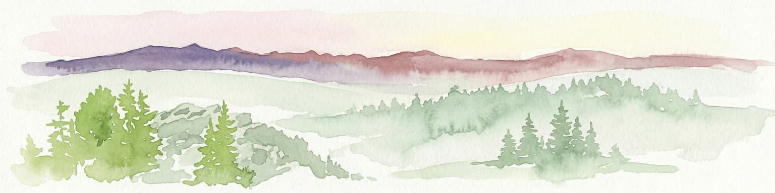
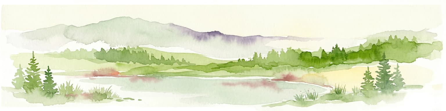
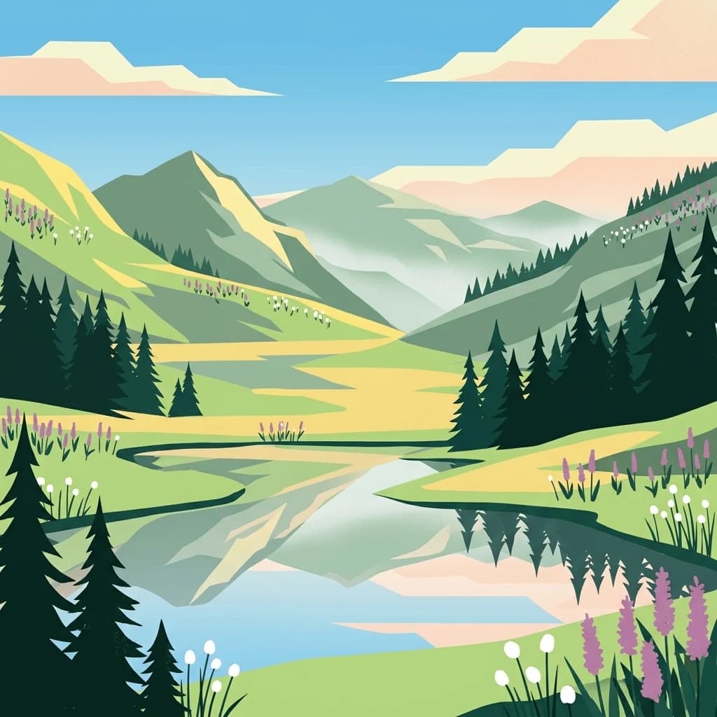
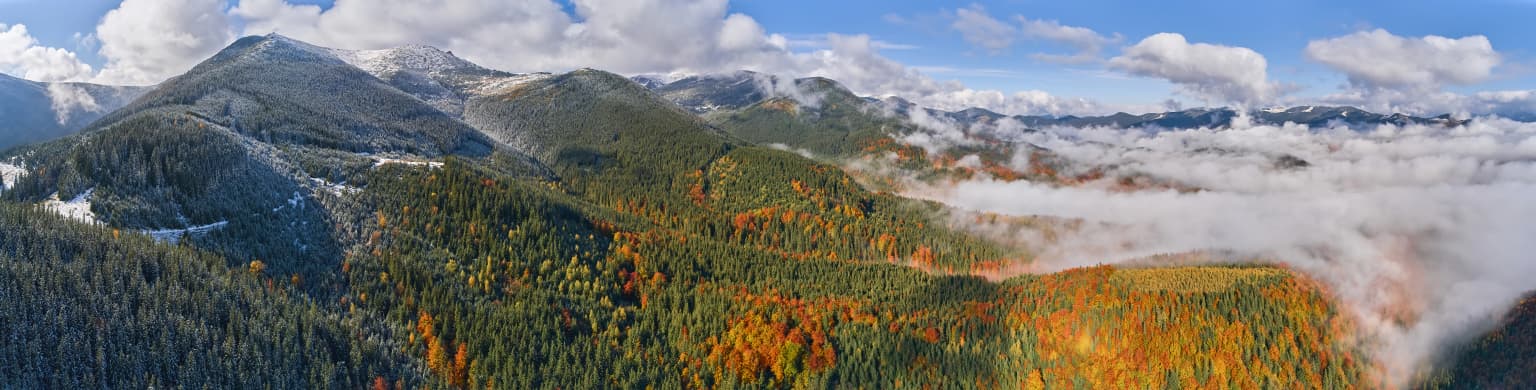
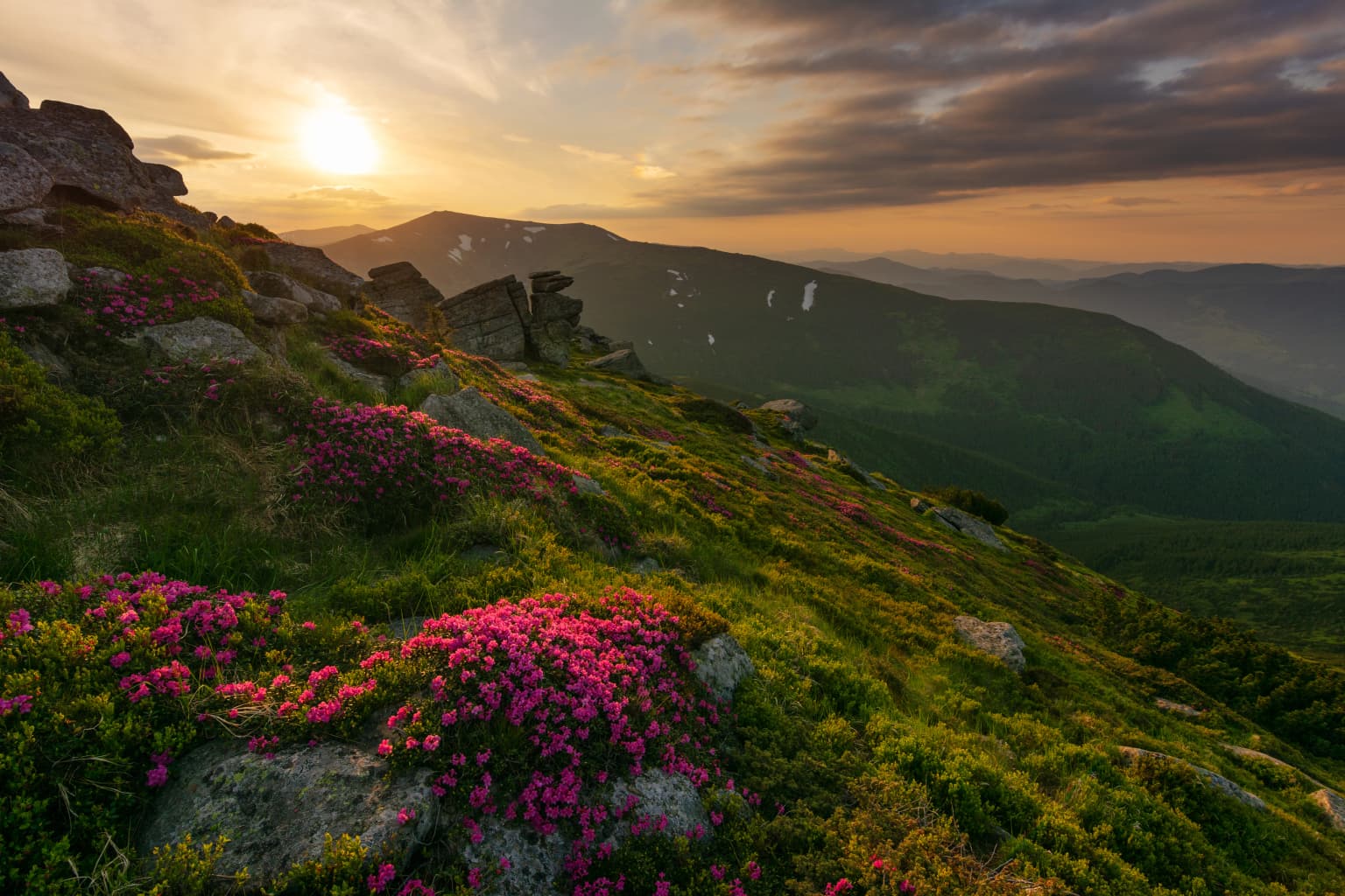
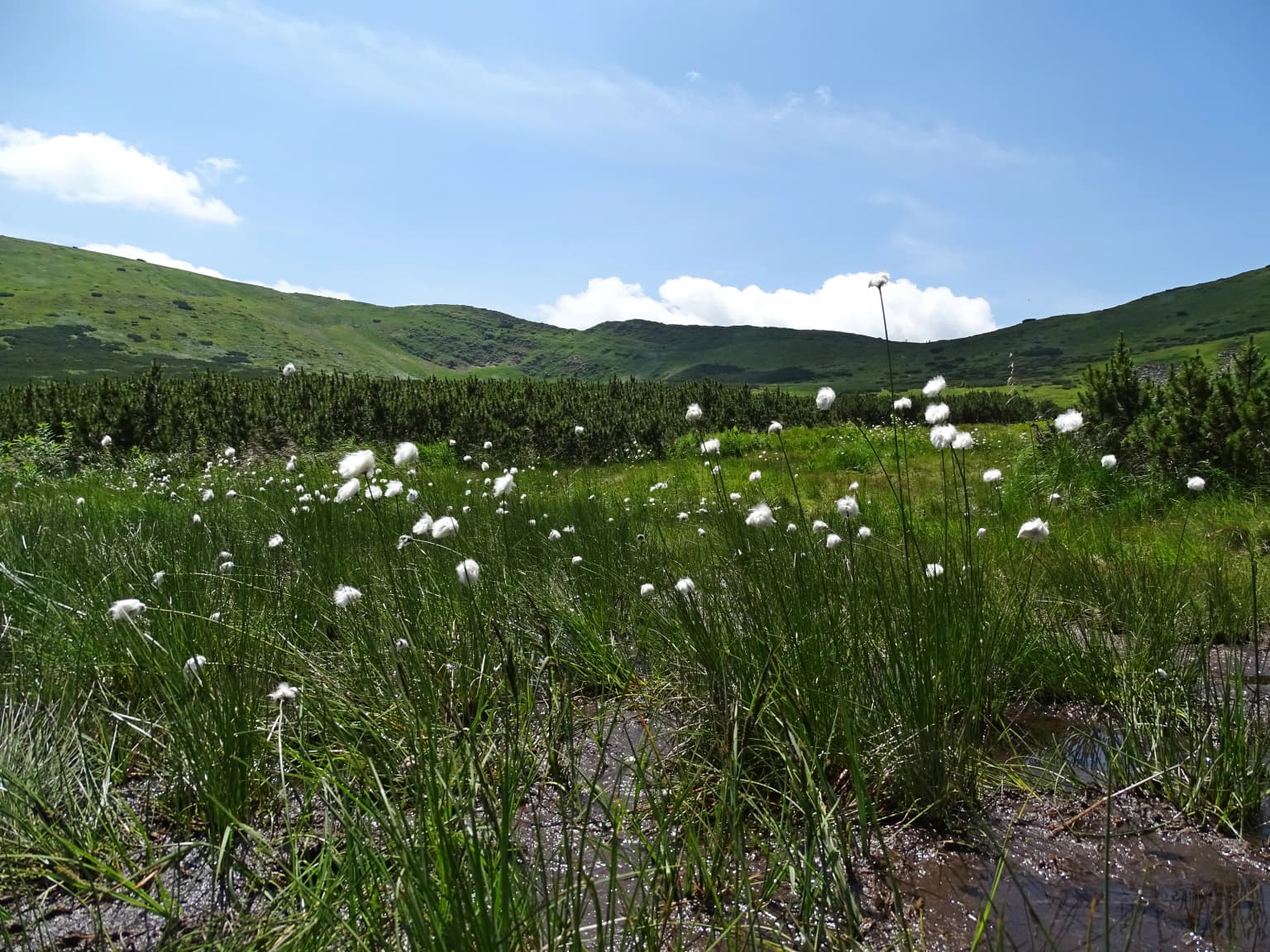
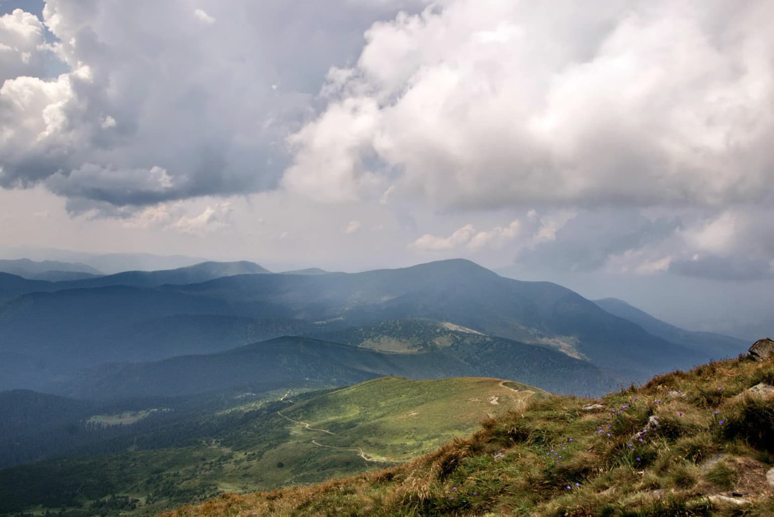
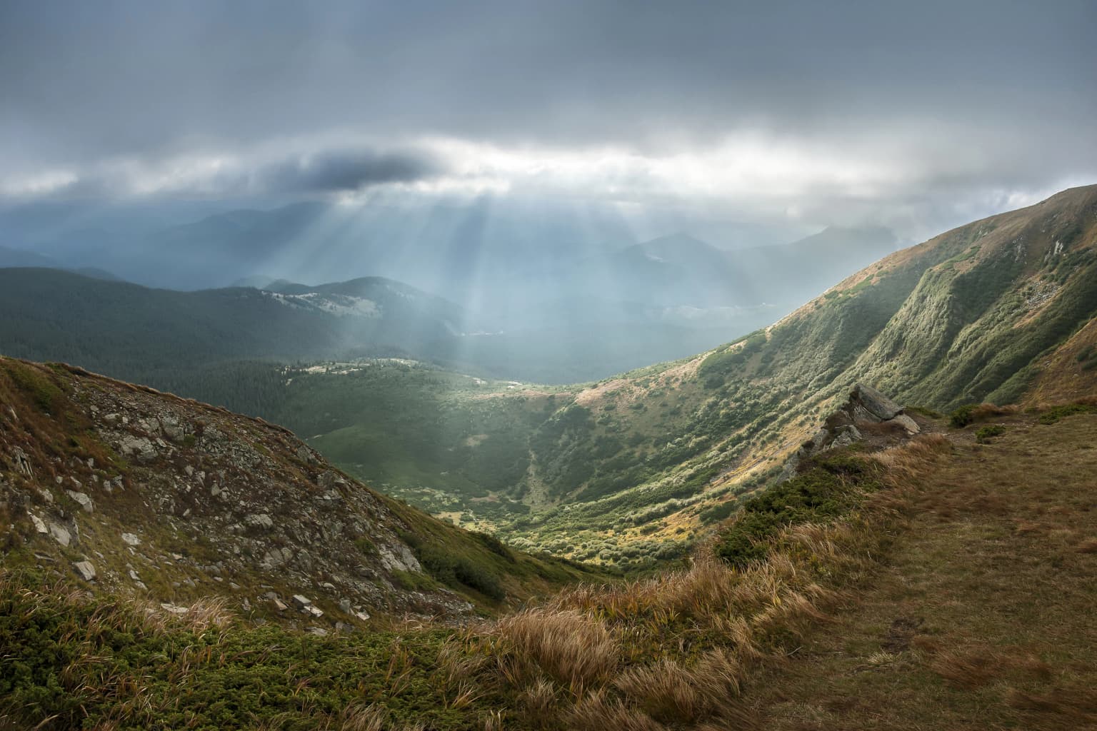
Carpathian National Nature Park is best known for protecting Ukraine's highest mountain terrain and the pristine alpine landscapes of the Carpathian range. The park encompasses Mount Hoverla, the definitive highest peak in Ukraine, making it a destination of national geographic significance. It features the Huk Waterfall, the highest single-drop waterfall in the Ukrainian Carpathians at 84 meters, and two glacial lakes that remain from the region's Pleistocene glacial history. The park's characteristic landscapes combine dense forests of silver fir, European beech, and spruce with open alpine meadows that create a visually striking mosaic across the mountain slopes.

Carpathian National Nature Park history and protected-area timeline

Carpathian National Nature Park has roots stretching back to 1921, when a nature reservation was established in the highest part of the Ukrainian Carpathians to protect the region's outstanding natural values. This initial protected area covered 4.47 square kilometers and represented an early recognition of the Carpathians' ecological significance within what would later become Ukraine. In 1968, this reservation was incorporated into the newly created Carpathian State Reserve, consolidating protection for a larger area of Carpathian landscapes.

The national park in its current form was established on June 3, 1980, when the Council of Ministers of the Ukrainian Soviet Socialist Republic issued a decree creating Carpathian National Nature Park. This establishment marked a significant milestone in Ukrainian conservation history, as the park became the first designated national park in Ukraine, pioneering a new category of protected area that would later expand across the country. The new national park incorporated approximately half of the territory that had previously belonged to the Carpathian State Reserve, establishing it as an independent unit under the authority of what is now the Ministry of Ecology and Natural Resources of Ukraine.

Carpathian National Nature Park landscape and geographic character

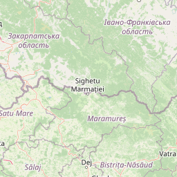
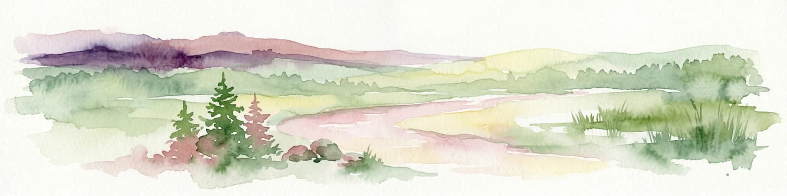
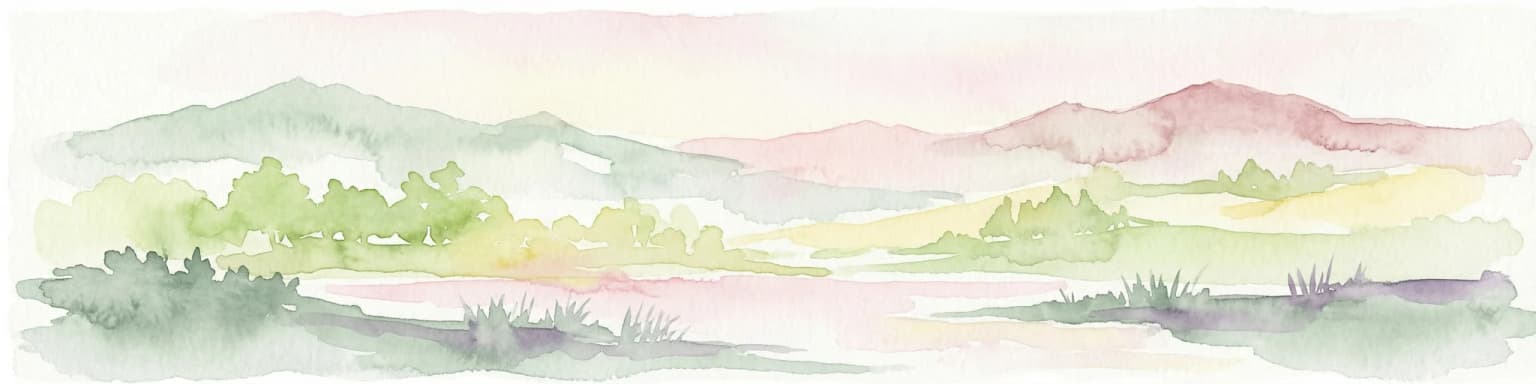
The landscape of Carpathian National Nature Park is defined by its location in the highest portion of the Ukrainian Carpathians, where dramatic mountain terrain creates a landscape of considerable vertical relief and scenic diversity. The park encompasses the eastern slopes of the Carpathian range within the drainage basins of the Prut River and Black Cheremosh River, both of which are significant waterways in the region. The Prut River takes its origin within the park's boundaries, adding to the site's importance as a hydrological divide and water source.

Mount Hoverla, rising to 2,061 meters, dominates the park's topography and stands as the highest point in all of Ukraine, creating a landmark of national geographic significance. The lowest points within the park lie at approximately 500 meters elevation, giving the protected area an elevation range of over 1,500 meters. This vertical gradient supports diverse landscape zones, from forested valleys to alpine summit areas. The park also contains two lakes of glacial origin, remnants of the Pleistocene glacial period that shaped much of the Carpathian high country. The Chornohirsky Ridge and other prominent features create the backbone of the park's scenic character.

Carpathian National Nature Park ecosystems, habitats, and plant life

Carpathian National Nature Park is situated within the Carpathian montane forests ecoregion, a biodiversity-rich area recognized for its ecological significance across Europe. The park's nature is characterized by a distinct vertical zonation of habitats, with forest ecosystems dominating the lower and middle elevations while alpine meadows and rocky terrain prevail at higher elevations. The three most common tree species within the park are silver fir, European beech, and spruce, forming forests that represent the characteristic Carpathian forest types.

The climate of the park is classified as subarctic without a dry season, reflecting its high elevation position in the Carpathian Mountains. Summers are mild with only one to three months exceeding 10 degrees Celsius, while winters are cold and snowy with temperatures remaining below freezing. This climate supports the subalpine and alpine ecosystems that give the park its distinctive character, with snow cover persisting in the higher areas through much of the year. The combination of climate, elevation, and geographic position creates conditions that support the Carpathian montane forest ecosystem and its associated biodiversity.

Carpathian National Nature Park wildlife and species highlights

The Carpathian National Nature Park provides habitat for the wildlife characteristic of the Carpathian montane forests ecoregion, an area known for its biological diversity within the European continent. While the Wikipedia source provides limited specific detail on individual species, the park's diverse habitats ranging from forest valleys to alpine meadows support a variety of fauna typical of Carpathian ecosystems. The protected status of the area ensures that these wildlife communities can persist in a relatively undisturbed condition, maintaining ecological connections across the mountain landscape.

Carpathian National Nature Park conservation status and protection priorities

Carpathian National Nature Park plays a critical role in Ukraine's conservation framework as the country's first national park and one of its largest protected areas. The park was established specifically to protect the landscapes of the Carpathian Mountains, representing a commitment to preserving this ecologically significant mountain region. Within the park's boundaries, a core zone of approximately 3,834 hectares prohibits any economic activity, providing strict protection for the most sensitive ecosystems and allowing natural processes to continue without significant human interference.

The park's location within the Carpathian montane forests ecoregion highlights its conservation significance at the European scale, as this ecoregion is recognized for its biodiversity and the relatively intact nature of its forest ecosystems. By protecting the headwaters of the Prut River and the slopes surrounding Ukraine's highest peak, the park safeguards both hydrological resources and a landscape of national symbolic importance. The park functions as a biodiversity reservoir, preserving representative Carpathian ecosystems and the species assemblages they support.

Carpathian National Nature Park cultural meaning and human context

The territory of Carpathian National Nature Park has been historically inhabited by the Hutsuls, an ethnic group with deep cultural roots in the Carpathian Mountains. The Hutsuls have traditionally inhabited this highland region, developing a distinctive culture closely tied to the mountain environment. Within the park's boundaries and surrounding area, there are a number of monuments of history and architecture, including historical wooden buildings that reflect the traditional construction techniques and cultural heritage of the Hutsul people.

This human presence adds cultural depth to the park's identity, connecting the natural landscapes to centuries of traditional land use and cultural practice. The wooden architectural heritage represents a unique blend of human adaptation to the mountainous environment and represents values that are integral to the regional identity of the Carpathian highlands.

Top sights and standout views in Carpathian National Nature Park

Carpathian National Nature Park offers several standout features that define its identity as Ukraine's premier mountain protected area. The park contains Mount Hoverla, Ukraine's highest peak at 2,061 meters, which serves as a major attraction for visitors and a symbol of the country's geographic heritage. The Huk Waterfall, dropping 84 meters, stands as the highest single-drop waterfall in the Ukrainian Carpathians and represents a dramatic natural spectacle. Two glacial lakes within the park provide additional scenic attractions and ecological value. The combination of alpine meadows, managed trails, and access to the Carpathian high country makes this park a destination of choice for understanding Ukraine's mountain landscapes.

Best time to visit Carpathian National Nature Park

The Carpathian National Nature Park experiences a subarctic climate that significantly shapes the visitor experience throughout the year. The summer months offer the most accessible period for hiking and exploration, with the subalpine and alpine zones becoming readily traversable during the warmer months when snow cover is minimal. July and August typically provide the best conditions for trail use and wildlife viewing in the higher elevations. The winter months bring heavy snowfall and cold temperatures, transforming the landscape into a snowy mountain environment that appeals to winter sports enthusiasts but presents challenges for general visitation. Spring and autumn offer transitional conditions with their own distinct character, though accessibility may be more limited during these shoulder seasons.

Park location guide

Geography guide, regional context, and park location map for Carpathian National Nature Park

Carpathian National Nature Park park geography, regions, and map view in Ukraine
Understand where Carpathian National Nature Park sits in Ukraine through a broader geographic reading of the surrounding landscape, nearby location context, and its mapped position within the national park landscape.

How Carpathian National Nature Park fits into Ukraine

Ukraine is a sovereign nation in Eastern Europe, bordered by Russia, Belarus, Poland, Slovakia, Hungary, Romania, Moldova, and the Black Sea. It is the second-largest country in Europe by area. Kyiv is the capital and largest city, followed by Kharkiv, Odesa, and Dnipro. The official language is Ukrainian. Ukraine has a population of approximately 32.9 million and operates as a unitary semi-presidential republic.

Wider geography shaping Carpathian National Nature Park in Ukraine

Ukraine occupies 603,628 km² in Eastern Europe, making it the second-largest country in Europe. It shares borders with Russia, Belarus, Poland, Slovakia, Hungary, Romania, and Moldova. The country has a southern coastline along the Black Sea and Sea of Azov. The terrain includes plains, steppes, and the Carpathian Mountains in the west.

Map view of Carpathian National Nature Park

Use this park location map to pinpoint Carpathian National Nature Park in Ukraine, understand its exact geographic position, and read its mapped placement within the surrounding landscape more clearly.

Pigeon | © OpenStreetMap contributors

Location context for Carpathian National Nature Park

Ivano-Frankivsk Oblast
Park atlas

Expand your atlas view of the Ukrainian Carpathians, comparing the diverse protected areas adjacent to Carpathian National Nature Park.

Explore Related Protected Areas Near Carpathian National Nature Park and Surrounding Ivano-Frankivsk Oblast
Deepen your understanding of Ukraine's protected landscapes by exploring other national parks and natural reserves near Carpathian National Nature Park in Ivano-Frankivsk Oblast. This structured atlas view allows for direct comparison of mountain terrain, forest reserves, and alpine environments, revealing key conservation patterns and regional park geography.
National parkIvano-Frankivsk Oblast

Syniohora National Nature Park: Protected Carpathian Landscape and Geographic Context

Explore the mapped terrain and protected area boundaries within the Gorgany mountains.

Syniohora National Nature Park, located in Ivano-Frankivsk Oblast, is a vital protected area safeguarding a significant portion of the Gorgany mountain massif. This park offers a unique opportunity to explore the mapped geography and natural landscape characteristic of the Ukrainian Carpathians. Its establishment as a national park underscores the importance of preserving the region's mountain terrain, protected forest ecosystems, and distinctive natural heritage for structured geographic discovery.

Area
108.66 km²
Established
2009
IUCN
II
Scope
Terrestrial
National parkVerkhovyna Raion

Verkhovyna National Nature Park: Explore Protected Landscape Geography in Verkhovyna Raion

Discover Ukraine's Verkhovyna National Nature Park mapped terrain.

Verkhovyna National Nature Park represents a vital protected area within the Verkhovyna Raion of Ukraine. This detailed atlas entry focuses on the park's geographic significance, providing insights into its mapped boundaries and its role within the regional landscape context of the Carpathian Mountains. It serves as a focused point for understanding the park's protected status and its place in a structured geographic discovery framework.

Area
120 km²
Established
2010
IUCN
II
Relief
Mountain
Watercolor illustration of a mountainous landscape with forests, a lake, and distant peaks.
National parkChernivtsi Oblast

Cheremosh National Nature Park: Protected Landscape and Geographic Context in UA

Explore mapped boundaries within Chernivtsi Oblast

Cheremosh National Nature Park represents a vital protected area within Ukraine's Chernivtsi Oblast. This entry offers a structured exploration of the park's geographic identity, focusing on its mapped boundaries and its significance as part of the regional natural landscape. Delve into the terrain and understand how Cheremosh National Nature Park contributes to the mapped geography of western Ukraine, providing a foundation for atlas-based discovery.

Area
71 km²
Established
2009
IUCN
II
Relief
Mountain
National parkChernivtsi Oblast

Vyzhnytsia National Nature Park: Protected National Park Landscape Exploration

Mapped boundaries and regional terrain in Chernivtsi Oblast.

Delve into the specific protected landscape of Vyzhnytsia National Nature Park, a designated national park in Ukraine's Chernivtsi Oblast. This detailed entry provides context on its geographic positioning, mapped natural features, and the surrounding regional terrain, aiding in structured atlas exploration and understanding its significance within the protected areas network.

Area
7,928.4 km²
Established
1995
IUCN
II
Relief
Mountain
Watercolor illustration of a mountainous landscape with rolling hills, a river, and green vegetation
Protected landscapeMaramureș County

Maramureș Mountains Natural Park: Protected Landscape and Carpathian Geography

Explore the mapped boundaries and dramatic terrain of Romania's largest nature park.

Delve into the Maramureș Mountains Natural Park, a protected landscape covering extensive tracts of the northern Carpathian Mountains. This page provides detailed geographic context, showcasing the park's mapped boundaries, diverse alpine terrain, and its role within the broader regional geography of Maramureș County. Understand the natural features and protected area significance of this expansive Carpathian wilderness for structured atlas exploration.

Area
1,488.5 km²
Established
2004
IUCN
V
Relief
Mountain
National parkZakarpattia Oblast

Synevyr National Nature Park: National Park Protected Landscape in Zakarpattia Oblast

Mapped geographic context and protected area identity

Delve into Synevyr National Nature Park, a designated national park situated in the diverse geography of Zakarpattia Oblast, Ukraine. This page provides essential atlas-driven context, detailing the park's mapped boundaries and its significance as a protected landscape within the Carpathian region. Understand its unique place in Ukraine's network of natural areas and explore its regional geographic setting for a comprehensive overview.

Area
404 km²
Established
1974
Relief
Mountain
Climate
Temperate
National parkIvano-Frankivsk Oblast

Halych National Nature Park: Ivano-Frankivsk Oblast National Park Atlas & Geography

Mapped protected boundaries and landscape context.

Halych National Nature Park is a vital protected area situated in the Ivano-Frankivsk Oblast of Ukraine, characterized by its transitional landscape where Carpathian foothills merge with the East European Plain. This national park offers a rich tapestry of environments, including oak-hornbeam and oak-beech forests, vital wetlands, and scarce steppe remnants, creating a mosaic of habitats mapped meticulously within the MoriAtlas platform. Explore the park's geographic identity, its diverse terrain, and its significance as a conservation landscape for understanding regional biodiversity.

Area
147 km²
Established
2004
IUCN
II
Relief
Lowland
Watercolor illustration of a winding river through rolling green hills with distant mountains under a soft sky
National parkTernopil Oblast

Dniester Canyon National Nature Park: National Park Protected Landscape and Geographic Context

Mapped boundaries and regional geography in Ternopil Oblast

Delve into the protected landscape of Dniester Canyon National Nature Park, a designated national park in Ukraine. This entry offers a structured view of the park's geographic setting within Ternopil Oblast, focusing on its mapped boundaries and its role as a significant protected natural area. Understand its placement within the broader atlas of Ukrainian natural landscapes and regional geography, offering a factual basis for exploration.

Area
108 km²
Established
2010
IUCN
II
Relief
Mixed relief

Common questions about visiting, size, designation, and location context for Carpathian National Nature Park

Carpathian National Nature Park FAQs for park facts, access, geography, and protected area context
Find quick answers about Carpathian National Nature Park, including protected-area facts, park geography, trail and visitor context, and how the park fits into its surrounding country and regional landscape.
MoriAtlas Explorer

Continue Your Protected Areas Search Across the Global Atlas

Deepen your exploration by continuing the structured search for national parks and protected areas worldwide. Utilize the comprehensive filtering capabilities to compare different conservation landscapes and refine your understanding of global park geography. Discover more about the distribution and characteristics of protected natural areas.

Global natural geography