
Por qué destaca Parque Nacional Schiermonnikoog
Schiermonnikoog es conocido principalmente por sus dinámicos sistemas de dunas, que representan un raro ejemplo de paisajes costeros en evolución natural en los Países Bajos. La isla sirve como hábitat crítico para aves marinas nidificantes, en particular el pato eider, que cría aquí con aproximadamente 2.000 parejas. Las marismas saladas, o kwelders, a lo largo de la costa sur son vitales para las aves migratorias que viajan entre Siberia y Groenlandia. La posición del parque dentro del Mar de Frisia, un sitio Patrimonio Mundial de la UNESCO, subraya su importancia internacional como ecosistema costero que alberga focas grises, focas comunes y diversa vida marina. La transformación de antiguas plantaciones de pinos de nuevo a bosque caducifolio representa un esfuerzo de restauración ecológica en curso.
Historia de Parque Nacional Schiermonnikoog y cronología del área protegida
El Parque Nacional Schiermonnikoog se estableció oficialmente el 19 de julio de 1989 mediante una decisión del Ministro de Agricultura y Pesca, lo que lo convierte en el primer parque nacional holandés creado según los estándares modernos de conservación. Antes de su protección, la isla había albergado durante mucho tiempo una pequeña población de pescadores que vivían en las desafiantes condiciones costeras. El estado inició esfuerzos sistemáticos de silvicultura alrededor de 1900 para estabilizar las arenas movedizas que amenazaban la habitabilidad de la isla. Se construyeron diques para proporcionar seguridad contra inundaciones, y se convirtieron marismas seleccionadas en pólderes agrícolas mediante el aterramiento. A lo largo del siglo XX, el turismo y la recreación aumentaron gradualmente en importancia, lo que llevó a que partes de la isla fueran designadas como reservas naturales. El establecimiento del parque nacional institucionalizó una protección integral, con responsabilidades de gestión delegadas a Natuurmonumenten, la organización holandesa de conservación de la naturaleza, mientras que Rijkswaterstaat mantiene la supervisión de la protección costera. La designación Ramsar para el humedal "Duinen Schiermonnikoog" se formalizó el 29 de agosto de 2000, reconociendo su importancia internacional como ecosistema de humedal costero.
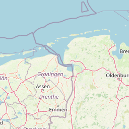
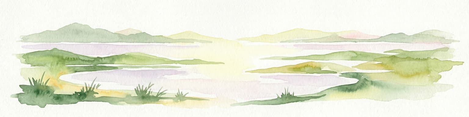
Paisaje y carácter geográfico de Parque Nacional Schiermonnikoog
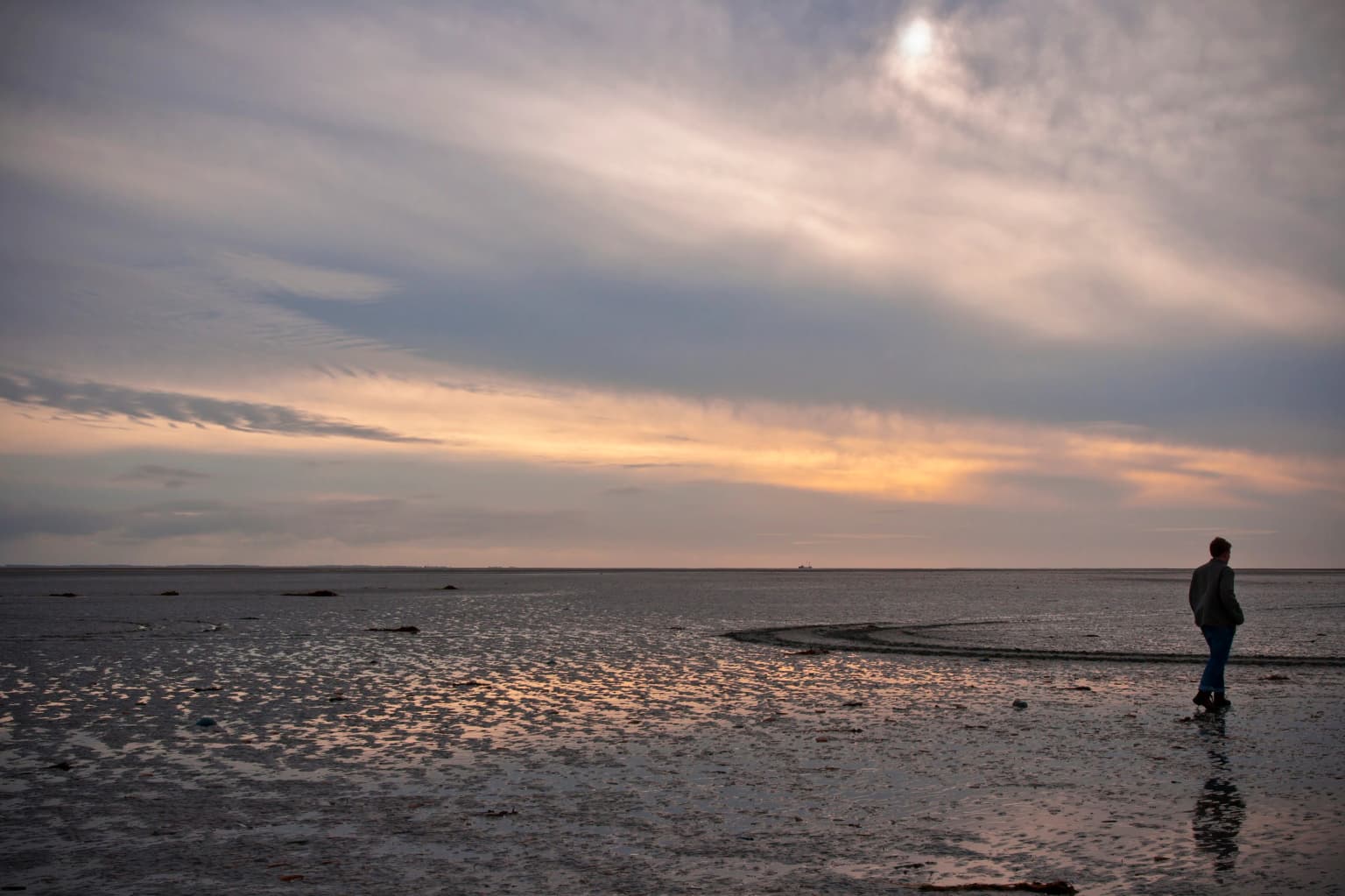
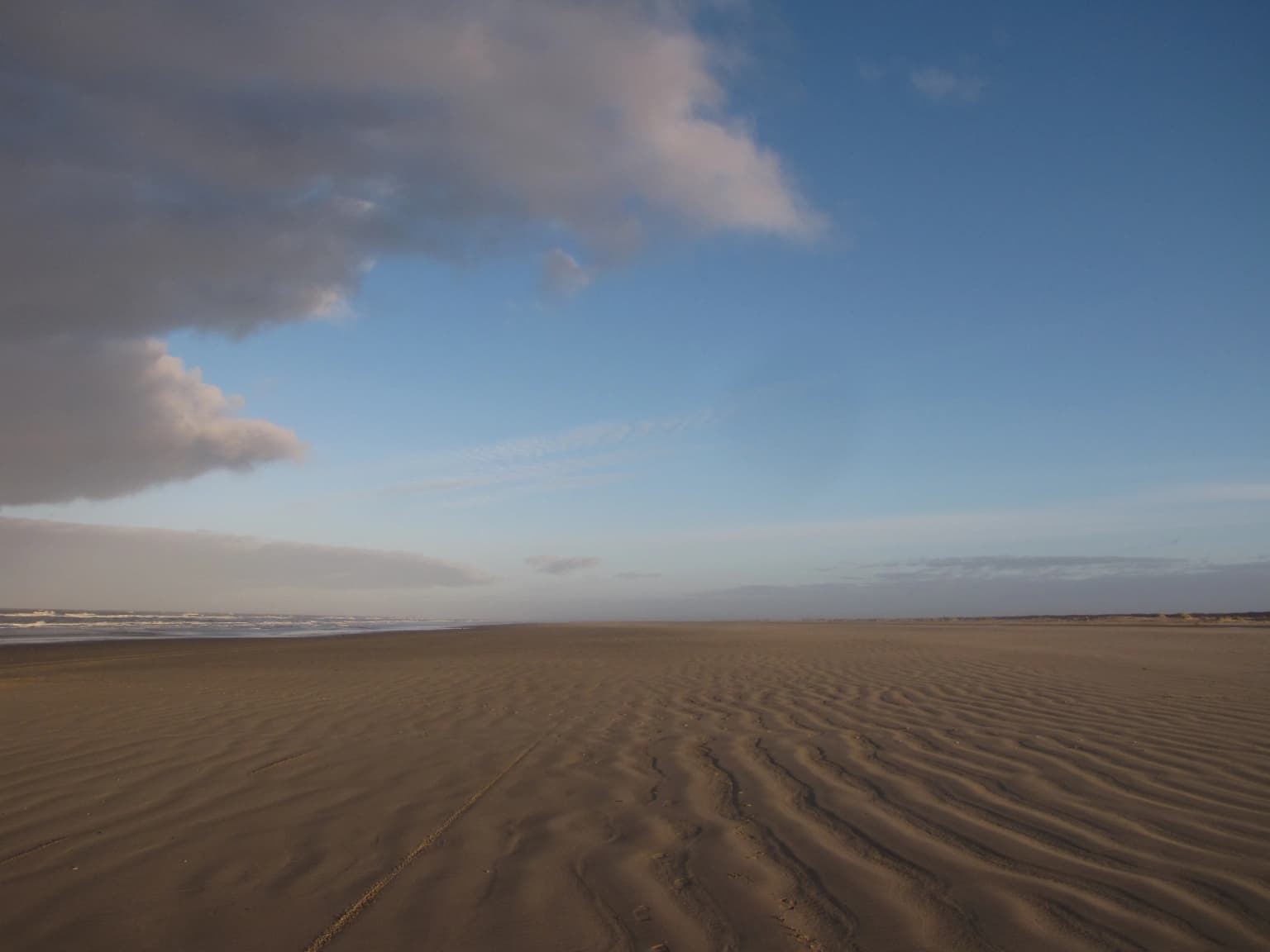
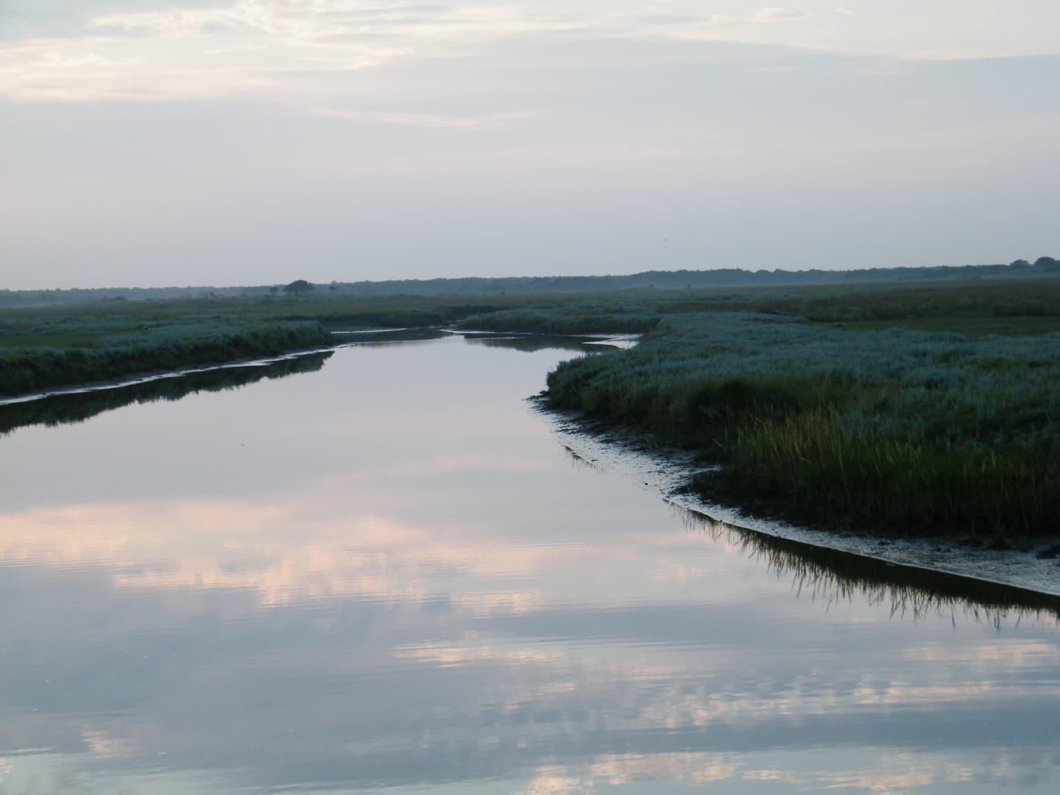
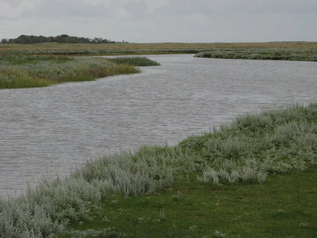
El paisaje de Schiermonnikoog refleja la interacción continua entre el viento, el agua y los sedimentos que define la región del Mar de Frisia. La base de la isla data del último período glacial, y su forma ha estado en constante cambio desde entonces, con la deriva de arena, la erosión y la sedimentación remodelando continuamente la línea costera. El parque contiene un espectro completo de tipos de dunas, desde antiguas dunas parabólicas hasta valles de dunas jóvenes formados recientemente, cada uno sustentando diferentes etapas de sucesión vegetal. Las marismas saladas, conocidas localmente como kwelders, se encuentran en el borde sur que bordea el Waddenzee, donde la inundación de las mareas deposita sedimentos y aumenta la elevación de la marisma con el tiempo. Las antiguas marismas represadas se han convertido en pólderes agrícolas, en contraste con las áreas de humedales naturales. Lagos de agua dulce se encuentran en depresiones dentro del sistema de dunas, mientras que las marismas de marea y las playas extienden el paisaje hacia el mar. Un pequeño lago y el pueblo de Schiermonnikoog representan la presencia humana dentro del paisaje, por lo demás natural.
Ecosistemas, hábitats y flora de Parque Nacional Schiermonnikoog
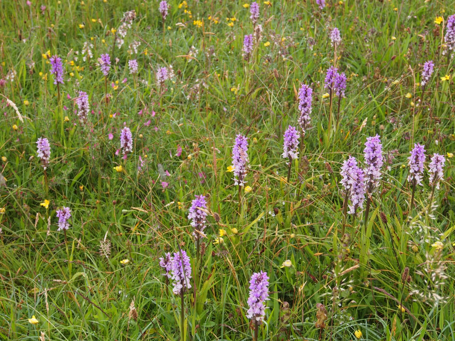
El carácter ecológico de Schiermonnikoog deriva de la interacción de hábitats terrestres, de agua dulce y marinos dentro de un entorno costero dinámico. La vegetación dunar progresa desde arena desnuda a través de comunidades de musgos y líquenes hasta arbustos especializados que incluyen espino marino, espino albar y madreselva a medida que las condiciones del suelo se estabilizan. Las zonas de marismas saladas sustentan plantas halófitas especializadas como la siempreviva marina, el artemisia marina, la aster marina y la salicornia, que toleran la inundación regular de las mareas. Las antiguas plantaciones de pinos establecidas en el siglo XX para combatir la deriva de arena se están convirtiendo progresivamente en bosques caducifolios, permitiendo que especies como el abedul plateado reemplacen a las coníferas. El entorno submarino alberga praderas de zostera y diversas comunidades de algas marinas, mientras que las marismas de marea proporcionan importantes zonas de alimentación para las aves marinas. El Mar de Frisia circundante funciona como zona de cría para muchas especies de peces y sirve como paso vital para las aves migratorias que transitan entre las zonas de cría árticas y las áreas de invernada más al sur.
Vida silvestre y especies destacadas de Parque Nacional Schiermonnikoog
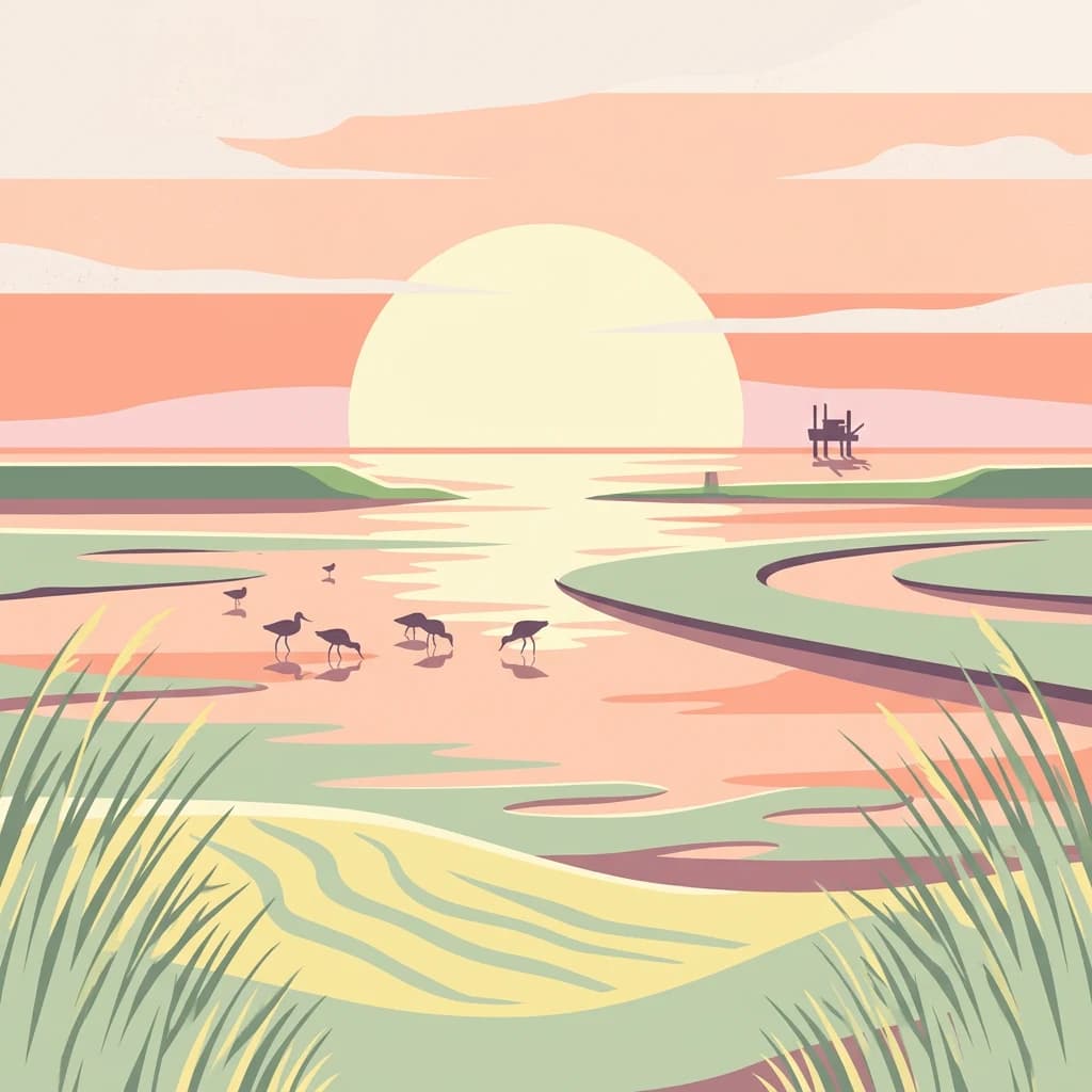
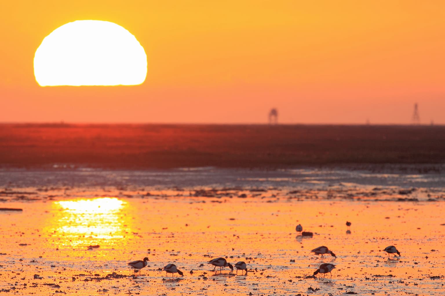
Schiermonnikoog alberga una población de aves excepcionalmente rica que cambia notablemente con las estaciones. La isla sirve como importante zona de cría para aves marinas, como el eider, con aproximadamente 2,000 parejas reproductoras, así como para el tarro blanco, el aguilucho pálido y la collalba gris. La marisma salada de Oosterkwelder alberga importantes colonias de espátula común y garceta común, mientras que los bosques proporcionan hábitat a especies como la chocha perdiz y el colirrojo real. Durante la migración y el invierno, la isla se convierte en una zona de paso crucial para limícolas procedentes de las zonas de cría de Siberia y Groenlandia, incluyendo el correlimos tridáctilo, el correlimos común y el aguja colinegra. Las poblaciones de mamíferos incluyen la foca gris y la foca común en las aguas circundantes, mientras que los conejos, antaño abundantes, han disminuido drásticamente debido a la enfermedad hemorrágica del conejo. En 2009 se registró un corzo en la isla, lo que supuso la primera observación en quince años. La mariposa *Argynnis niobe*, relacionada con la perla de las dunas, representa una especie de insecto particularmente notable.
Estado de conservación y prioridades de protección de Parque Nacional Schiermonnikoog
Schiermonnikoog posee múltiples capas de protección internacional que reflejan su importancia ecológica. La Convención Ramsar designó el humedal "Duinen Schiermonnikoog" en 2000, reconociendo su valor como hábitat de humedal costero. Toda el área se encuentra dentro de la red de protección de la naturaleza de la Unión Europea Natura 2000, específicamente el sitio "Duinen Schiermonnikoog" que cubre 10,24 kilómetros cuadrados. El Mar de Frisia adyacente fue inscrito en la Lista del Patrimonio Mundial de la UNESCO en 2009, estableciendo la importancia internacional del ecosistema de mareas más amplio. Los objetivos de gestión se centran en aumentar el dinamismo de los procesos dunares, permitiendo la evolución costera natural en lugar de la estabilización artificial. El acceso de los visitantes se regula durante la primavera y el verano para proteger las colonias de aves en reproducción, y el estatus de isla sin coches para los visitantes contribuye a la sólida protección de la vida silvestre. Natuurmonumenten tiene el parque en arrendamiento a largo plazo del estado neerlandés y coordina la gestión con los organismos gubernamentales y las partes interesadas locales.
Significado cultural y contexto humano de Parque Nacional Schiermonnikoog
Schiermonnikoog ha mantenido un delicado equilibrio entre el asentamiento humano y la preservación natural a lo largo de su historia. La pequeña población de la isla consistía históricamente principalmente en pescadores que vivían en estrecha asociación con el mar y el entorno costero. El pueblo de Schiermonnikoog sigue siendo el único asentamiento dentro de los límites del parque, mientras que la zona agrícola de Banckspolder se encuentra fuera de la zona protegida. El nombre neerlandés "Nationaal Park Schiermonnikoog" refleja la identidad de la isla dentro de la provincia de Frisia. El paisaje muestra rastros de intervención humana histórica, desde los programas forestales de principios del siglo XX hasta la creación de pólderes, sin embargo, estas modificaciones siguen siendo relativamente modestas en comparación con muchas otras áreas costeras europeas. El contexto cultural del parque es esencialmente de mínima habitabilidad dentro de un paisaje predominantemente natural, un patrón que se ha conservado a través del marco de protección establecido en 1989.
Lugares imprescindibles y vistas destacadas de Parque Nacional Schiermonnikoog
Schiermonnikoog destaca como la isla más intacta del Mar de Frisia neerlandés, ofreciendo una rara combinación de procesos naturales dinámicos y sólida protección ecológica. Los sistemas de dunas del parque demuestran una activa evolución costera, con nuevas dunas formándose mientras las más antiguas se estabilizan y transforman a través de la colonización vegetal. La colonia de patos eider de aproximadamente 2.000 parejas reproductoras representa una de las poblaciones nidificantes más significativas de los Países Bajos. Los hábitats de marismas saladas albergan poblaciones de aves limícolas de importancia internacional durante la migración, con especies que viajan desde las zonas de cría de Siberia y Groenlandia. La designación del adyacente Mar de Frisia como Patrimonio Mundial de la UNESCO en 2009 subraya el papel del parque dentro de un ecosistema costero de importancia mundial. El estatus de isla sin coches para los visitantes crea condiciones excepcionales para la vida silvestre, lo que convierte a este en uno de los parques nacionales más eficazmente protegidos de los Países Bajos.
Mejor época para visitar Parque Nacional Schiermonnikoog
El carácter de Schiermonnikoog cambia sustancialmente con las estaciones, ofreciendo diferentes experiencias a lo largo del año. La primavera y principios de verano traen la temporada de cría de aves, cuando los patos eider, las espátulas y otras aves marinas anidan en la isla, aunque el acceso de los visitantes está regulado para minimizar las perturbaciones a las colonias sensibles. Las dunas florecen con flores de espino marino y la vegetación de brezo cobra vida con color. El verano ofrece el clima más cálido y el acceso más fácil a las playas, aunque este es también el período de máxima actividad de visitantes. El otoño ve la partida de las aves reproductoras y la llegada de aves limícolas migratorias que se establecen entre sus zonas de cría del norte y sus áreas de invernada del sur. Las marismas saladas y las marismas de marea se llenan de bandadas en busca de alimento. El invierno transforma la isla en un paisaje más tranquilo, con menos visitantes y la oportunidad de observar focas con mayor facilidad en las marismas de marea. El mejor momento dependerá en última instancia de si los visitantes priorizan la observación de aves en reproducción, la recreación en la playa o el espectáculo de las concentraciones de aves migratorias.