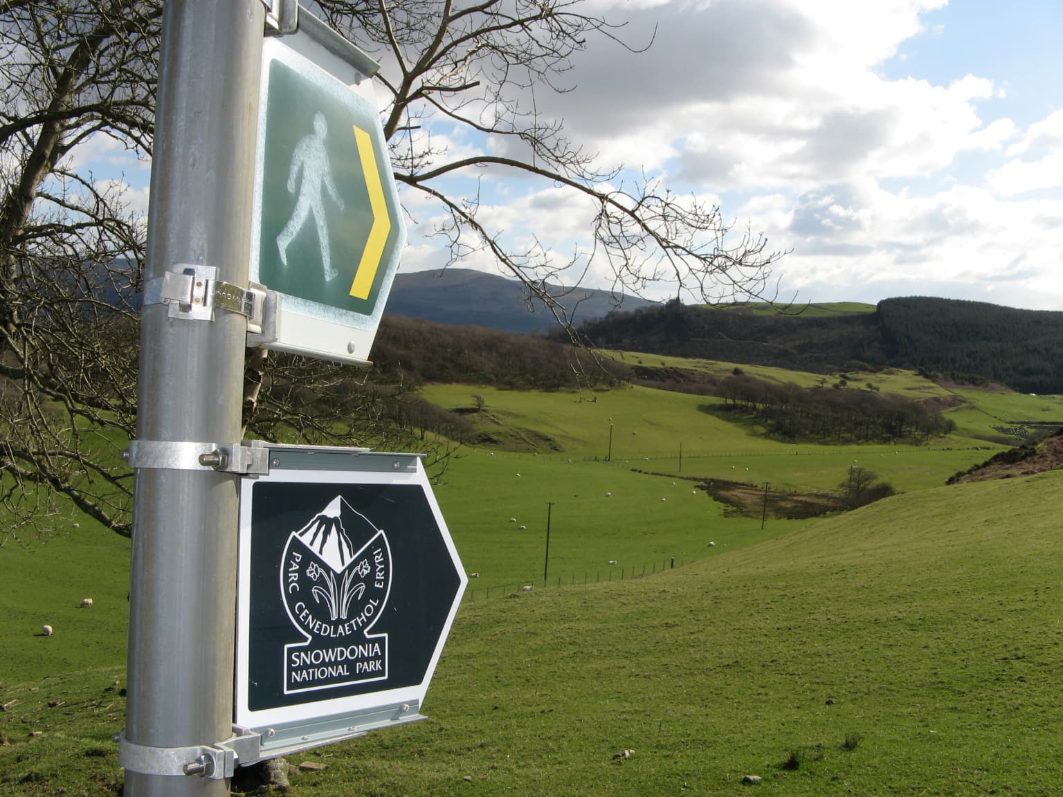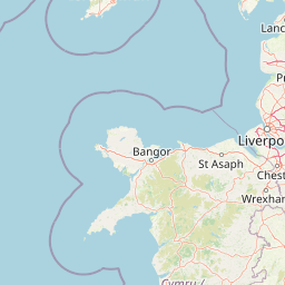

Por qué destaca Parque Nacional de Snowdonia
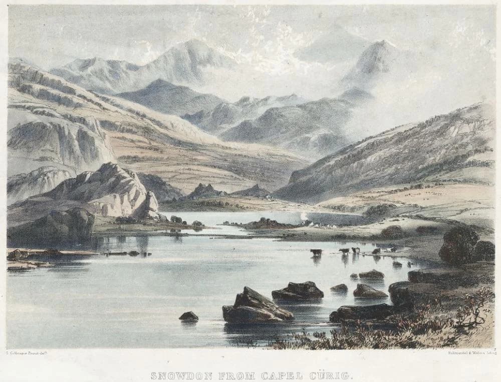
Snowdonia es más conocido por su espectacular paisaje montañoso, en particular el icónico pico de Snowdon, que atrae a cientos de miles de visitantes anualmente. El paisaje del parque de picos afilados, profundos valles glaciares y lagos de montaña representa uno de los terrenos más espectaculares de las Islas Británicas. El ferrocarril de la cumbre de Snowdon, el único ferrocarril de montaña de las Islas Británicas, ofrece a los visitantes una alternativa a la caminata hasta la cima. El parque también alberga ovejas de raza Berwyn y es una zona importante para las aves de las tierras altas, incluyendo halcones peregrinos y chorlitejos dorados.
Historia de Parque Nacional de Snowdonia y cronología del área protegida
El paisaje de Snowdonia ha sido moldeado por siglos de actividad humana, desde la agricultura de montaña medieval hasta la extracción de pizarra en la era industrial. Las comunidades de la región han mantenido una presencia prolongada en estas montañas, con pequeños asentamientos y granjas dispersas por los valles. La creación del parque nacional en 1951 marcó un momento crucial en la conservación británica, estableciendo protecciones legales para este paisaje emblemático y creando un marco para equilibrar el acceso público con la preservación del medio ambiente. El establecimiento del parque siguió a décadas de defensa por parte de conservacionistas que reconocieron la necesidad de proteger el patrimonio montañoso de Gales del desarrollo descontrolado.
Paisaje y carácter geográfico de Parque Nacional de Snowdonia
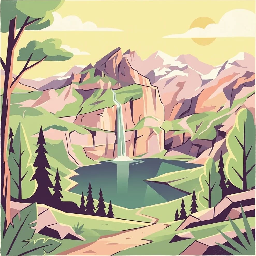
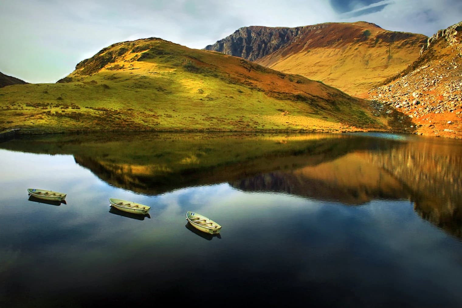
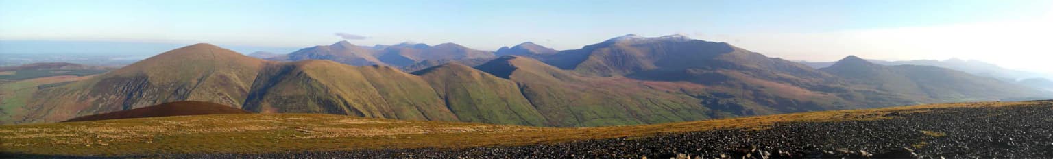
El paisaje de Snowdonia se define por su terreno montañoso, formado durante la glaciación Devensiana cuando las capas de hielo excavaron profundos valles y tallaron los característicos circos glaciares que ahora albergan lagos de montaña. Los picos más altos están dominados por roca desnuda, acantilados escarpados y pedregales, mientras que las laderas más bajas albergan brezales y valles cubiertos de hierba. El parque contiene más de 90 lagos, que van desde pequeñas lagunas hasta el más grande Llyn Tegid, cada uno reflejando las montañas circundantes. Las cascadas son una característica notable, con la caída abrupta del río Rhaeadr entre las más impresionantes. El contraste entre los valles inferiores cultivados y las tierras altas salvajes crea un paisaje de sorprendente variedad.
Ecosistemas, hábitats y flora de Parque Nacional de Snowdonia
Snowdonia alberga una variedad de hábitats característicos del interior de Gran Bretaña, desde las comunidades de brezales de la cumbre hasta los robledales de los valles inferiores. El terreno más alto del parque alberga vegetación alpina y subártica, incluyendo musgos y líquenes raros que sobreviven en las condiciones frescas y húmedas. Los turberales cubren áreas sustanciales, almacenando carbono y sustentando comunidades de plantas especializadas. Los robledales, particularmente en la parte sur del parque, representan algunos de los bosques más naturales que quedan en las tierras bajas de Gran Bretaña. Estos bosques albergan ricas comunidades de helechos, musgos e invertebrados.
Vida silvestre y especies destacadas de Parque Nacional de Snowdonia
La fauna del parque refleja sus diversos hábitats, con especies adaptadas tanto al austero entorno montañoso como a los valles más resguardados. Halcones peregrinos anidan en cornisas rocosas, mientras que el raro chorlito patinegro cría en las zonas altas durante el verano. Milanos reales y ratoneros sobrevuelan los valles, y el parque alberga importantes poblaciones de liebres de montaña que cambian de color con las estaciones. Los lagos y ríos contienen poblaciones de trucha común y salvelino, una especie de agua fría que sobrevivió en lagos profundos desde la última Edad de Hielo.