

Why Inagua National Park stands out
Inagua National Park is world-renowned for its spectacular flamingo population, which represents the largest breeding colony of the West Indian flamingo species on Earth. The park's shallow coastal flats and wetlands provide ideal feeding and nesting conditions for these distinctive pink birds, which number over 50,000 individuals. Beyond flamingos, the park supports exceptional bird biodiversity and is celebrated as a premier birdwatching destination in the Caribbean. The presence of Lake Rosa, a massive saltwater lake within the park boundaries, adds to the area's ecological distinction and provides habitat for additional bird species and marine life.
Inagua National Park history and protected-area timeline
Concern about West Indian flamingo populations in the Bahamas dates back to at least 1904, when naturalists and early conservationists recognized the species was declining due to hunting pressure and habitat loss. By the 1960s, these concerns had crystallized into formal conservation action, leading to the formation of the Bahamas National Trust and the creation of Inagua National Park specifically to protect the flamingo breeding grounds. The park's establishment represented the first major step by the Bahamian government to protect its natural heritage systematically. Over the subsequent decades, the park's protected status enabled the flamingo population to recover from near-threatened status to the thriving colony of over 50,000 birds observed today. This conservation success story became a model for Caribbean protected area management. The 1999 Ramsar designation formalized international recognition of the park's wetland values, while the park's influence extended to neighboring islands where bird populations also benefited from the regional conservation focus initiated at Inagua.
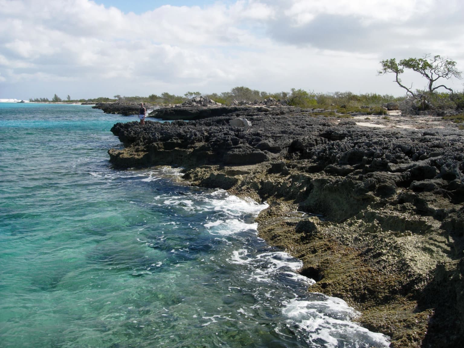
Inagua National Park landscape and geographic character
The physical landscape of Inagua National Park is defined by its coastal wetlands and inland water bodies set against low-lying Caribbean terrain. Lake Rosa, the largest saltwater lake in the Bahamas, dominates the park's interior and represents a distinctive hydrological feature in an island nation where freshwater is scarce. The lake's shallow, saline waters support specialized biota and create important feeding areas for waterbirds. Coastal areas of the park feature extensive tidal flats and mangroves that fringe the shoreline, particularly along the northern and eastern coasts of Great Inagua. The interior away from the lake consists largely of dense scrub vegetation known as coppice, with pockets of Caribbean pine occurring on slightly elevated ground. The overall topography remains quite flat, with the highest points barely reaching above sea level, characteristic of the Bahamas' limestone base island formation.
Inagua National Park ecosystems, habitats, and plant life
The ecological character of Inagua National Park centers on its coastal wetland ecosystems, which rank among the most productive and biodiverse habitats in the Caribbean. The shallow, hypersaline conditions of Lake Rosa and the coastal flats create ideal foraging grounds for flamingos and numerous other waterbird species. Mangrove systems fringe the coastline and provide critical nursery habitat for fish and crustaceans while also stabilizing the shore against erosion. The interior coppice forests, though less spectacular than the wetlands, support terrestrial bird species, reptiles, and invertebrates adapted to the dry Caribbean conditions. The park's designation as an Important Bird Area reflects the concentration of significant bird populations that depend on these varied habitats throughout the annual cycle.
Inagua National Park wildlife and species highlights
The West Indian flamingo is the undisputed wildlife icon of Inagua National Park, with the park sheltering the largest and most significant breeding colony of this species in the world. These distinctive pink wading birds gather in vast numbers on the shallow coastal flats and Lake Rosa margins, where they feed on brine shrimp and other aquatic invertebrates. The population's recovery from near-extinction to over 50,000 birds represents one of the Caribbean's great conservation success stories. Beyond flamingos, the park supports remarkable bird diversity including numerous heron and egret species, brown pelicans, frigatebirds, and endemic Caribbean songbirds. The surrounding waters contain marine fish, spiny lobsters, and other species that move between the reef systems and the protected coastal zones.
Inagua National Park conservation status and protection priorities
Inagua National Park represents a cornerstone of Bahamas conservation strategy and holds international significance as a Ramsar Wetland of International Importance designated in 1999. The park's protective framework has been essential to the recovery of the West Indian flamingo, a species that was once severely threatened by hunting and habitat degradation. Beyond protecting the flamingo colony itself, the park has served as a catalyst for broader regional conservation benefits, with bird populations in nearby islands including Mayaguana, Acklins, Crooked Island, Andros, and even Cuba showing improvement as conservation awareness spread from the Inagua model. The Bahamas National Trust's management of the park has emphasized balancing species protection with the ecological integrity of the broader island ecosystem, demonstrating how focused protection of a single species can yield benefits that extend far beyond the original target.
Inagua National Park cultural meaning and human context
Great Inagua has historically been one of the more sparsely populated islands in the Bahamas, and the establishment of the national park in 1965 occurred when the human population remained relatively small. The park's creation did not involve significant displacement of communities, and the local population has generally supported the conservation designation that has brought international attention and some economic benefit through birdwatching tourism. The flamingo holds cultural significance in the Bahamas beyond its ecological value, appearing in art and serving as an iconic representation of the islands' natural heritage.
Top sights and standout views in Inagua National Park
Inagua National Park protects the Caribbean's largest flamingo colony and one of the world's most significant coastal wetland complexes. The park encompasses Lake Rosa, the Bahamas' largest saltwater lake, and provides essential habitat for migratory birds traversing the Atlantic flyway. The successful recovery of the West Indian flamingo from near-extinction to a thriving population of over 50,000 birds stands as a landmark conservation achievement. Visitors can observe flamingos from designated viewing areas, particularly during breeding season when the birds engage in elaborate courtship displays and form dense nesting colonies.
Best time to visit Inagua National Park
The optimal time to visit Inagua National Park for bird observation is during the winter months from November through March, when migratory birds are present in greatest numbers and the flamingo colony is most active. The dry season from December through May generally offers more comfortable conditions for exploration, with lower humidity and reduced chance of rainfall. Summer months bring higher temperatures and the potential for hurricanes, which can affect travel to the relatively remote island. The flamingos are present year-round, but the breeding season from approximately March through June offers the most spectacular viewing opportunities as birds engage in nesting behaviors.


