
Why Tunari National Park stands out
Tunari National Park is best known for its dramatic mountain landscapes within the Tunari Mountain Range, one of the prominent highland systems in central Bolivia. The park protects diverse Andean ecosystems ranging from cloud forests in the lower elevations to alpine grasslands and rocky terrain at higher altitudes. It serves as an important watershed area providing water resources for the Cochabamba region and supports biodiversity characteristic of Bolivia's montane environments. The park's proximity to Cochabamba also makes it a significant green space for the region's residents.
Tunari National Park history and protected-area timeline
Tunari National Park was established in 1992 as part of Bolivia's expanding national protected areas system during a period of increased environmental conservation activity in the country. The creation of the park reflected growing recognition of the need to protect the unique Andean ecosystems found in the Tunari Mountain Range, which represents a significant geographic feature in central Bolivia. The protected area was designated under Bolivia's protected areas legislation and placed under the management of the Servicio Nacional de Áreas Protegidas (SENAP), the national agency responsible for administering Bolivia's parks and reserves. The park's establishment came during a broader era of protected area expansion in Bolivia during the 1990s, when numerous new national parks and reserves were created to address biodiversity conservation concerns and fulfill international environmental commitments.
Tunari National Park landscape and geographic character
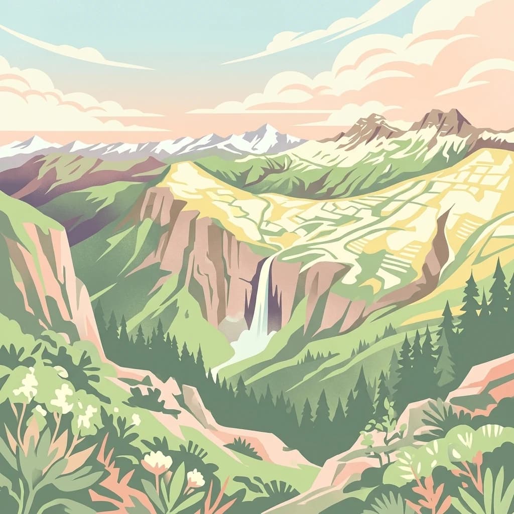
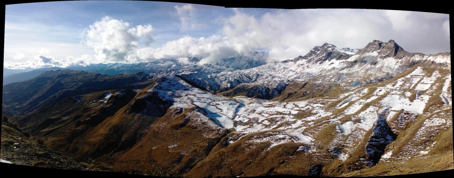
The Tunari National Park landscape is dominated by the Tunari Mountain Range, a prominent mountainous system in Bolivia's central highlands. The terrain features steep peaks, ridgelines, and valleys that characterize the Andean foothills in this region. Elevation ranges across the park create distinct environmental zones, from lower elevation areas supporting vegetation communities to higher alpine zones with rocky outcrops and grassland ecosystems. The mountainous topography influences local climate patterns and hydrology, with the range serving as an important watershed that channels water flow toward the surrounding lowlands and ultimately into larger river systems. The visual character of the park combines the dramatic silhouettes of Andean peaks with the more gentle contours of high-altitude grasslands and the denser vegetation found in sheltered valleys and cloud forest zones.
Tunari National Park ecosystems, habitats, and plant life
The ecosystems within Tunari National Park represent typical Andean environmental zones found in central Bolivia's highland regions. Montane grassland ecosystems dominate the higher elevations, characterized by tough grasses adapted to cool, often windy conditions. Cloud forest communities develop on the more humid slopes where moisture from intercepted cloud cover creates conditions suitable for denser forest growth. These forests typically feature a mix of tree species adapted to the subtropical highland environment, with epiphytes, ferns, and other moisture-loving plants contributing to the ecological complexity. The park's location within the broader Andean biodiversity hotspot means it supports species found nowhere else on Earth, though the specific species composition reflects the elevational range and geographic isolation of the Tunari Range. Watershed and hydrological functions are particularly important, with the park's terrain playing a role in water capture and storage that supports downstream water users in the Cochabamba region.
Tunari National Park wildlife and species highlights
The wildlife within Tunari National Park reflects the Andean character of the protected area, with species assemblages typical of Bolivia's highland environments. Birdlife includes various highland species adapted to grassland and rocky terrain habitats, while forest-dwelling species occupy the cloud forest zones in the more vegetated areas. The park likely supports populations of characteristic Andean mammals including various rodent species, Andean foxes, and possibly larger mammals such as deer species that inhabit the higher elevation zones. Reptile and amphibian diversity would be influenced by the availability of moisture in different habitat zones, with more species found in the humid forest areas and fewer in the more arid highland sections. The specific wildlife communities depend heavily on the habitat preservation maintained by the protected area status, which provides refuge from hunting and habitat conversion pressures that affect many other areas in the Cochabamba region.
Tunari National Park conservation status and protection priorities
Tunari National Park serves important conservation functions for Bolivia's central highlands, protecting representative examples of Andean mountain ecosystems within a region that has experienced significant human modification. The park's designation as an IUCN Category II protected area reflects its primary purpose of preserving natural landscapes and the biodiversity they support. Beyond species protection, the park provides critical watershed services, maintaining hydrological functions that benefit downstream users including the Cochabamba metropolitan area. However, the park's conservation status faces serious challenges from the planned Misicuni Dam project. When completed, the dam would flood portions of the protected area, directly contradicting the conservation principles underlying the park's establishment. This development pressure highlights the ongoing tension between infrastructure development and environmental protection in Bolivia, and raises questions about the long-term effectiveness of the protected area designation.
Tunari National Park cultural meaning and human context
The Tunari Mountain Range holds cultural significance for local communities in the Cochabamba region, reflecting the deep connections between Andean peoples and their highland environment. The landscapes within the park area have been part of the cultural geography of central Bolivia long before the protected area was established, with traditional land use practices shaped by the opportunities and constraints of the mountain environment. Communities in the surrounding areas maintain relationships with the land that include historical patterns of pastoral activity, agricultural use of valley floors and lower slopes, and resource collection from higher elevation zones. The park's establishment created new management frameworks that affect how these traditional relationships with the landscape can continue, requiring ongoing attention to how conservation objectives interact with community needs and cultural practices.
Top sights and standout views in Tunari National Park
Tunari National Park's primary highlight is the dramatic Tunari Mountain Range itself, a defining geographic feature of central Bolivia that provides scenic backdrop to the Cochabamba region. The park protects significant examples of Andean highland ecosystems, from cloud forests to alpine grasslands, within a relatively accessible distance from a major population center. The watershed functions of the mountain range represent an essential ecosystem service, providing water capture and regulation that supports thousands of people downstream. The park also represents Bolivia's conservation commitment in its central highlands, demonstrating the country's effort to preserve representative examples of its diverse environmental heritage. However, the ongoing threat from the Misicuni Dam project serves as a notable concern rather than highlight, as it poses direct risk to the park's ecological integrity.
Best time to visit Tunari National Park
The best time to visit Tunari National Park depends on the seasonal climate patterns of the Bolivian highlands. The dry season from May to October generally offers more stable weather conditions with clearer skies, though temperatures can be quite cold at higher elevations, especially during night hours. The wet season from November through April brings increased precipitation, which can make some trails more difficult to traverse but also brings lusher vegetation and more dramatic cloud formations in the mountain zones. Visitors interested in wildlife viewing may find different species more active during different seasons, while those concerned with scenic photography may prefer the clearer conditions of the dry season. The proximity to Cochabamba means the park can be visited as a day trip or extended excursion, though facilities within the protected area are likely limited.

