Mori Atlas logo
National parkKaboré Tambi National Park

Discover the mapped geography and savanna terrain of this vital West African natural area.

Kaboré Tambi National Park: Burkina Faso's Premier National Park and Protected Landscape

Kaboré Tambi National Park, covering approximately 1,555 square kilometers in south-central Burkina Faso, stands as a significant protected landscape. This national park, established to preserve vital Sudan-Guinea savanna ecosystems, offers a unique atlas-style view of diverse woodland, seasonal wetlands, and riparian forests along the Nazinon River. It is recognized for its critical role in regional biodiversity and its approachable geography for exploration.

national parksavannabirdwatchingWest Africaprotected areariparian ecosystems

Kaboré Tambi National Park

National park

Park overview

Structured park overview, official facts, and landscape profile for Kaboré Tambi National Park

Kaboré Tambi National Park park facts, protected area profile, and essential visitor context
Review the core facts for Kaboré Tambi National Park, including designation, size, terrain, visitor scale, habitats, and operating context in one park-focused overview.

About Kaboré Tambi National Park

Kaboré Tambi National Park represents Burkina Faso's flagship protected area and serves as the nation's primary reservoir of savanna biodiversity. The park's extensive 1,555-square-kilometer territory encompasses a remarkable range of habitats, from open grasslands in the north to denser woodland in the south where the influence of the Guinea savanna zone becomes more pronounced. The Nazinon River, which flows through the park from west to east, serves as a vital ecological artery, providing water to wildlife throughout the dry season and creating riparian corridors of denser vegetation that contrast sharply with the surrounding savanna plains. The park's position in central-southern Burkina Faso places it within a transitional ecological zone, explaining the diversity of vegetation types present within its boundaries. This transitional character also contributes to the park's conservation significance, as it protects habitats that would otherwise be vulnerable to agricultural expansion and human settlement in this densely populated region of the country. The park's accessibility from Ouagadougou, located roughly 150 kilometers to the northwest, makes it a popular destination for both domestic and international visitors seeking to experience Burkina Faso's natural heritage.

Quick facts and research context for Kaboré Tambi National Park

Kaboré Tambi National Park occupies 1,555 square kilometers in central-southern Burkina Faso, making it the country's largest national park. The reserve follows the Nazinon River valley and sits roughly midway between Ouagadougou and the Ghana border. The park was established in 1976 as Pô National Park and renamed in 1996 in honor of a ranger killed by poachers in 1991. The protected area falls under IUCN Category II and contains distinctive Sudan-Guinea savanna ecosystems with varying vegetation between the northern and southern portions.

Park context

Deeper park guide and search-rich context for Kaboré Tambi National Park

Kaboré Tambi National Park history, landscape, wildlife, and travel context
Explore Kaboré Tambi National Park through its history, landscape character, ecosystems, wildlife, conservation priorities, cultural context, and seasonal travel timing in a structured park guide built for atlas discovery and search intent.

Why Kaboré Tambi National Park stands out

Kaboré Tambi National Park is particularly renowned as Burkina Faso's premier birding destination. The diverse savanna and riparian habitats support an exceptional array of bird species, including the striking Violet Turaco, the colorful Senegal Parrot, and numerous other species such as the Yellow-billed Shrike, Bearded Barbet, Purple Starling, and Chestnut-crowned Sparrow-Weaver. The park's significance as an Important Bird Area stems from both the diversity of species present and the presence of species with limited ranges in Burkina Faso. Beyond ornithology, the park is known for its dramatic transition between northern Sudan savanna grasslands and the more luxuriant southern blend of Sudan and Guinea savanna, creating a visually and ecologically varied landscape.

Kabore Tambi NP MS 10798.jpg
Red Volta river in Kaboré Tambi National Park, Burkina Faso

Kaboré Tambi National Park history and protected-area timeline

Kaboré Tambi National Park was originally established in 1976 under the name Pô National Park, designation that referenced the nearby town of Pô which serves as the park's administrative gateway. The park was created during a period when Burkina Faso, then known as Upper Volta, was developing its national protected area network following independence. For twenty years the reserve operated under this name, providing protection to the savanna ecosystems and wildlife of the Nazinon River valley. In 1991, a significant tragedy occurred when a park ranger named Kaboré Tambi was killed by poachers while attempting to protect the park's wildlife and enforce conservation regulations. This sacrifice became emblematic of the challenges facing protected areas in Burkina Faso and the risks faced by those who work to conserve natural resources. In 1996, the park was officially renamed Kaboré Tambi National Park to honor his memory and dedication to conservation. This renaming transformed the park into both a protected area and a memorial to the importance of wildlife protection in the country.

Kaboré Tambi National Park landscape and geographic character

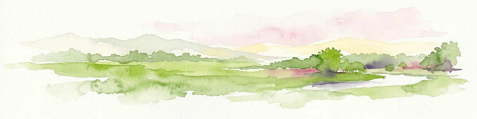
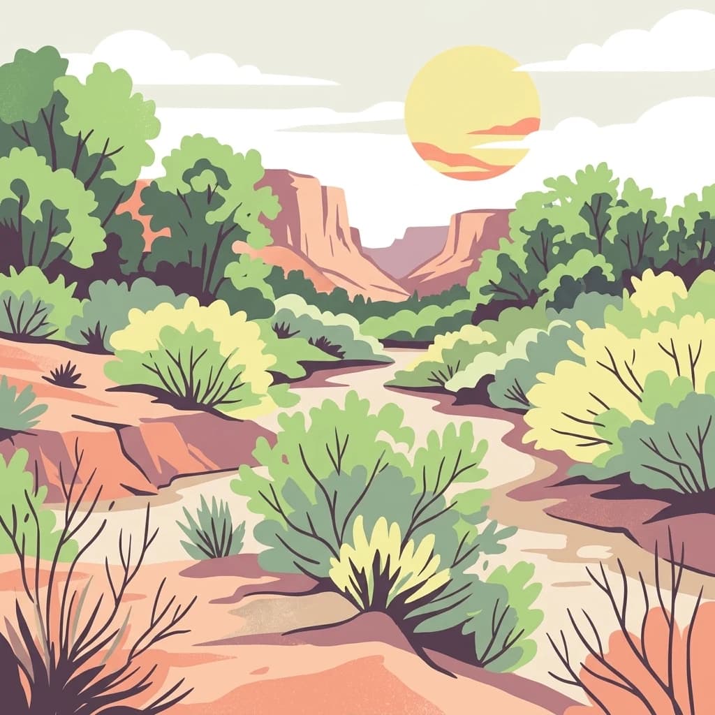
The physical landscape of Kaboré Tambi National Park is characterized by gently rolling savanna terrain interspersed with the distinctive ribbon of the Nazinon River valley. The topography remains relatively flat to undulating, typical of the Sudan-Guinea plains that dominate central Burkina Faso. In the northern portions of the park, the landscape opens into more typical Sudan savanna, characterized by scattered trees and ample grass cover that turns golden during the dry season. The southern sections transition toward Guinea savanna, where the vegetation becomes denser and more arboreal, with thicker tree cover creating a more wooded appearance. The Nazinon River itself flows through a defined valley, with banks lined by denser vegetation that provides a striking contrast to the surrounding savanna. Seasonal variation dramatically shapes the landscape, with the wet season bringing green verdant growth across the savanna while the long dry season transforms the park into a landscape of golden grasses and dust. The park lacks dramatic elevation changes but derives its visual character from the interplay between open grassland, woodland patches, and the river corridor.

Kaboré Tambi National Park ecosystems, habitats, and plant life

The ecological character of Kaboré Tambi National Park reflects the park's position within the Sudan-Guinea savanna transition zone. The northern reaches of the park feature typical Sudan savanna grassland characterized by scattered trees including various acacia species and terminalia trees amid extensive grass cover. Moving southward, the vegetation gradually transitions to a blend of southern Sudan savanna and northern Guinea savanna, where the tree density increases and the grass layer becomes less dominant. This vegetation gradient creates distinct habitat types within the park, supporting different communities of wildlife and contributing to overall biodiversity. The Nazinon River corridor represents a particularly important ecological feature, supporting riparian forests and wetland areas that provide critical water sources and habitat during the long dry season. These riverine areas also serve as important corridors for wildlife movement and support species that require more mesic conditions than the surrounding savanna provides.

Kaboré Tambi National Park wildlife and species highlights

Kaboré Tambi National Park is celebrated as Burkina Faso's most important birding destination, with the park's diverse habitats supporting an impressive roster of avian species. The bird community includes the colorful Senegal Parrot, a species frequently observed in the park's woodland areas, and the striking Violet Turaco with its distinctive purple and green plumage. The Yellow-billed Shrike and Bearded Barbet represent characteristic savanna bird species, while the Purple Starling adds splashes of iridescent color to the woodland edges. The park also supports populations of the Chestnut-crowned Sparrow-Weaver, Brown-rumped Bunting, Yellow Penduline Tit, and numerous other Passeriformes that inhabit the savanna and woodland environments. The park's significance as an Important Bird Area derives from both the diversity of species present and the presence of species with restricted distributions within Burkina Faso. While the Wikipedia source focuses primarily on birdlife, the park also supports populations of larger mammals typical of West African savanna, including various antelope species and other wildlife that rely on the protected habitat.

Kaboré Tambi National Park conservation status and protection priorities

Kaboré Tambi National Park holds significant conservation importance as Burkina Faso's largest protected area and a critical stronghold for savanna biodiversity in a country where natural habitats face considerable pressure from agricultural expansion and human population growth. The park's IUCN Category II designation reflects its primary purpose of protecting natural ecosystems while allowing for sustainable tourism and environmental education. Its status as an Important Bird Area recognizes the global significance of its bird communities, particularly species that have limited distributions or are of conservation concern. The tragic death of ranger Kaboré Tambi in 1991 underscores the challenges facing conservation in West Africa, including poaching pressure and the need for adequate resources to protect wildlife. The park's location along the Nazinon River also provides important watershed protection, helping to maintain water quality and regulate flows for downstream communities.

Kaboré Tambi National Park cultural meaning and human context

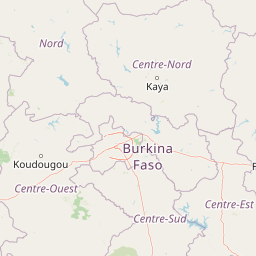
The park's name derives from the sacrifice of Kaboré Tambi, a park ranger killed in 1991 while protecting the area's wildlife from poachers. This tragic event gave the park both its current name and a deeper significance within Burkina Faso's conservation narrative, transforming the protected area into a memorial for the rangers who risk their lives to protect the nation's natural heritage. The nearby town of Pô provides the historical and administrative reference point for the park's original name and continues to serve as a gateway community for visitors. The park sits within a region inhabited by Burkina Faso's Mossi people, the country's largest ethnic group, though the park itself does not contain significant permanent settlements given its protected status.

Top sights and standout views in Kaboré Tambi National Park

The park's exceptional bird diversity makes it the premier destination for ornithological tourism in Burkina Faso, with species such as the Violet Turaco, Senegal Parrot, and numerous shrikes, barbets, and starlings drawing birdwatchers to the area. The transition between Sudan and Guinea savanna vegetation creates a visually varied landscape that changes noticeably as visitors move from north to south within the park. The Nazinon River provides a central ecological spine, with its riparian corridor offering a distinct habitat type and providing reliable wildlife viewing opportunities even during the dry season. The park's history as Pô National Park, combined with its renaming to honor a fallen ranger, gives the area a meaningful human story that distinguishes it from purely natural attractions.

Best time to visit Kaboré Tambi National Park

The optimal time to visit Kaboré Tambi National Park is during the dry season from November to April, when wildlife congregates around remaining water sources and vegetation is less dense, making animal observation easier. The dry season also corresponds with the best birding conditions, as many species are more active around water and deciduous trees have lost their leaves, improving visibility. However, visitors should be prepared for high temperatures during this period, particularly in March and April when temperatures can be extreme. The wet season from June to September transforms the landscape into lush green but makes wildlife more difficult to locate as animals disperse across the park and vegetation becomes dense. Road conditions within the park may deteriorate during the rainy season.

Park location guide

Geography guide, regional context, and park location map for Kaboré Tambi National Park

Kaboré Tambi National Park park geography, regions, and map view in Burkina Faso
Understand where Kaboré Tambi National Park sits in Burkina Faso through a broader geographic reading of the surrounding landscape, nearby location context, and its mapped position within the national park landscape.

How Kaboré Tambi National Park fits into Burkina Faso

Burkina Faso is a landlocked West African nation. The Mossi people settled the area in the 11th and 13th centuries, establishing kingdoms such as Ouagadougou, Tenkodogo, and Yatenga. The French colonized the region in 1896 as part of French West Africa, and the country gained independence in 1960 as the Republic of Upper Volta before being renamed Burkina Faso in 1984 by President Thomas Sankara.

Wider geography shaping Kaboré Tambi National Park in Burkina Faso

Burkina Faso is a landlocked country in West Africa, bordered by Mali to the northwest, Niger to the northeast, Benin to the southeast, Togo and Ghana to the south, and Ivory Coast to the southwest. The terrain consists primarily of a peneplain with some laterite plateaus in the southeast. The country has several major rivers including the Mouhoun, Nakambe, and Comoé, though most are seasonal.

Map view of Kaboré Tambi National Park

Use this park location map to pinpoint Kaboré Tambi National Park in Burkina Faso, understand its exact geographic position, and read its mapped placement within the surrounding landscape more clearly.

Pigeon | © OpenStreetMap contributors

View Kaboré Tambi's varied savanna terrain, critical riparian habitats, and unique protected-area environment.

Visual Atlas of Kaboré Tambi National Park: Discover Landscapes, Habitats, and Park Scenery
Explore the distinctive visual identity of Kaboré Tambi National Park, showcasing its expansive Sudan-Guinea savanna, vital riparian zones along the Nazinon River, and diverse woodland ecosystems. This visual collection helps users grasp the park's unique protected-area character, seasonal transformations, and the specific habitats that support its renowned birdlife and other wildlife.

Kabore Tambi NP MS 10798.jpg

Park atlas

Trace West African conservation landscapes, compare regional protected areas, and expand your park discovery.

Explore Nearby National Parks and Protected Areas Around Kaboré Tambi National Park
Browse other national parks and protected areas located in the geographic vicinity of Kaboré Tambi National Park, discovering a diverse array of savanna, riparian, and woodland ecosystems across West Africa. Deepen your understanding of regional park geography and conservation efforts by comparing ecological characteristics and protected statuses of adjacent natural areas.
National parkBurkina Faso

Deux Balés National Park: Burkina Faso's Elephant Sanctuary and Savanna Protected Landscape

Explore mapped terrain and key geographic features of this protected area.

Deux Balés National Park serves as a vital protected area within Burkina Faso, acclaimed for harboring the largest elephant population in West Africa. This national park's protected landscape is defined by undulating granitic plains, lateritic plateaux, and distinct gallery forests lining the Black Volta River. The presence of ancient African baobab trees adds a unique visual character to the savanna ecosystem. Investigating this park reveals its significance for regional conservation, its mapped geographic boundaries, and its role within the broader context of protected lands in West Africa.

Area
810 km²
Established
1937
IUCN
II
National parkSavannah Region

Mole National Park: A Premier Protected Landscape in Ghana's Savannah Region

Explore mapped boundaries and Guinea savannah ecosystems.

Mole National Park represents a significant protected landscape within Ghana's Savannah Region, serving as the country's largest national park and a crucial conservation area for West African wildlife. The park's geography is defined by extensive Guinea savannah, characterized by grasslands with scattered woodlands and a prominent escarpment along its southern edge. Its vast expanse offers a unique opportunity to study mapped park boundaries and understand the ecosystem's role in regional conservation efforts. Discover the unique landscape context and protected area identity of this major West African wildlife refuge.

Area
4,840 km²
Established
1958
IUCN
II
National parkKara Region

Oti-Kéran National Park: Togo's Vast Protected Savanna Ecosystem and Regional Geography

Explore the mapped terrain and protected landscape of this key national park.

Delve into the geography of Oti-Kéran National Park, Togo's largest national park situated in the Kara Region. This protected savanna landscape, recognized as a Ramsar site, offers insights into its unique sudanian zone terrain, important bird habitats, and its function as a wildlife migration corridor. Understanding its mapped boundaries and ecological significance provides a core piece of the West African protected areas atlas.

Area
690 km²
Established
1950
IUCN
II
Relief
Lowland
National parkBenin

Pendjari National Park: Exploring Benin's Largest Protected Area and Savanna Landscape

Mapped boundaries and regional geography of a key West African wilderness.

Pendjari National Park is the largest protected area in Benin, safeguarding nearly 2,800 square kilometers of essential West African savanna ecosystem. This national park is a crucial element of the WAP Complex, offering a profound look at one of the region's last viable wilderness expanses. Through its mapped terrain, diverse landscapes from river valleys to mountainous cliffs, and its status as a protected landscape, users gain a deep understanding of its geographic significance and conservation value.

Area
2,755 km²
IUCN
II
National parkIvory Coast

Comoé National Park: A UNESCO World Heritage Site and Ivory Coast's Largest National Park

Explore its diverse savanna ecosystems and gallery forest geography.

Comoé National Park is a landmark protected area in West Africa, celebrated as the most biodiverse savanna on Earth. Situated across northeastern Ivory Coast, it encompasses a unique geographic gradient from Guinea savanna to Sudanian zones, supporting varied habitats from expansive savannas to dense gallery forests along the Comoé River. Its status as a national park highlights its critical role in wildlife conservation and its significant contribution to the understanding of transitional ecological landscapes.

Area
11,500 km²
Established
1983
IUCN
II
National parkGhana

Bui National Park: Protected Savanna Landscape and Black Volta River Geography in Ghana

Explore the mapped boundaries and unique ecosystems of this national park.

Bui National Park, a protected national park in Ghana, offers a rich geographic discovery of savanna ecosystems bisected by the Black Volta River. Its vast mapped area provides a unique setting for understanding riparian corridors, woodland savanna, and mountainous terrain. The park is critically important for its significant hippopotamus population and its designation as an Important Bird Area, showcasing its ecological value. Exploration of Bui National Park provides insight into Ghana's protected landscapes and their strategic position within West African geography, serving as a key entity for any natural atlas.

Area
1,820 km²
Established
1971
IUCN
II
National parkOti Region

Kyabobo National Park: Ghana's Highland National Park with Mount Dzebobo and Forest-Savanna Transition

Explore mountainous terrain, park boundaries, and regional geography in Oti Region.

Kyabobo National Park is a significant protected landscape in Ghana's Oti Region, celebrated for its mountainous topography and the commanding presence of Mount Dzebobo. This national park, established in 1993, safeguards a critical ecological transition zone featuring diverse habitats from dense forests to open tree savanna. Its unique geography and protected status make it a vital site for understanding regional conservation and atlas-based landscape exploration in West Africa, offering insights into varied terrain and ecosystems.

Area
360 km²
Established
1993
IUCN
II
National parkNiger

W National Park: Niger National Park, UNESCO World Heritage Site & Ramsar Wetland

Transborder savanna ecosystem and dramatic Niger River landscape.

W National Park in Niger offers a unique atlas view of a vast protected landscape defined by the Niger River's iconic W-shaped bend. As a UNESCO World Heritage Site and Ramsar Wetland, it protects crucial savanna plains, extensive floodplains, and rocky outcrops. This transborder conservation area is a vital habitat for West African wildlife, providing a rich context for geographic discovery and landscape exploration.

Area
10,000 km²
Established
1954
IUCN
II

Common questions about visiting, size, designation, and location context for Kaboré Tambi National Park

Kaboré Tambi National Park FAQs for park facts, access, geography, and protected area context
Find quick answers about Kaboré Tambi National Park, including protected-area facts, park geography, trail and visitor context, and how the park fits into its surrounding country and regional landscape.
MoriAtlas Explorer

Continue Your Protected Areas Search Across the Global Atlas

Deepen your exploration by continuing the structured search for national parks and protected areas worldwide. Utilize the comprehensive filtering capabilities to compare different conservation landscapes and refine your understanding of global park geography. Discover more about the distribution and characteristics of protected natural areas.

Global natural geography