Mori Atlas logo
National parkEurobodalla National Park

Discover the mapped boundaries and diverse habitats of this vital Australian national park.

Eurobodalla National Park: New South Wales Coastal Protected Landscape and Park Geography

Eurobodalla National Park is a significant protected area located along the South Coast of New South Wales, Australia. This coastal national park encompasses a non-contiguous stretch of diverse habitats, including expansive beaches, dynamic estuaries, vital wetlands, and vegetated headlands. Its geographic setting provides crucial habitat for a variety of bird species, particularly migratory shorebirds, making it a key component of a globally recognized Important Bird Area. As a national park, Eurobodalla offers a lens into the unique coastal geography and ecological systems of the region, supporting structured discovery for those interested in mapped protected lands.

coastal national parkNew South Walesbird habitatmigratory birdsImportant Bird AreaEast Asian Australasian Flyway

Eurobodalla National Park

National park

Park overview

Structured park overview, official facts, and landscape profile for Eurobodalla National Park

Eurobodalla National Park park facts, protected area profile, and essential visitor context
Review the core facts for Eurobodalla National Park, including designation, size, terrain, visitor scale, habitats, and operating context in one park-focused overview.

About Eurobodalla National Park

Eurobodalla National Park represents a significant coastal conservation initiative on the South Coast of New South Wales, protecting a diverse array of coastal ecosystems within a relatively compact area. The park's non-contiguous nature reflects the complexity of coastal land tenure in this region, with separate parcels protecting key habitat areas along approximately 100 kilometres of coastline. This coastal strip encompasses some of the most ecologically important habitats in southern NSW, including estuary systems at Moruya River, coastal lakes such as Tilba Tilba Lake, and extensive sandy beaches backed by forested dunes and headlands. The park provides critical habitat connectivity between larger protected areas further south, supporting wildlife movement along this biologically significant stretch of Australian coastline. The combination of coastal, estuarine, and freshwater environments within a single protected area creates unusual ecological richness, supporting species ranging from marine-influenced shorebirds to forest-dwelling mammals.

Quick facts and research context for Eurobodalla National Park

Eurobodalla National Park is located on the South Coast of New South Wales, spanning a non-contiguous coastal strip from Moruya Heads to Tilba Tilba Lake. The park covers 29.13 square kilometres and was established in December 1995 under IUCN Category II protection. The area is characterized by its diverse coastal landscape including beaches, coastal lakes, estuaries, and headland forests. The park is particularly significant for birdlife, with 131 bird species recorded within its boundaries, including several endangered species and migratory shorebirds.

Park context

Deeper park guide and search-rich context for Eurobodalla National Park

Eurobodalla National Park history, landscape, wildlife, and travel context
Explore Eurobodalla National Park through its history, landscape character, ecosystems, wildlife, conservation priorities, cultural context, and seasonal travel timing in a structured park guide built for atlas discovery and search intent.

Why Eurobodalla National Park stands out

Eurobodalla National Park is best known for its exceptional coastal bird habitat, forming part of a critically important bird area recognised by BirdLife International. The park protects vital foraging and resting grounds for migratory shorebirds including the Far Eastern curlew, bar-tailed godwit, and Eurasian whimbrel that travel along the East Asian Australasian Flyway. The park's estuarine and freshwater habitats support endangered species such as the long-nosed potoroo, white-footed dunnart, little tern, and hooded plover. Additionally, the park contains maritime heritage features including shipwrecks that add historical dimension to its natural values.

1080 Beach HDR
HDR image taken at 1080 Beach in Eurobodalla National Park near Narooma.

Eurobodalla National Park history and protected-area timeline

Eurobodalla National Park was formally established on 22 December 1995, representing the culmination of conservation planning efforts to protect the South Coast's coastal habitats. The park's creation reflected growing recognition of the ecological significance of this coastal strip, particularly its importance for migratory birds and threatened species. The non-contiguous configuration of the park likely reflects the complex pattern of existing land tenure along this developed section of coastline, with protected areas interspersed between private land and other land uses. Management responsibility rests with the NSW National Parks and Wildlife Service, which maintains the park's protected area status while providing public access to its coastal attractions. The identification of the broader region as an Important Bird Area followed the park's establishment, providing additional international recognition of its conservation significance.

Eurobodalla National Park landscape and geographic character

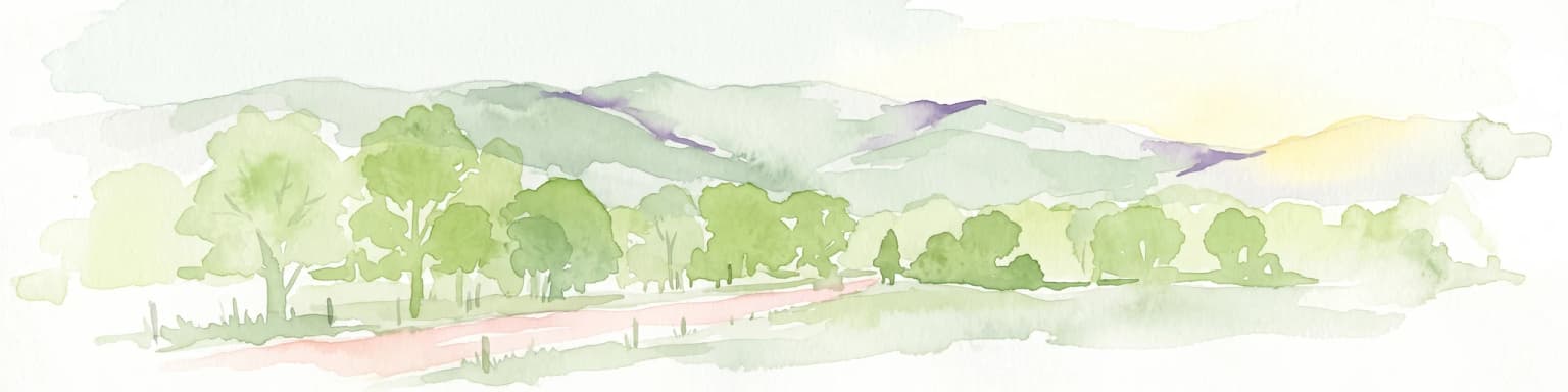
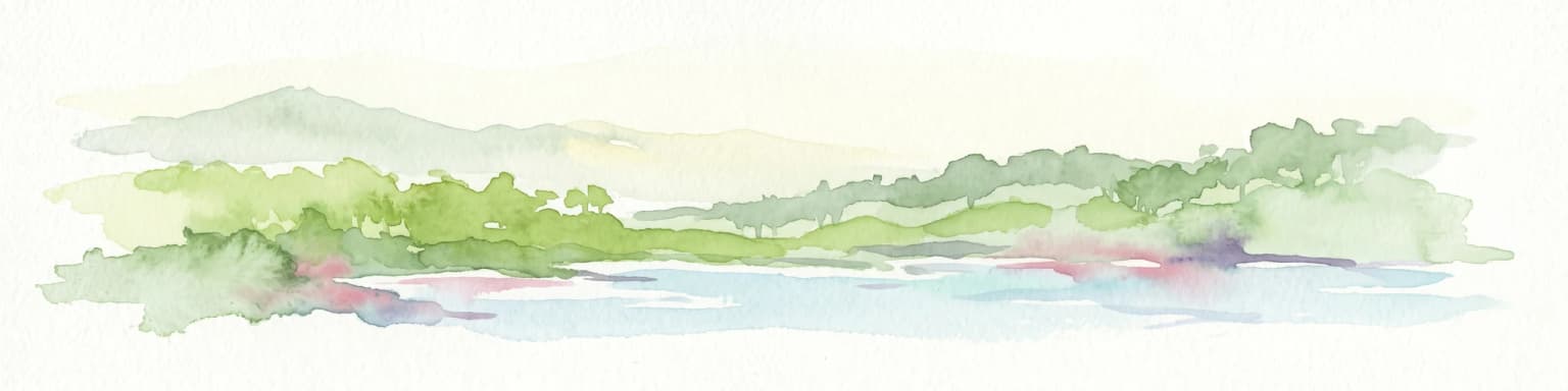
The landscape of Eurobodalla National Park is defined by its coastal setting along the South Coast of New South Wales. The park encompasses a variety of landforms including sandy beaches, coastal headlands, dune systems, estuarine flats, and the margins of coastal lakes. The coastline features several notable points including South Head at Moruya, where a historic pilot station marks the entrance to the Moruya River. The park includes areas of maritime influence where salt spray and coastal winds shape vegetation patterns, while sheltered estuarine areas provide calmer waters and wetland habitats. The terrain generally slopes gently from inland areas toward the coast, with low-lying coastal flats giving way to higher ground on exposed headlands. The park's coastal position means that ocean processes, tidal variations, and seasonal weather patterns strongly influence the character of different areas within the protected area.

Freshlake Comfortably Gruntled.jpg
Coastal freshwater lake in Eurobodalla National Park, south of Narooma, NSW. Trees in top left grow on sand dunes with Fuller's Beach behind.

Eurobodalla National Park ecosystems, habitats, and plant life

The ecological character of Eurobodalla National Park centres on the interface between marine, estuarine, and terrestrial environments that defines Australia's southern coast. The park protects important examples of coastal wetland ecosystems, including estuarine habitats where rivers meet the sea and freshwater lakes that provide year-round habitat for waterbirds. The vegetation reflects this coastal setting, with communities adapted to salt-laden winds, sandy substrates, and periodic inundation occupying different zones within the park. The park's designation as part of the Ulladulla to Merimbula Important Bird Area reflects the international significance of this coastal corridor for birds, particularly species that migrate between the northern hemisphere and Australia each year. The diversity of habitat types within the relatively compact park area supports an unusually high concentration of bird species for its size.

Eurobodalla National Park wildlife and species highlights

Eurobodalla National Park supports an impressive bird community with 131 species recorded within its boundaries, making it a significant location for avian biodiversity along the South Coast. The park serves as a crucial stopover and feeding ground for migratory shorebirds that travel the East Asian Australasian Flyway, one of the world's major bird migration routes. Species such as the Far Eastern curlew, Eurasian whimbrel, common greenshank, turnstone, and bar-tailed godwit utilise the park's coastal, estuarine, and freshwater habitats during their annual migrations. The park also protects several endangered species including the long-nosed potoroo, a small marsupial that inhabits forest understorey, the white-footed dunnart, a small nocturnal carnivorous marsupial, the little tern, a seabird that nests on sandy beaches, and the hooded plover, a shorebird species that breeds on ocean beaches. This combination of resident and migratory species creates exceptional birdwatching opportunities throughout the year.

Eurobodalla National Park conservation status and protection priorities

The conservation significance of Eurobodalla National Park extends beyond its boundaries through its role in the larger Ulladulla to Merimbula Important Bird Area, which has been identified by BirdLife International as an area of global importance for bird conservation. This recognition reflects the critical role the coastal corridor plays in supporting populations of swift parrots and numerous migratory shorebird species. The park protects habitat for several threatened species listed under Australian environmental legislation, including mammals, birds, and other fauna that rely on the park's diverse coastal ecosystems. The estuarine and freshwater habitats within the park serve as important feeding and resting areas for birds travelling between their breeding grounds in the northern hemisphere and southern Australia, making the park a vital node in the East Asian Australasian Flyway network.

Eurobodalla National Park cultural meaning and human context

Eurobodalla National Park contains evidence of human activity along this section of coast, including historical maritime features of heritage significance. The wreck of the SS Monaro, located within the park, represents a historical maritime incident that forms part of the local coastal history. Similarly, the wreck of the Kameruka adds to the maritime heritage dimension of the park. The pilot station at South Head Moruya reflects the long history of maritime navigation along this coastline, established to assist vessels negotiating the entrance to the Moruya River. Toragy Point cemetery represents another element of human history within the park landscape. These heritage features provide insight into the long relationship between communities and this stretch of coastline, complementing the park's natural values.

Top sights and standout views in Eurobodalla National Park

Eurobodalla National Park offers visitors the opportunity to experience a spectacular stretch of South Coast coastline with diverse habitats supporting exceptional birdlife. The park's beaches and estuaries provide excellent wildlife viewing, particularly for observing migratory shorebirds and the endangered hooded plover. Maritime heritage features including shipwrecks and the historic pilot station add historical interest to the natural landscape. The park's location between Narooma and the wider South Coast region makes it accessible for day visitors while maintaining a sense of natural coastal wilderness. The combination of coastal, estuarine, and forested environments within a relatively compact area allows visitors to experience multiple habitat types in a single visit.

Best time to visit Eurobodalla National Park

The optimal time to visit Eurobodalla National Park depends on the wildlife viewing opportunities visitors seek. Autumn and spring months coincide with the peak periods for migratory shorebird activity, as birds arriving from the northern hemisphere frequent the park's estuaries and beaches. These seasons offer excellent birdwatching opportunities as both arrival and departure movements occur. Summer months bring warmer conditions suitable for beach activities and provide opportunities to observe breeding shorebirds including little terns and hooded plovers. Winter months remain suitable for coastal walking and landscape appreciation, with resident bird species active throughout the year. The park can be visited year-round, though summer and autumn generally offer the most diverse wildlife viewing opportunities.

Park location guide

Geography guide, regional context, and park location map for Eurobodalla National Park

Eurobodalla National Park park geography, regions, and map view in Australia
Understand where Eurobodalla National Park sits in Australia through a broader geographic reading of the surrounding landscape, nearby location context, and its mapped position within the national park landscape.

How Eurobodalla National Park fits into Australia

Australia is a constitutional monarchy and federal parliamentary democracy comprising six states and ten territories. With a population of nearly 28 million, it is one of the world's most urbanised countries, with most people concentrated on the eastern seaboard. The country has a high Human Development Index and is known for its cultural diversity, ancient Aboriginal heritage, and unique wildlife.

Wider geography shaping Eurobodalla National Park in Australia

Australia occupies the entire Australian continent, the island of Tasmania, and numerous smaller islands. It is the world's flattest and driest inhabited continent, featuring vast deserts in the interior (the Outback), tropical rainforests along the eastern coast, and a coastline bordering the Indian and Pacific Oceans.

Map view of Eurobodalla National Park

Use this park location map to pinpoint Eurobodalla National Park in Australia, understand its exact geographic position, and read its mapped placement within the surrounding landscape more clearly.

Pigeon | © OpenStreetMap contributors

Location context for Eurobodalla National Park

New South Wales

Discover the visual character of this New South Wales national park, showcasing its diverse habitats and estuarine environments.

Eurobodalla National Park Photos: Coastal Landscapes and Protected Area Scenery
Explore a curated collection of Eurobodalla National Park images, highlighting its distinctive coastal terrain, sandy beaches, and lush forested headlands. These photographs offer valuable visual insights into the park's unique protected landscapes, crucial for understanding its environmental makeup and rich biodiversity along the South Coast.

1080 Beach HDR

Eurobodalla National Park

Freshlake Comfortably Gruntled.jpg

Park atlas

Trace connected protected landscapes and regional park geography along the diverse South Coast of New South Wales.

Explore National Parks and Protected Areas Near Eurobodalla National Park, New South Wales
After exploring Eurobodalla National Park's unique coastal ecosystems, continue your journey by browsing other national parks and protected areas across the South Coast of New South Wales. Compare diverse coastal and estuarine habitats, trace their regional spread, and understand the broader conservation landscape of Australia's southeastern protected regions.
National parkNew South Wales

Kooraban National Park: Protected Area Map and Landscape Geography in New South Wales

Explore critical marsupial habitat and transitional terrain.

Kooraban National Park in New South Wales is a protected national park recognized for its role in conserving vulnerable marsupial species and its distinctive transitional landscape. Spanning over 11,500 hectares, the park connects inland tableland environments with coastal ecosystems, defined by the Narira Creek valley and Tuross River system. Its geography supports four distinct vegetation communities, making it a vital area for endangered animal habitats and broader conservation efforts within southeastern Australia. This park provides essential context for understanding regional geography and protected-area networks.

Area
116.26 km²
Established
2001
IUCN
II
National parkNew South Wales

Biamanga National Park: Protected National Park with Volcanic Landscape & Regional Geography

Discover mapped terrain and natural park boundaries.

Biamanga National Park is a significant protected area in New South Wales, Australia, notable for its volcanic mountain landscape dominated by Mumbulla Mountain. This national park provides valuable context for understanding regional geography, offering insights into its unique terrain, granite formations, and creek systems. Explore its protected boundaries and the ecological significance of this distinct natural landscape.

Area
137.49 km²
Established
1994
IUCN
II
Relief
Mountain
National parkAustralia

Clyde River National Park: Australia's Protected Riverine Landscape and Swift Parrot Sanctuary

Discover its vital role in conservation and mapped geography.

Clyde River National Park is a critical protected area in Australia, safeguarding nine kilometers of river frontage along the Clyde River. Established for its ecological importance, particularly as a sanctuary for the endangered swift parrot, the park's landscape is characterized by riverine forests and eucalyptus woodlands. This designation highlights its role in preserving key habitats and contributing to the regional map of protected lands vital for biodiversity.

Area
10.91 km²
Established
2000
IUCN
II
Scope
Terrestrial
National parkNew South Wales

Wadbilliga National Park: Exploring New South Wales' Rugged Protected Landscape

Discover its mapped terrain and diverse ecosystem geography.

Wadbilliga National Park in New South Wales is a prime example of a large, remote protected area characterized by its rugged natural terrain and diverse ecosystems. Spanning approximately 985 square kilometres, the park features dramatic geographic contrasts, from deep gorges carved by rivers like the Tuross to expansive plateaus and sheltered gullies supporting varied vegetation communities. Its designation as a national park underscores its importance for conservation and provides a unique opportunity for understanding the mapped landscape context of southeastern Australia.

Area
985.3 km²
Established
1979
IUCN
Ib
National parkNew South Wales

Mimosa Rocks National Park: Coastal Protected Area Atlas and Geographic Discovery

New South Wales National Park with Mapped Coastal Terrain

Mimosa Rocks National Park offers a compelling glimpse into Australia's protected coastal geography. This national park showcases a dynamic landscape where rocky outcrops and sweeping beaches define the Sapphire Coastline within New South Wales. Engage with its mapped boundaries and understand its role as a vital part of the regional protected area network, perfect for detailed atlas exploration and appreciating natural landscape context.

Area
57 km²
Established
1973
IUCN
II
National parkNew South Wales

Budawang National Park: Wilderness Area and Rugged Terrain Map

Discover New South Wales protected landscape geography.

Budawang National Park is recognized for its exceptional wilderness character, defined by the steep topography of the southern Budawang Range. This protected national park features extensive cool temperate rainforests clothing its middle and upper slopes, creating a visually striking and ecologically rich mountain environment. Its rugged terrain, with deep valleys and rocky outcrops, distinguishes it as a remote natural landscape within New South Wales, offering unique habitat pockets and contributing to the region's protected area atlas.

Area
237 km²
Established
1977
IUCN
Ib
National parkNew South Wales

Morton National Park: A Protected Landscape of Waterfalls and Dissected Plateaus in New South Wales

Explore its mapped boundaries and regional geographic context.

Morton National Park is a nationally recognized protected area within New South Wales, Australia, celebrated for its striking natural features and geographic significance. The park's landscape is characterized by a dramatic dissected plateau, giving rise to impressive waterfall systems such as Fitzroy Falls and Belmore Falls that cascade into deep gorges. As a key component of the Southern Highlands' natural heritage, Morton National Park provides a rich subject for atlas exploration, offering insights into regional terrain, protected land distribution, and the unique interplay of natural elements within this Australian national park.

Area
1,997.45 km²
Established
1967
IUCN
II
National parkNew South Wales

Beowa National Park: Protected Landscape and Coastal Geography in New South Wales

Mapped terrain and unique erosion sites within this national park.

Delve into the protected landscape of Beowa National Park, situated in the coastal region of New South Wales. This national park showcases a varied terrain, from heathland headlands to eucalypt woodlands, with the visually dramatic Pinnacles erosion gully as a key highlight. Its geographic setting within Twofold Bay provides a compelling focus for atlas exploration of Australia's protected natural areas.

Area
104.86 km²
Established
1971
IUCN
II

Common questions about visiting, size, designation, and location context for Eurobodalla National Park

Eurobodalla National Park FAQs for park facts, access, geography, and protected area context
Find quick answers about Eurobodalla National Park, including protected-area facts, park geography, trail and visitor context, and how the park fits into its surrounding country and regional landscape.
MoriAtlas Explorer

Continue Your Protected Areas Search Across the Global Atlas

Deepen your exploration by continuing the structured search for national parks and protected areas worldwide. Utilize the comprehensive filtering capabilities to compare different conservation landscapes and refine your understanding of global park geography. Discover more about the distribution and characteristics of protected natural areas.

Global natural geography