Mori Atlas logo
National parkThrushton National Park

Mapping the distinct ecosystems and geographic context of this vital national park.

Thrushton National Park: Queensland's Semi-Arid Mulga Scrubland Protected Area

Thrushton National Park, located in Queensland, Australia, stands as a significant protected area showcasing the unique semi-arid landscapes of the Mulga Lands bioregion. This national park preserves extensive mulga scrubland, dry woodlands, and spinifex sandplains, offering a detailed geographic perspective on inland Queensland's natural environment. Its protection ensures a representative sample of this ecologically important interior character, inviting exploration through its mapped terrain and conservation context.

National ParksQueenslandMulga LandsSemi-Arid EnvironmentsScrublandSpinifex

Thrushton National Park

National park

Park overview

Structured park overview, official facts, and landscape profile for Thrushton National Park

Thrushton National Park park facts, protected area profile, and essential visitor context
Review the core facts for Thrushton National Park, including designation, size, terrain, visitor scale, habitats, and operating context in one park-focused overview.

About Thrushton National Park

Thrushton National Park occupies a significant position within South West Queensland's protected area network, preserving a representative sample of the Mulga Lands bioregion's characteristic ecosystems. The park's establishment in 1990 marked an important milestone in Queensland's conservation history, converting former pastoral land into a protected showcase of semi-arid woodland and scrubland environments. The landscape transitions between dense mulga corridors and more open spinifex-dominated plains, reflecting subtle variations in soil type and moisture availability across the park's extent. Visitors to Thrushton encounter a landscape that remains relatively remote and undeveloped, offering an authentic experience of Queensland's inland character far from the more frequently visited coastal and tropical destinations. The park's management under Queensland Parks and Wildlife Service ensures ongoing protection of its natural values while providing limited but meaningful opportunities for野外探索 and environmental appreciation.

Quick facts and research context for Thrushton National Park

Thrushton National Park spans 256.52 square kilometers in South West Queensland, Australia, at coordinates 27°45′50″S 147°40′00″E. The park was officially established in 1990 and is managed by the Queensland Parks and Wildlife Service, carrying IUCN Category II protection status. The landscape is characteristic of the Mulga Lands bioregion, featuring dense mulga scrub, flat spinifex sandplains, and dry eucalypt woodlands across its semi-arid terrain.

Park context

Deeper park guide and search-rich context for Thrushton National Park

Thrushton National Park history, landscape, wildlife, and travel context
Explore Thrushton National Park through its history, landscape character, ecosystems, wildlife, conservation priorities, cultural context, and seasonal travel timing in a structured park guide built for atlas discovery and search intent.

Why Thrushton National Park stands out

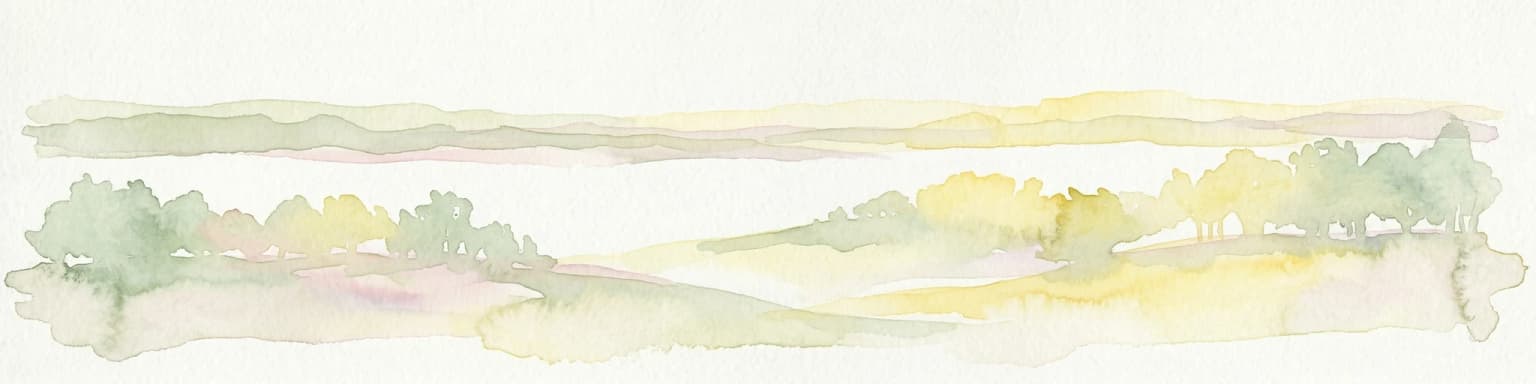
Thrushton National Park is best known for its extensive coverage of dense mulga scrub, the defining vegetation type of Queensland's Mulga Lands bioregion. The park protects one of the more intact examples of this semi-arid woodland ecosystem, characterized by Acacia aneura trees adapted to the region's low rainfall and sandy soils. The park also preserves flat spinifex sandplains and remnants of dry eucalypt woodlands, creating a landscape that represents the ecological character of inland Queensland's pastoral zone.

Thrushton National Park history and protected-area timeline

Thrushton National Park emerged from a period of pastoral use that stretched back generations, with the land previously grazed by the Gasteen family and other local pastoralists. The property's transition to national park status reflects a broader pattern in Australian conservation history where productive agricultural land was gradually set aside for nature preservation. The Gasteen family, particularly Jim Gasteen, played a pivotal role in advocating for the area's protection, recognizing the ecological significance of the mulga scrub and surrounding landscape. Their lobbying efforts in the late 1980s directly contributed to the park's formal establishment in 1990, transforming what had been productive sheep grazing country into a protected area dedicated to preserving Queensland's semi-arid natural heritage.

Thrushton National Park landscape and geographic character

The physical landscape of Thrushton National Park is defined by the gently undulating terrain typical of the Mulga Lands bioregion, characterized by flat to slightly rolling sandplains interspersed with low ridges and drainage lines. The park's elevation and topography create a landscape of subtle visual variety, where dense vegetation corridors alternate with more open spinifex-covered areas. The underlying soils are predominantly sandy and nutrient-poor, conditions that have shaped the distinctive plant communities adapted to this challenging environment. Red earth and sandy loam soils support the mulga woodland that dominates much of the park, while more open areas feature the distinctive tussock grasses and sparse shrubs of the spinifex sandplains.

Thrushton National Park ecosystems, habitats, and plant life

The ecological character of Thrushton National Park is intrinsically tied to the Mulga Lands bioregion, one of Australia's major arid and semi-arid land systems. The park's dense mulga scrub represents a climax vegetation community adapted to low annual rainfall and periodic drought conditions that characterize the interior of Queensland. These Acacia-dominated woodlands provide critical habitat structure across extensive areas of the park, creating a complex three-dimensional environment that supports a range of adapted species. The dry eucalypt woodlands add additional ecological diversity, with species such as gidgee and various eucalyptus creating more open canopy areas within the broader mulga matrix. The spinifex sandplains represent another important habitat type, with these grasses providing ground cover across areas where soil conditions or drainage patterns limit tree growth.

Thrushton National Park wildlife and species highlights

While detailed wildlife documentation for Thrushton National Park is limited in available sources, the park's mulga scrub and woodland habitats support adapted fauna communities characteristic of Queensland's semi-arid interior. The dense vegetation corridors provide shelter and foraging resources for various bird species, small mammals, and reptiles that have evolved to thrive in this challenging environment. The mix of vegetation types, from dense mulga woodland to more open spinifex plains, creates edge habitats and structural diversity that benefits biodiversity across the park's extent.

Thrushton National Park conservation status and protection priorities

Thrushton National Park represents an important conservation outcome for Queensland's semi-arid interior, protecting a representative example of the Mulga Lands bioregion that has been extensively modified by pastoral activities across surrounding regions. The park's establishment in 1990 provided formal protection for an ecosystem type that had been largely cleared or heavily modified for sheep grazing across the broader landscape. By preserving the mulga scrub, spinifex sandplains, and dry eucalypt woodlands within a protected boundary, Thrushton maintains ecological connectivity and habitat continuity for species adapted to these semi-arid conditions. The park also preserves tangible evidence of Queensland's pastoral heritage through the remnants of infrastructure from the former grazing era, creating a cultural landscape that reflects the intersection of natural and human history in the region.

Thrushton National Park cultural meaning and human context

The cultural landscape of Thrushton National Park carries the imprint of Queensland's pastoral history, with the land having supported sheep grazing operations before its conversion to protected status in 1990. The former presence of the Gasteen family and other pastoralists is still visible through surviving infrastructure remnants scattered across the park, creating a tangible connection to the region's agricultural past. This pastoral heritage represents the dominant human relationship with the land in South West Queensland, where extensive sheep and cattle grazing shaped both the landscape and the communities that developed across the interior. The successful advocacy for the park's establishment by Jim Gasteen and other families reflects a growing recognition in the late 20th century of the value of preserving natural landscapes beyond their productive agricultural potential.

Top sights and standout views in Thrushton National Park

Thrushton National Park offers visitors the opportunity to experience one of Queensland's less-visited protected landscapes, characterized by extensive mulga scrub and semi-arid woodland ecosystems. The park provides a counterpoint to Queensland's more famous tropical and coastal environments, showcasing the inland character of the state through its distinctive vegetation and remote setting. The remnants of pastoral infrastructure scattered throughout the park offer a glimpse into the agricultural history that preceded conservation protection, adding historical depth to the natural landscape. For those interested in experiencing the quieter side of Queensland's national park network, Thrushton represents a preserving of the state's interior character.

Best time to visit Thrushton National Park

Thrushton National Park is best visited during the cooler months of autumn and winter in Queensland, from approximately April through September, when temperatures are more comfortable for outdoor exploration. The semi-arid climate of South West Queensland means that summer months can bring extreme heat, making outdoor activities potentially uncomfortable and hazardous. Winter temperatures are generally mild and pleasant, providing ideal conditions for walking and wildlife observation within the park. The park can be visited year-round, but the cooler months offer more favorable conditions for experiencing the landscape and its natural values.

Park location guide

Geography guide, regional context, and park location map for Thrushton National Park

Thrushton National Park park geography, regions, and map view in Australia
Understand where Thrushton National Park sits in Australia through a broader geographic reading of the surrounding landscape, nearby location context, and its mapped position within the national park landscape.

How Thrushton National Park fits into Australia

Australia is a constitutional monarchy and federal parliamentary democracy comprising six states and ten territories. With a population of nearly 28 million, it is one of the world's most urbanised countries, with most people concentrated on the eastern seaboard. The country has a high Human Development Index and is known for its cultural diversity, ancient Aboriginal heritage, and unique wildlife.

Wider geography shaping Thrushton National Park in Australia

Australia occupies the entire Australian continent, the island of Tasmania, and numerous smaller islands. It is the world's flattest and driest inhabited continent, featuring vast deserts in the interior (the Outback), tropical rainforests along the eastern coast, and a coastline bordering the Indian and Pacific Oceans.

Map view of Thrushton National Park

Use this park location map to pinpoint Thrushton National Park in Australia, understand its exact geographic position, and read its mapped placement within the surrounding landscape more clearly.

Pigeon | © OpenStreetMap contributors

Location context for Thrushton National Park

Queensland
Park atlas

Browse adjacent national parks and protected landscapes across Queensland's semi-arid interior.

Discover Other National Parks and Protected Areas Near Thrushton National Park, Queensland's Mulga Lands
Explore national parks and protected areas geographically close to Thrushton National Park, including other reserves within Queensland's Mulga Lands bioregion and broader semi-arid environments. Comparing these protected landscapes helps users trace regional conservation patterns and understand the ecological context of inland Queensland.
National parkQueensland

Culgoa Floodplain National Park: Queensland National Park and Protected Landscape Identity

Explore mapped boundaries and regional geographic context.

Culgoa Floodplain National Park is a designated national park located in Queensland, Australia. This page details its identity as a protected landscape, emphasizing its geographical placement within the northeastern Australian region. Users can discover the park's mapped boundaries, understand its role within Queensland's geography, and engage with atlas-style exploration tools focused on conservation lands and natural terrain.

Area
428.59 km²
Established
1994
IUCN
II
Relief
Lowland
Watercolor illustration showing rolling hills, scattered trees, and distant mountains in a natural landscape.
National parkQueensland

Tregole National Park: Queensland National Park with Significant Ooline Woodlands

Explore unique semi-arid protected landscape and Ooline tree stands.

Tregole National Park in Queensland, Australia, is a protected natural area celebrated for its remarkable Ooline tree concentrations. This park offers a rare look at pure Ooline stands within a hot, dry inland climate, showcasing a significant example of semi-arid ecosystems. Its landscape represents the meeting point of brigalow and mulga biospheres, providing valuable context for understanding Australia's diverse protected areas and geographic regions within the MoriAtlas framework.

Area
75.79 km²
Established
1995
IUCN
II
Relief
Lowland
National parkAustralia

Culgoa National Park: Iconic Coolabah Woodlands and River Floodplain Landscapes of Australia

Explore mapped boundaries and regional geography in this New South Wales protected area.

Culgoa National Park is a premier example of a preserved semi-arid outback landscape in Australia, celebrated for its extensive and intact coolabah woodlands. This national park protects vital river floodplains and a chain of permanent waterholes along the Culgoa River, contributing significantly to the biodiversity of the Darling River catchment. Understanding its geographic setting and the mapped distribution of its unique vegetation communities offers deep insight into Australia's natural heritage.

Area
352.39 km²
Established
1996
IUCN
II
Relief
Lowland
National parkQueensland

Alton National Park: Discover Protected Landscape and Geographic Setting in Queensland

Explore the mapped boundaries and regional context of this national park.

Alton National Park is a key protected natural landscape within Queensland, Australia. This dedicated page focuses on its identity as a national park, providing clear geographic context and mapped outlines. Explore how Alton National Park contributes to the protected areas of northeastern Australia, offering valuable insights for atlas-based discovery of diverse terrains and conservation landscapes.

Area
5.58 km²
Established
1973
IUCN
II
Relief
Lowland
National parkQueensland

Chesterton Range National Park: Queensland National Park with Mapped Brigalow Belt Landscapes

Explore unique semi-arid woodlands and regional watershed geography.

Chesterton Range National Park offers a rich exploration of protected landscape identity within South West Queensland. This national park is crucial for conserving Brigalow Belt ecosystems, featuring diverse semi-arid woodlands across its ridgelines and valleys. Its role in protecting the headwaters for major waterways like the Warrego River and preserving habitats for threatened species makes it a significant site for understanding regional geography and conservation efforts in Australia. The park provides valuable insights into the mapped terrain and ecological importance of these unique natural landscapes.

Area
309.8 km²
Established
1992
IUCN
II
Relief
Upland
National parkQueensland

Erringibba National Park National Park: A Protected Landscape in Queensland's Atlas

Mapped boundaries and regional geographic context for this protected area.

Erringibba National Park, designated as a national park in Queensland, Australia, offers specific insights into protected landscapes and their geographic significance. This entry focuses on understanding the park's mapped features and its contribution to the regional atlas. Users can explore its identity as a protected area, providing a foundation for comprehending its natural landscape within the broader context of Queensland's diverse geography. This is essential for anyone seeking detailed geographic context on Australia's protected natural areas.

Area
8.77 km²
Established
1999
IUCN
II
Relief
Lowland
National parkQueensland

Southwood National Park: Queensland Protected Area and National Park Atlas Entry

Mapped protected landscape and regional geographic context for Southwood National Park.

Southwood National Park serves as a vital component of Queensland's protected lands network, offering a focused view for atlas exploration. Users can examine its specific mapped boundaries and understand its role within the broader geographic context of northeastern Australia. This detailed entry supports structured discovery of the park's natural landscape and its significance as a national park.

Area
71.2 km²
Established
1970
Relief
Lowland
Climate
Arid
National parkGoondiwindi Region

Bendidee National Park: Protected Landscape and Geographic Context

National park within the Goondiwindi Region, Australia

Bendidee National Park serves as a key protected area in the Goondiwindi Region of Australia. This detail page provides an atlas-focused perspective, detailing the park's mapped geographic extent and its significance as a natural landscape. Gain structured insights into Bendidee National Park's protected status and its place within the broader regional geography for informed exploration.

Area
9.3 km²
Established
1979
IUCN
II
Relief
Lowland

Common questions about visiting, size, designation, and location context for Thrushton National Park

Thrushton National Park FAQs for park facts, access, geography, and protected area context
Find quick answers about Thrushton National Park, including protected-area facts, park geography, trail and visitor context, and how the park fits into its surrounding country and regional landscape.
MoriAtlas Explorer

Continue Your Protected Areas Search Across the Global Atlas

Deepen your exploration by continuing the structured search for national parks and protected areas worldwide. Utilize the comprehensive filtering capabilities to compare different conservation landscapes and refine your understanding of global park geography. Discover more about the distribution and characteristics of protected natural areas.

Global natural geography